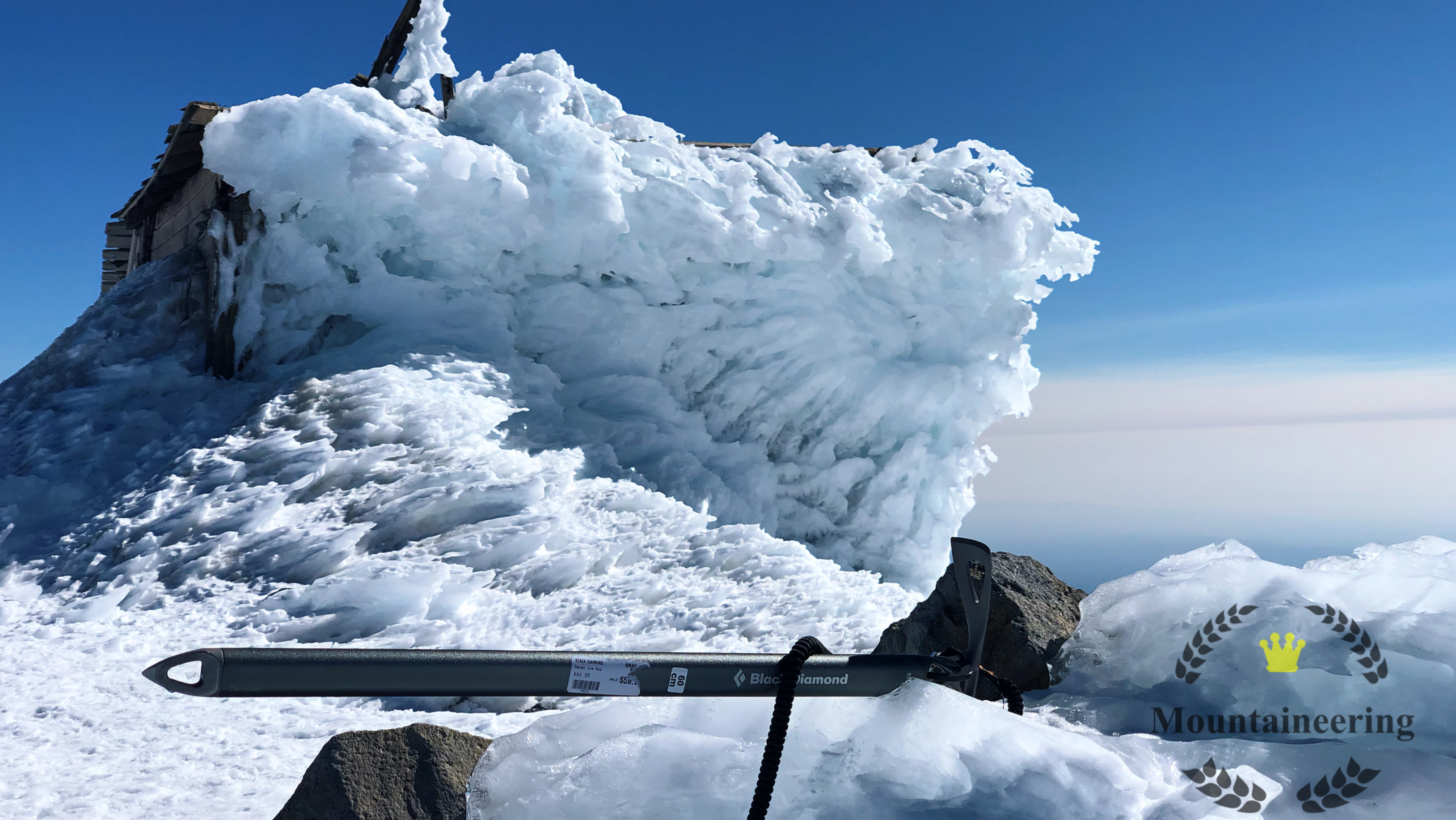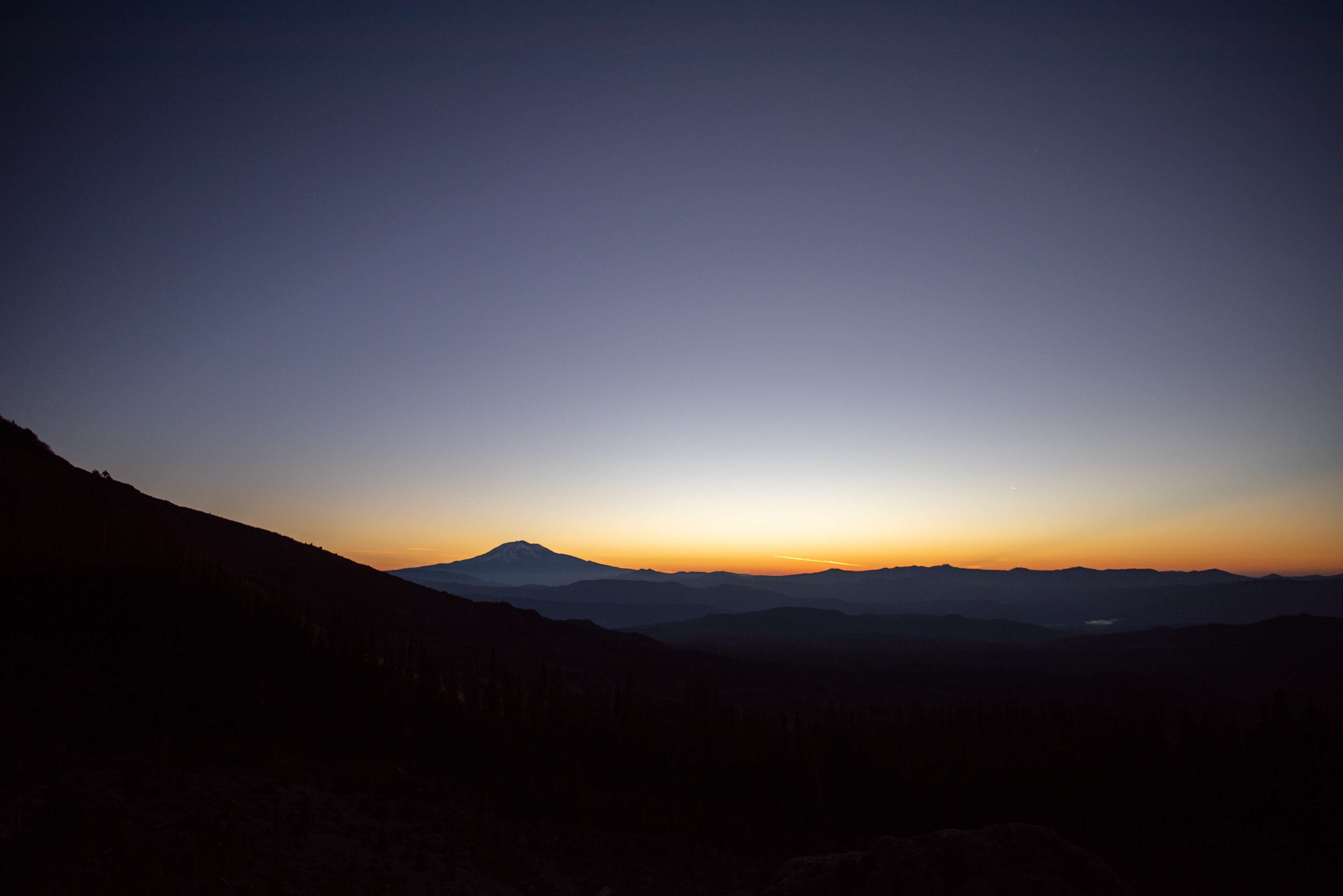
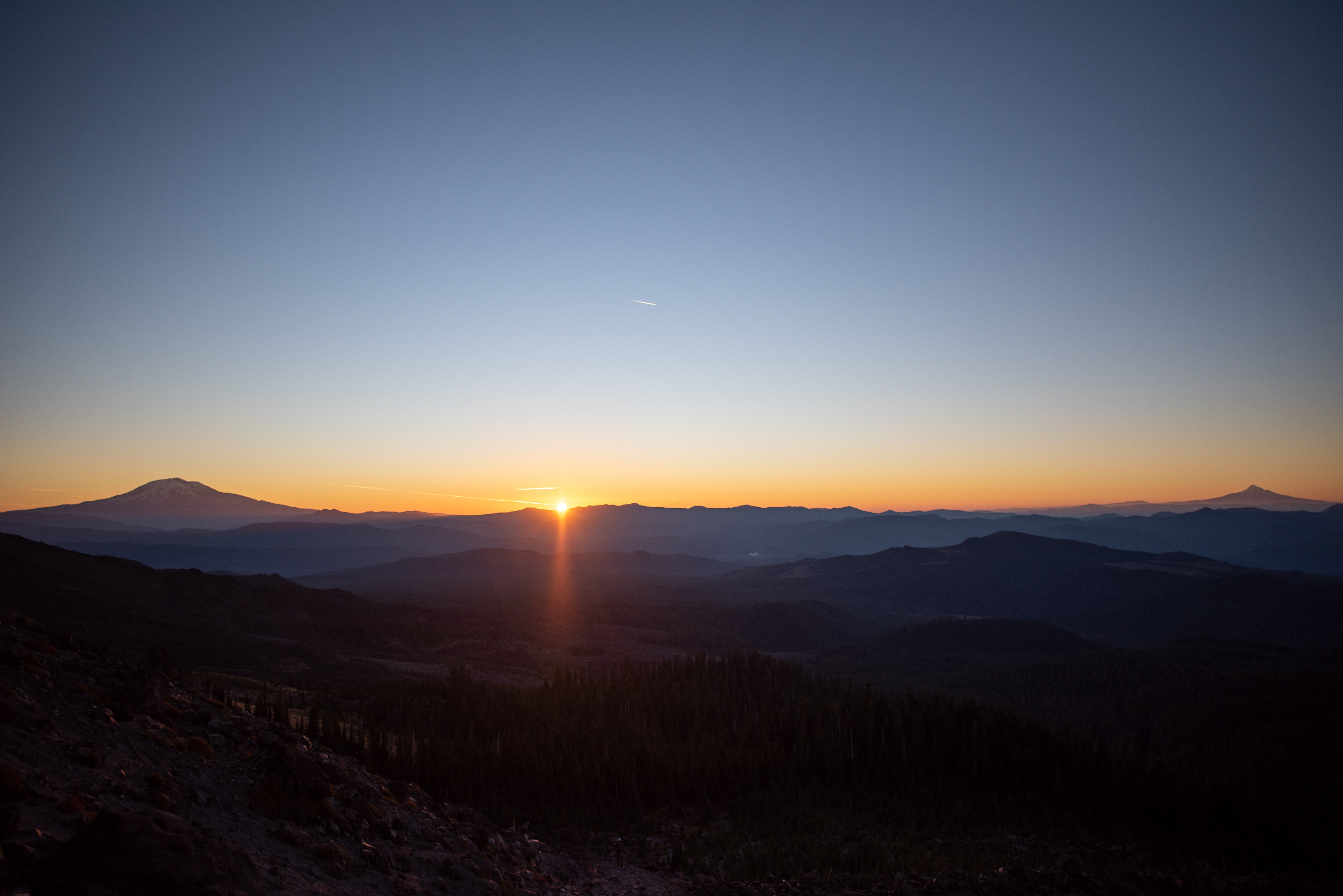
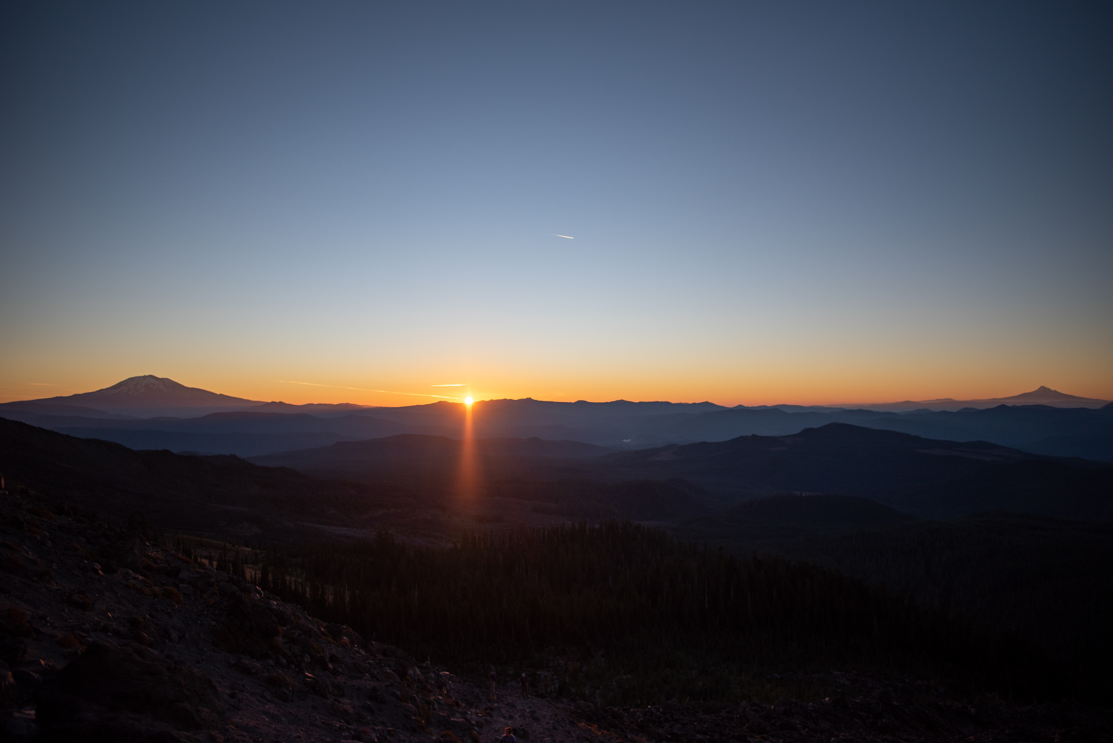
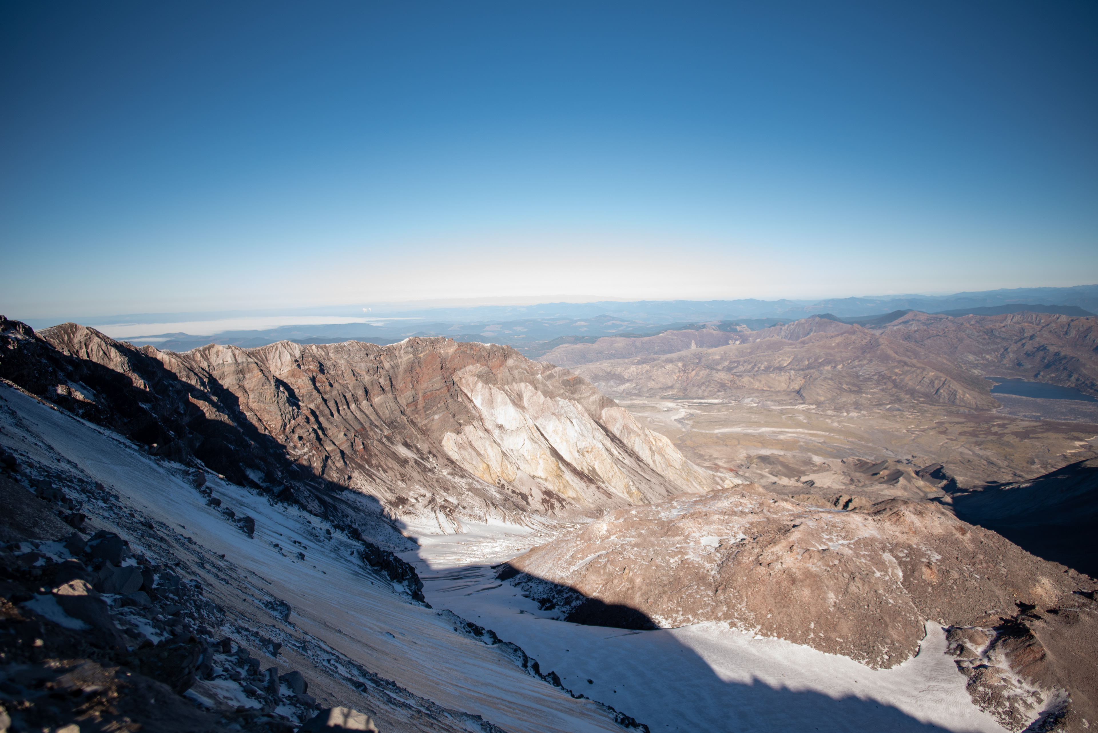

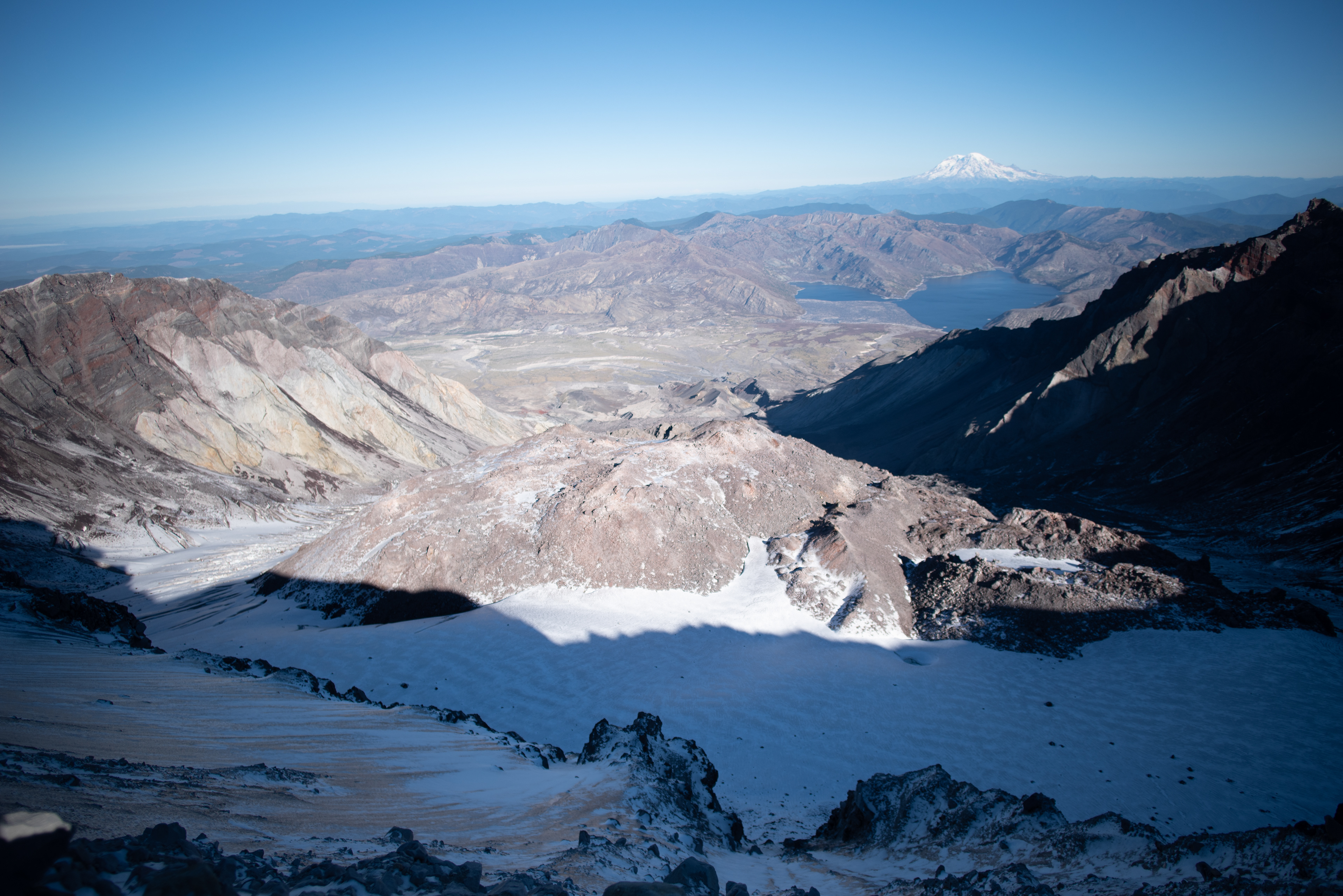
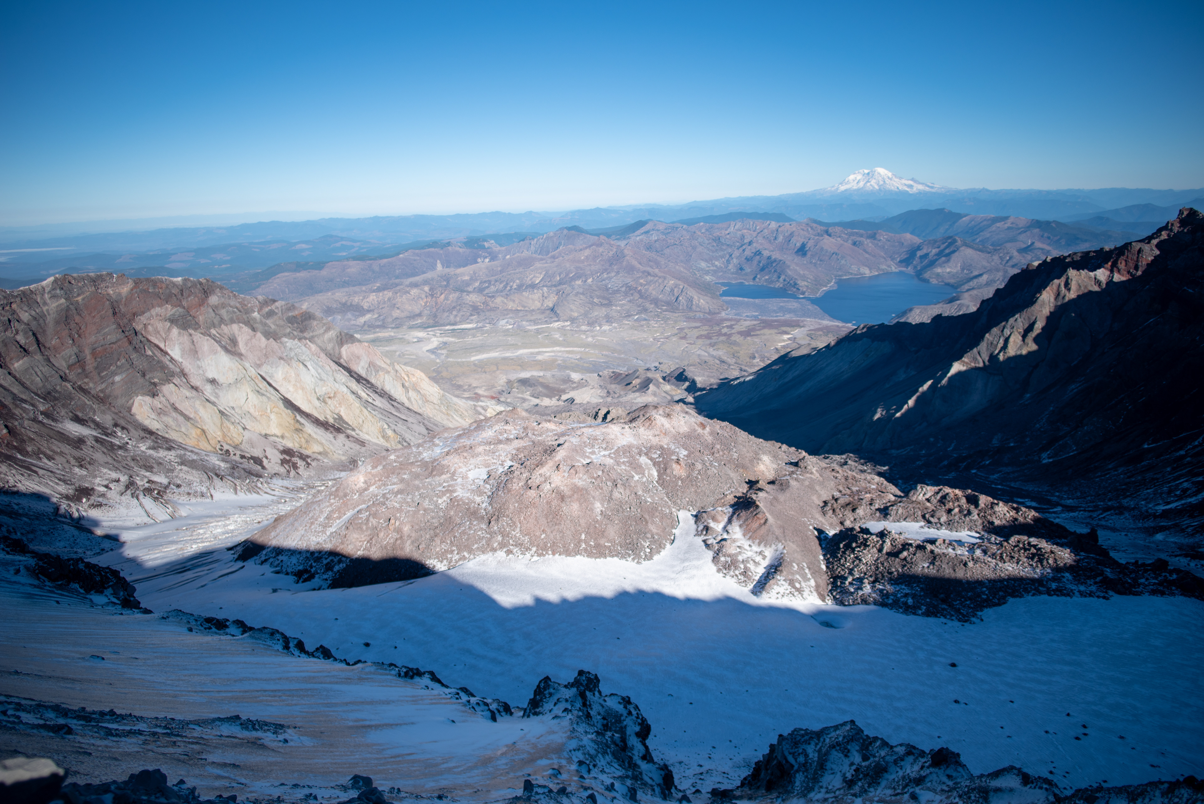

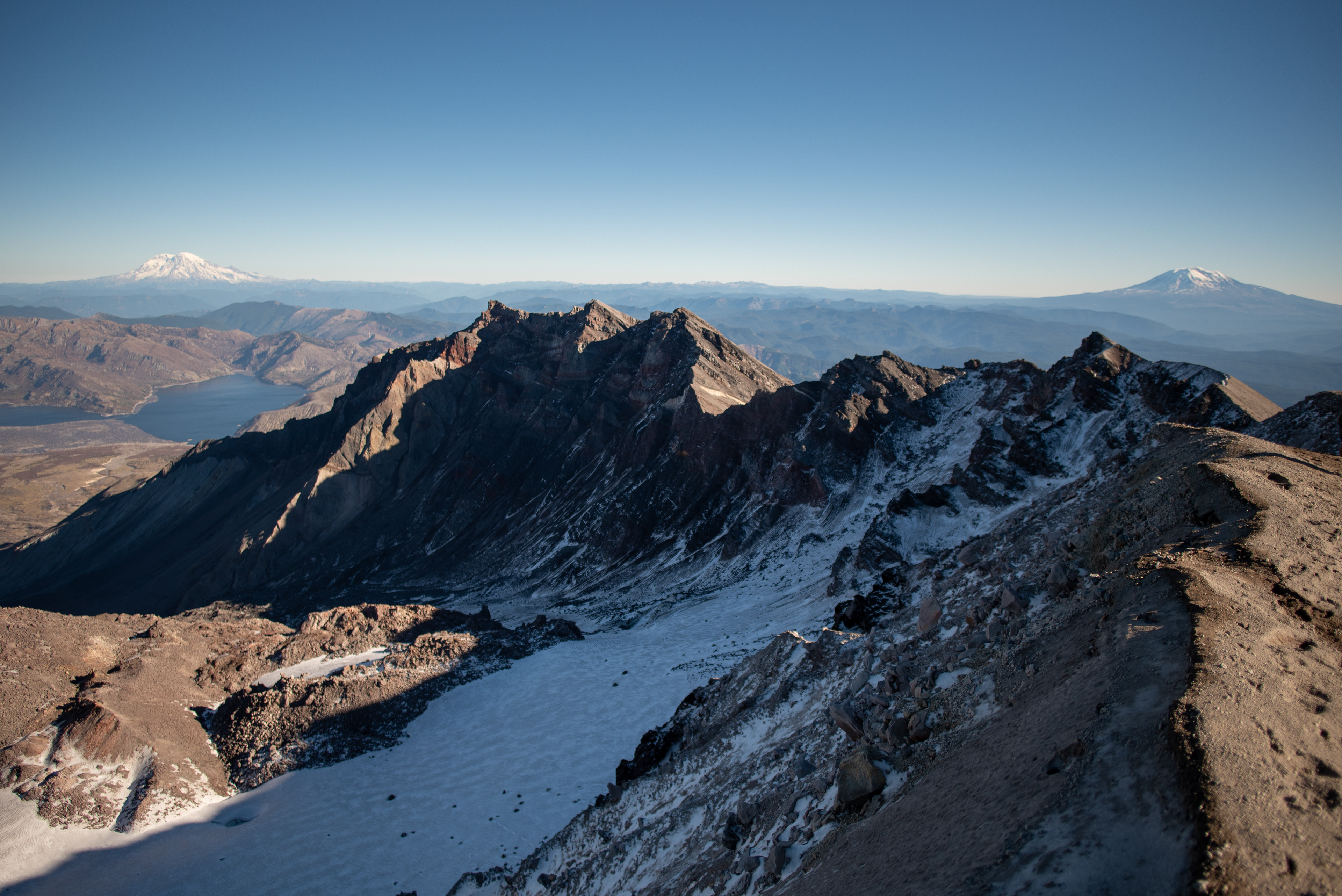
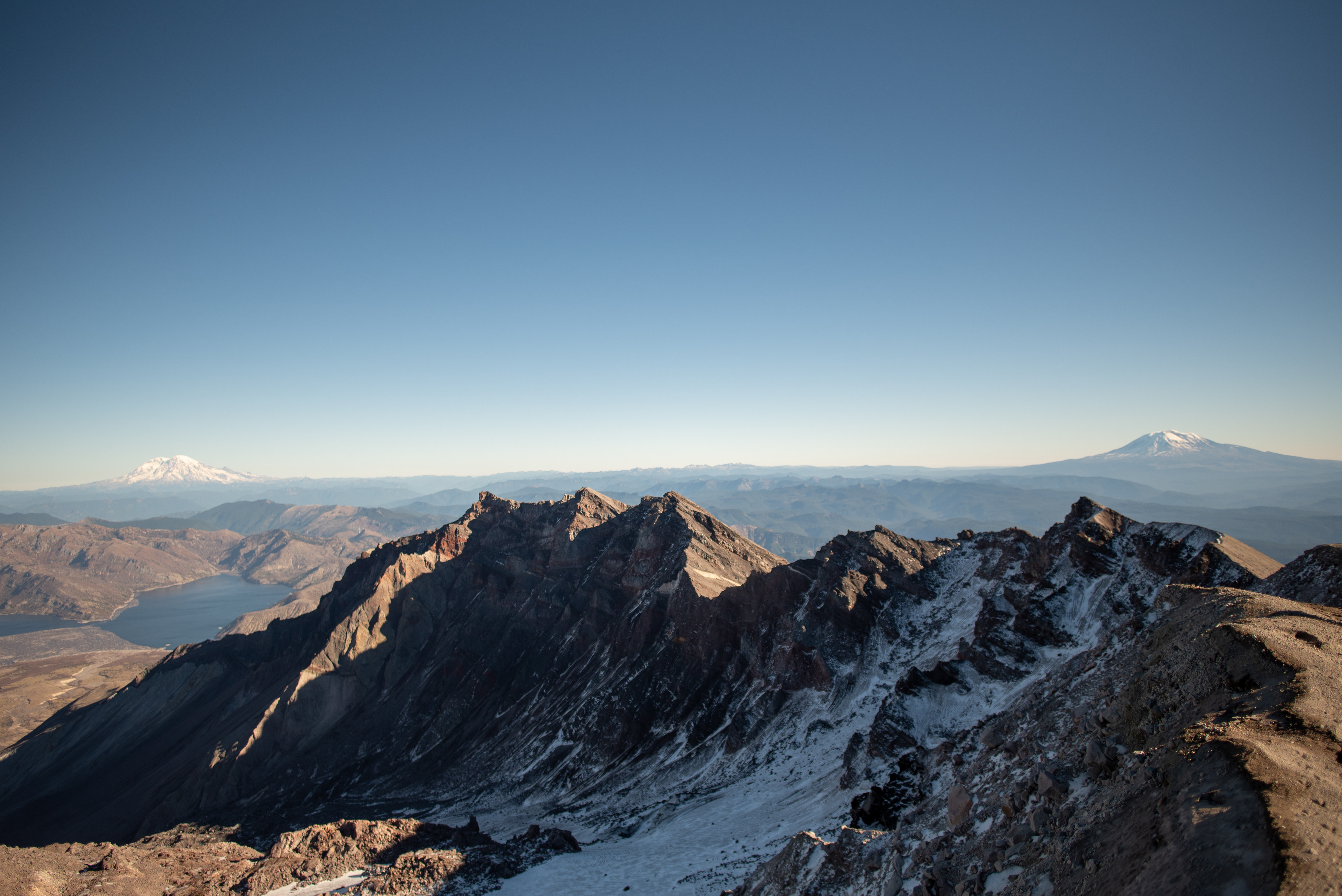

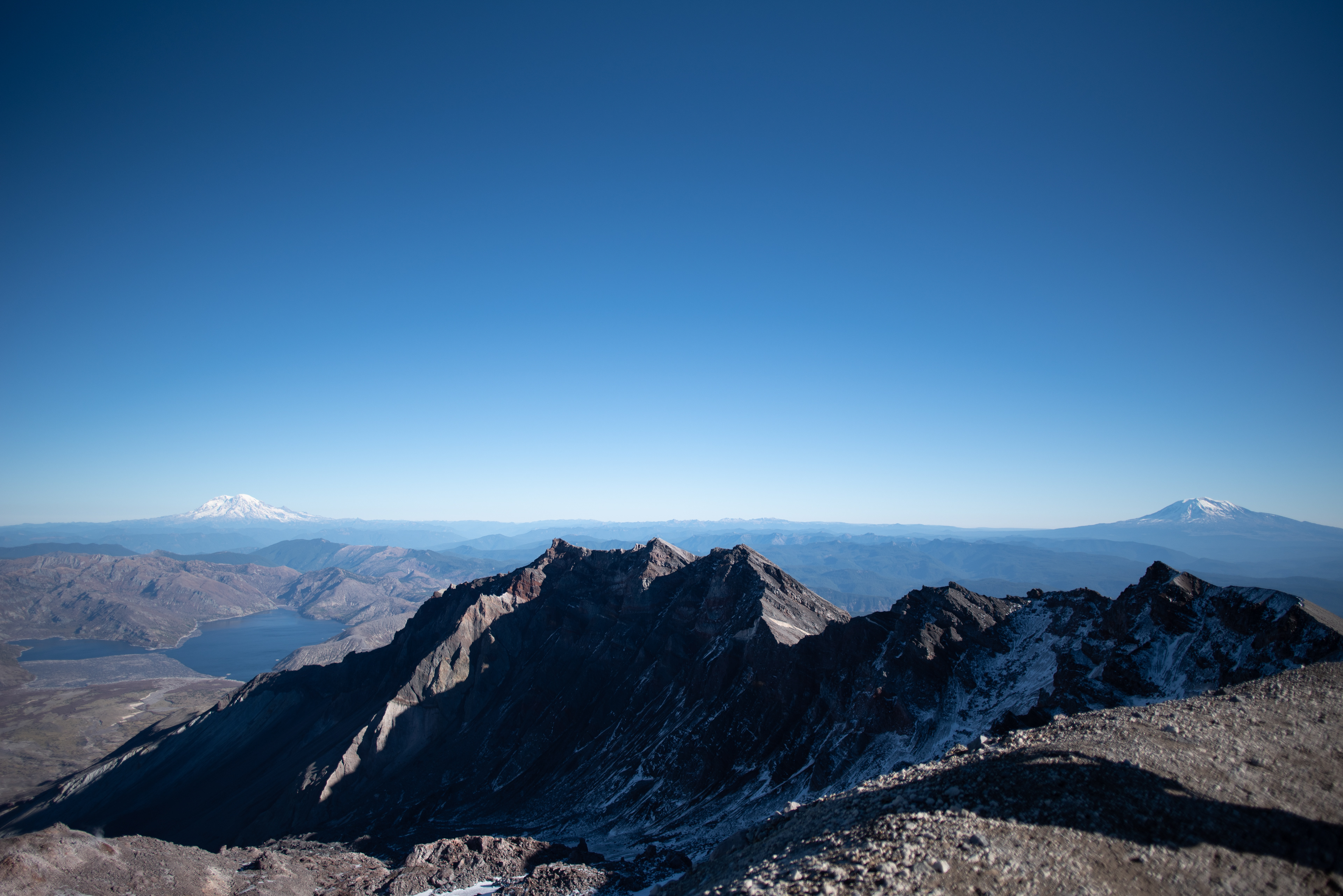
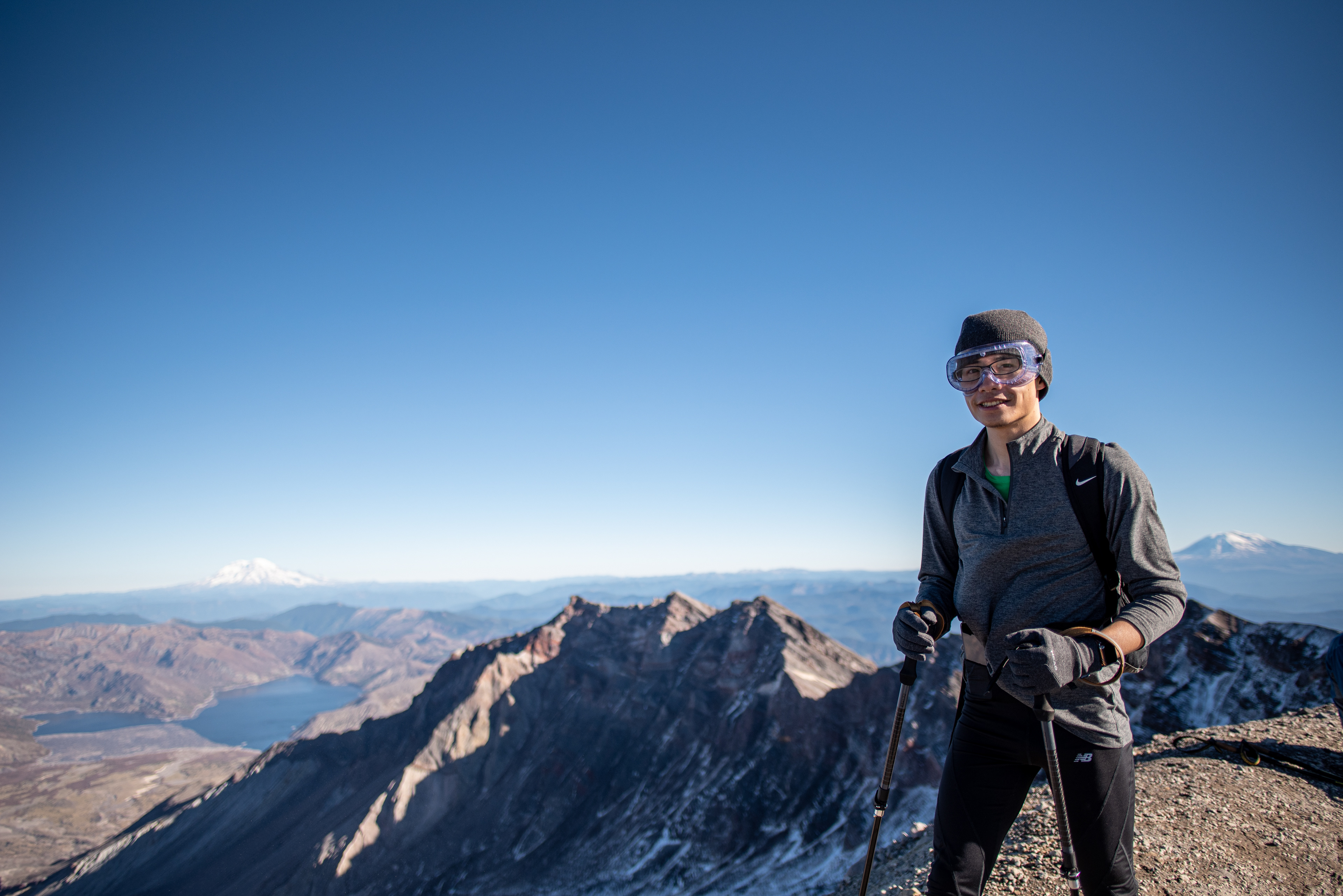


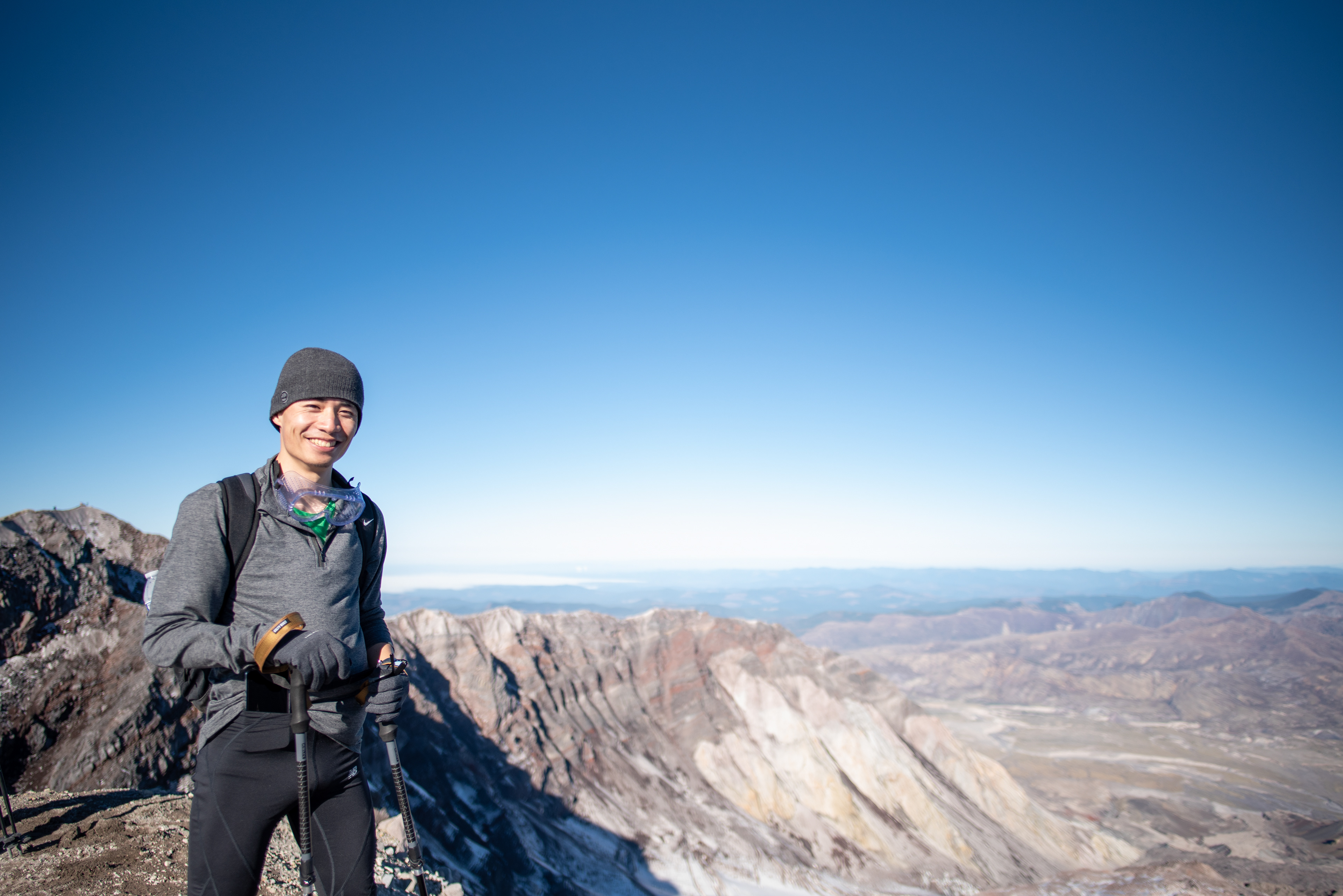

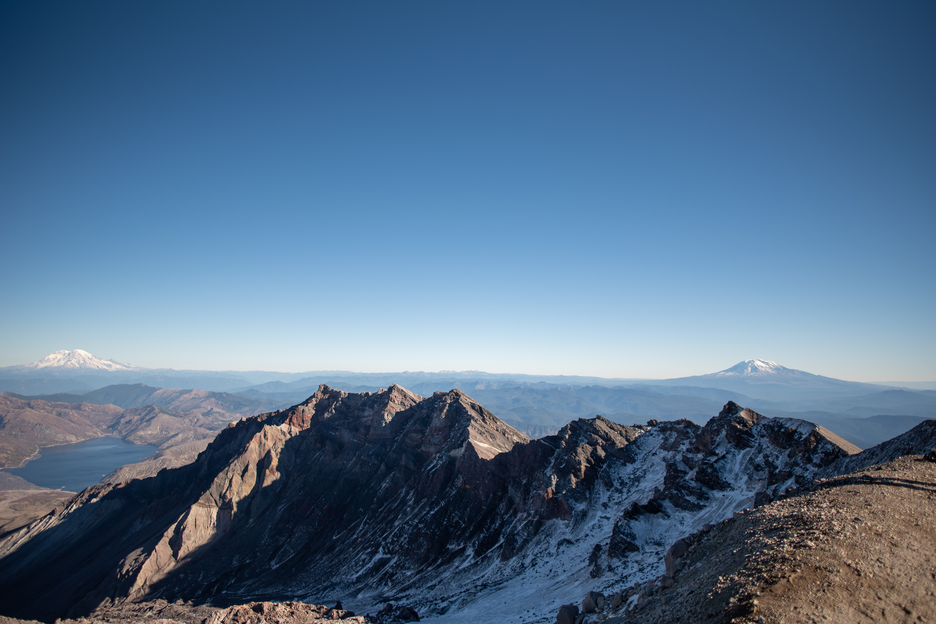
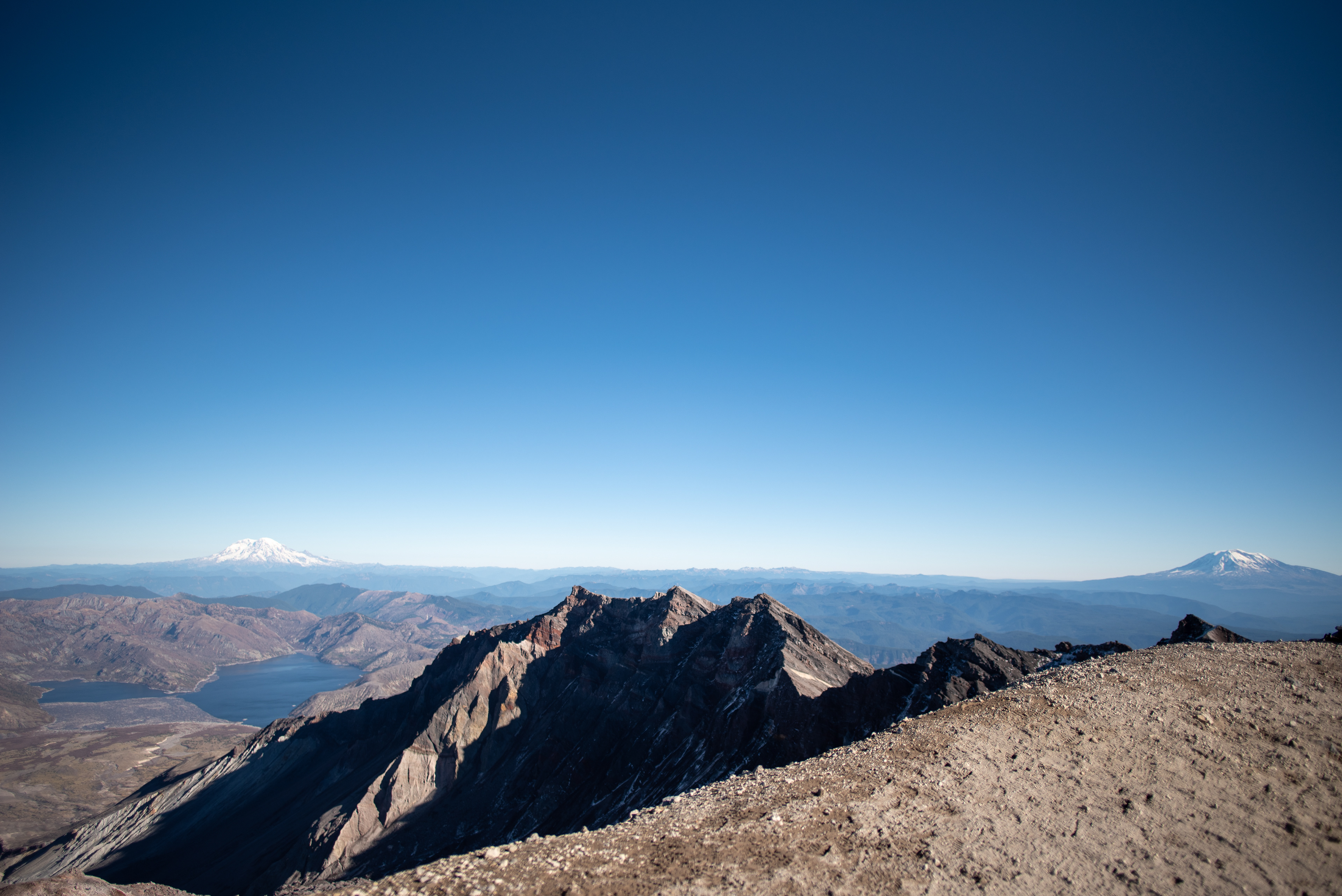
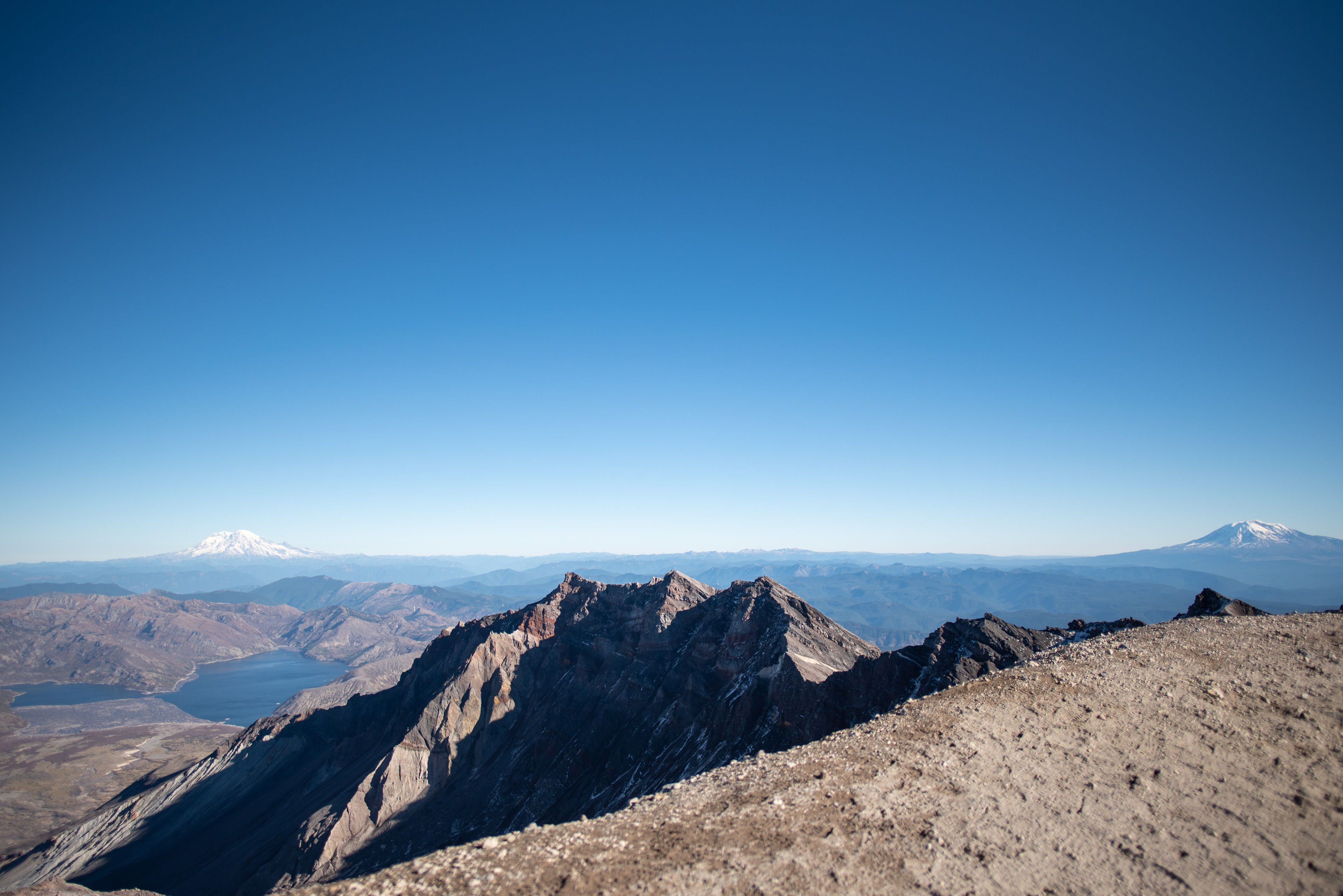
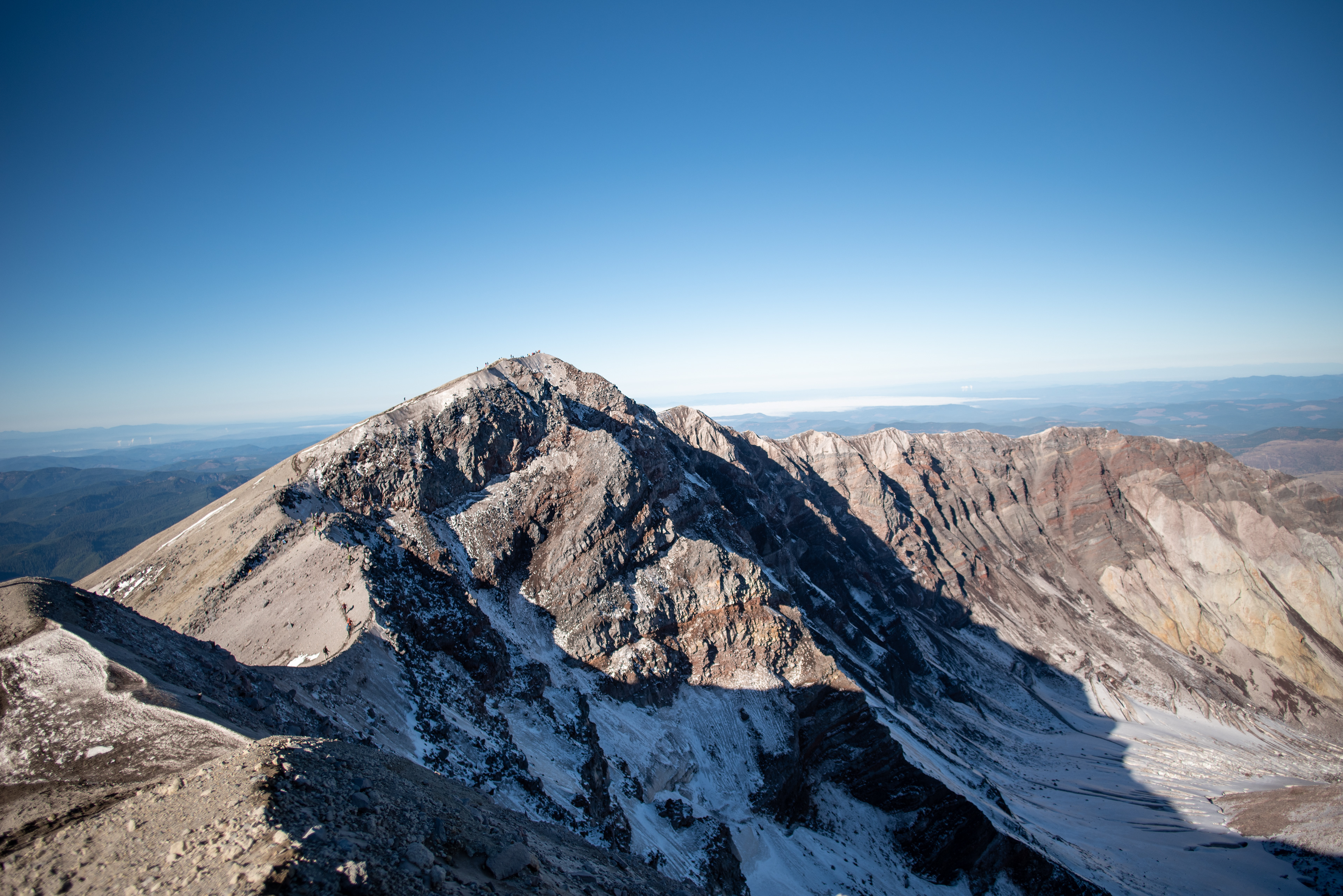
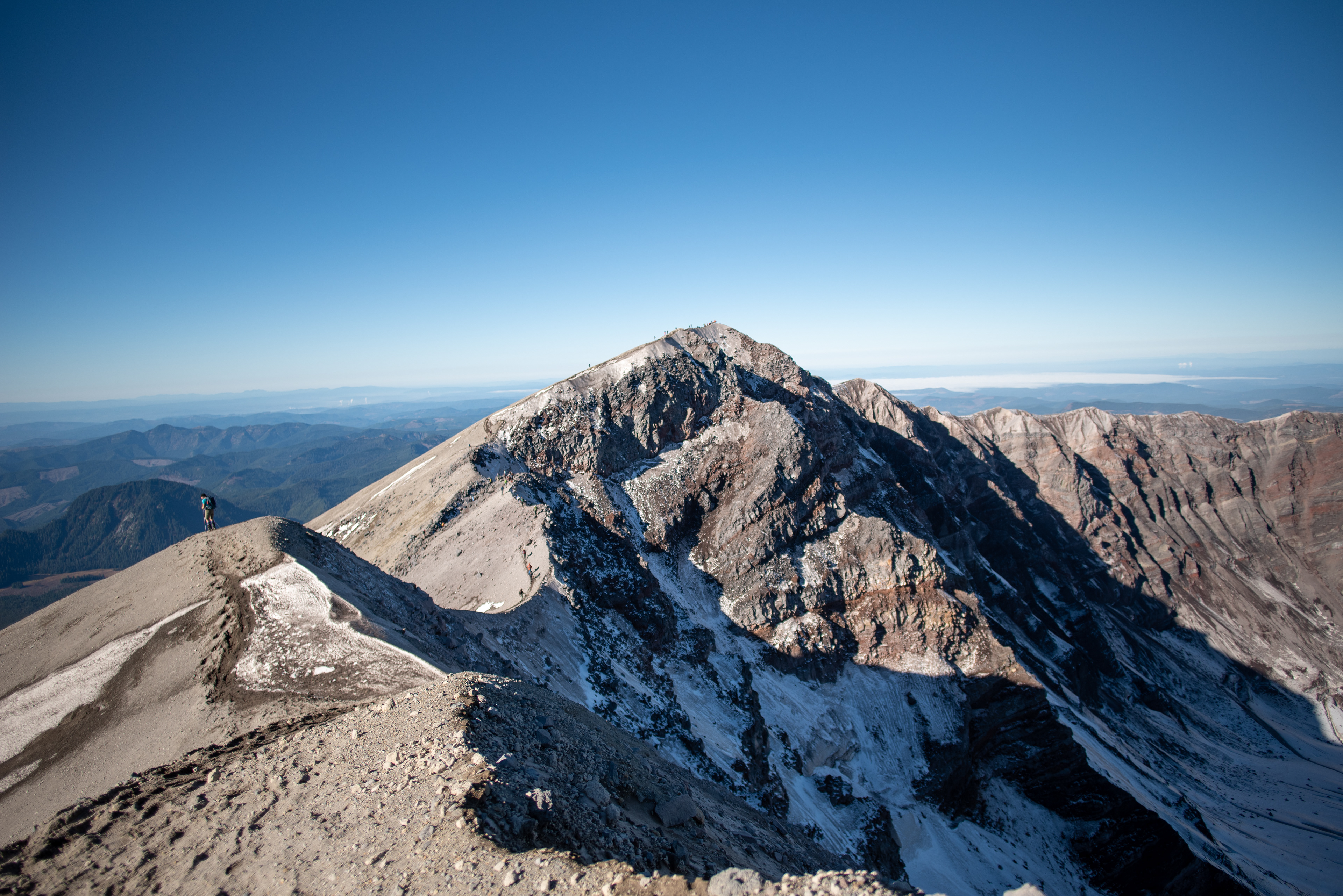
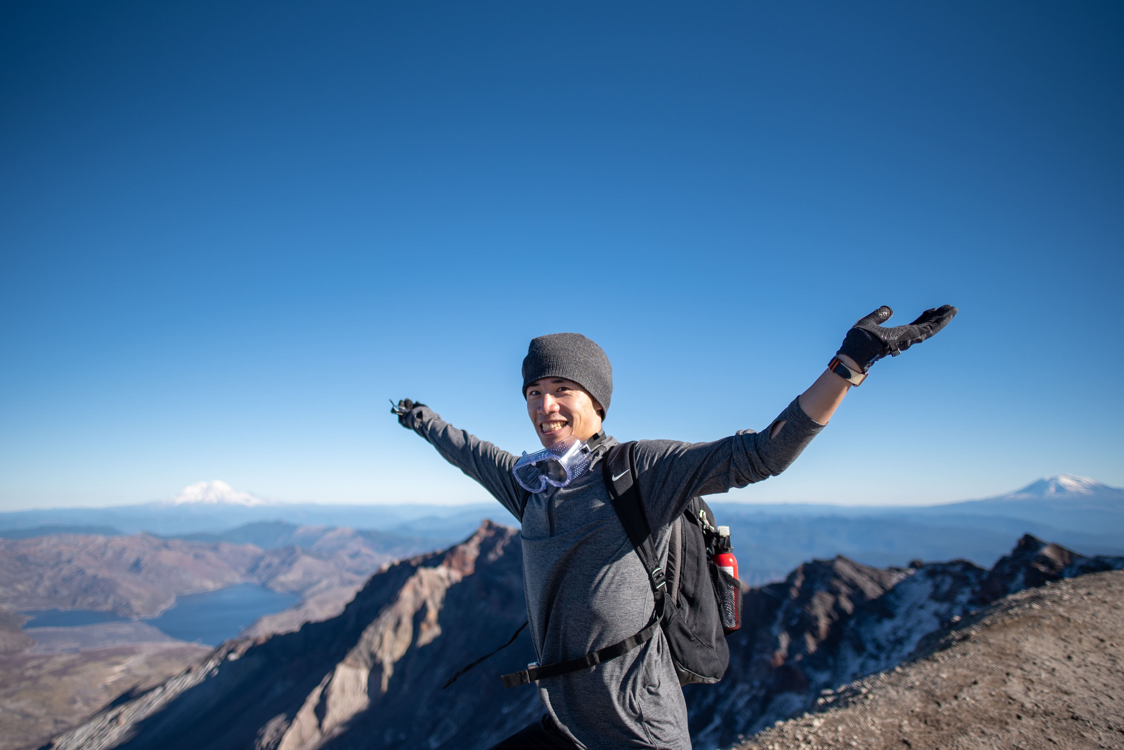
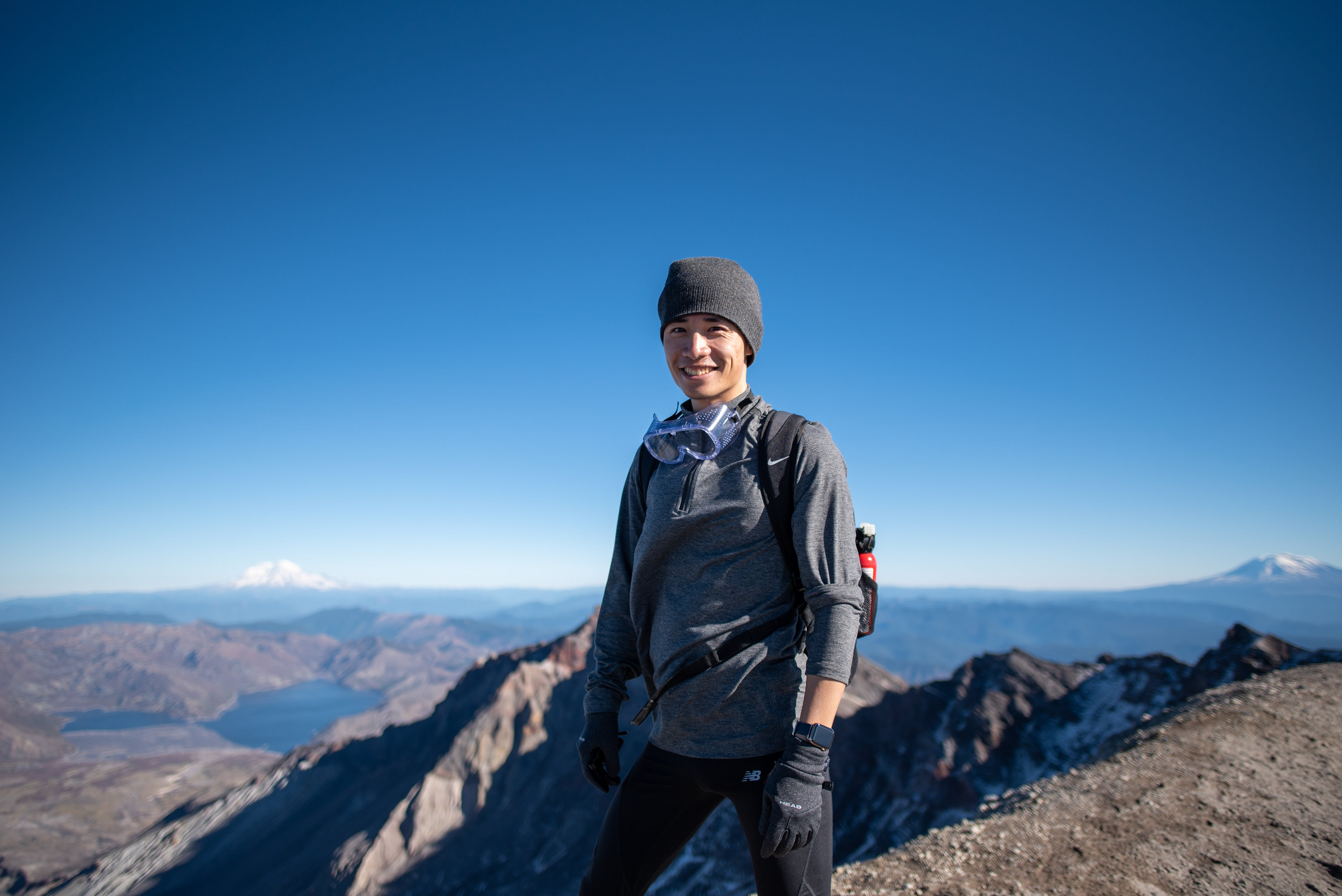
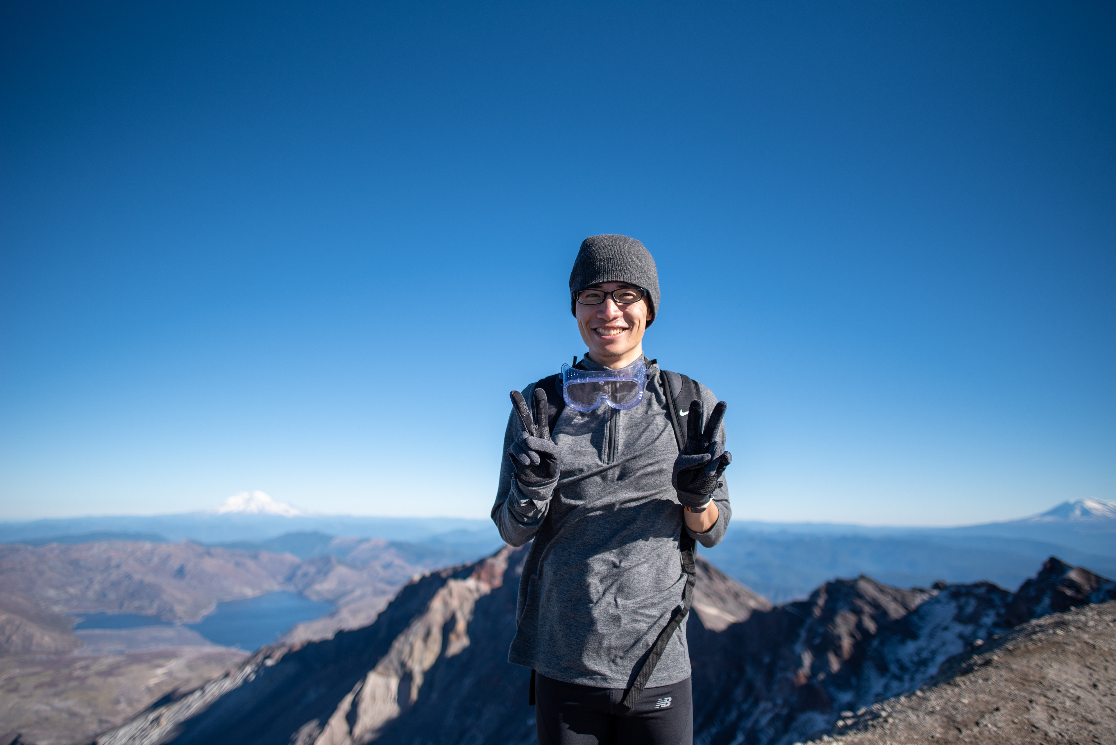
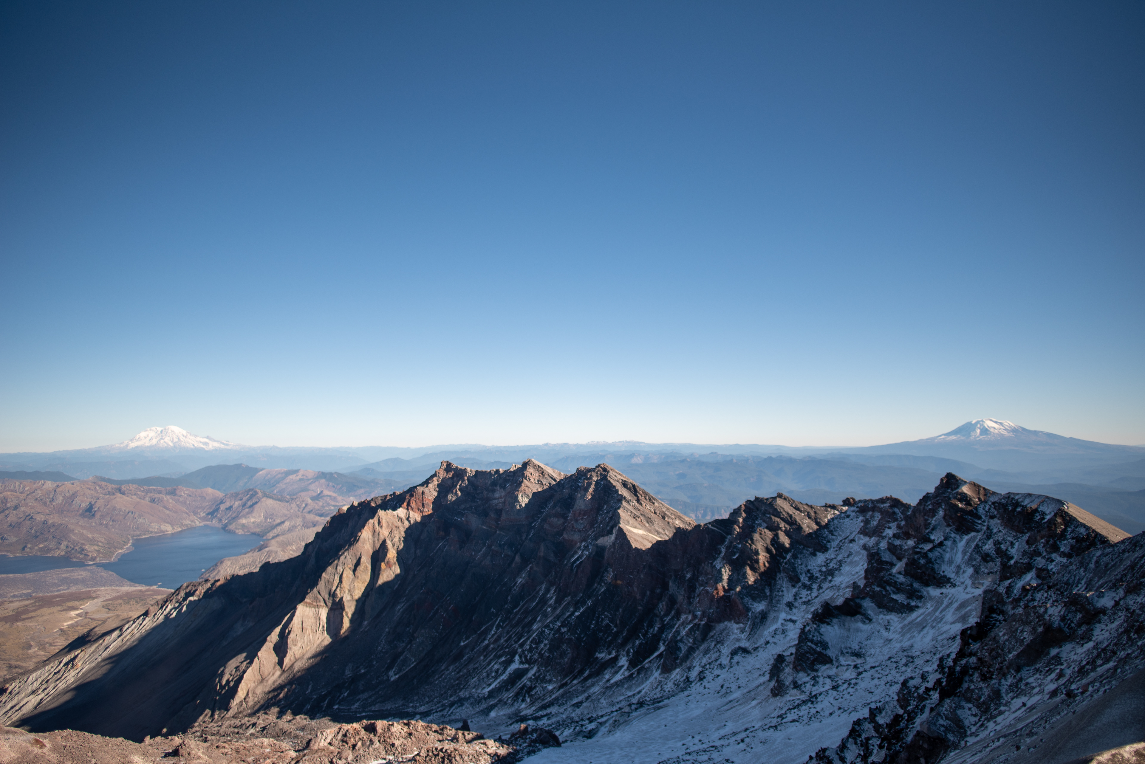


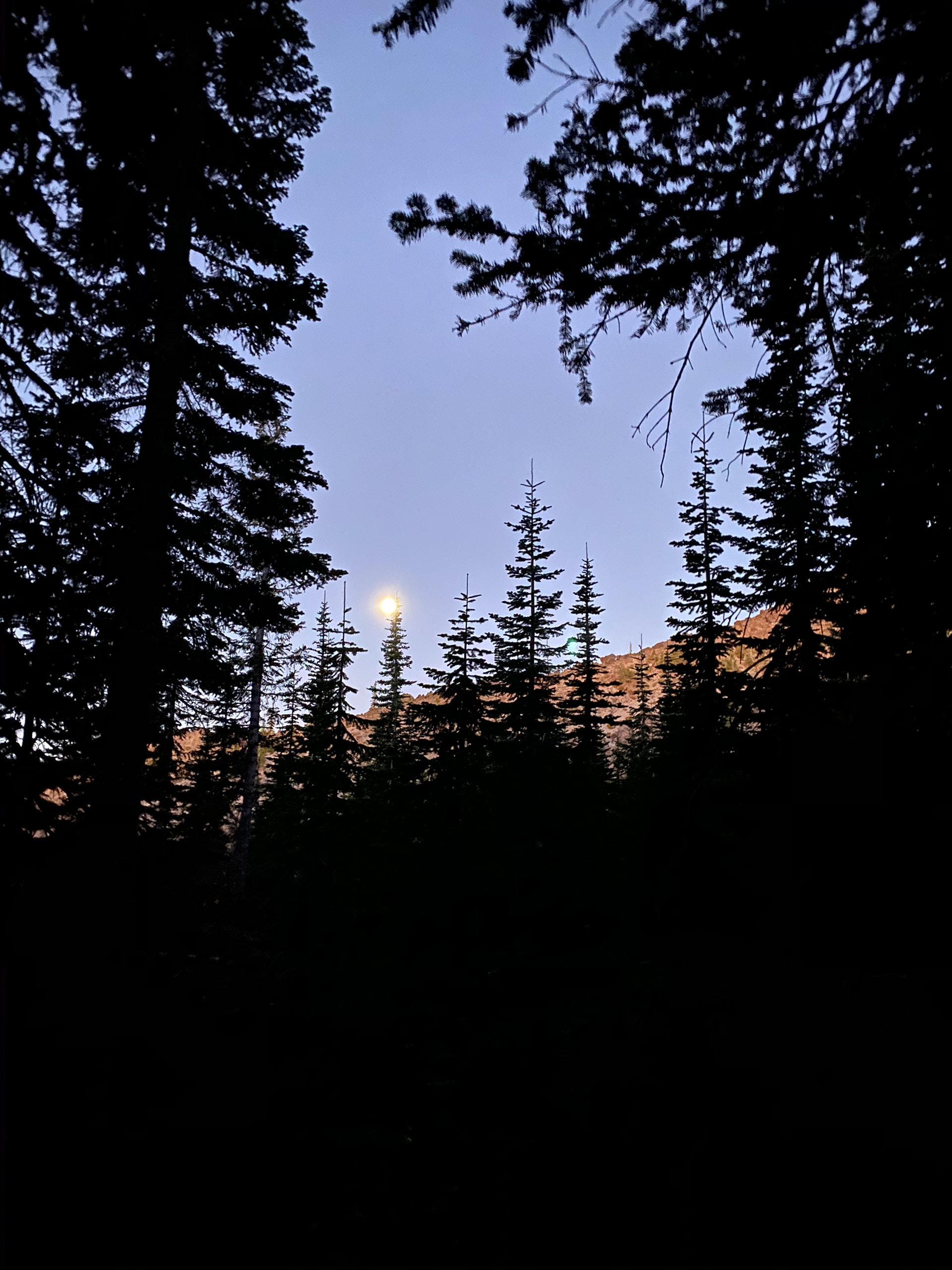
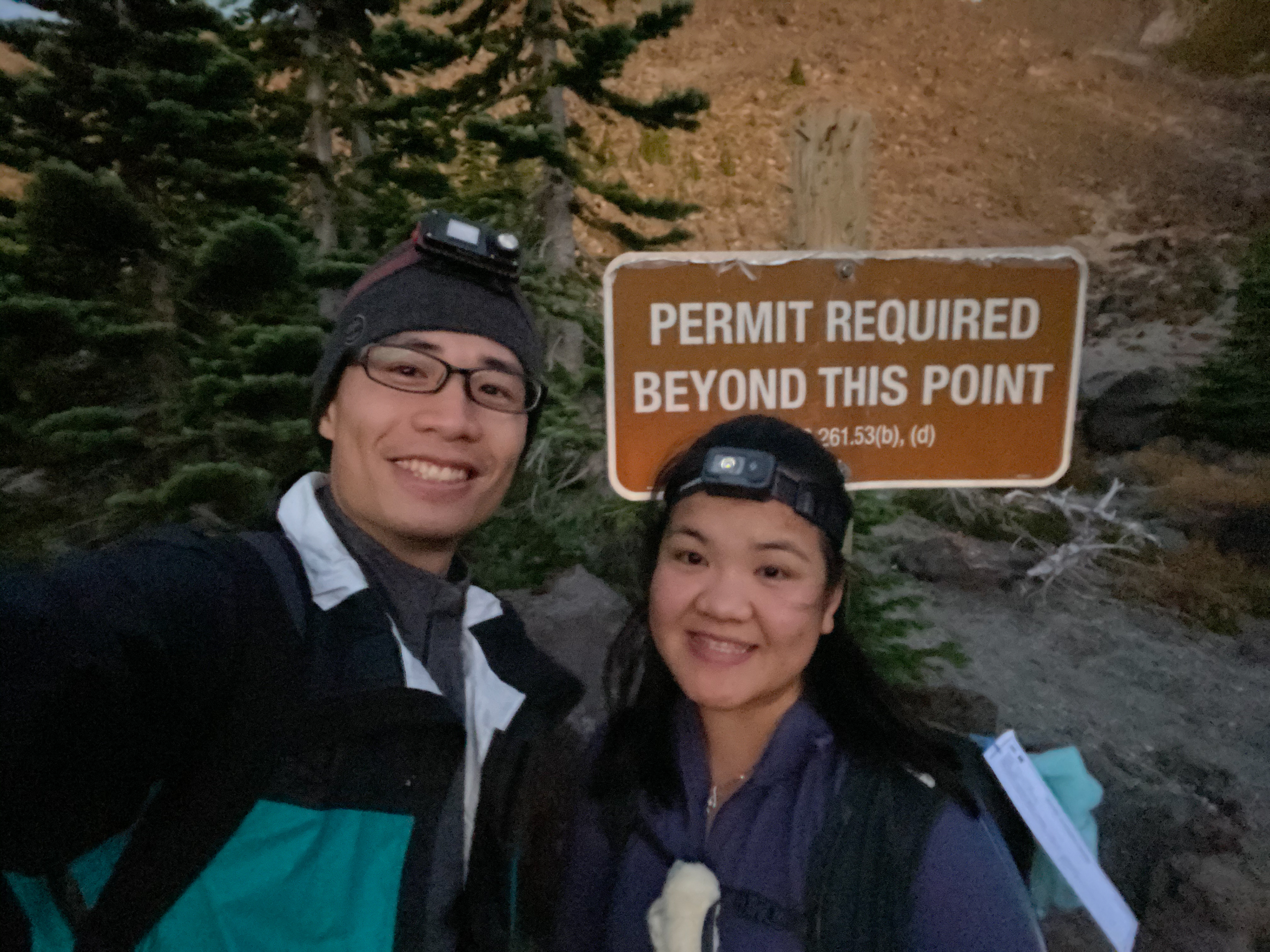
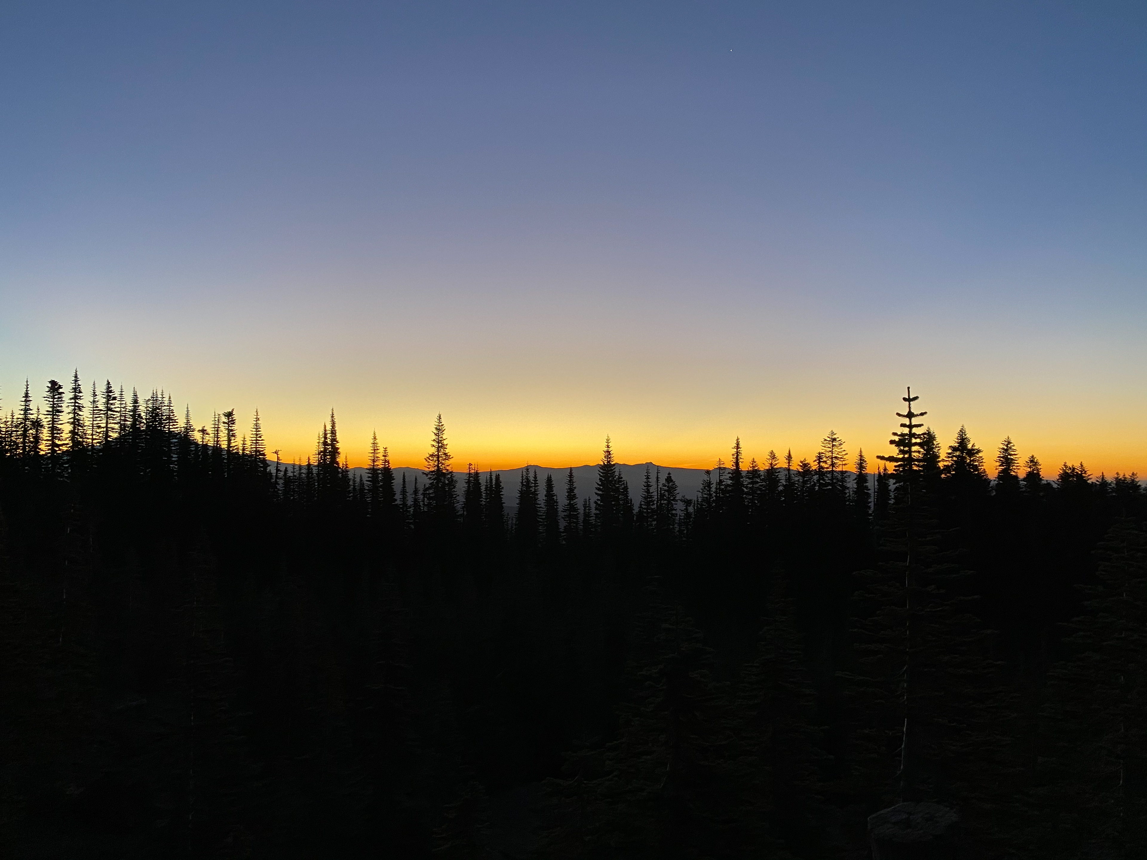

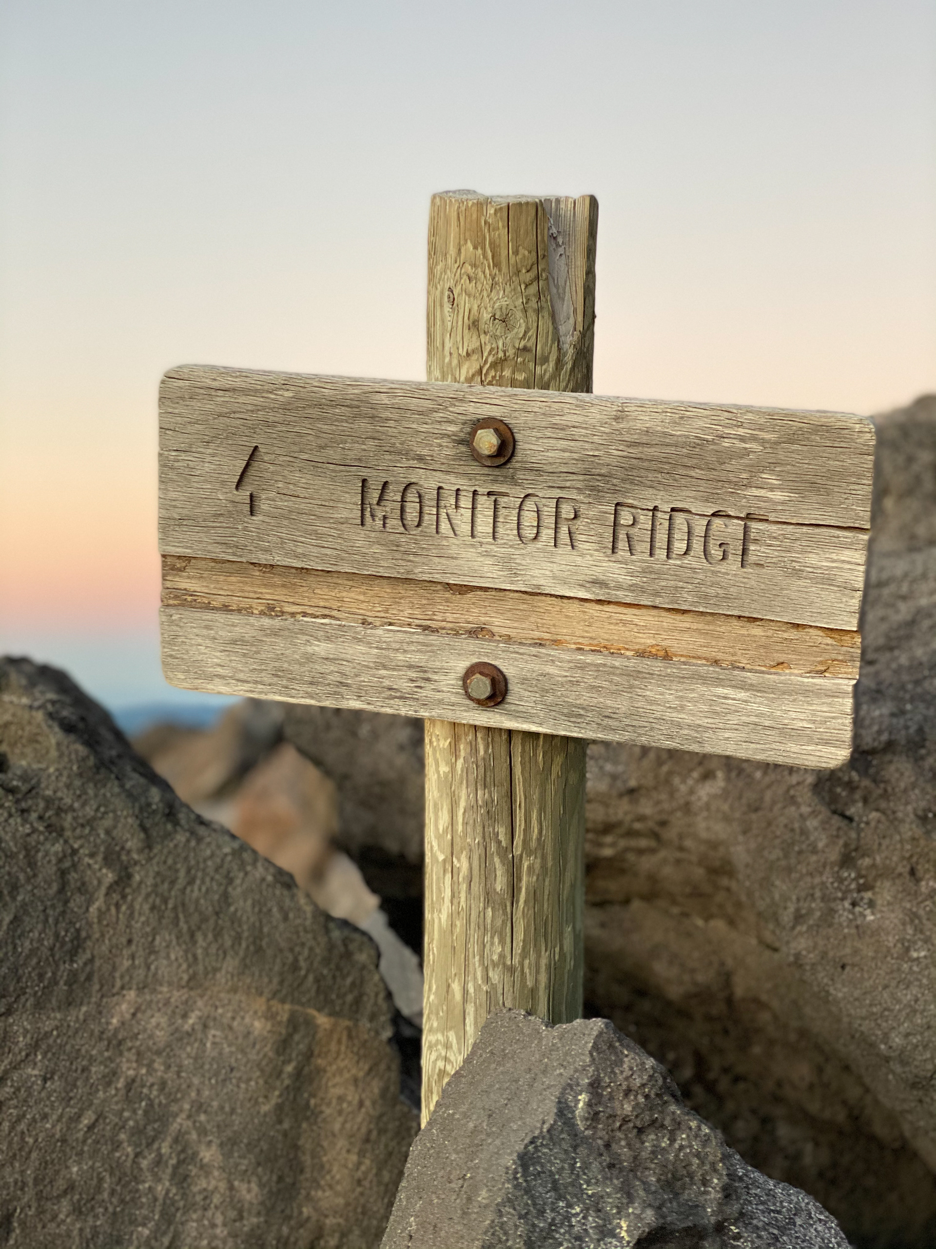


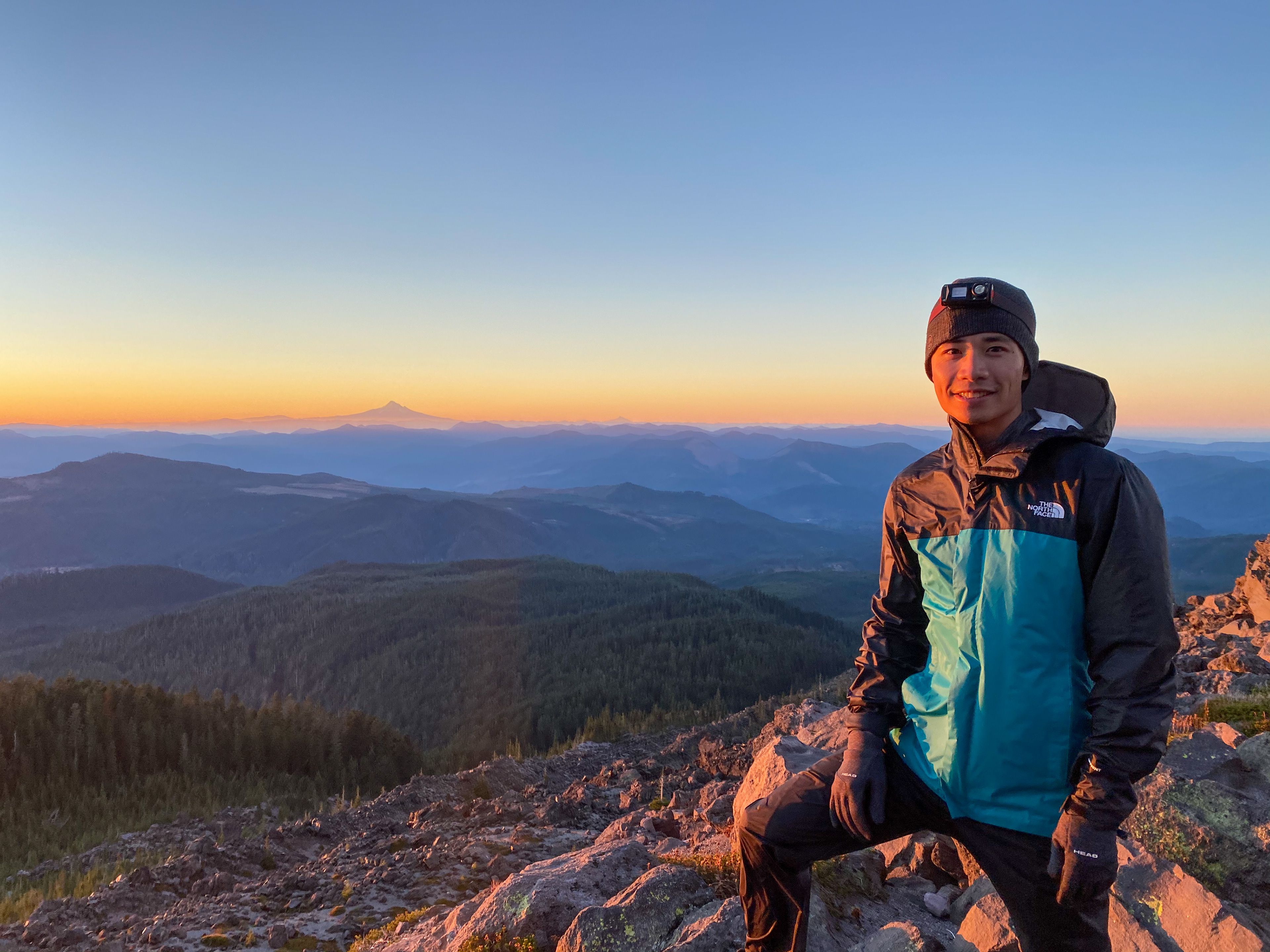

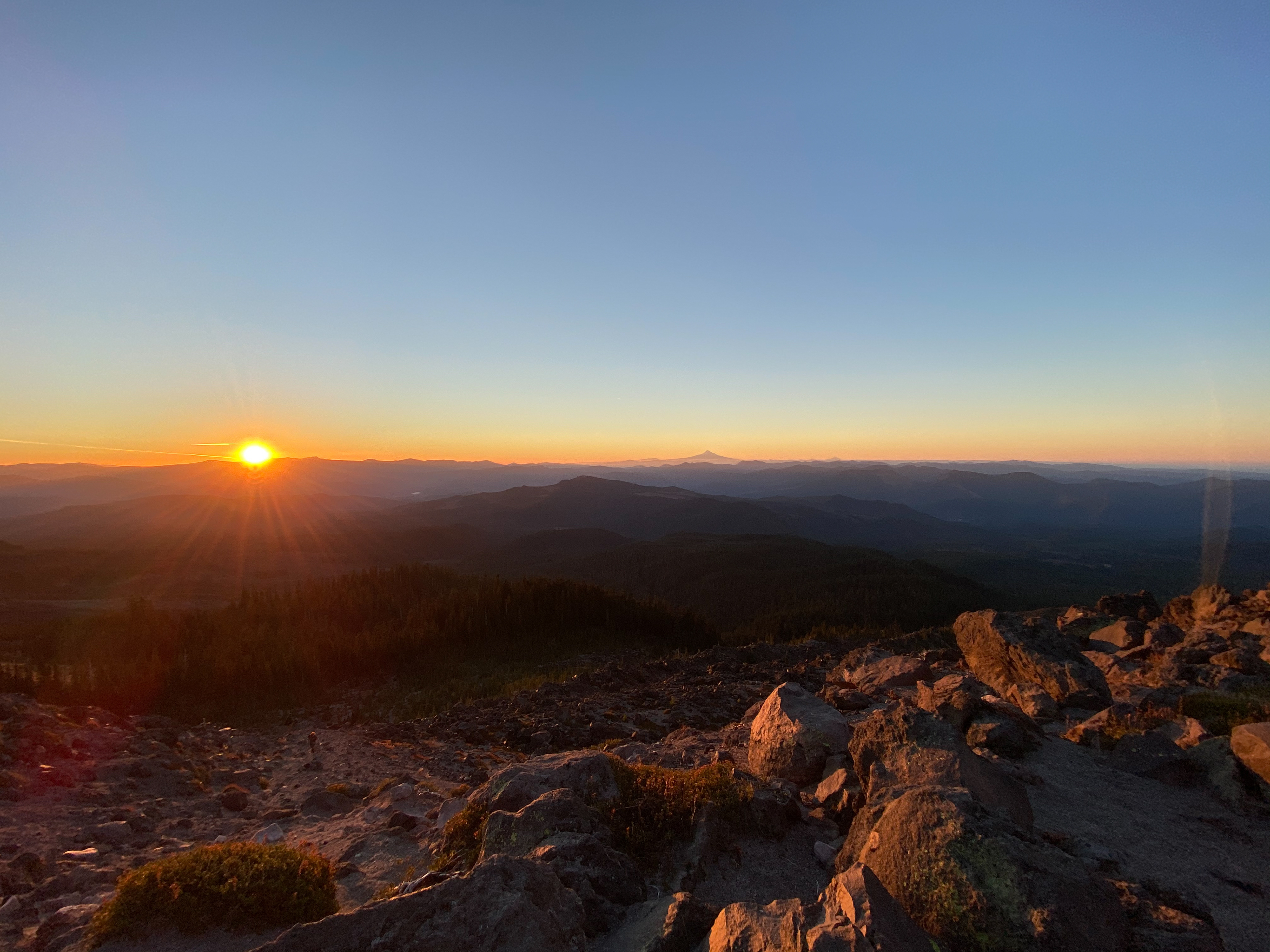
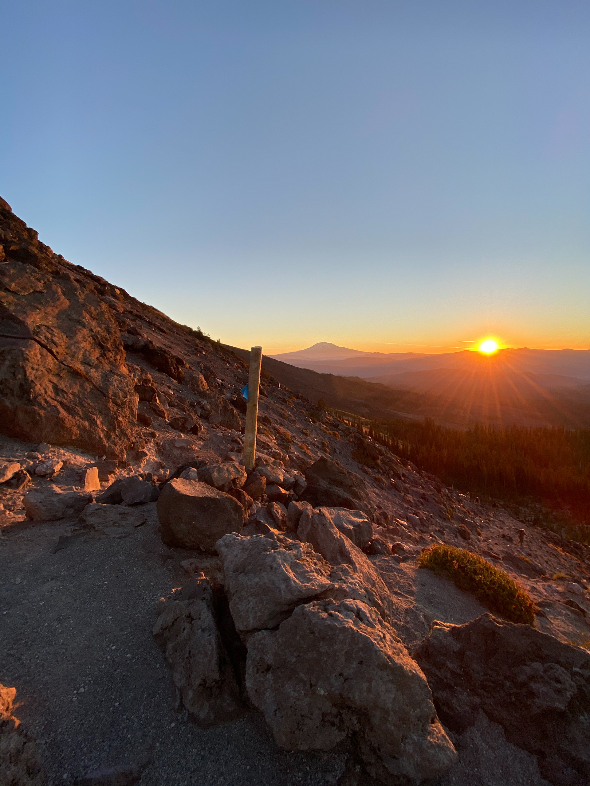
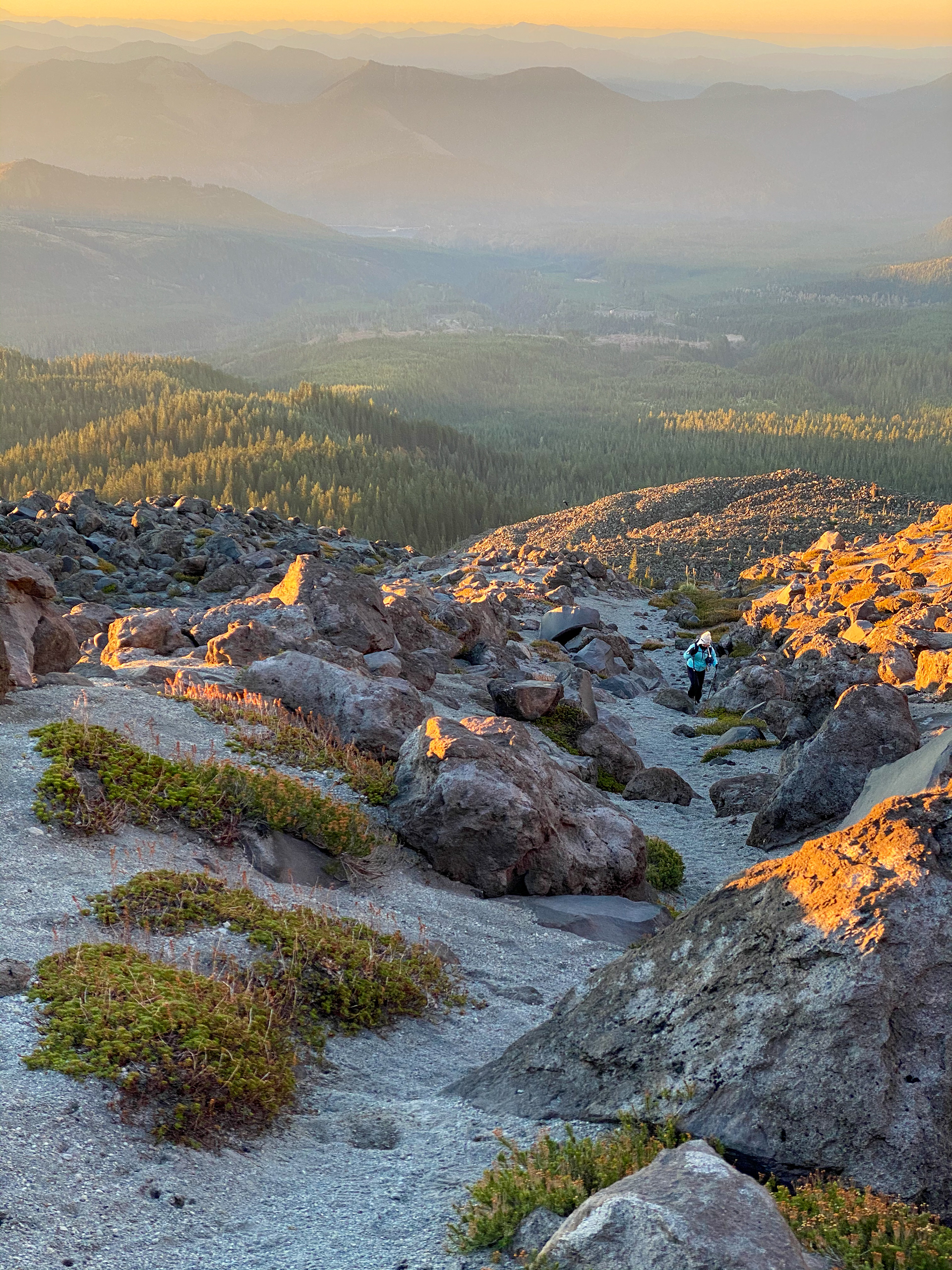
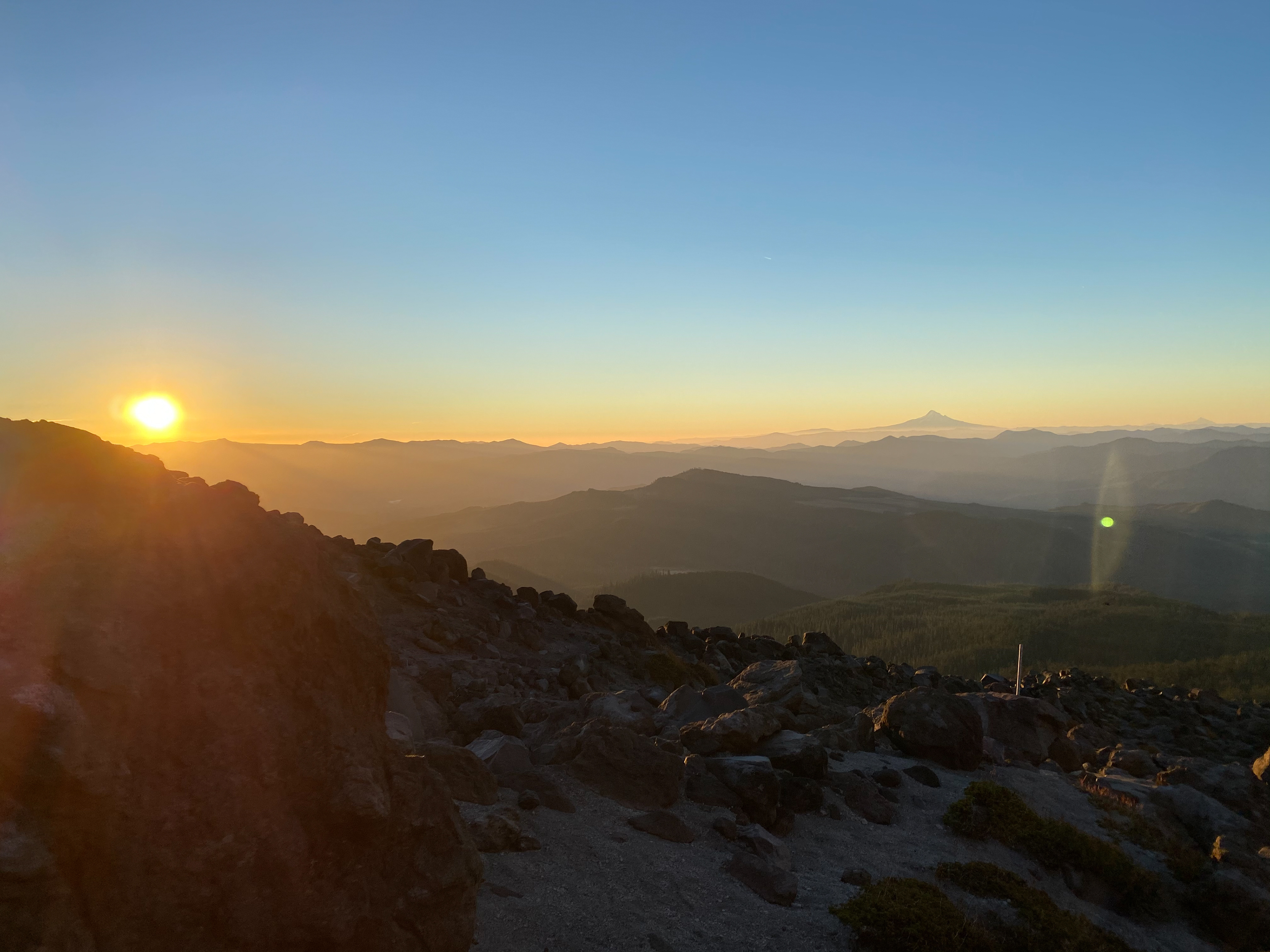
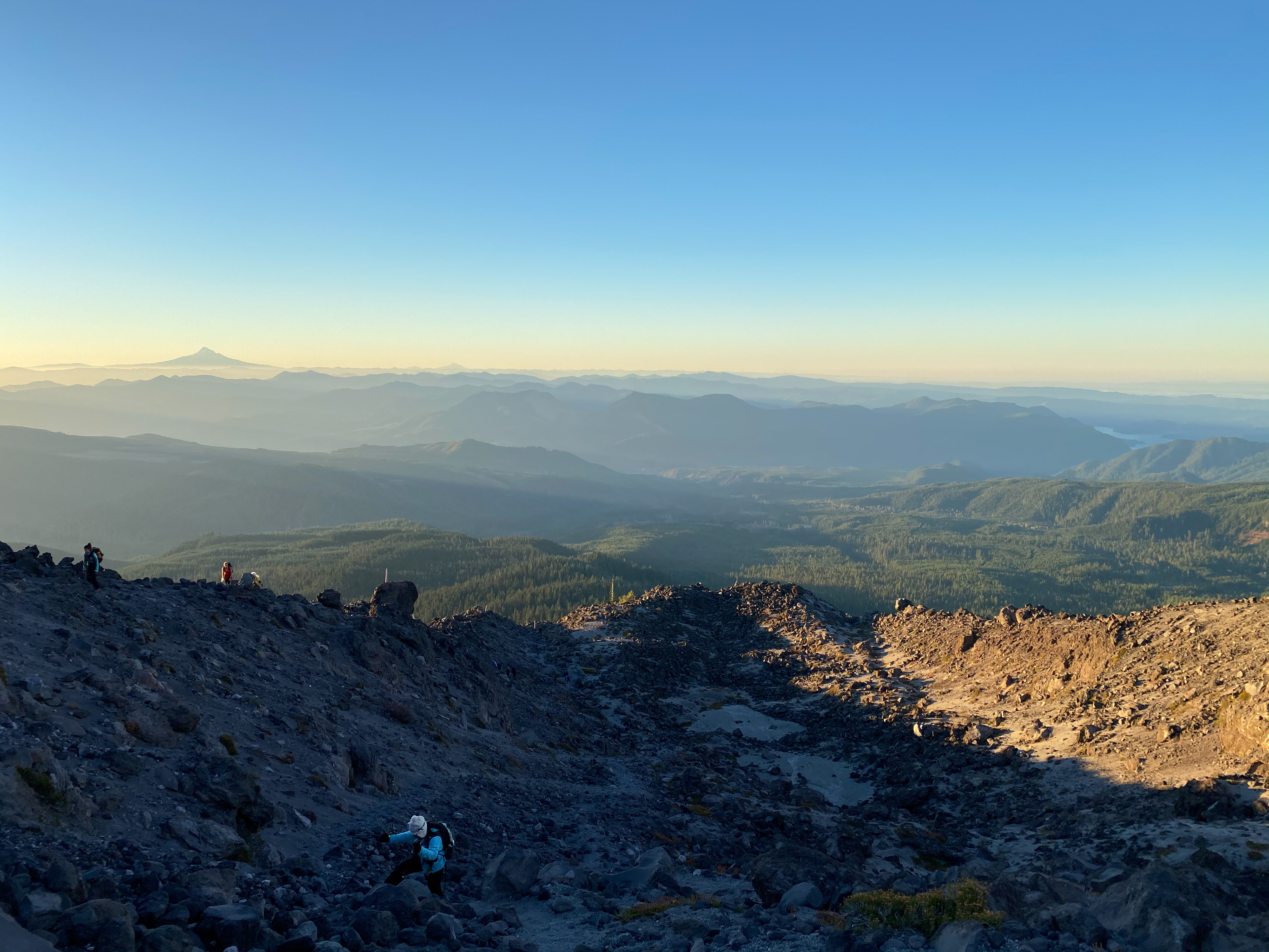
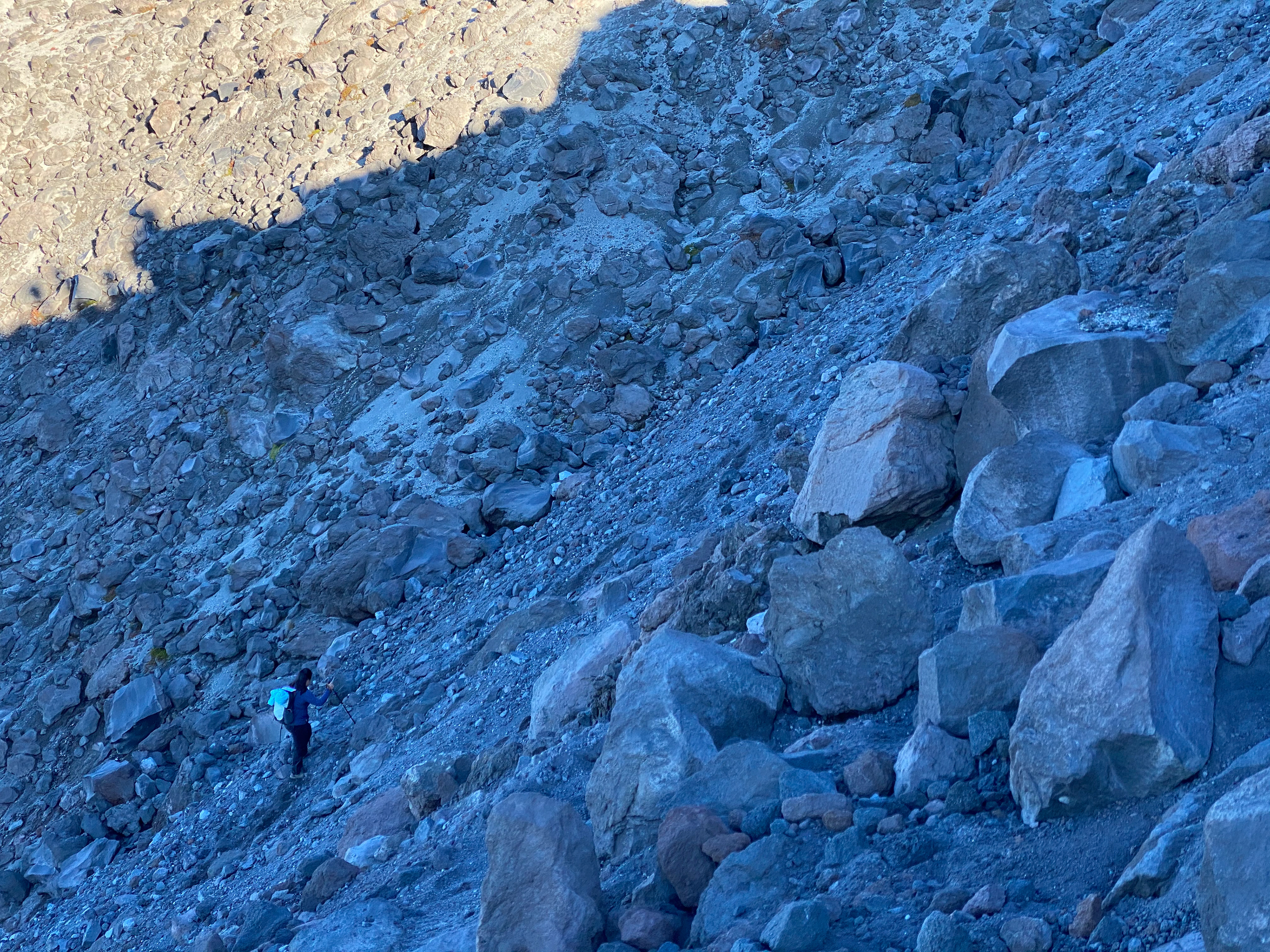
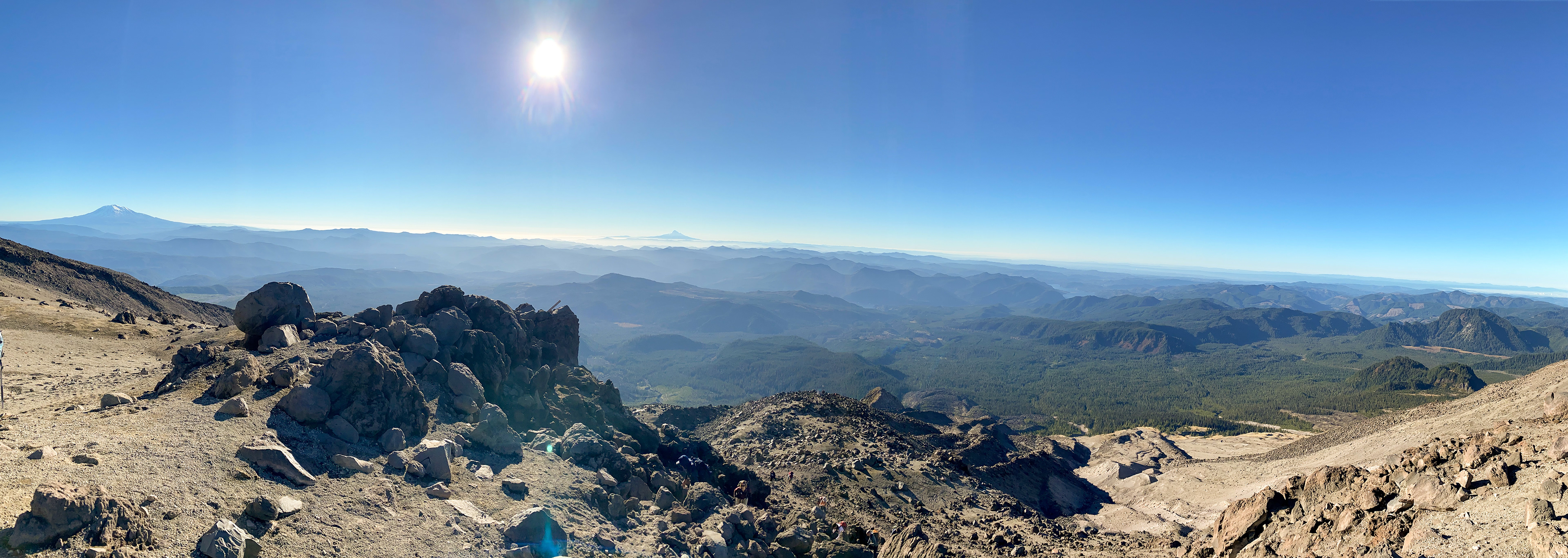
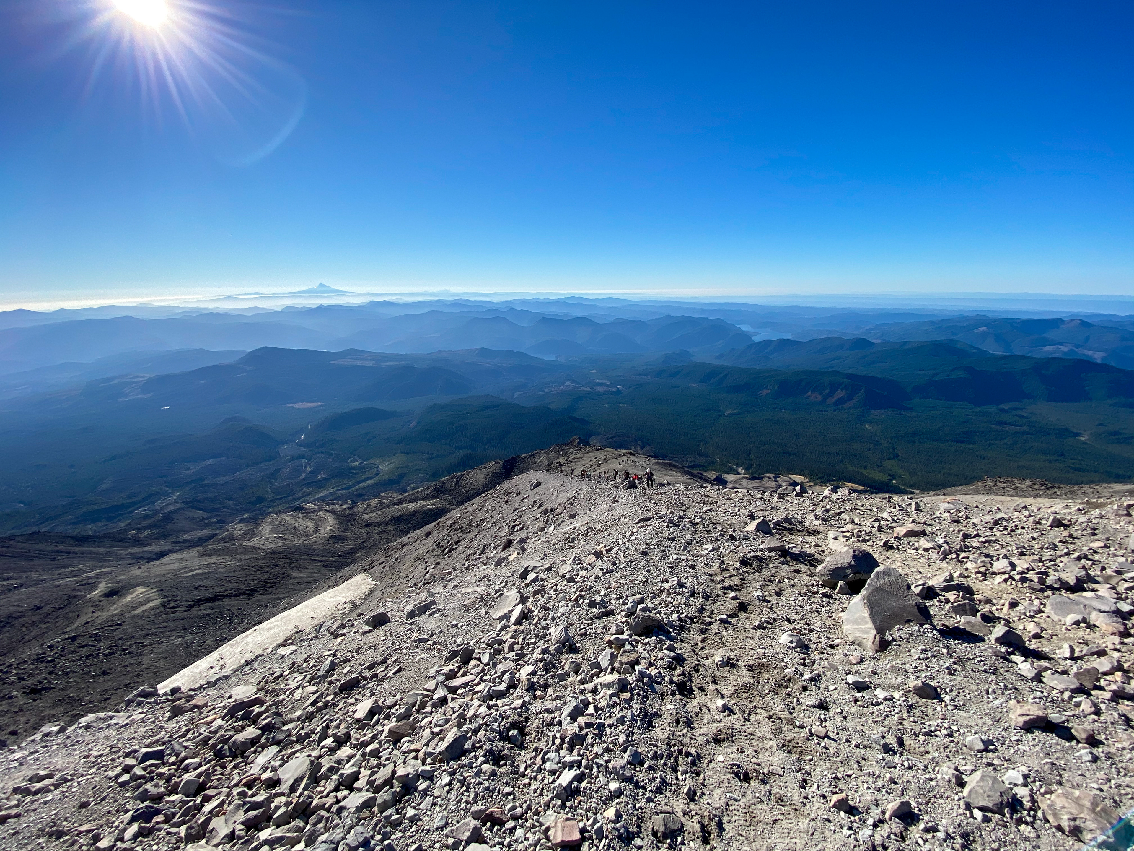
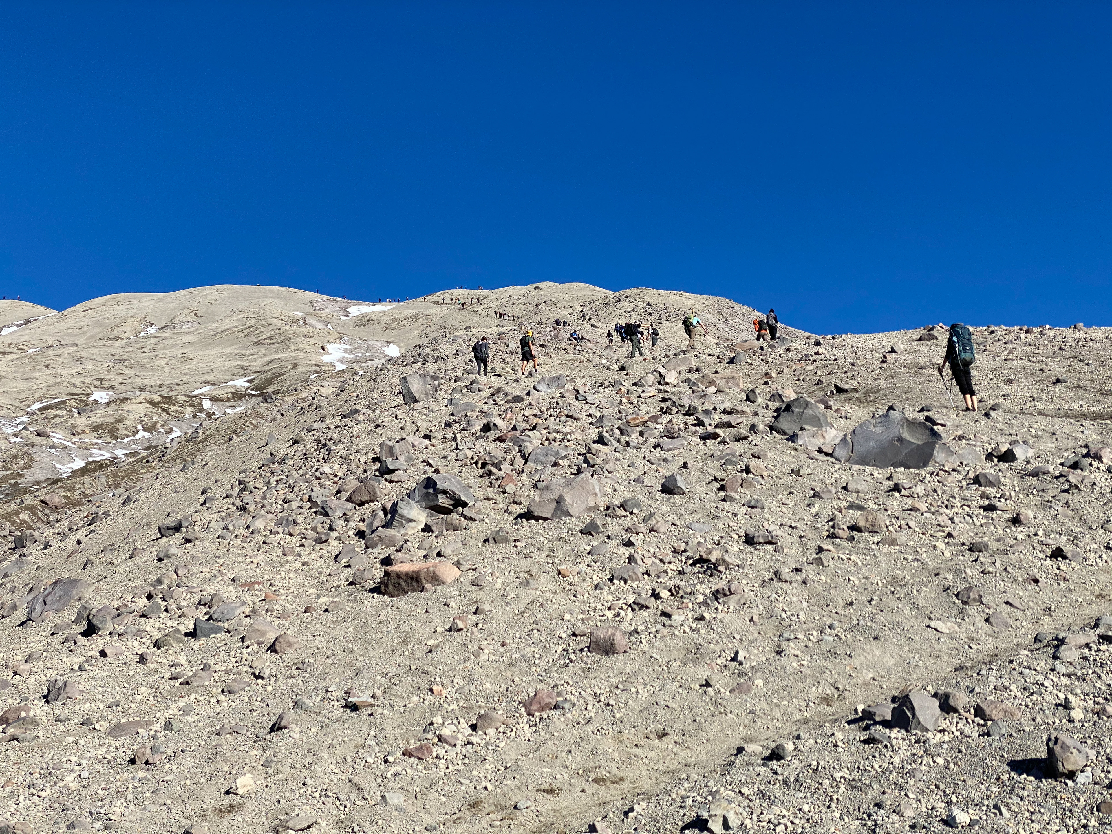
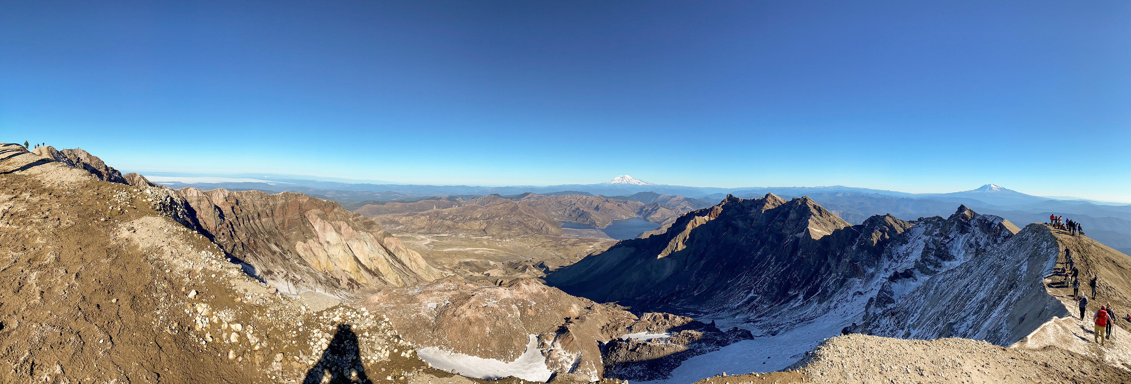
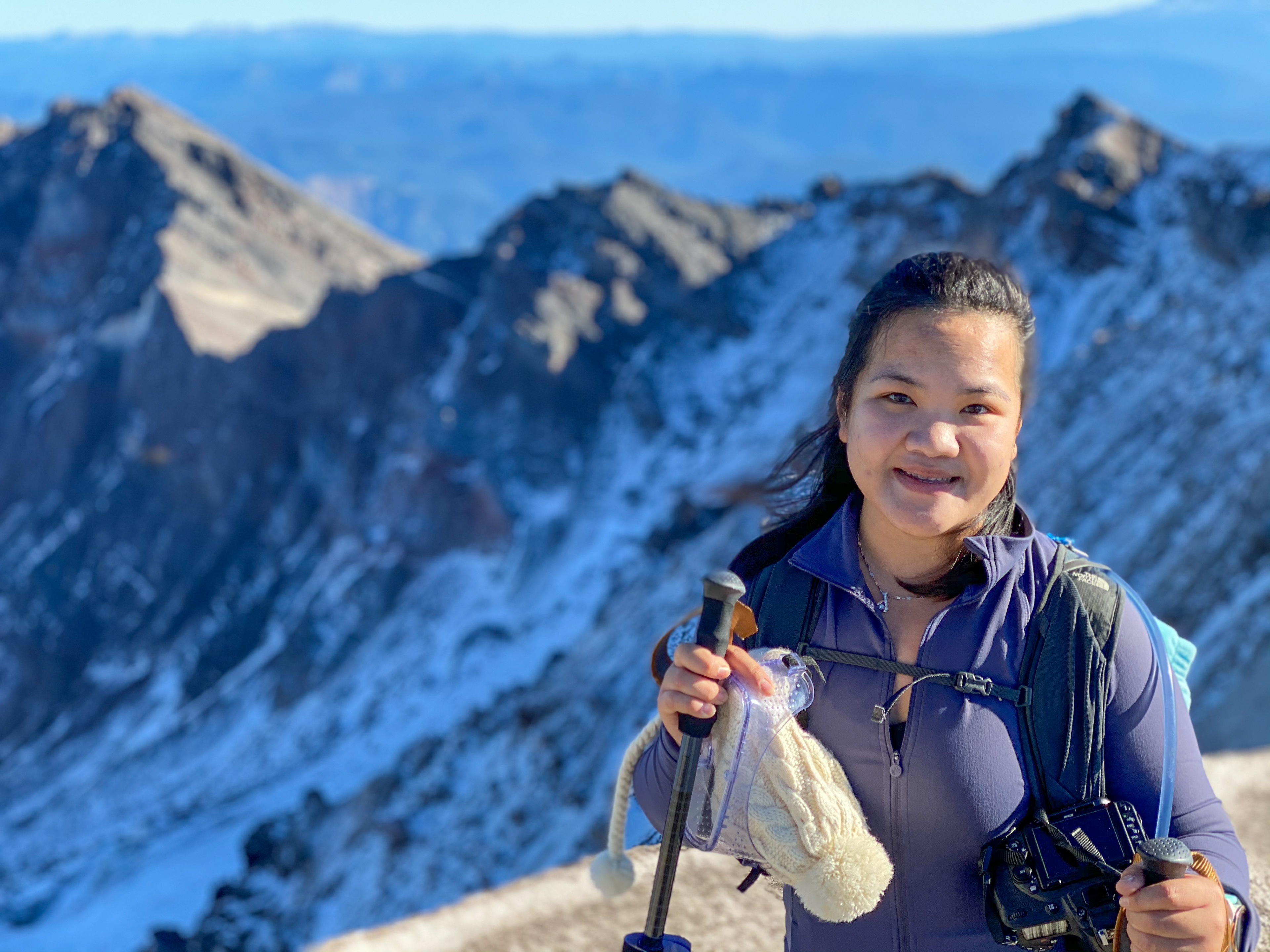

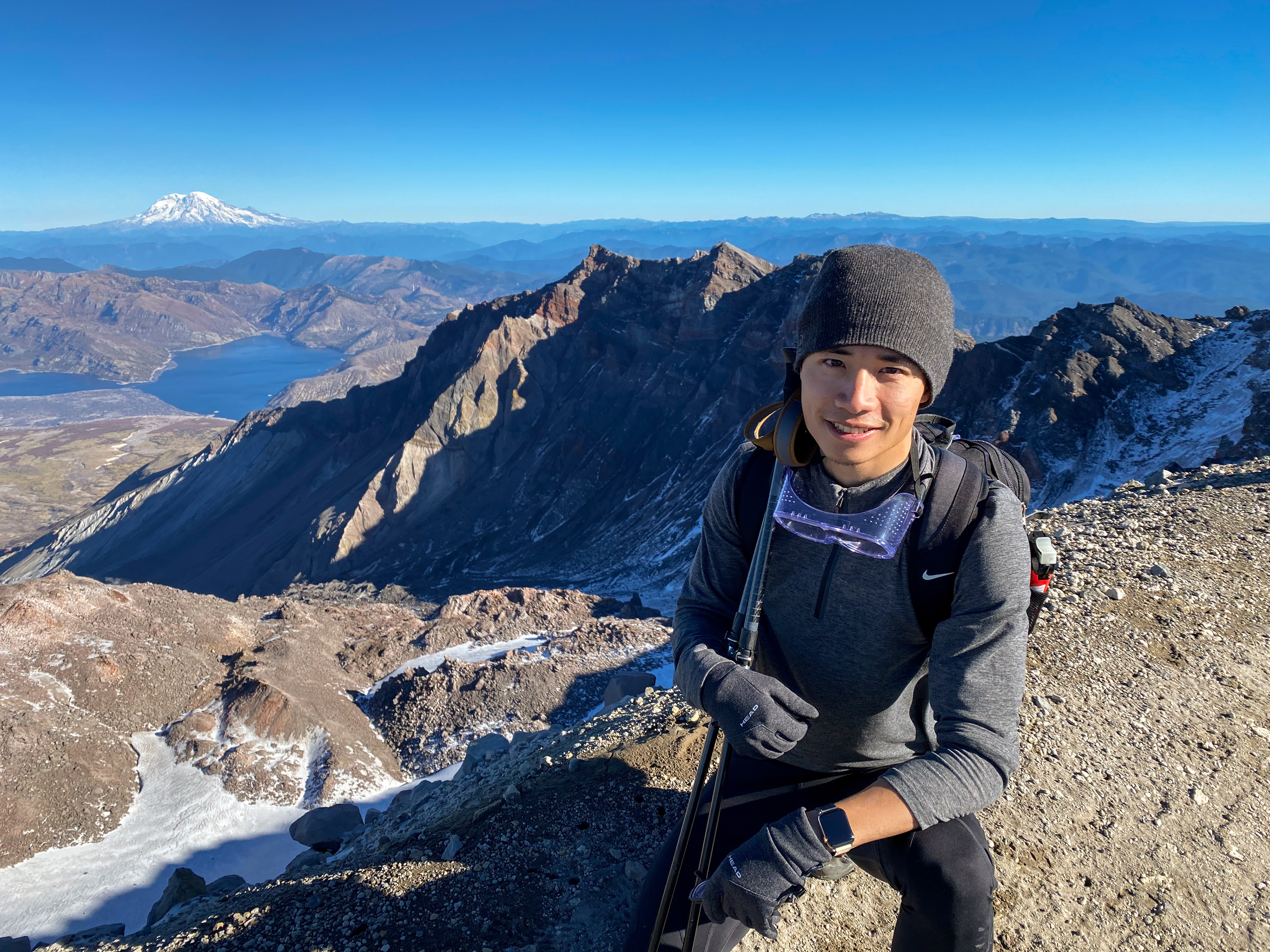
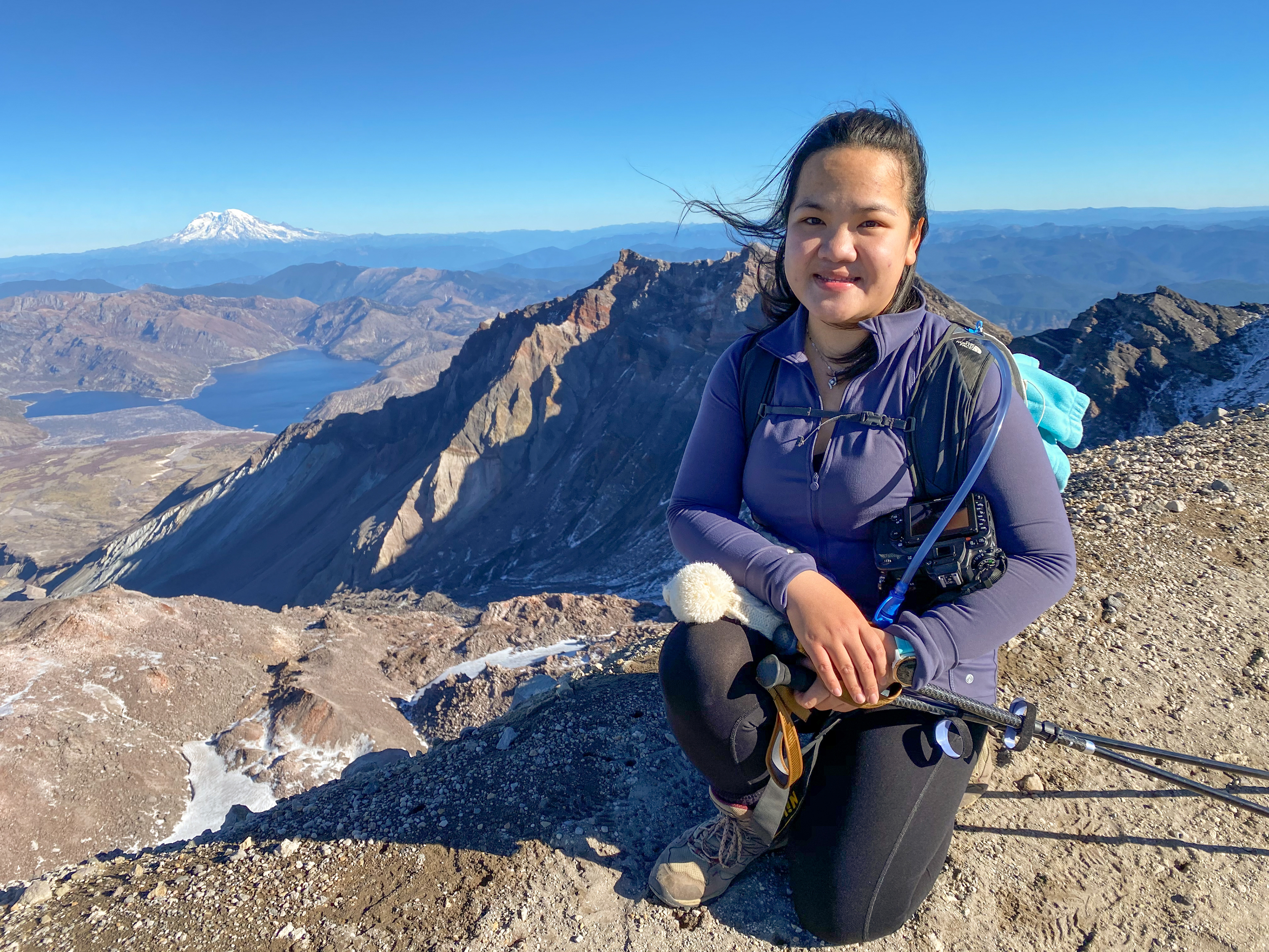
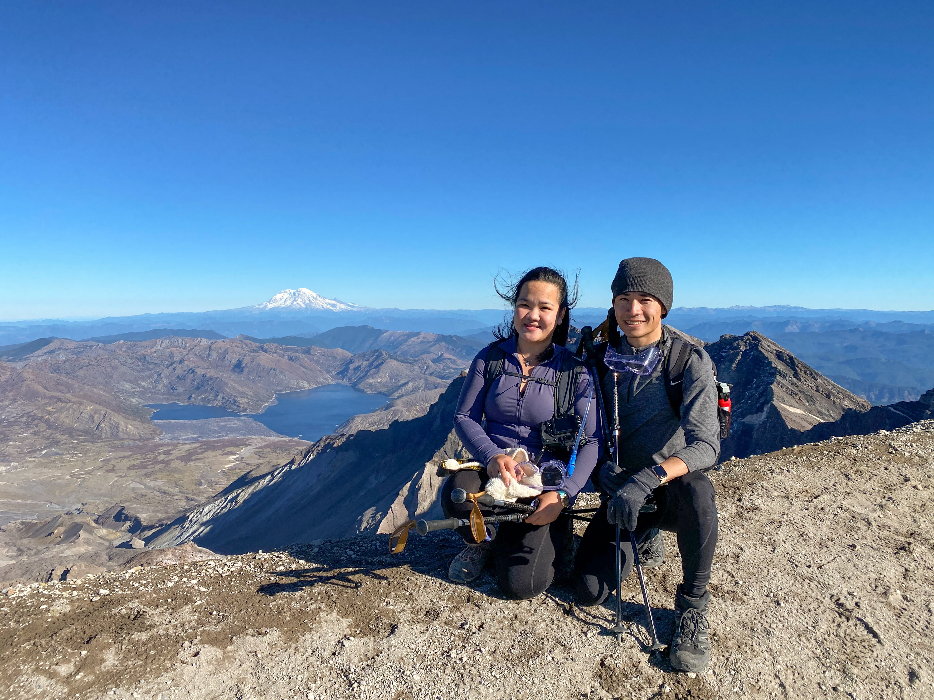
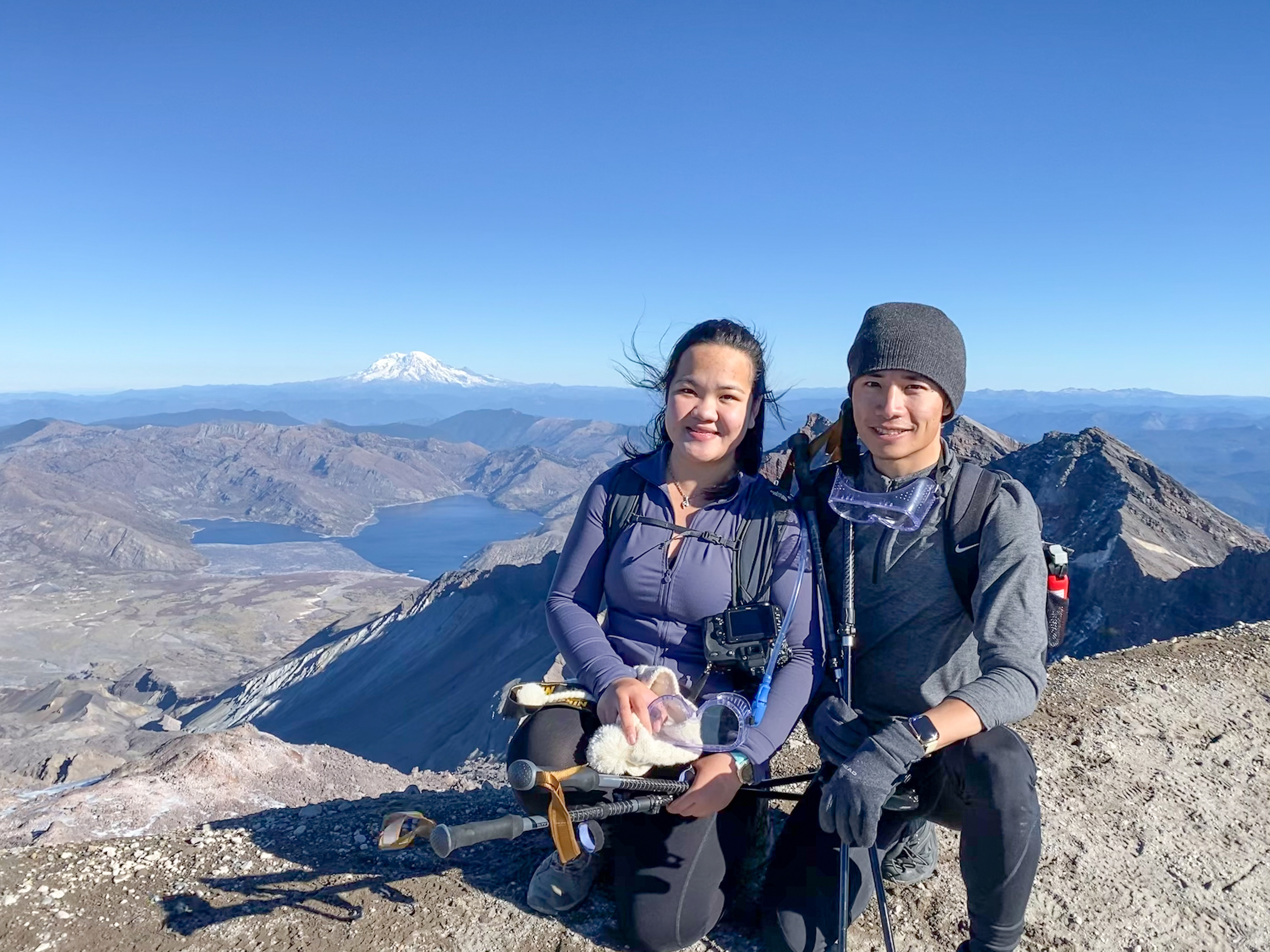
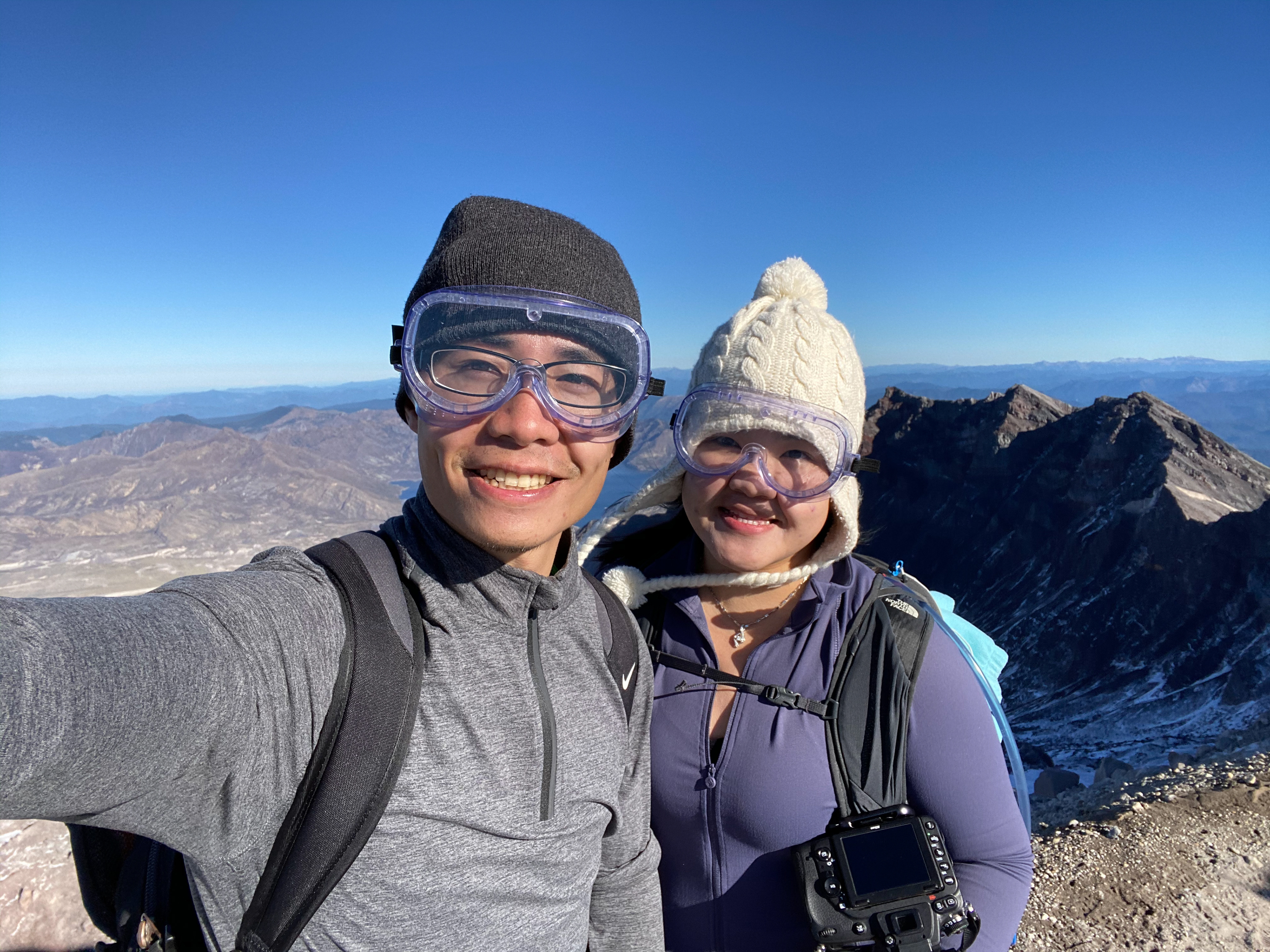
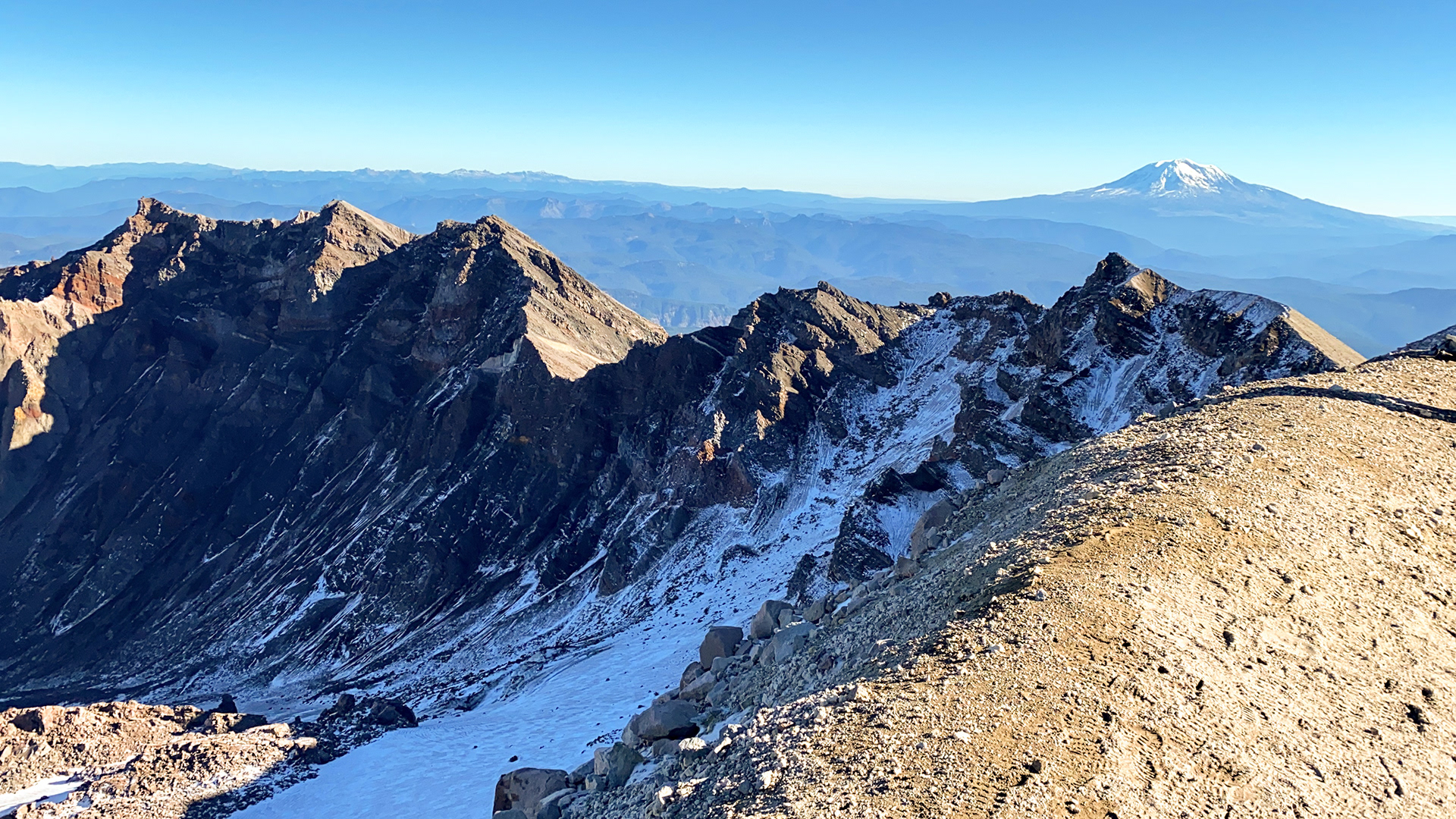


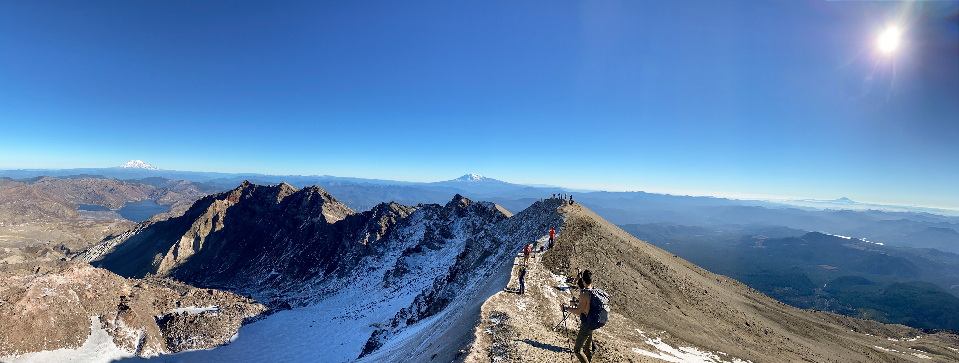

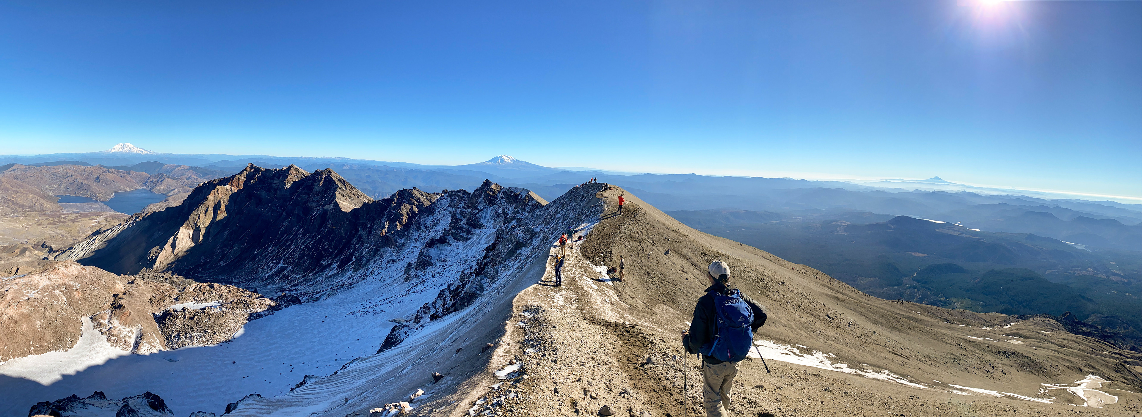
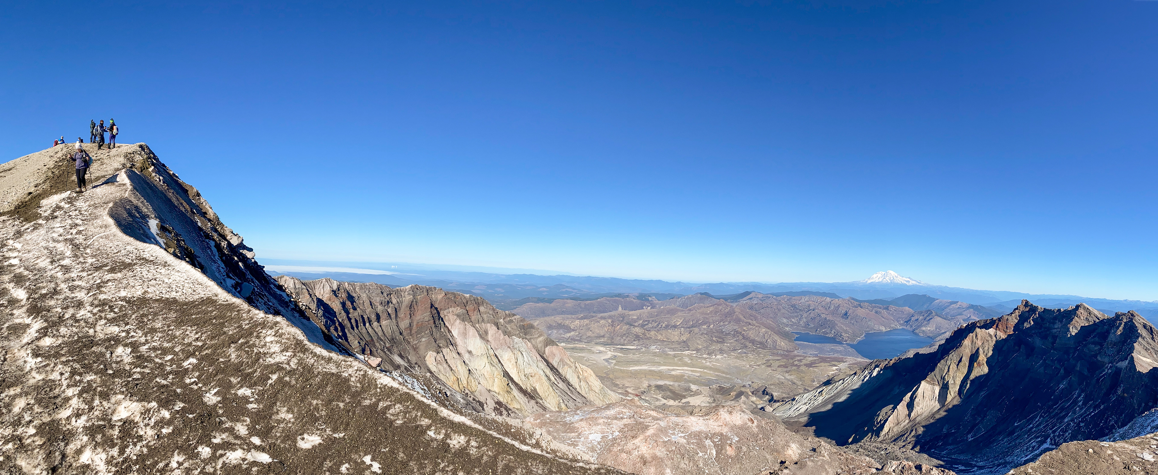
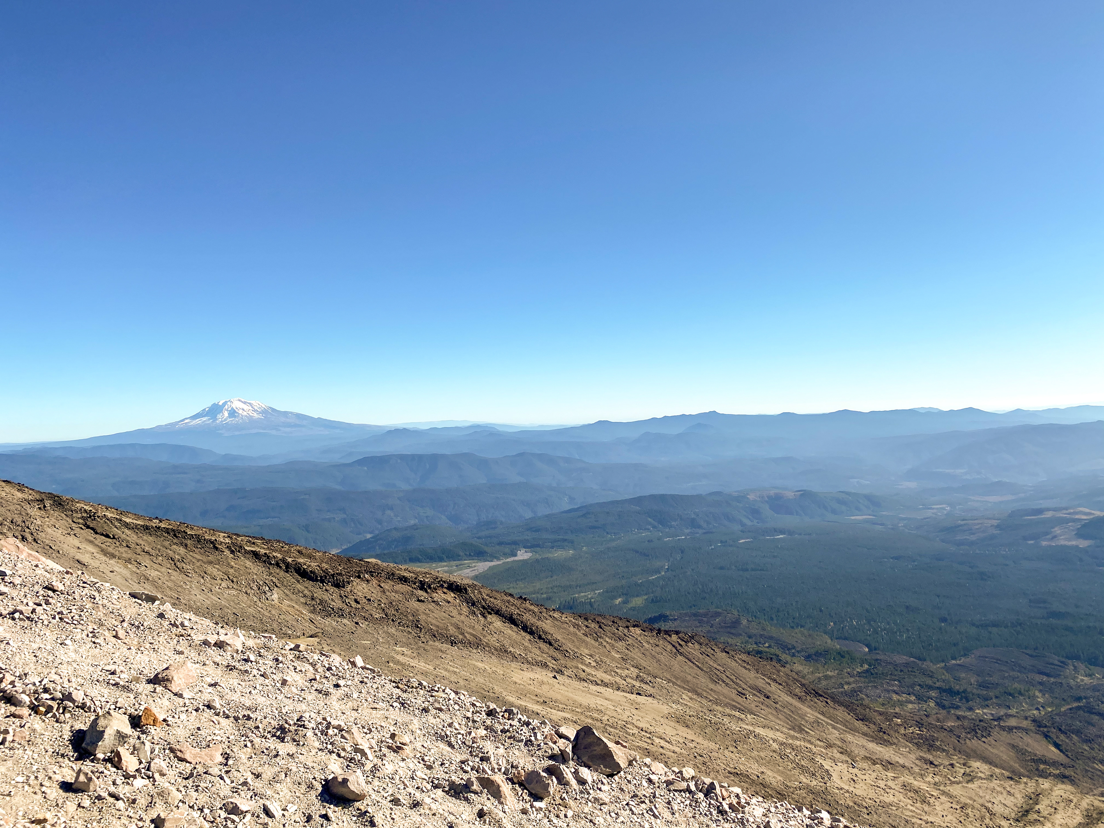
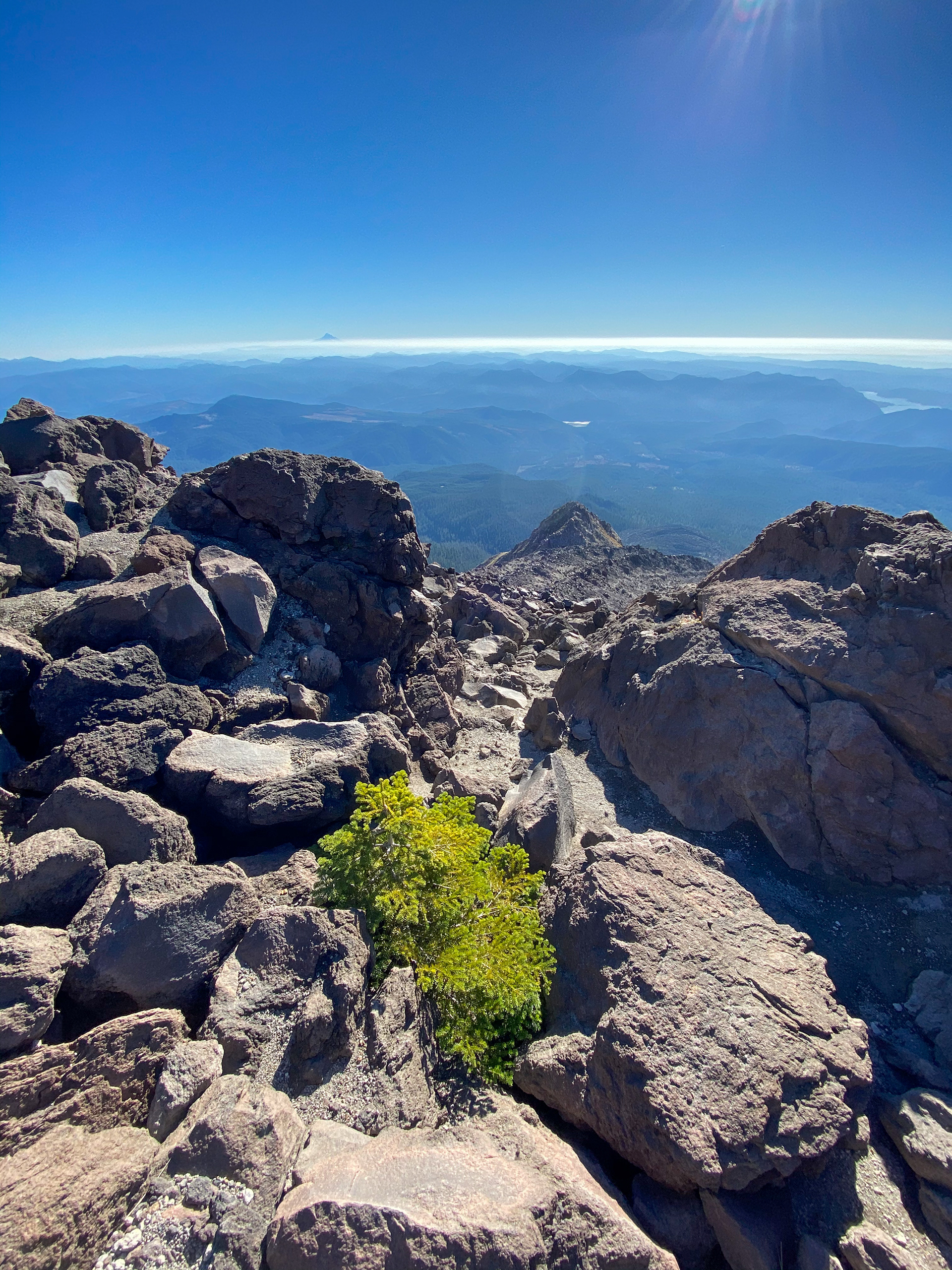


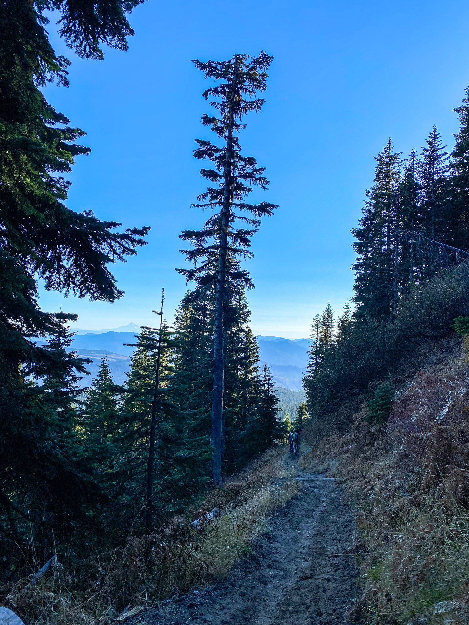
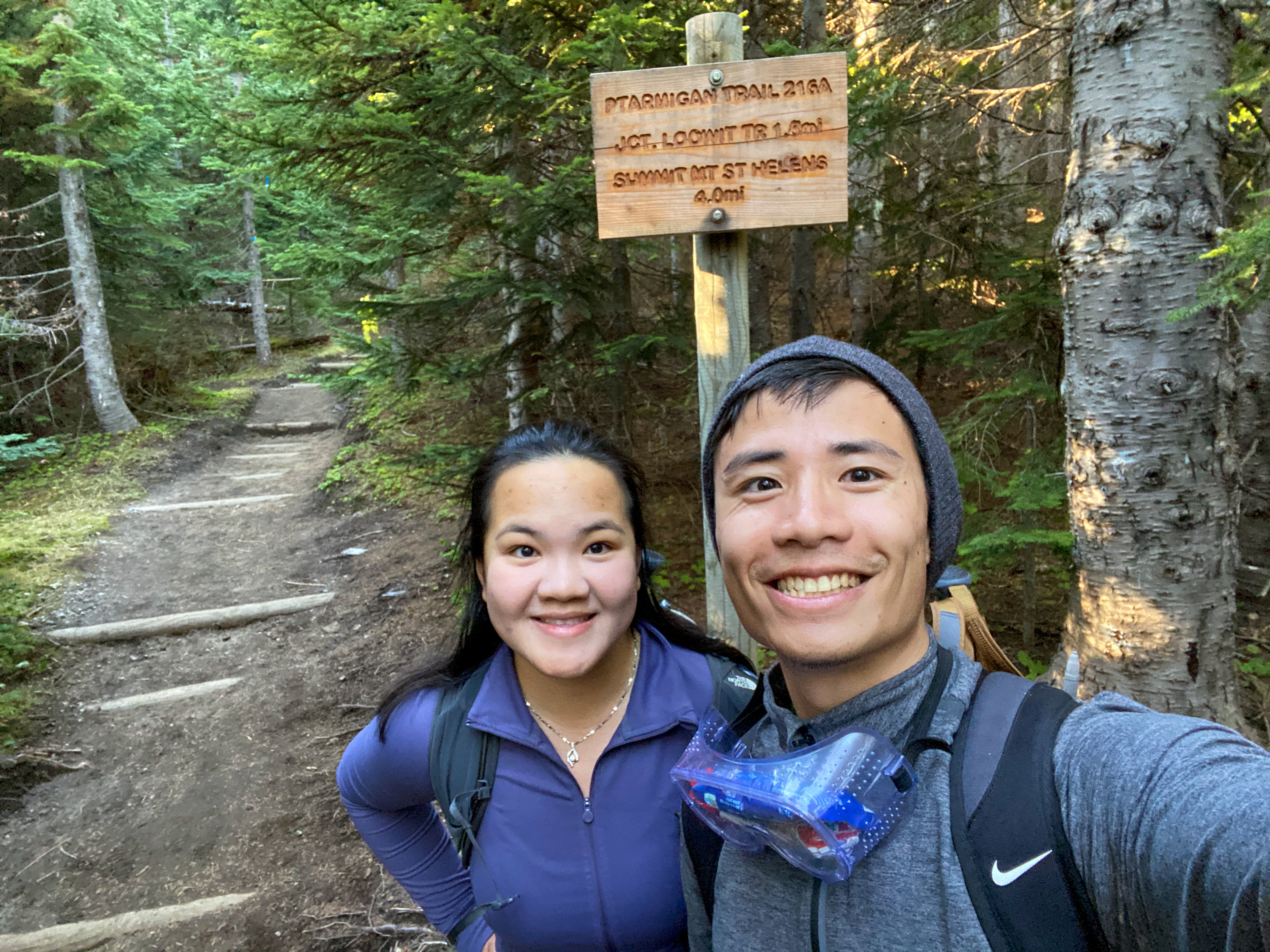
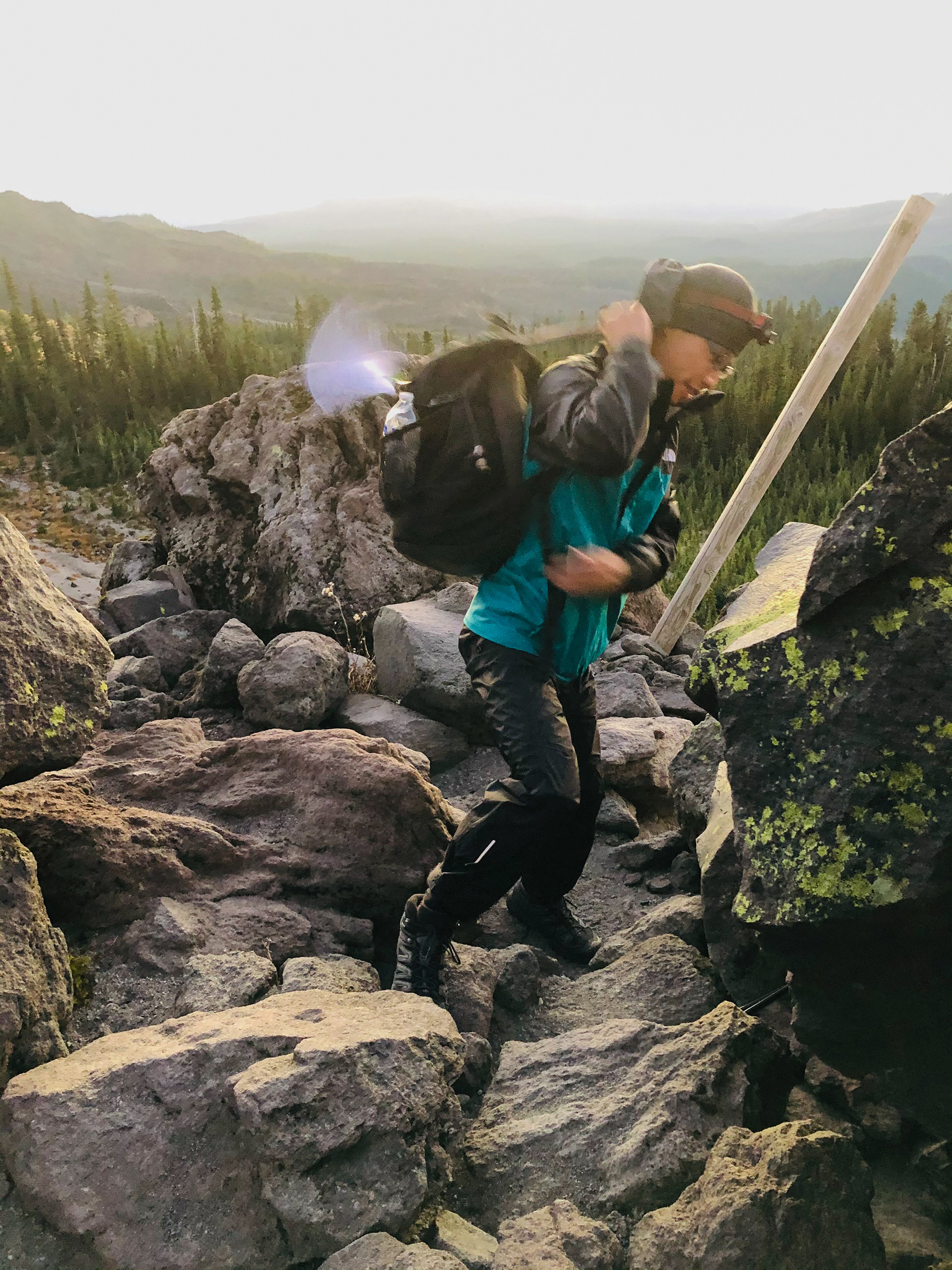
“Mount St. Helens' landscape appeared gray and lifeless, like parts of Earth's moon. Beginning in October 1980 and for six years thereafter, small explosions hurled volcanic ash a few hundred feet to several miles above the volcano. In this horizontal composition, the imposing and threatening form of the volcano looms ominously over a ruined landscape, as the maw of the caldera gapes open, seemingly hungry for more destruction. Contrastingly, in the foreground, a few pink/purple flowers bloom, defiantly struggling for life in the volcanic ash of the blast zone.” [4Feet]: The Climbers Bivouac Trailhead locates at an elevation of 3,700 feet in the south of Mount Saint Helens while the Johnston Ridge Observatory sits in the north directly facing the open crater. The shortest way to reach the unbroken side of the volcano from Johnston Ridge is to drive back to freeway I-5 and go for 11 miles southward before re-entering the Gifford Pinchot National Forest, which usually takes 2 hours and 30 minutes. As we arrived at the Climbers Bivouac campsite around 8 p.m., the parking lot was nearly full. Just like us, many of them were excited to not only catch a glimpse of its beauty but also climb to the top of this deadly volcano. By that time, we were exhausted and ready for rest; otherwise, it would be a fun idea to “trick or treat” each tent there for candies (10/31/2020). To catch the sunrise from Mount St. Helens, we started hiking around 4:50 in the morning. Four miles of the summit hike starts with an easy forest walk (Ptarmigan Trail) and later leads to a steep rocky climb (Monitor Ridge) all the way up. The Moon on Sunday brightly shined in the clear sky like a spotlight, which made the tree shadows seem darker than ever. Hiking in the dark is never considered ideal as we concerned wild animals may be on the move. However, the first permit-free day brought heavy human traffics to the trail, we did not think that cougars would even dare to make a sound. As we almost reached the end of the Ptarmigan Trail, the night-blue faded, and the stars were quite gone. The night woke to blush; the dawn blazed in gold and quenched in purple. In less than 15 minutes, the Sun leaped like a leopard to the sky. Our ascent along the Monitor Ridge after passing Monitor Peak (5,994’) was quite familiar, especially for the first mile (please refer to the 1st Summit Attempt). Instead of climbing the rocky surface on top of the ridge and making holes on our pants, we hiked on the ashy but relatively flatter trail slightly down to the left. Undeniably, the next 2,500 vertical feet becomes much more a scramble than a hike. The wind seemed not a part of the course today, and most of the ashes remained asleep on the ground. The sky was as blue as it could get; the temperature rose quickly as the Sun was no longer bashful about showing its warmth and true color. Eventually, as the slope angle of the ridge increased to a degree that volcanic ashes and micro rocks underfoot started to slip us down, we climbed back to the rocky trail to proceed with our summitting. A GPS station appeared at 7,000’ revealing a snake of boulders up the ridge. The last stretch of the ascent will prove to be the toughest. Time and time again, it is described by climbers as “two steps forward, one step back” due to the loose footing. Fortunately, in the absence of snow and ice, the terrain flank was quite climbable if using proper techniques with trekking poles. It took us around 5.5 hours to reach the summit 8,366' (from Climbers Bivouac). On reaching the summit the view of the crater was enchanting. The mountain rocks surrounding the crater were coated with ice reflecting unique colors. Steam was venting out from the growing lava dome in the center of the Crater Glacier. It looked as if we were on Mars. The edge of the crater is dangerously narrow with an abrupt drop-off on both sides. Despite strong wind knocking us down the views were worth the struggles. We spent roughly 30 minutes on the summit watching the stunning view of three giants on the Cascade Range - Mount Adams, Mount Rainier, and Mount Hood in far vicinity. Photographs do not do justice to the enchantingly magnificent panorama of the crater and the surrounding mountains. We started climbing down before 11 a.m. and encountered a significant number of hikers who started late. Approximately more than 500 hikers came to climb Mount Saint Helens on the first permit-free day. Hikers no longer need to worry to get harassed by rangers; plus, nice weather with a peaceful mountain condition cannot be more desirable in winter. In the end, it has been a satisfying weekend for us by having a decent day hike on Saturday and the summit attempt on Sunday in Mount Saint Helens National Volcanic Monument. For the rest of 2020, we may move on to Mt. Baker in Washington, Mt. Hood in Oregon, and canyons in Utah. However, we will surely be back to steal a glance at her beauty and charm when she puts on her wedding gown. 11/1/2020


