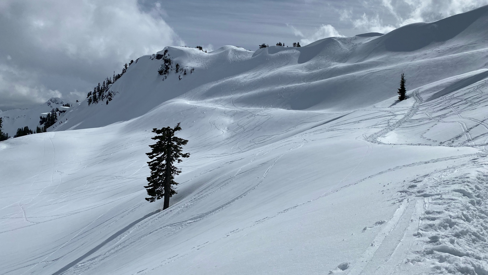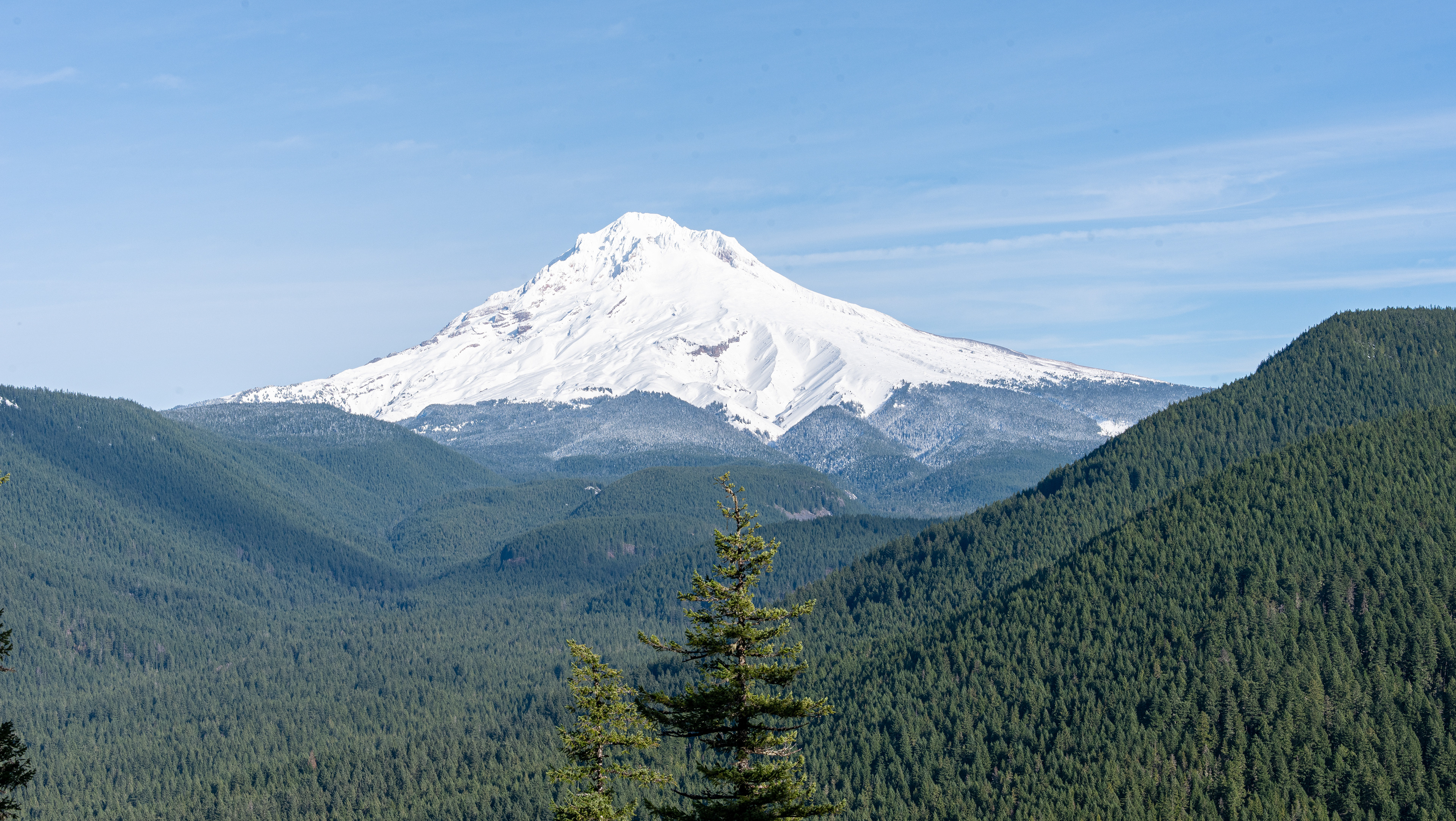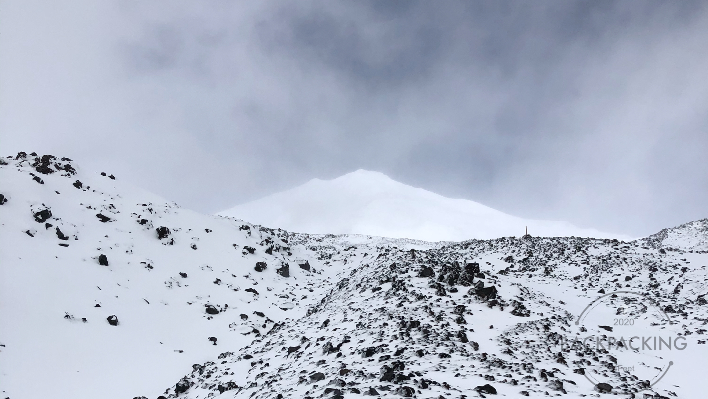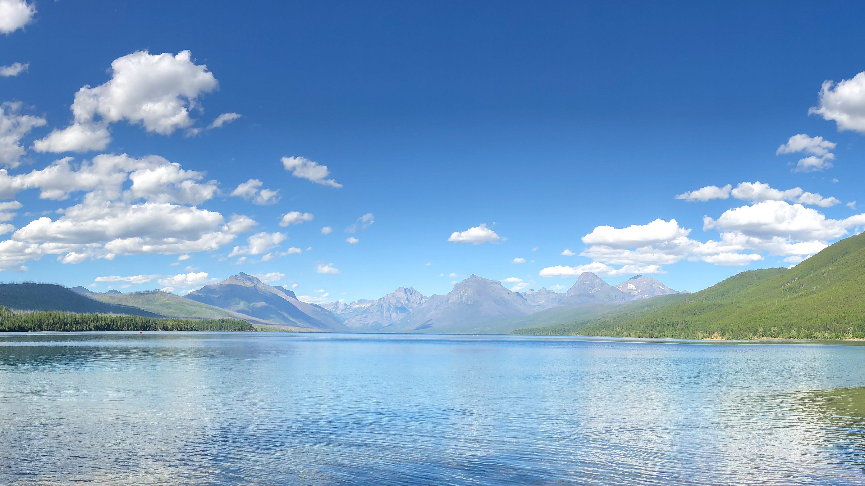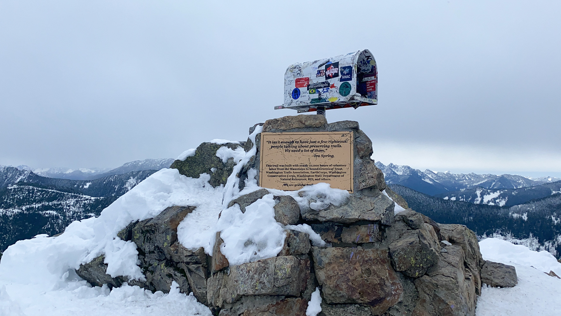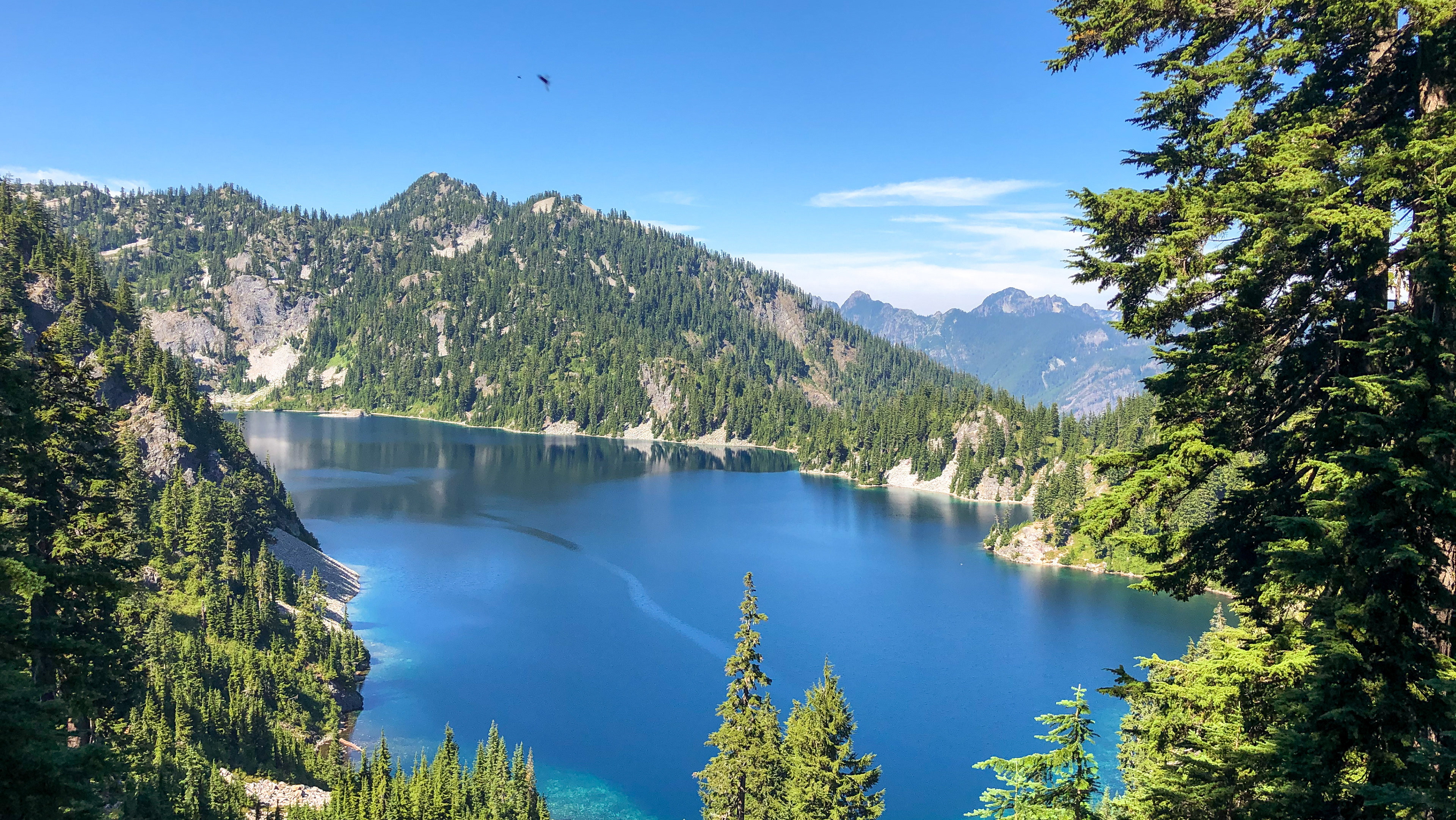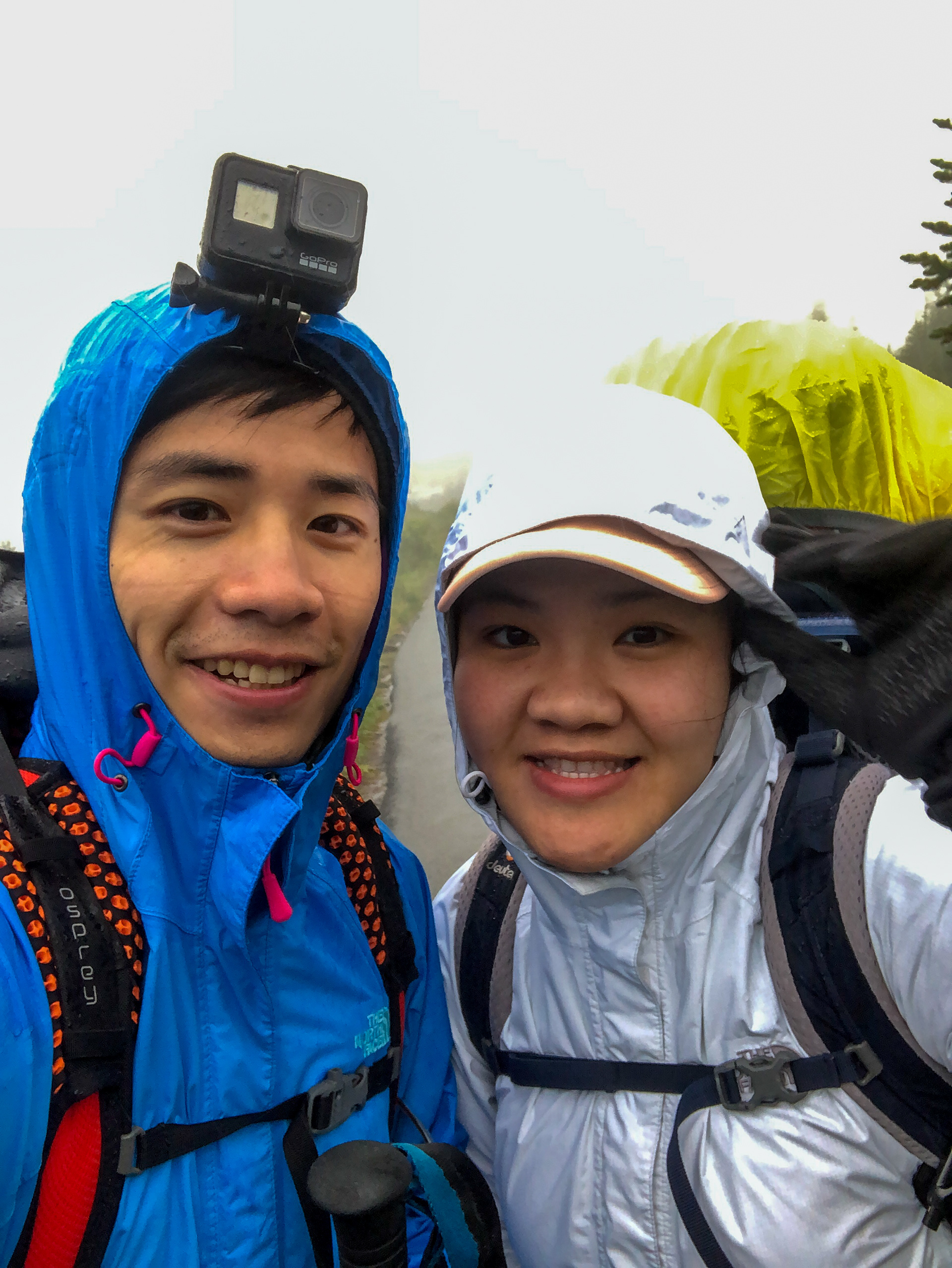
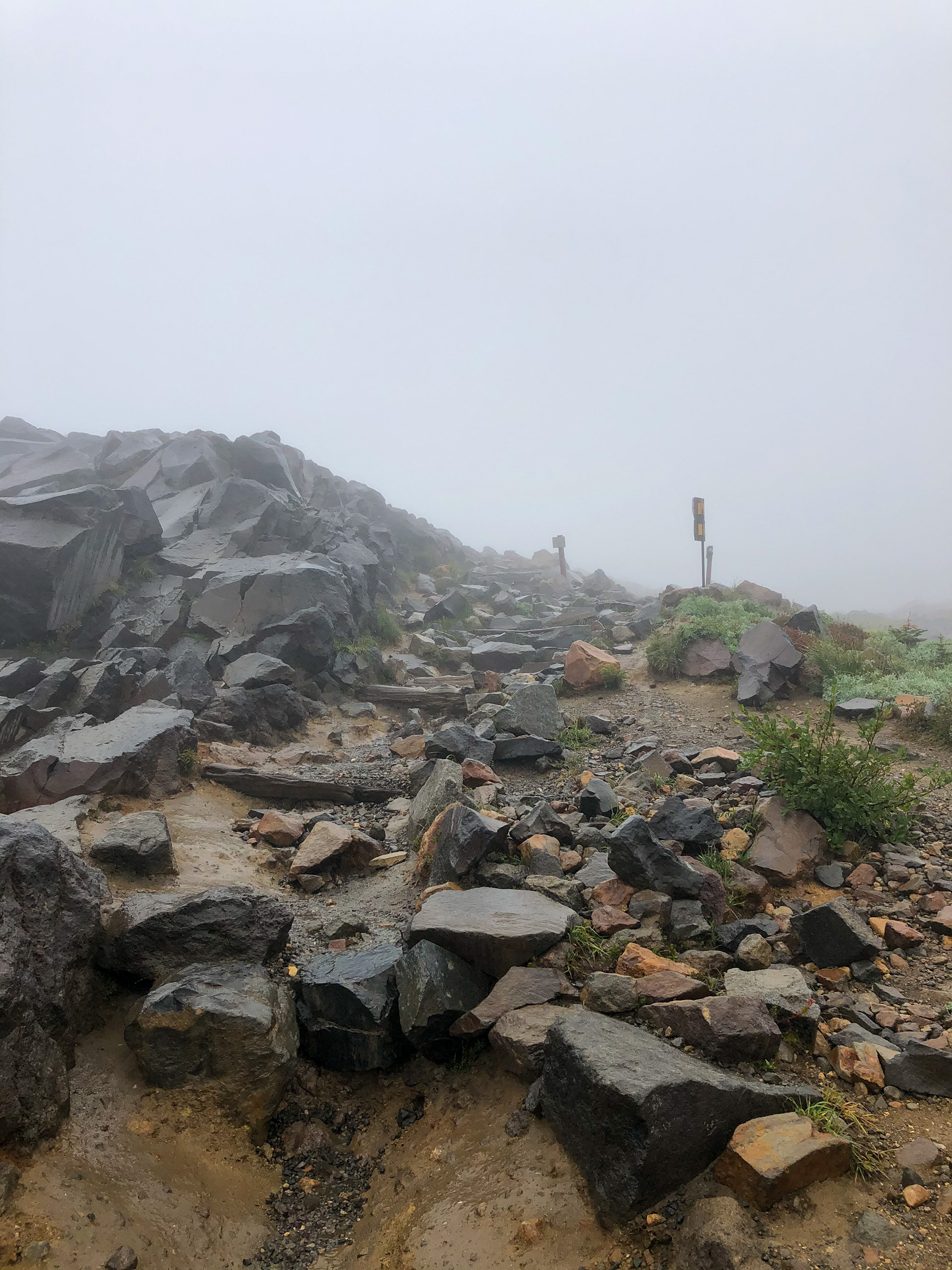
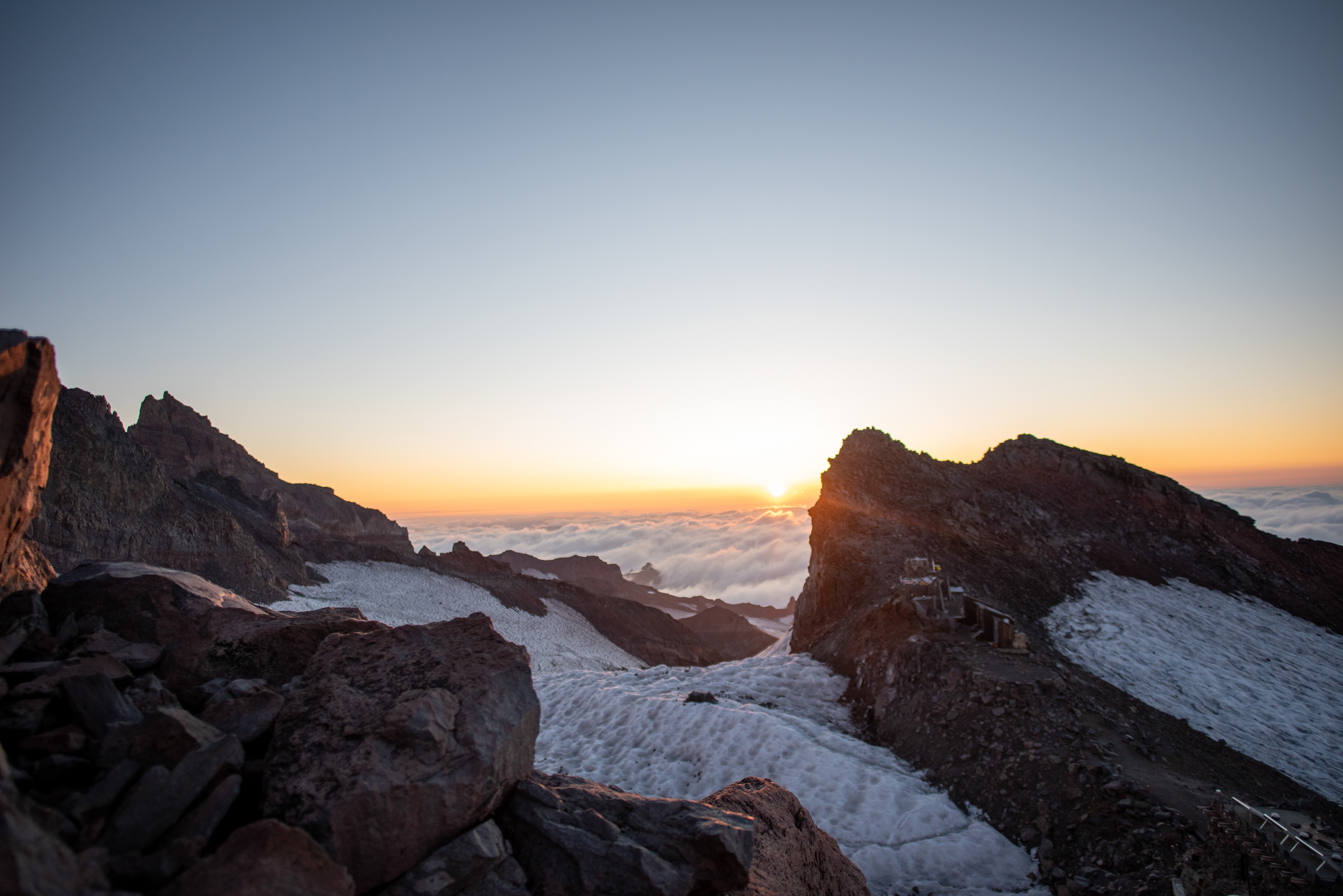
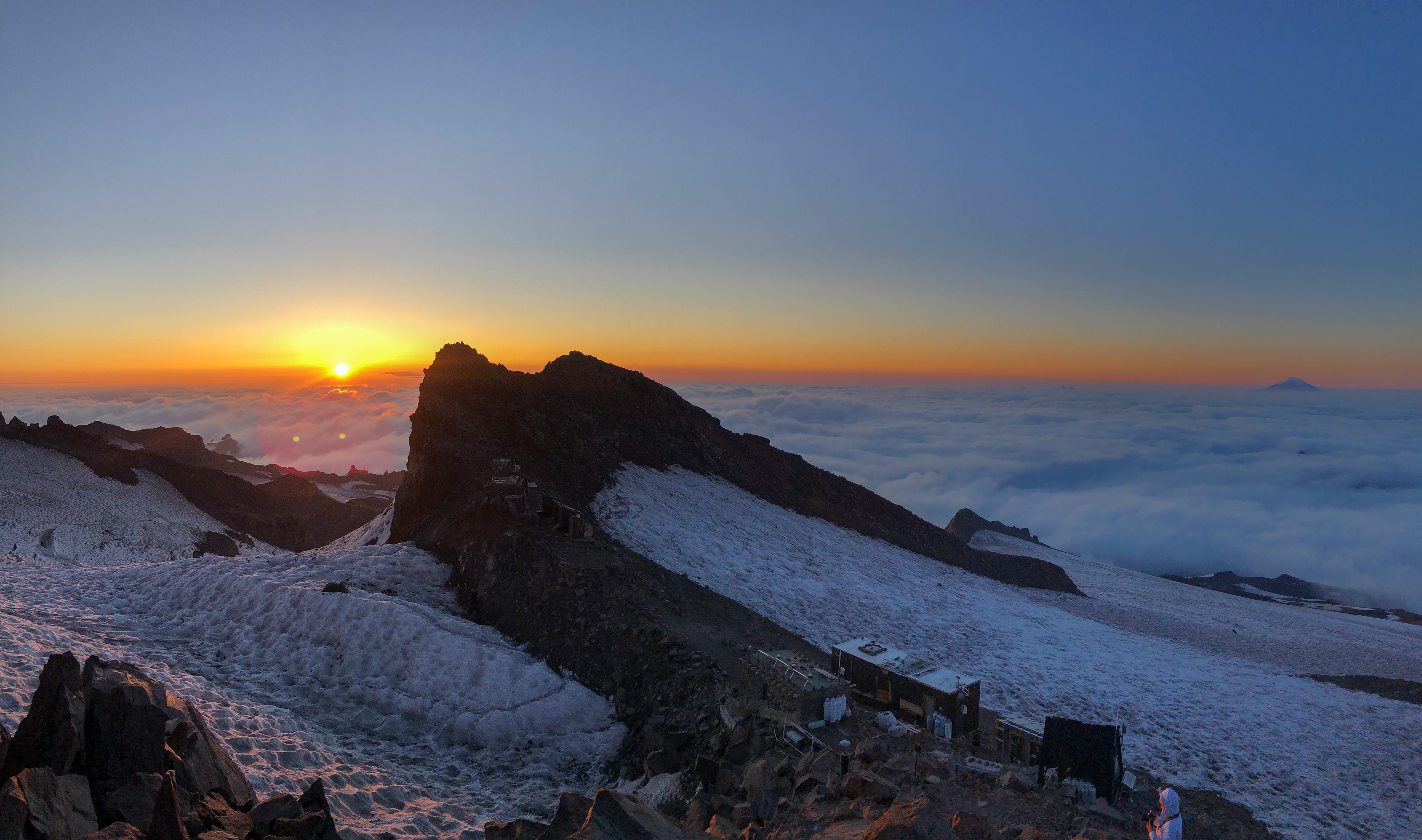

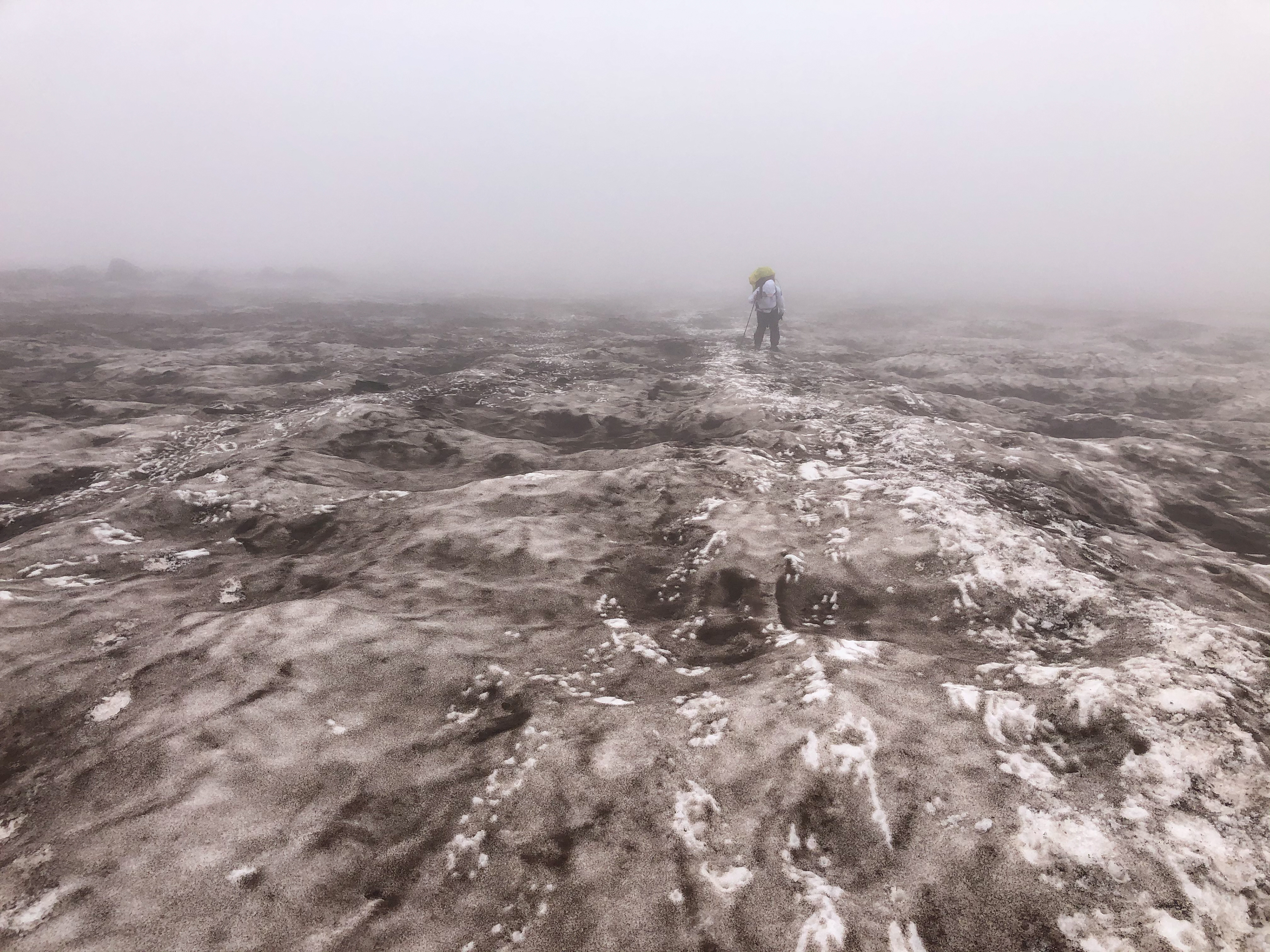

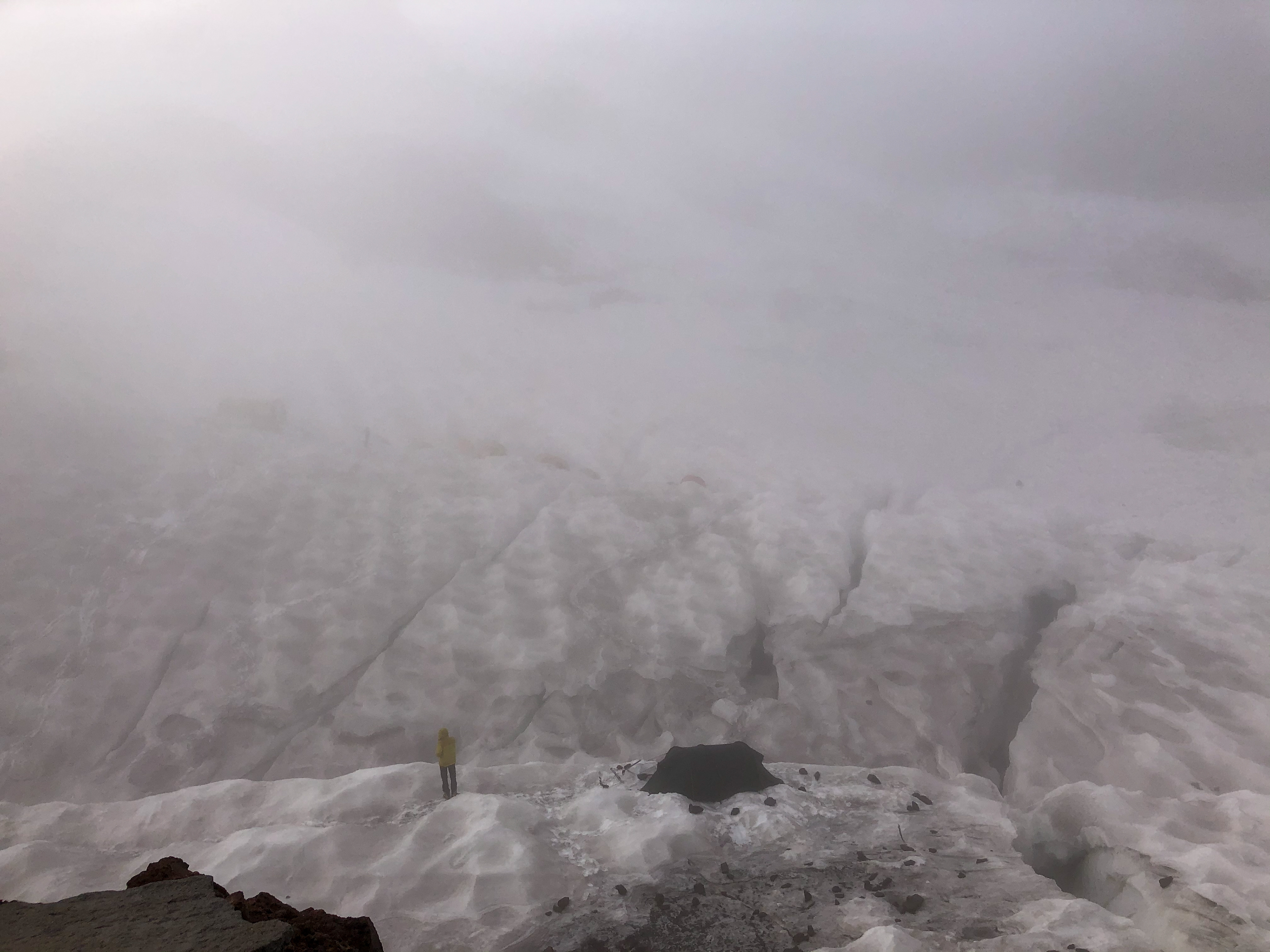
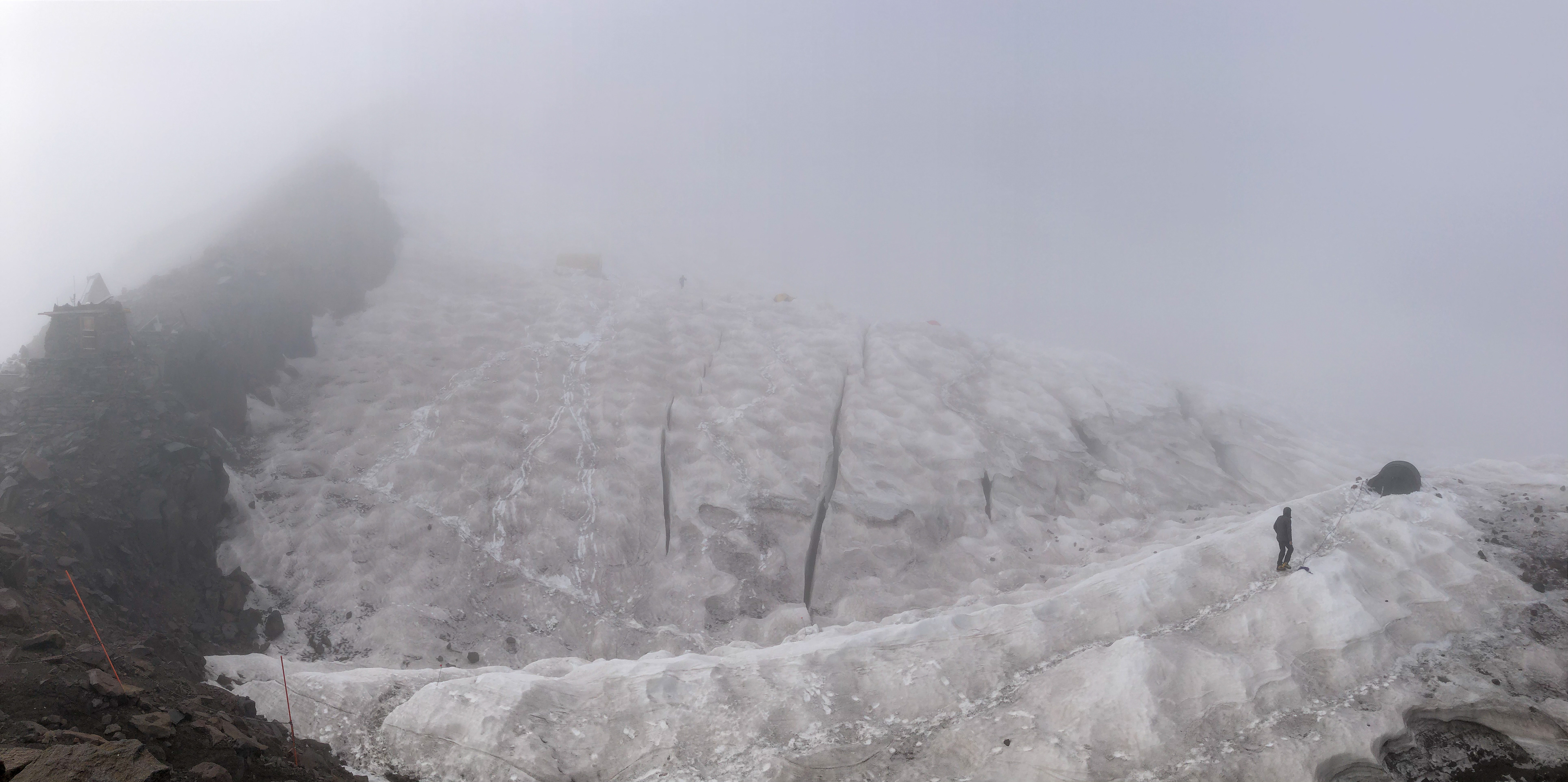
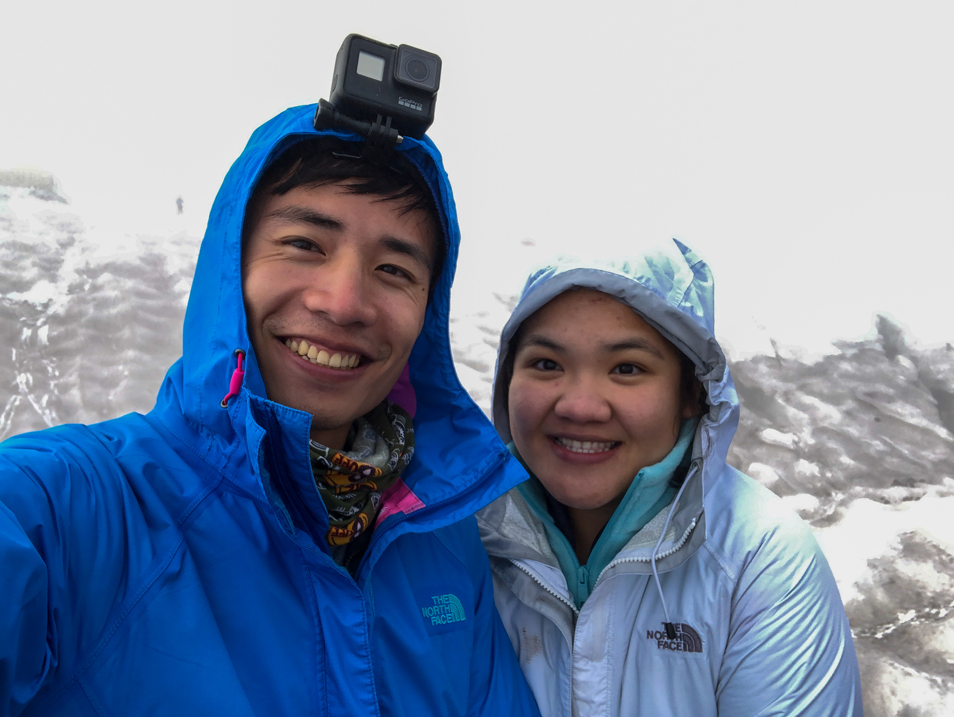
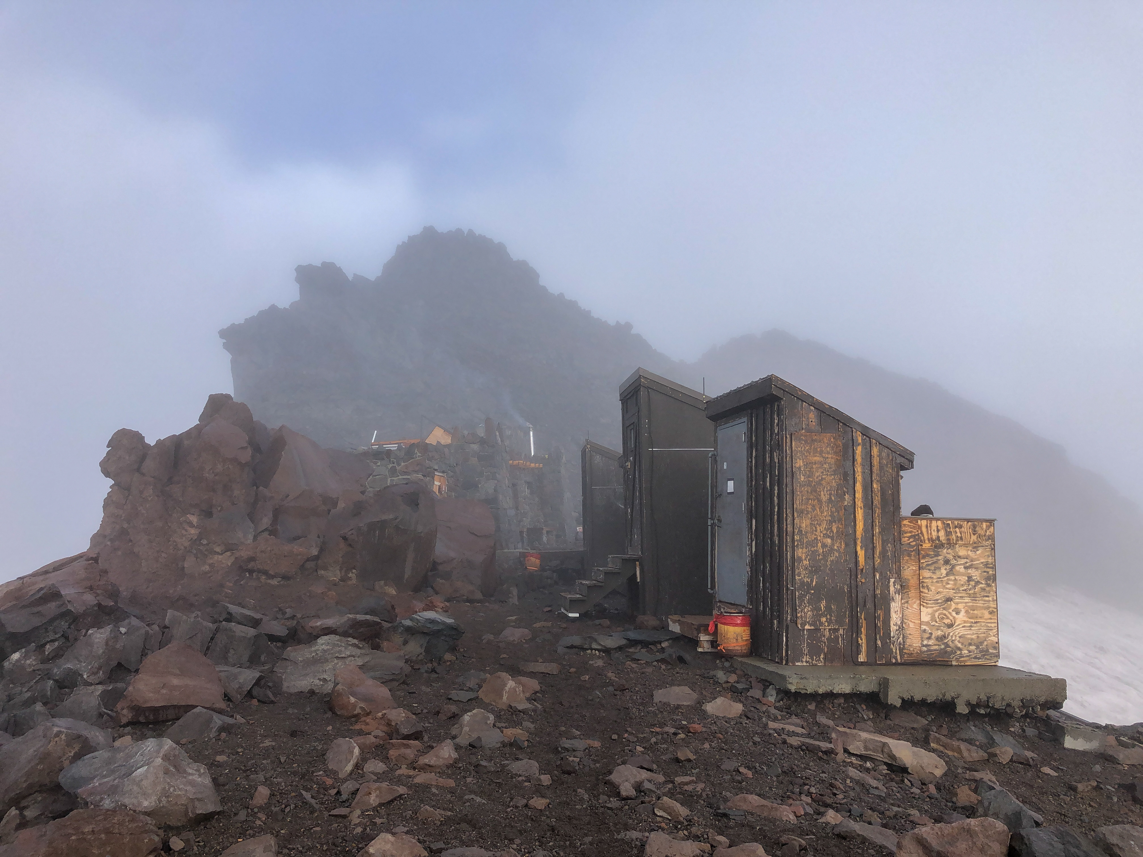
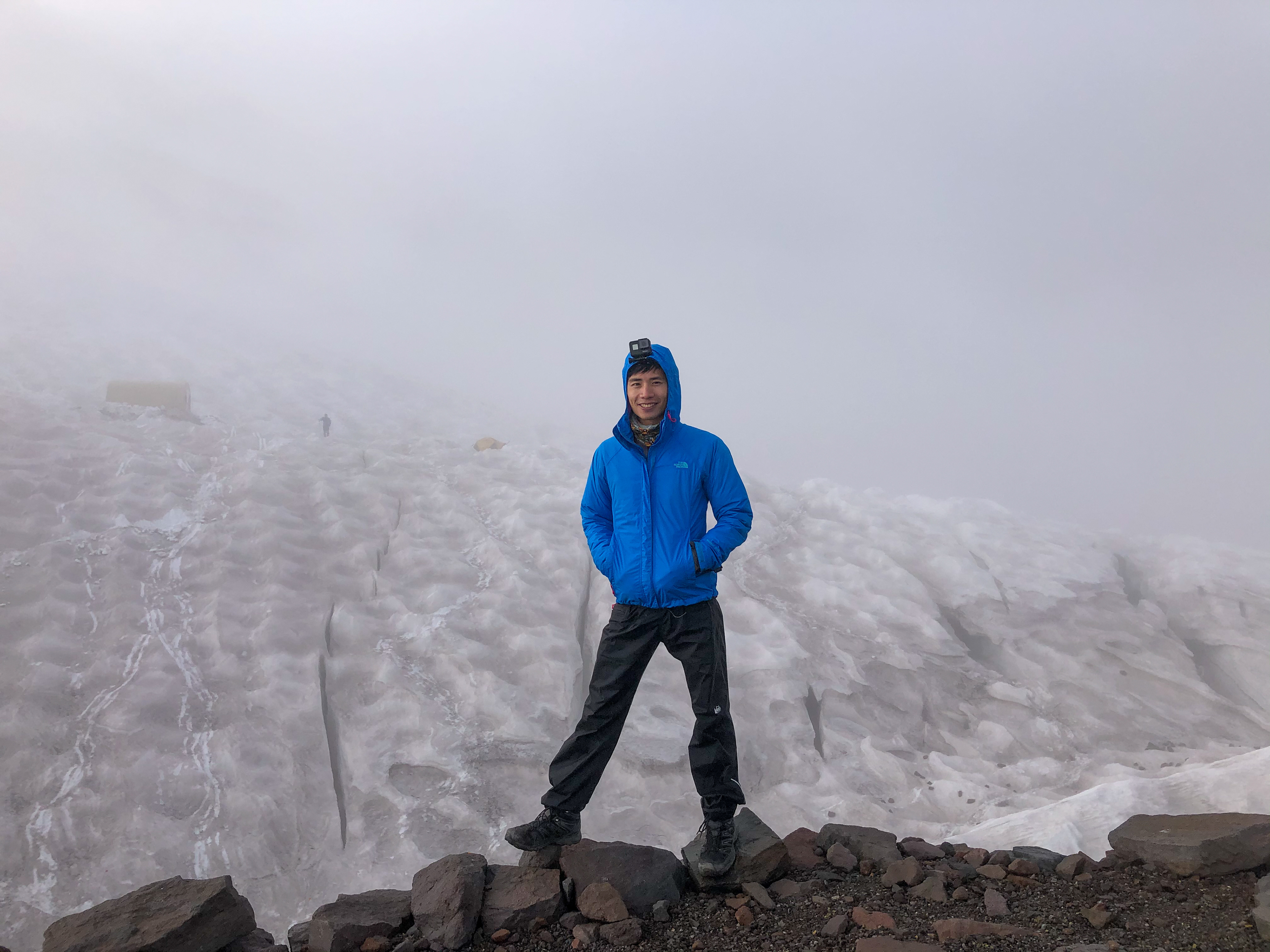
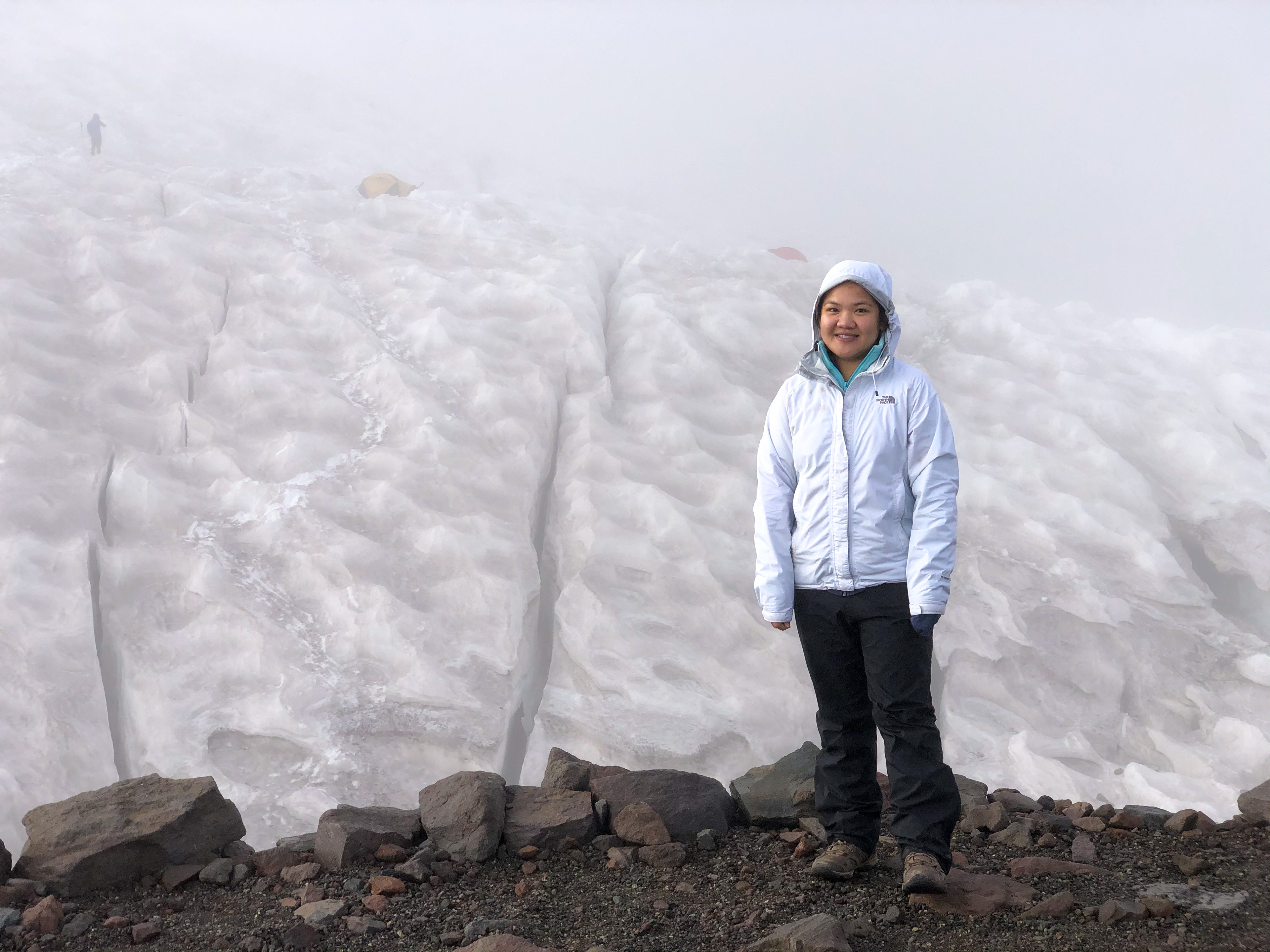

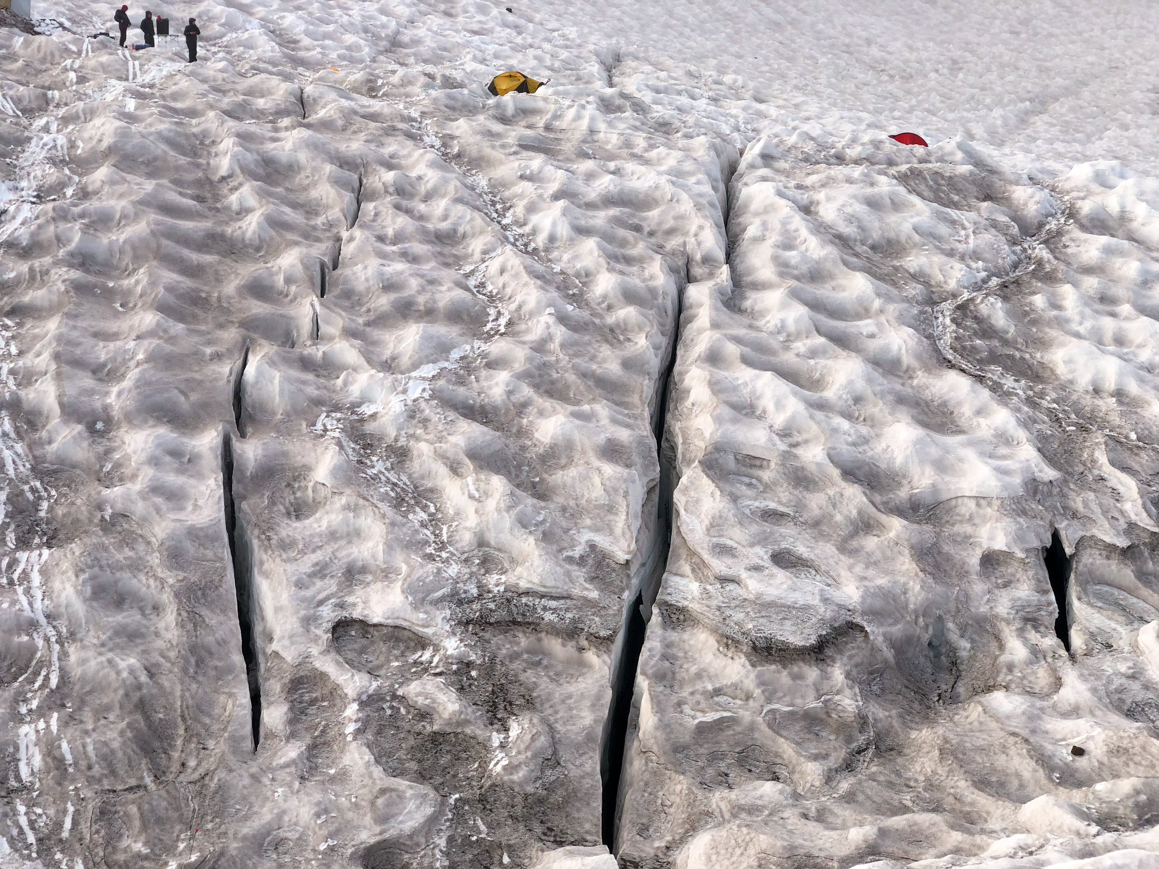


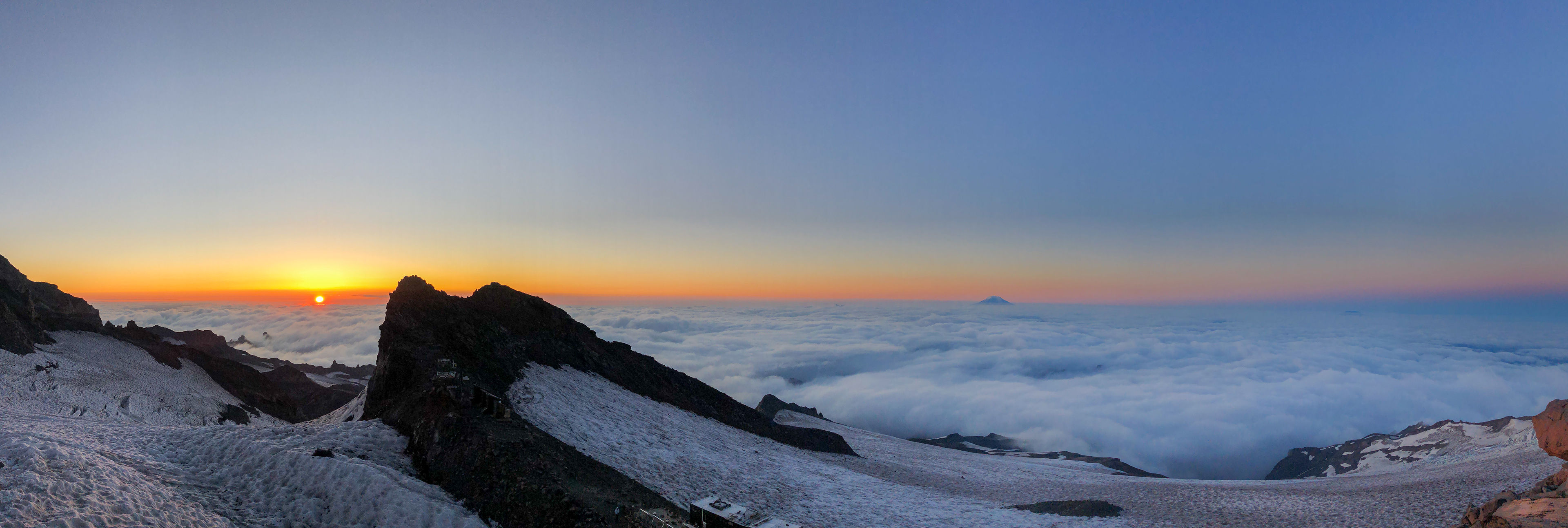
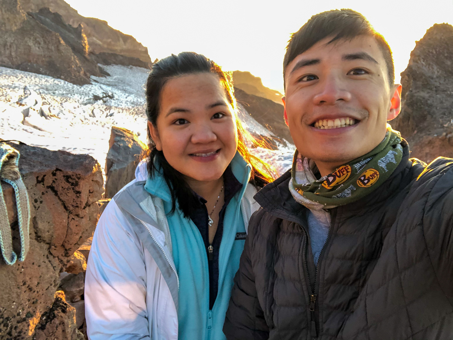
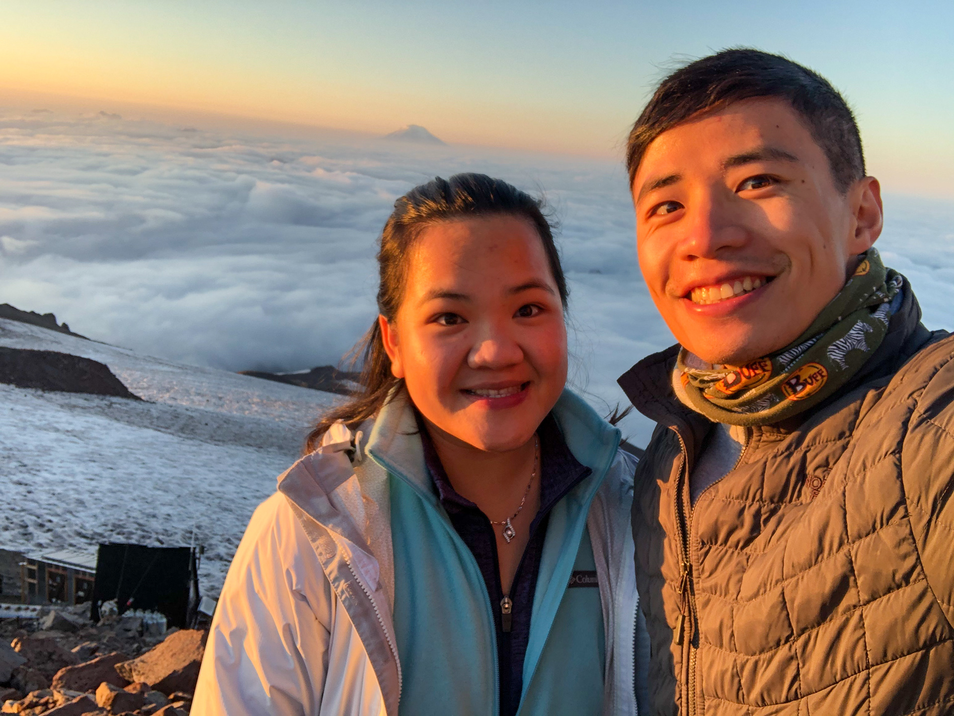
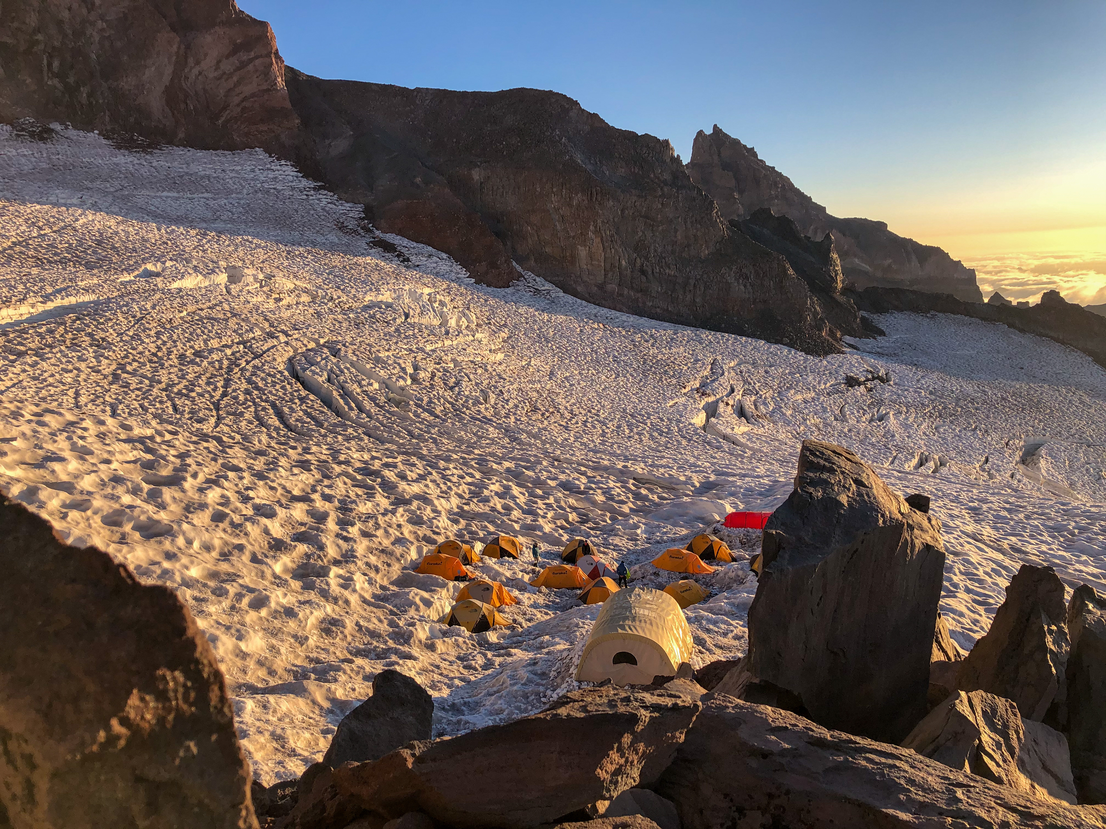

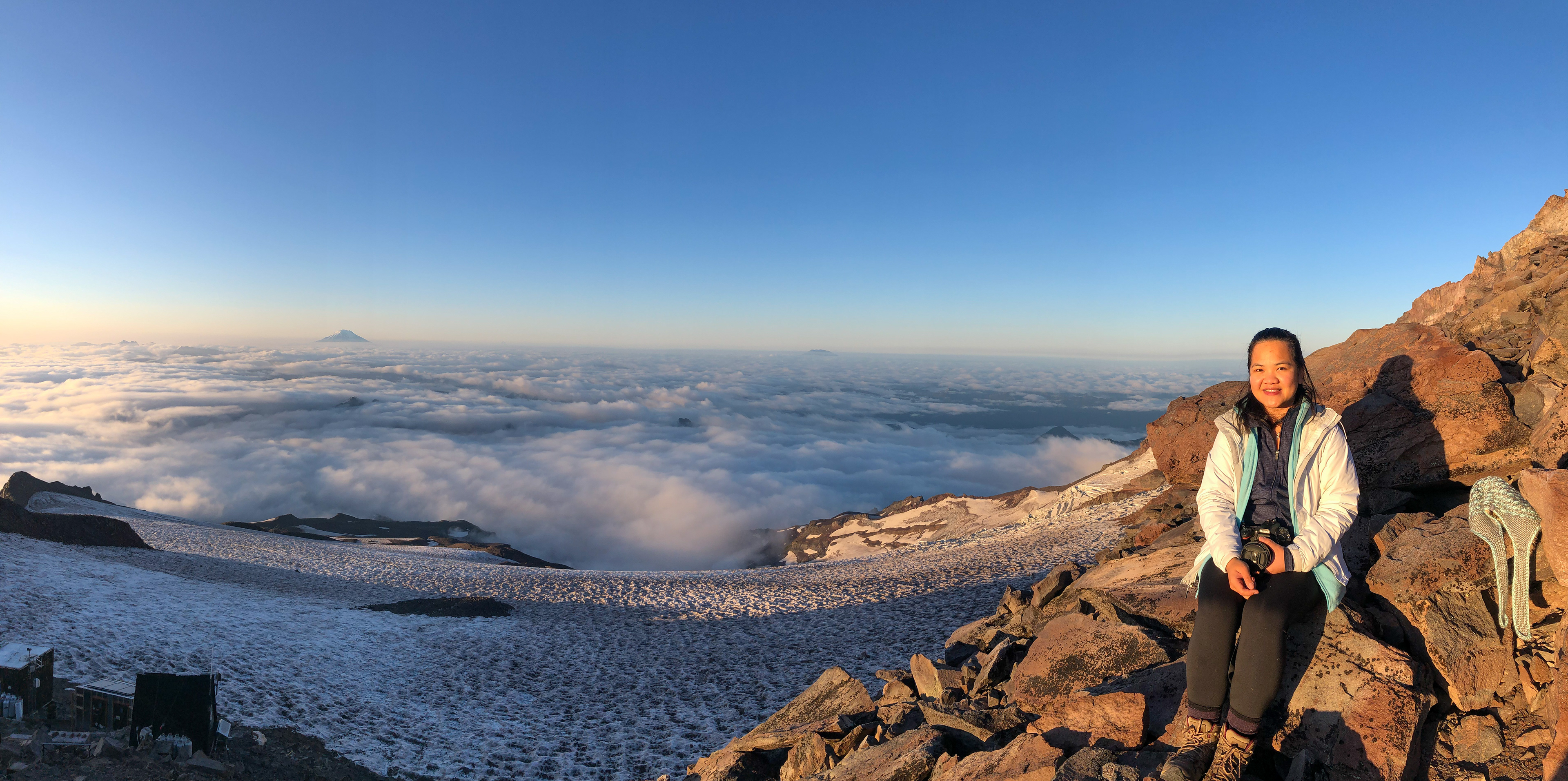
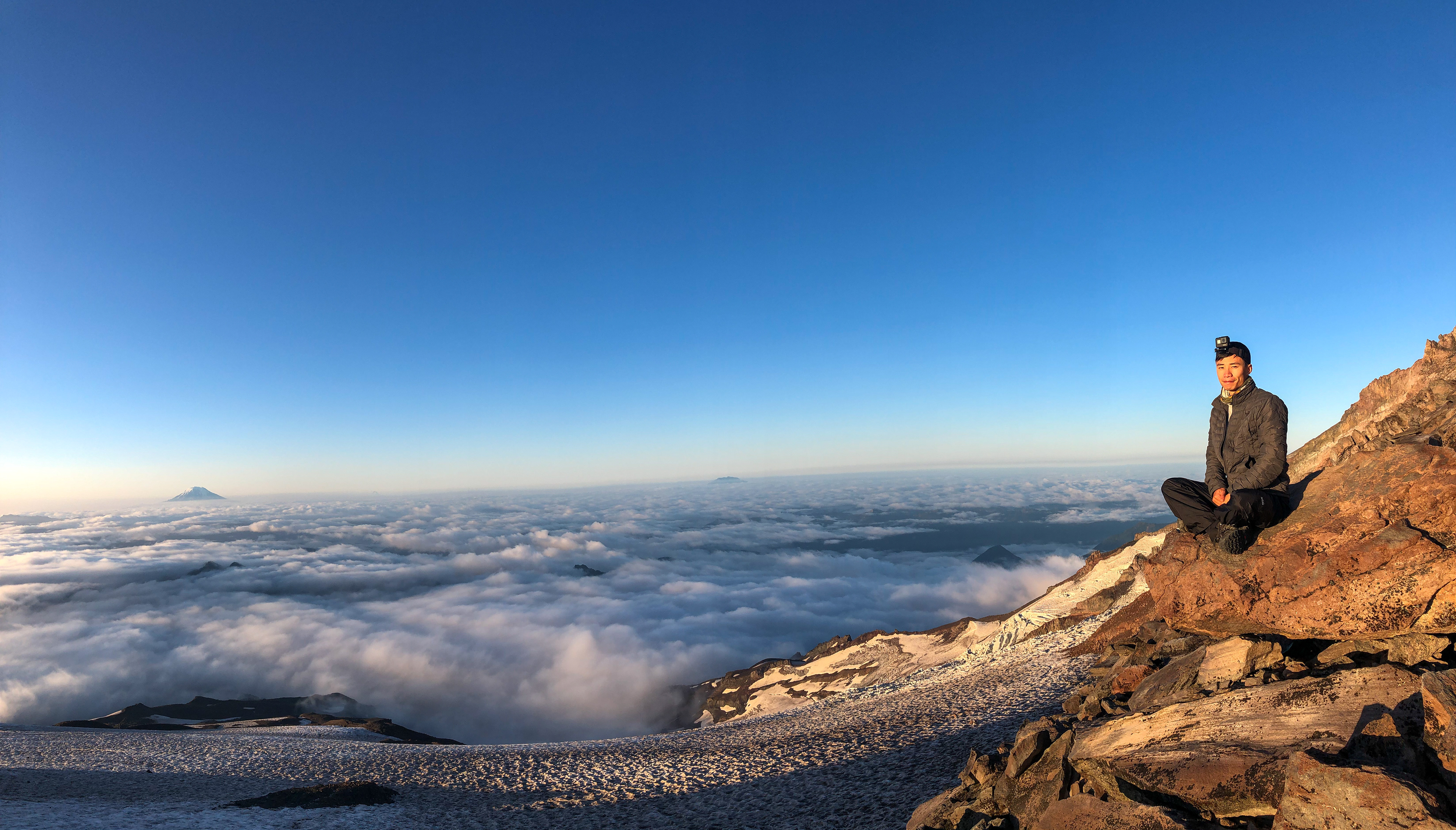
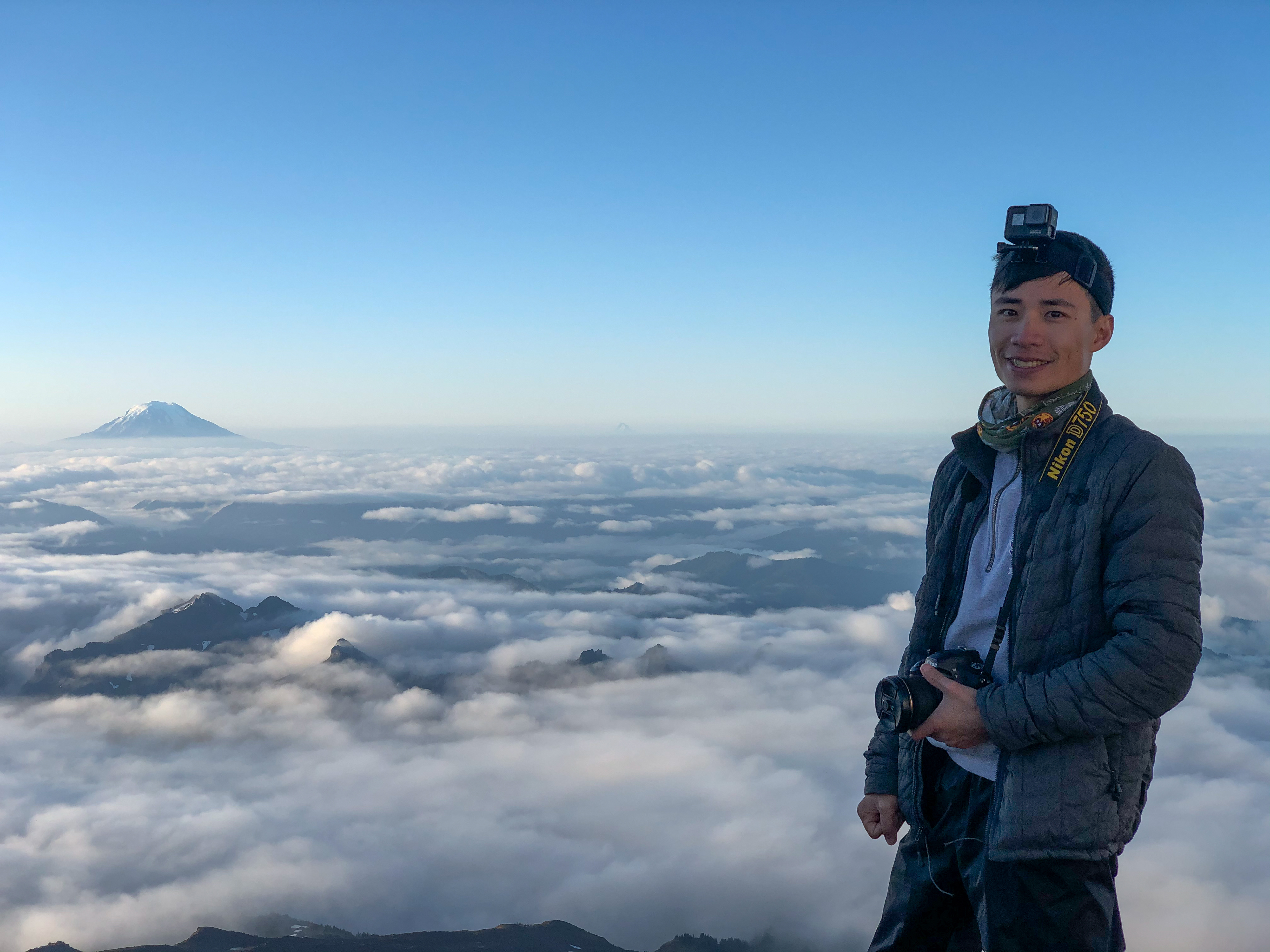
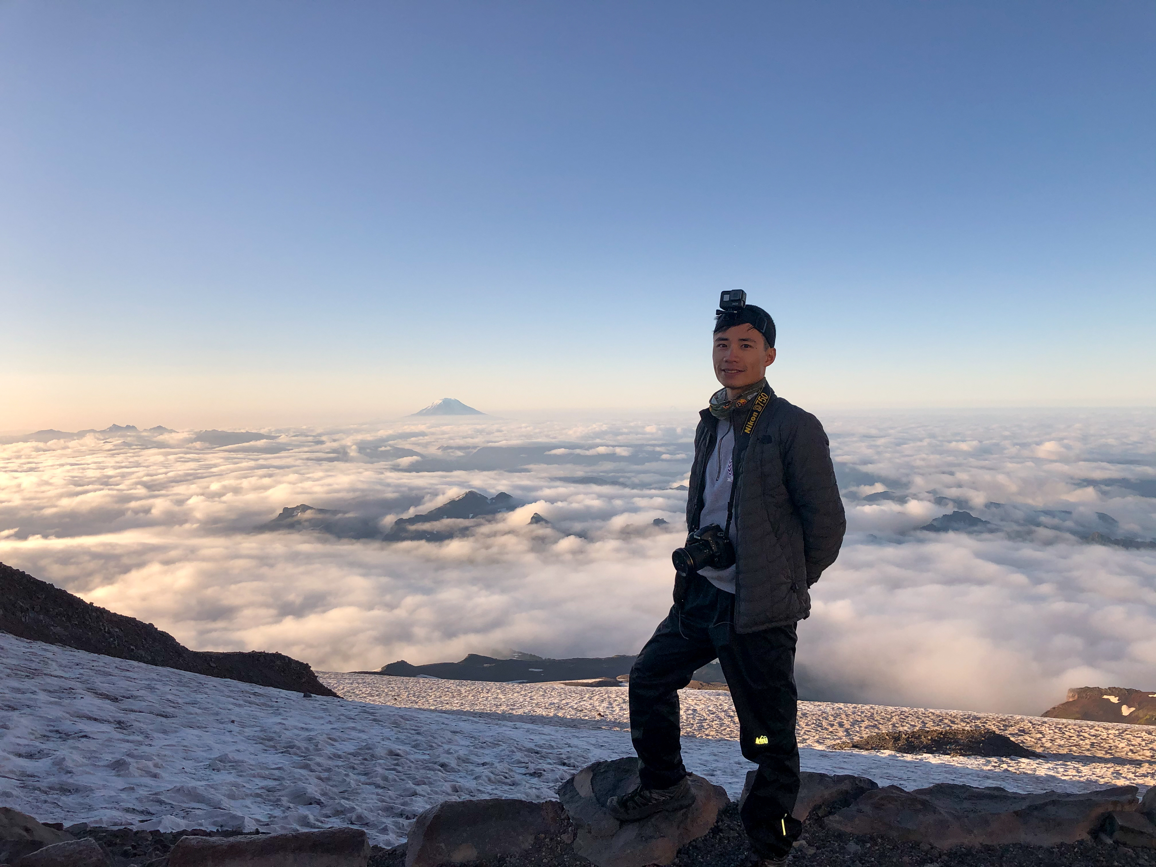


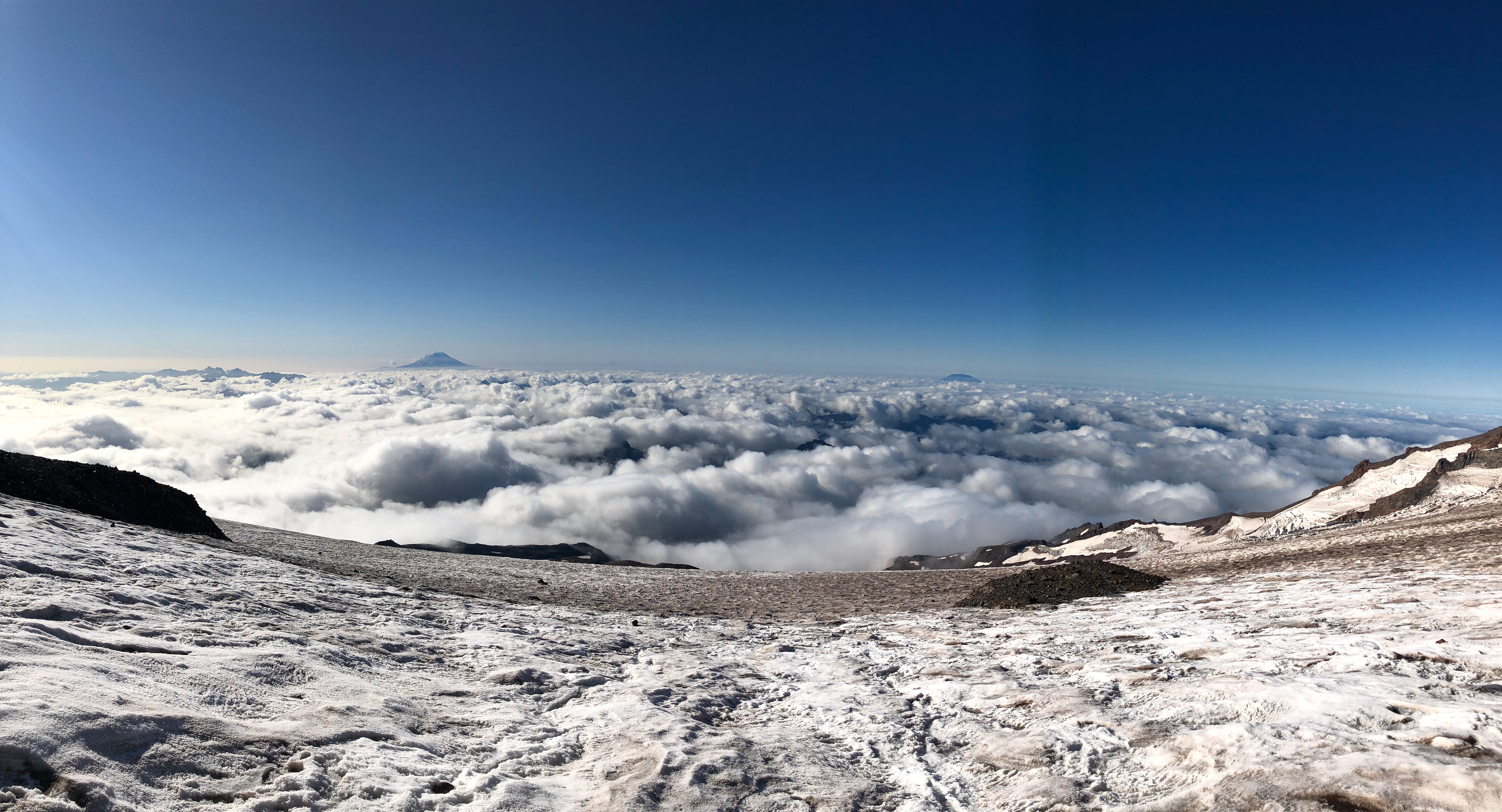

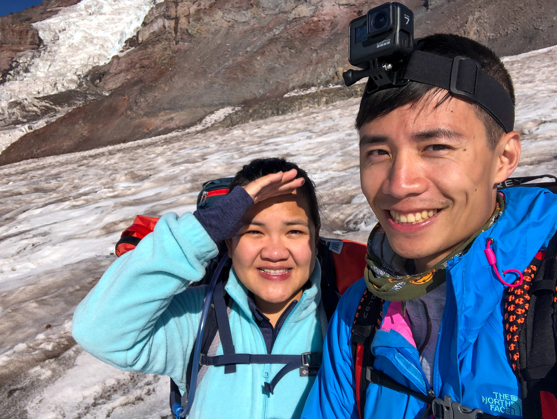
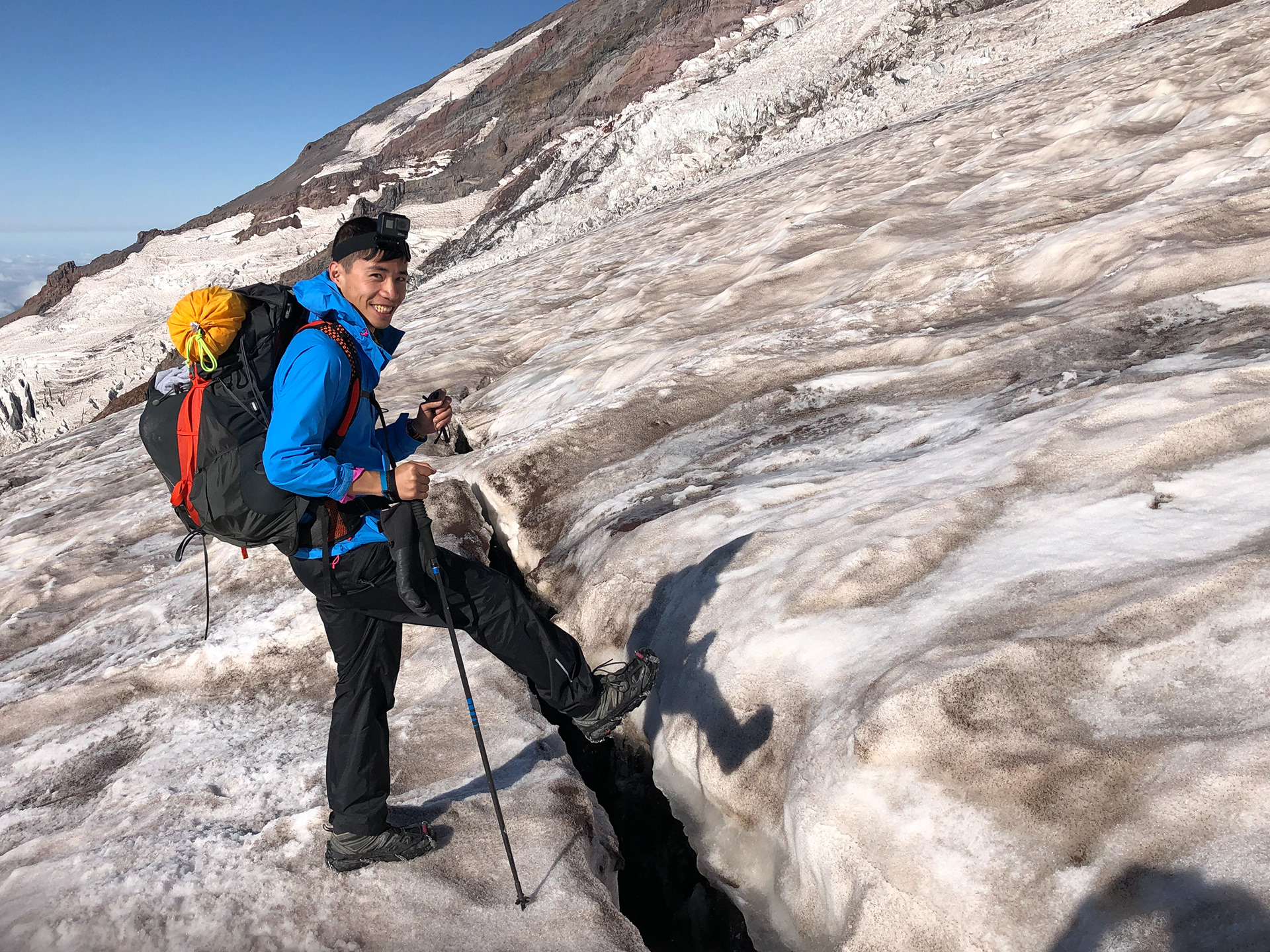
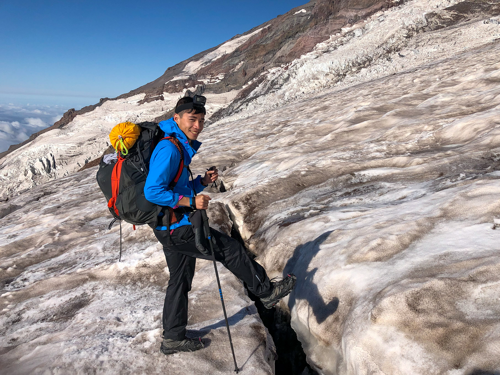
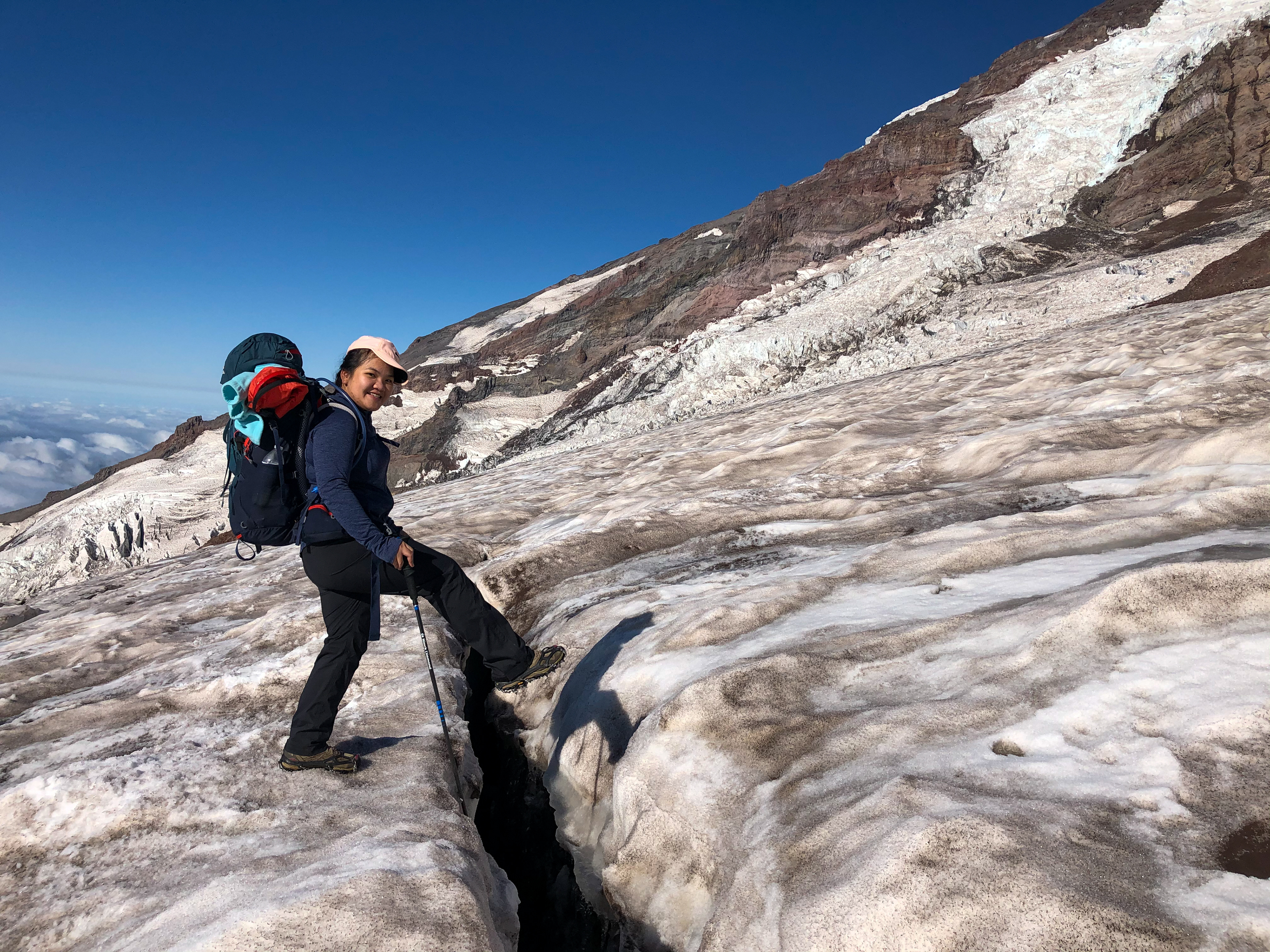
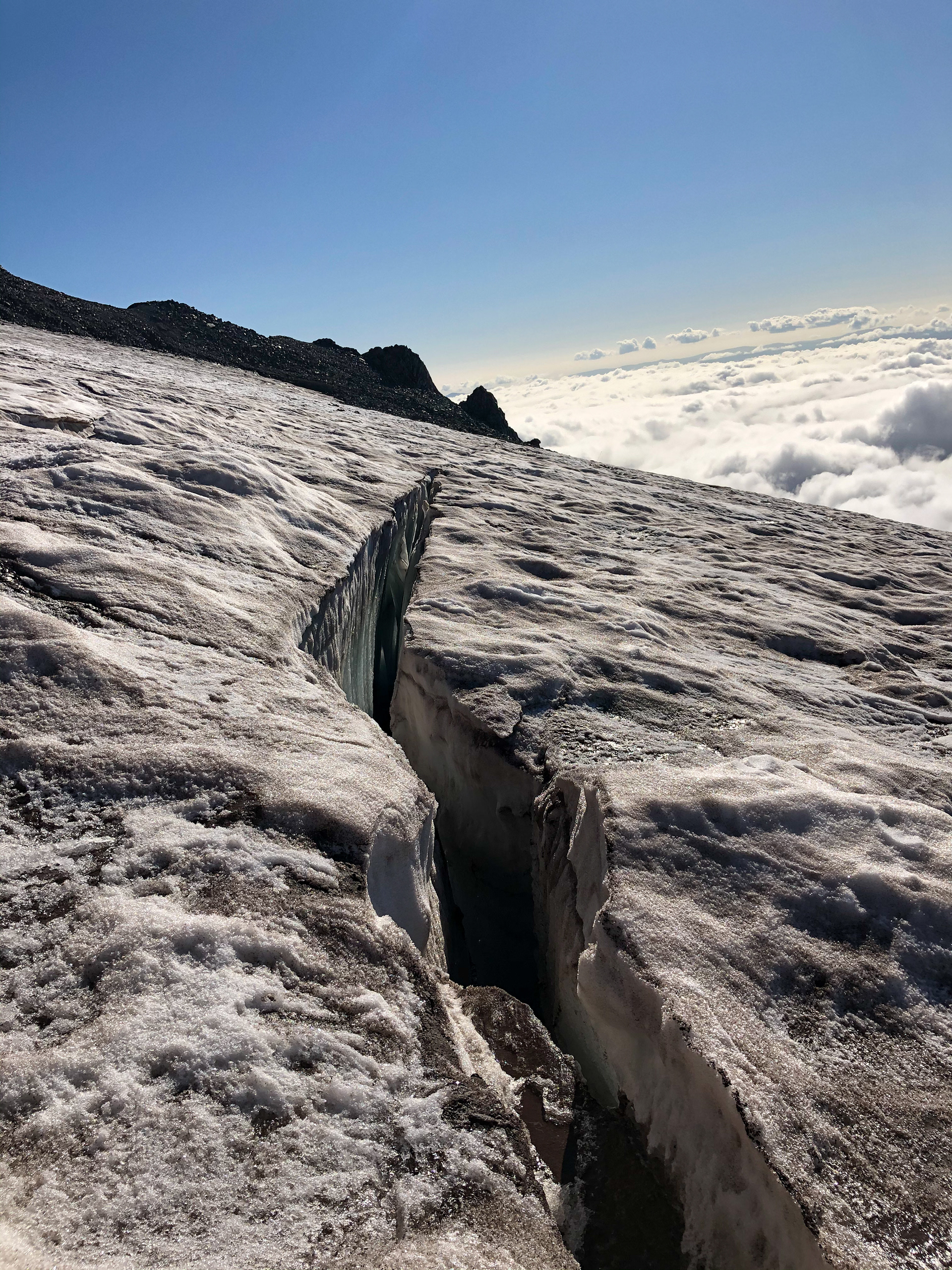
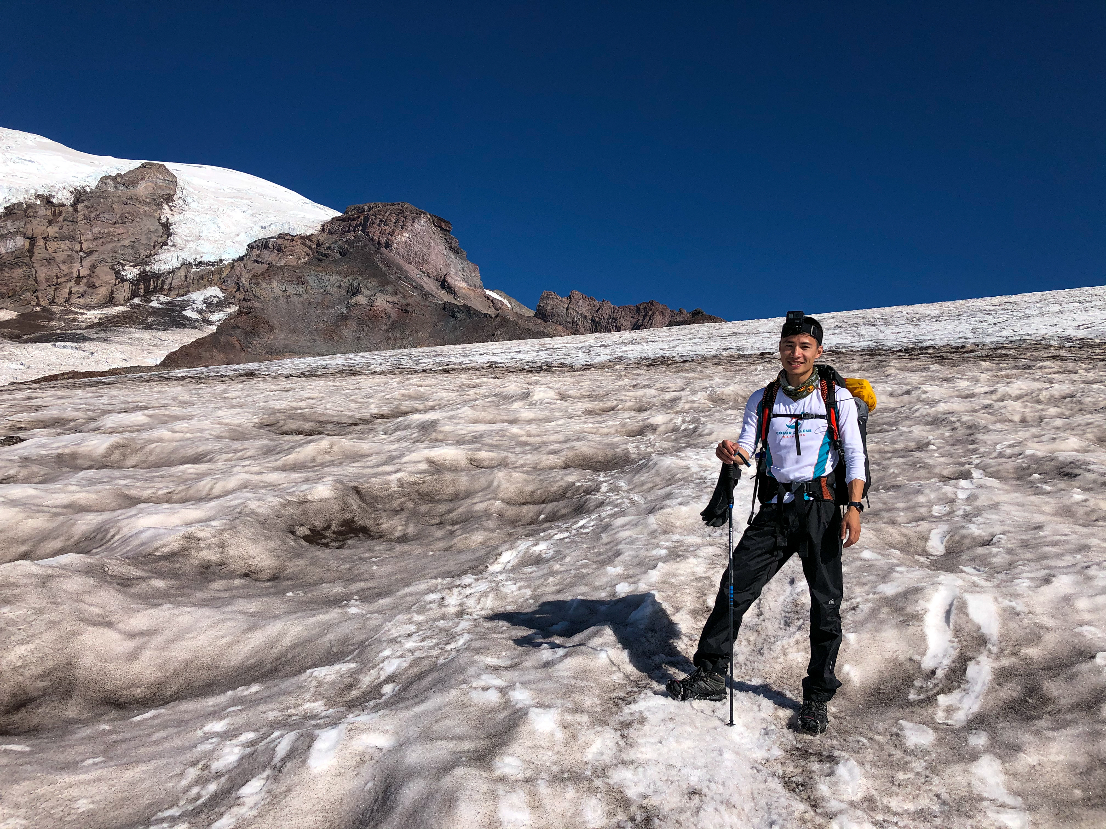

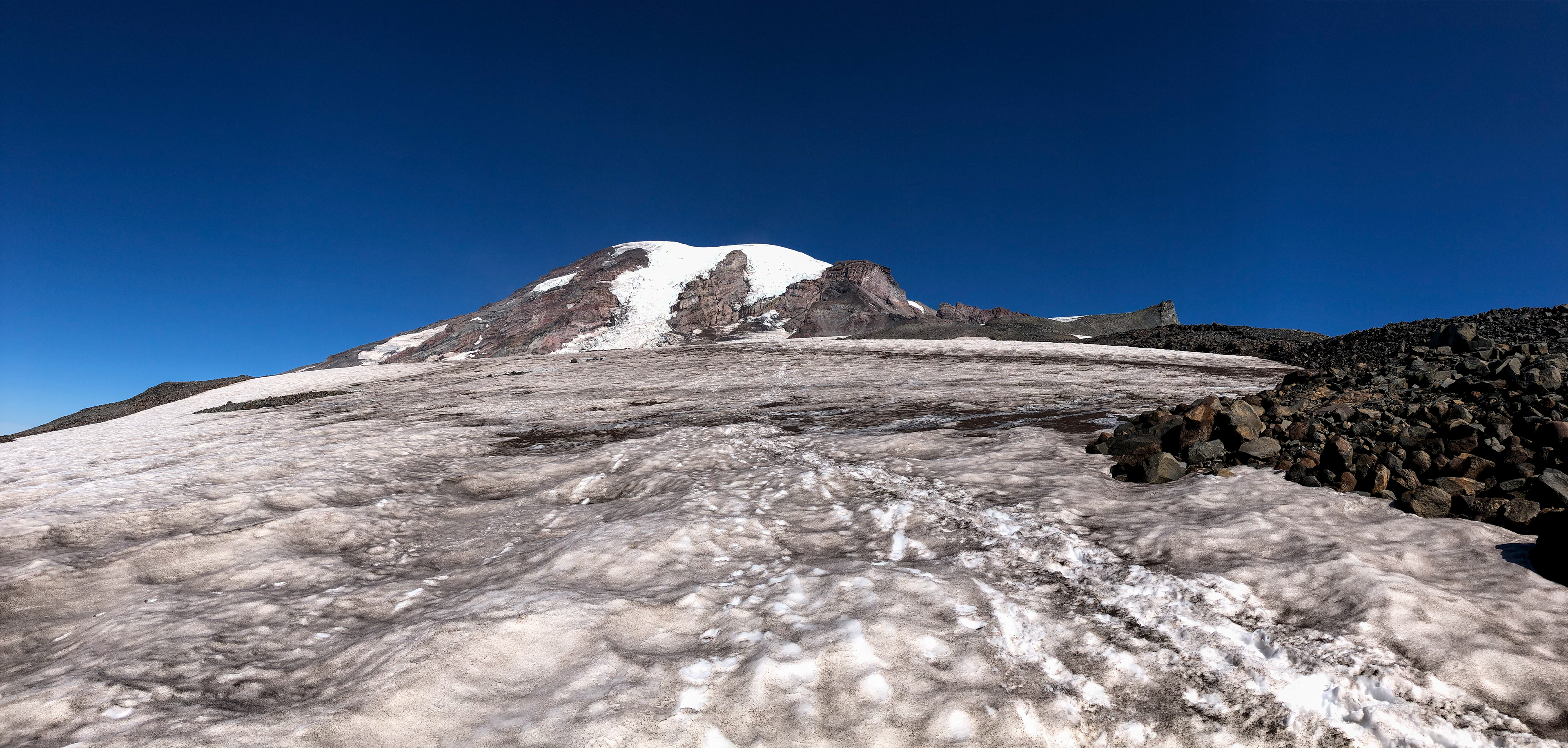

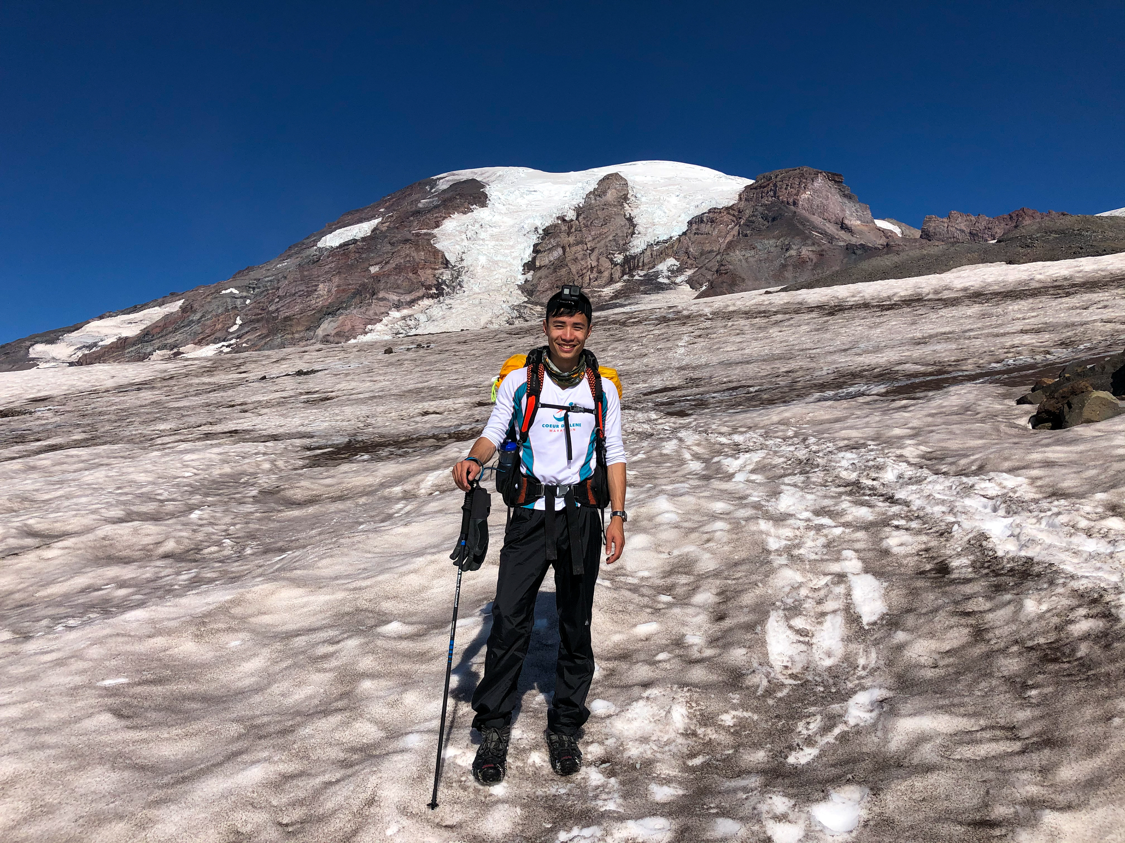
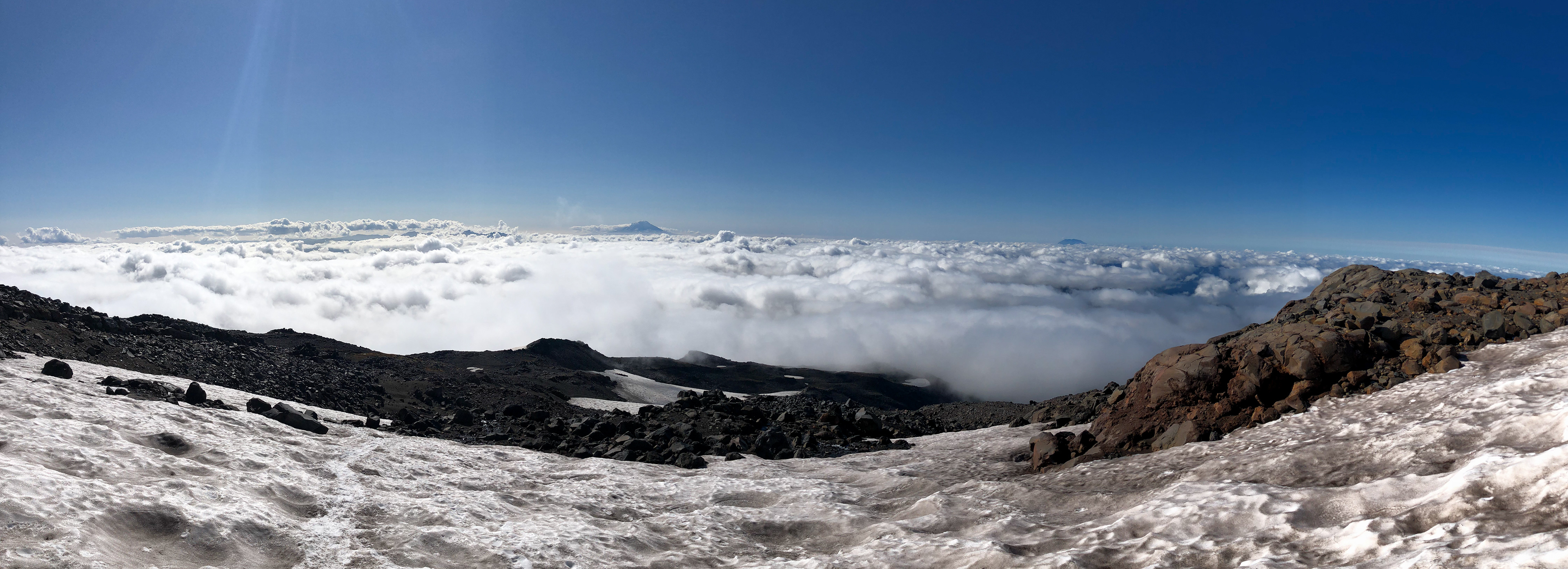
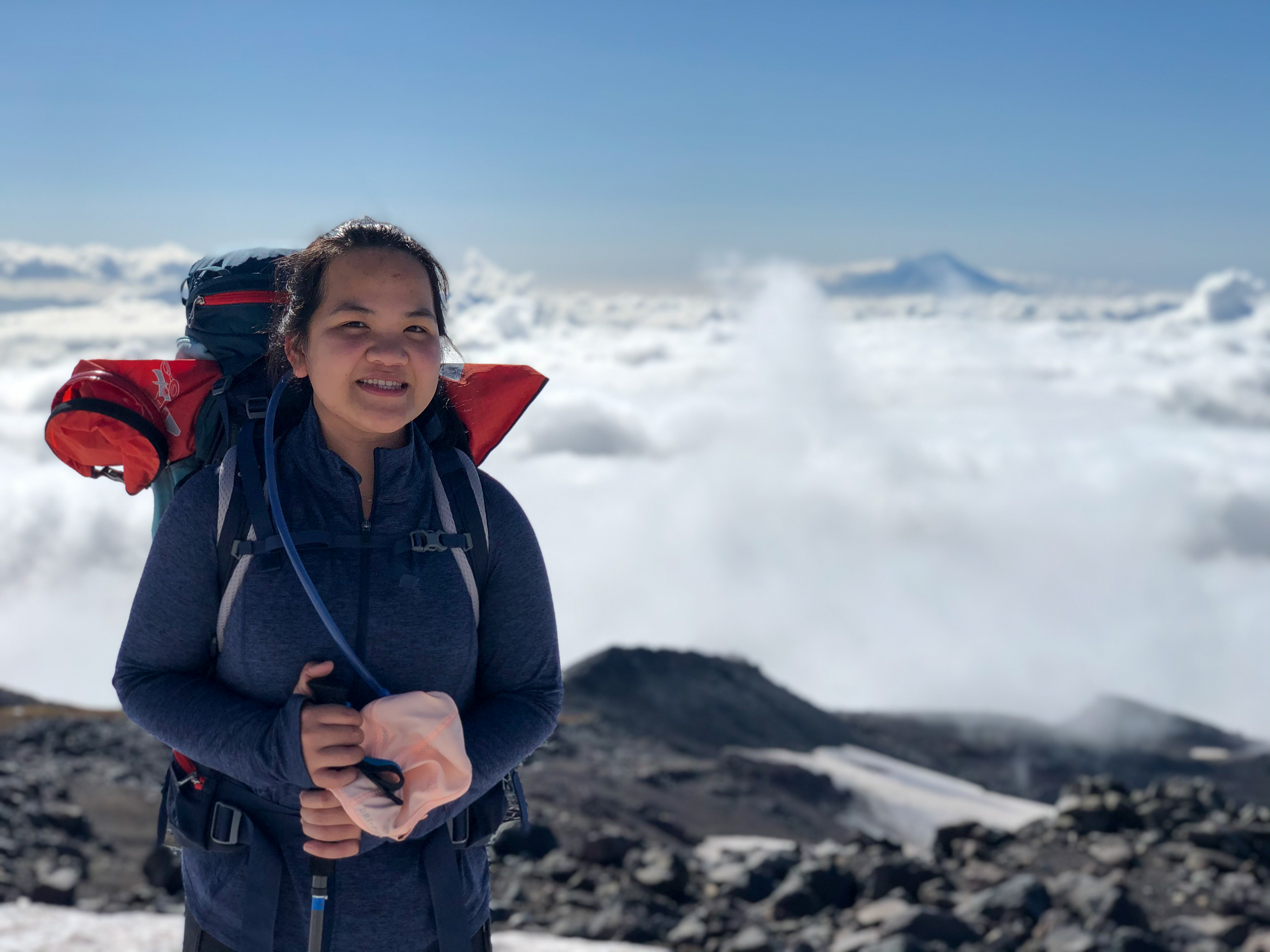
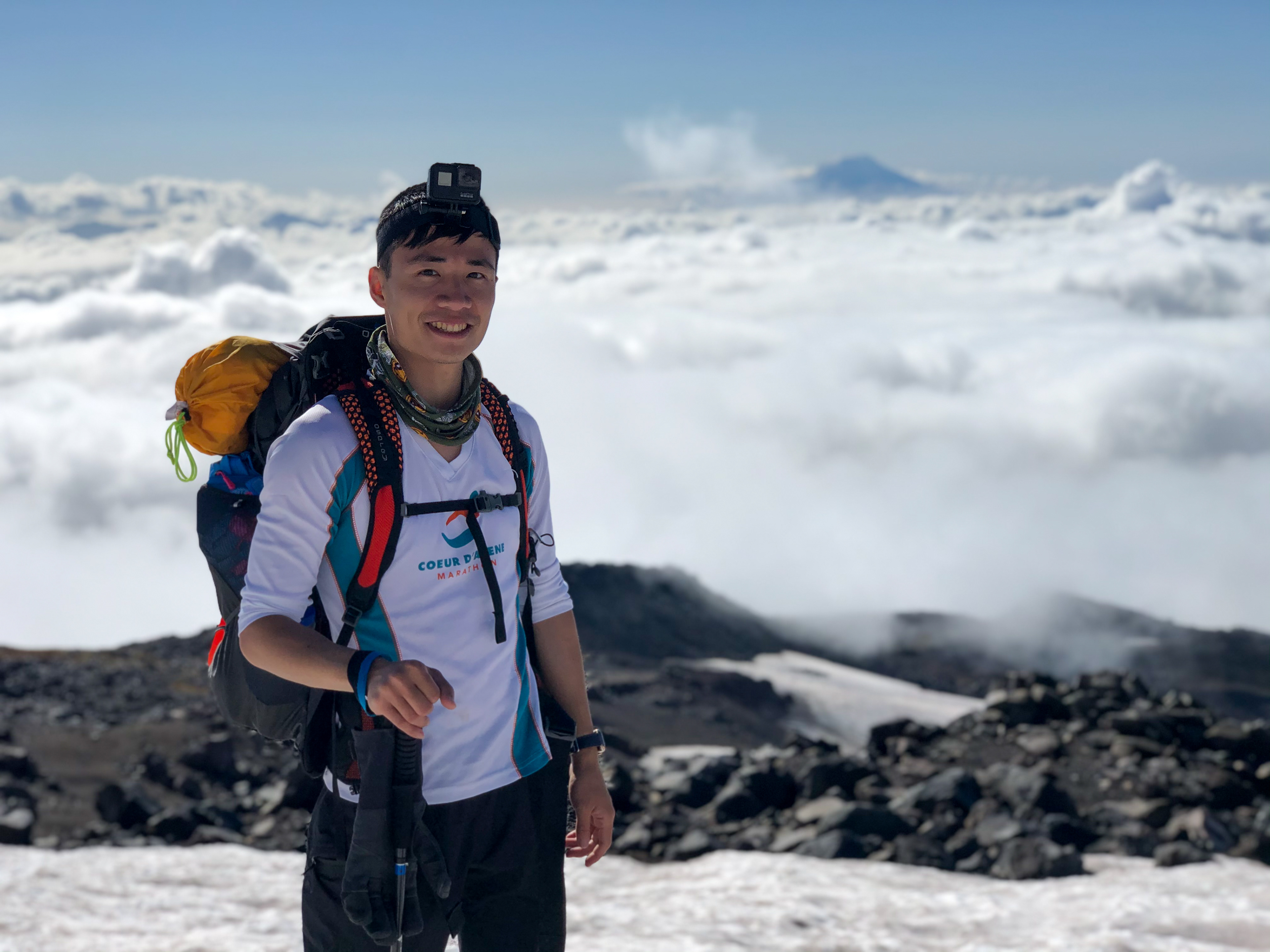
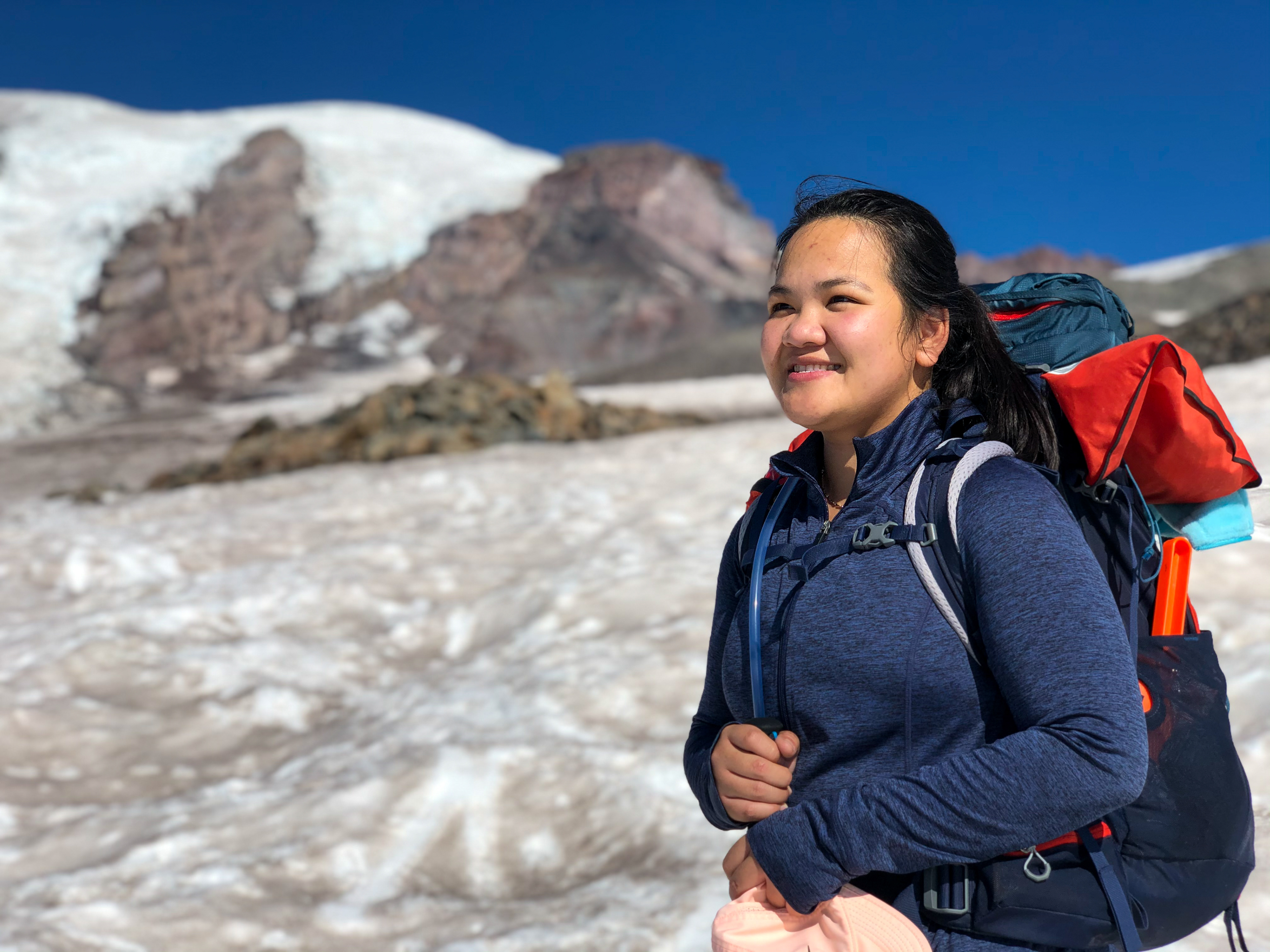
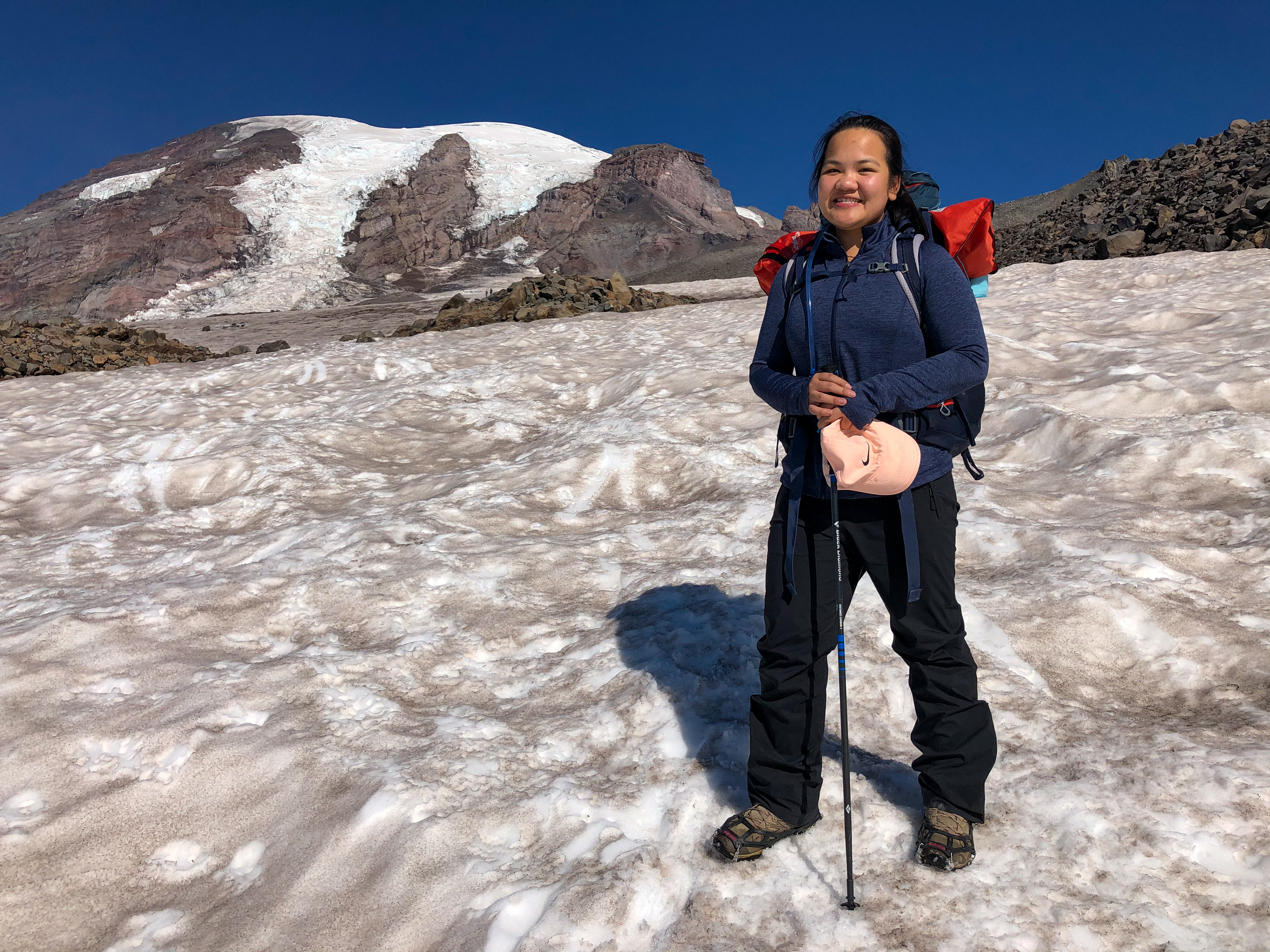

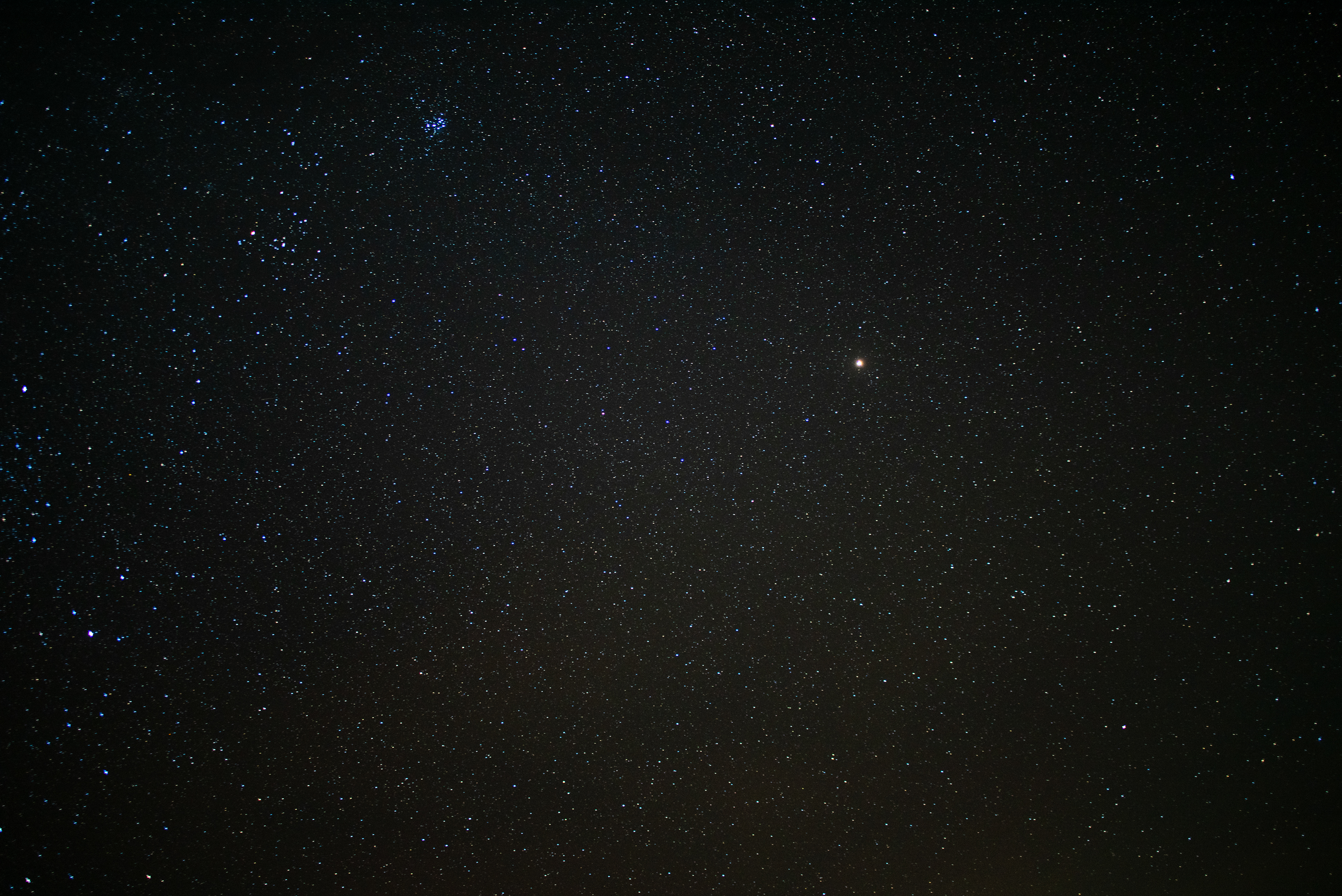
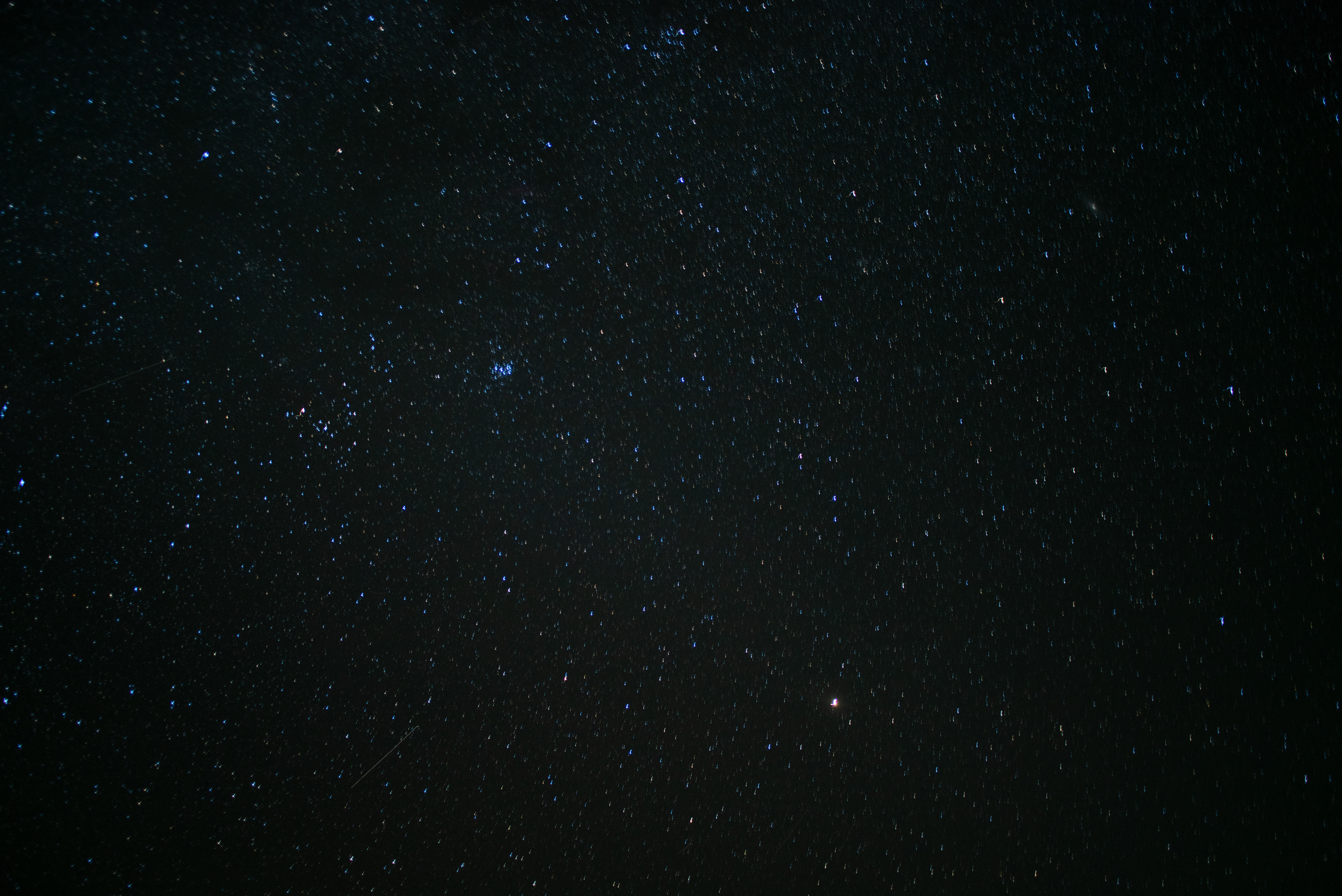
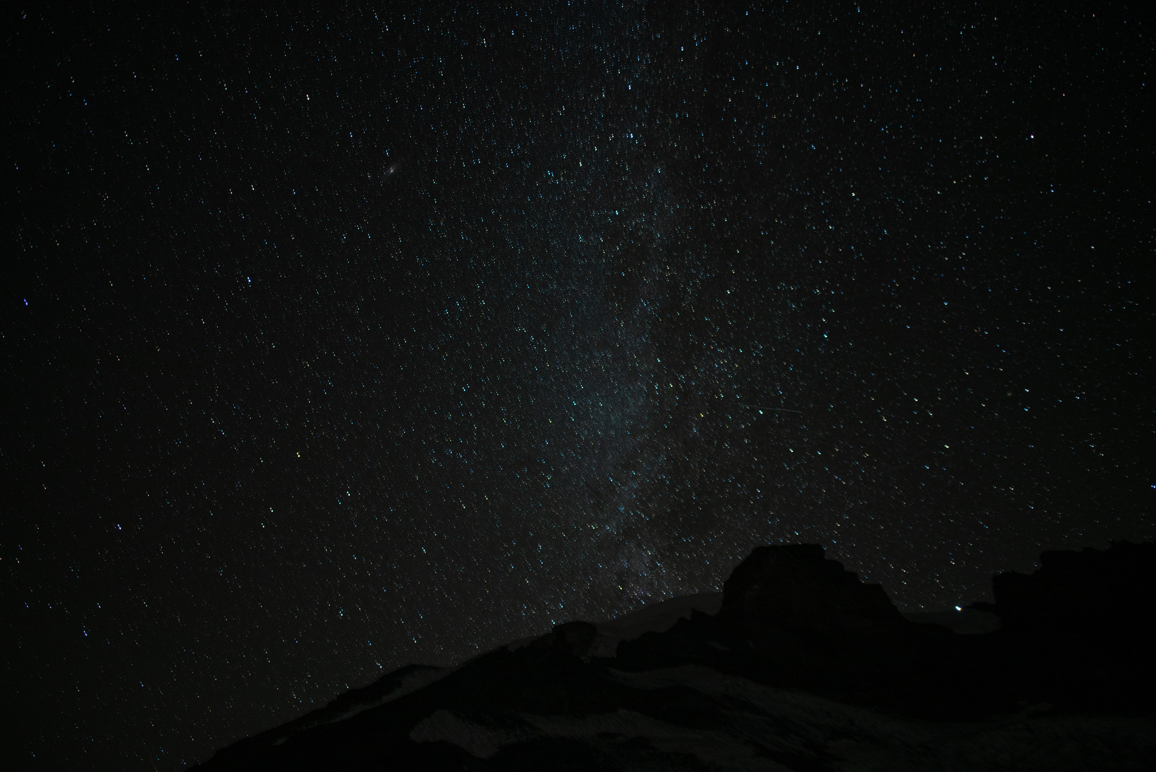
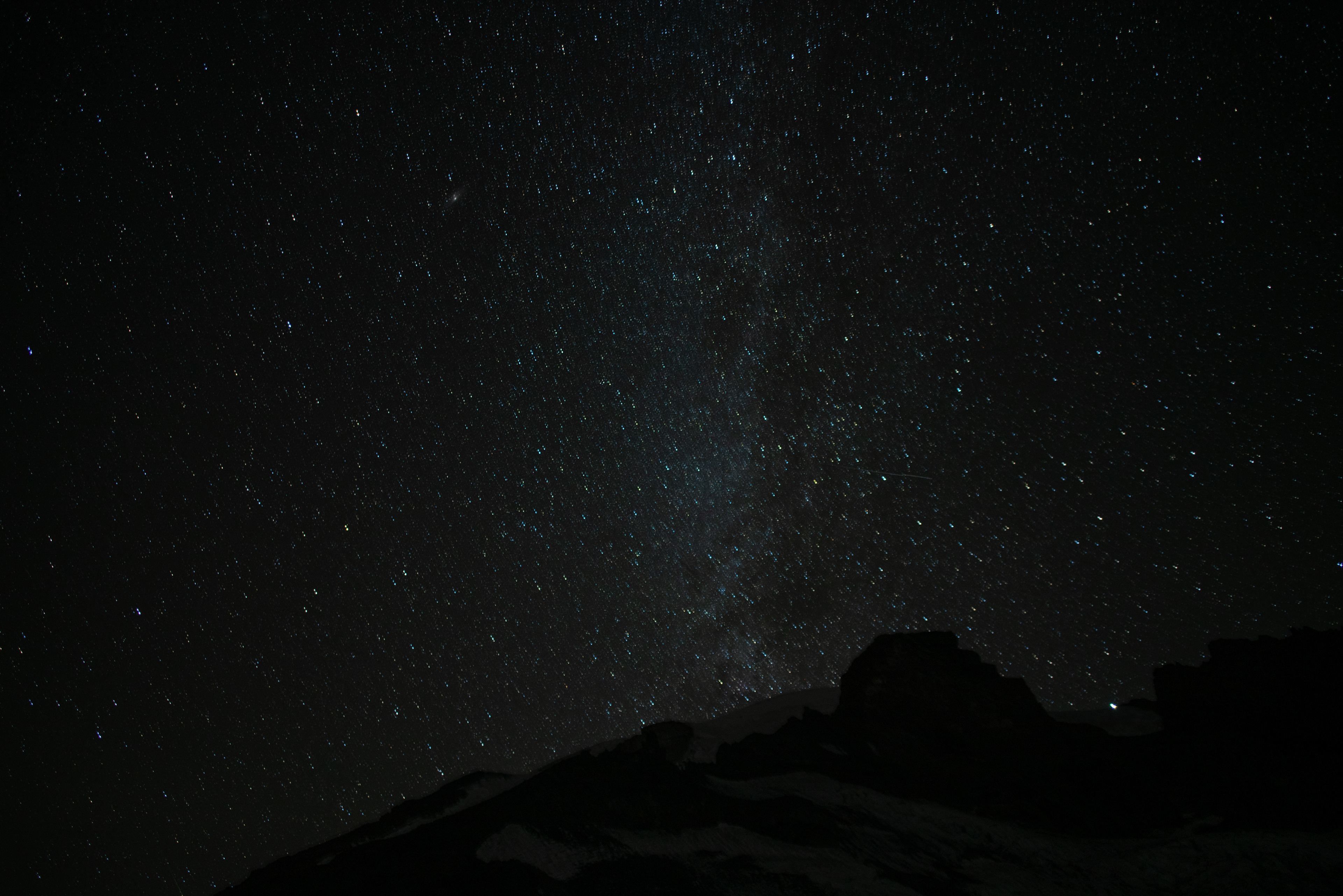
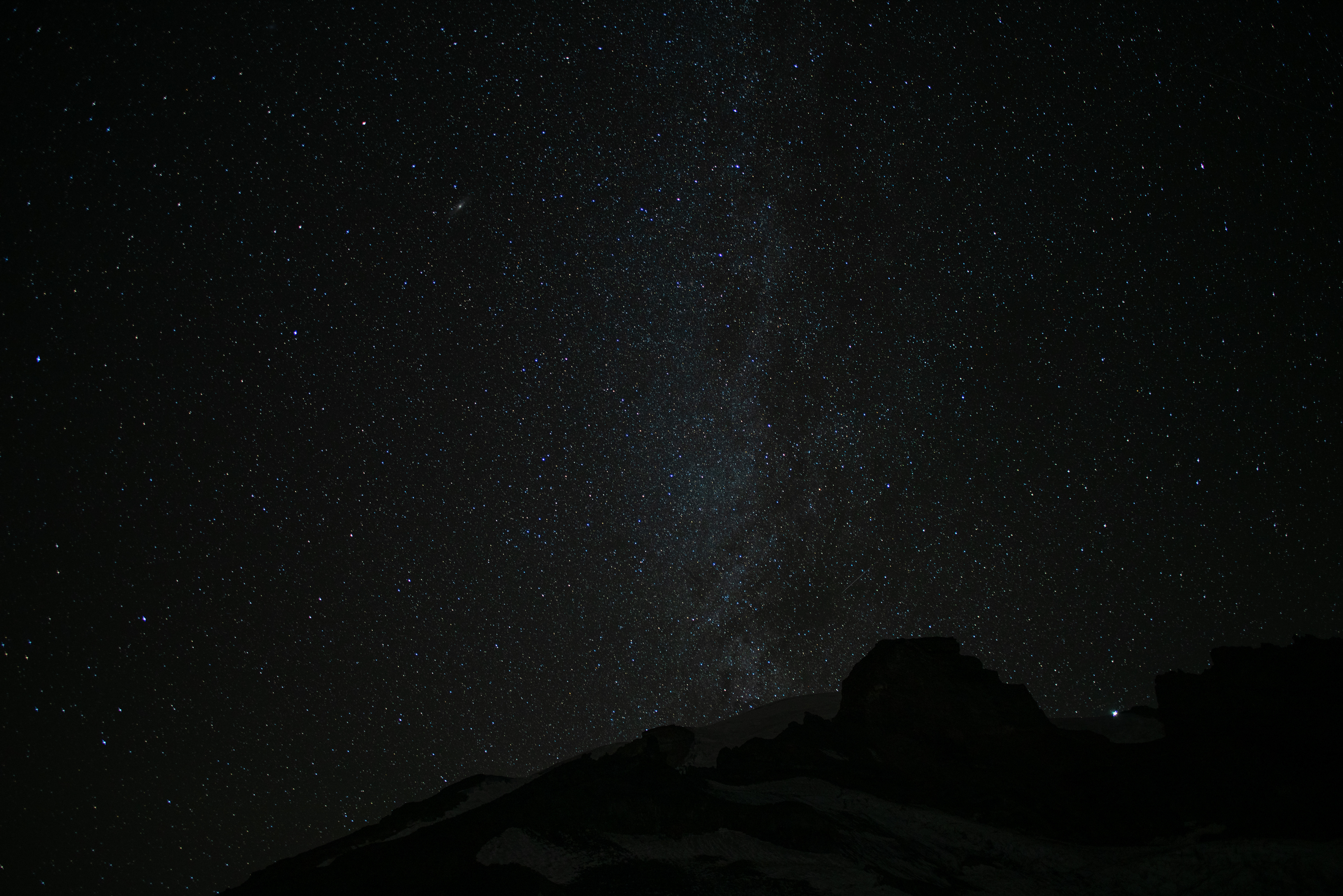
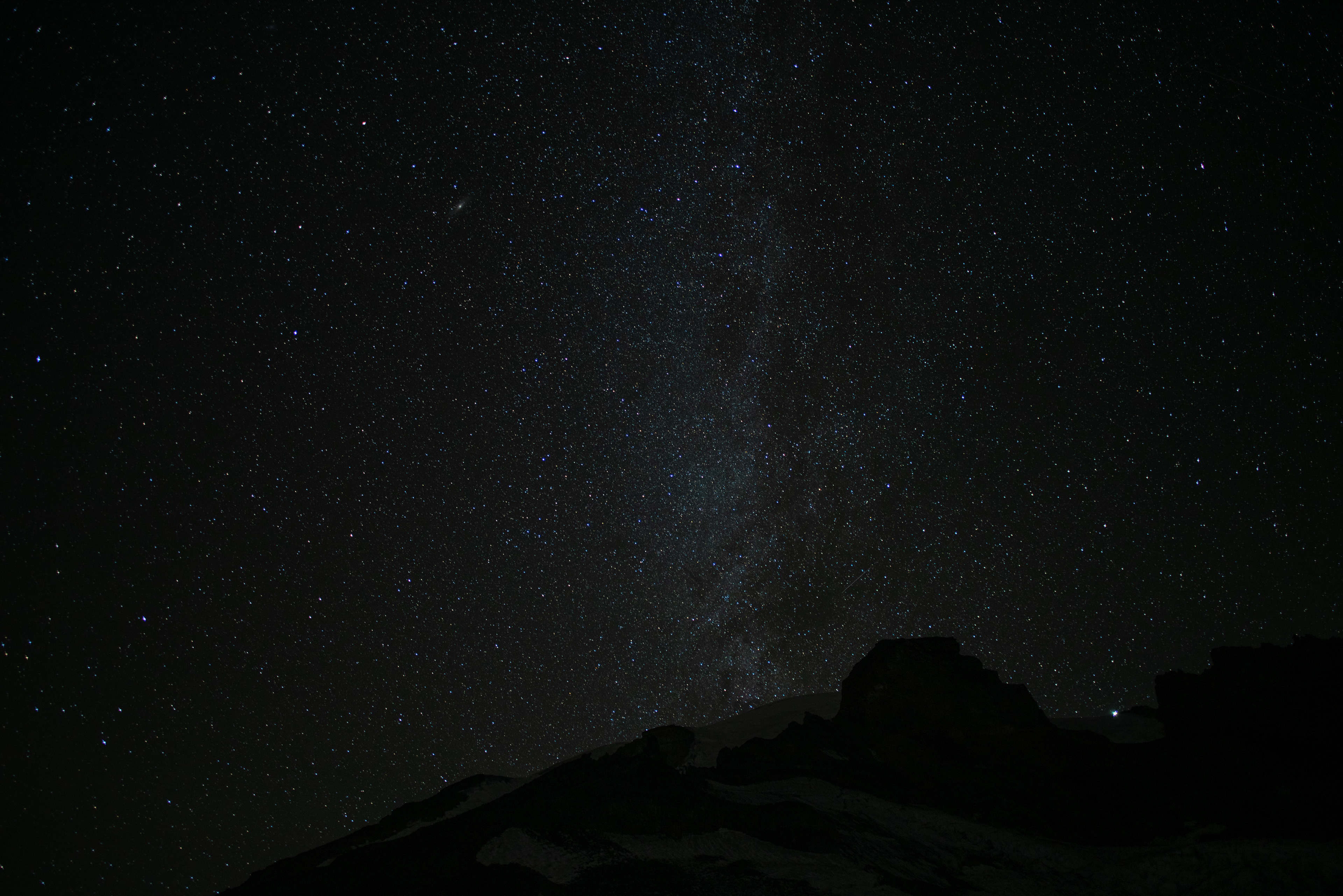
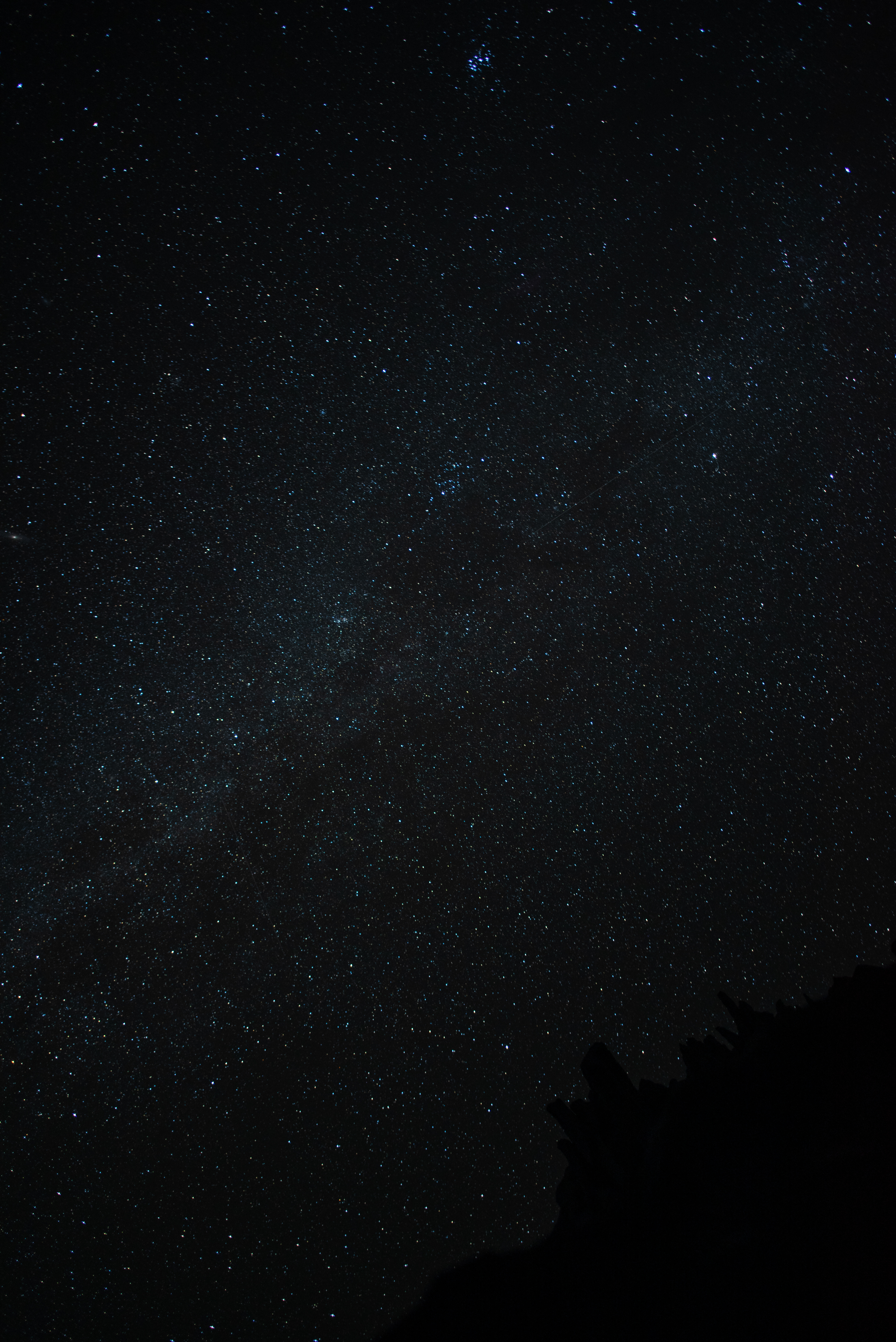
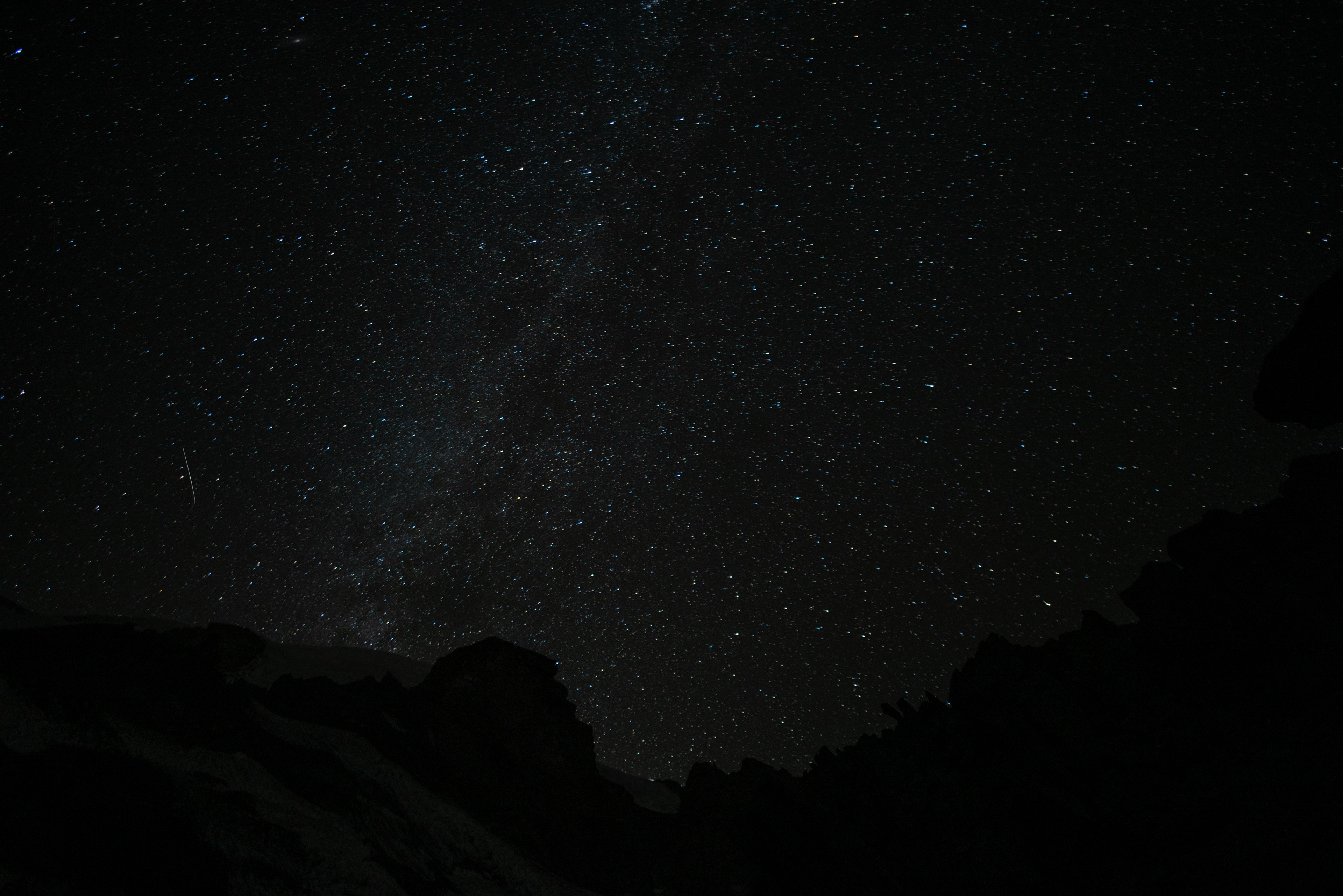
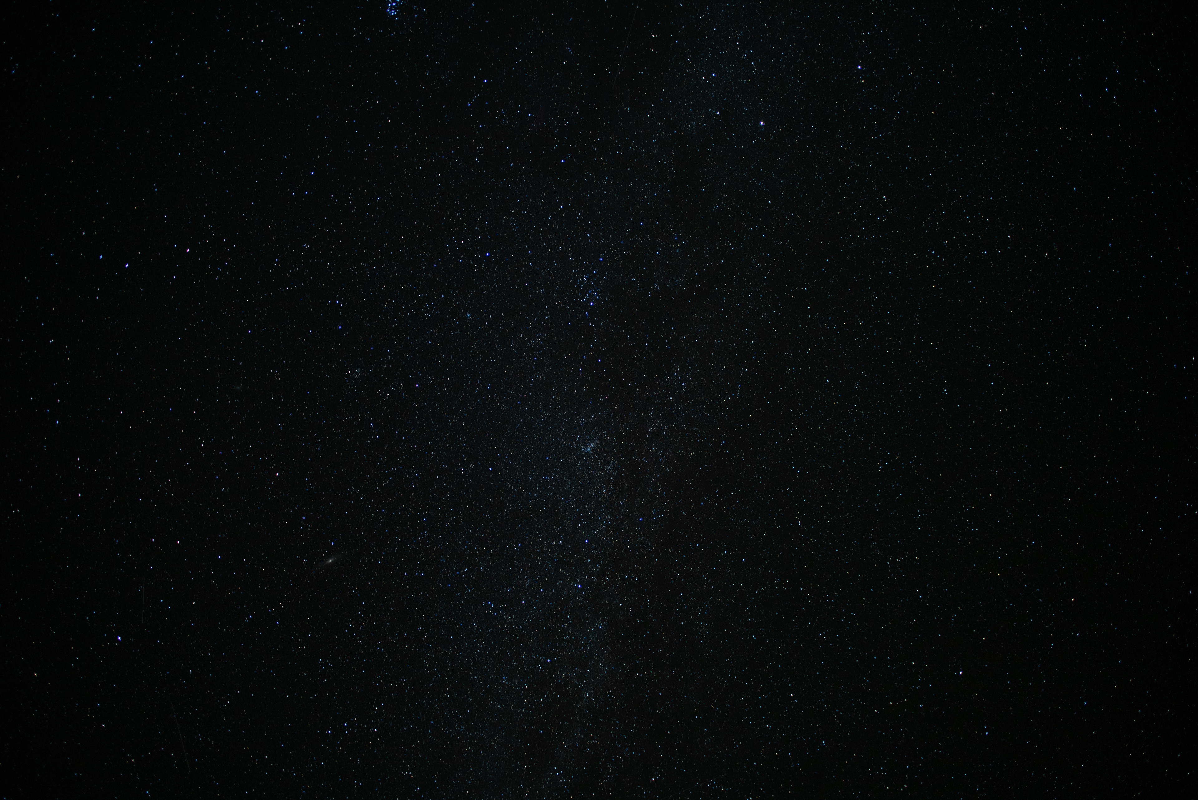

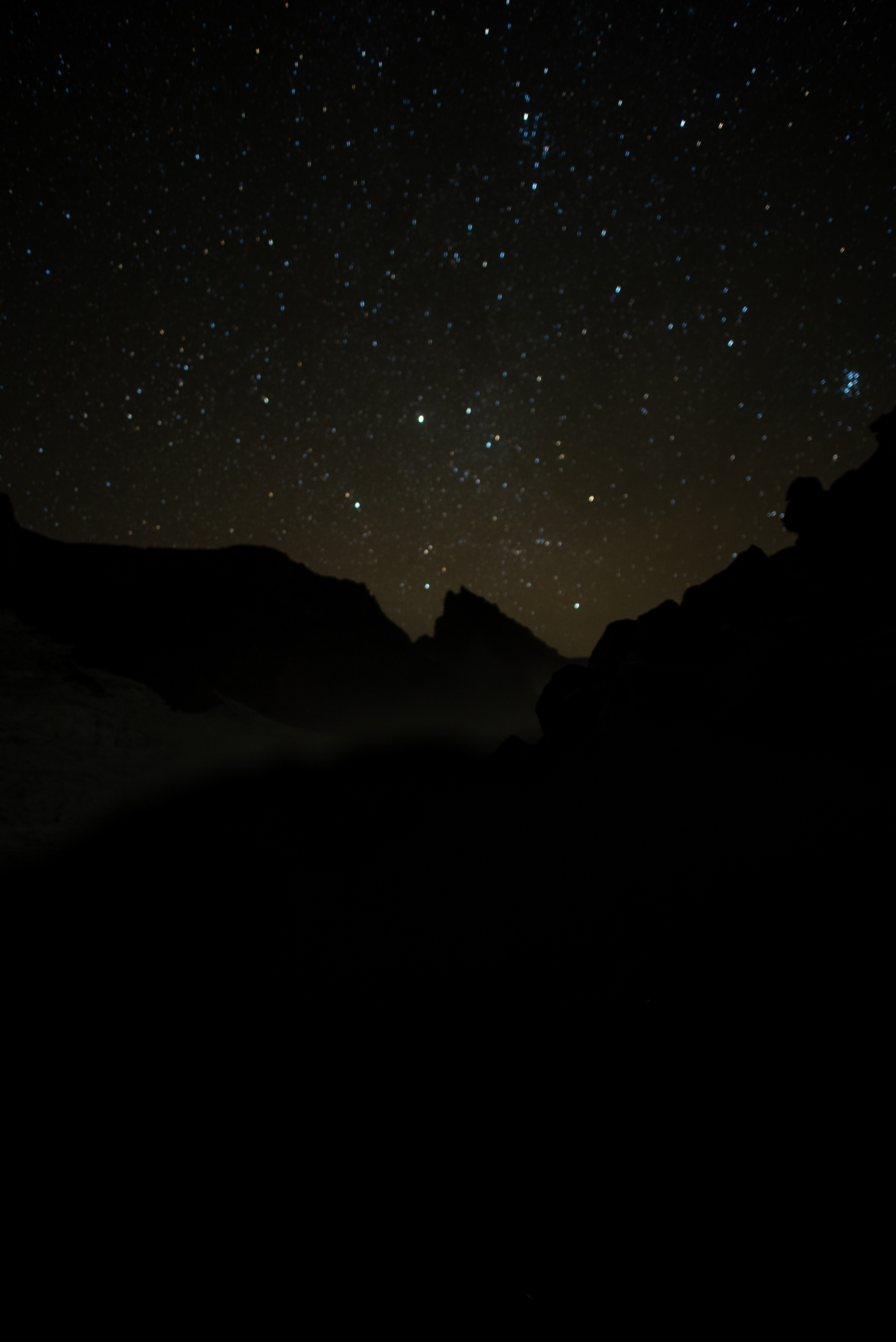
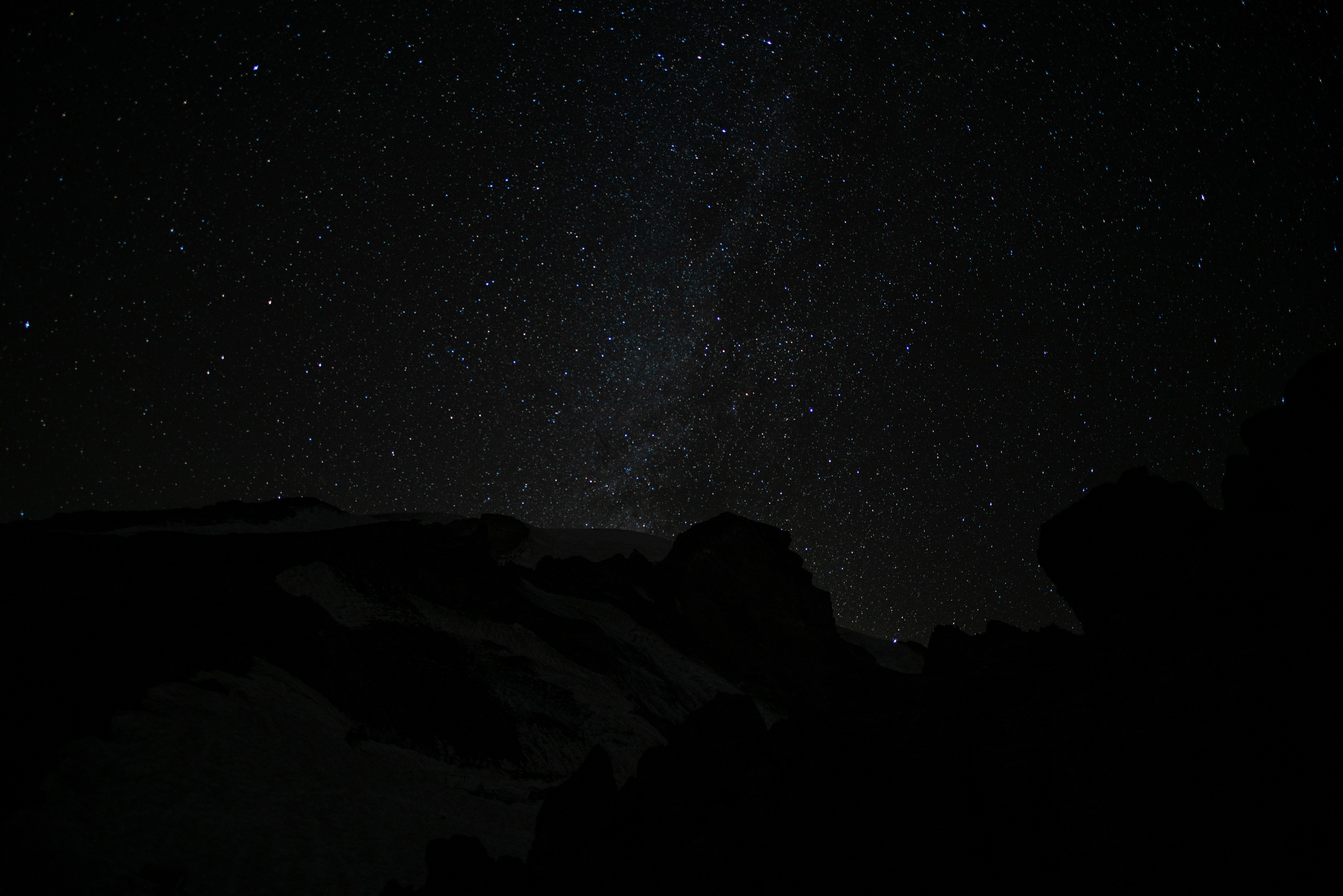
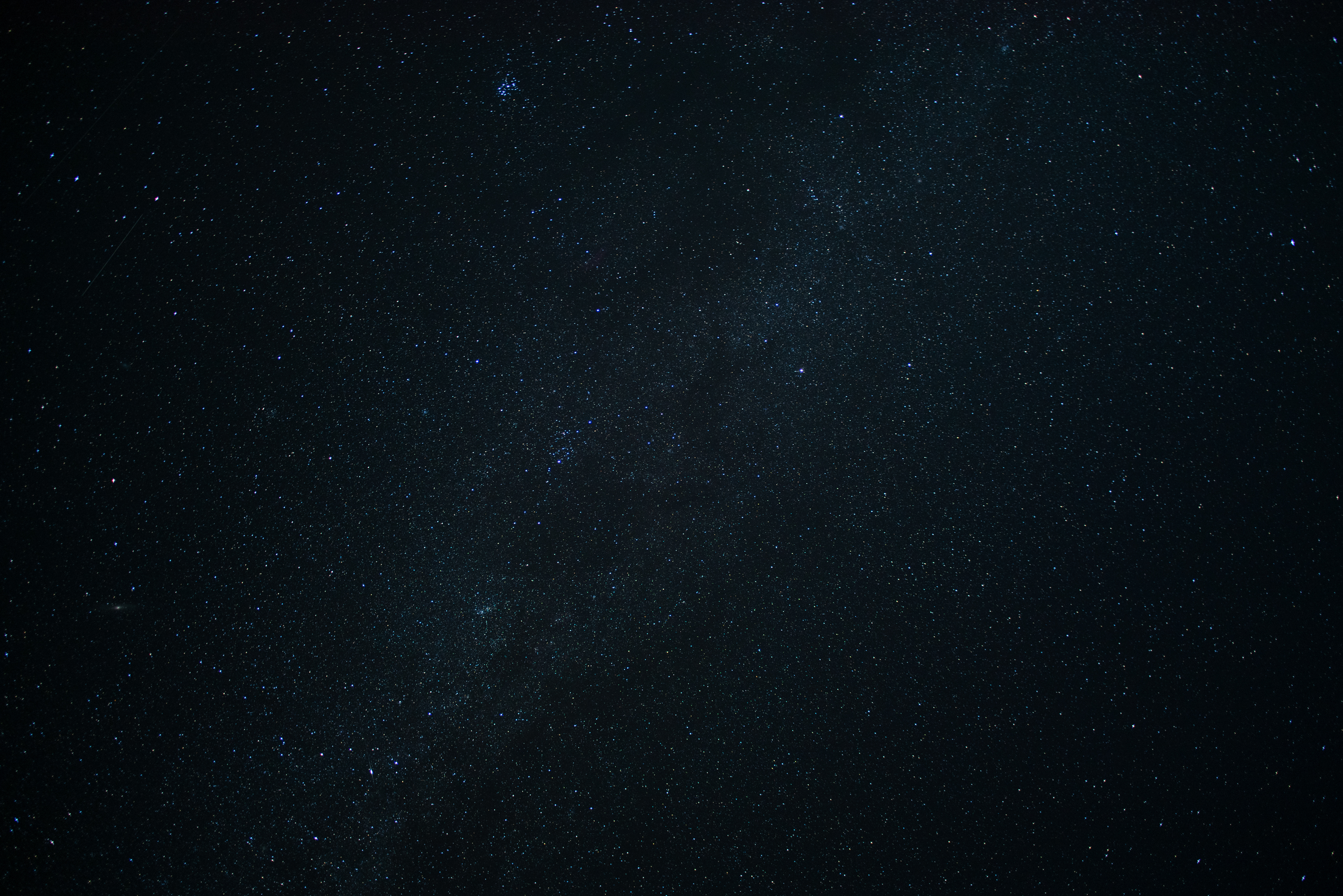
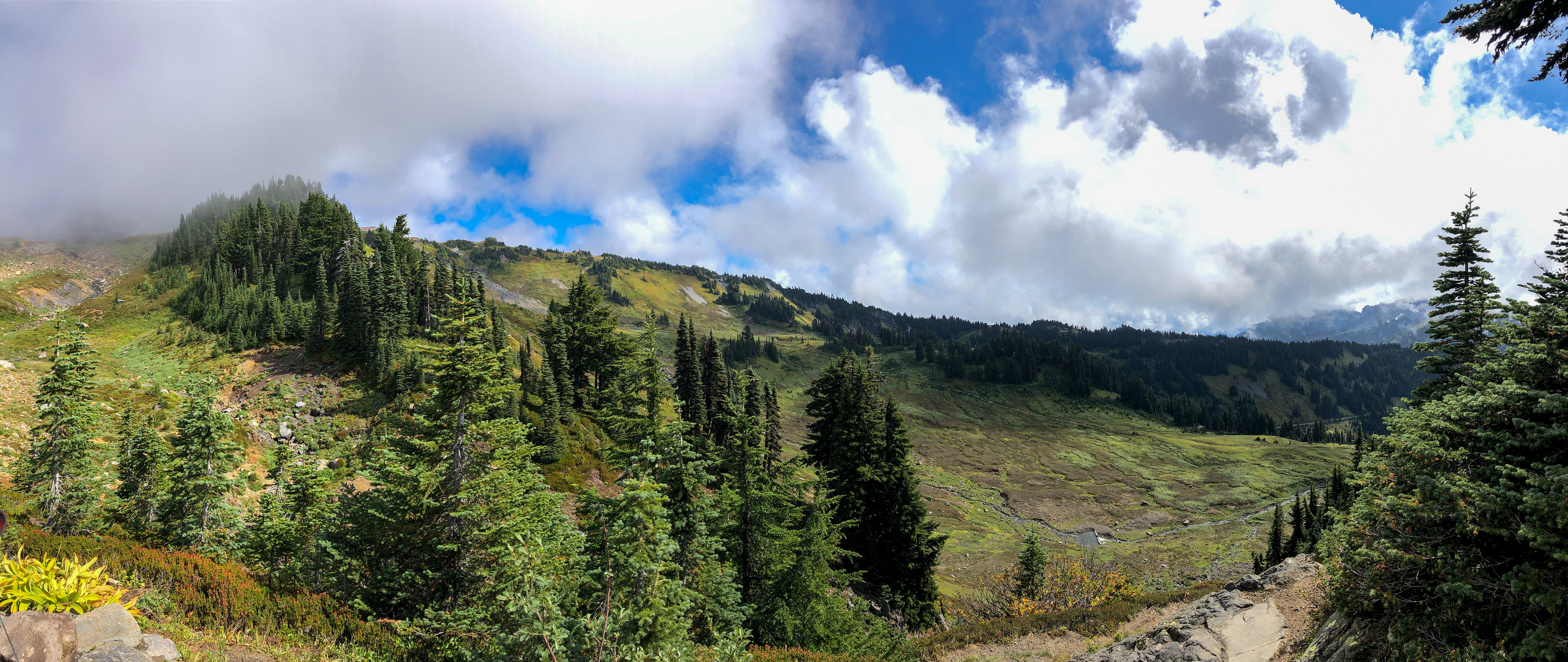
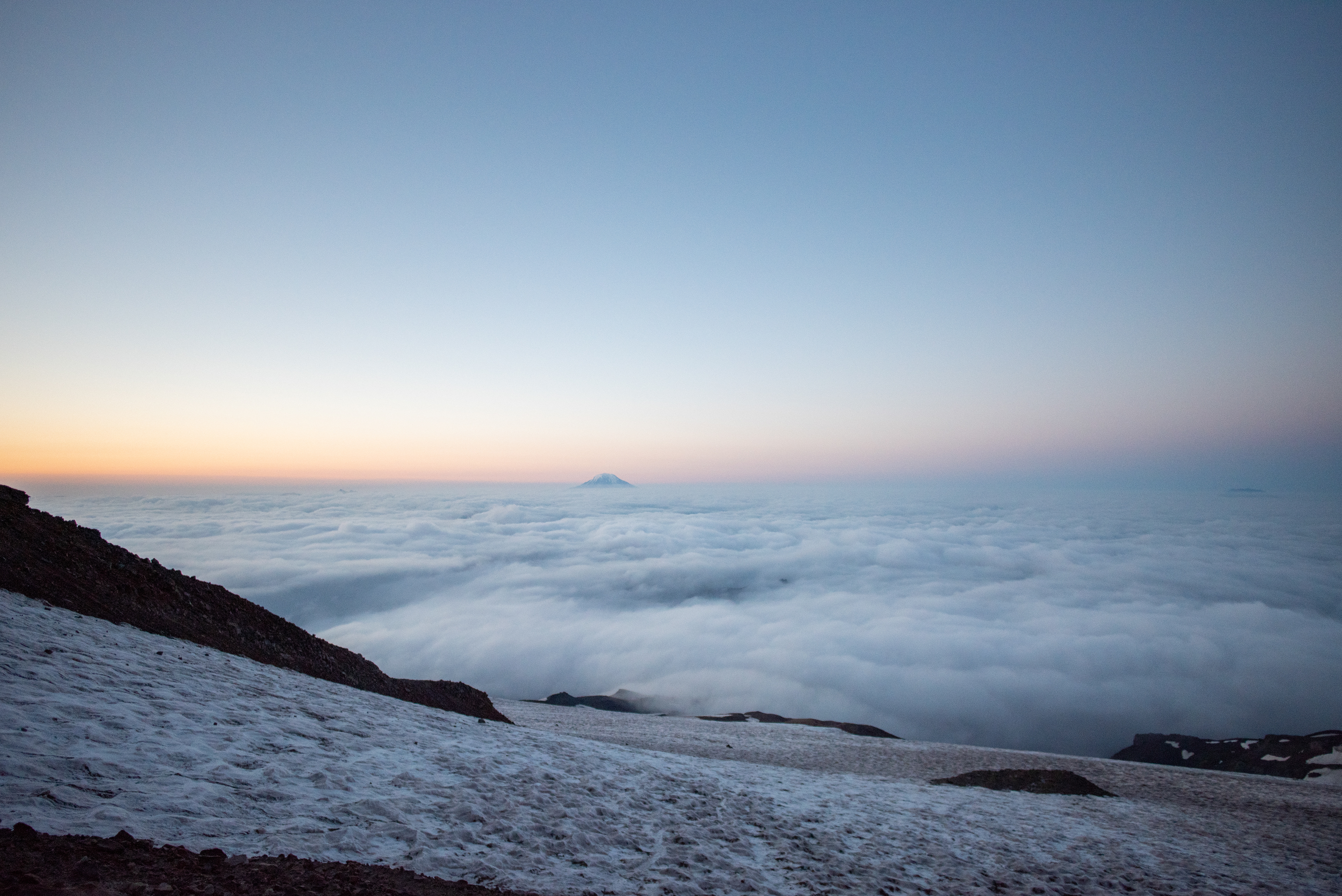
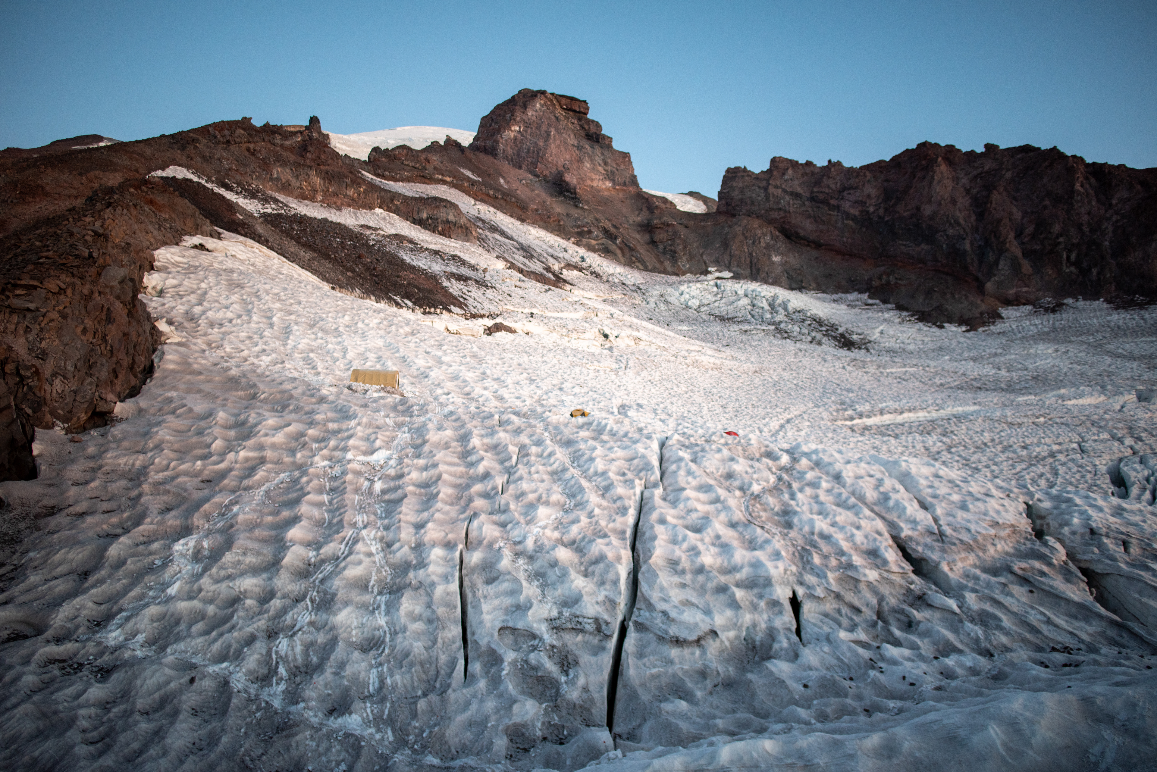
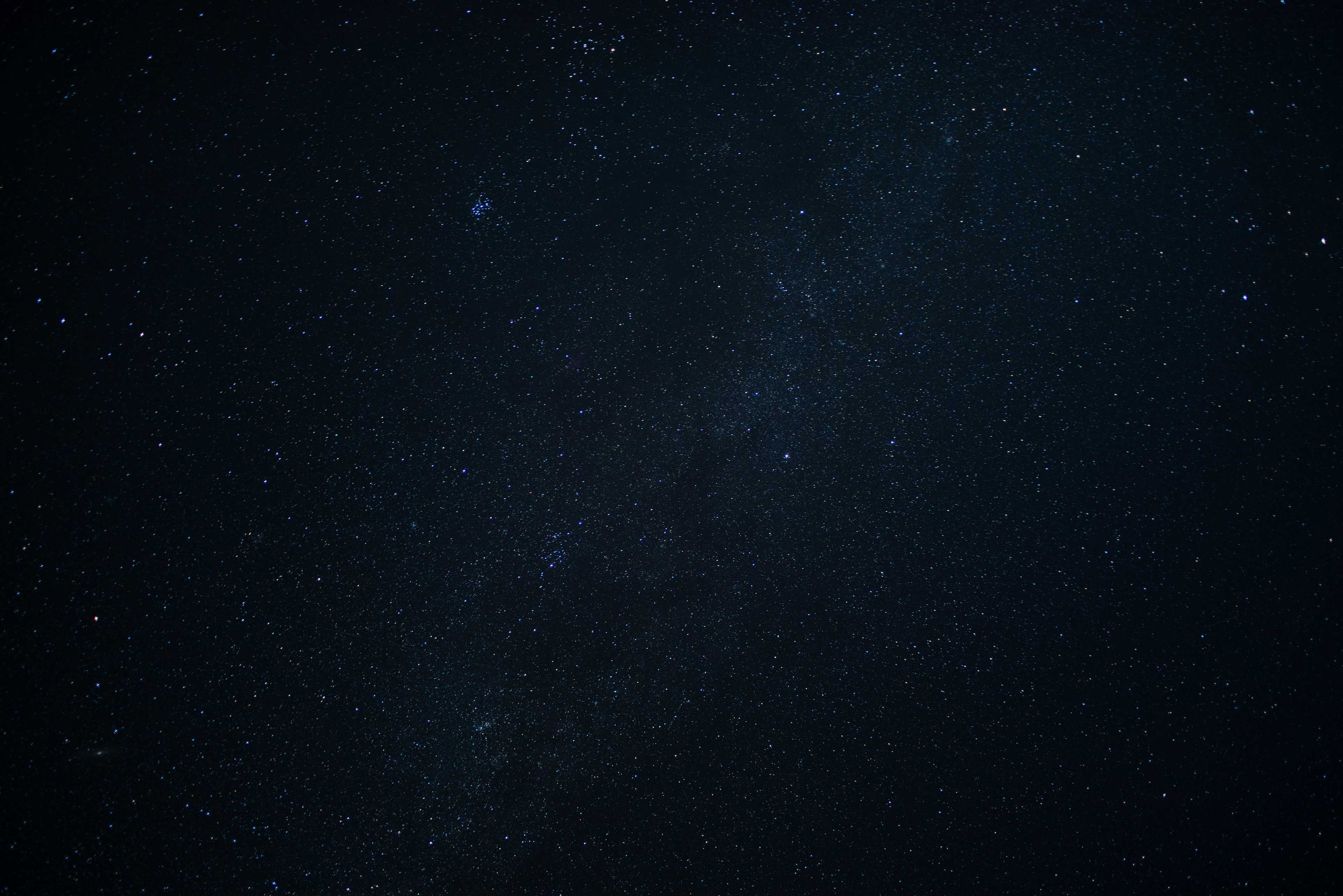
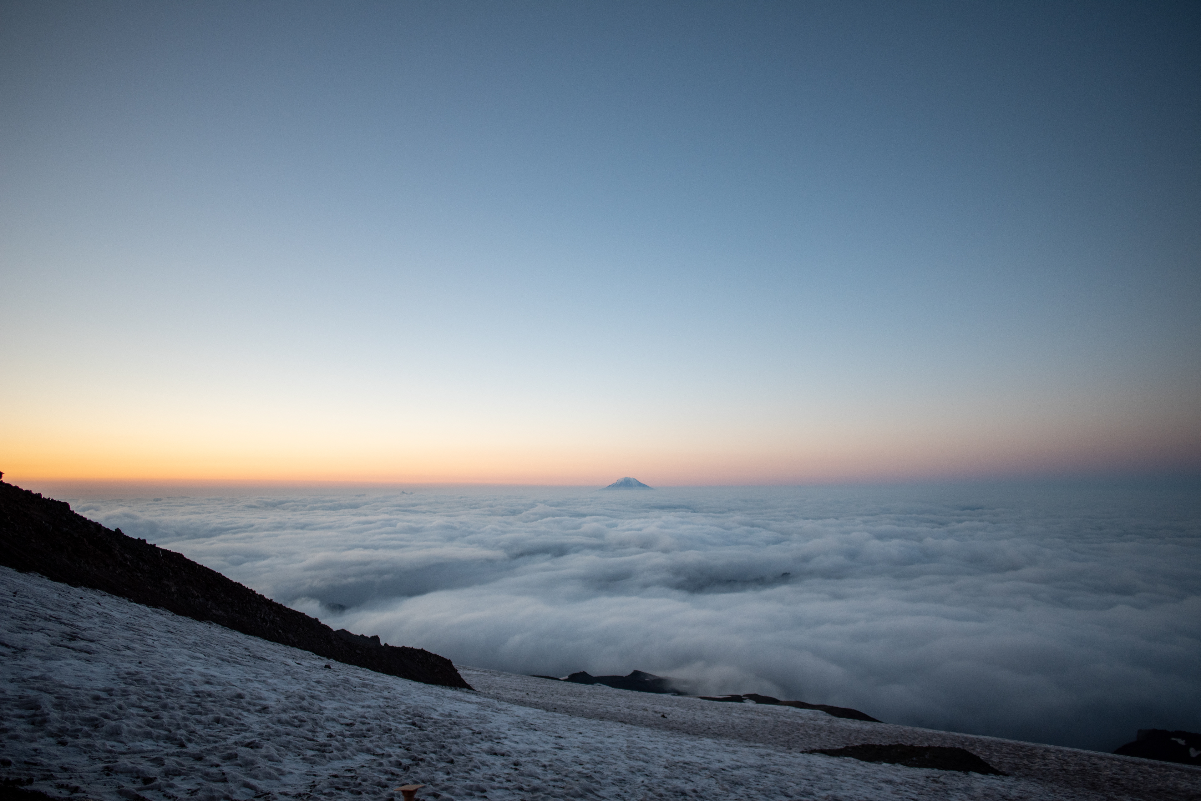
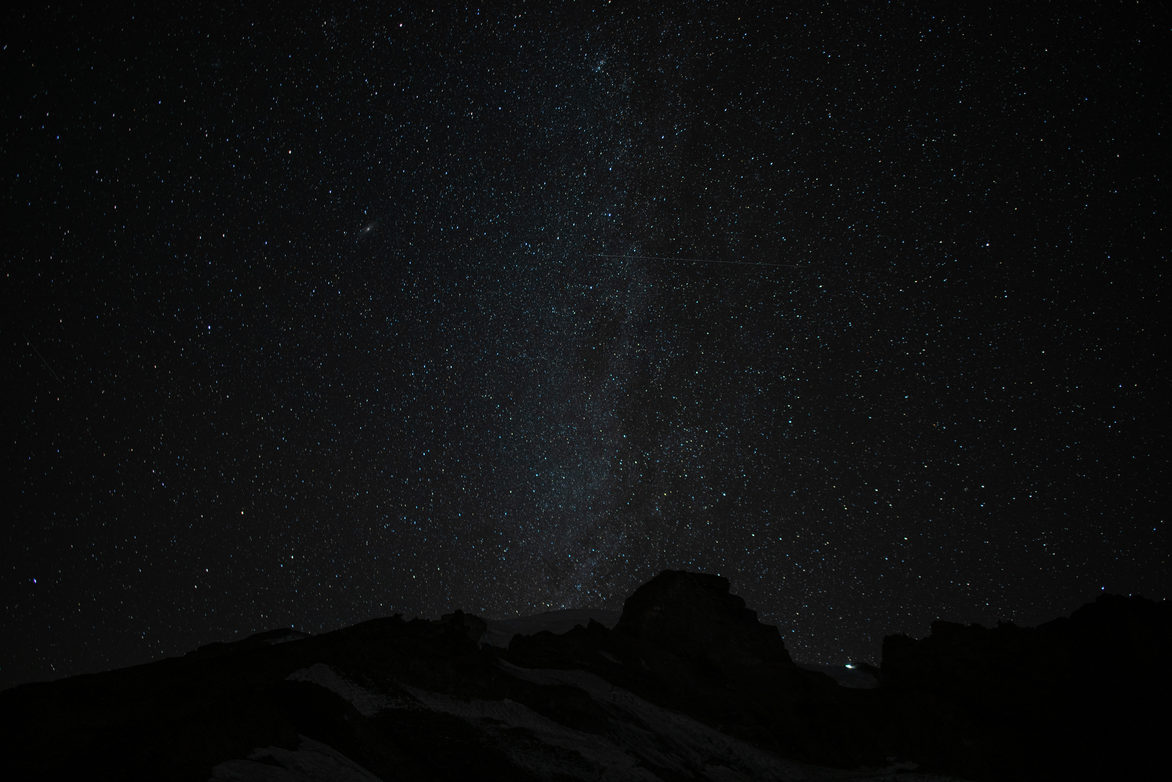


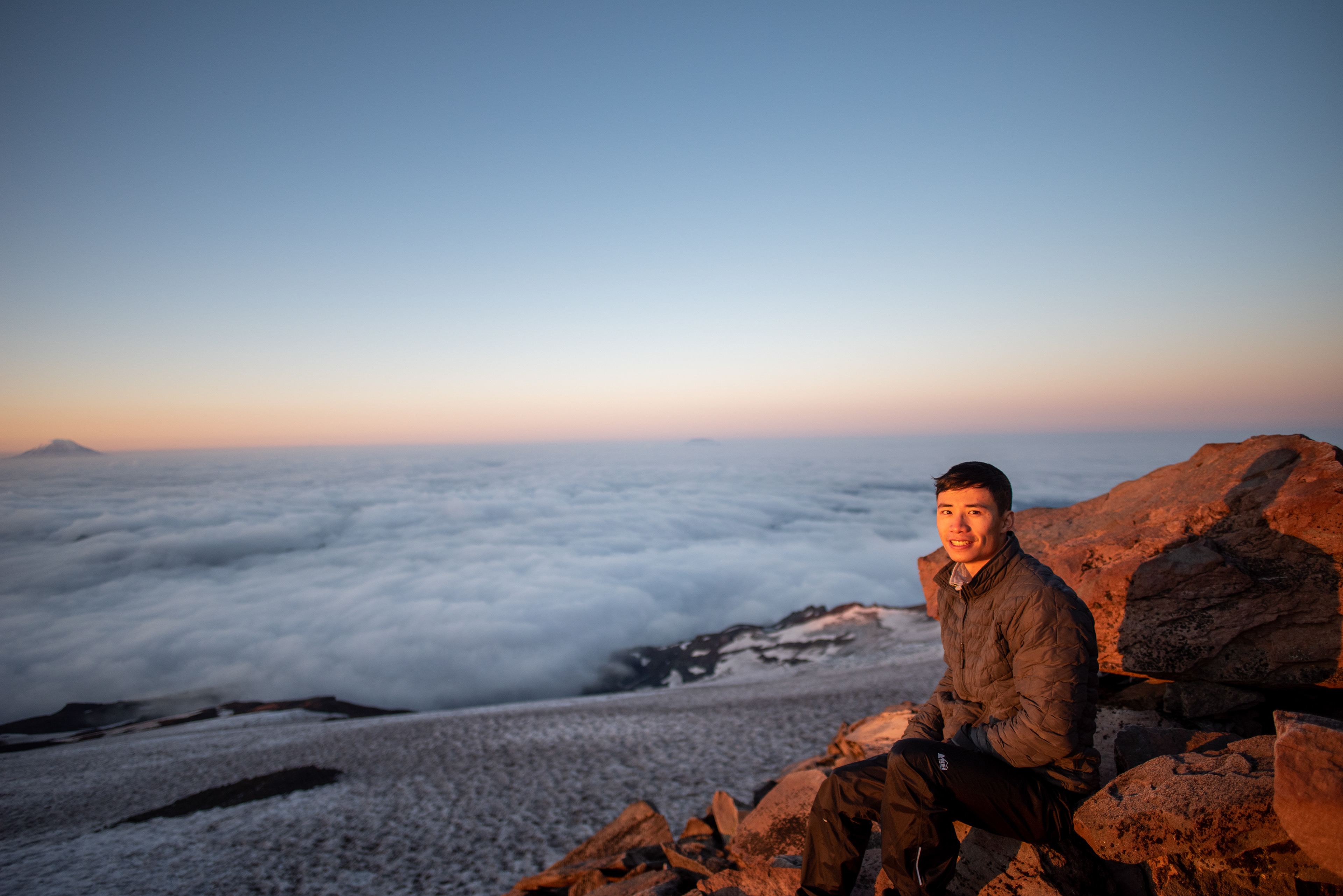

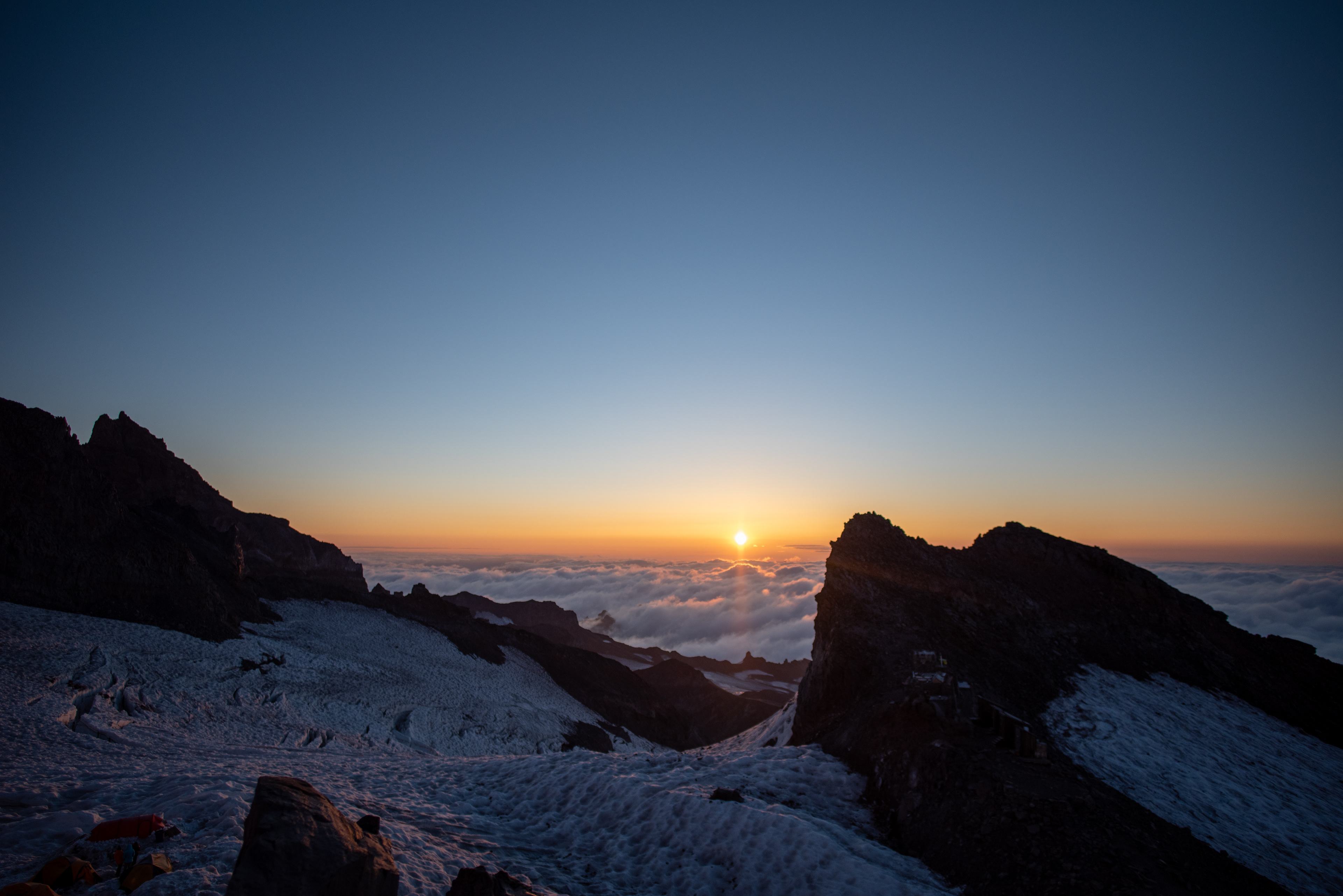
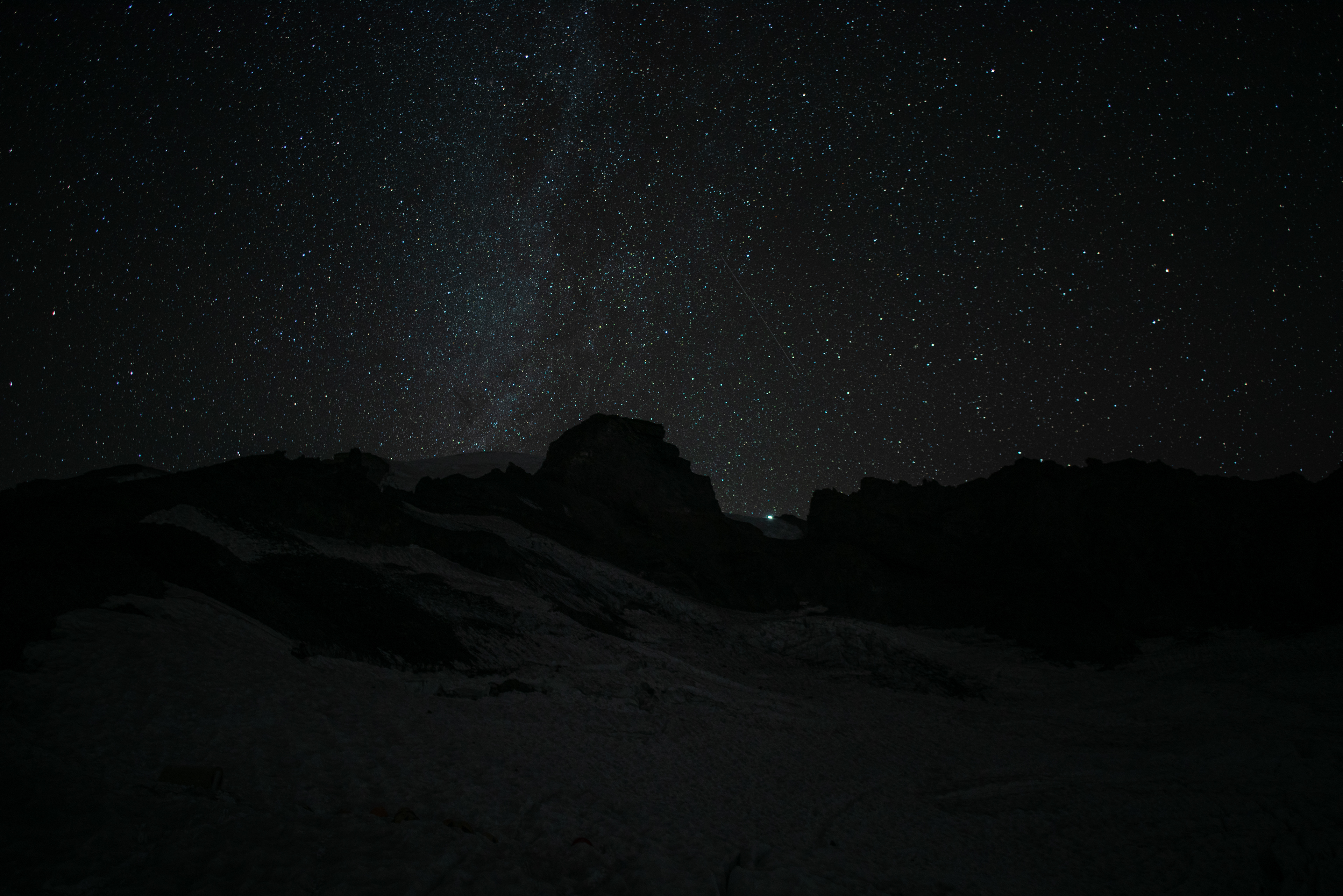
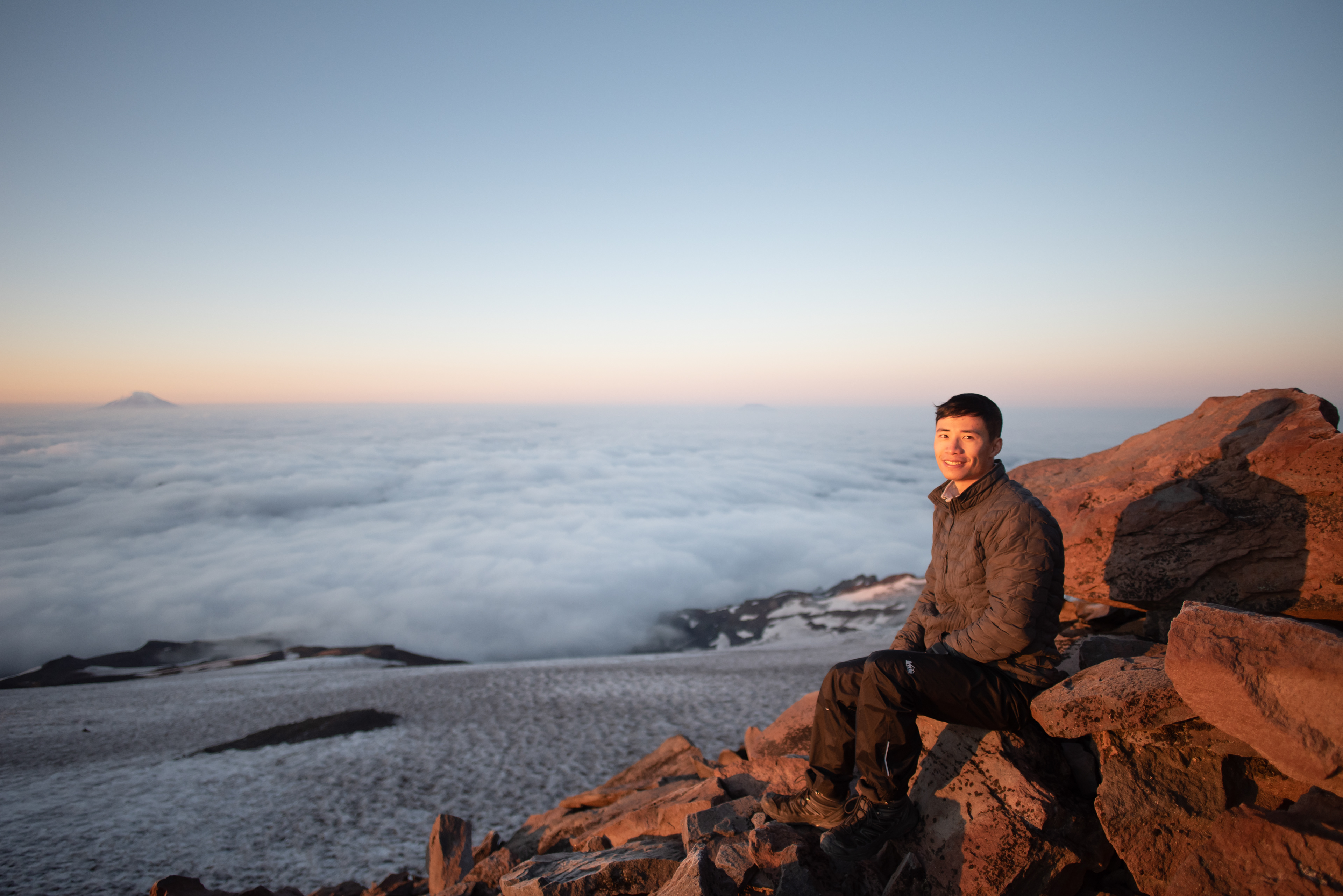
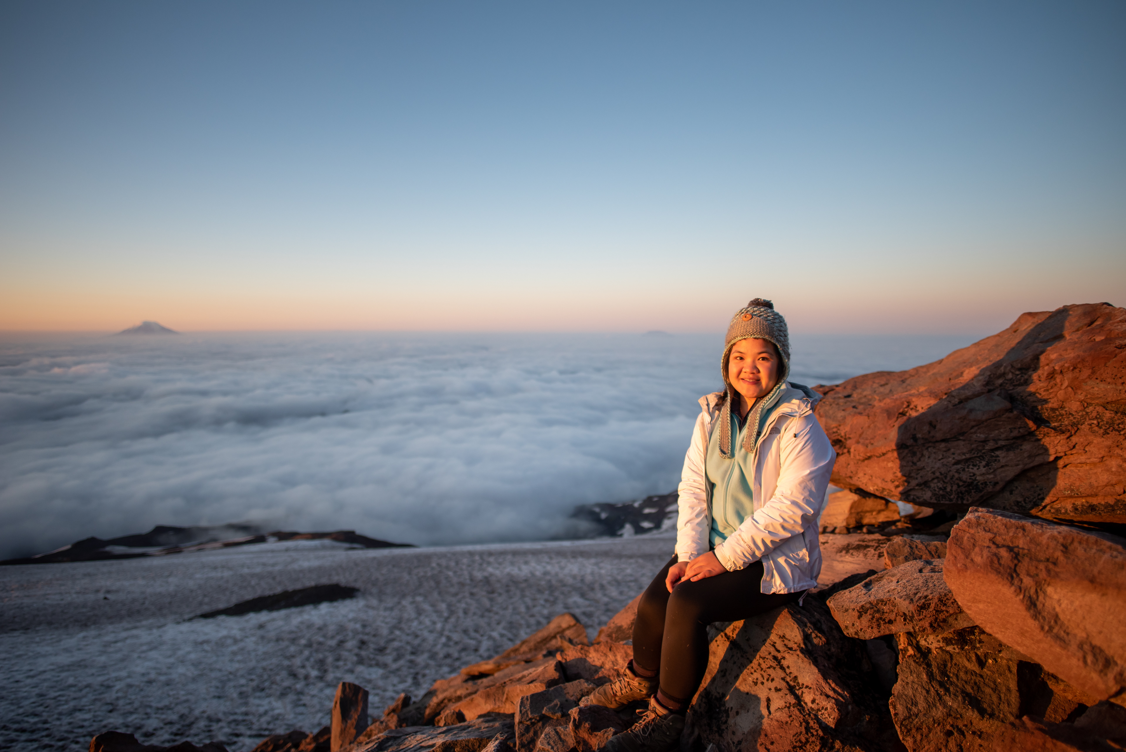
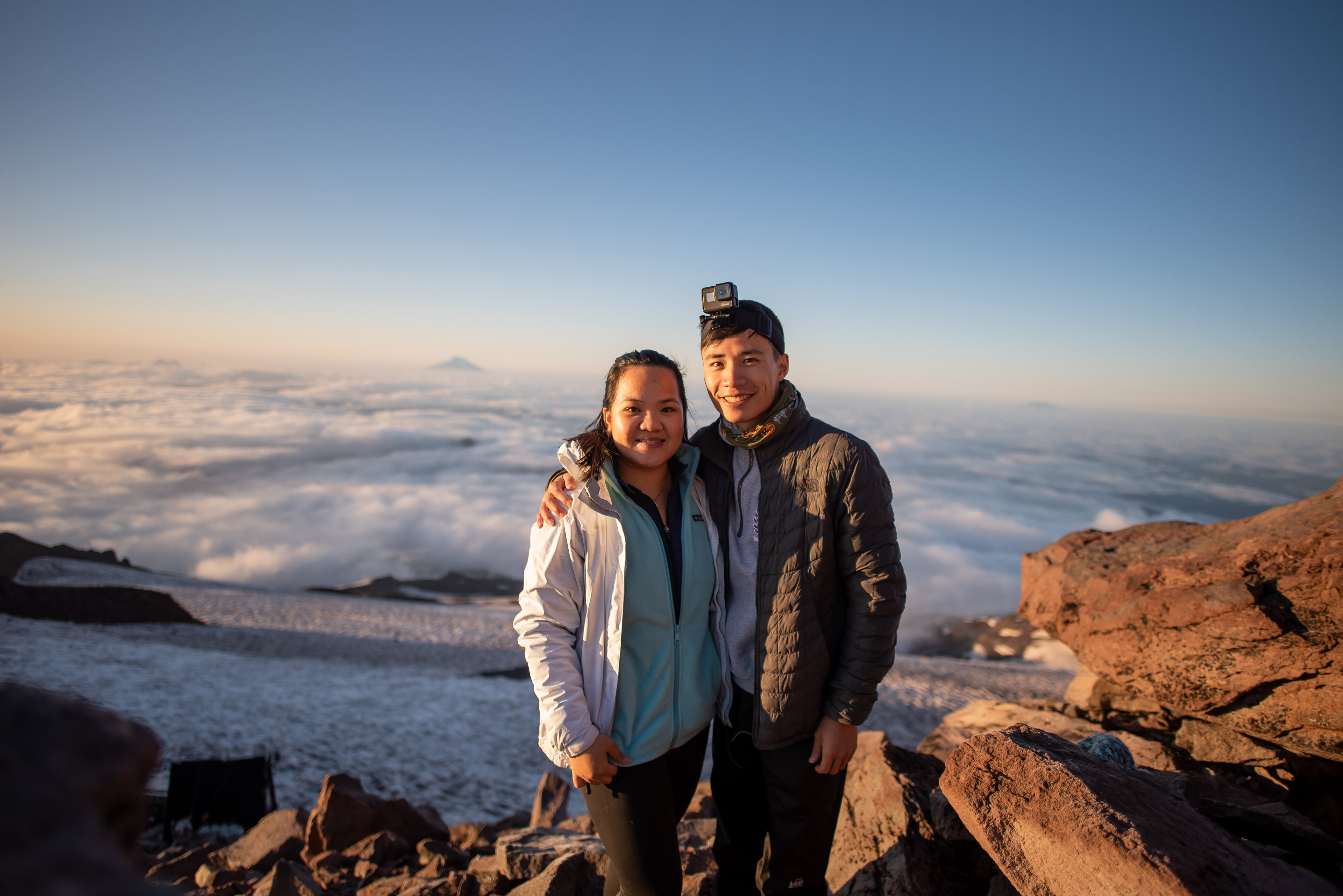
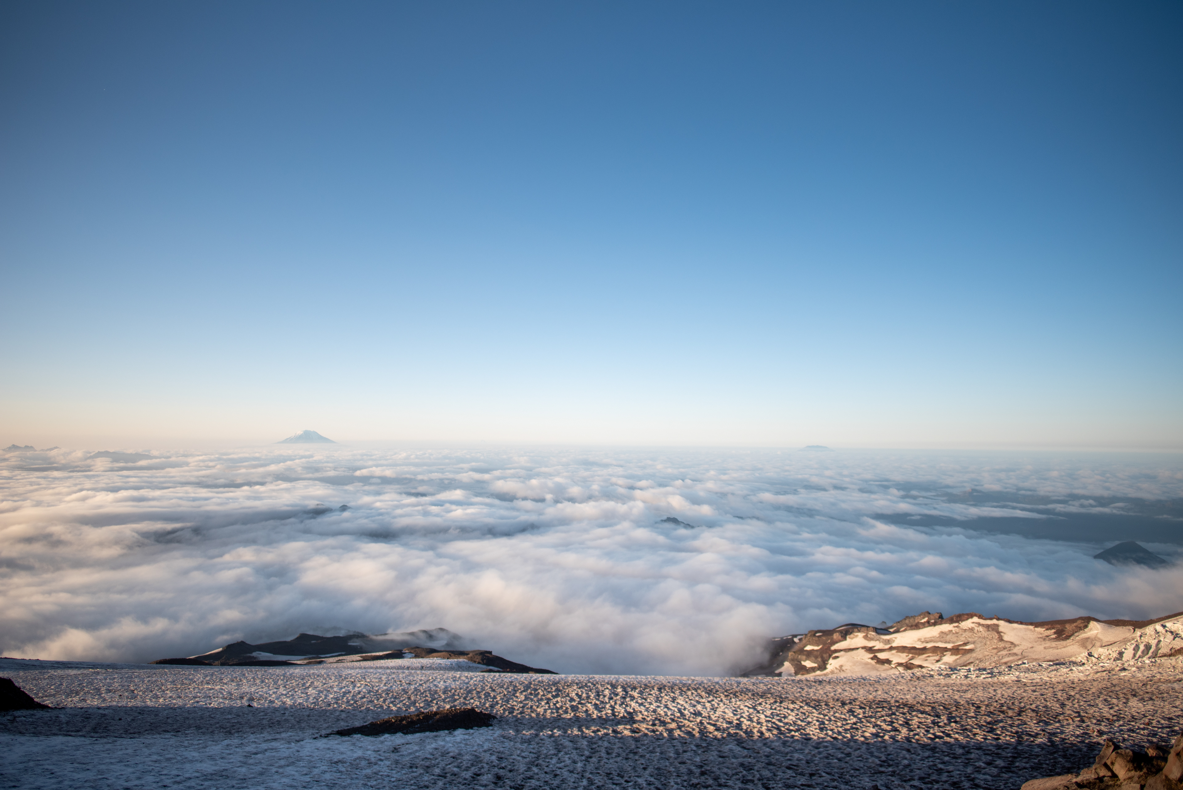
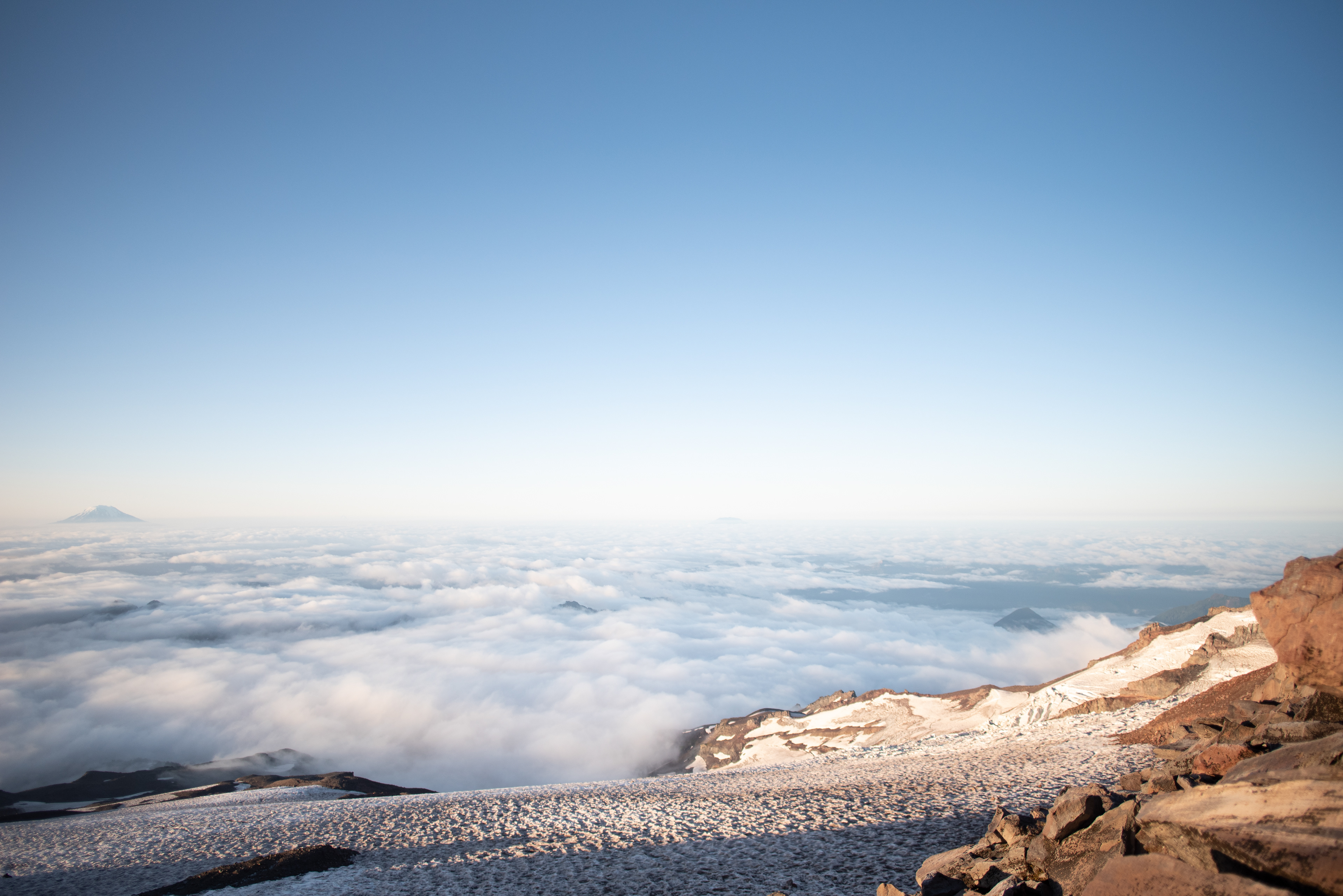
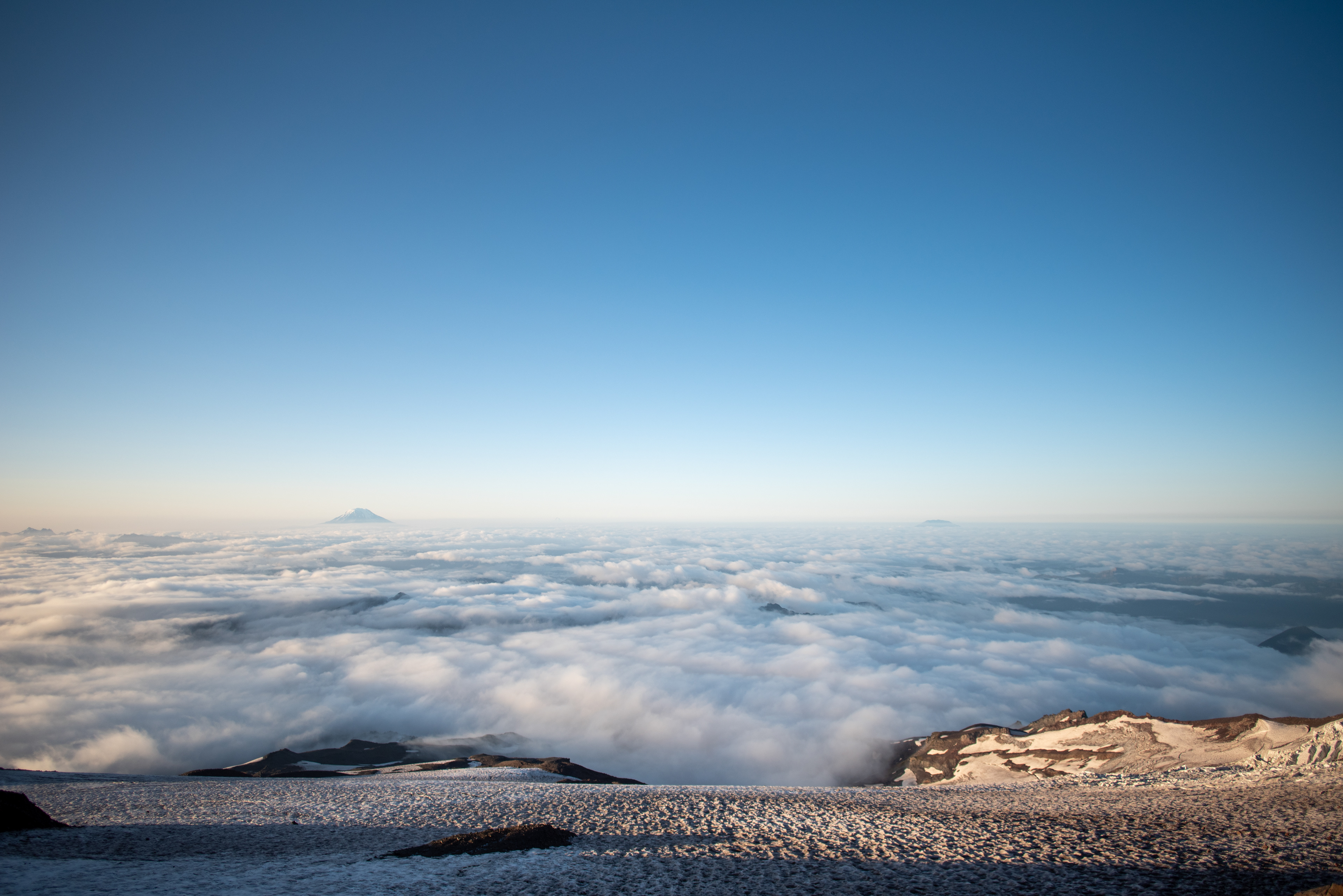
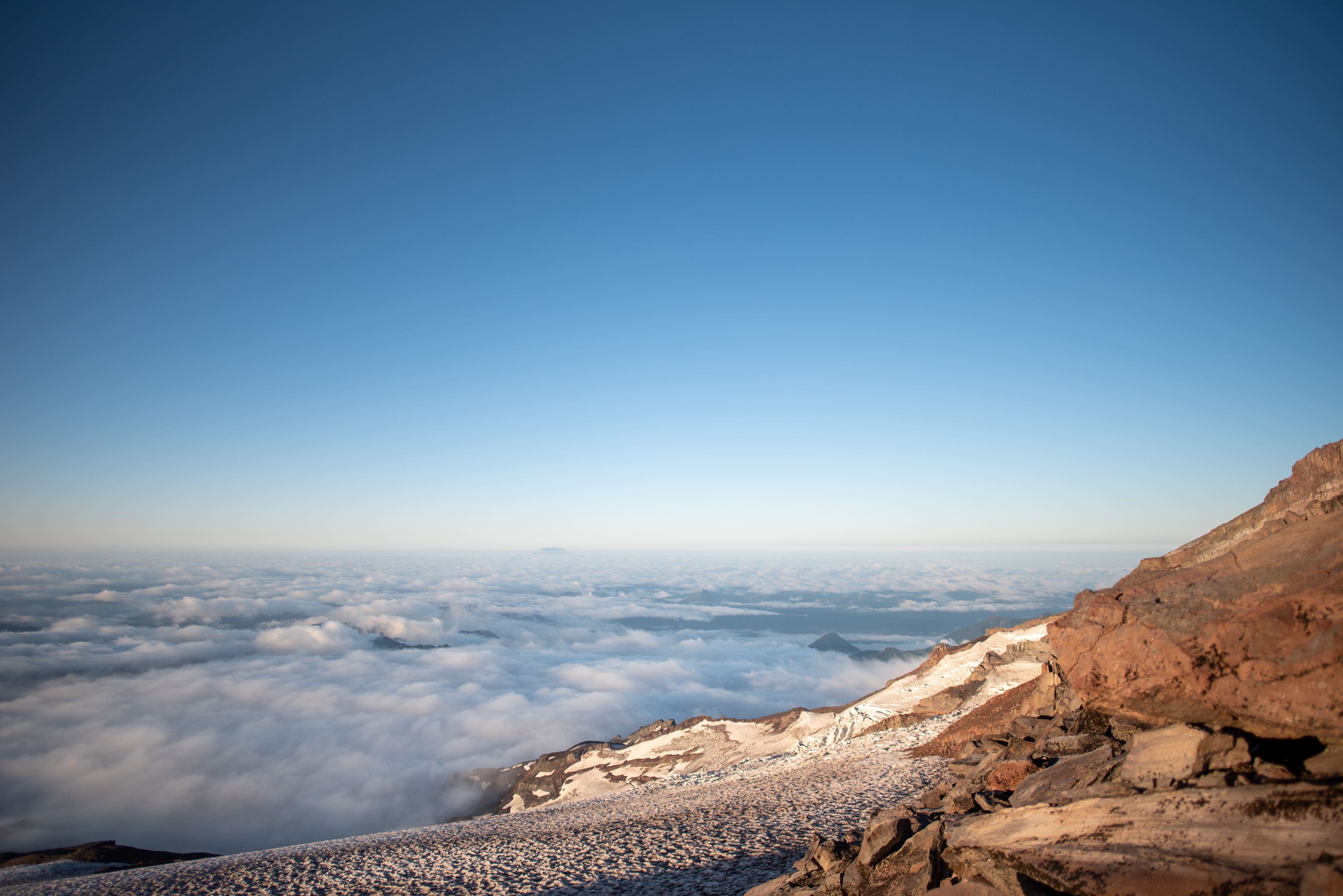
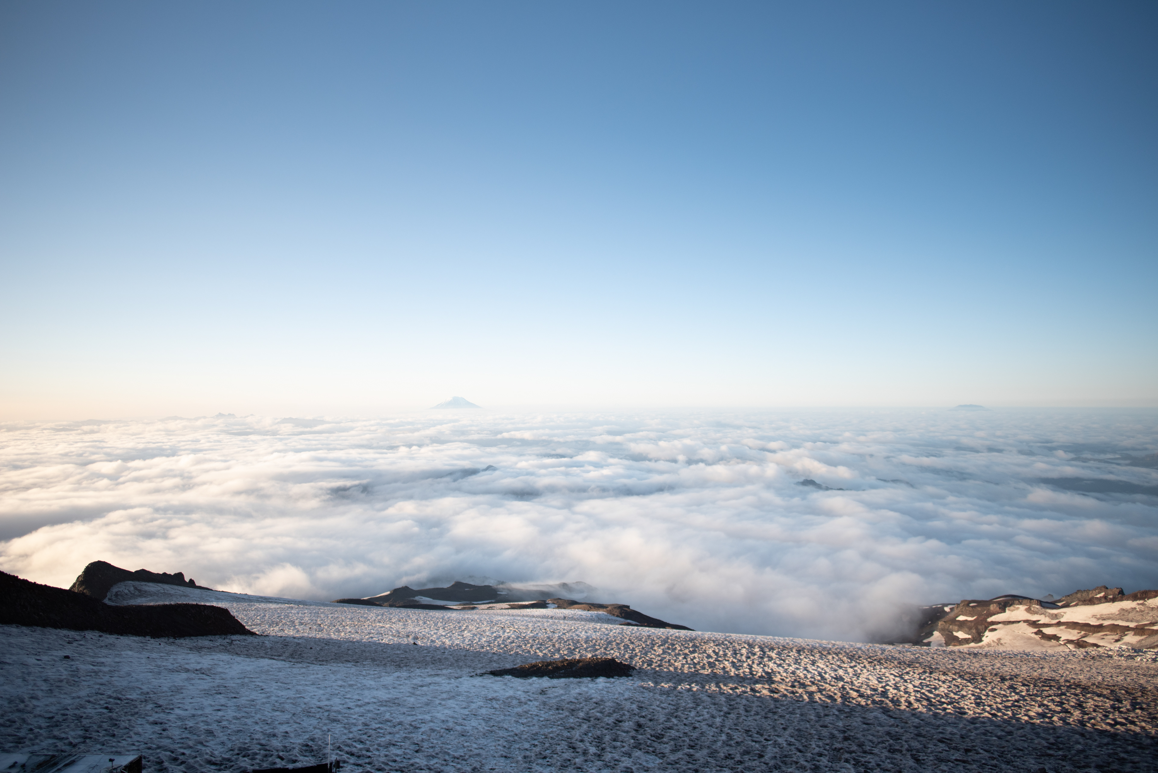
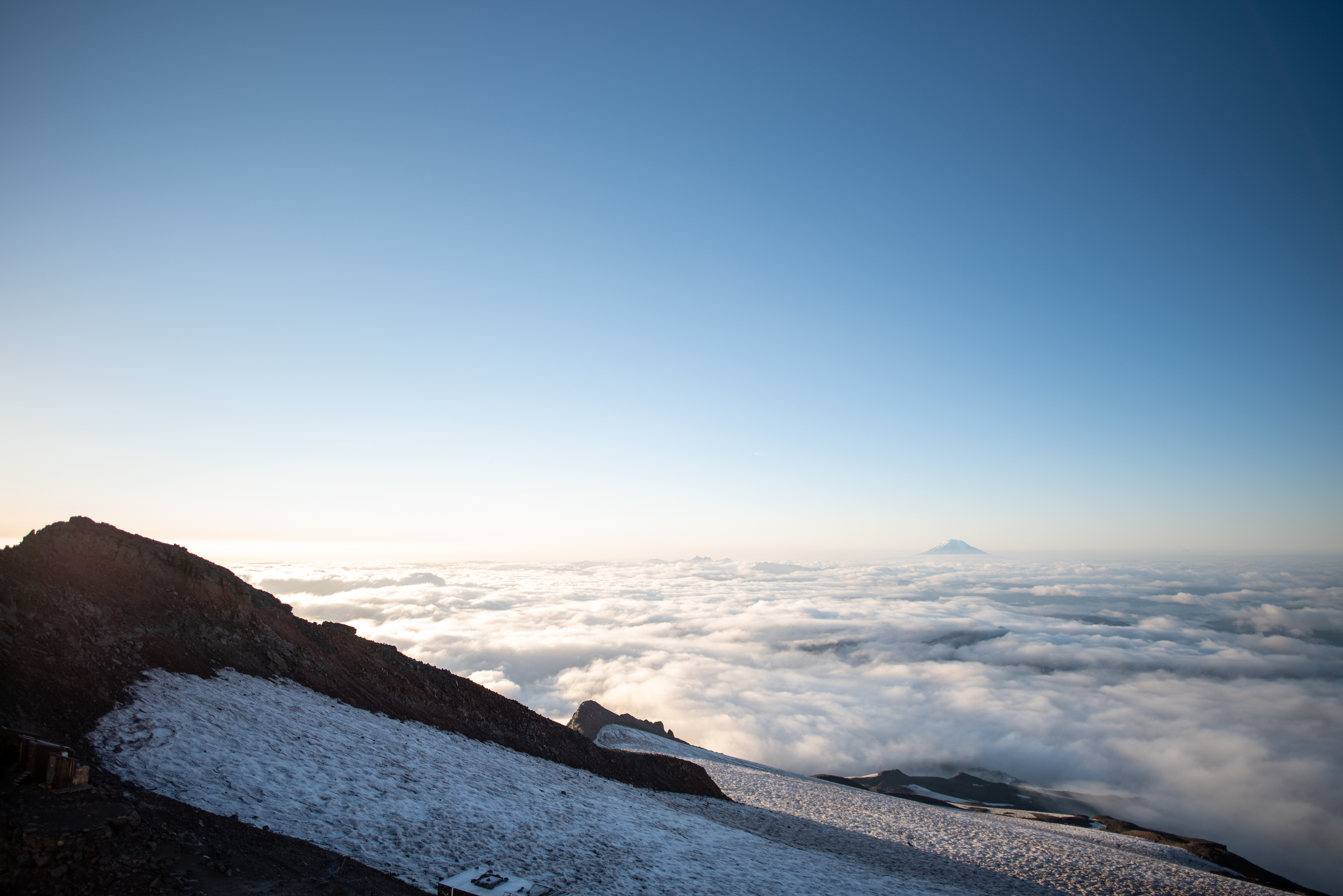
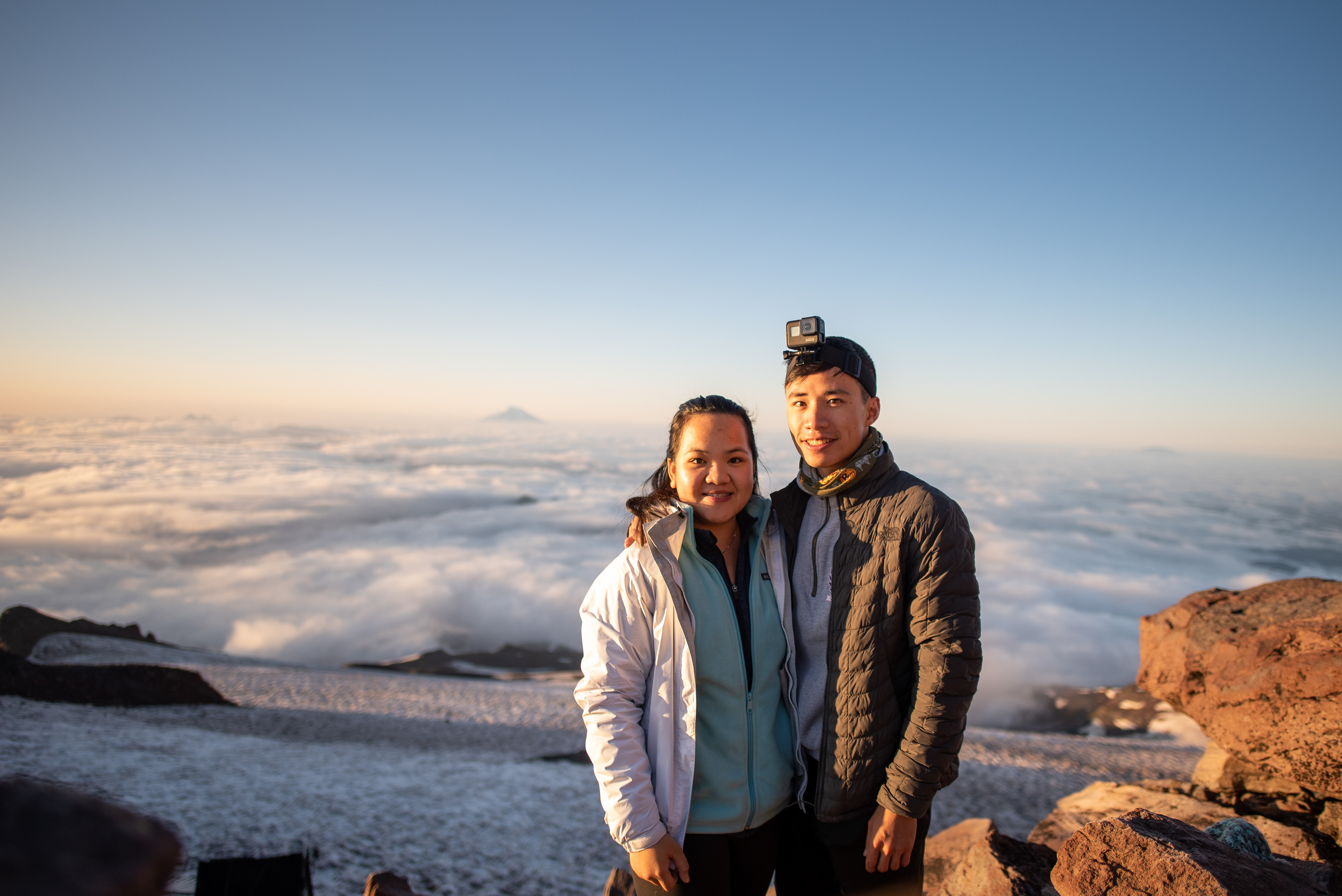


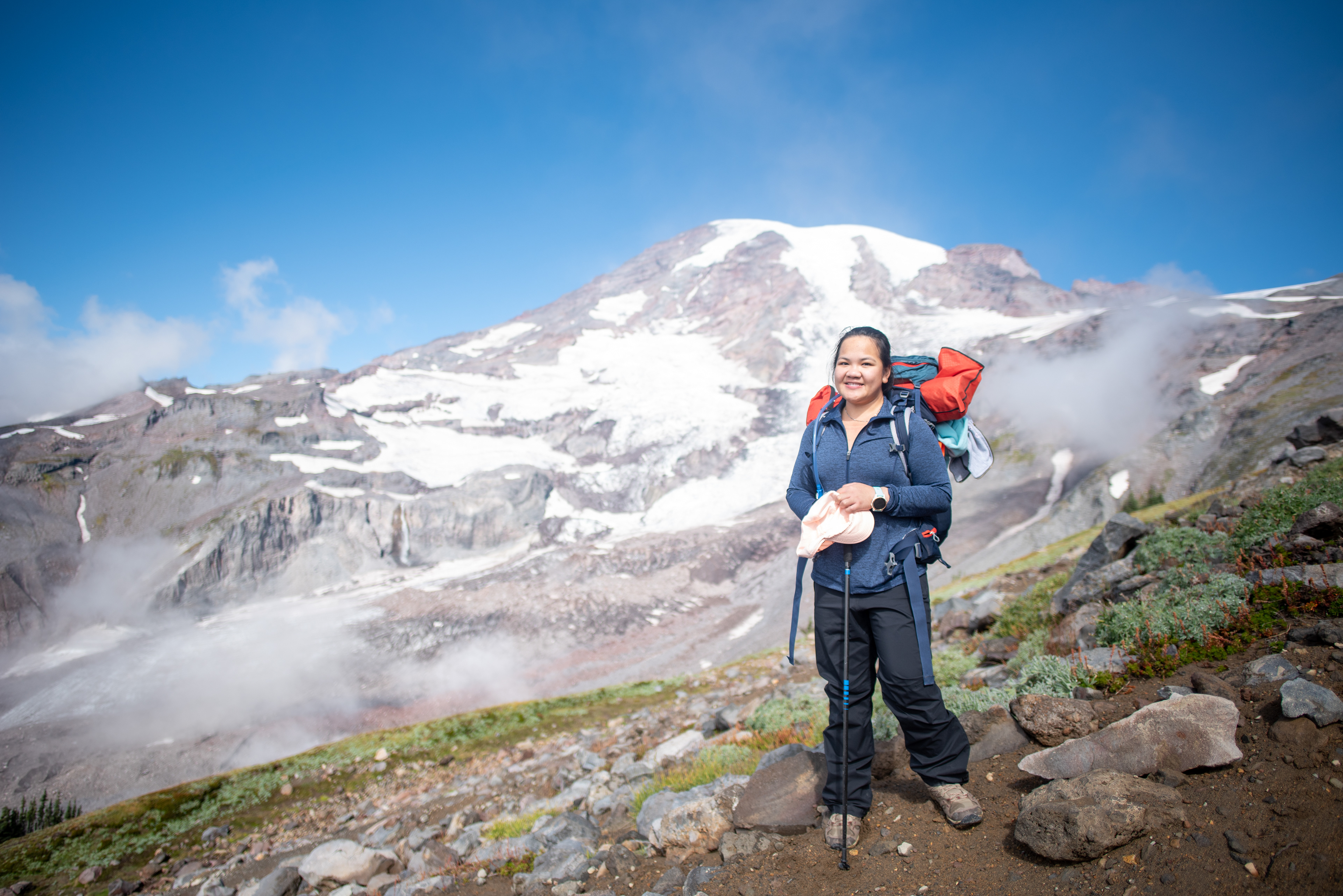


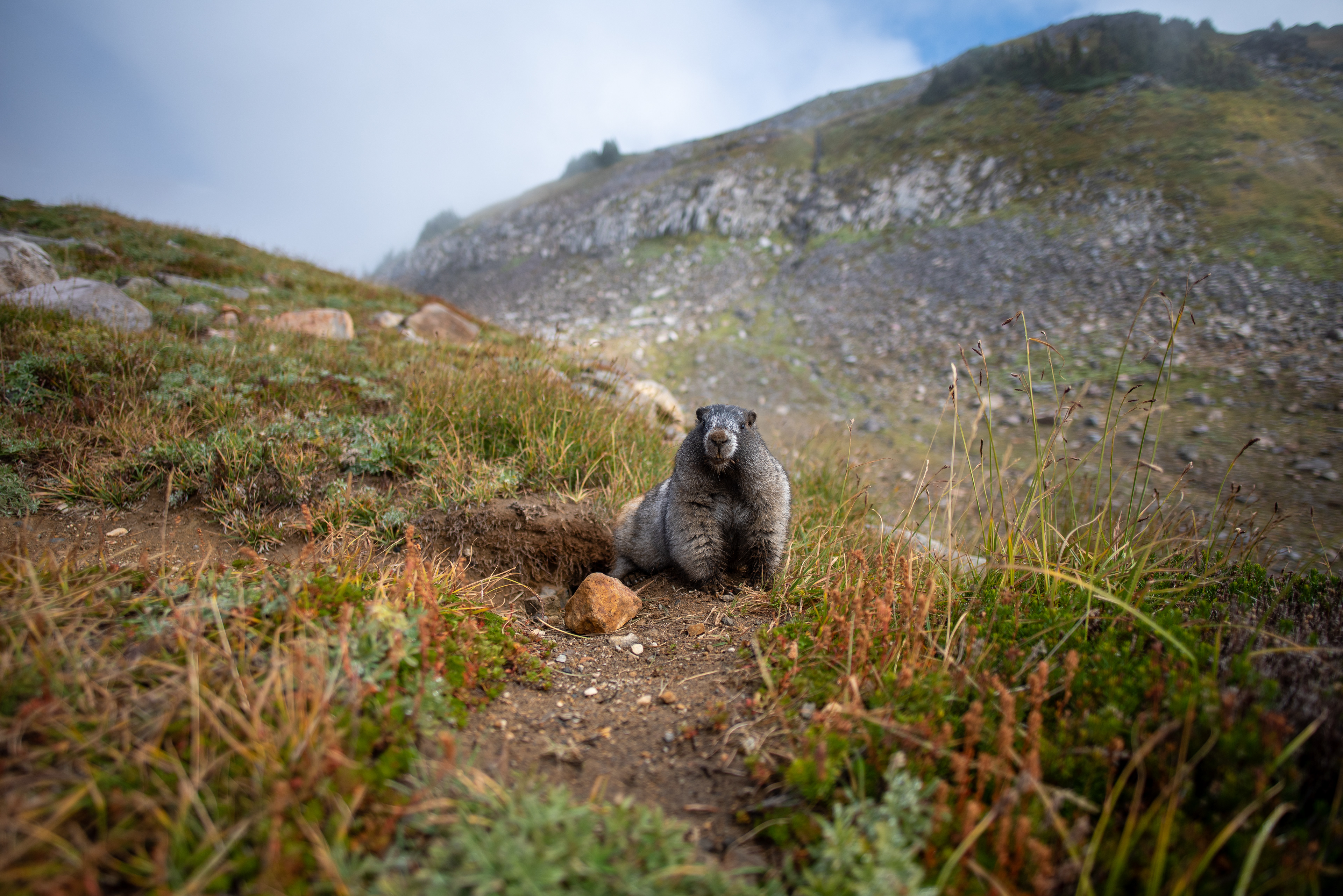
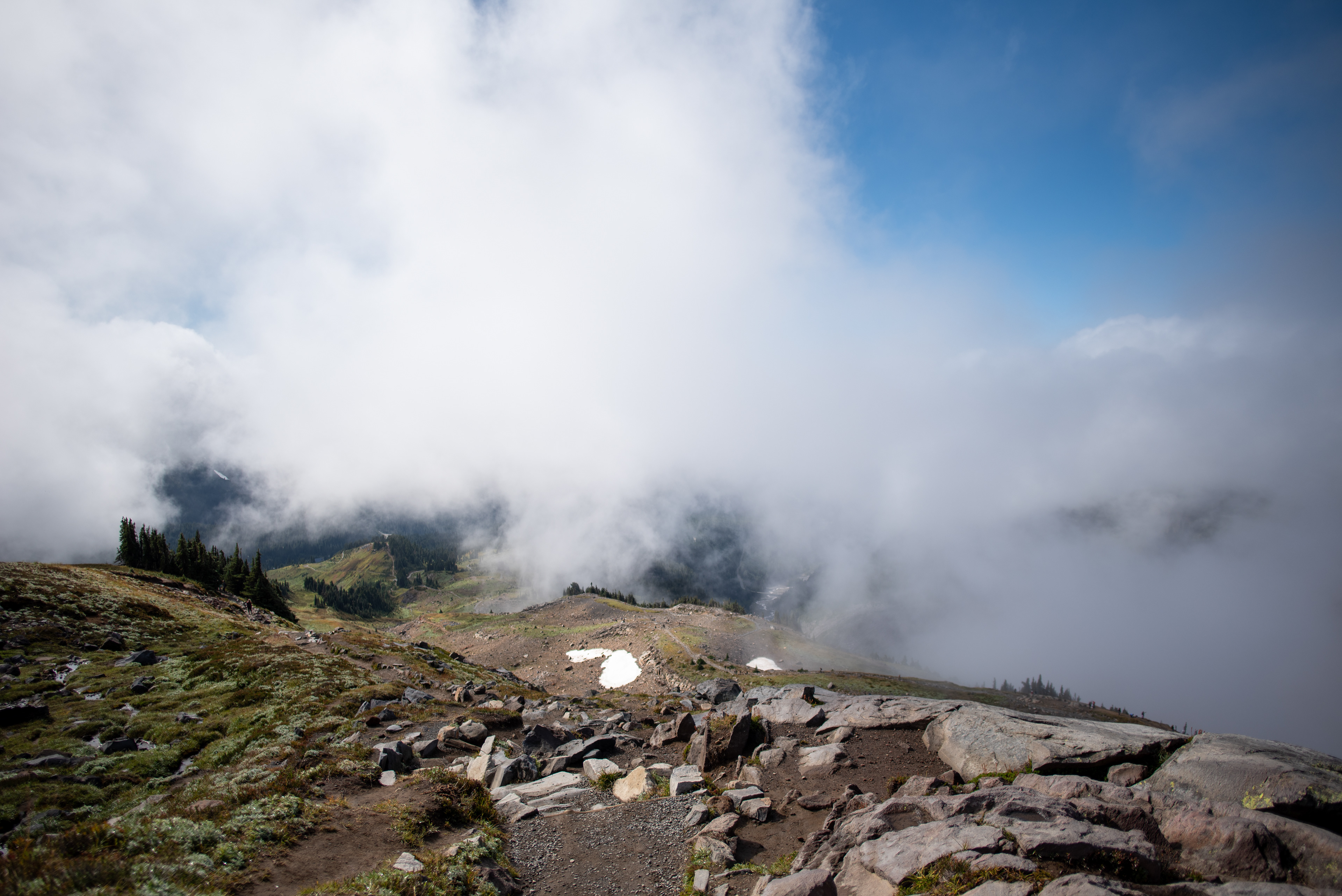
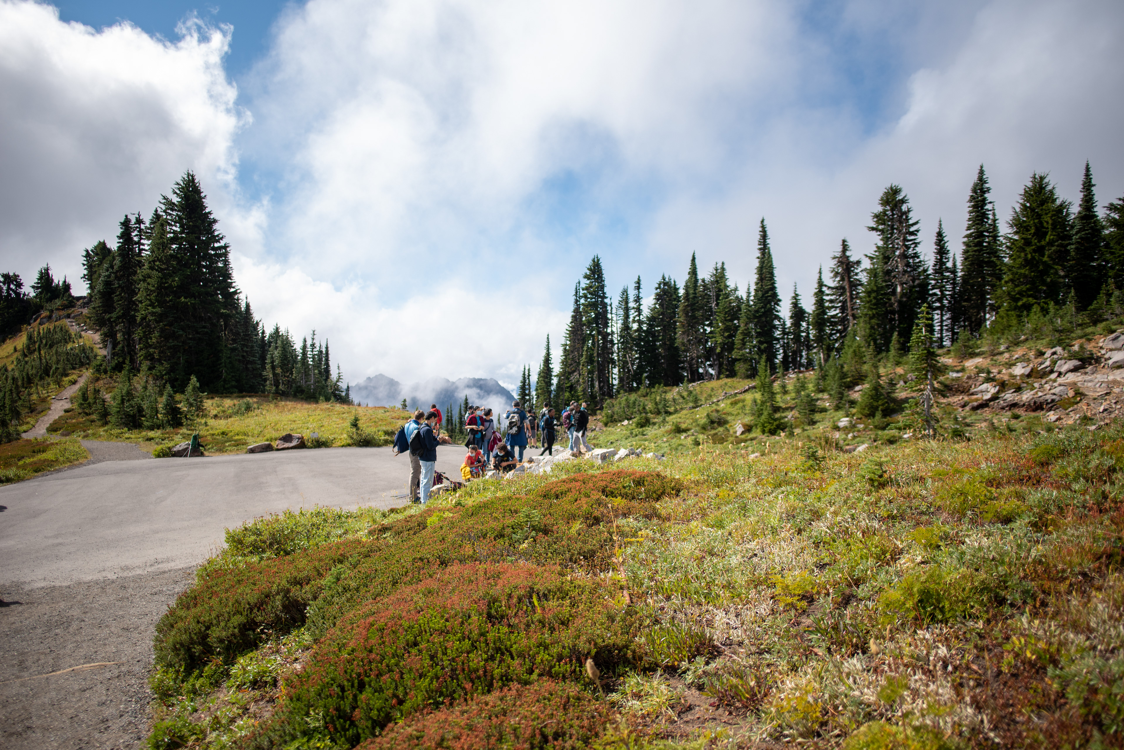
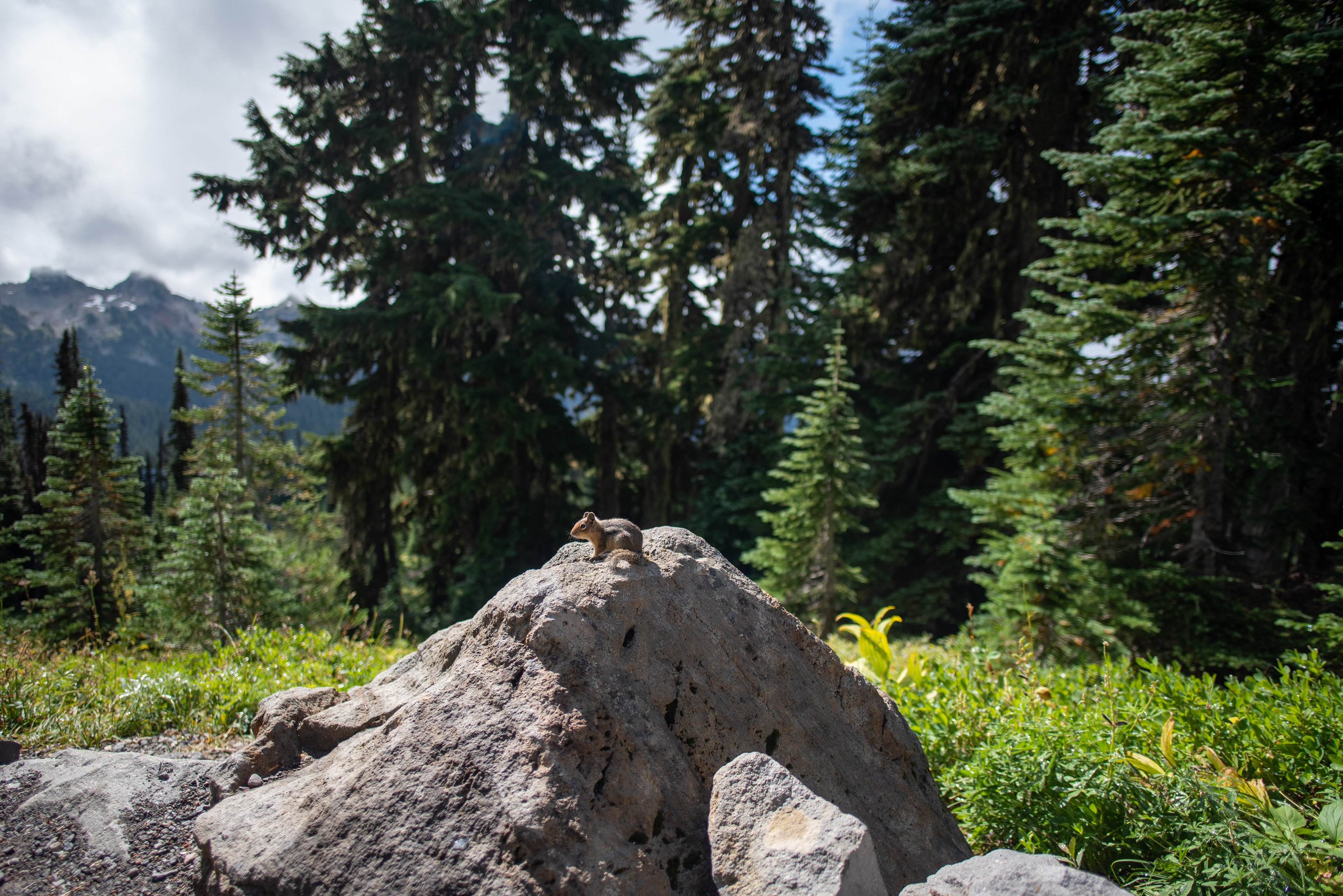
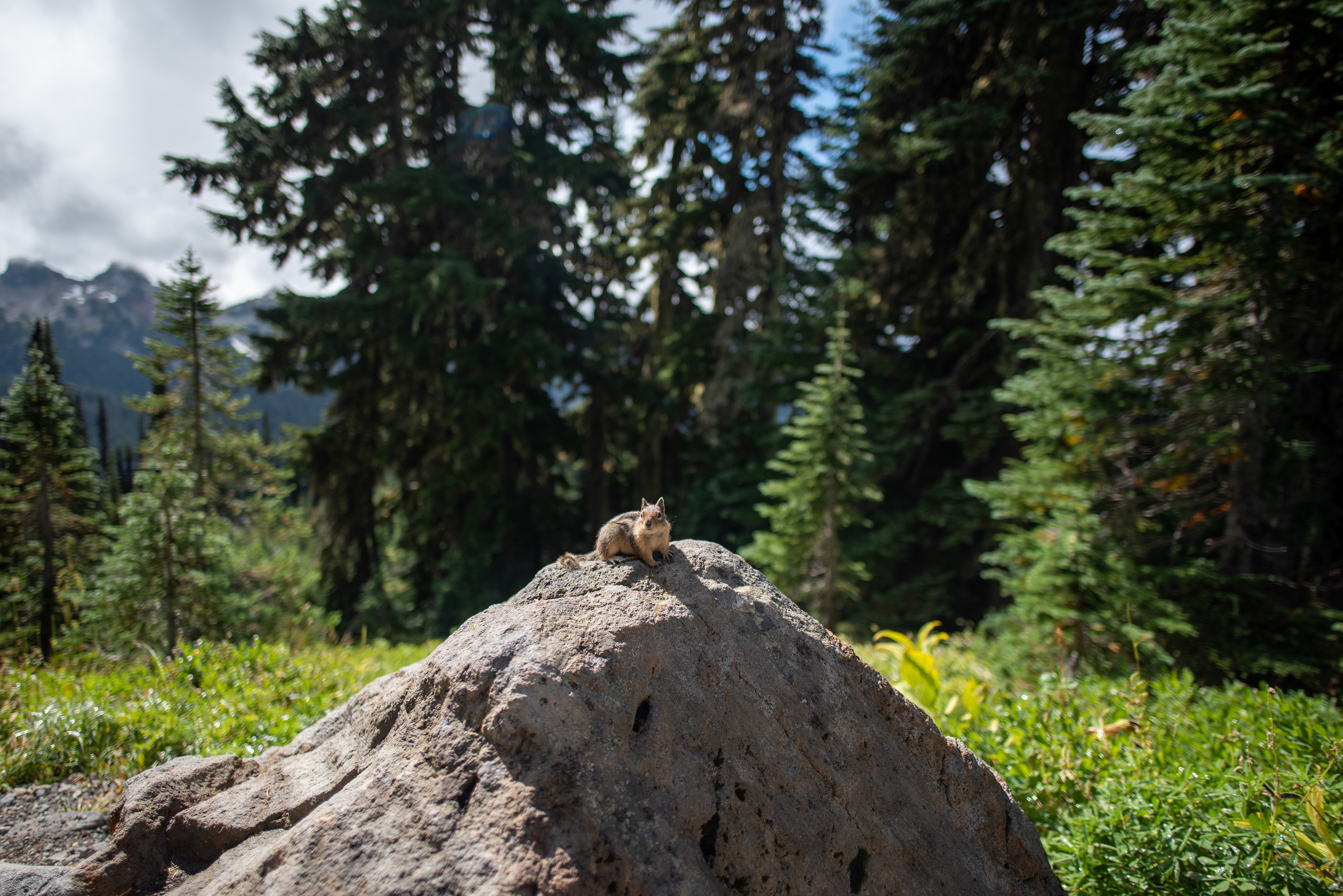


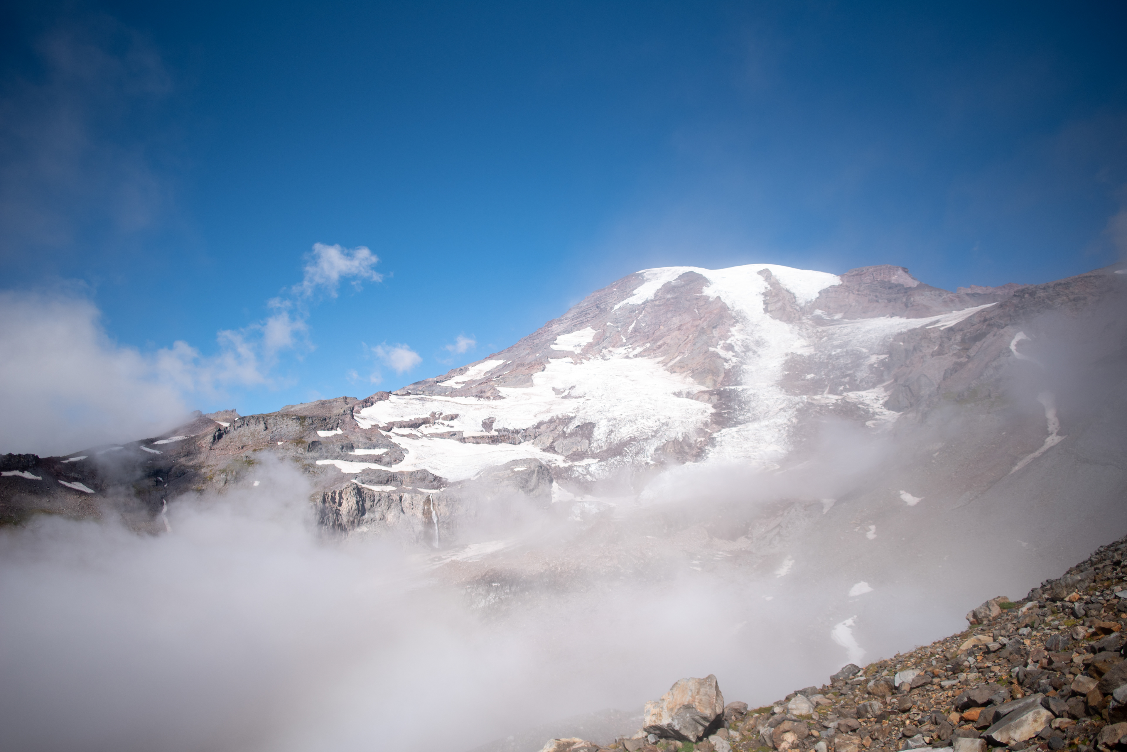
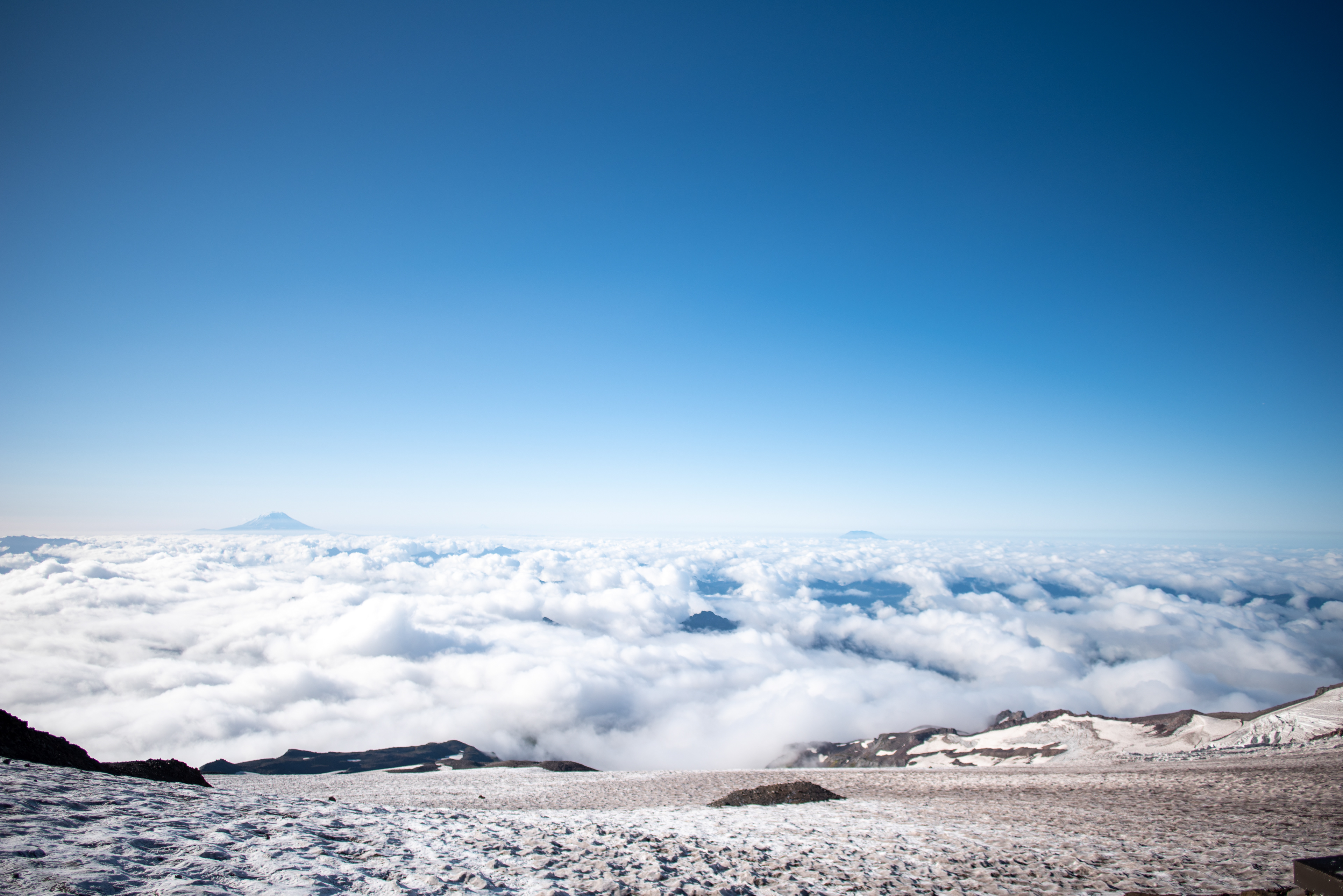

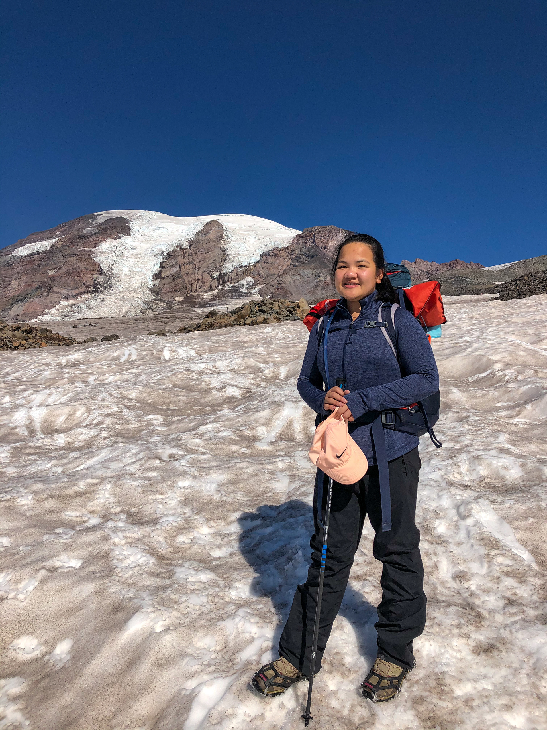


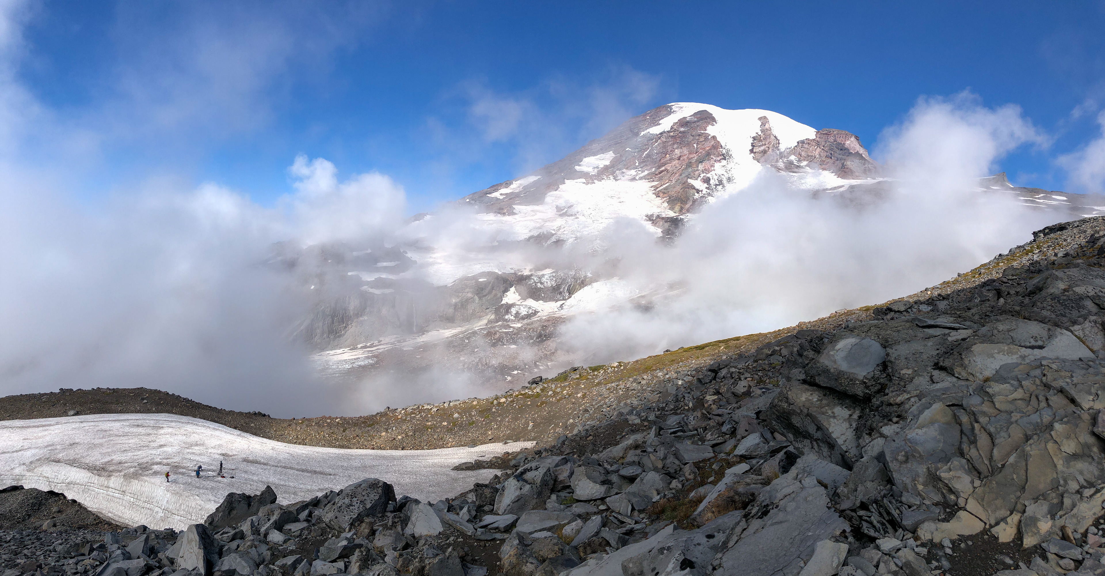
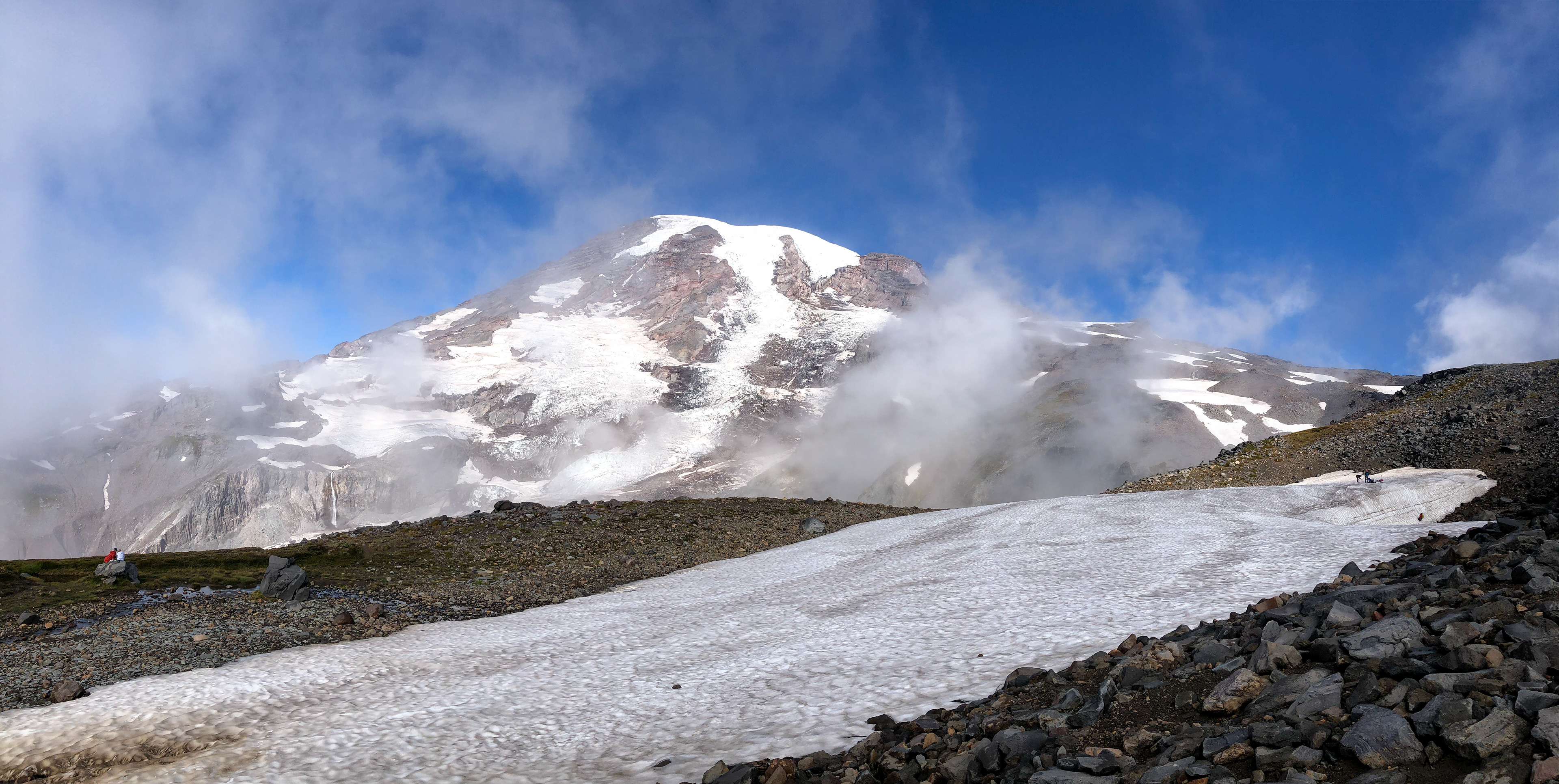

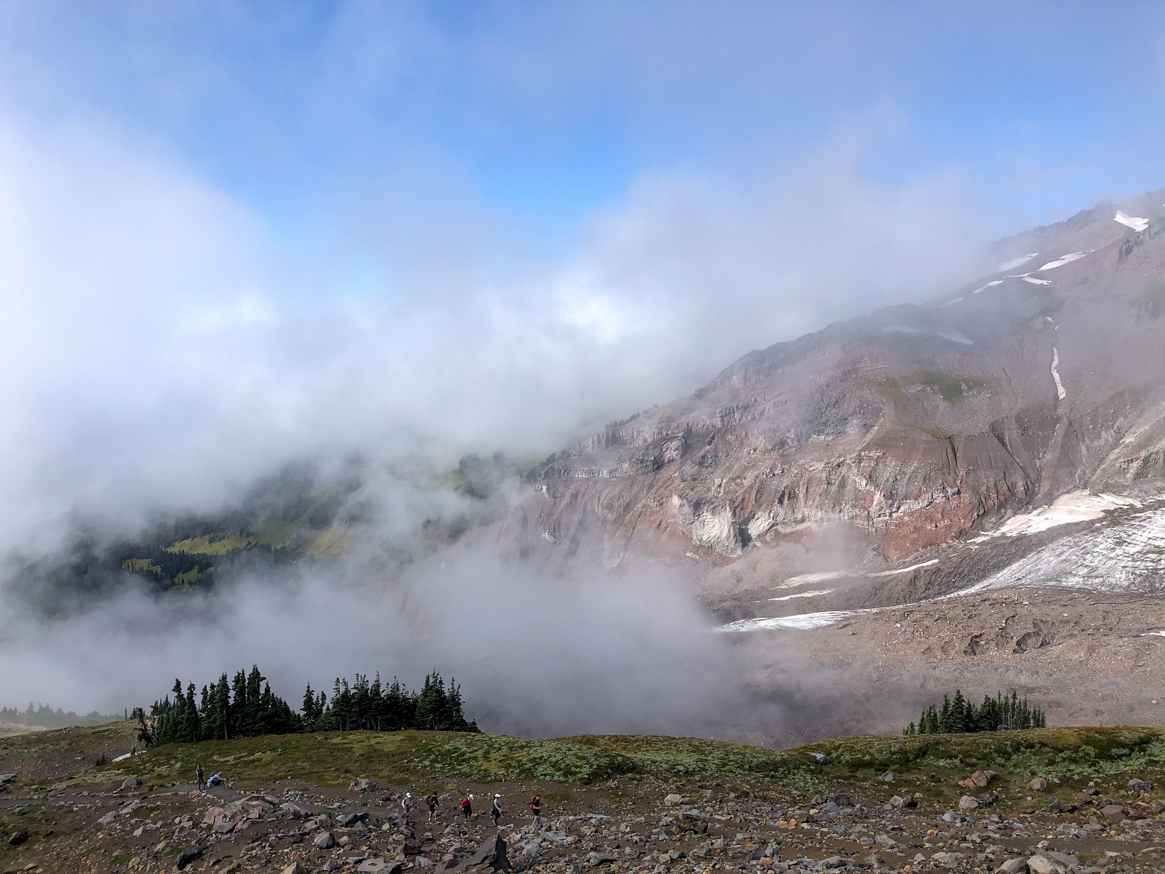
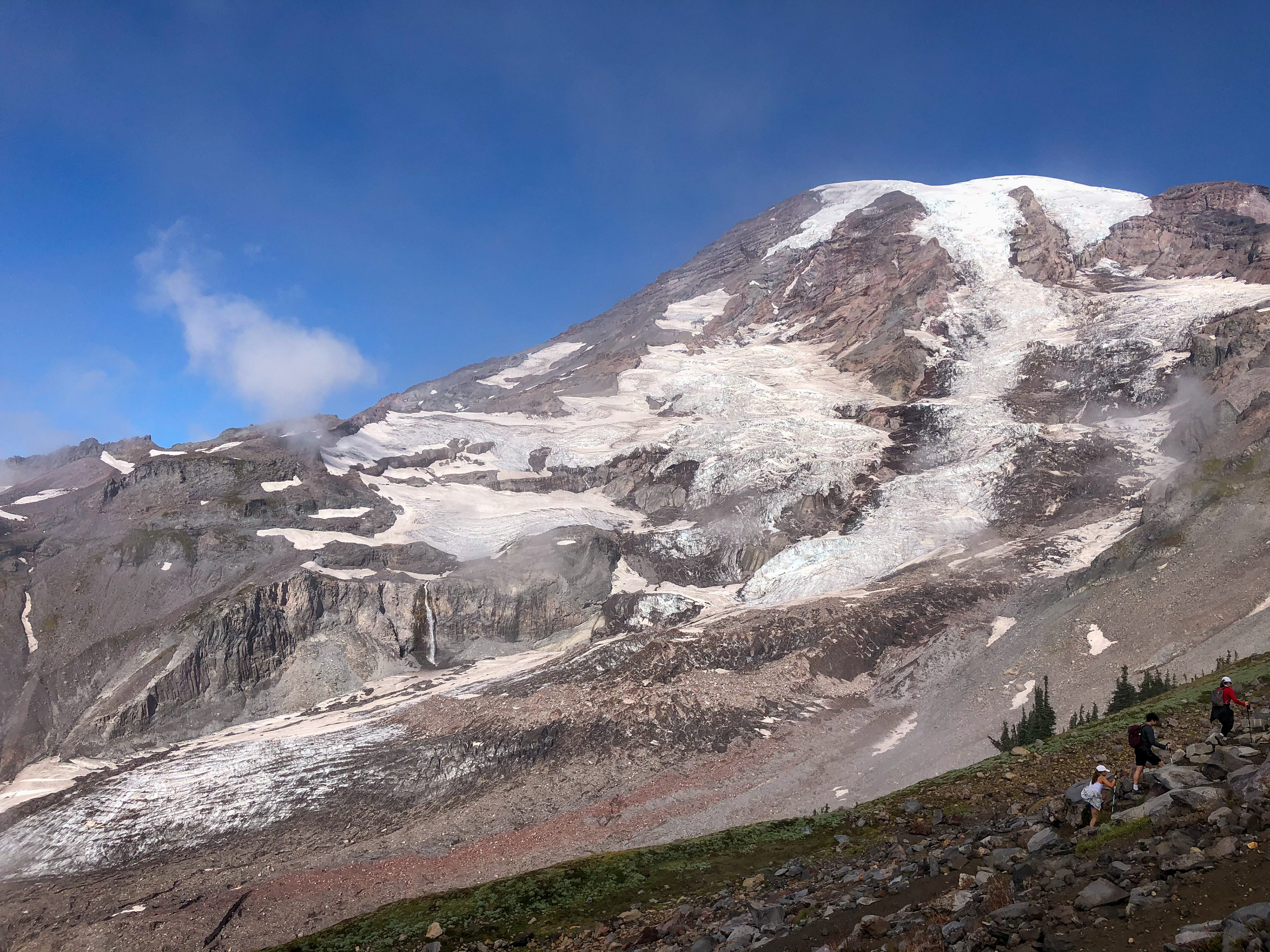

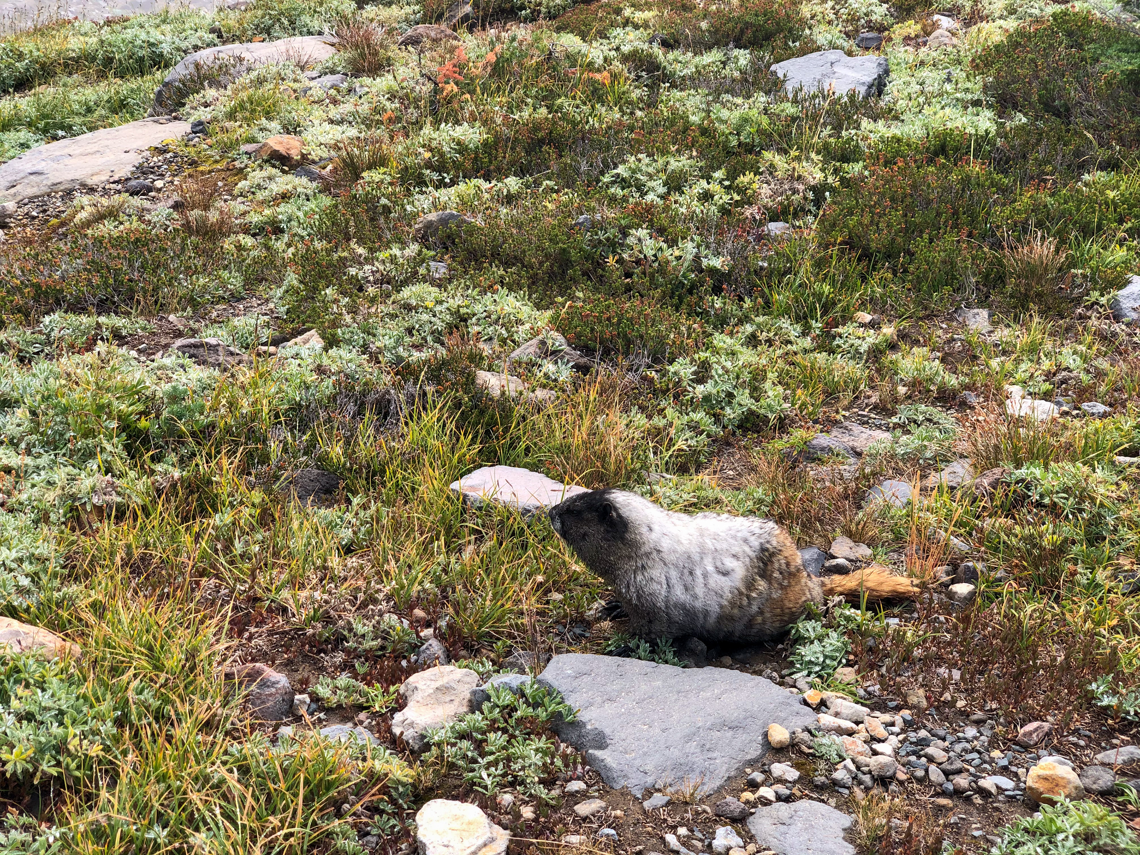

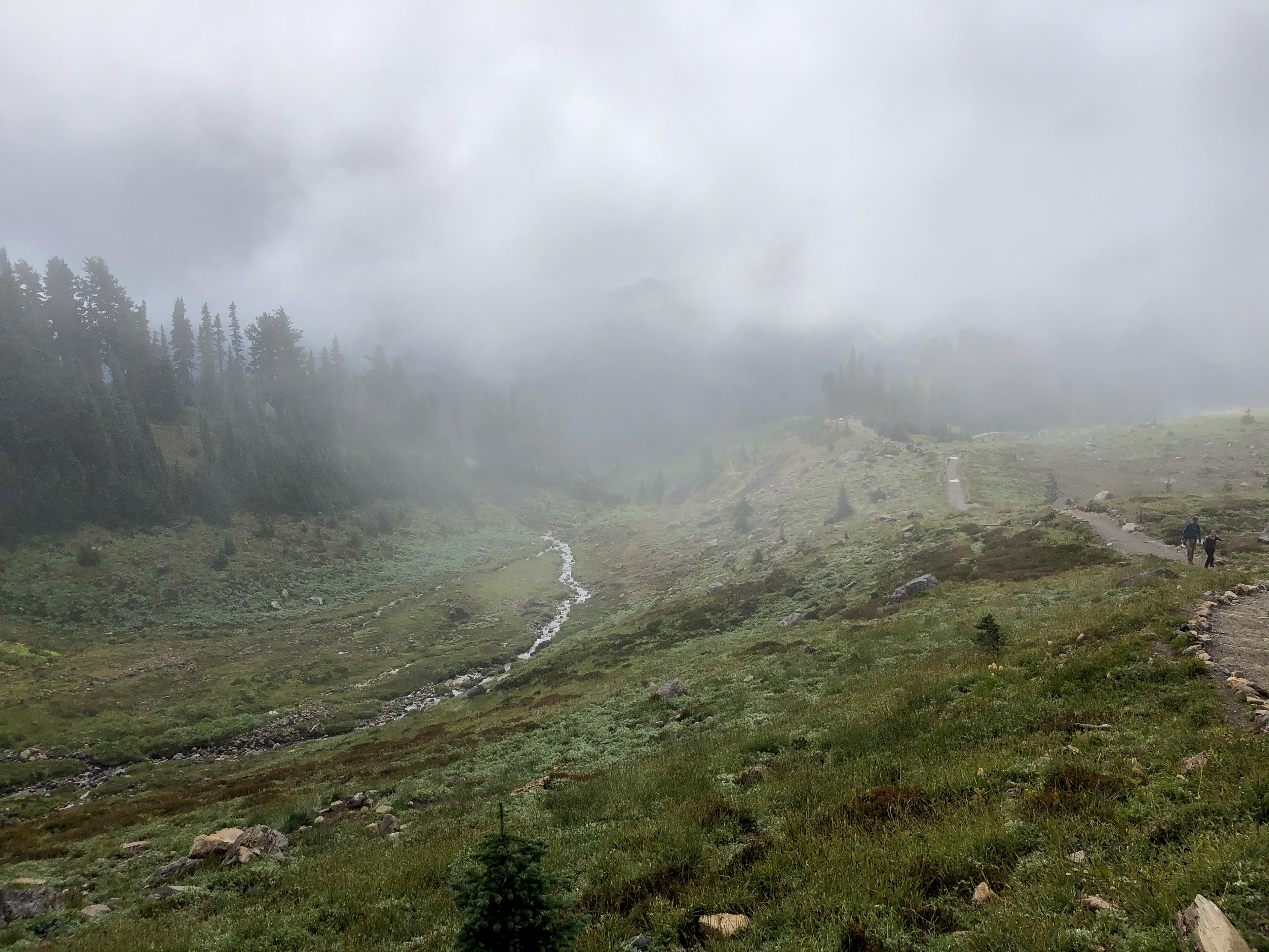
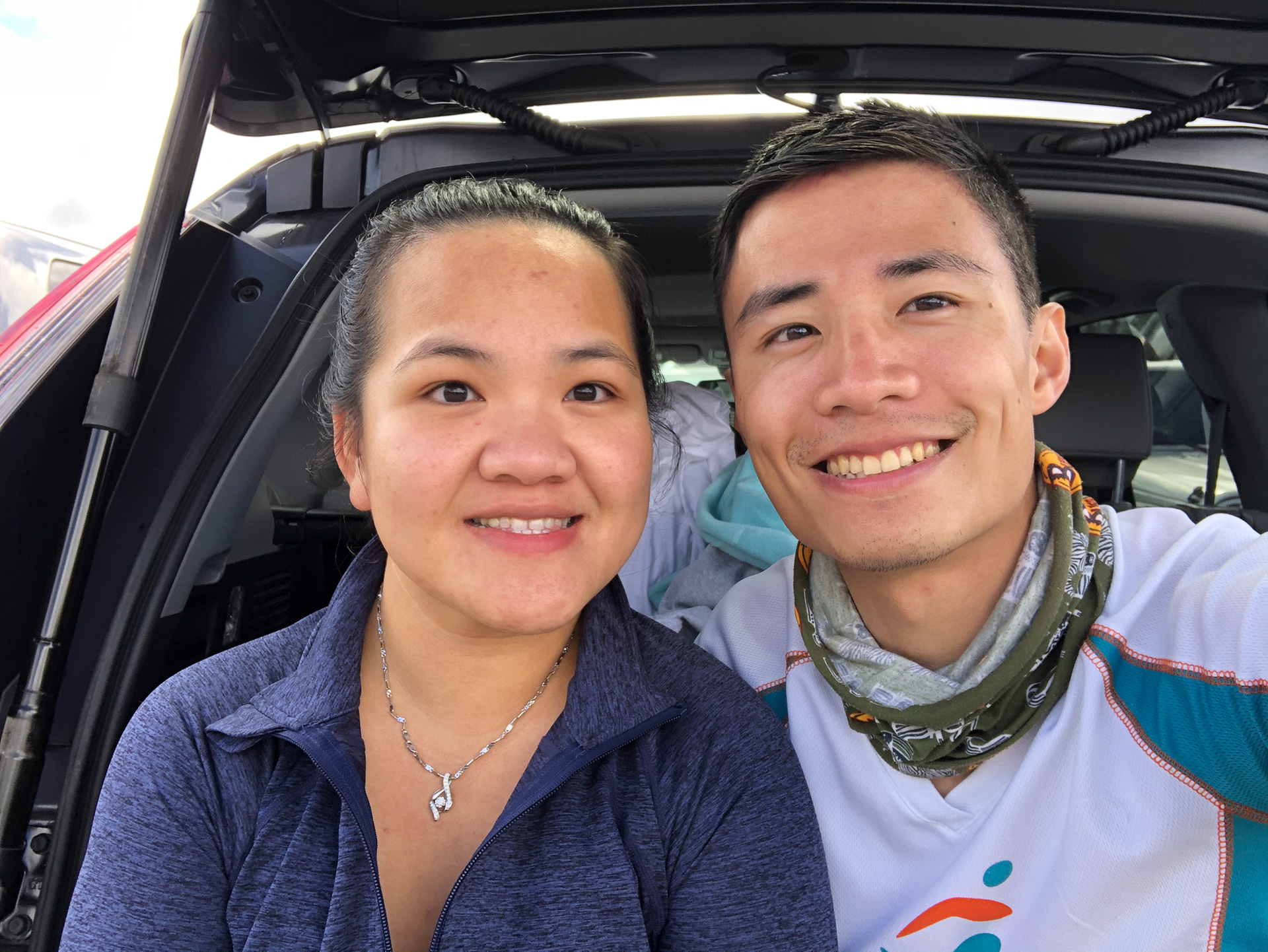
“Follow the Skyline Trail 2.3 miles (3.7 km) upward to Pebble Creek. Be sure to treat water before drinking from the creek! Here the trail ends, and the Muir Snowfield begins. The next 2.2 miles (3.5 km) is an unmarked route involving an ascent of 2,900 ft (884 m) up the snowfield. I don't know that I'd call it the "Camp Muir Trail" as the second half is more or less a free-for-all up the Muir Snowfield. It is a demanding hike, but if you are up for it the views are well worth it.” Seattle would not be the same without the presence of Mt. Rainer. As the highest mountain in Washington, it has been showing her beauty for years. Both of us have been living in the northwestern state for over a decade, yet none of us ever dared to attempt climbing her. Without further ado, we decided to try out our very first mountaineering – Camp Muir. Camp Muir, also known as Camp Cloud (10,188 feet), is one of the primary high camps for summit attempts and is a favorite campsite with climbers. As usual, we arrived and stayed overnight in Paradise (trailhead) the night before our backpacking (Friday night), so that we may start hiking in the early morning without spending extra time and energy on driving. On Saturday, it was a cold and rainy day. Not only that, the misty fog literally blinded us from following the trail. The temperature was 35 degrees with 100% humidity at 7 a.m. as we started our journey toward Camp Muir. For the first 2.3 miles, we “walked” on the Skyline trail, a well-maintained tourist-friendly trail. We were supposed to be able to see the beautiful mountains and alpine trees along the way, unfortunately, the fog made us unable to see anything more than 10 feet away. The trail ended by the “sound” of Pebble Creek (we could not see it due to heavy fog); then Camp Muir trail continued the way. We put on our microspikes and started to climb on the significantly steep snowfield. The misty fog and drizzling not only let us have zero visibility of the trail but also made us soaking wet quickly. Even the rain jackets had a hard time resisting those microdroplets. A group of 4 retreated as the heavy fog whited out the sight. We were young and brave and decided to proceed. There were technically only 2.2 miles on the snowfield before reaching Camp Muir but felt like 5 miles long. In between, we encountered numerous huge crevasses. Some of them were wide open and super deep (over 100 feet of depth). It was always a nerve-racking moment to cross each crevasse especially when NOT all of the crevasses were visible due to the fog and new snow. When we arrived at Camp Muir, we were frozen, exhausted, and starved. Fortunately, there were several small shelters on Camp Muir, so that we did not have to camp on snow. In fact, the major shelter was closed due to the COVID pandemic. Yet, one and the only one staff there said that we may use it. After we occupied the shelter, a group of 3 joined us, who attempted to climb the summit on Sunday. The weather there changed abruptly in the afternoon, but mostly snow, rain, and heavily misty fog covered all of the good views. The temperature dropped below the freezing point after the sunset somewhere from the sky. As the air got colder, it became dense and heavy enough to settle down, and we finally saw the stars by midnight. In the early morning on Sunday (3 a.m.), people who attempted to the summit were already on their way. It would be a dangerous but beautiful climb as Milky Way was in sight. By 6:30 a.m., the sun finally showed its ruby color and silver lining from the sea of clouds. The sky was ocean blue and crystal clear. The view reflecting on our eyesight was unbelievably breathtaking. Standing on the highest mountain in Washington, everything was below us. The only mountain which dares to compete for the highness of Mt. Rainer is Mt. Adams, the second-highest mountain in Washington, 50 miles from where we stood. Also, Mt. Hood, the highest mountain in Oregon, slightly showed its shine from 165 miles away. Fortunately, it had been a sunny and clear day on Sunday. Climbing down was not as scary when everything was visible. We easily followed the “stepped trail” on the icefield and avoided any crevasses all the way down. Unlike Saturday, good weather on Sunday attracted way more climbers to try out the Camp Muir trail. As we proceeded climbing down and finally back to the skyline trail, we saw the Mt. Rainer way above us; the trees and creeks were below us, and we encountered fatty yellow-bellied marmots blocking the road (they probably wanted to enjoy the sunshine too). Even the skyline trail alone had a lot of elevation gain. Our toes and knees seemed constantly against the surface of the rocky trail as we “walked down.” After just a total of 3 hours of hiking, we were back to Paradise, and the parking lot was fully packed. Recalling the rainy Saturday, there were only 3 – 4 cars in the morning. After all, it has been a wonderful weekend though we experienced some signs and symptoms like nausea, headache, and swelling due to a significant change of altitude. We had been through the toughest and dangerous climb ever; we saw the most amazing sunrise and cloud view; most of all, we have successfully and safely done our very first mountaineering. So, what’s next? 4Feet 9/21/2020


