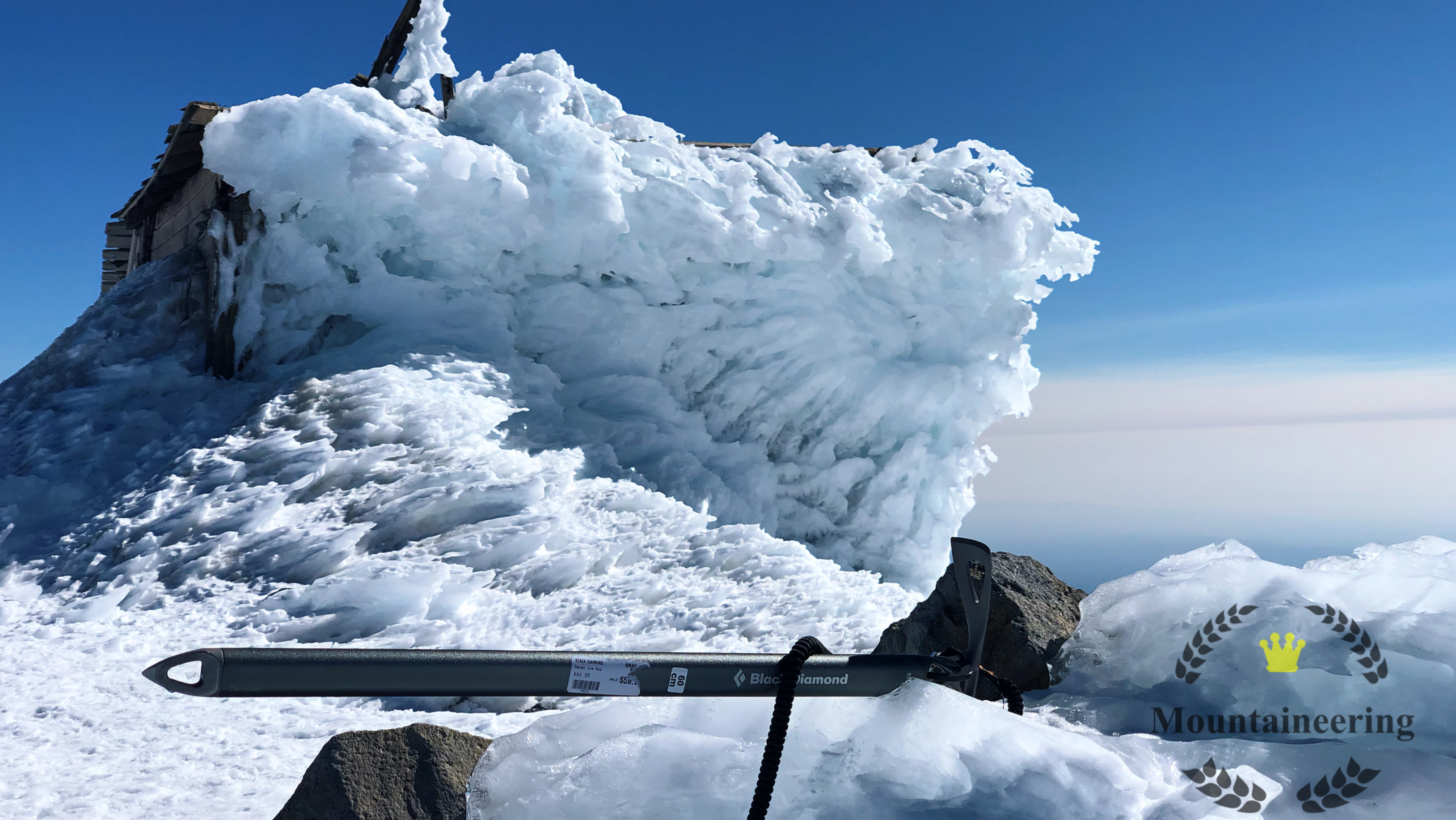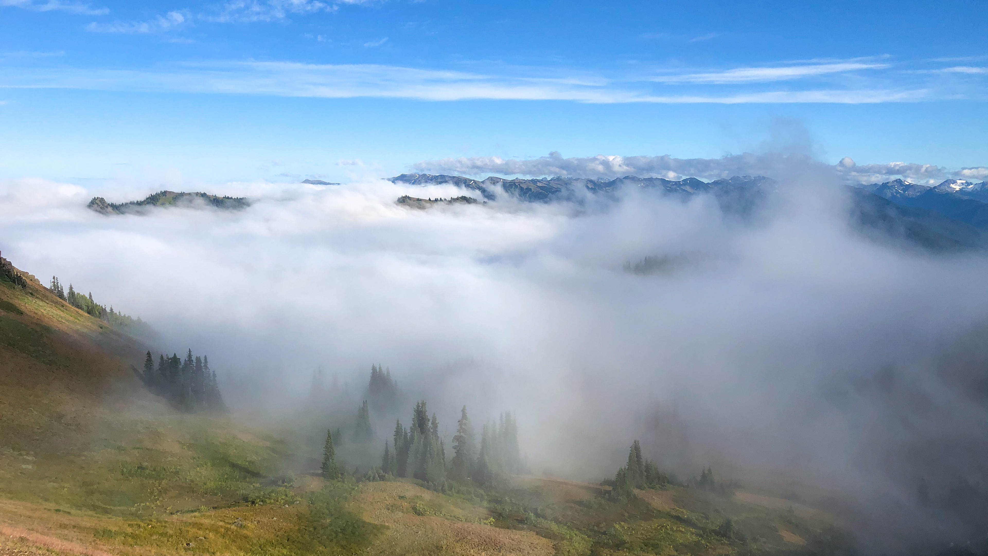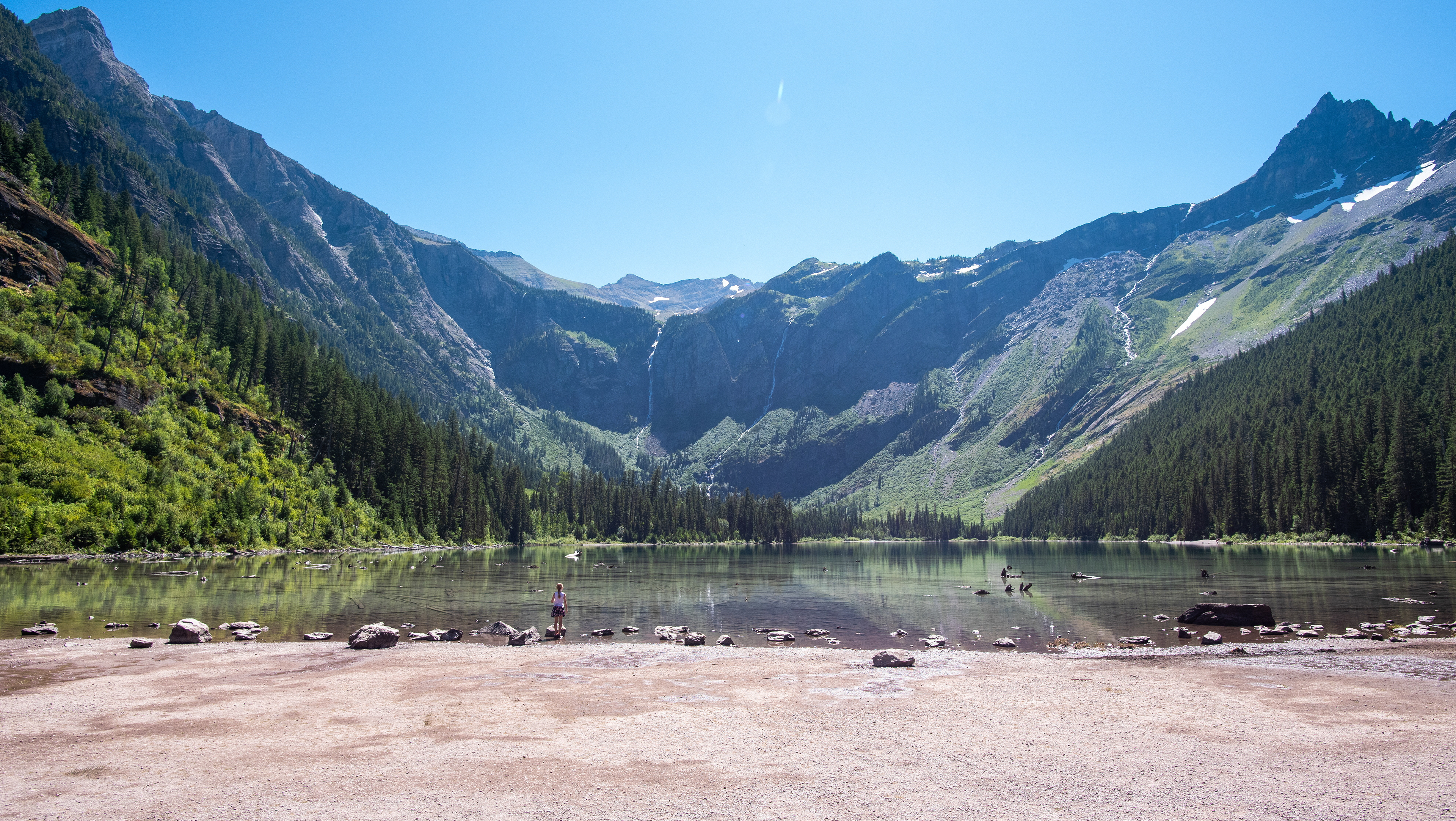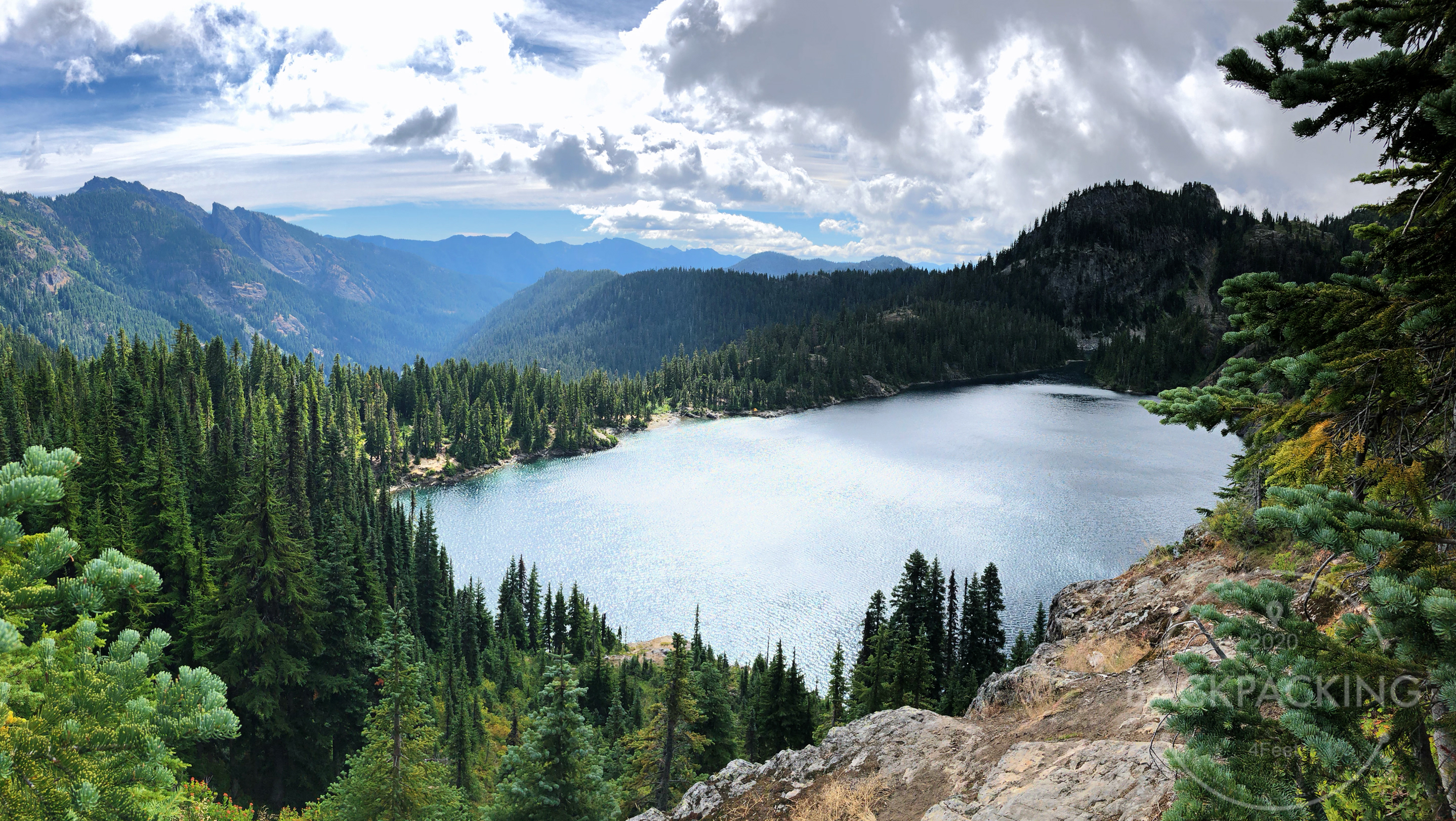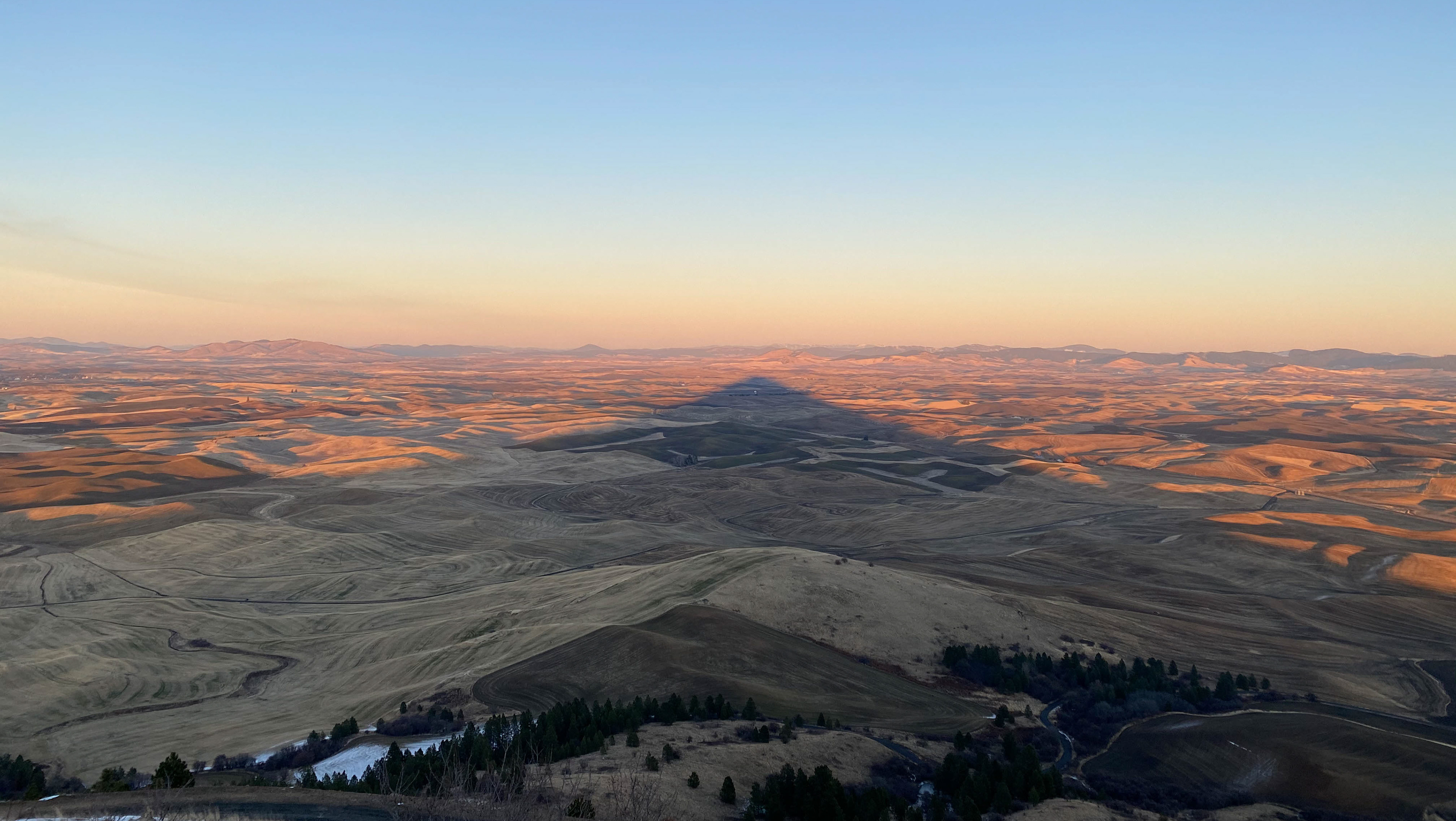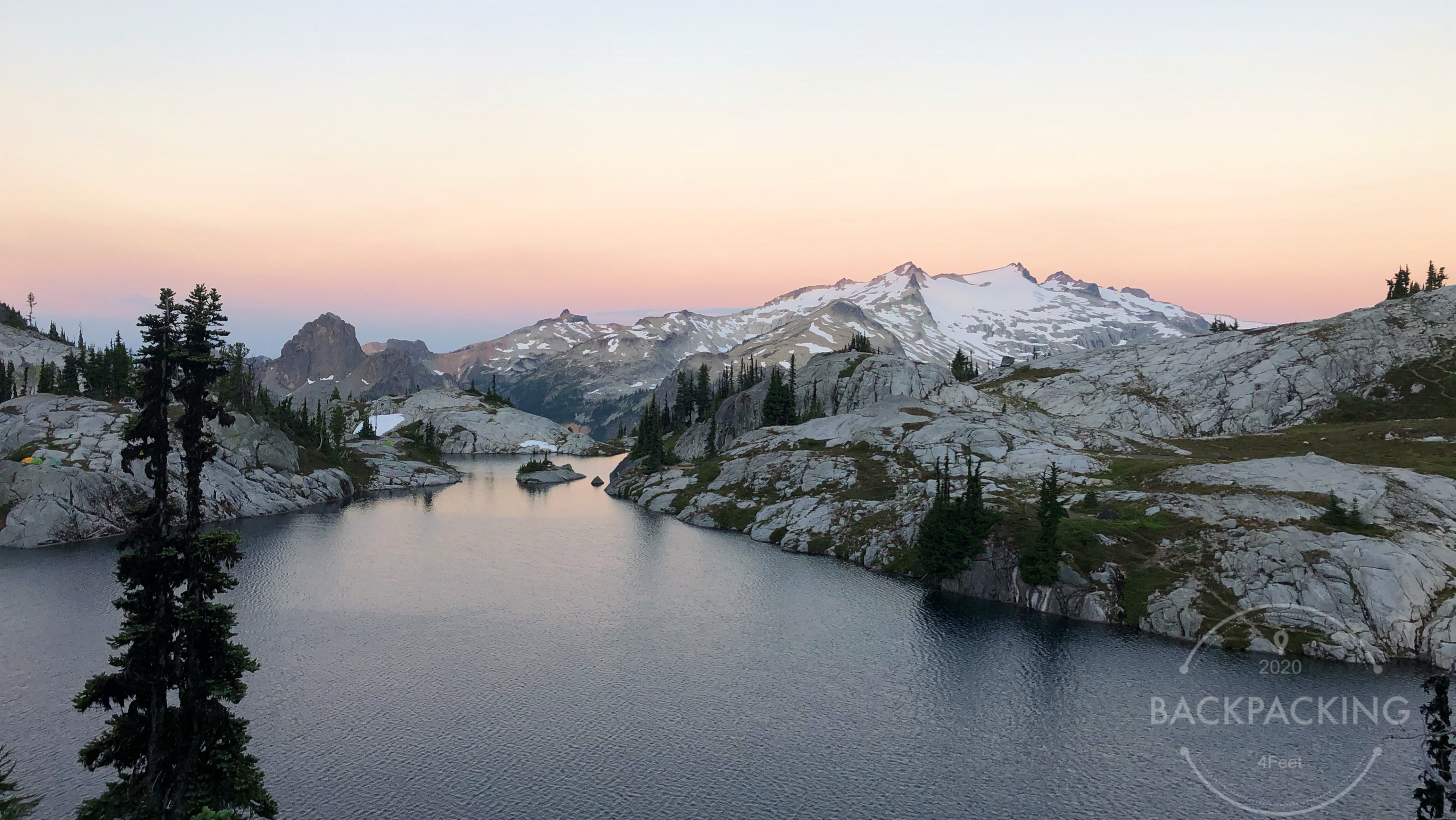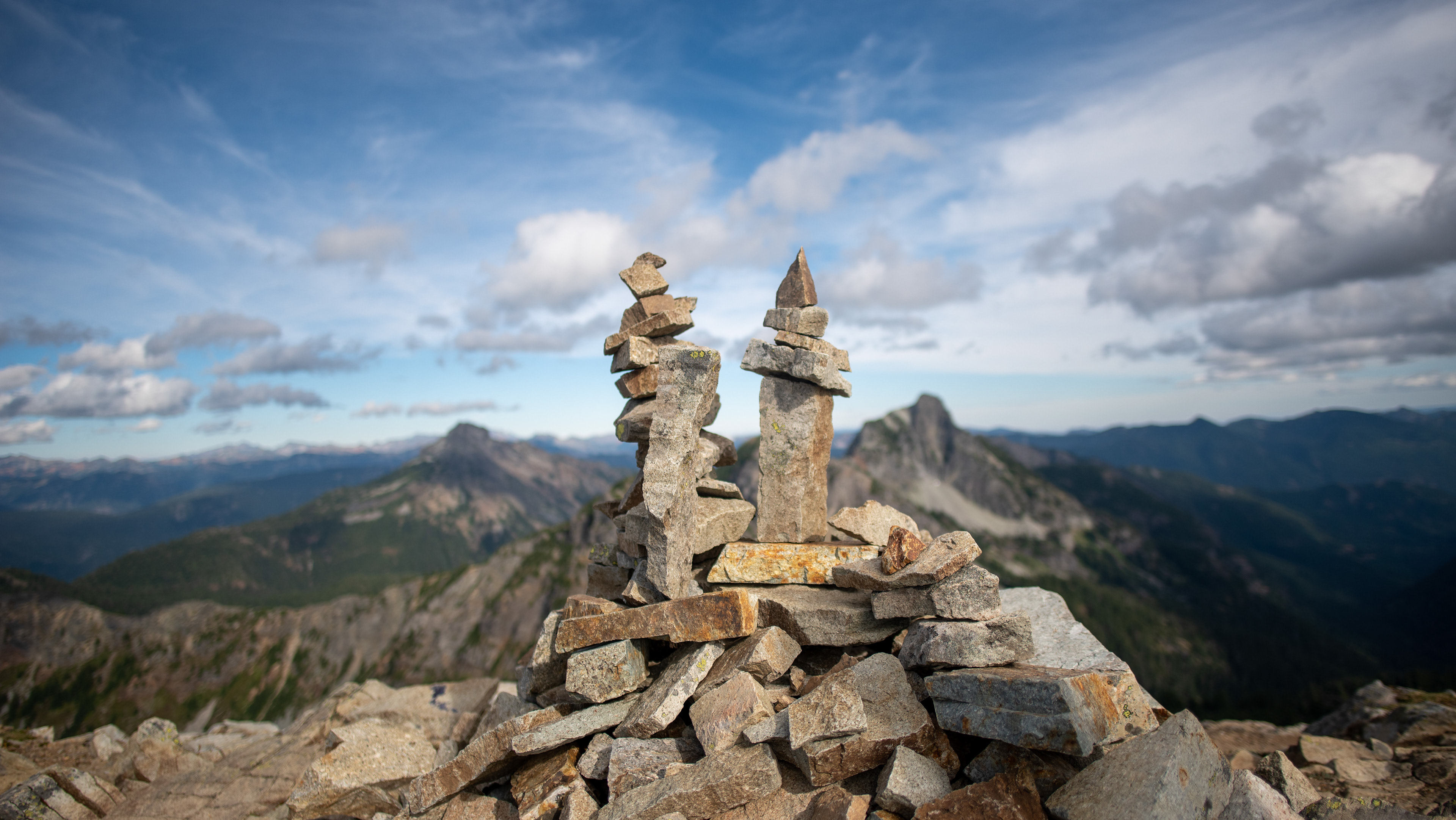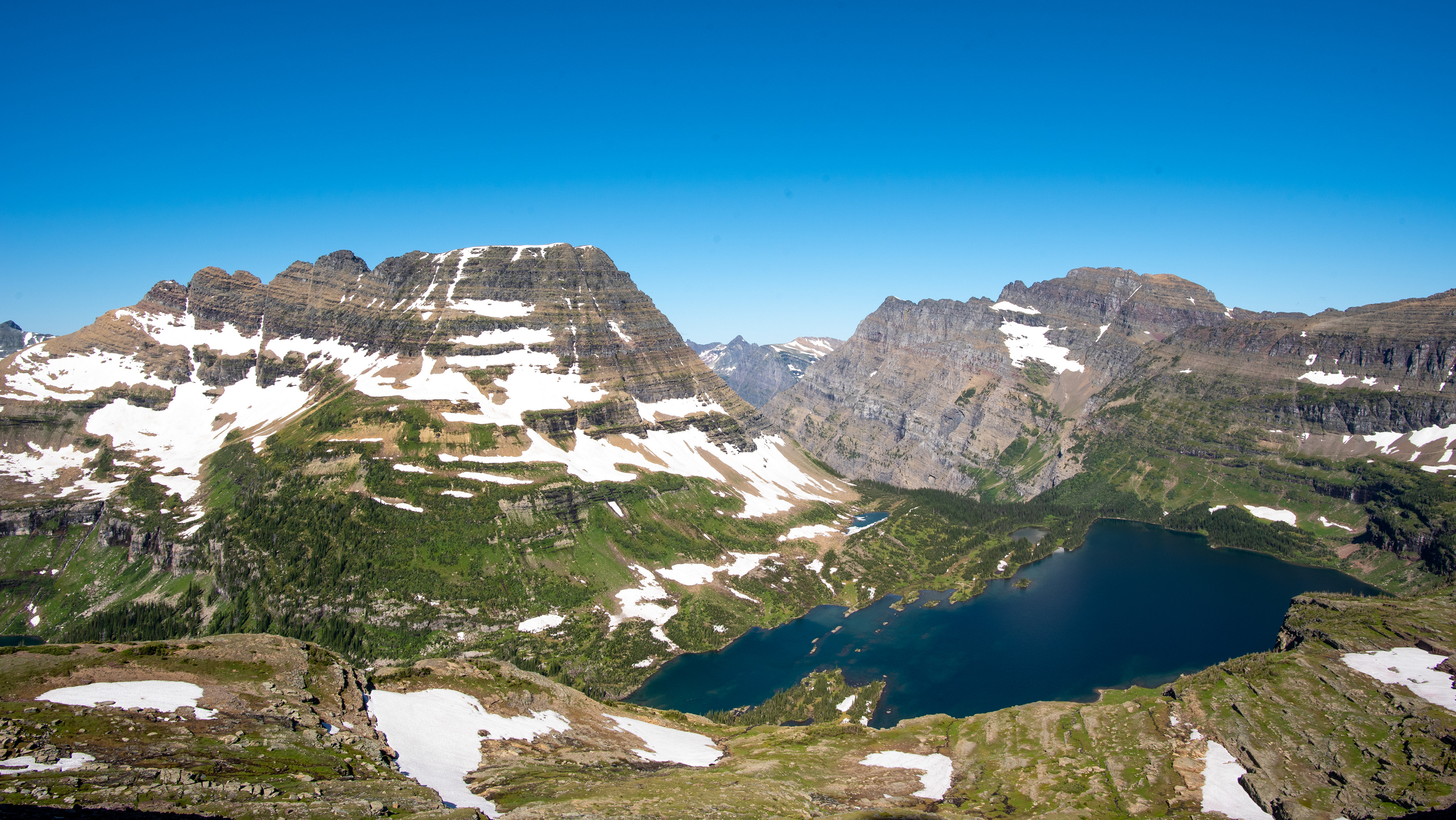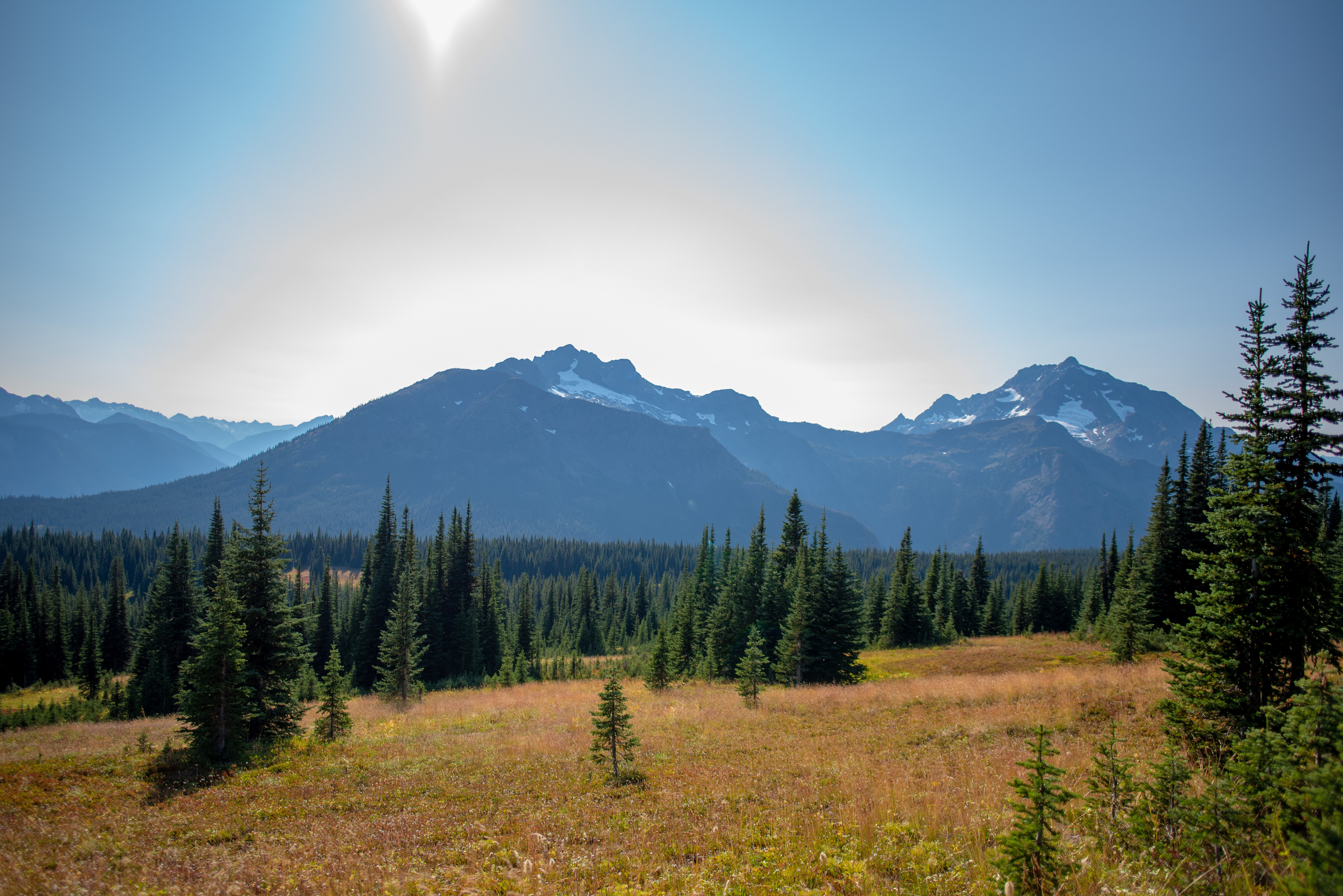


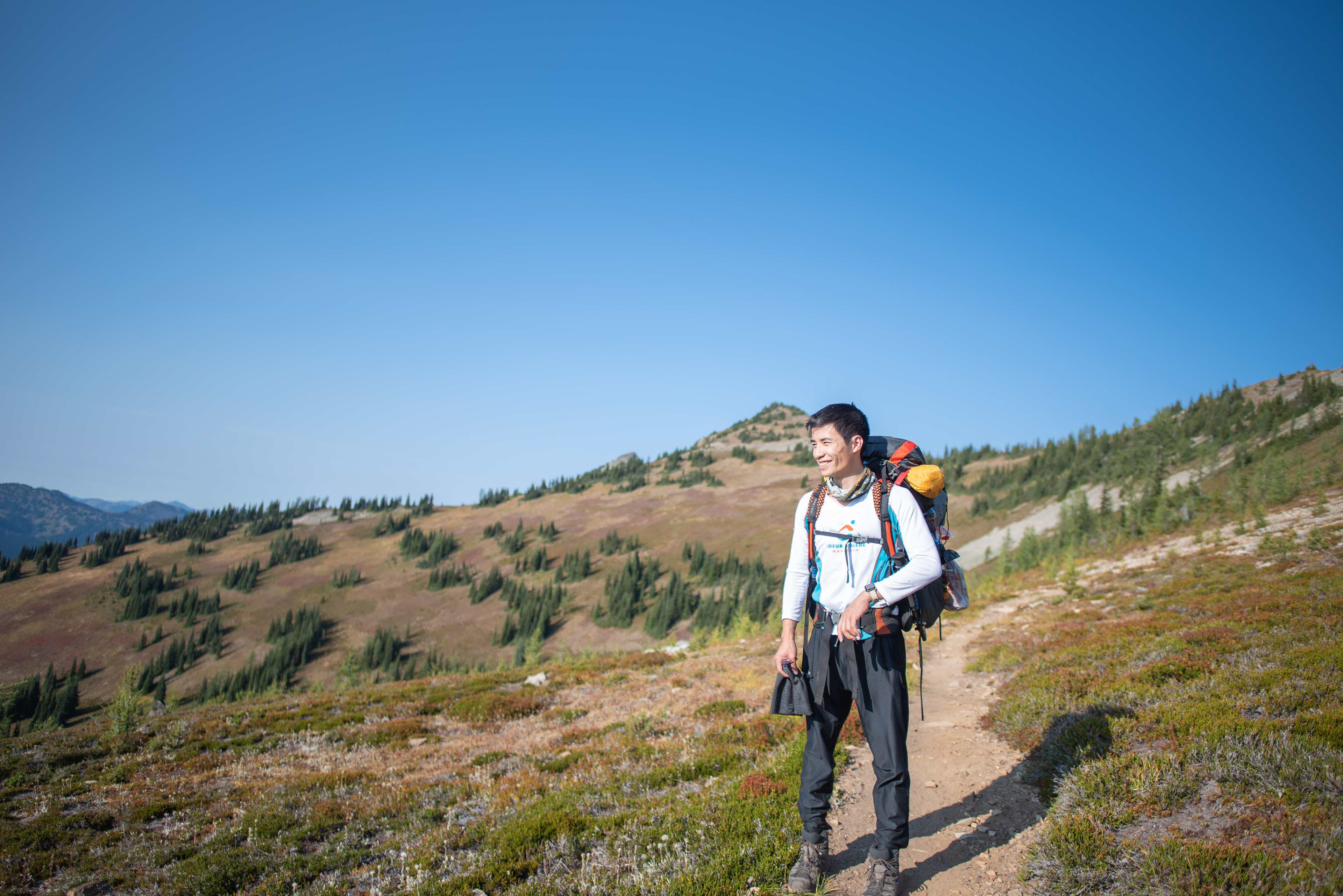
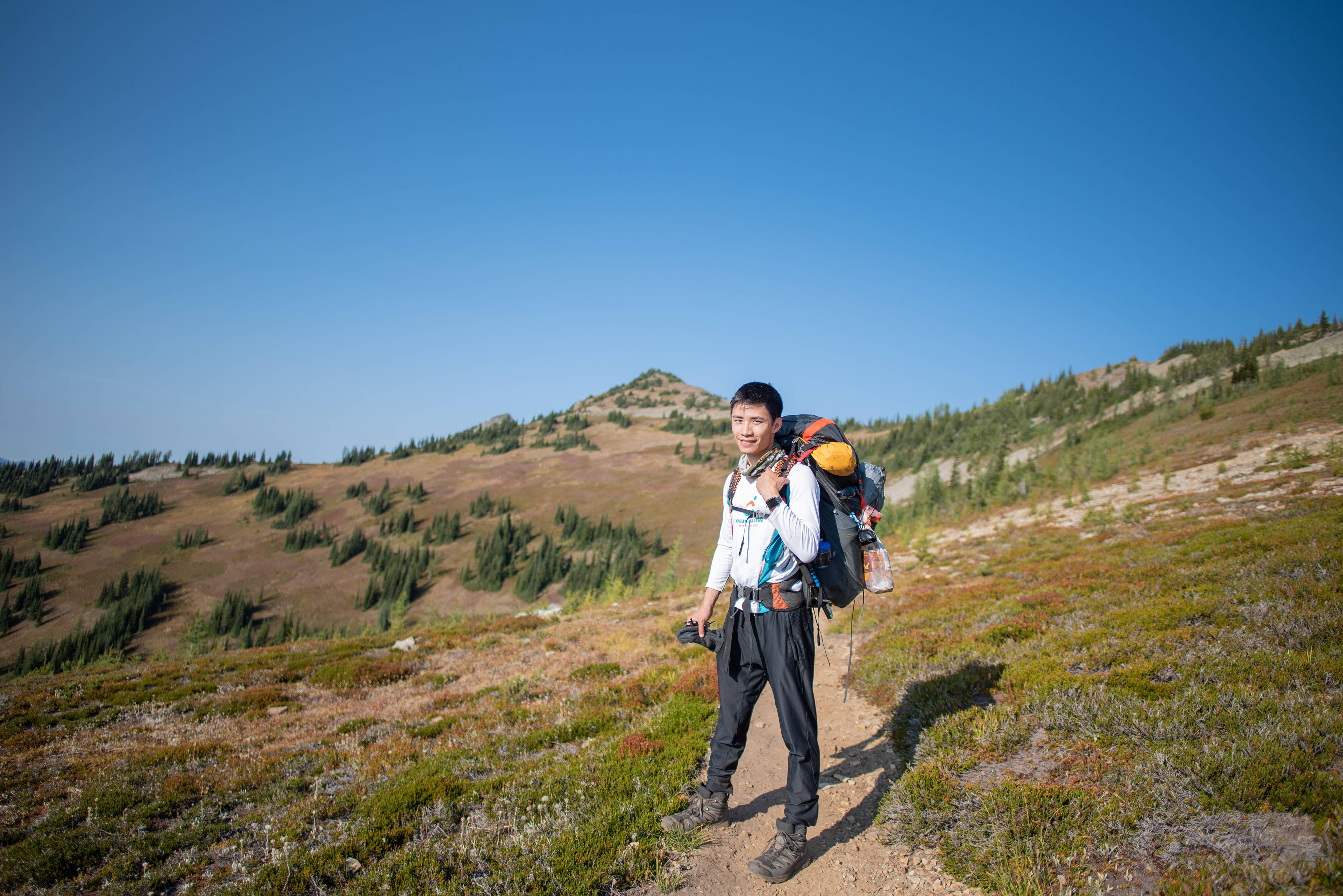
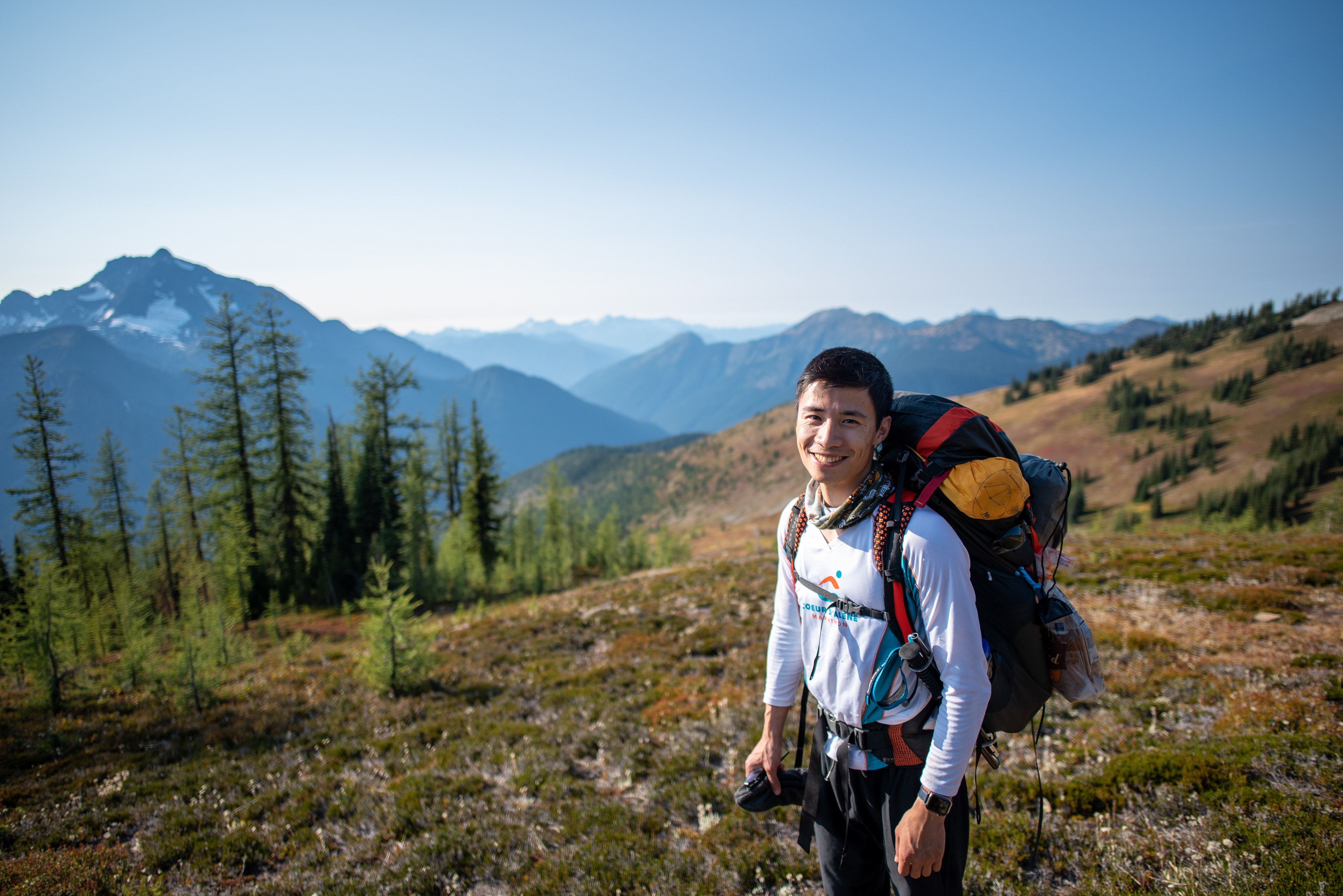
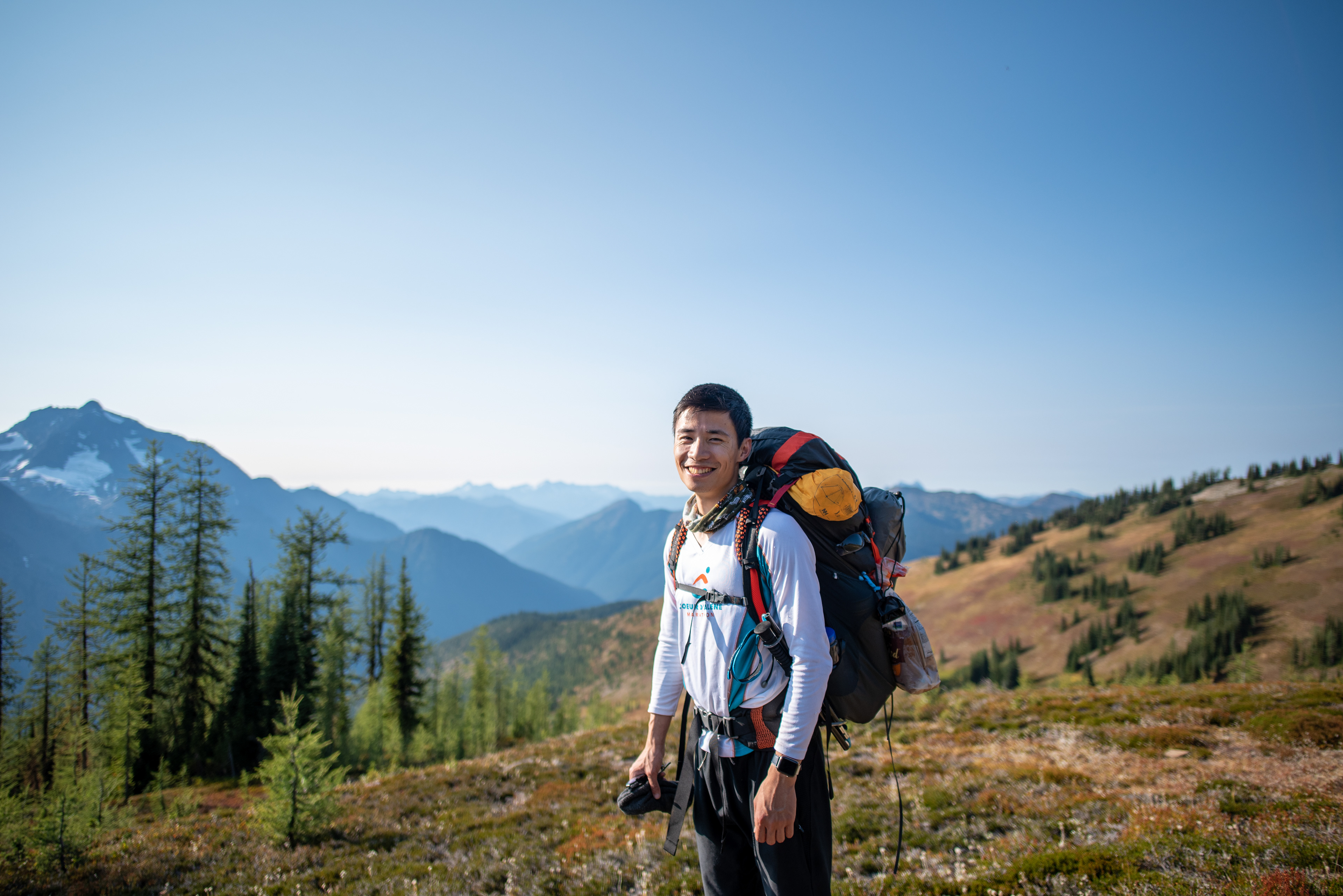
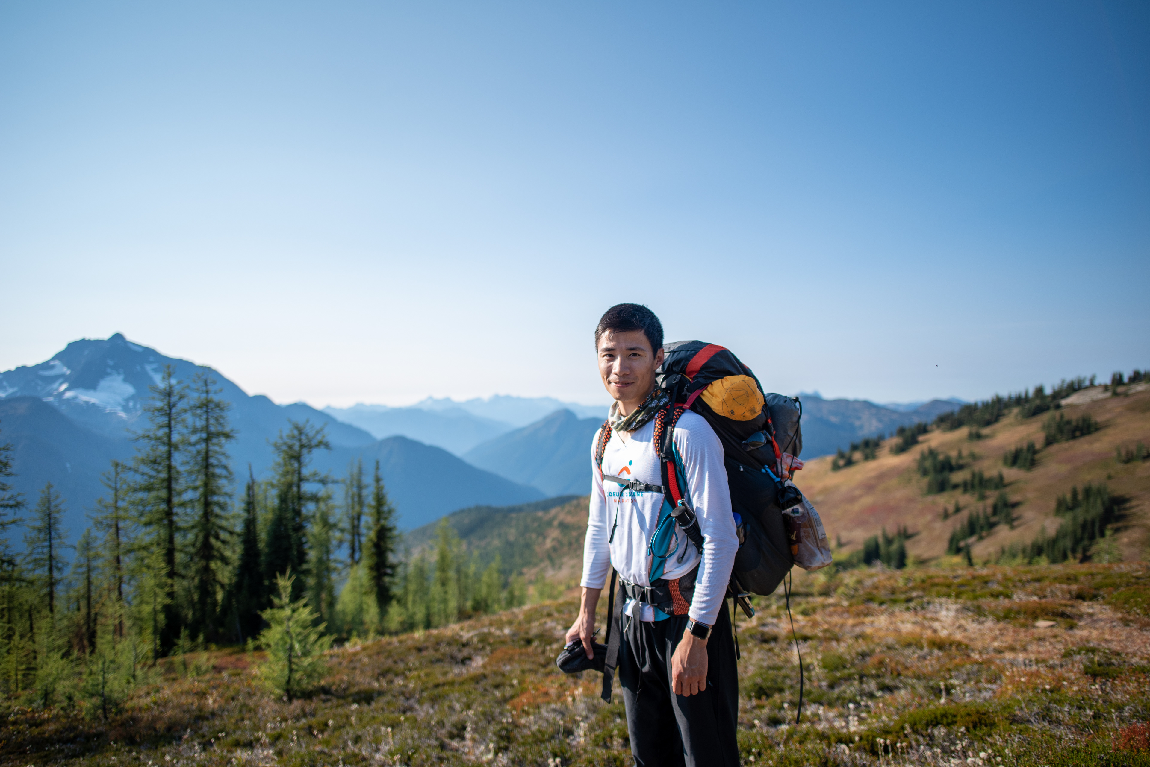
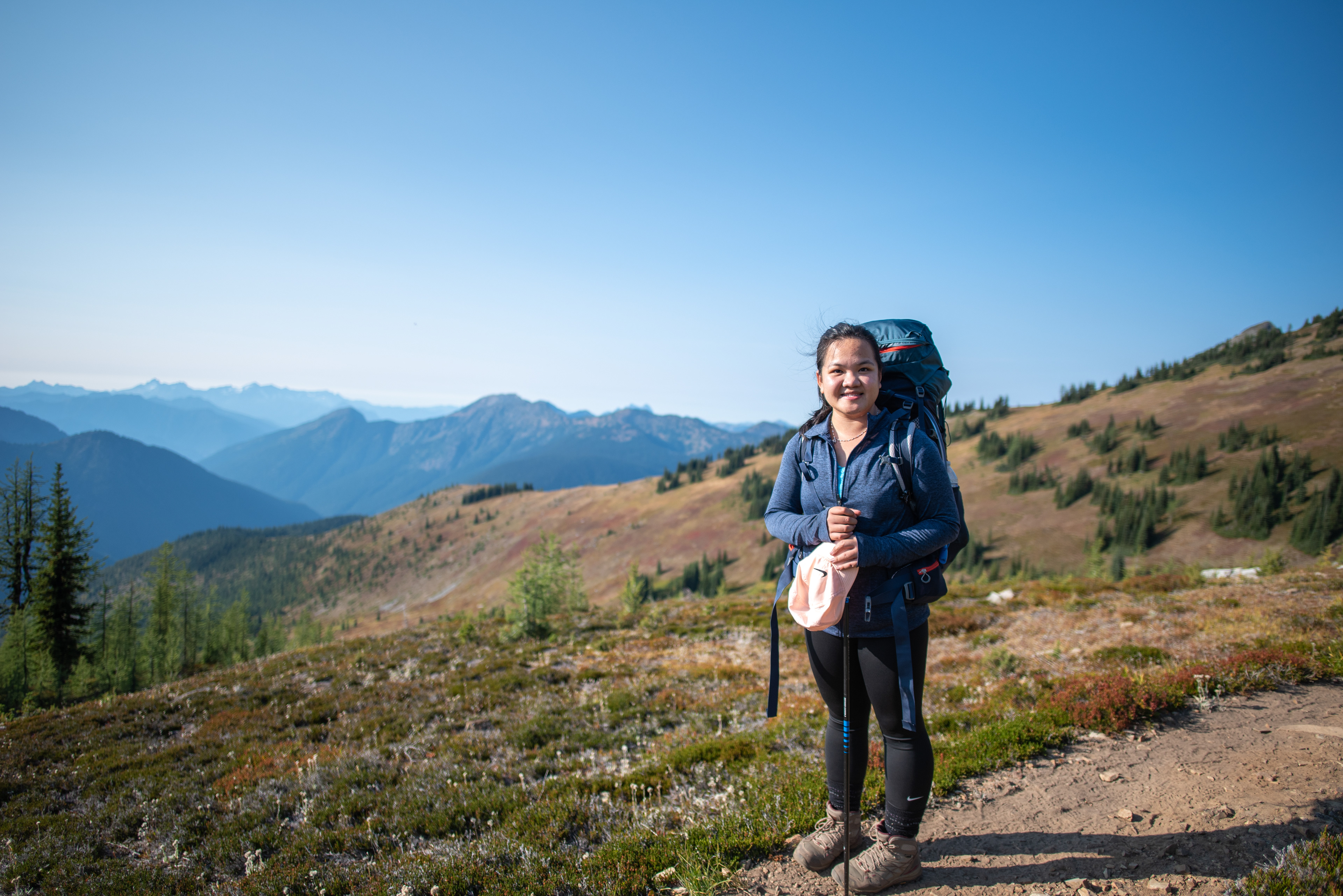
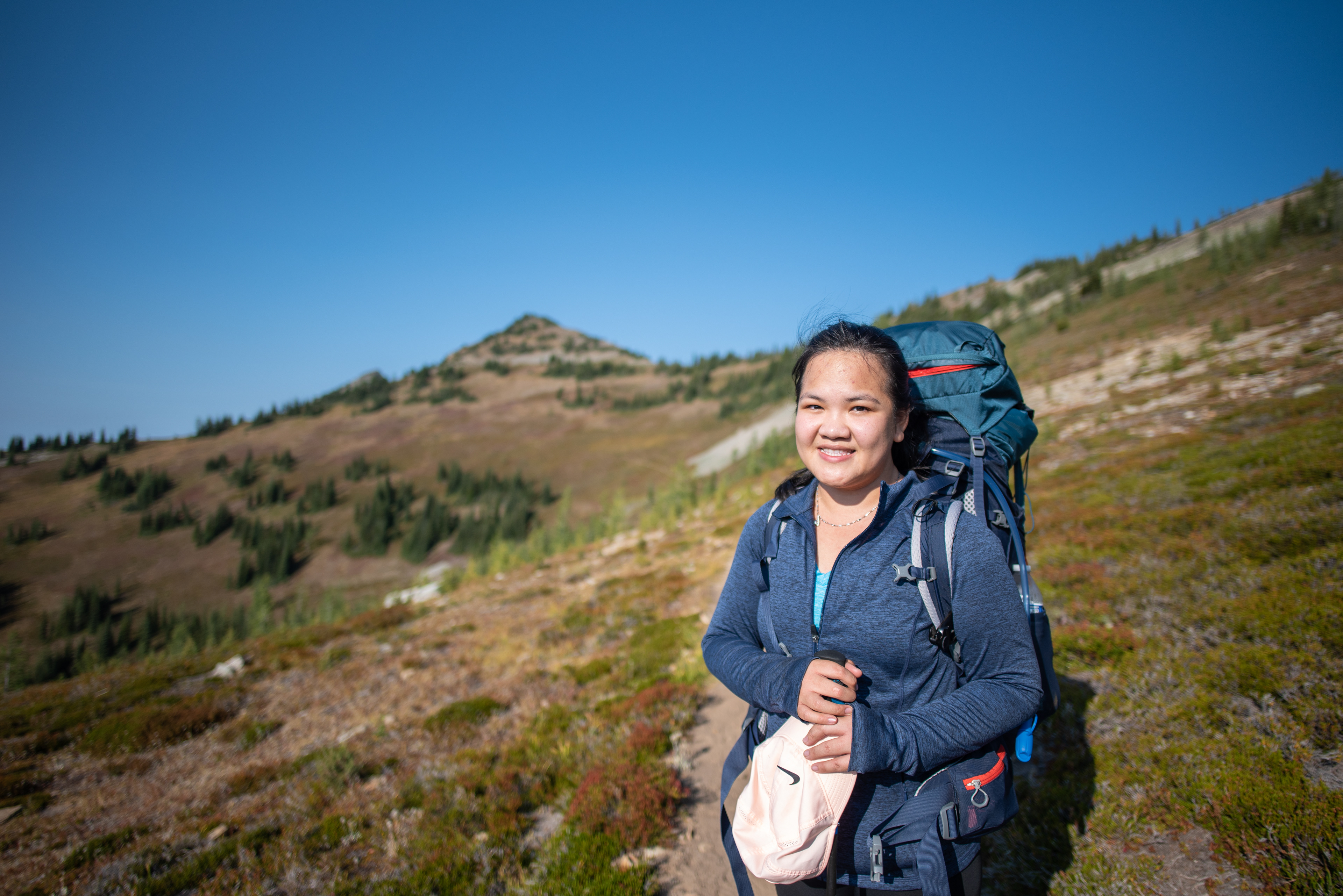
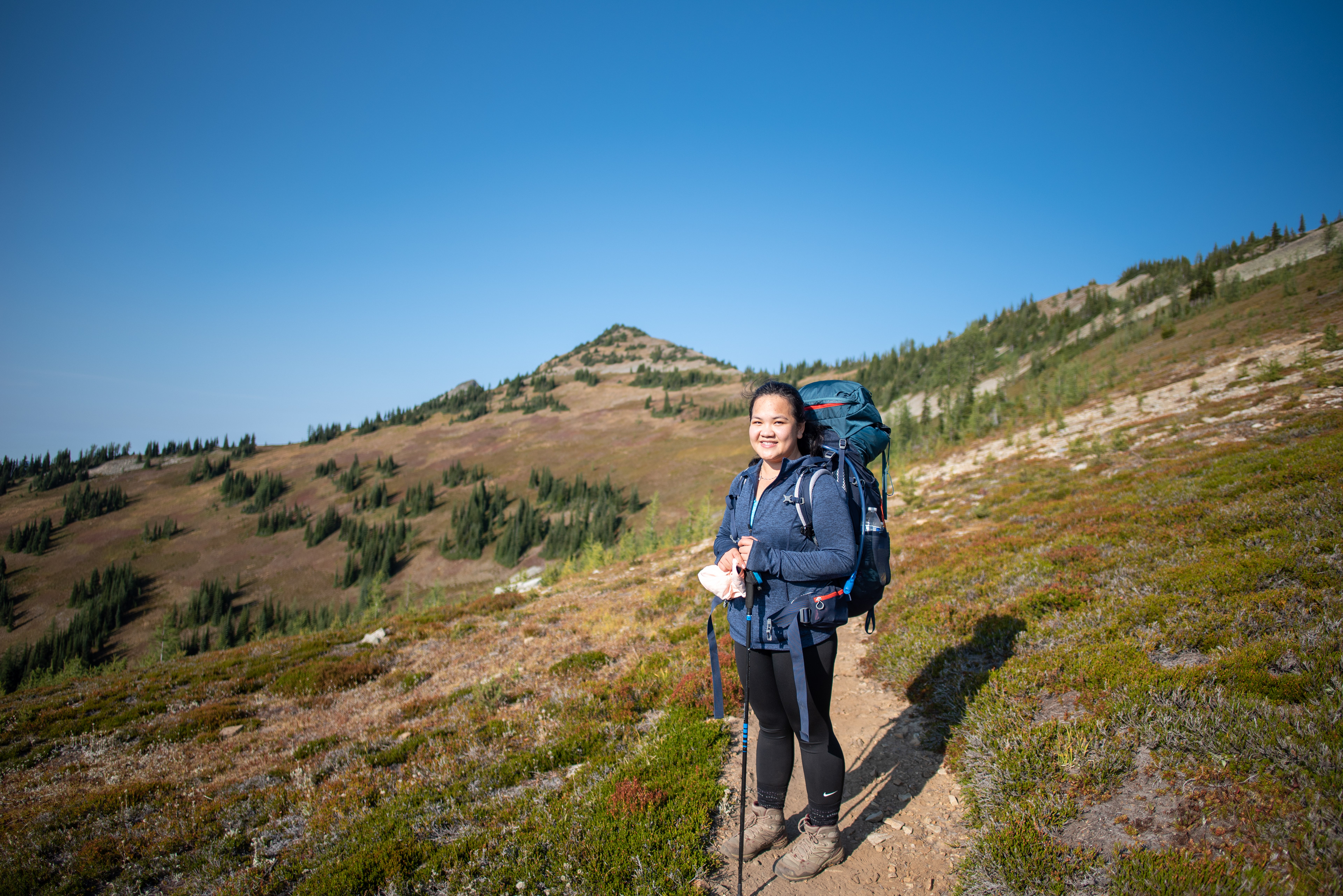
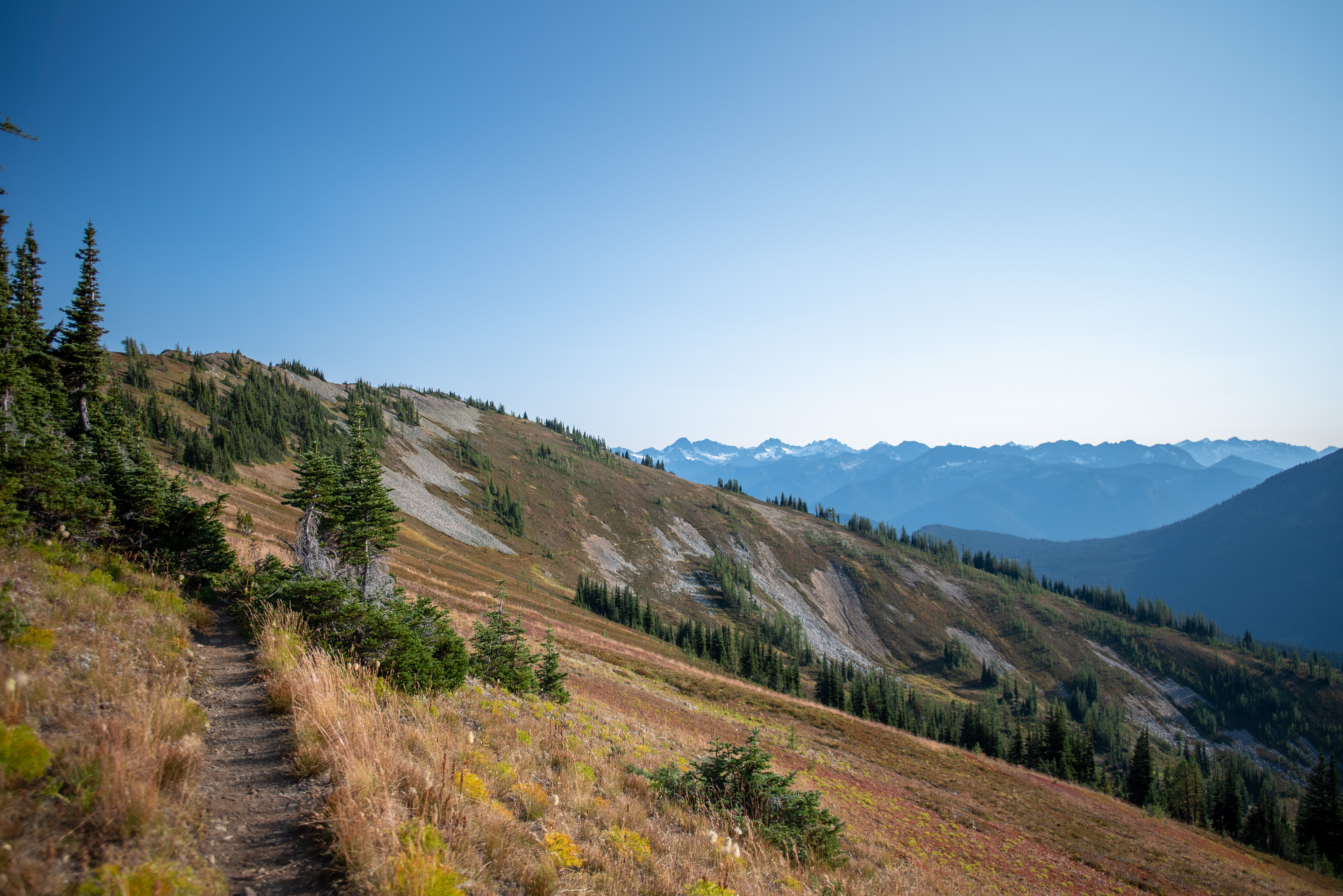
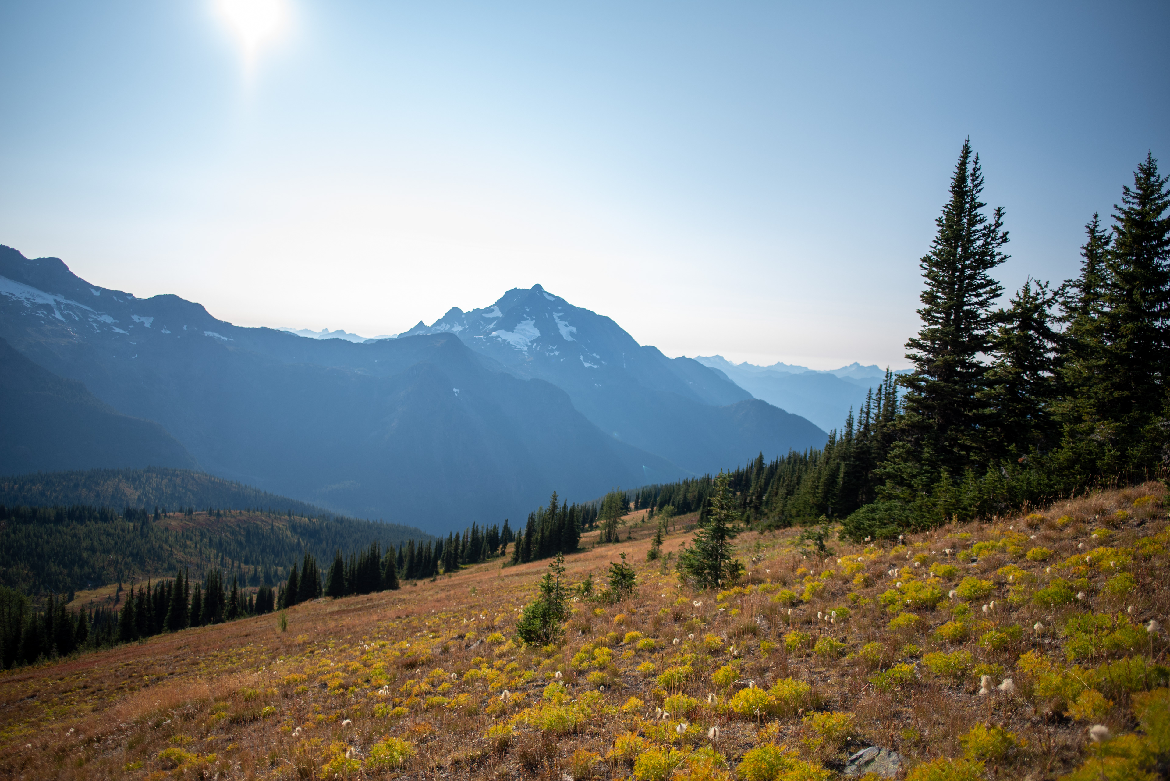

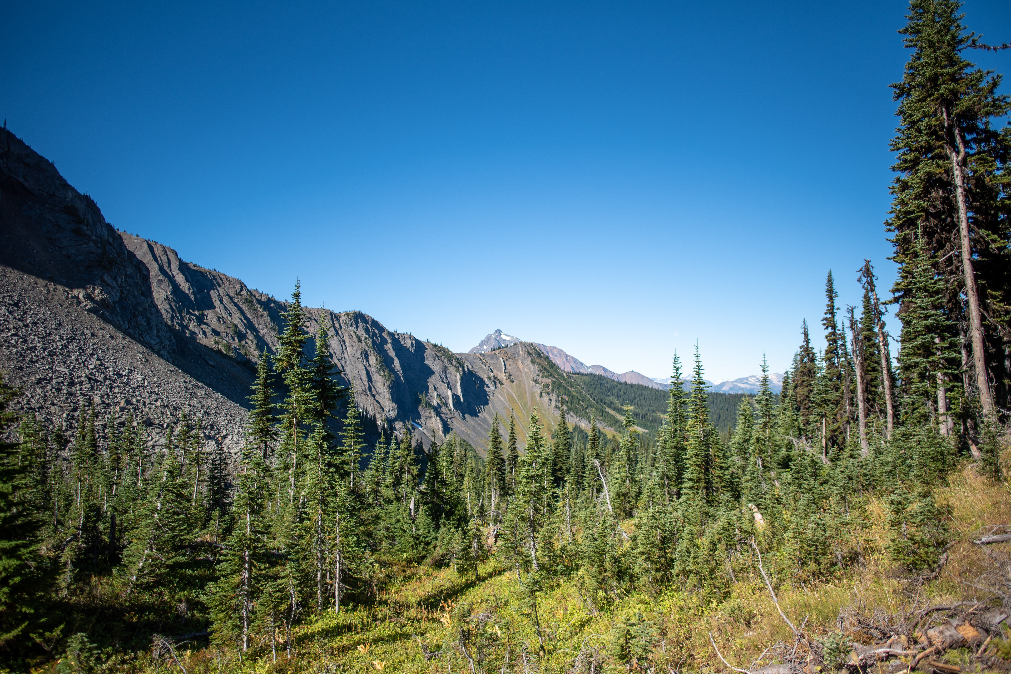
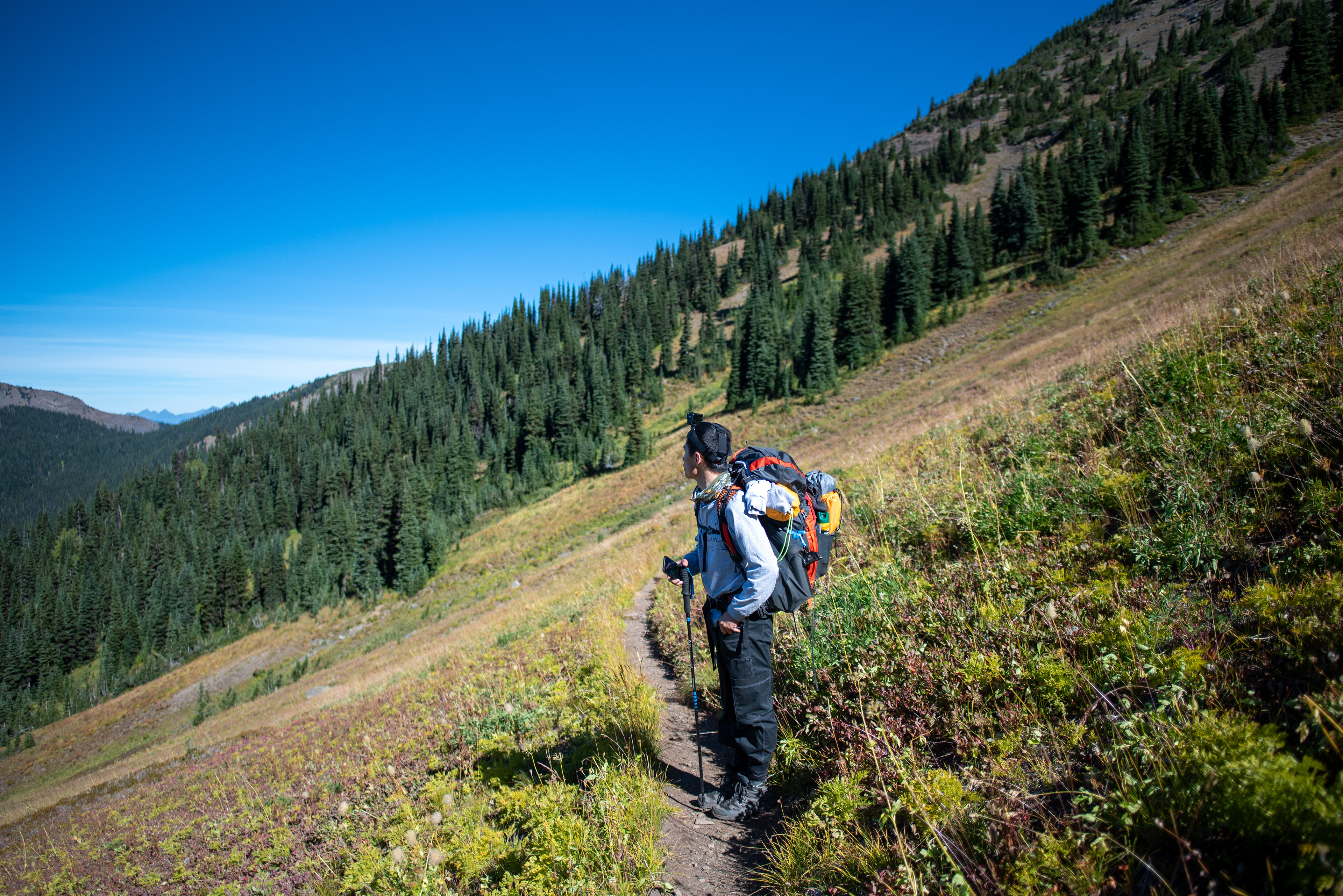
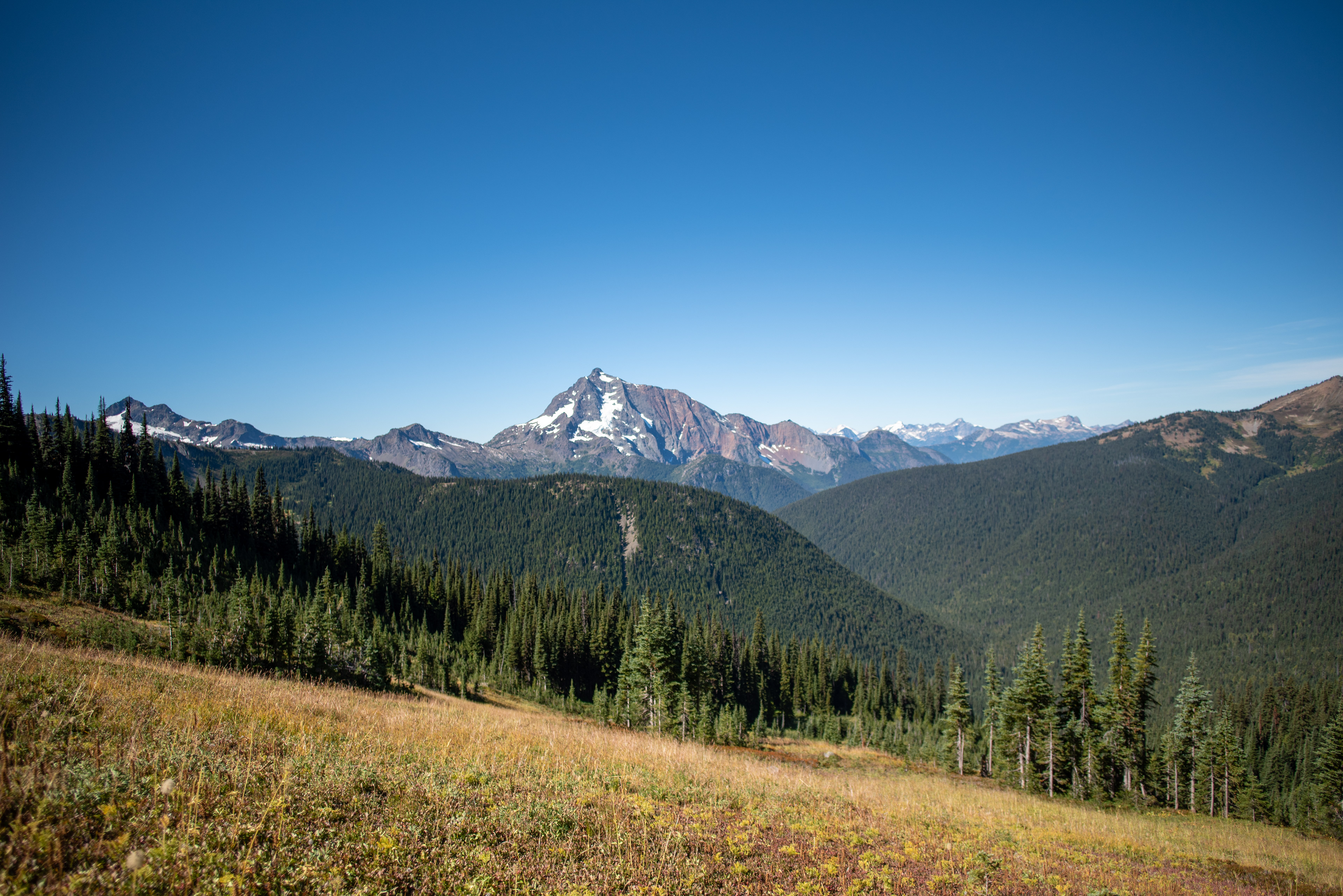
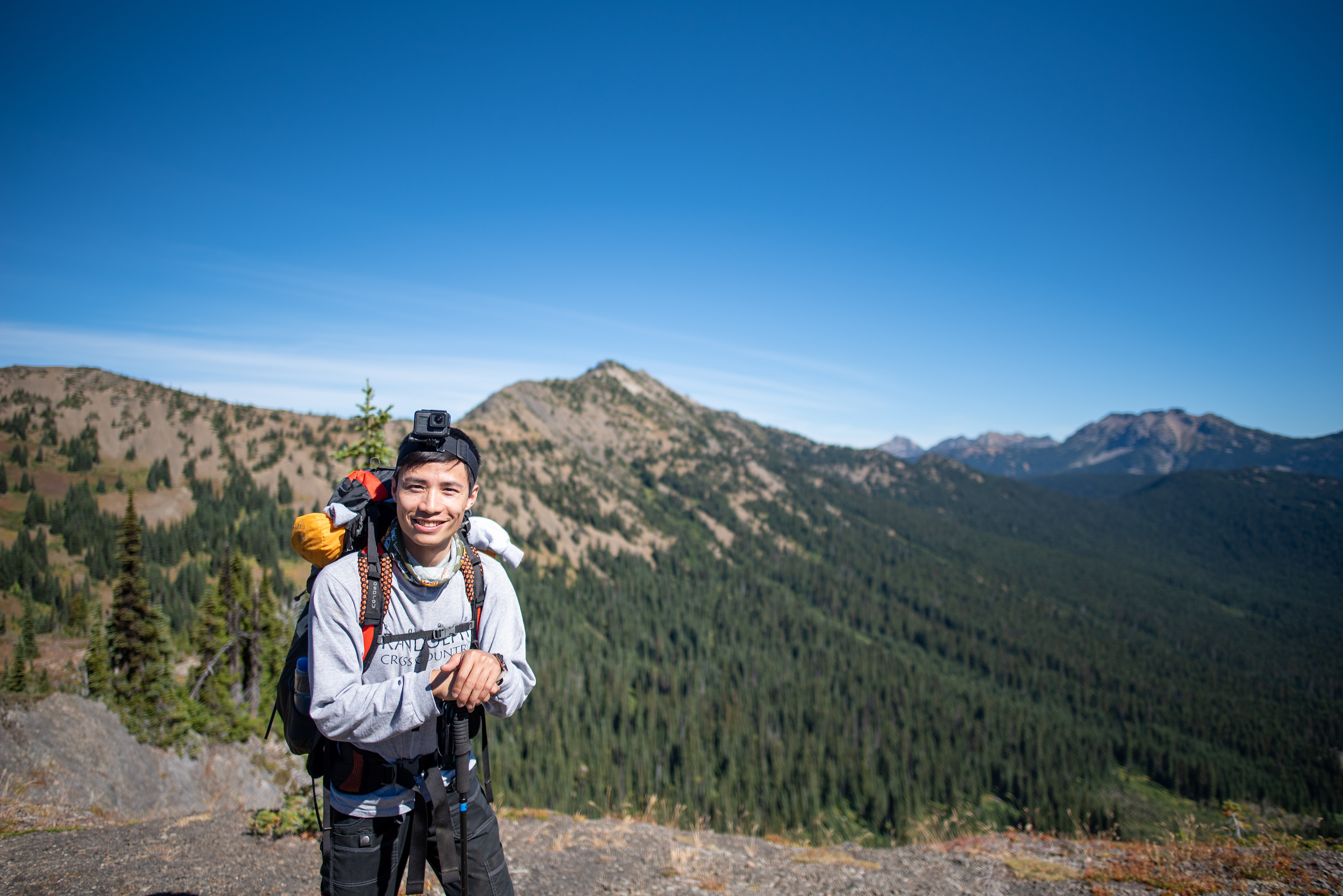
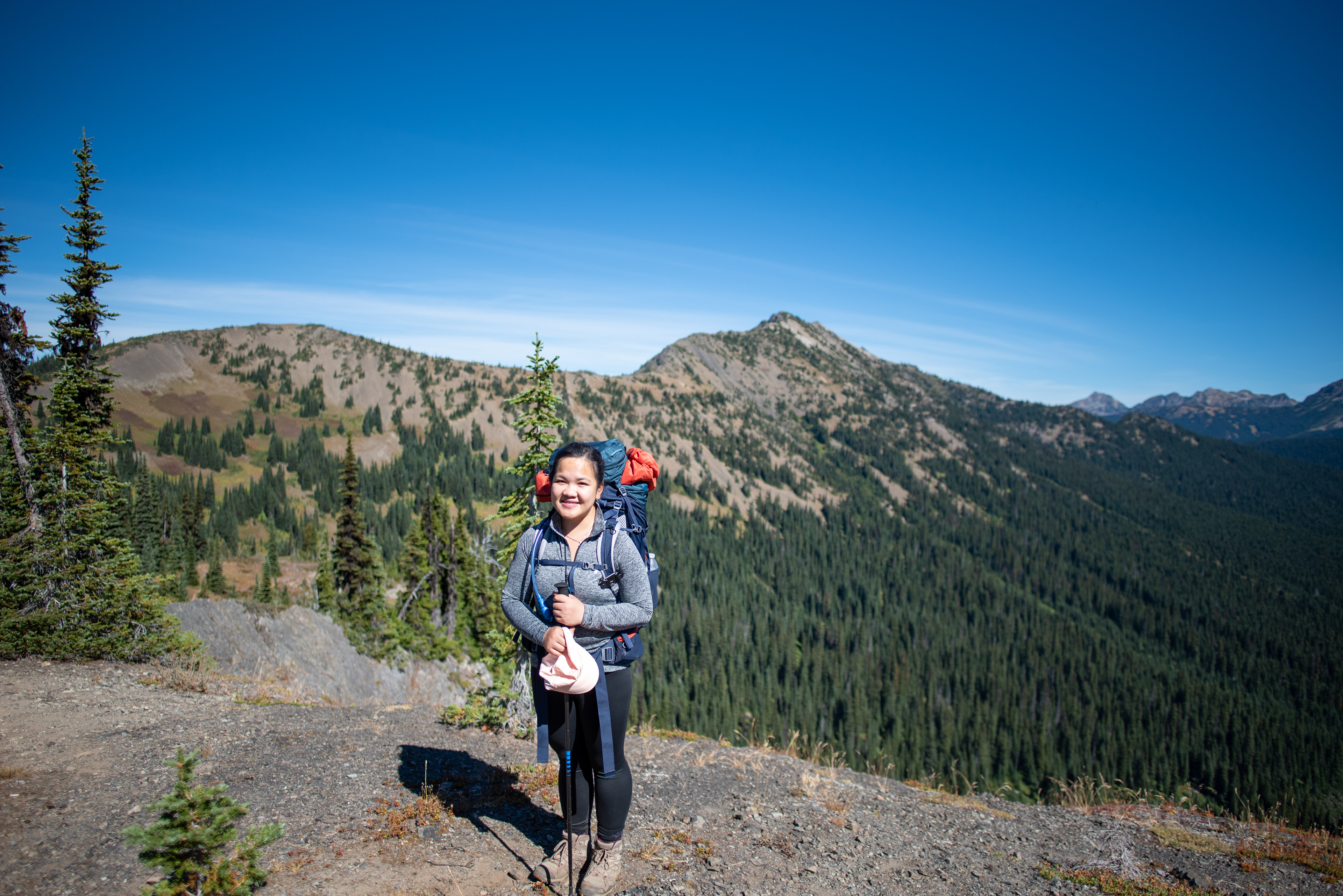

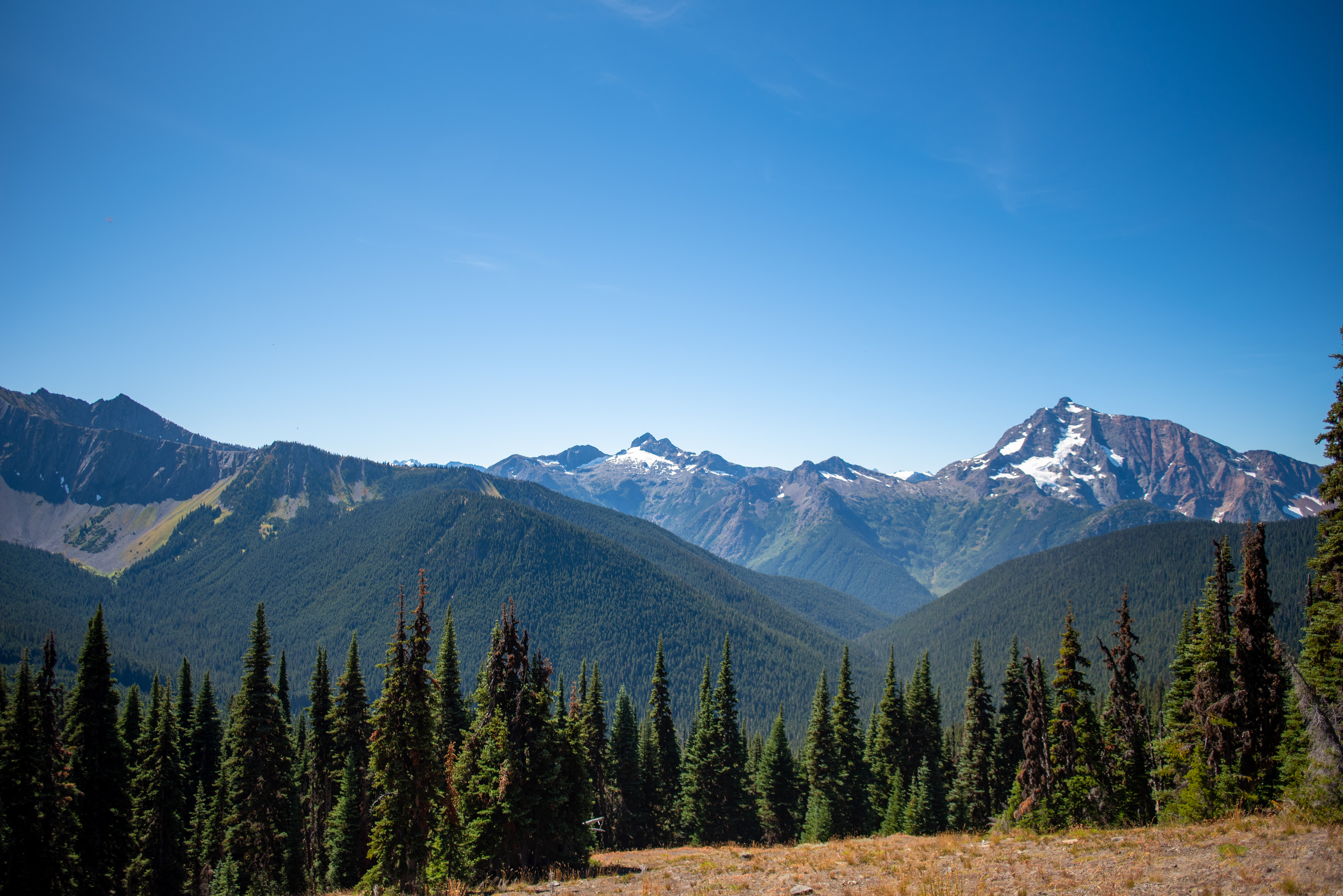
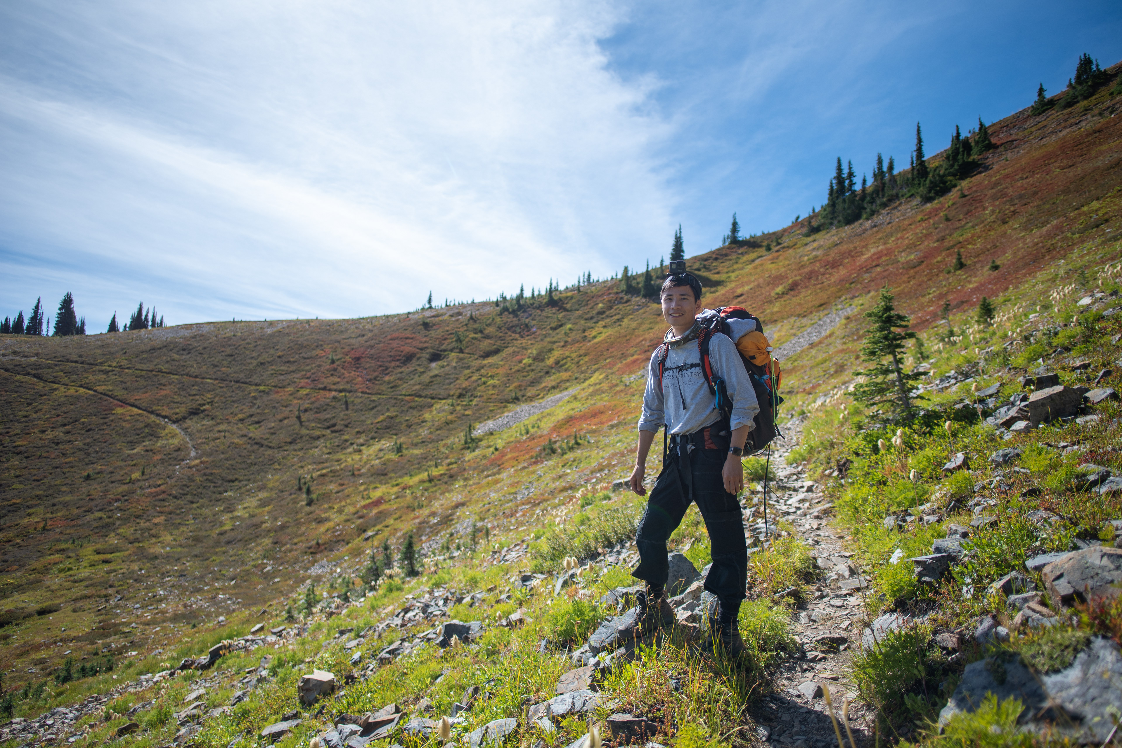
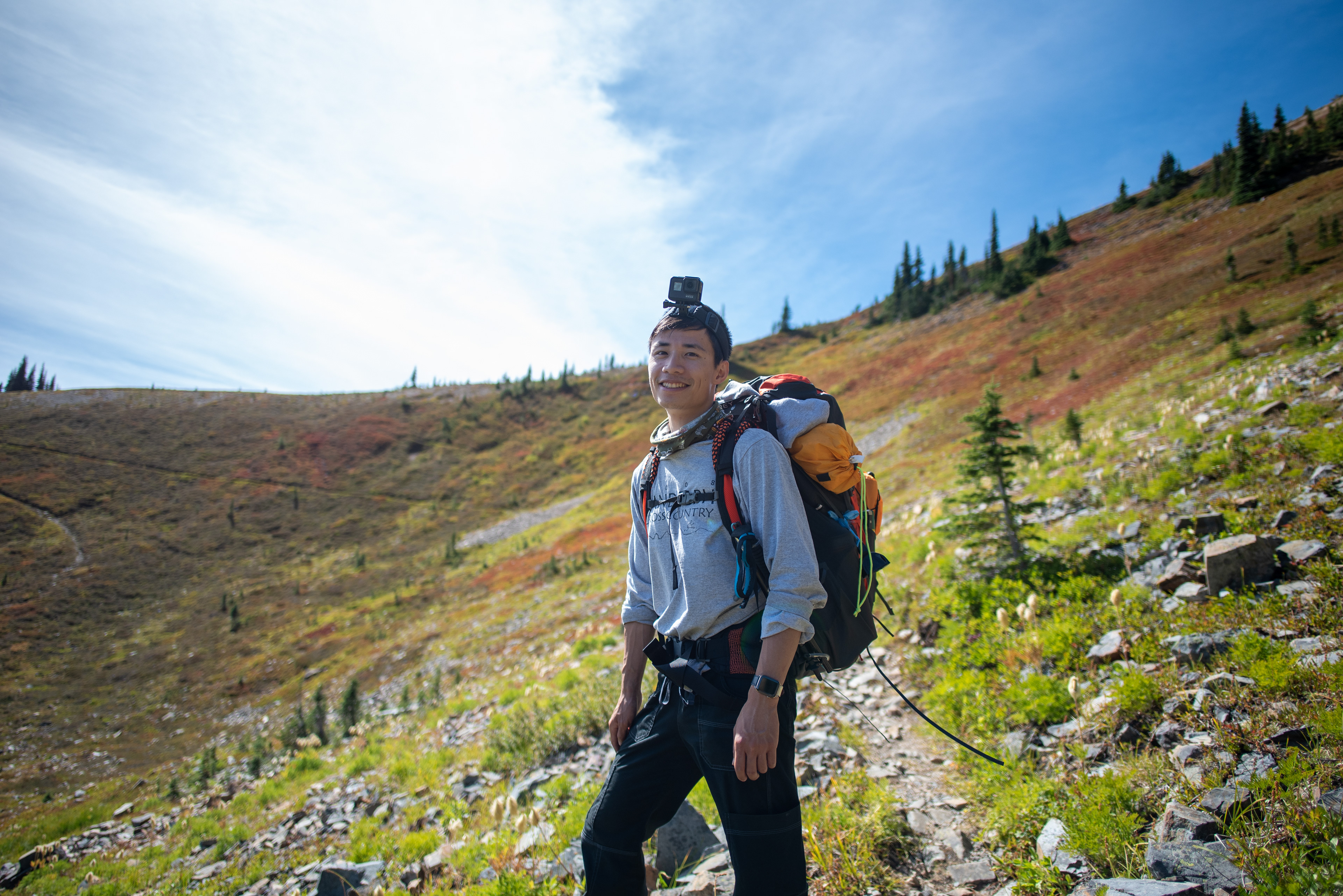


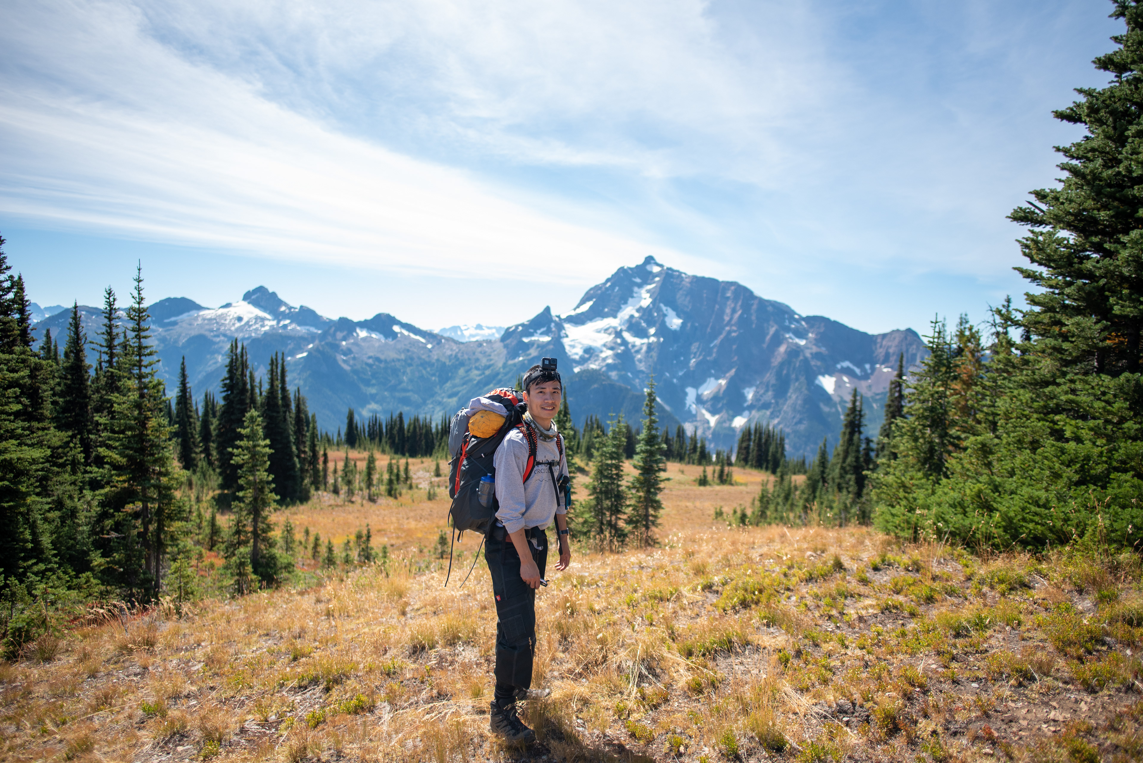

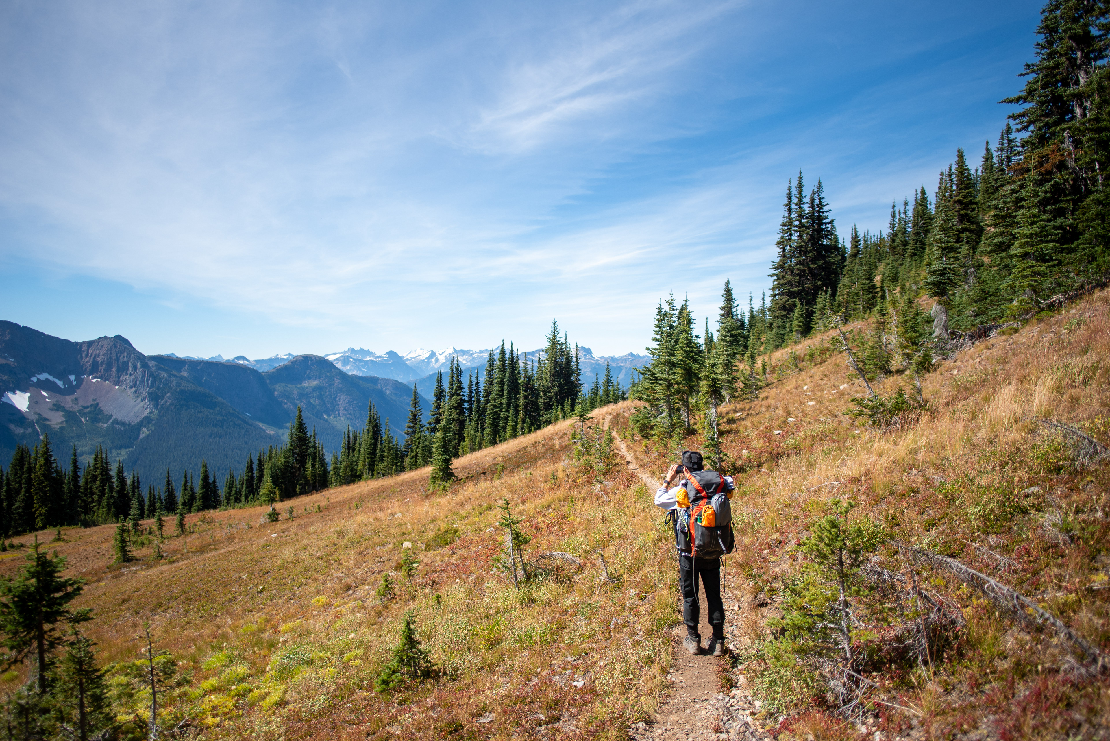

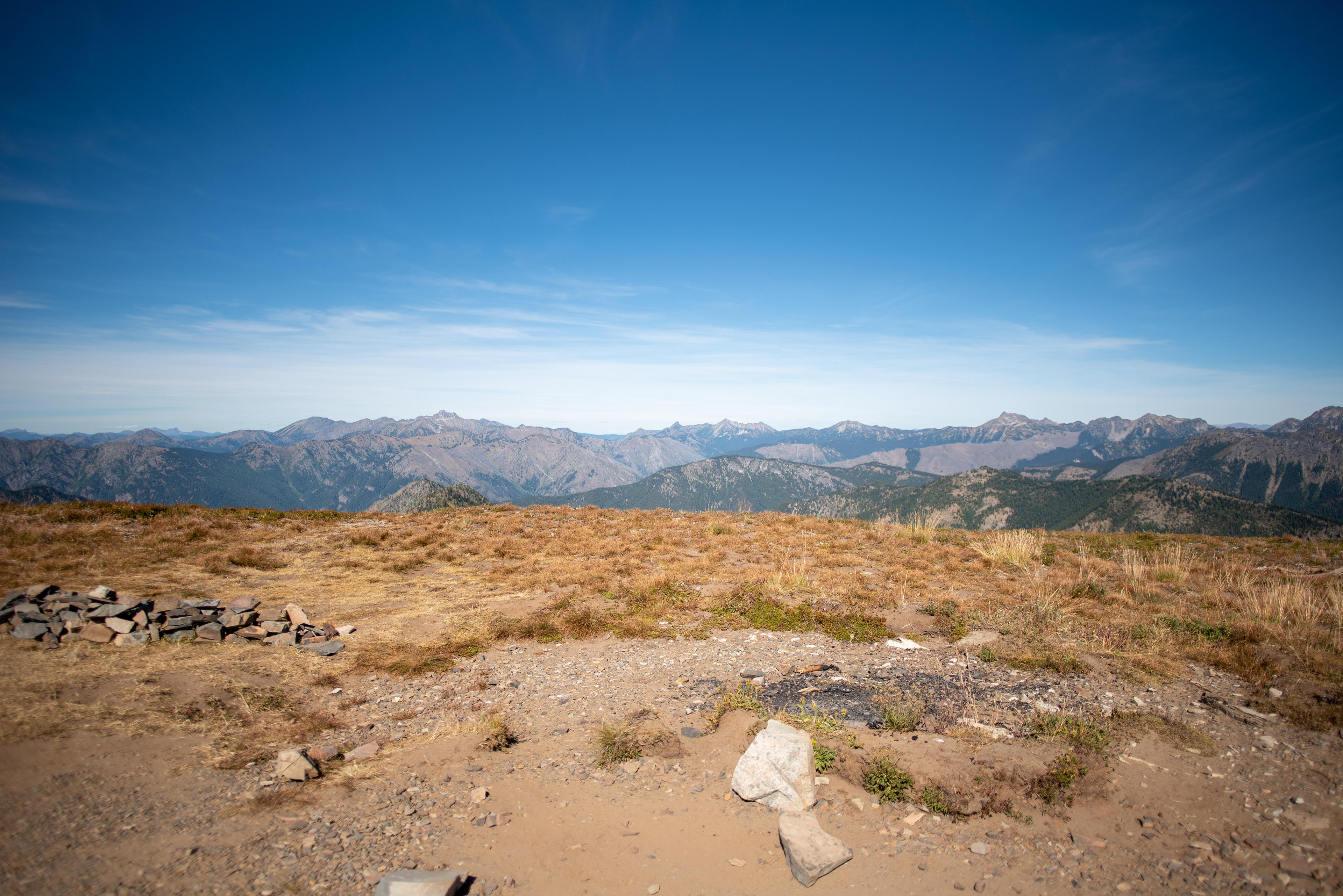

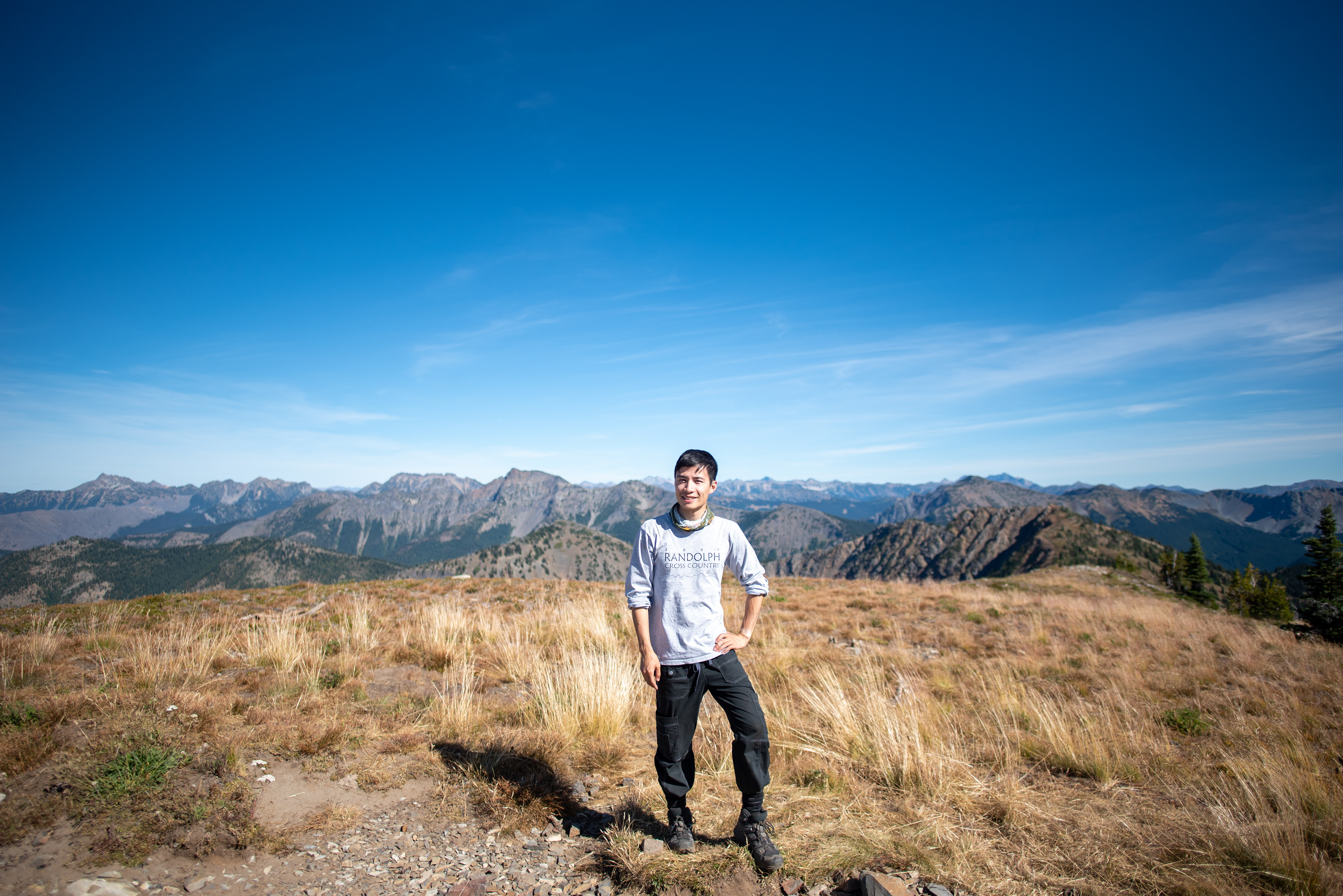
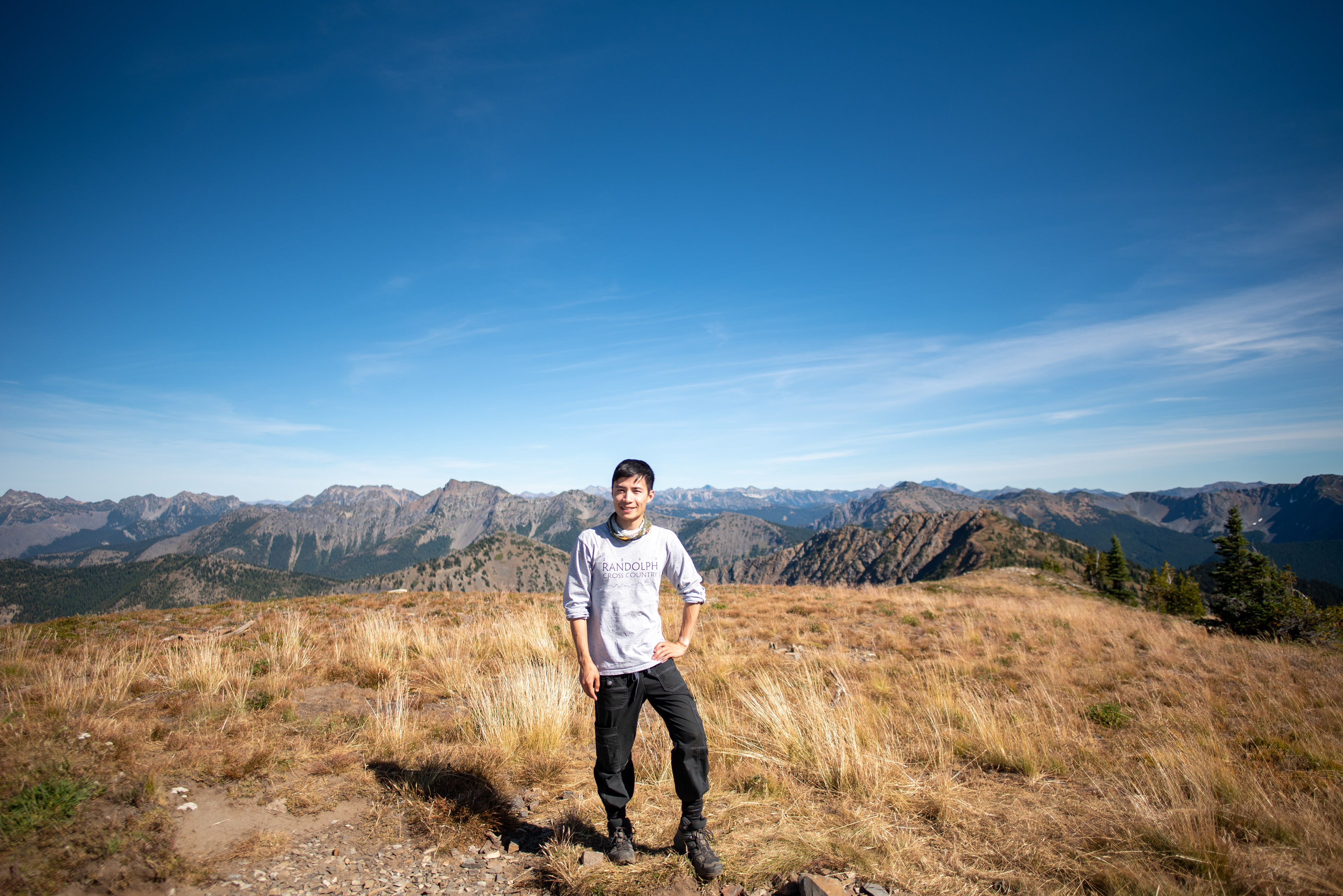
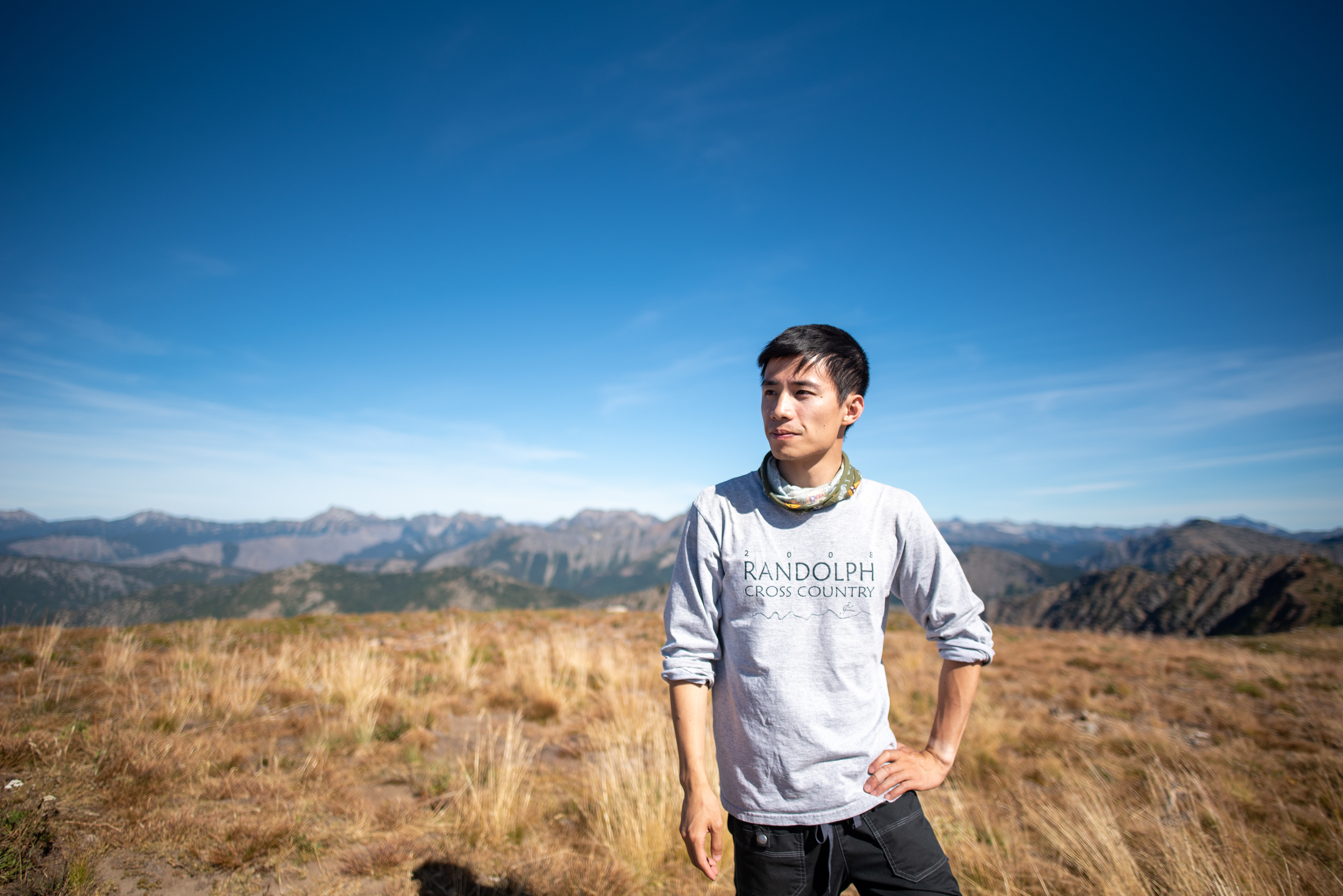
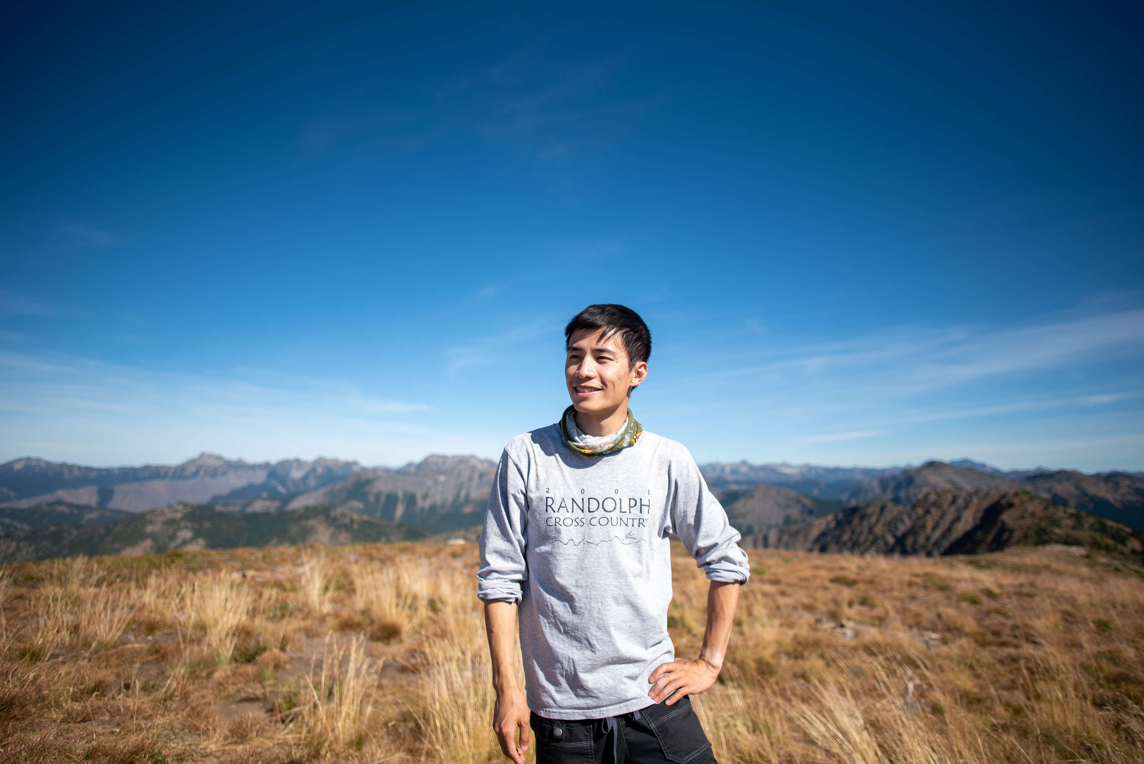
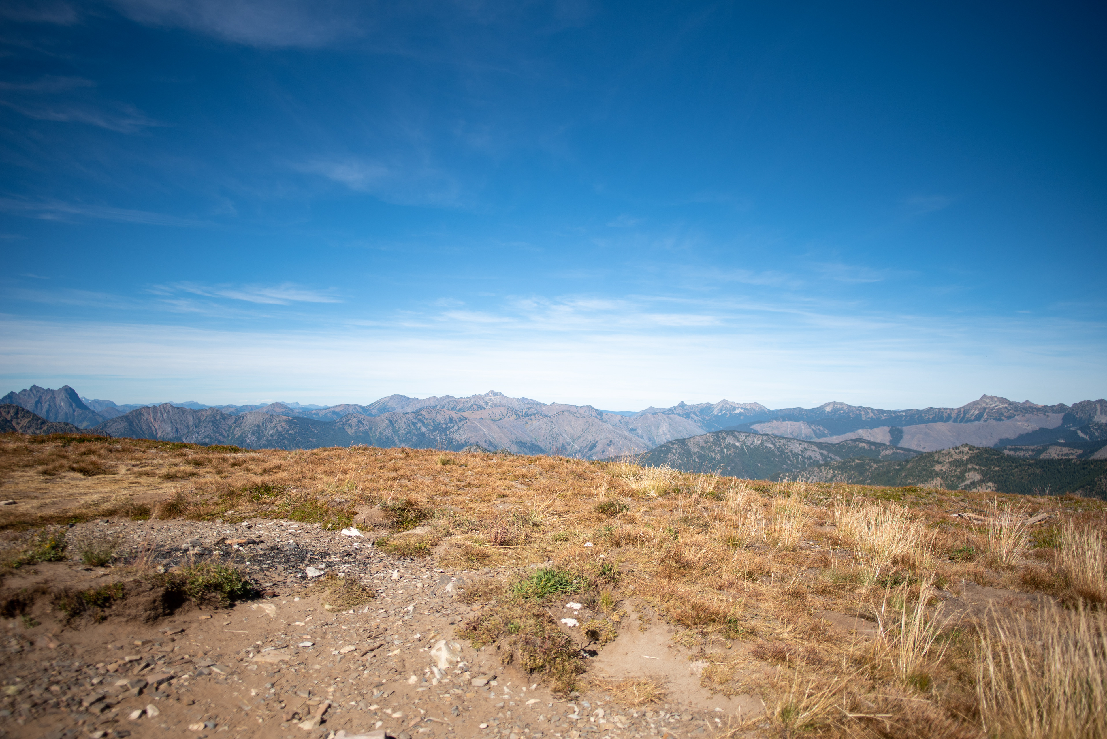
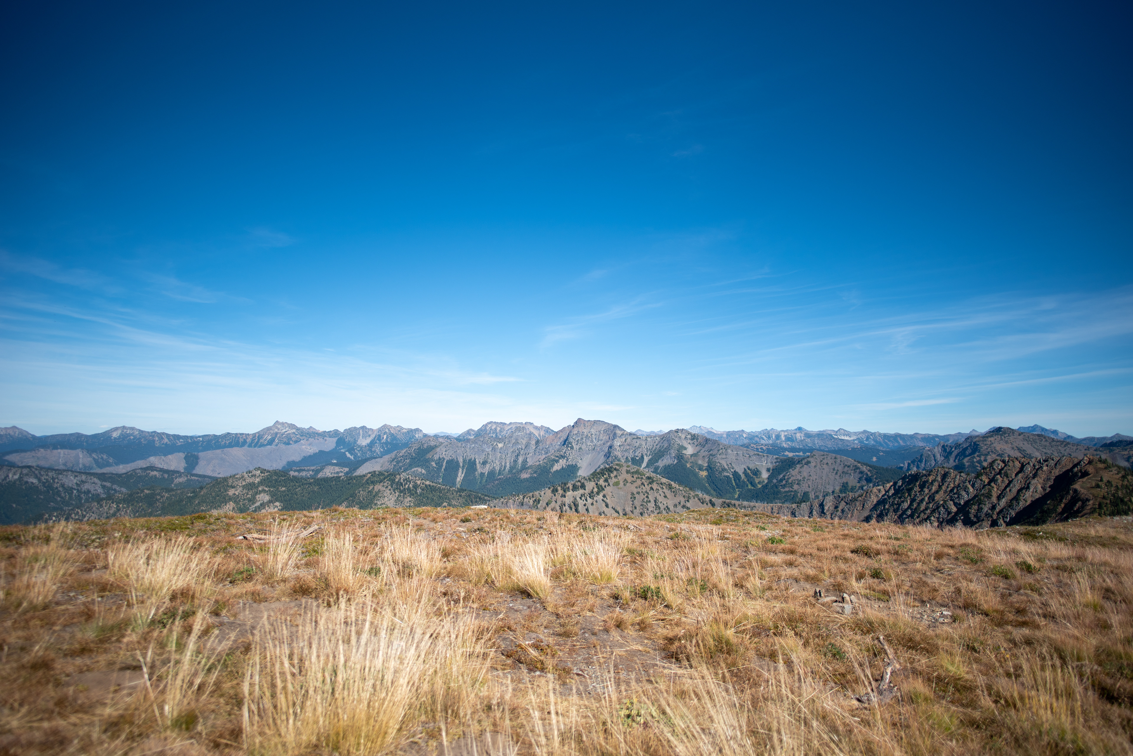

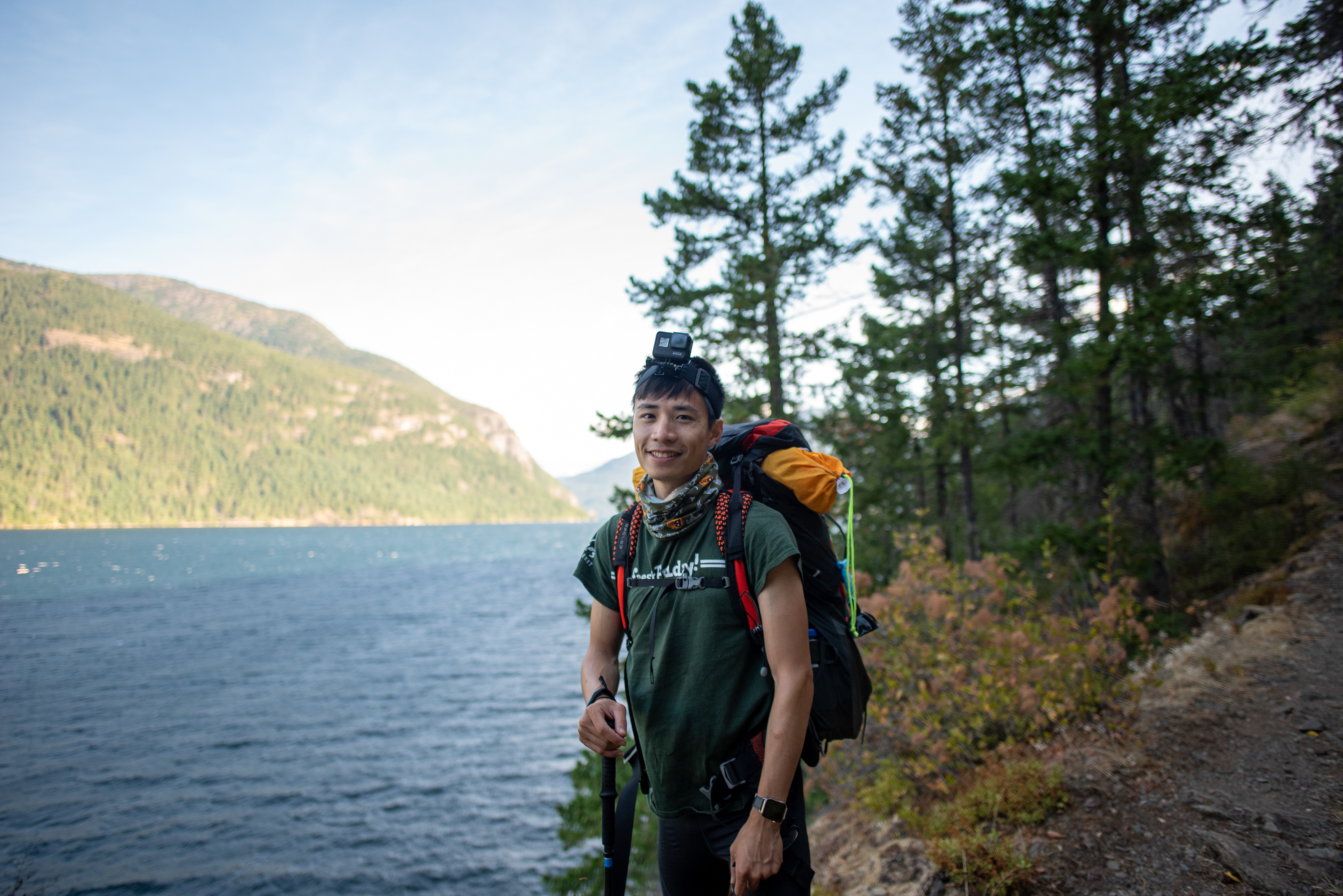

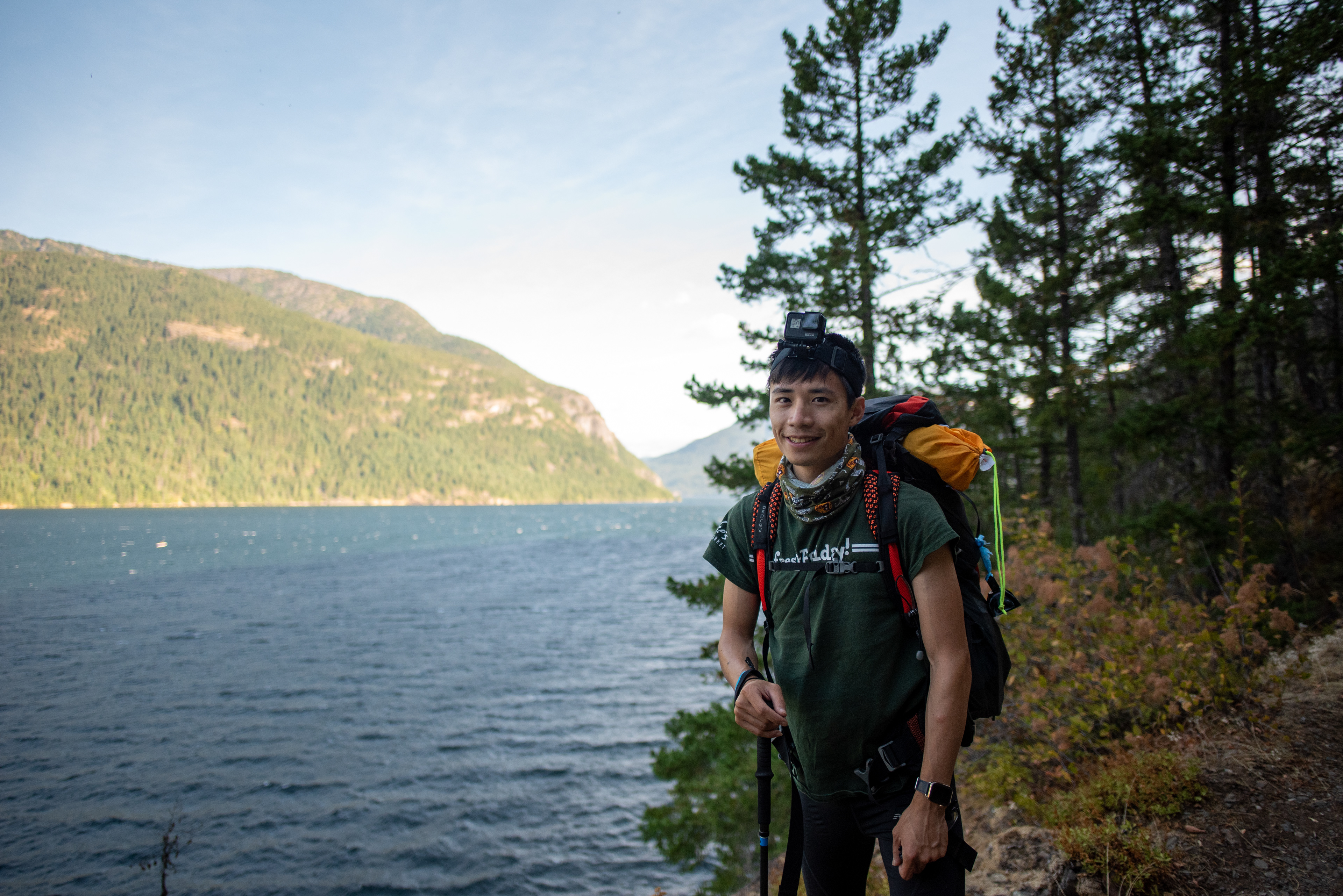
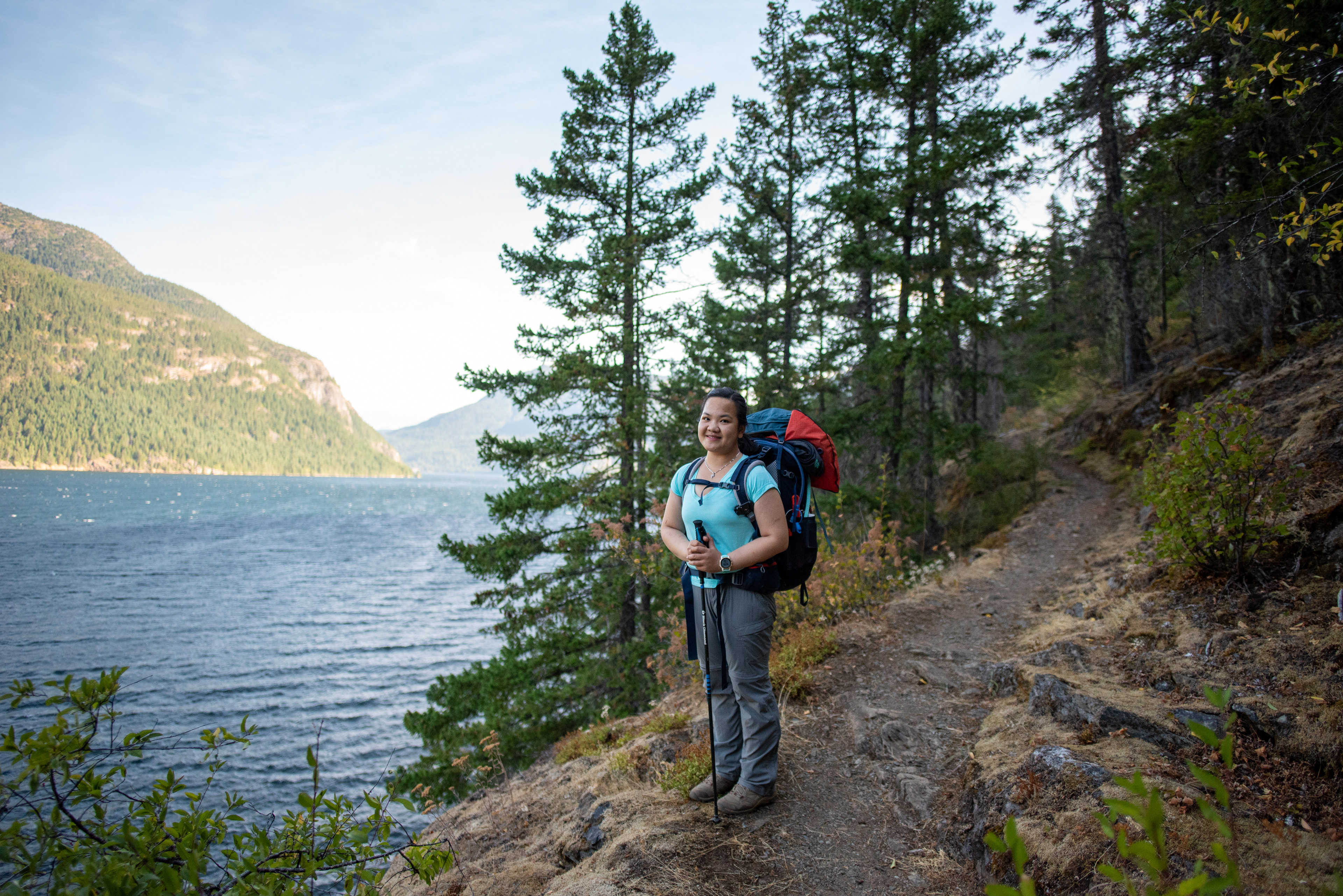
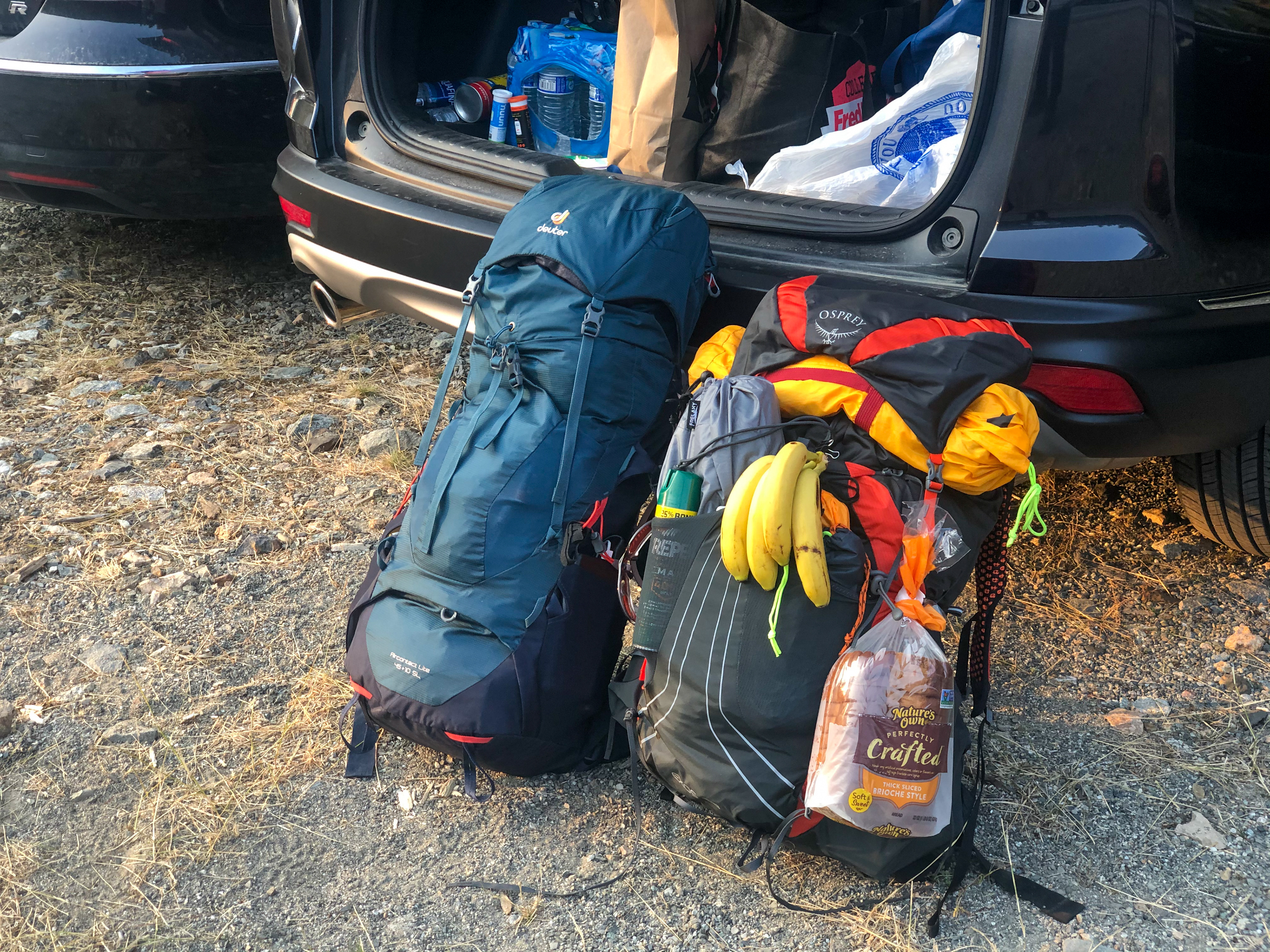
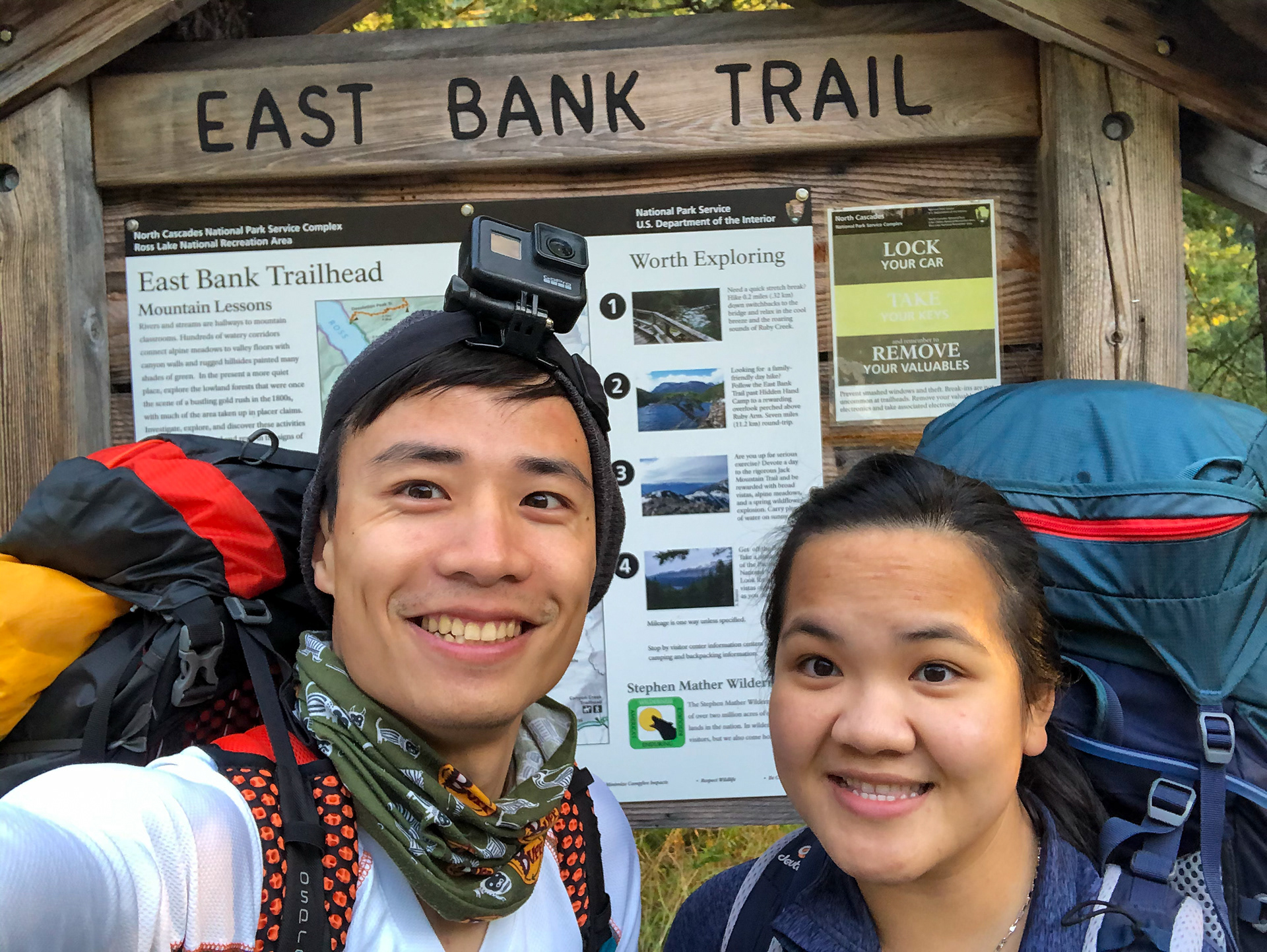

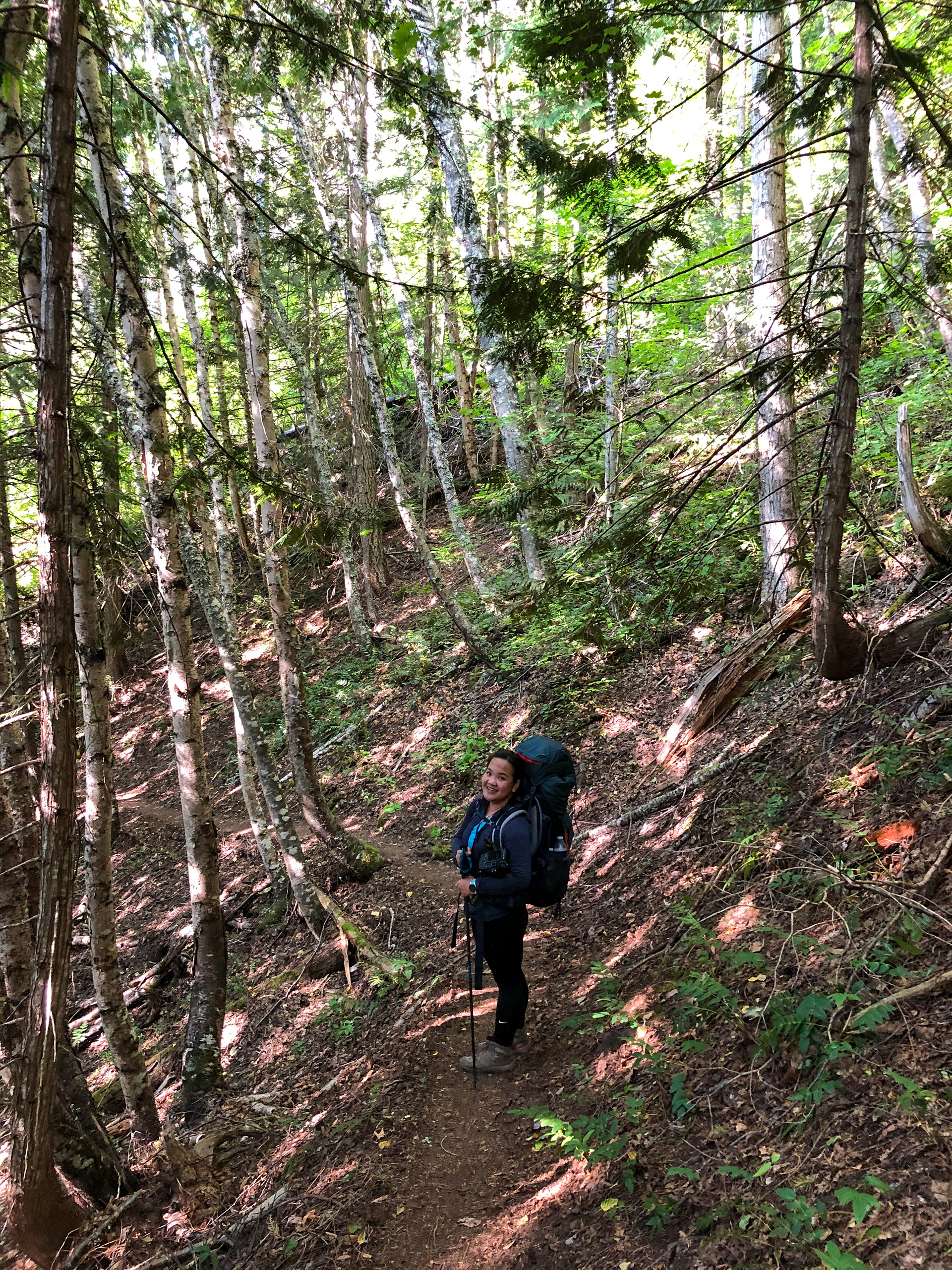
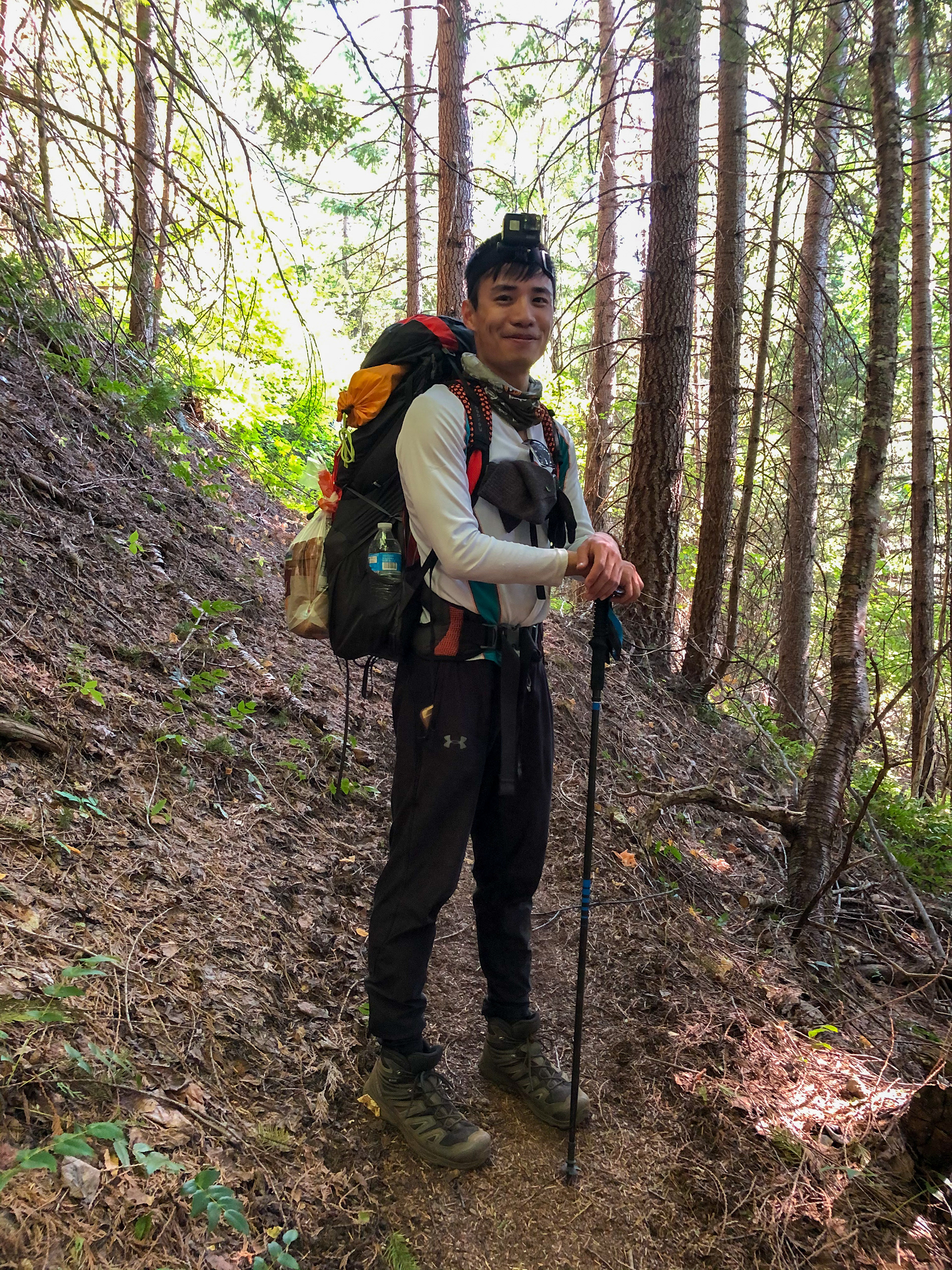
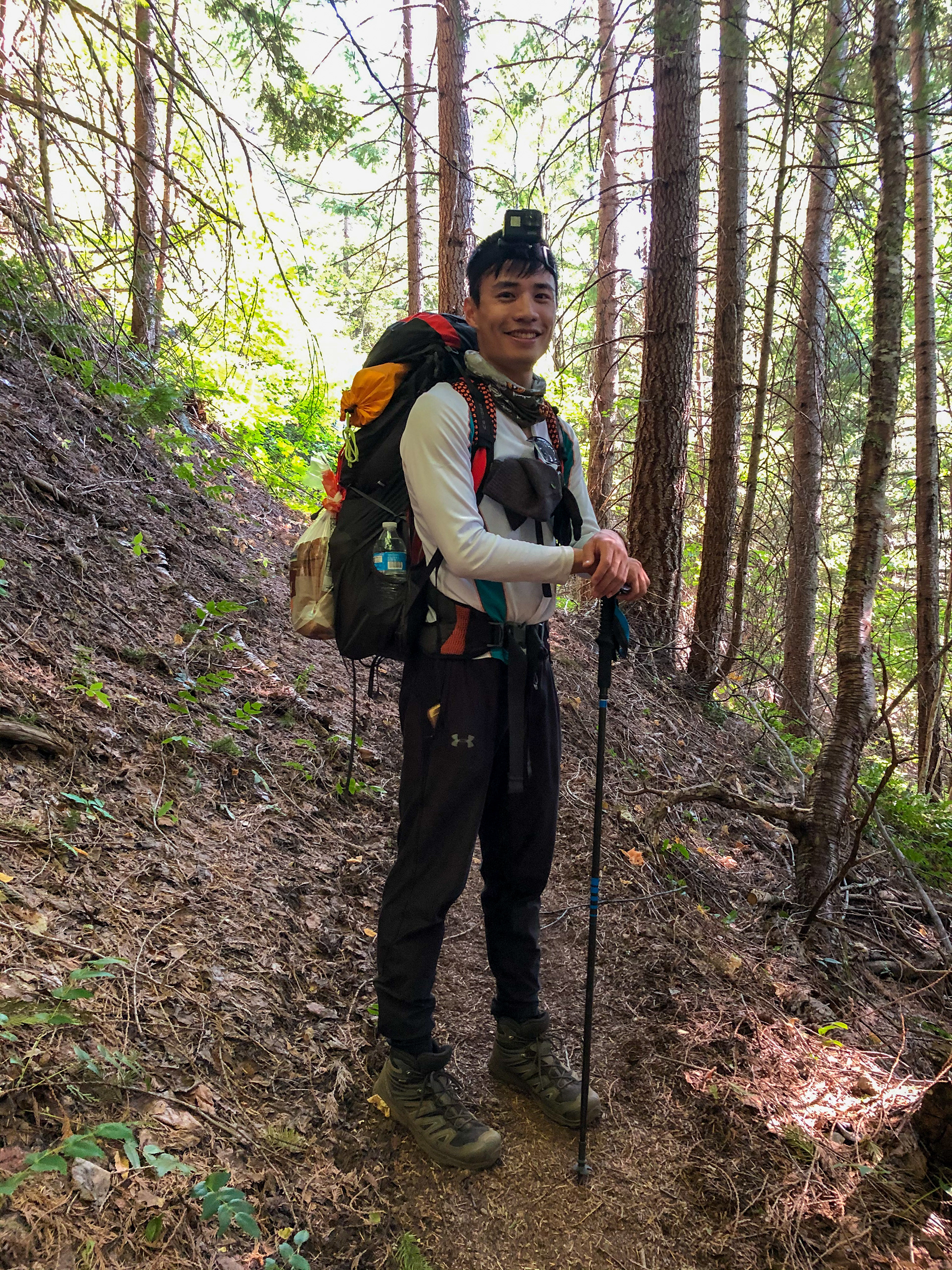


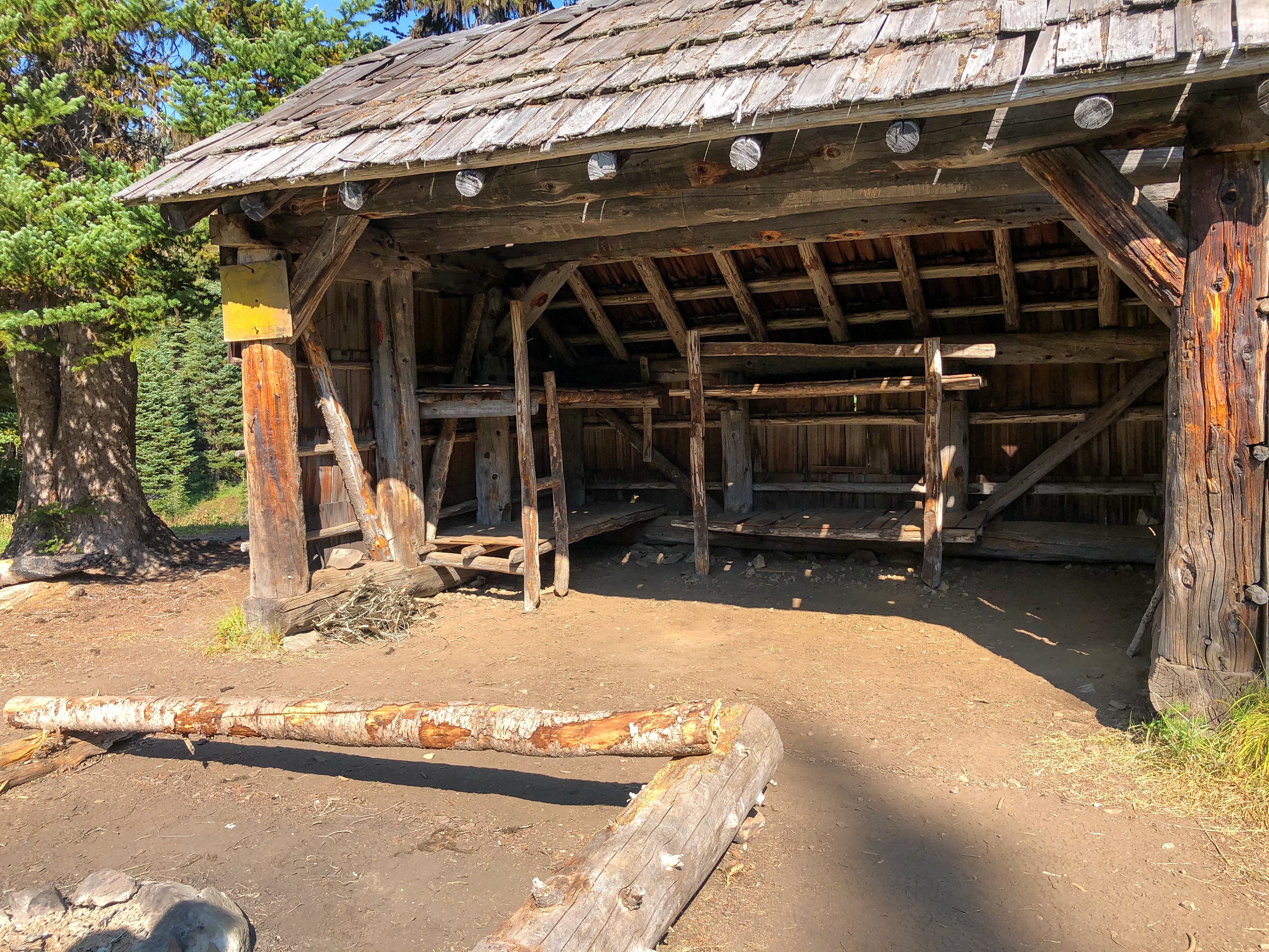


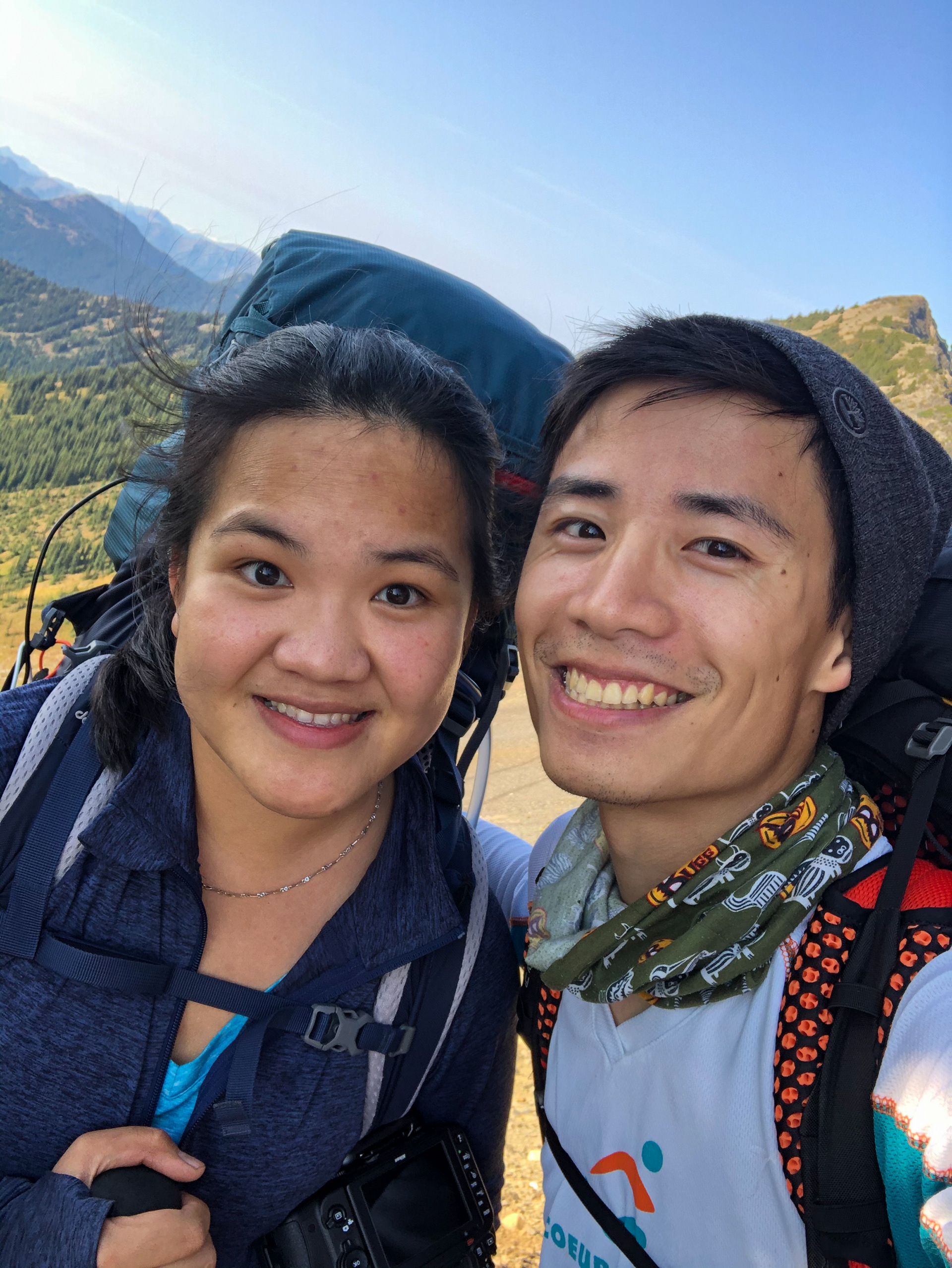
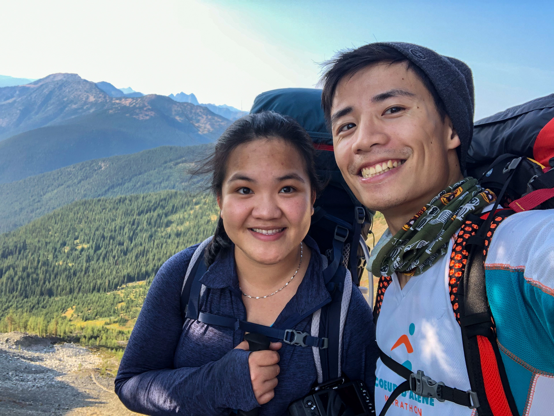

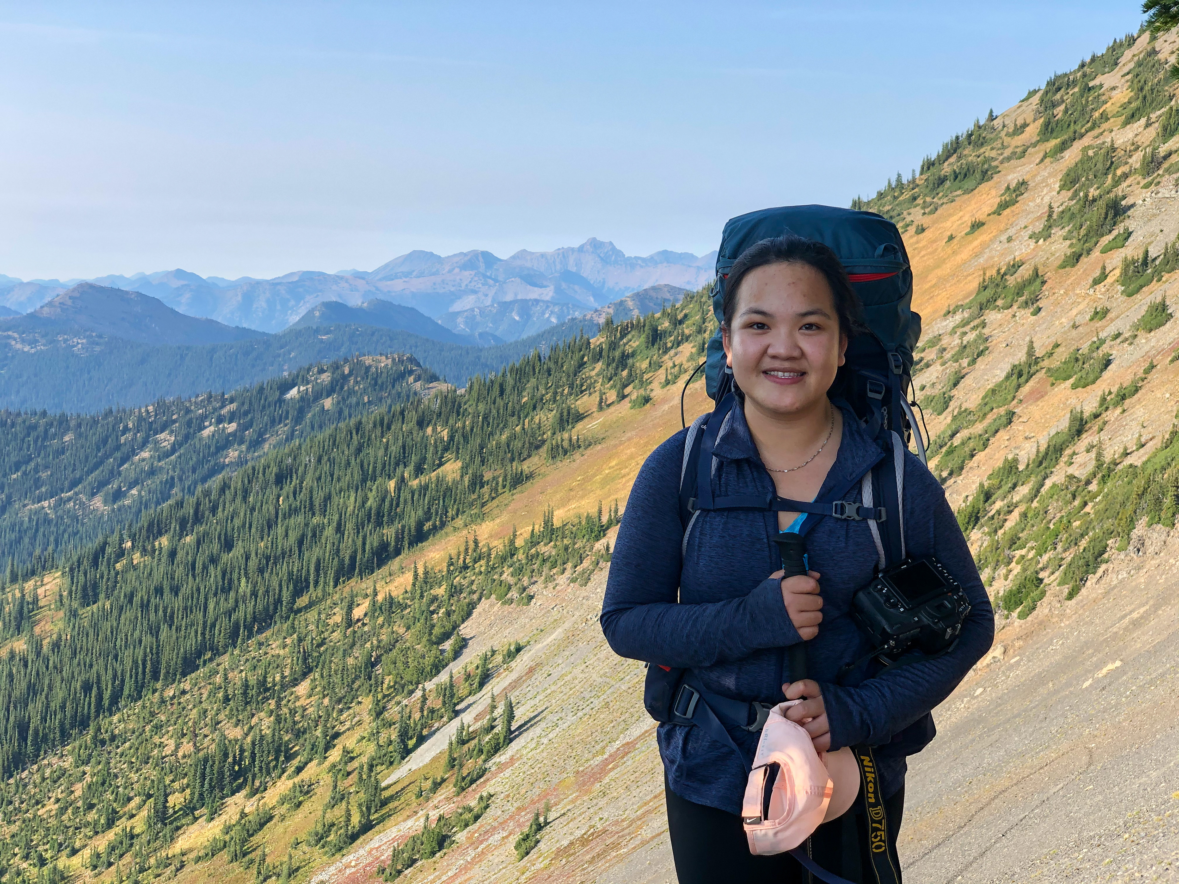


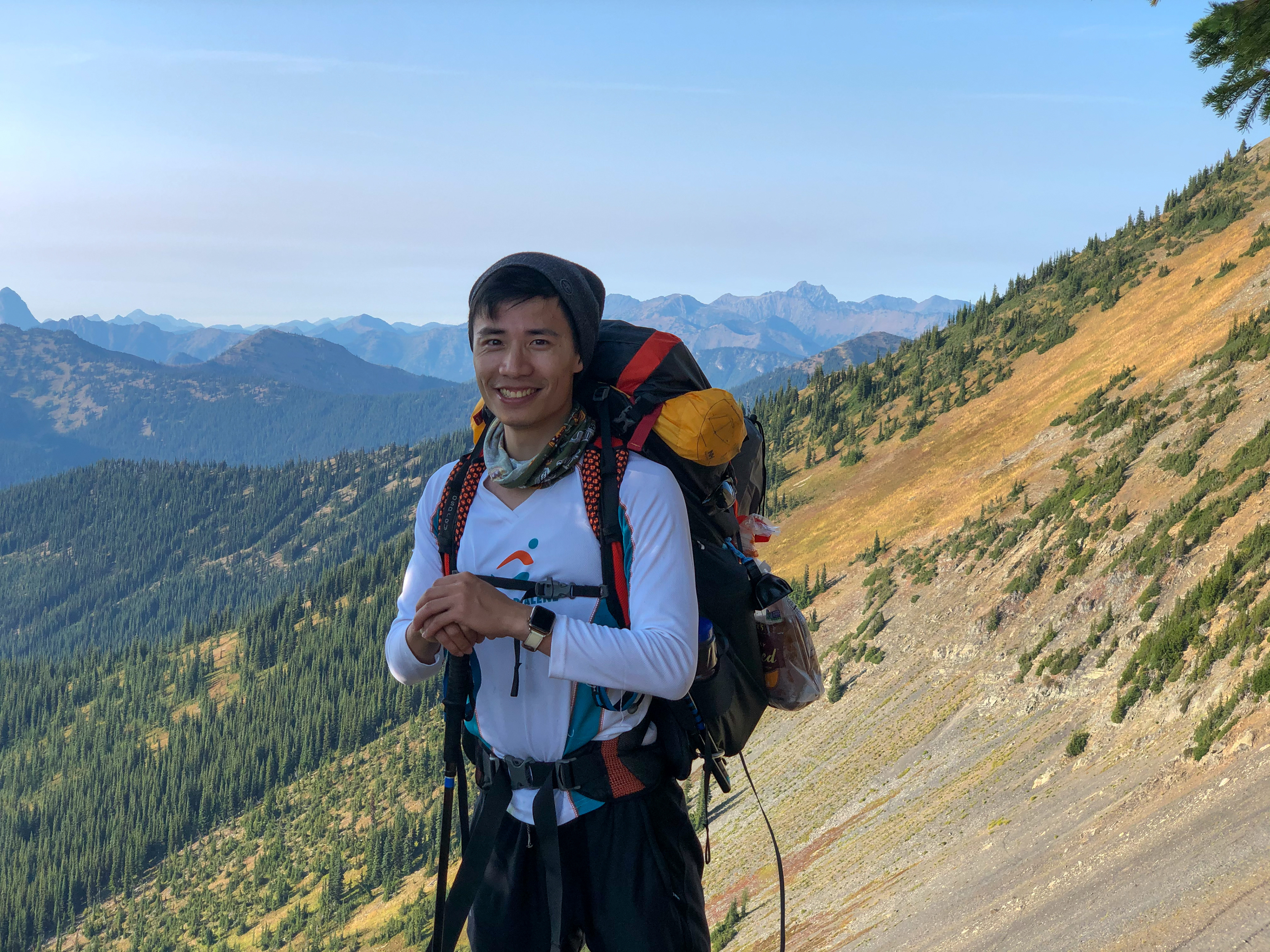
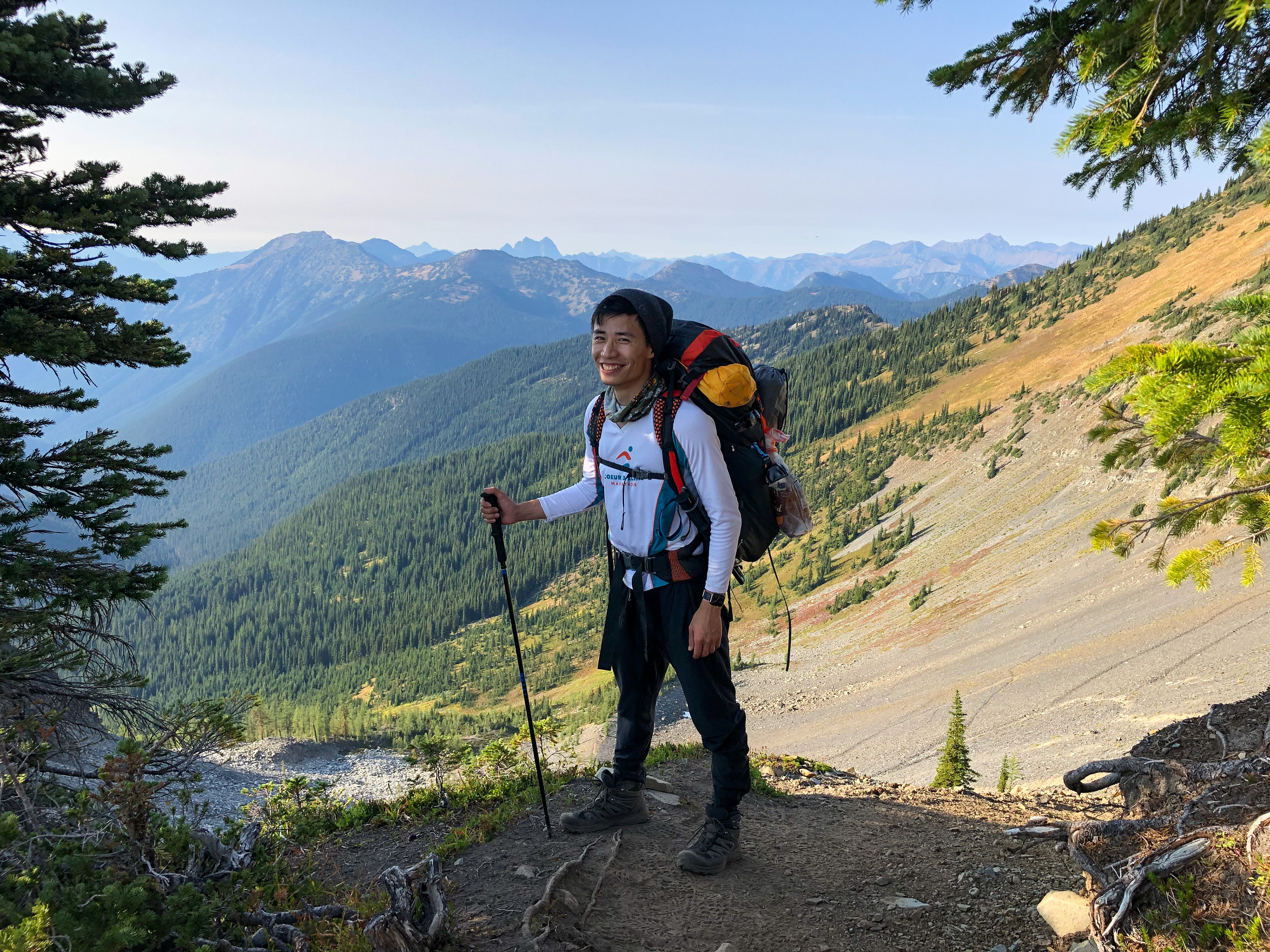

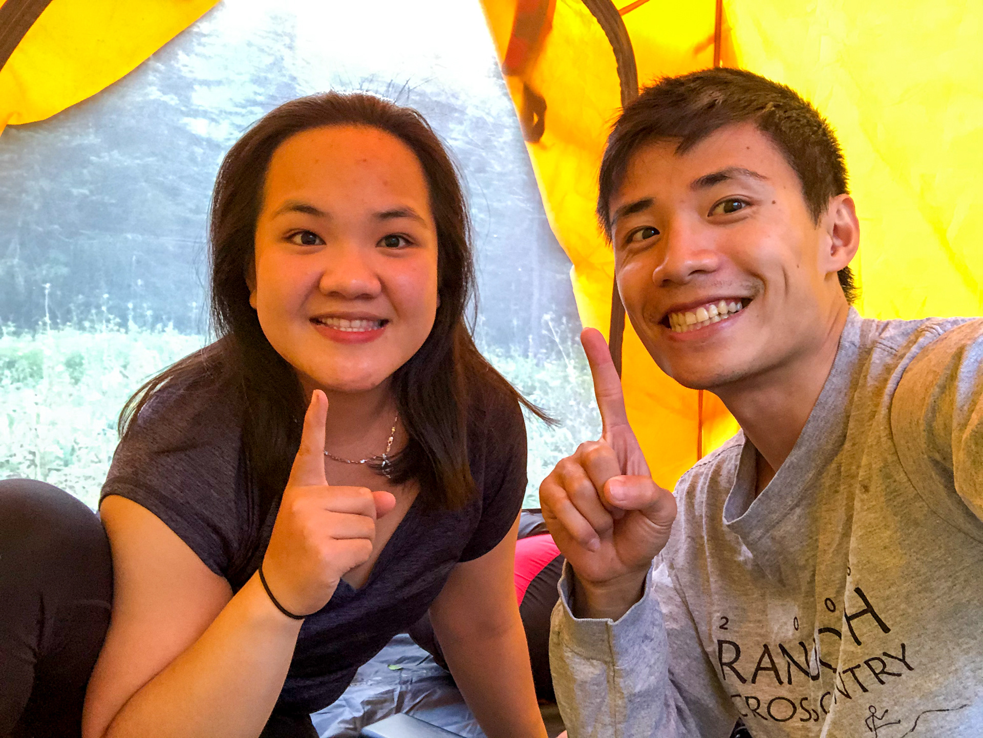
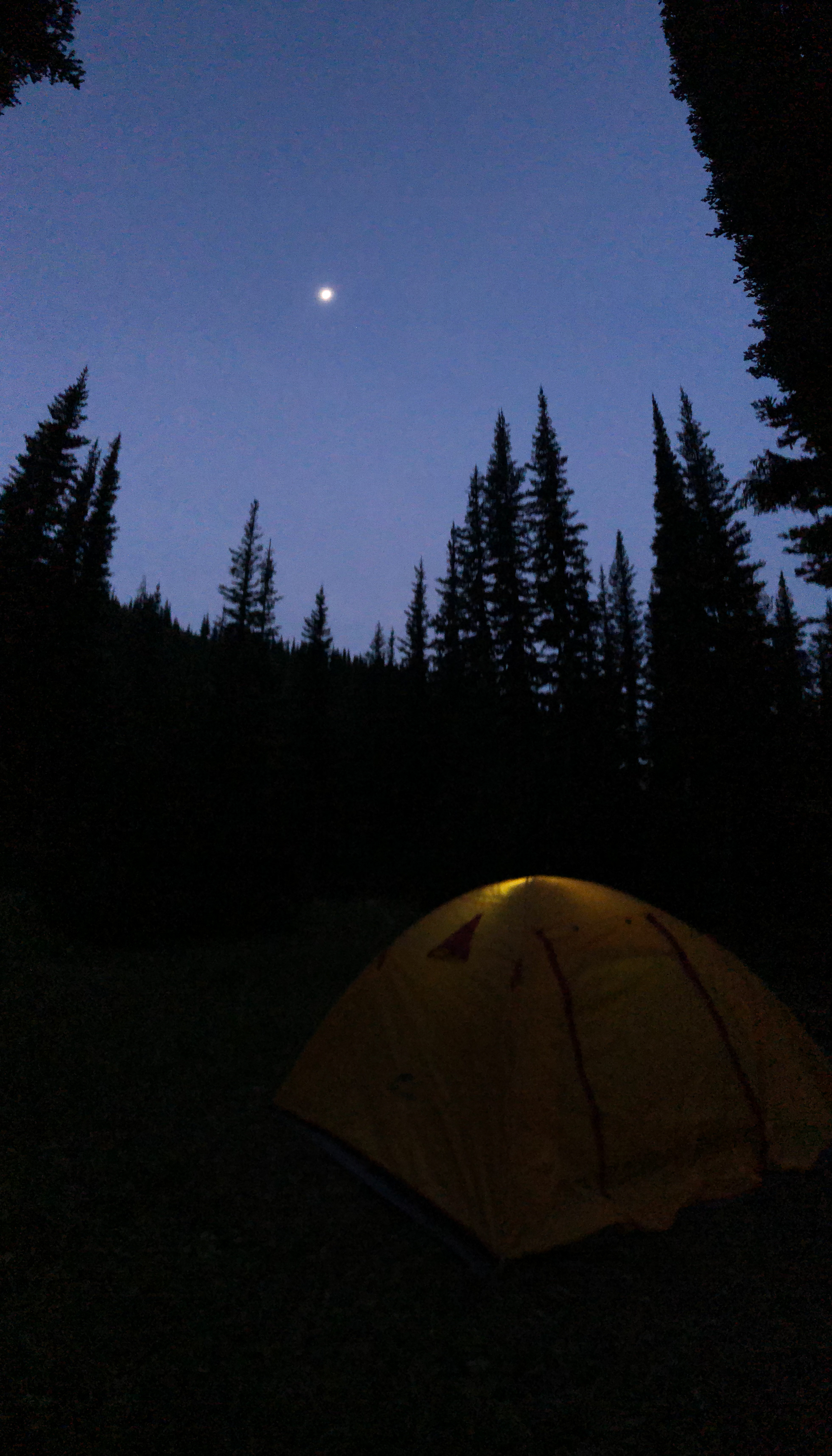
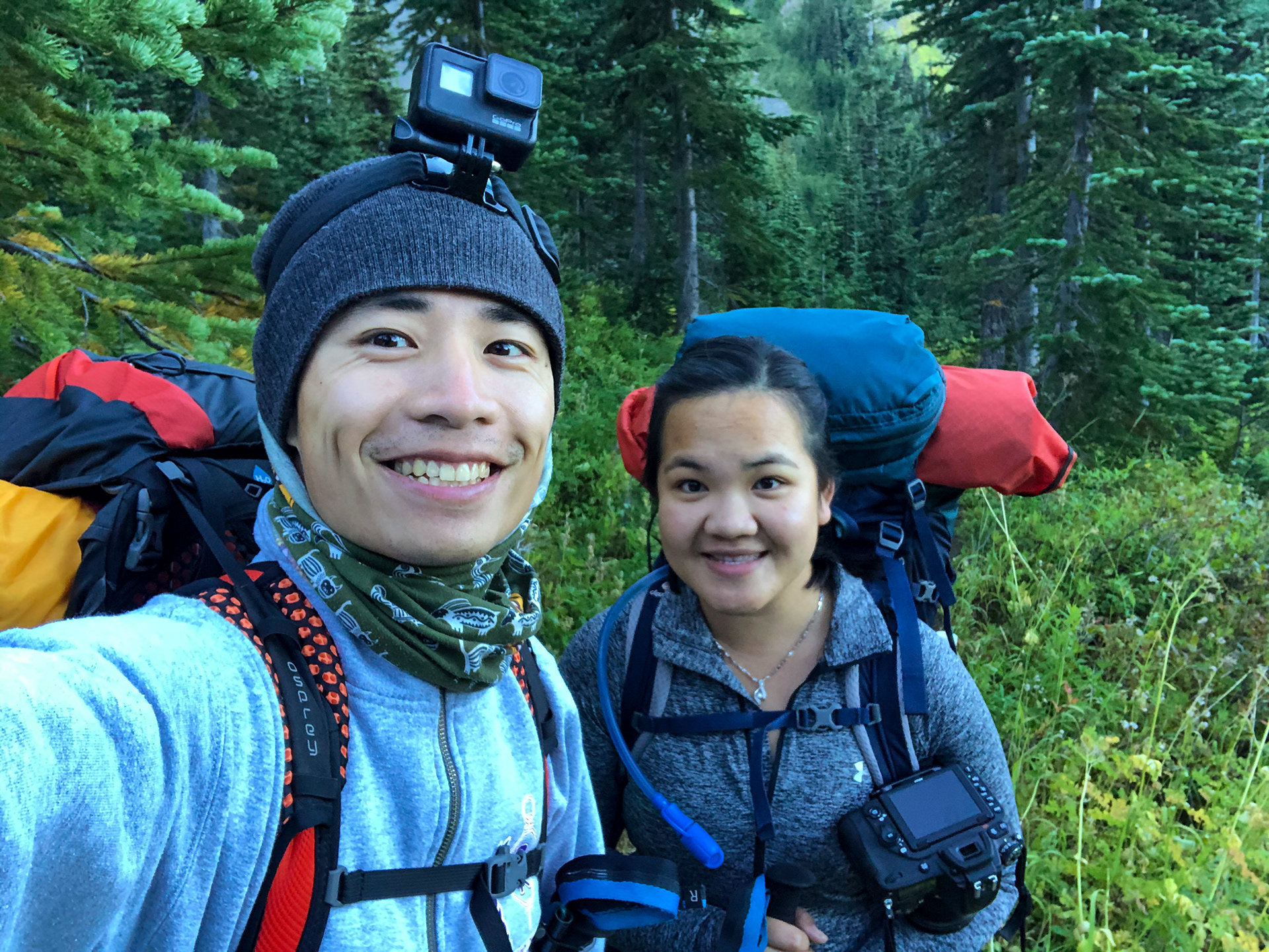
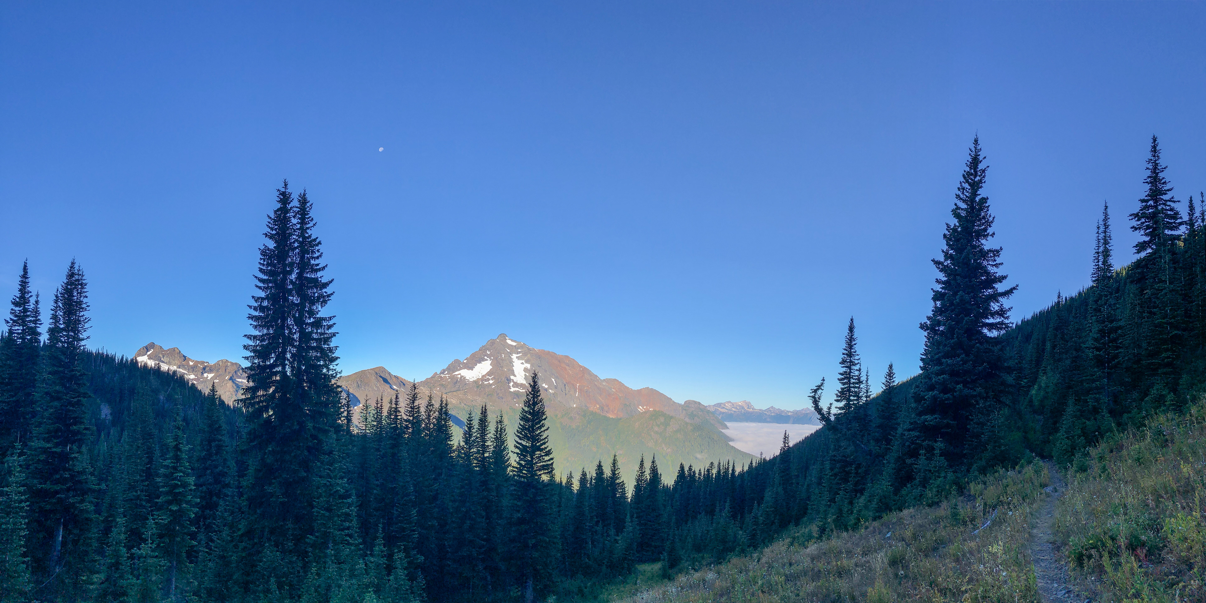
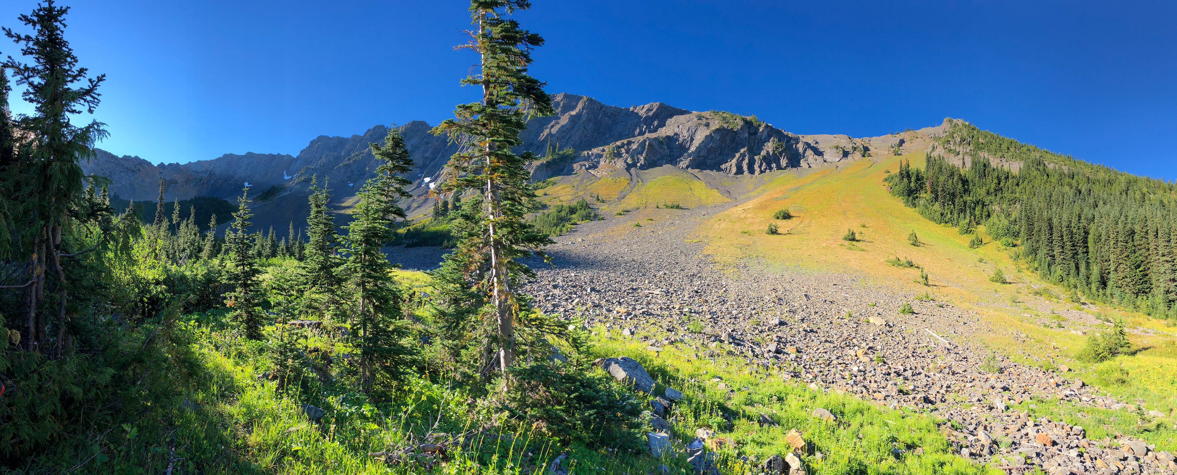
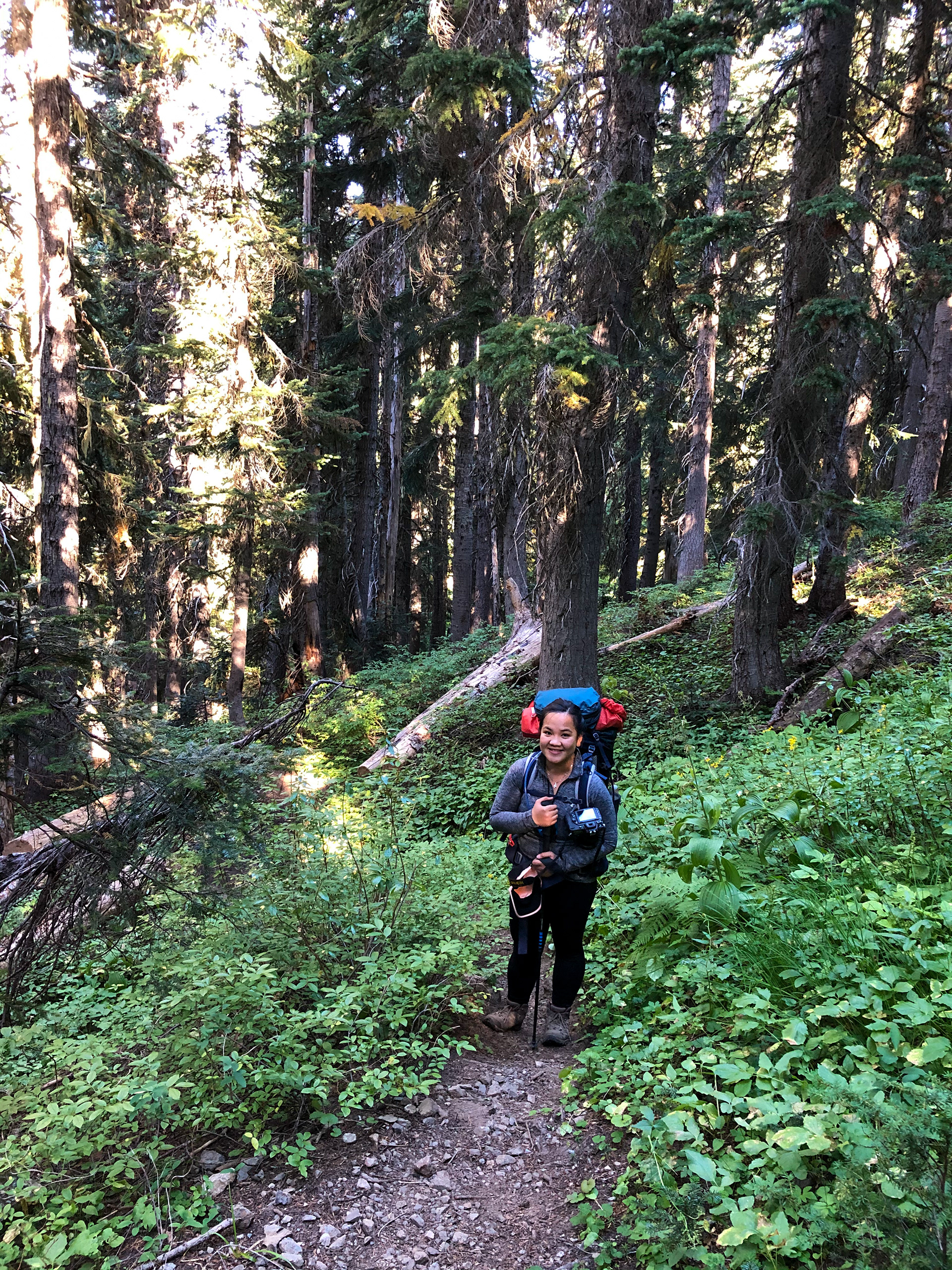
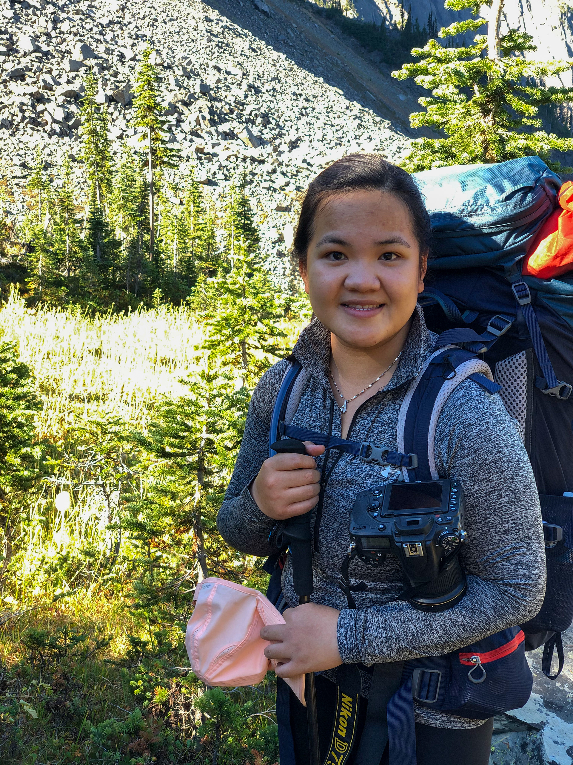
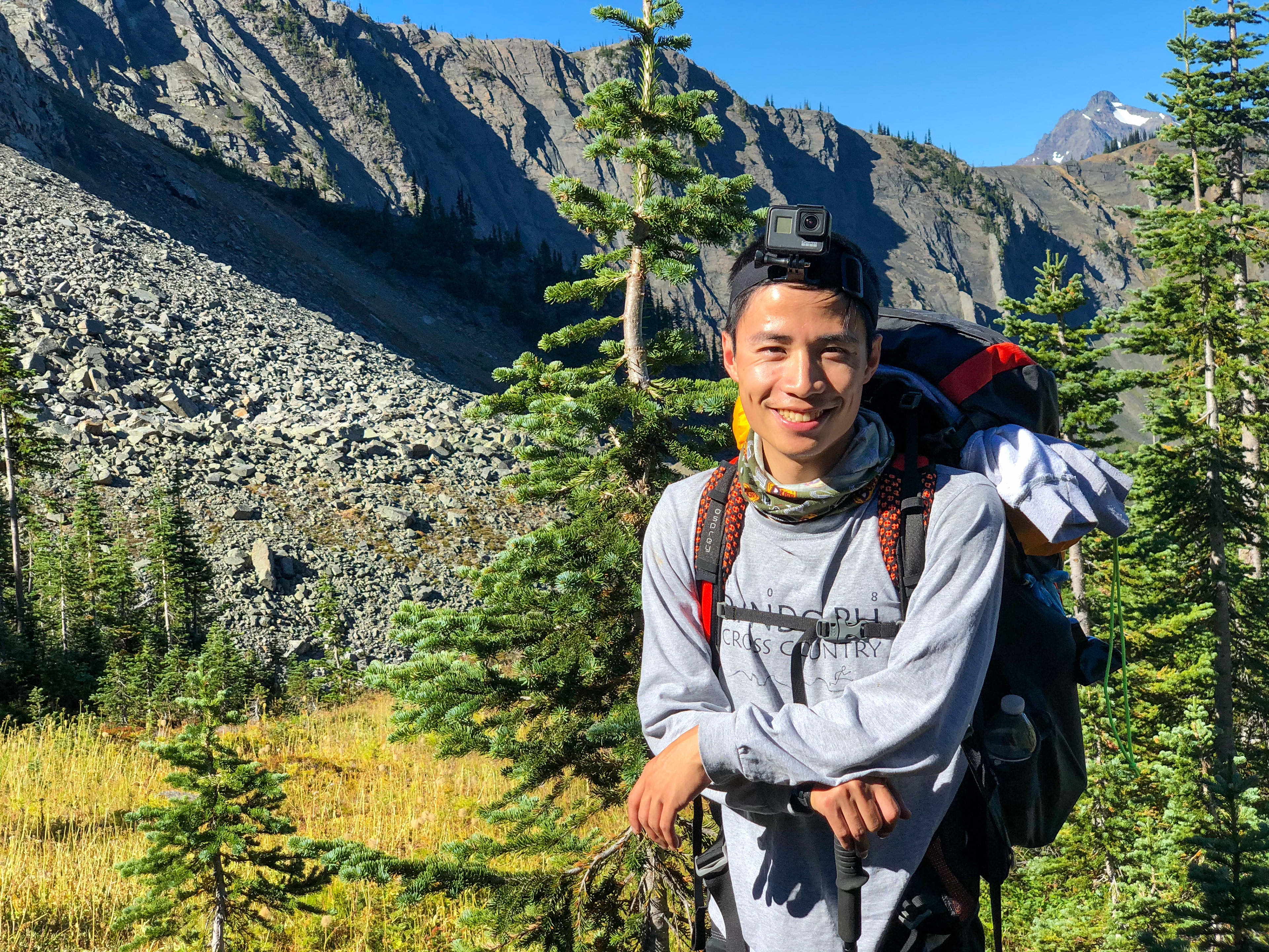
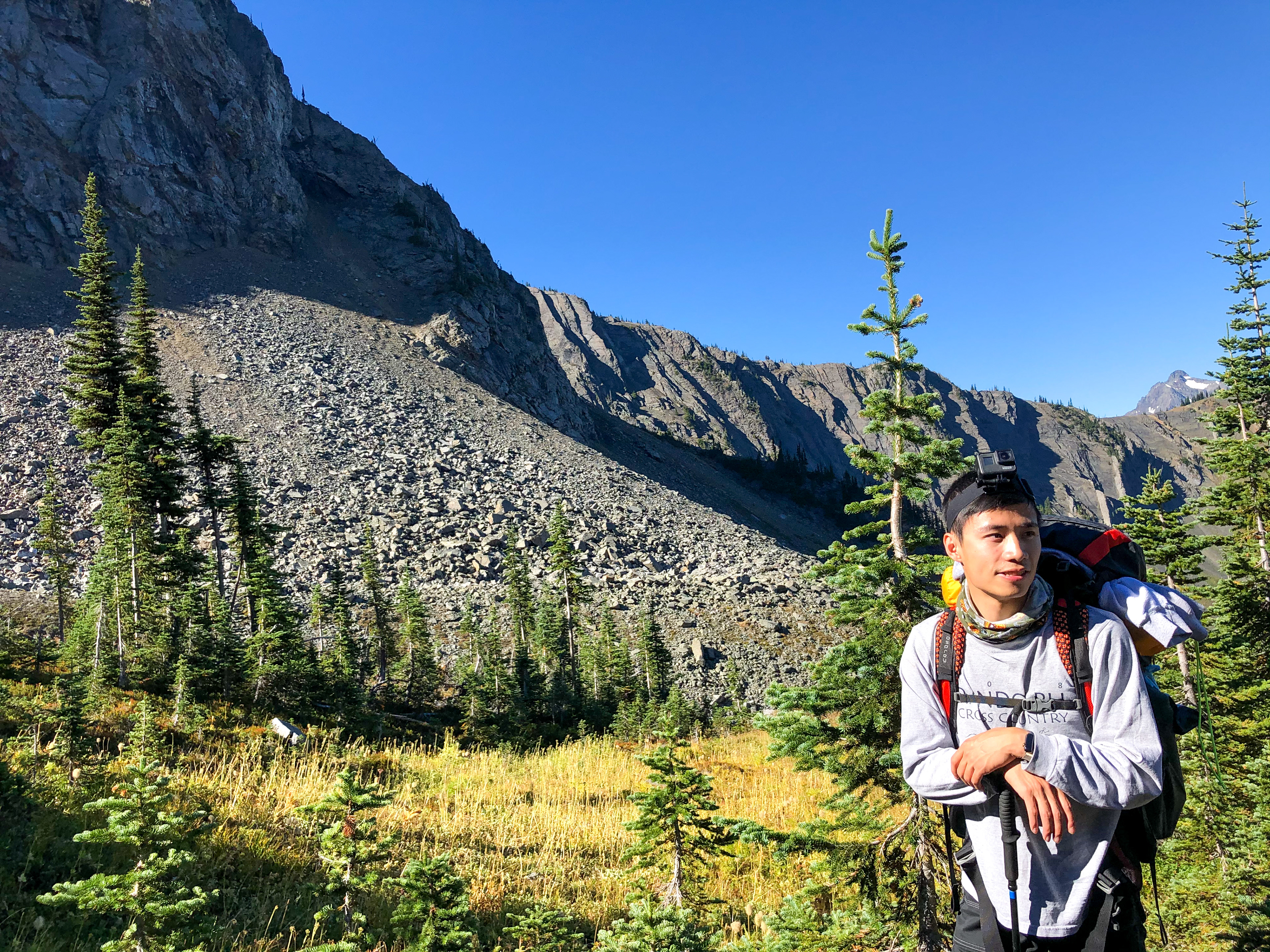
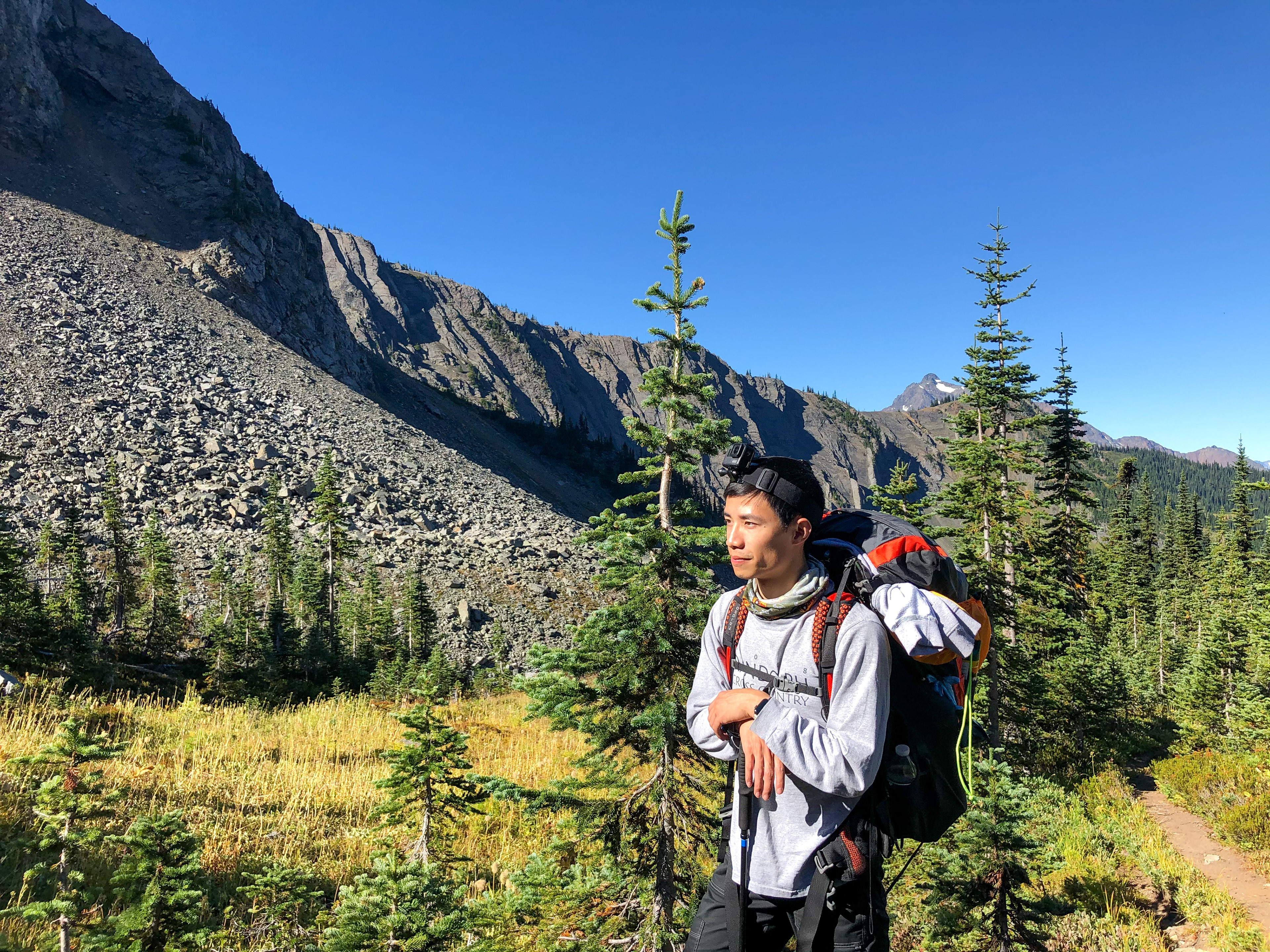
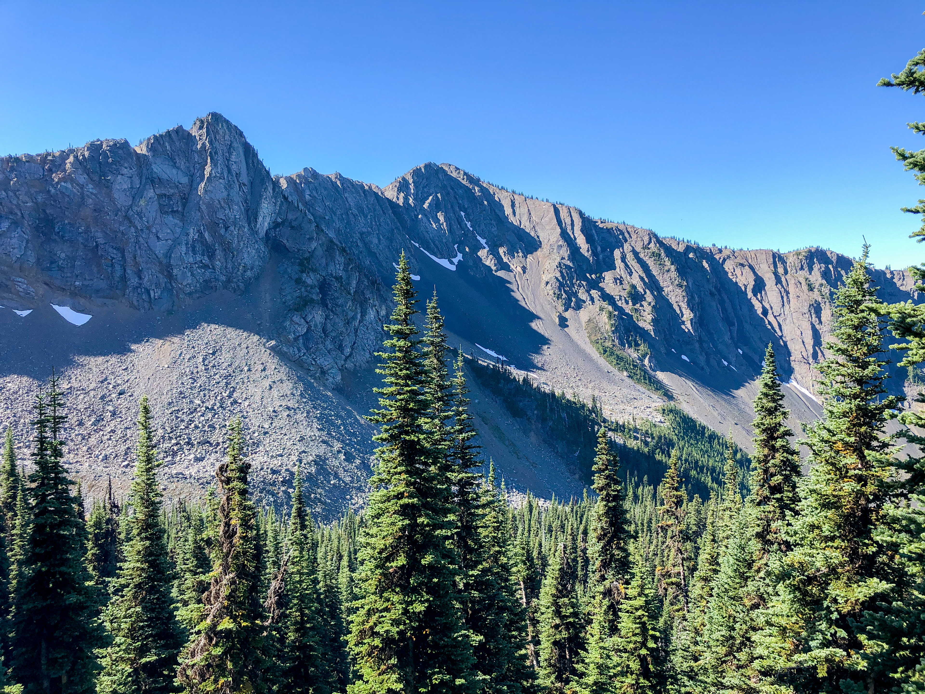
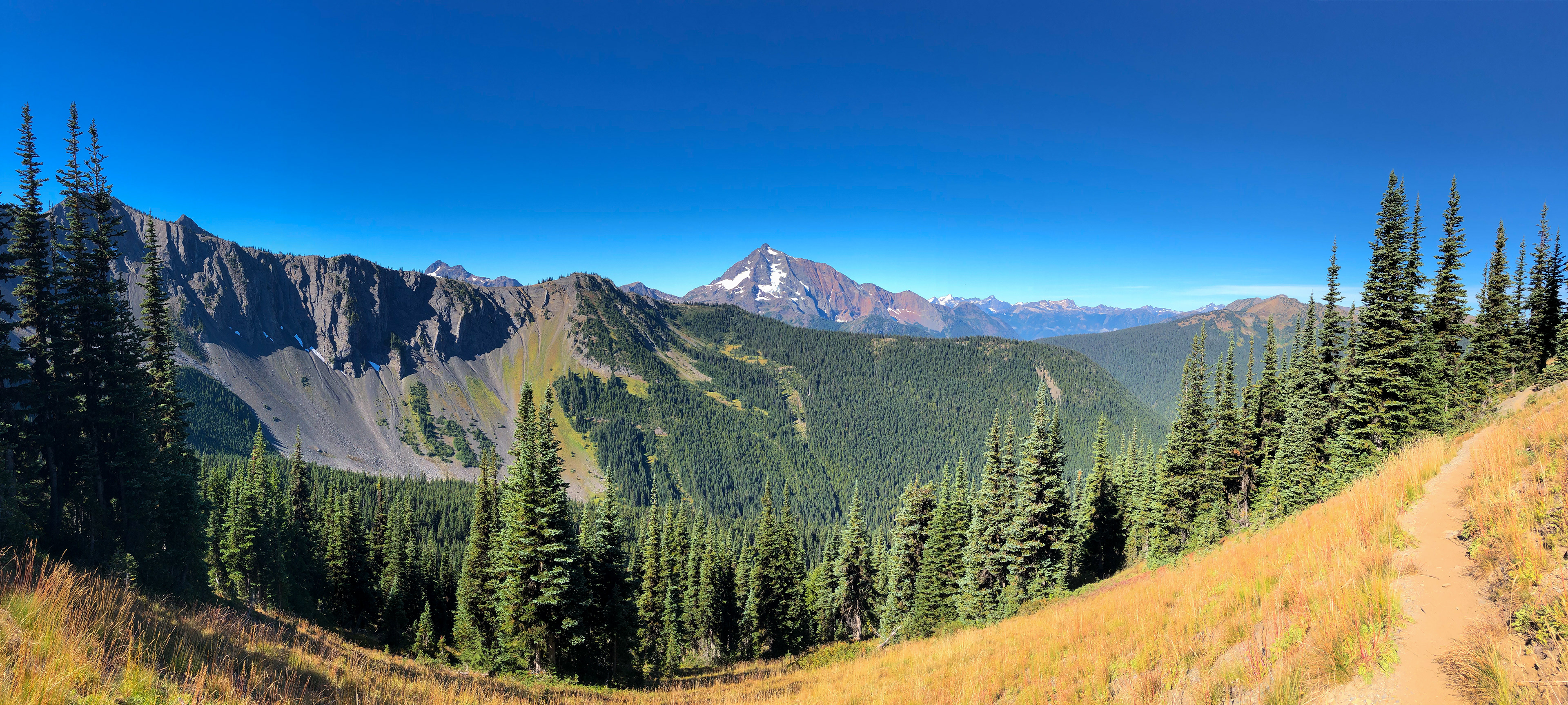
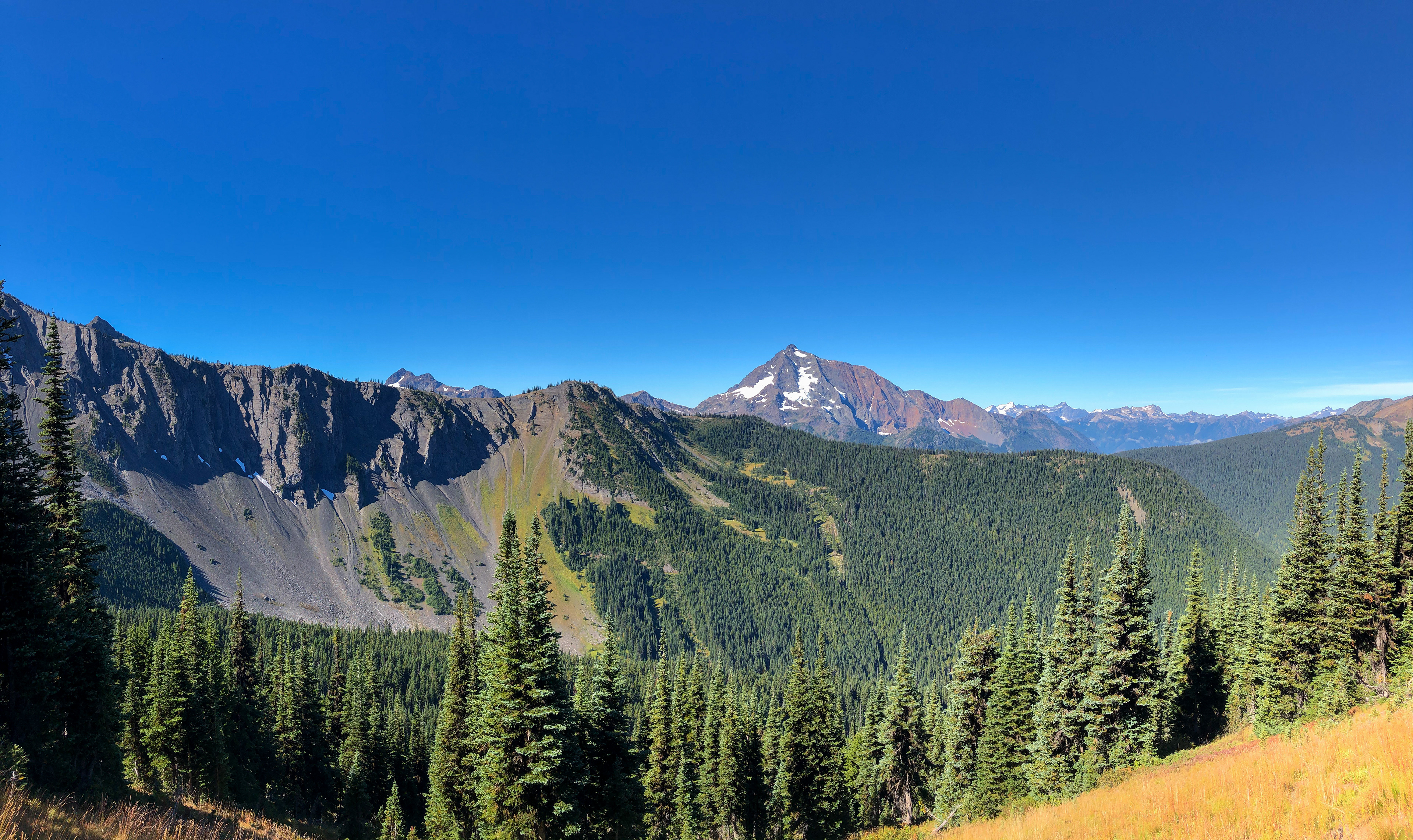
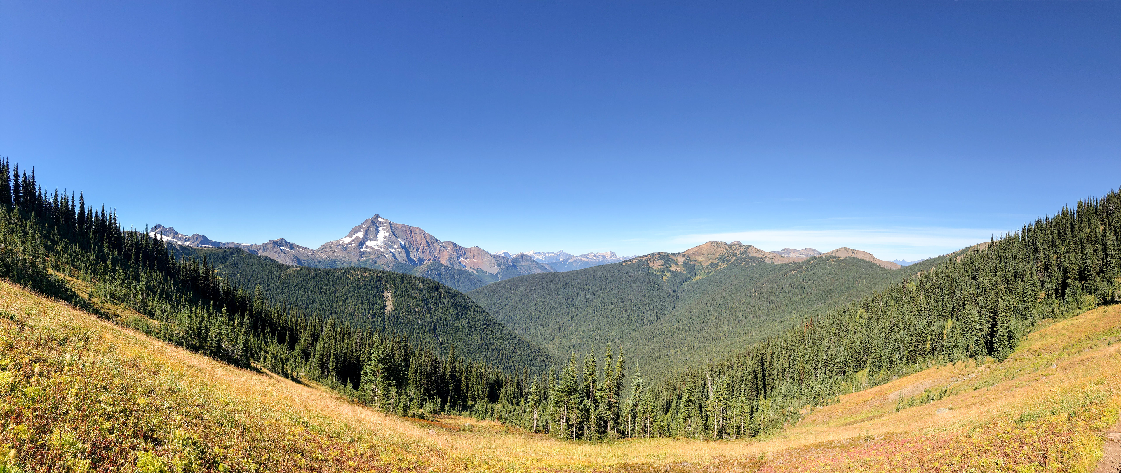
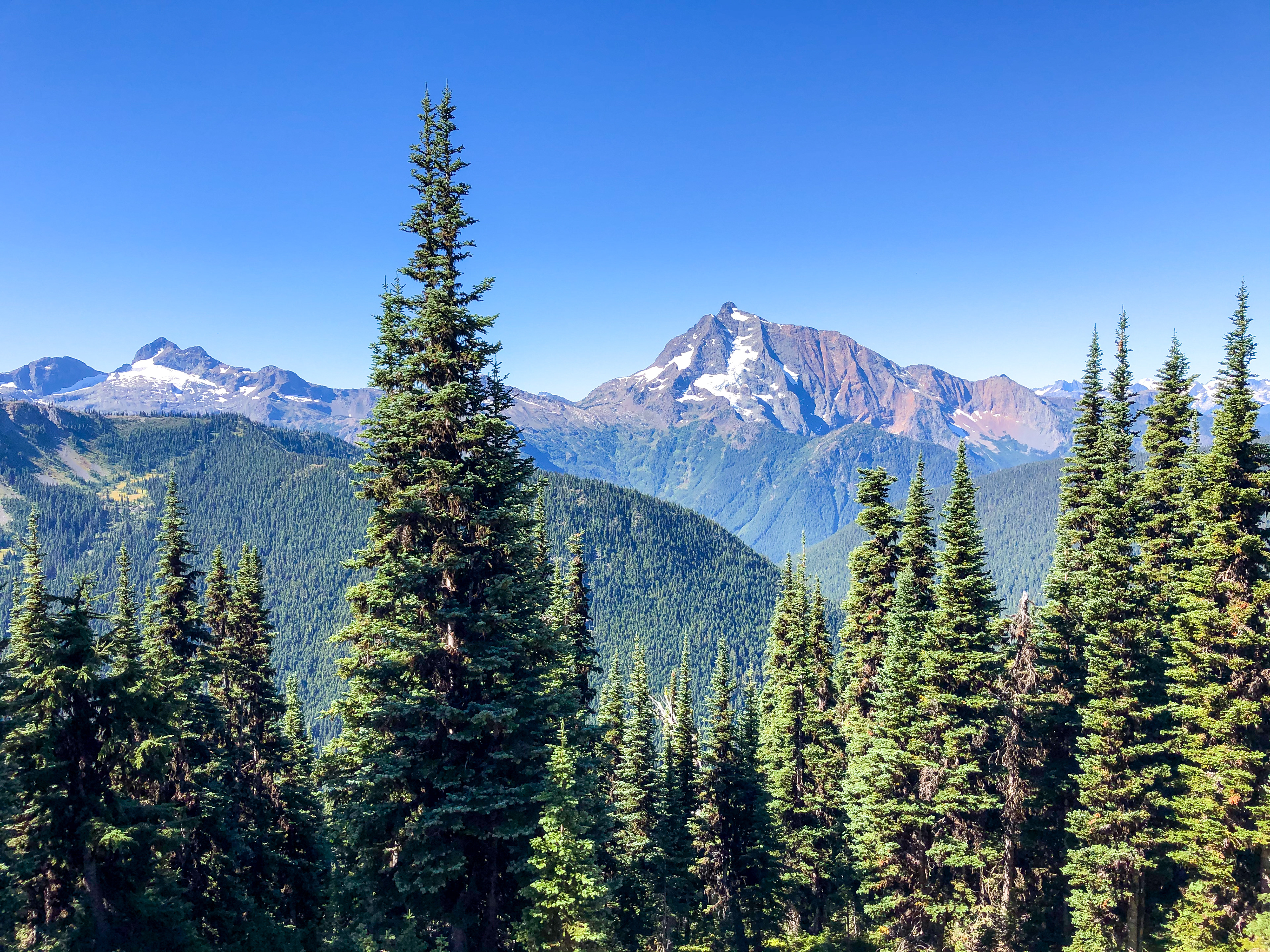
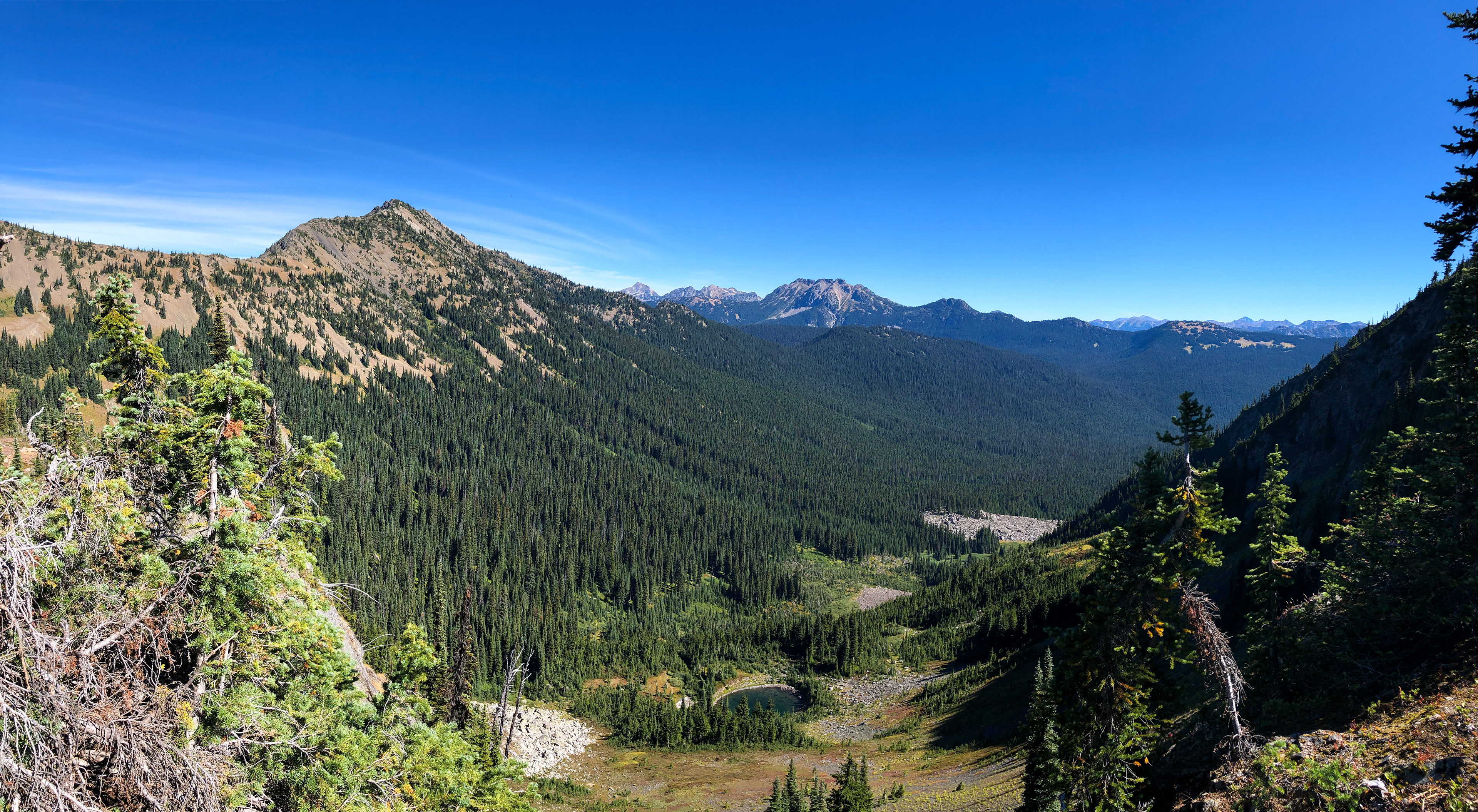


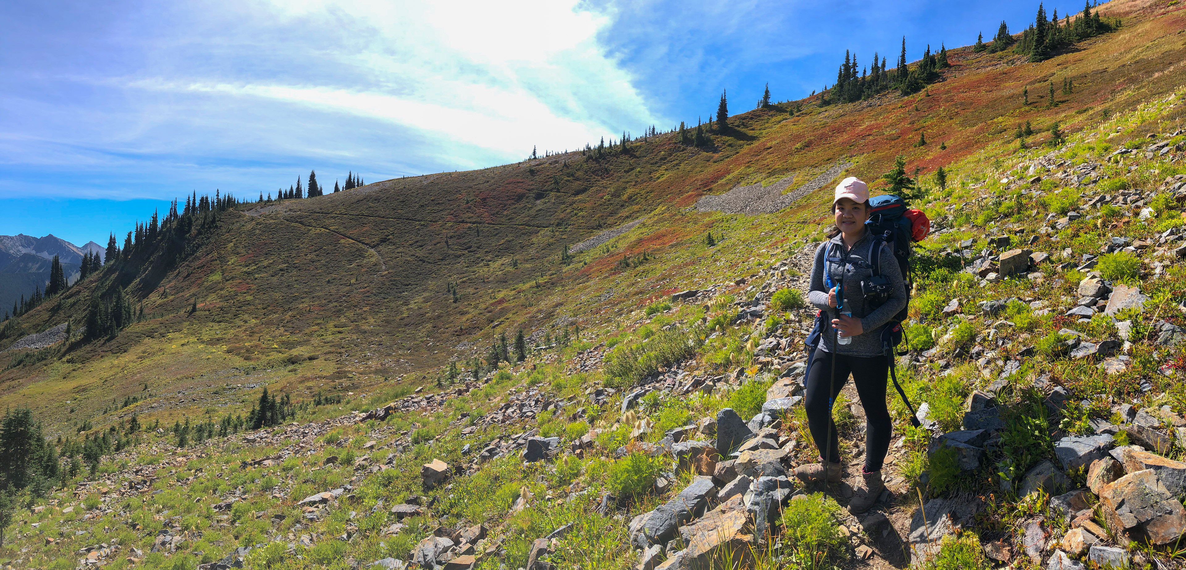
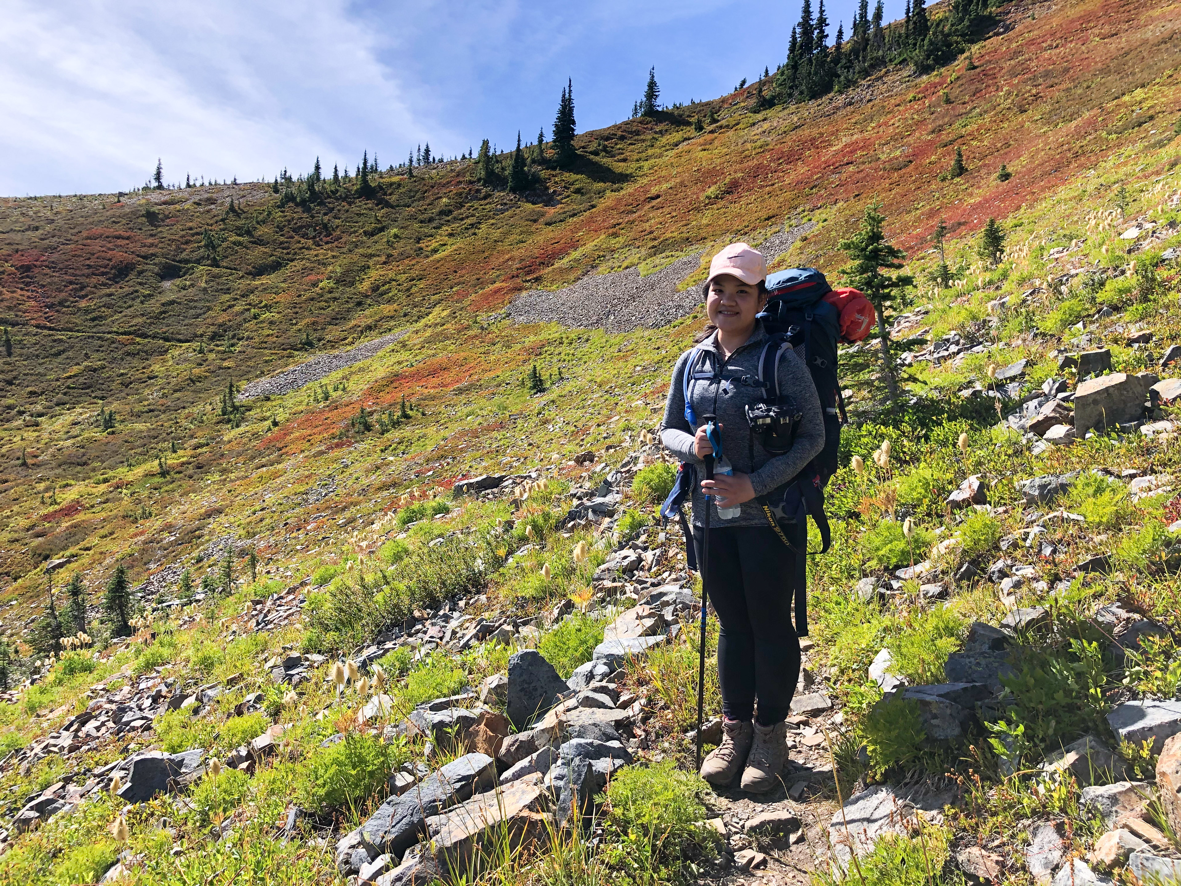
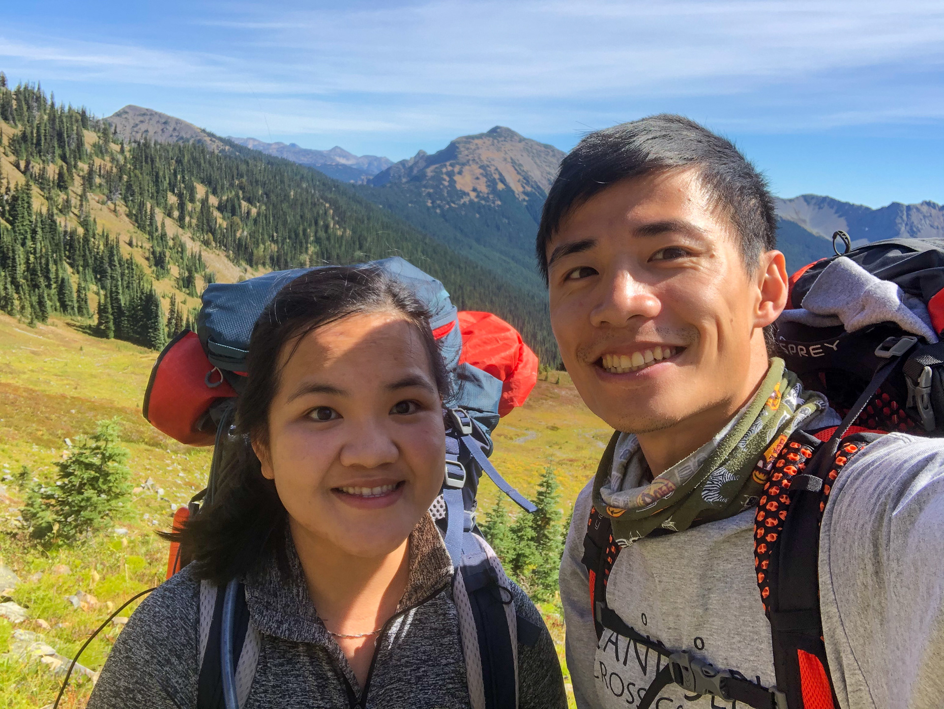
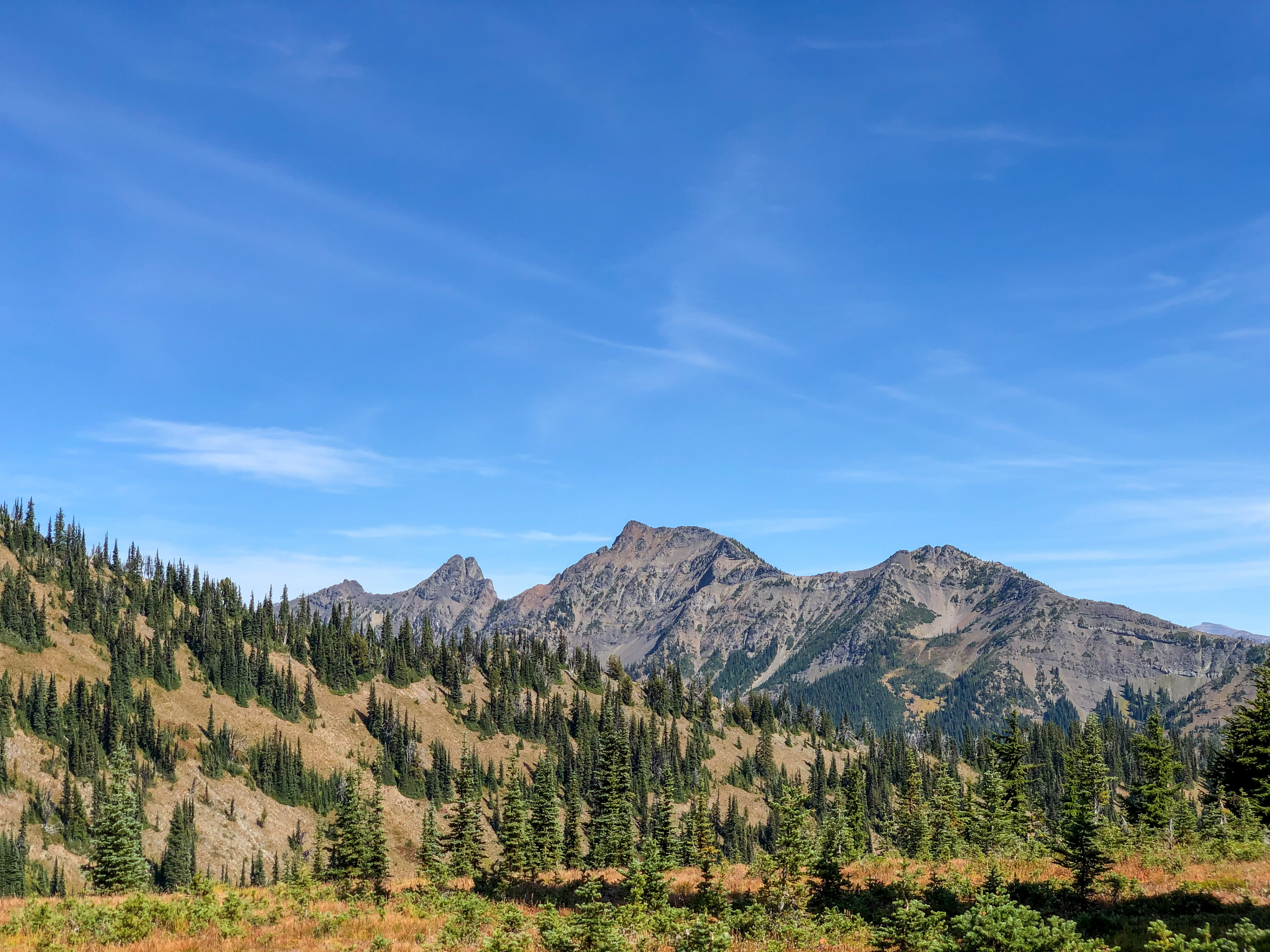


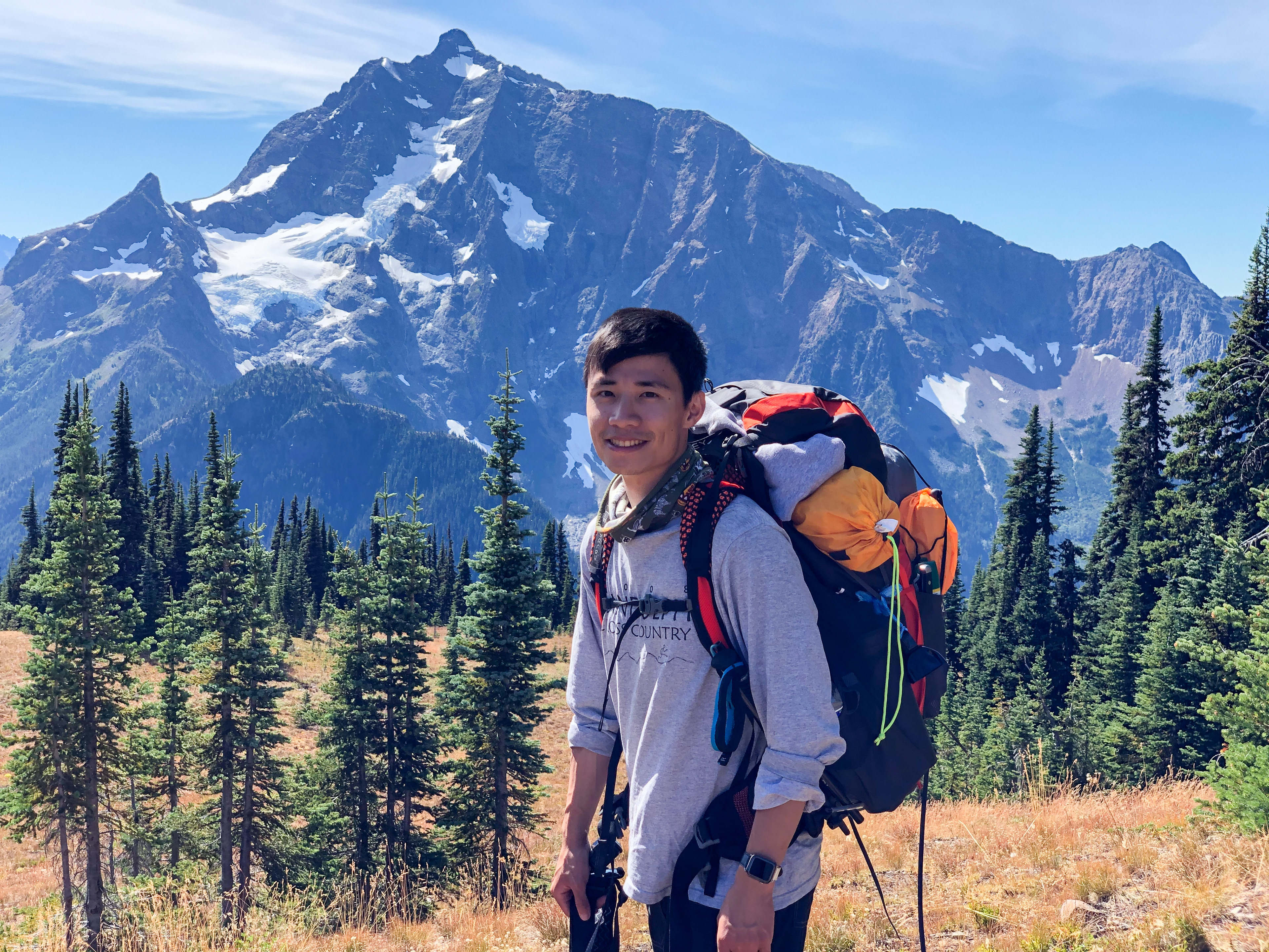
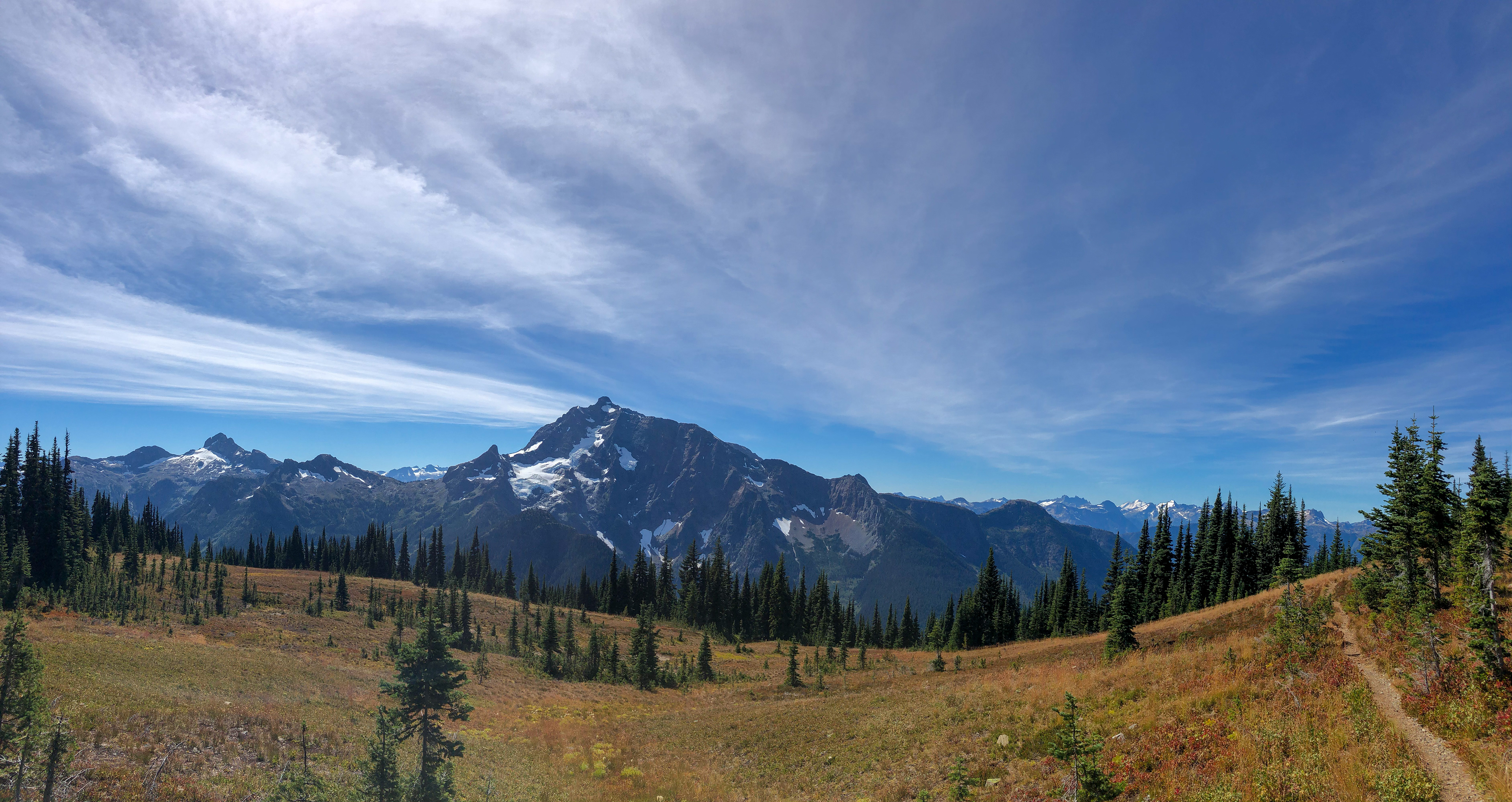
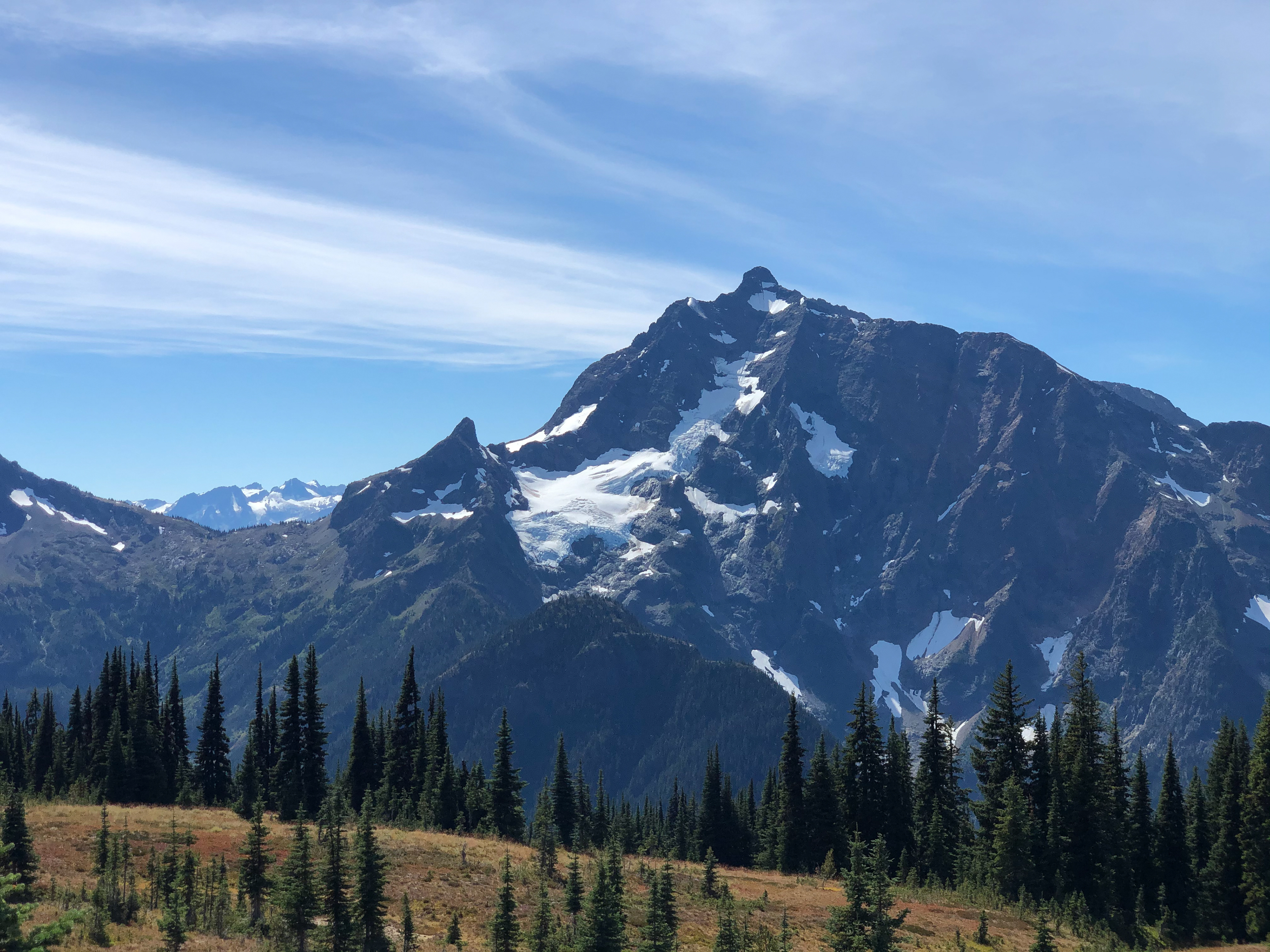
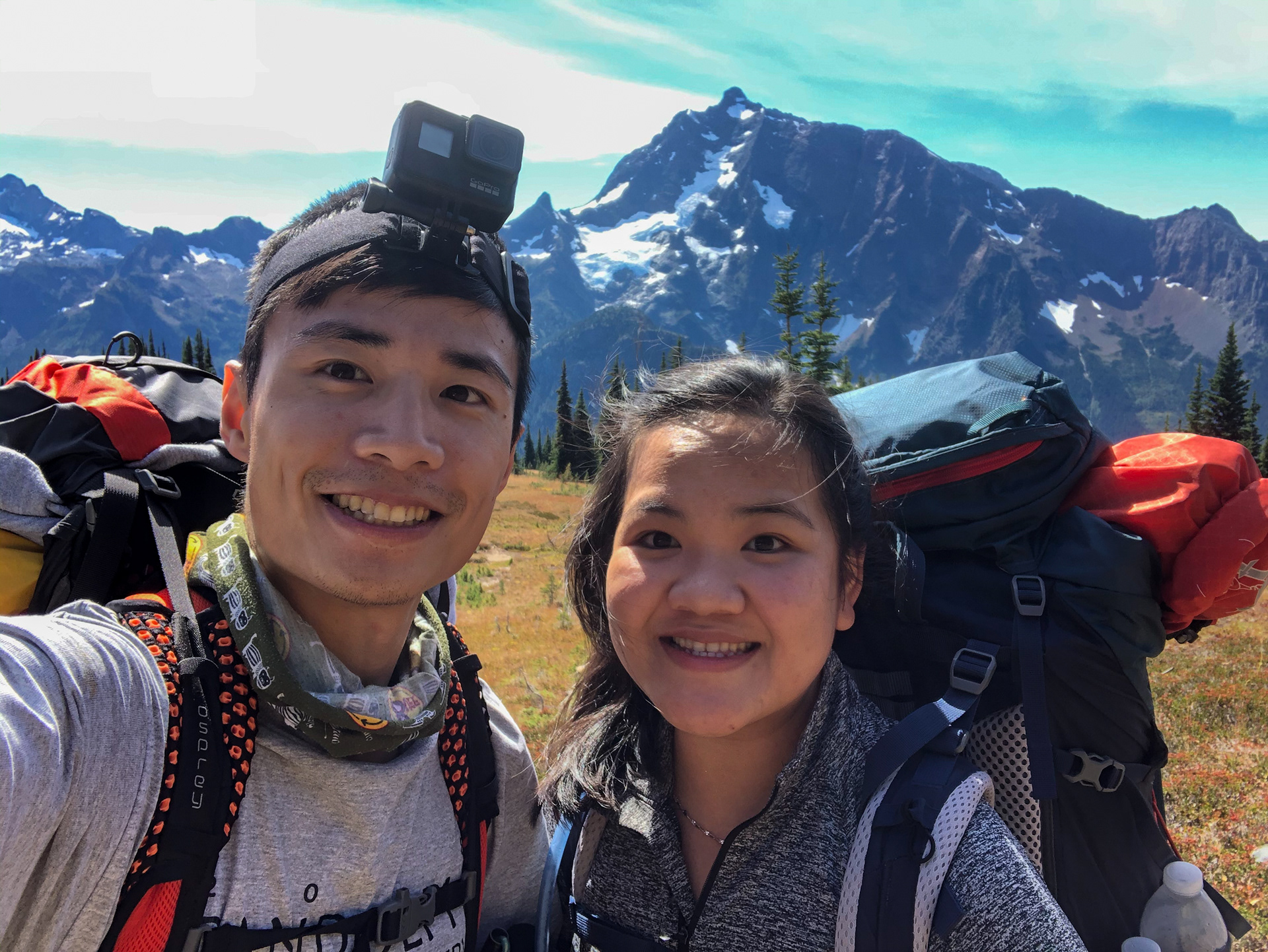
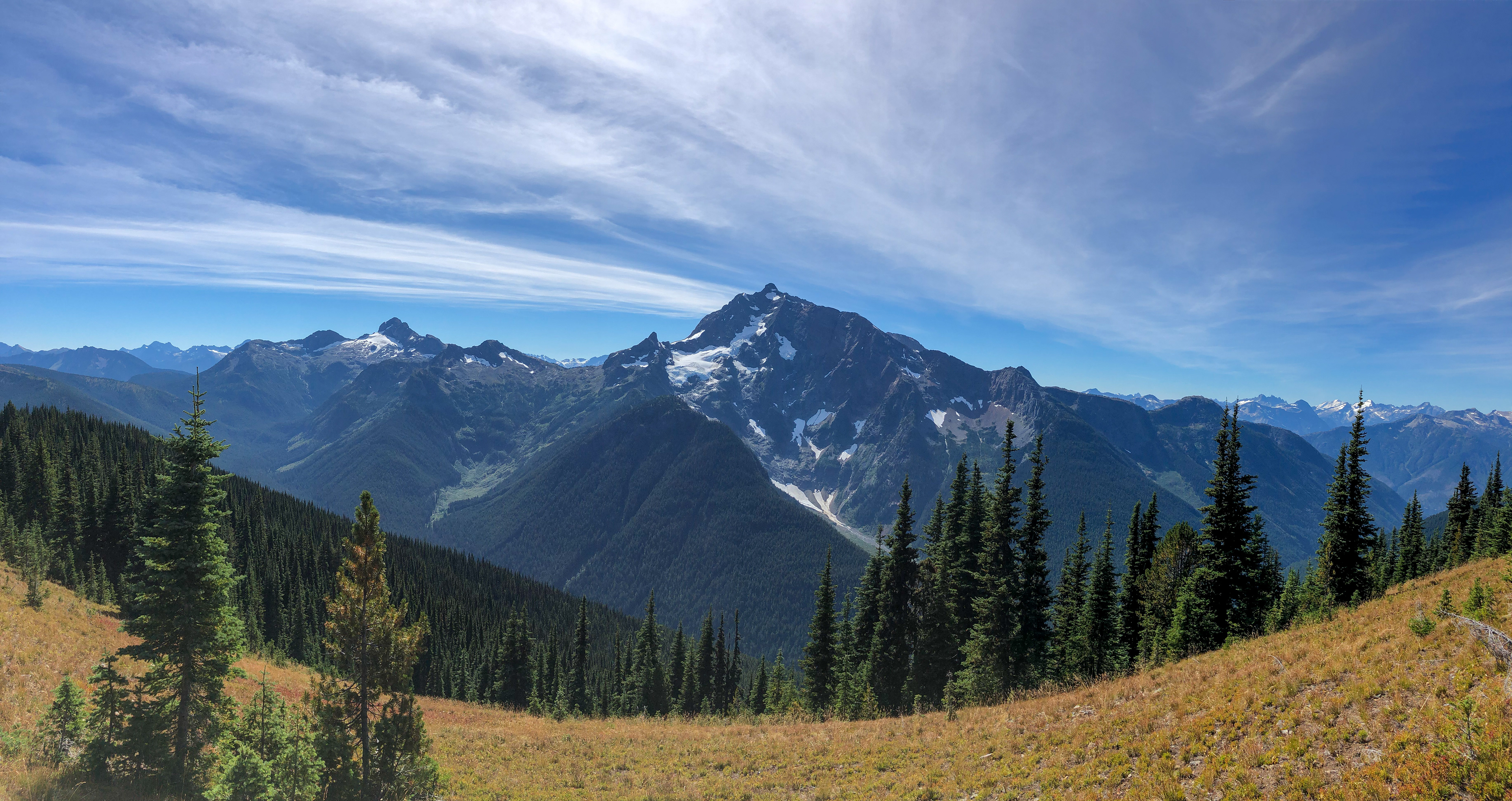
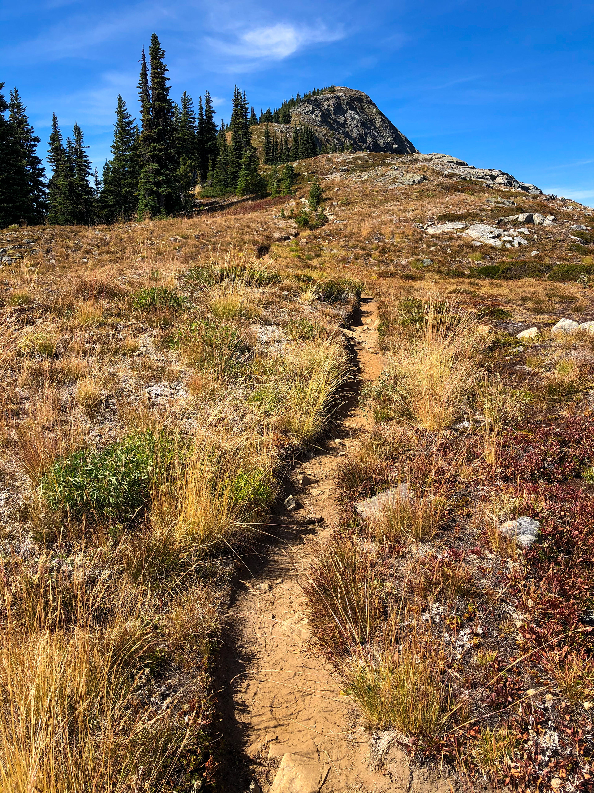
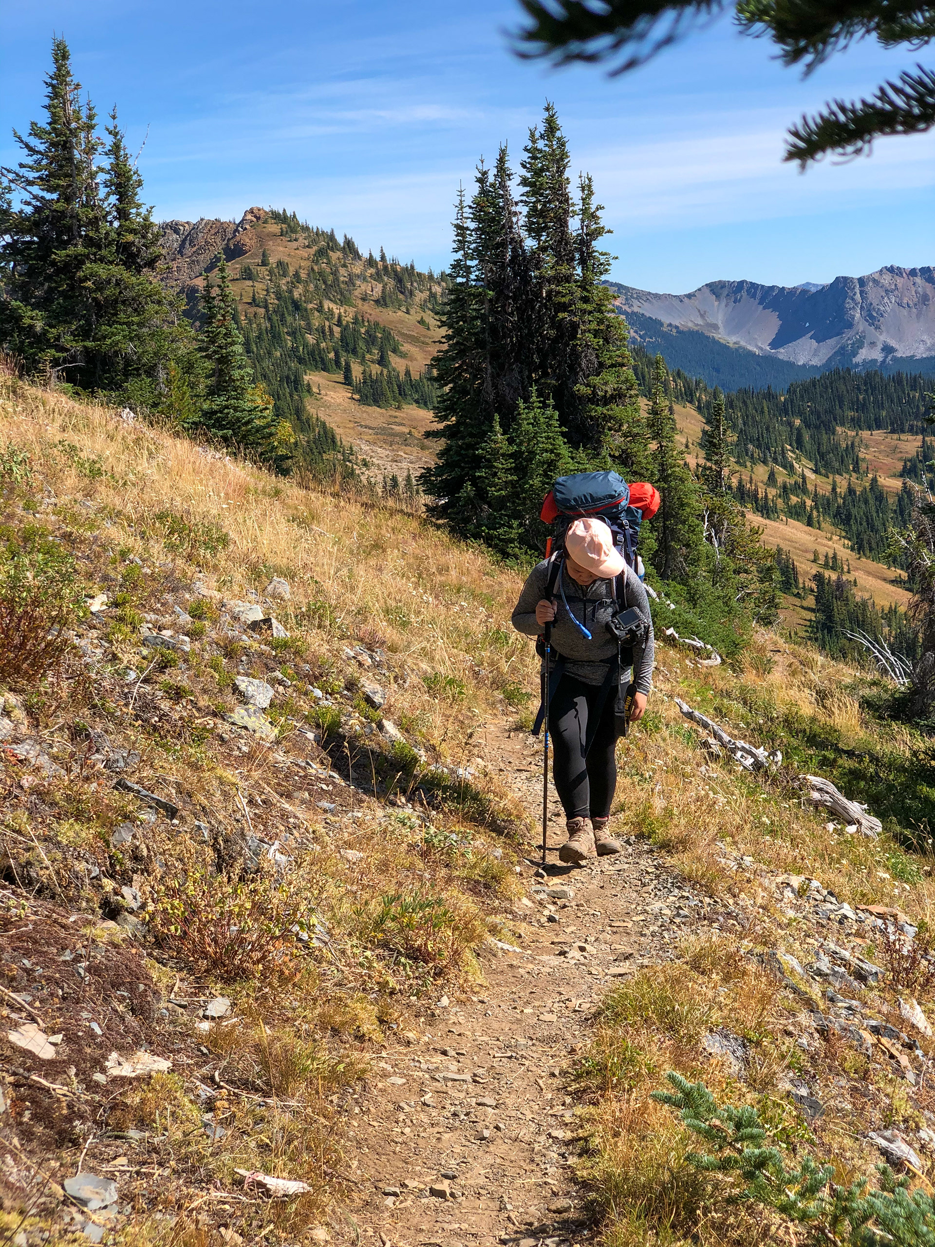
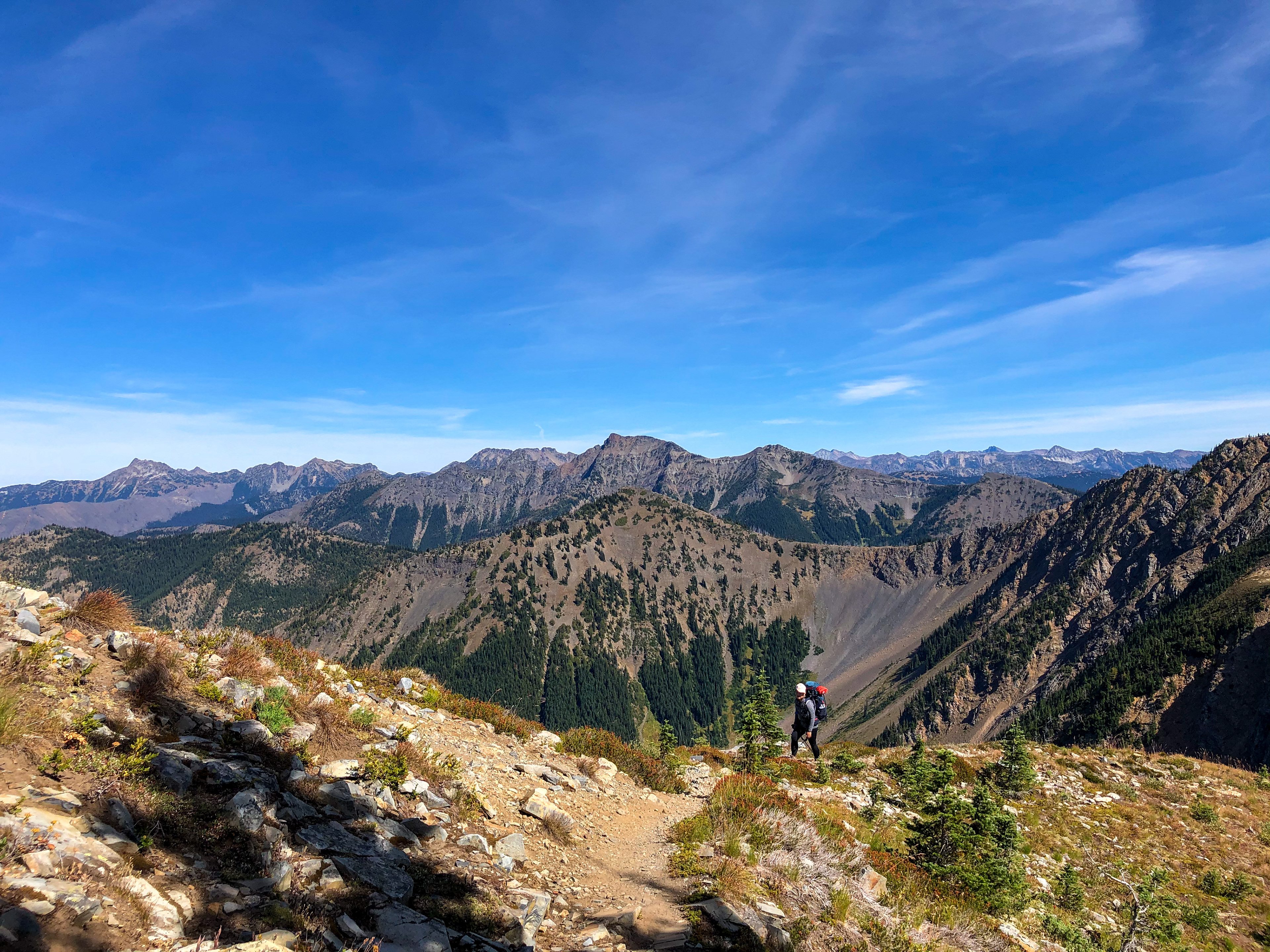
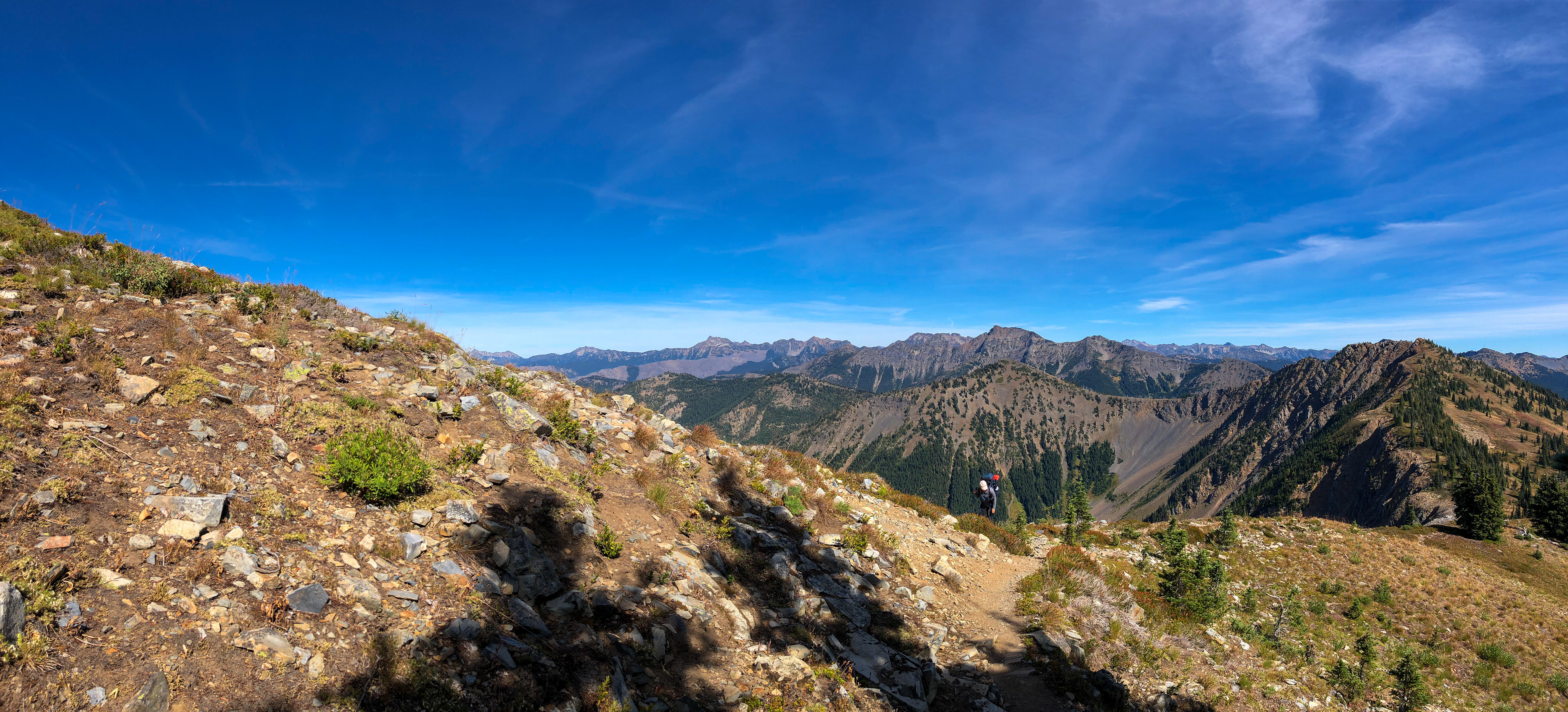
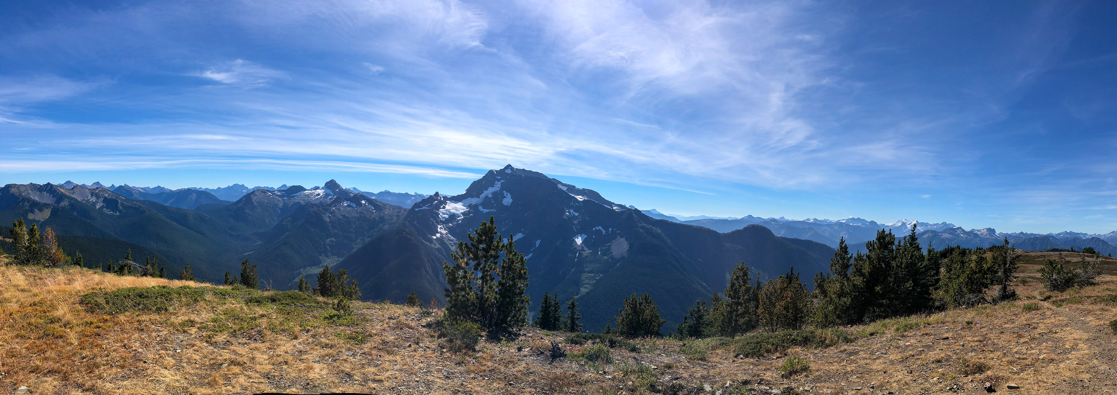

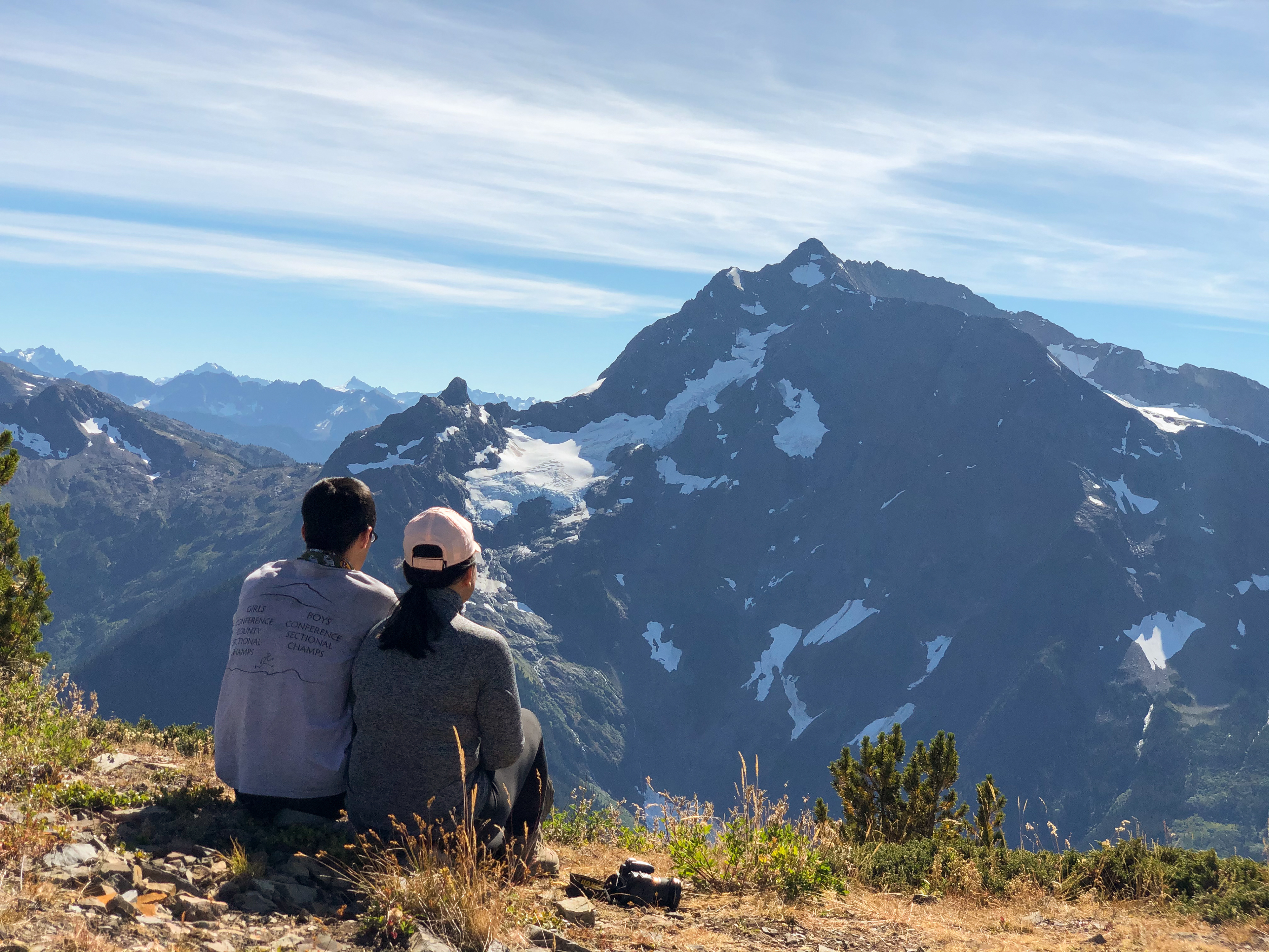
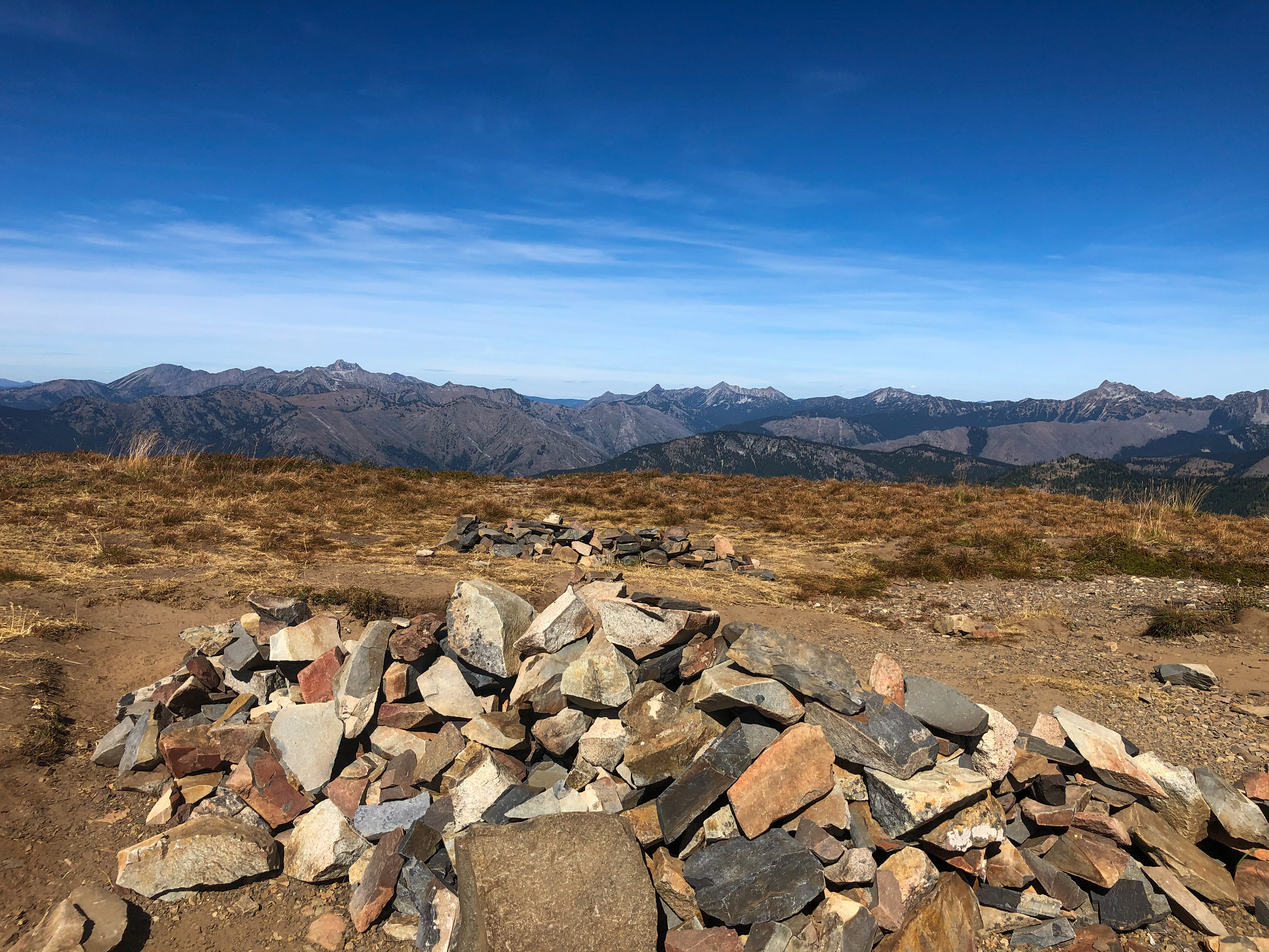
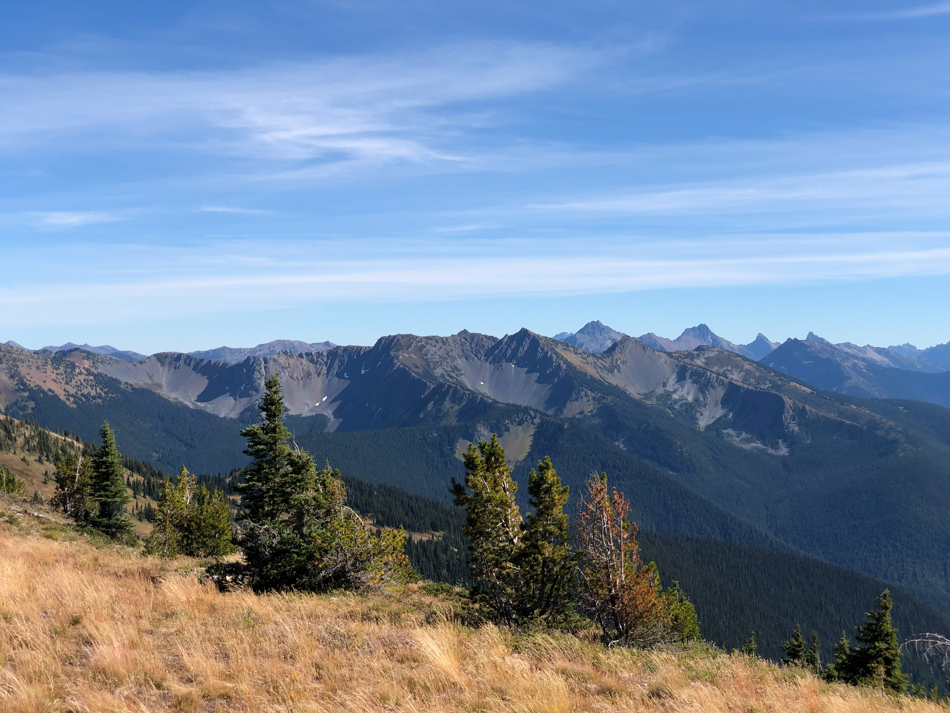

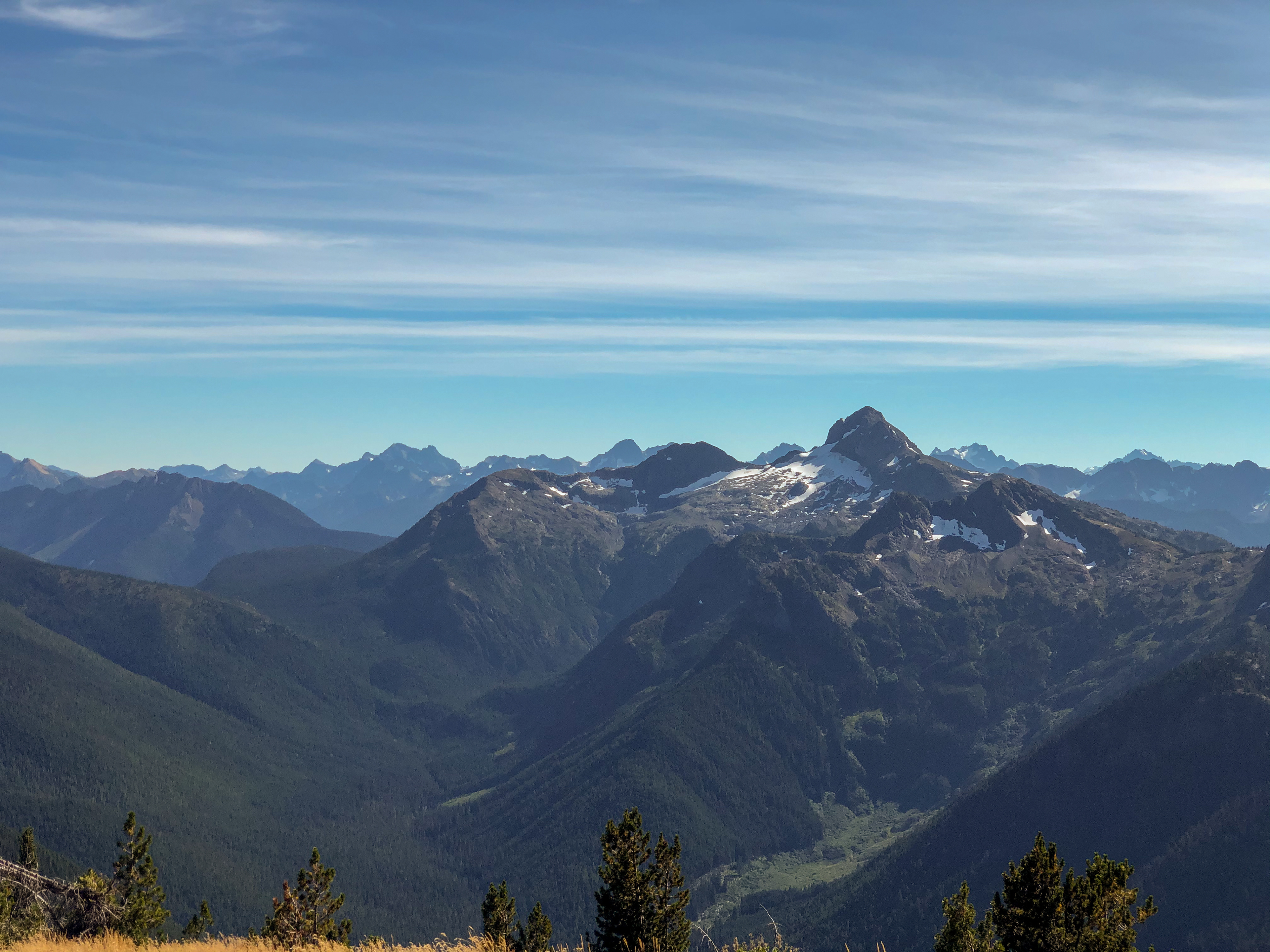
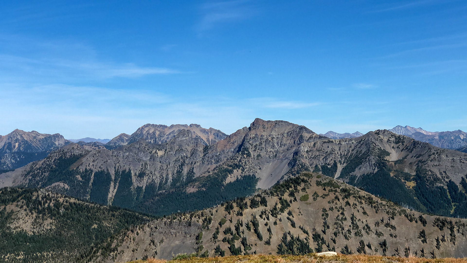
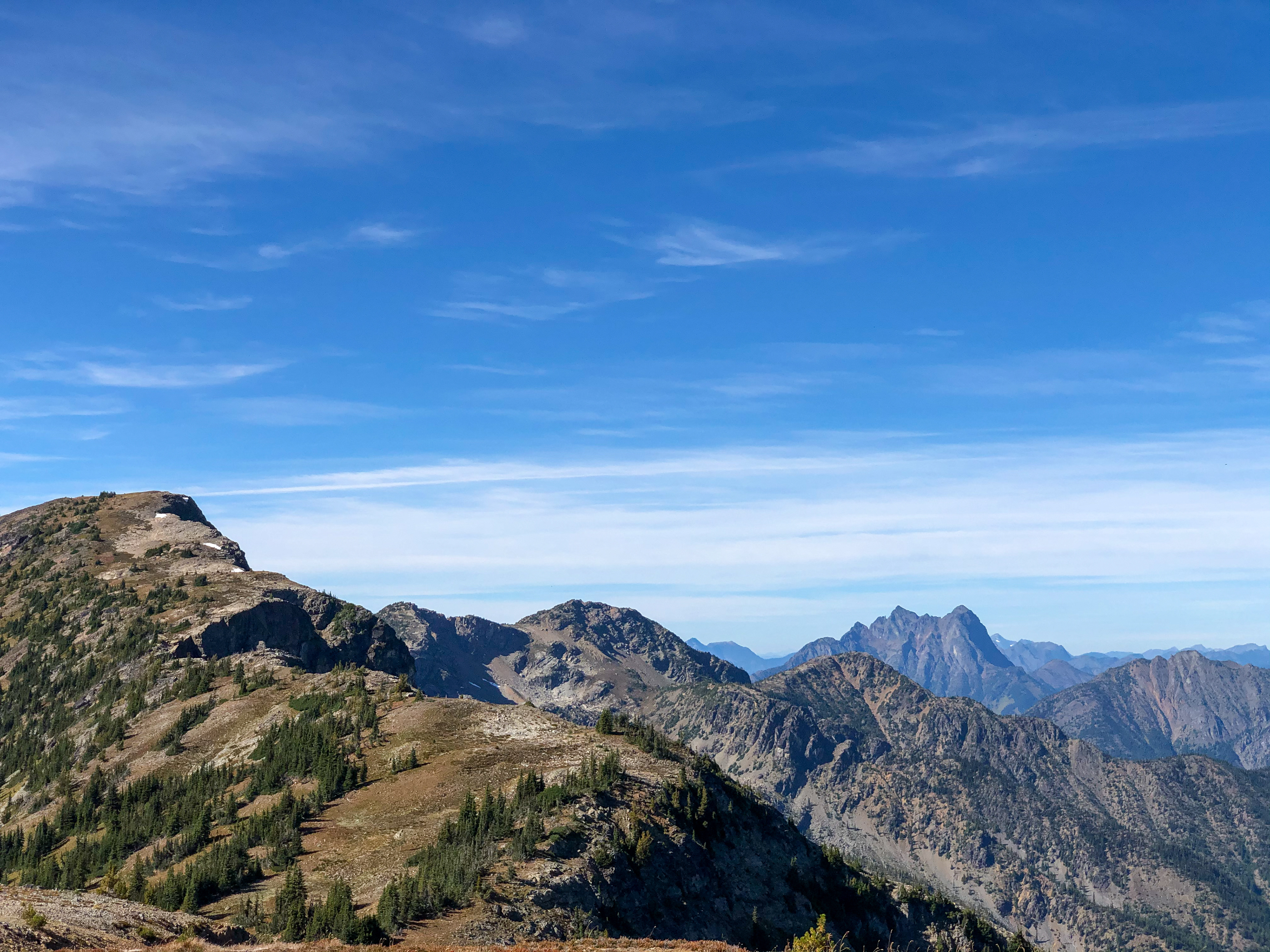
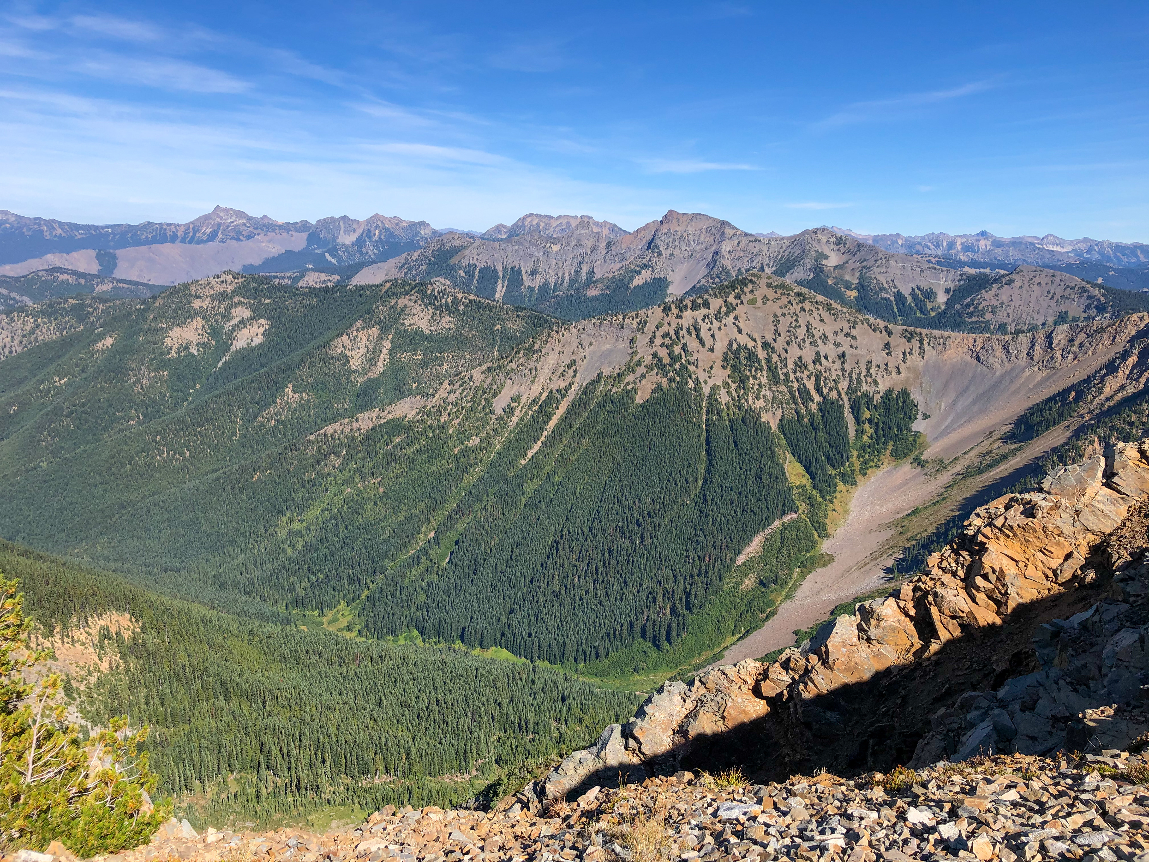
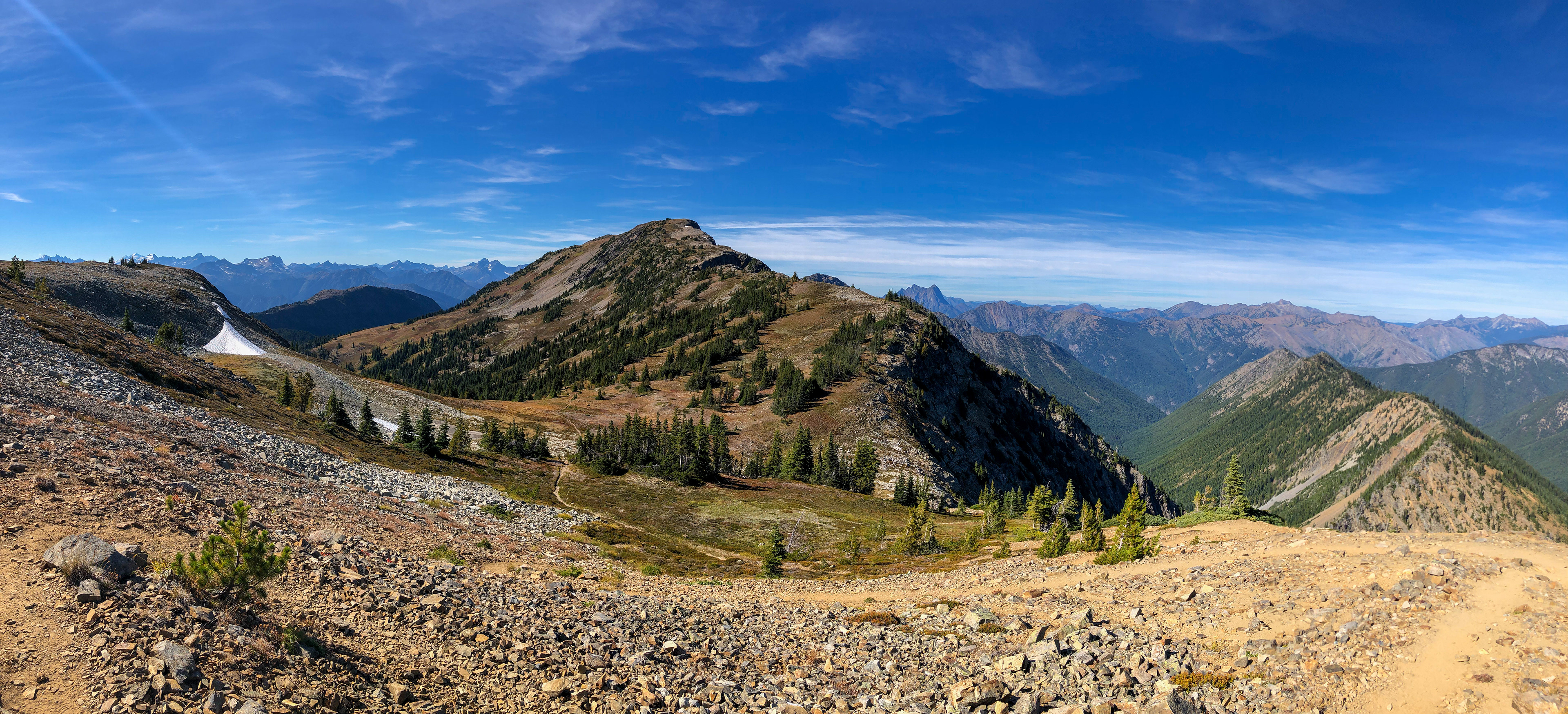
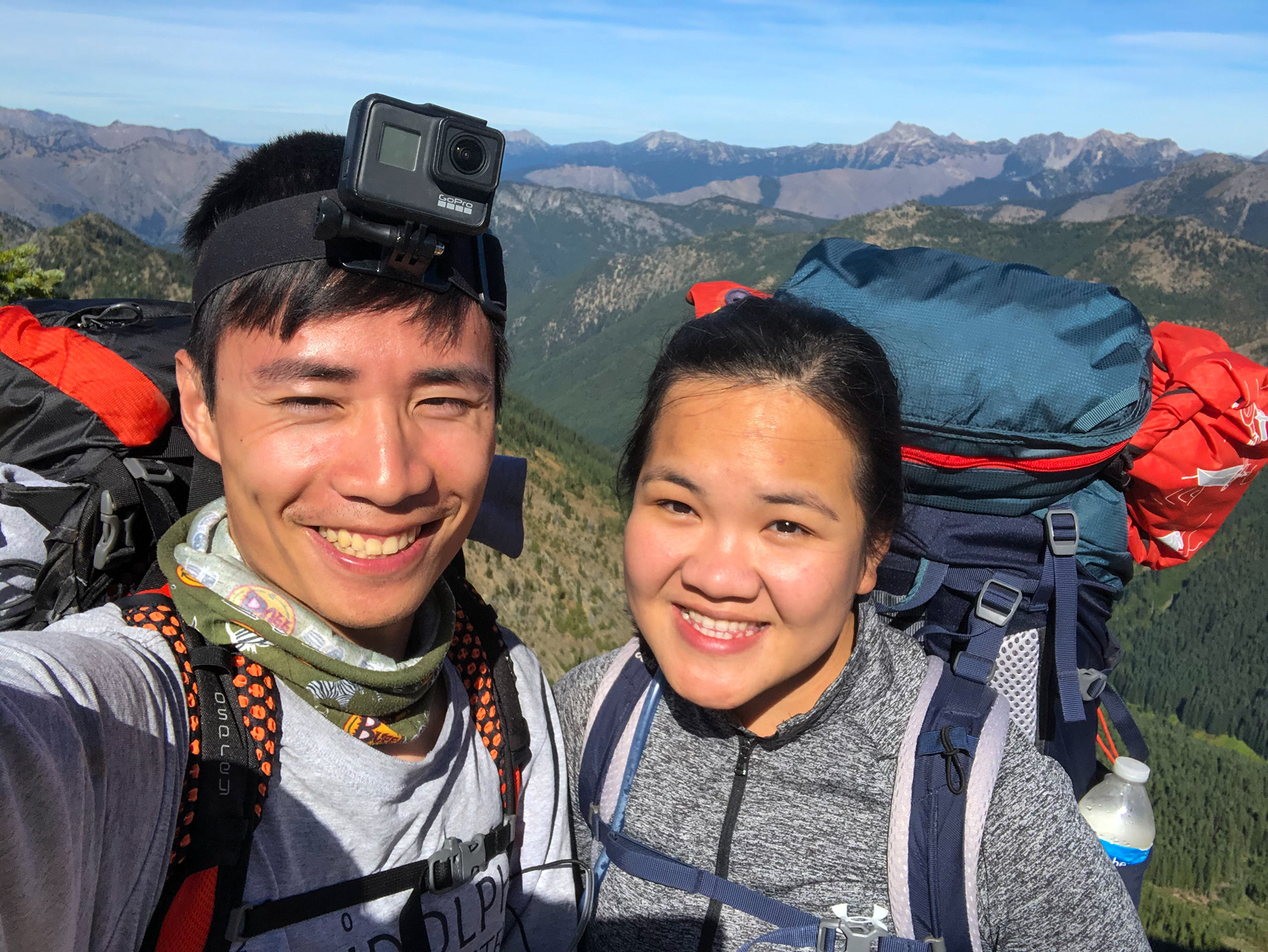
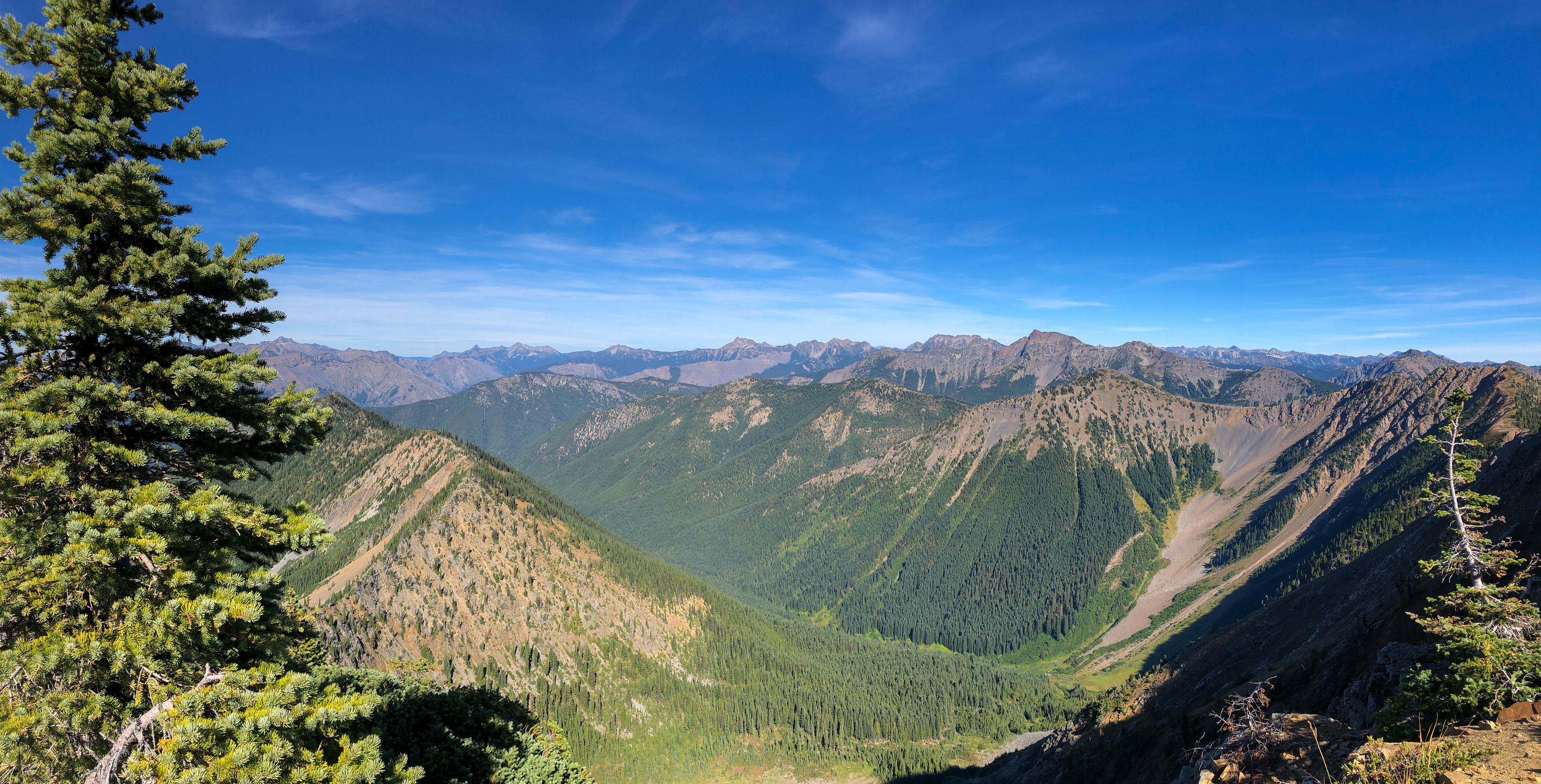
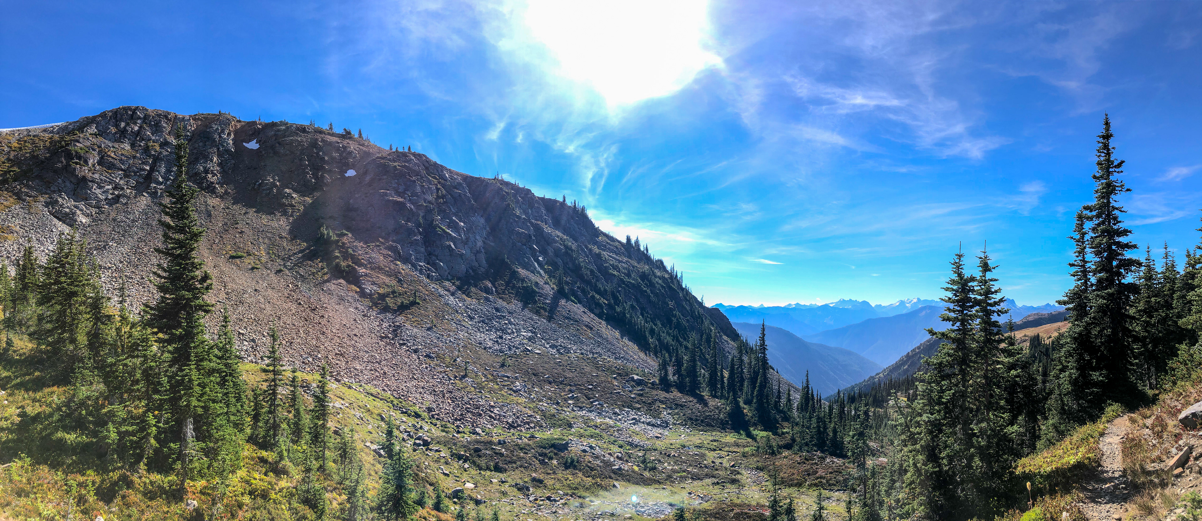

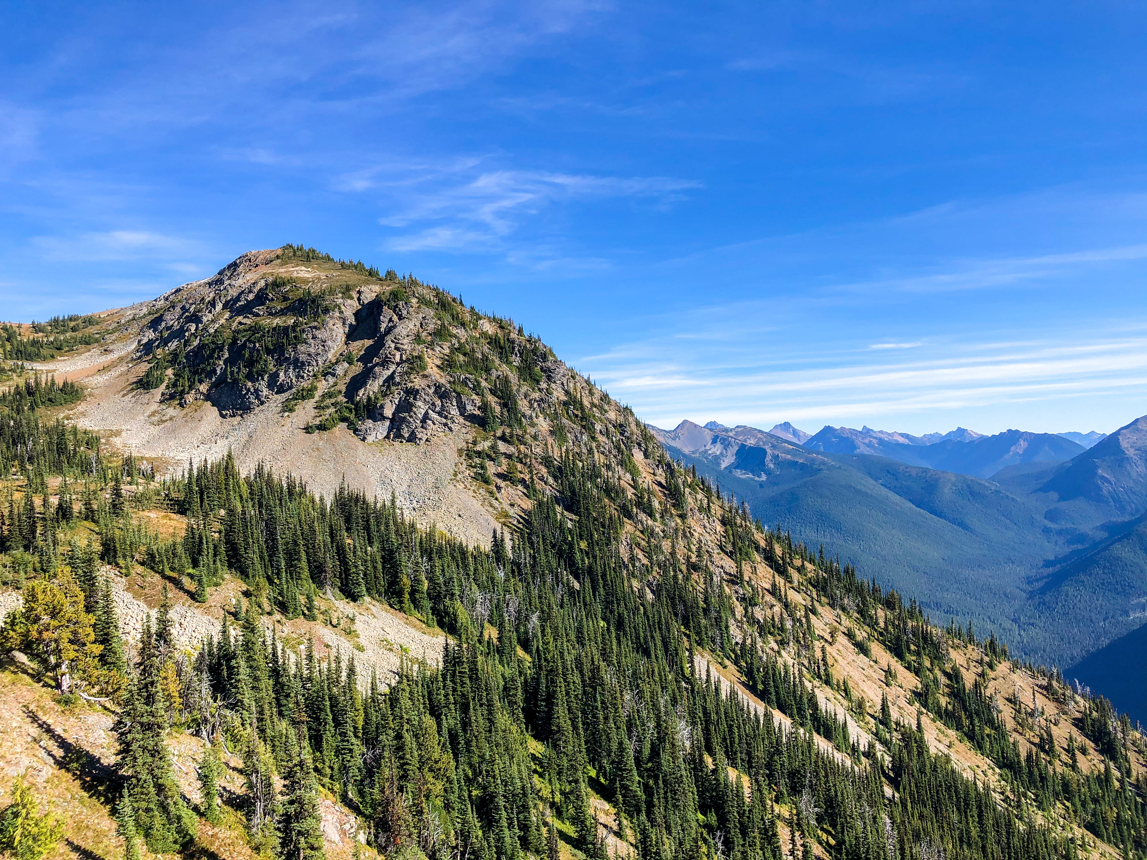
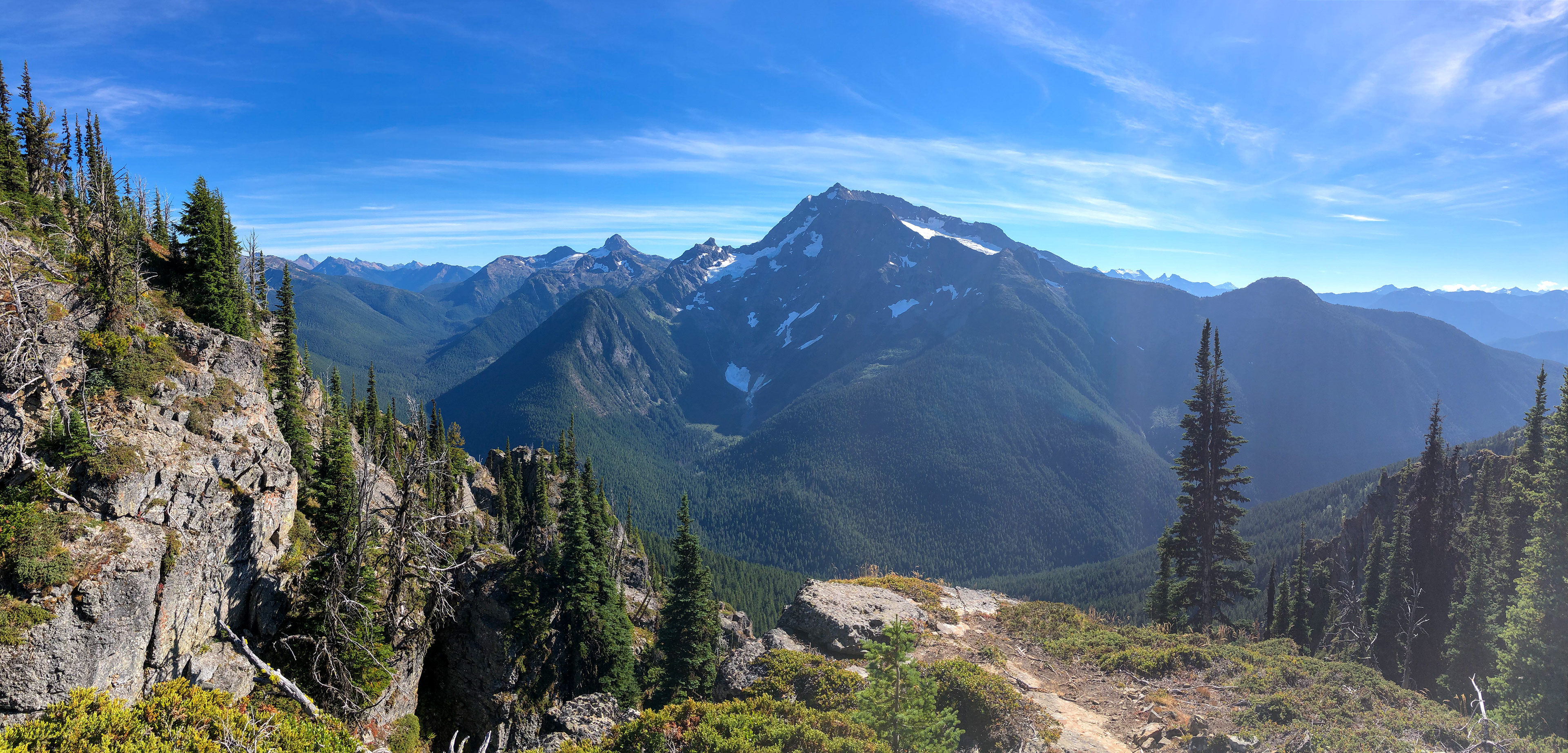

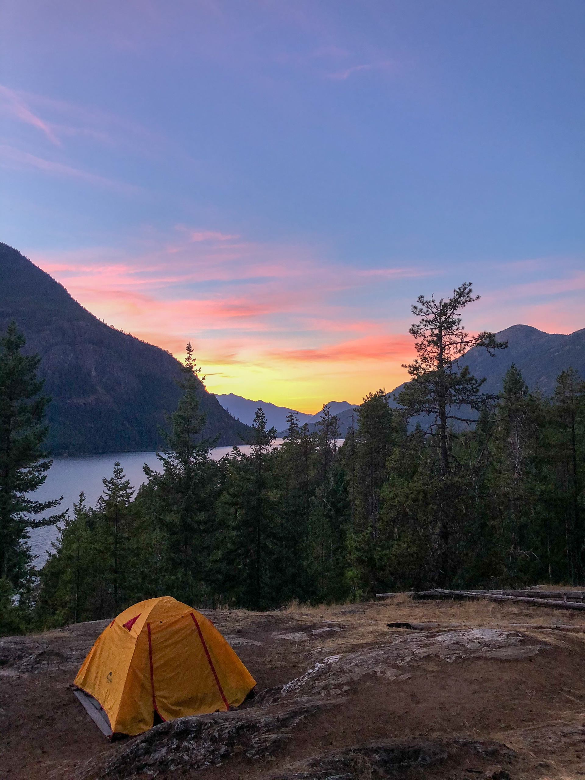
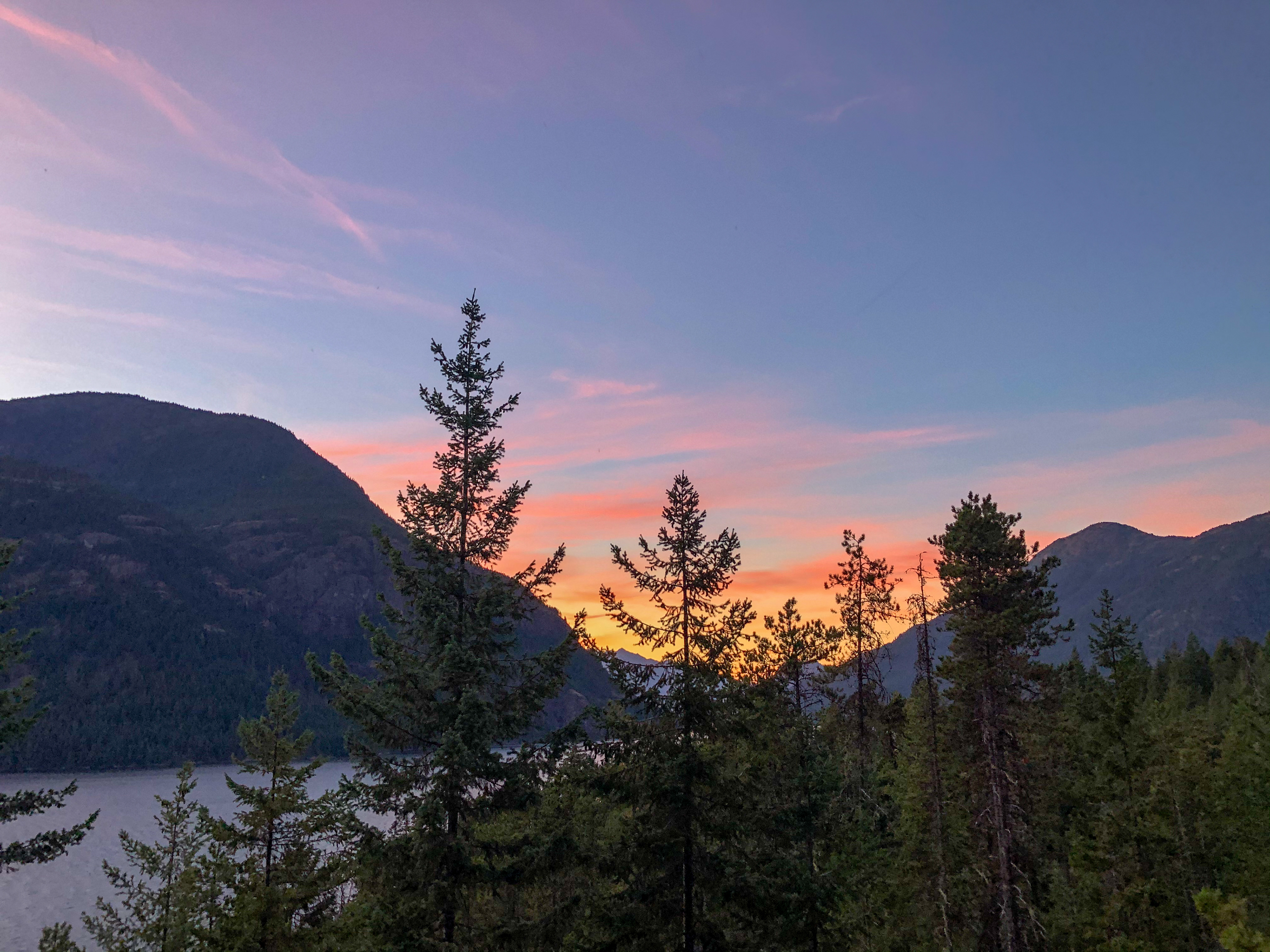


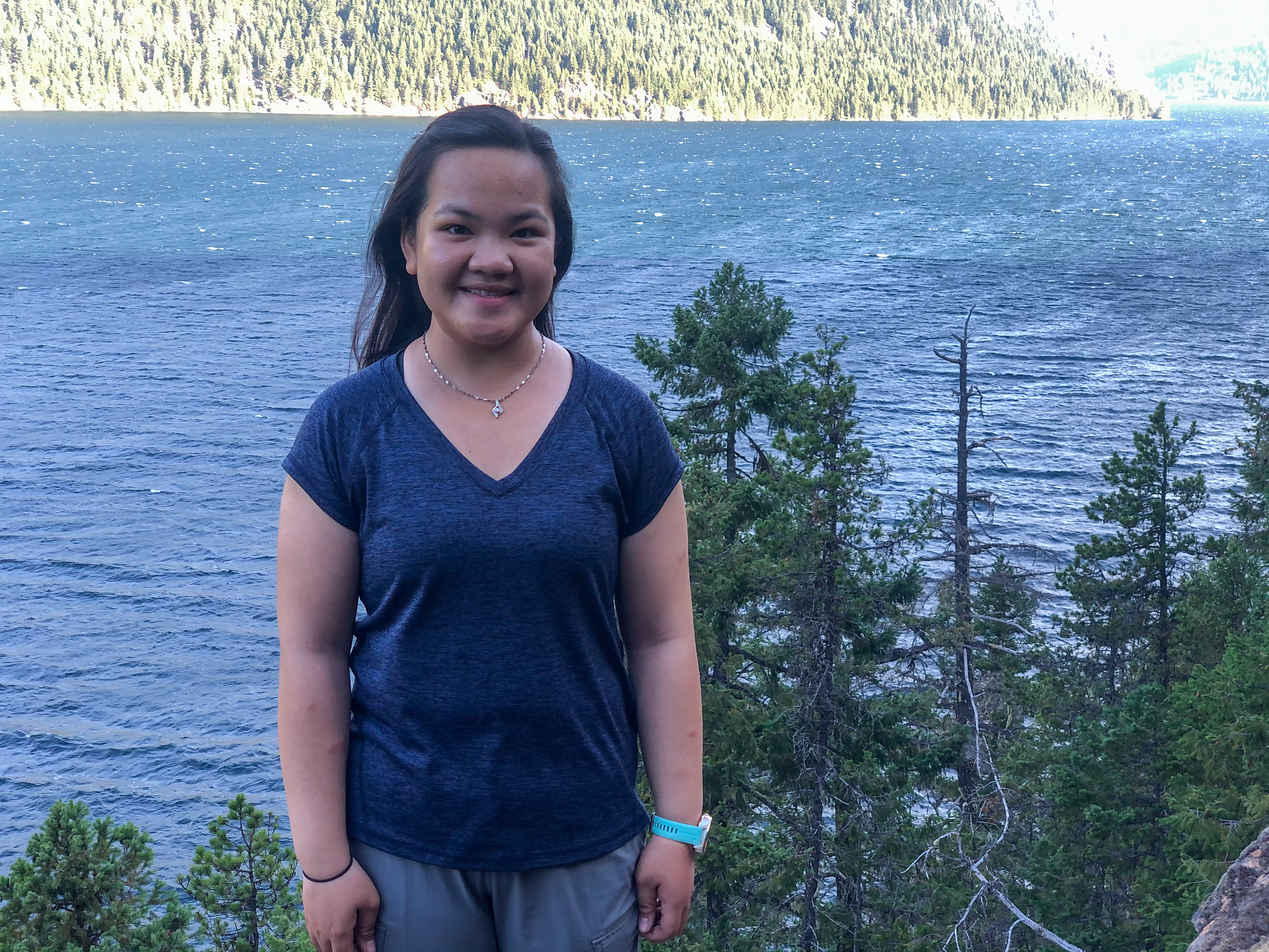
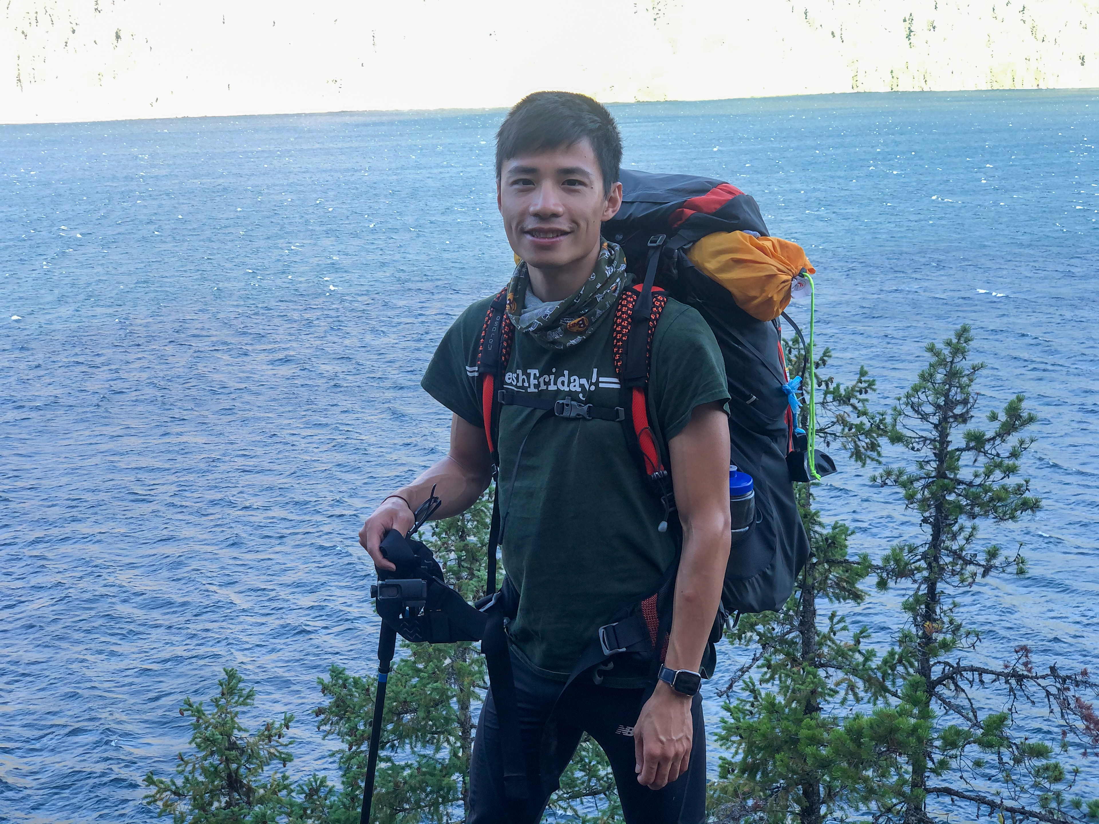

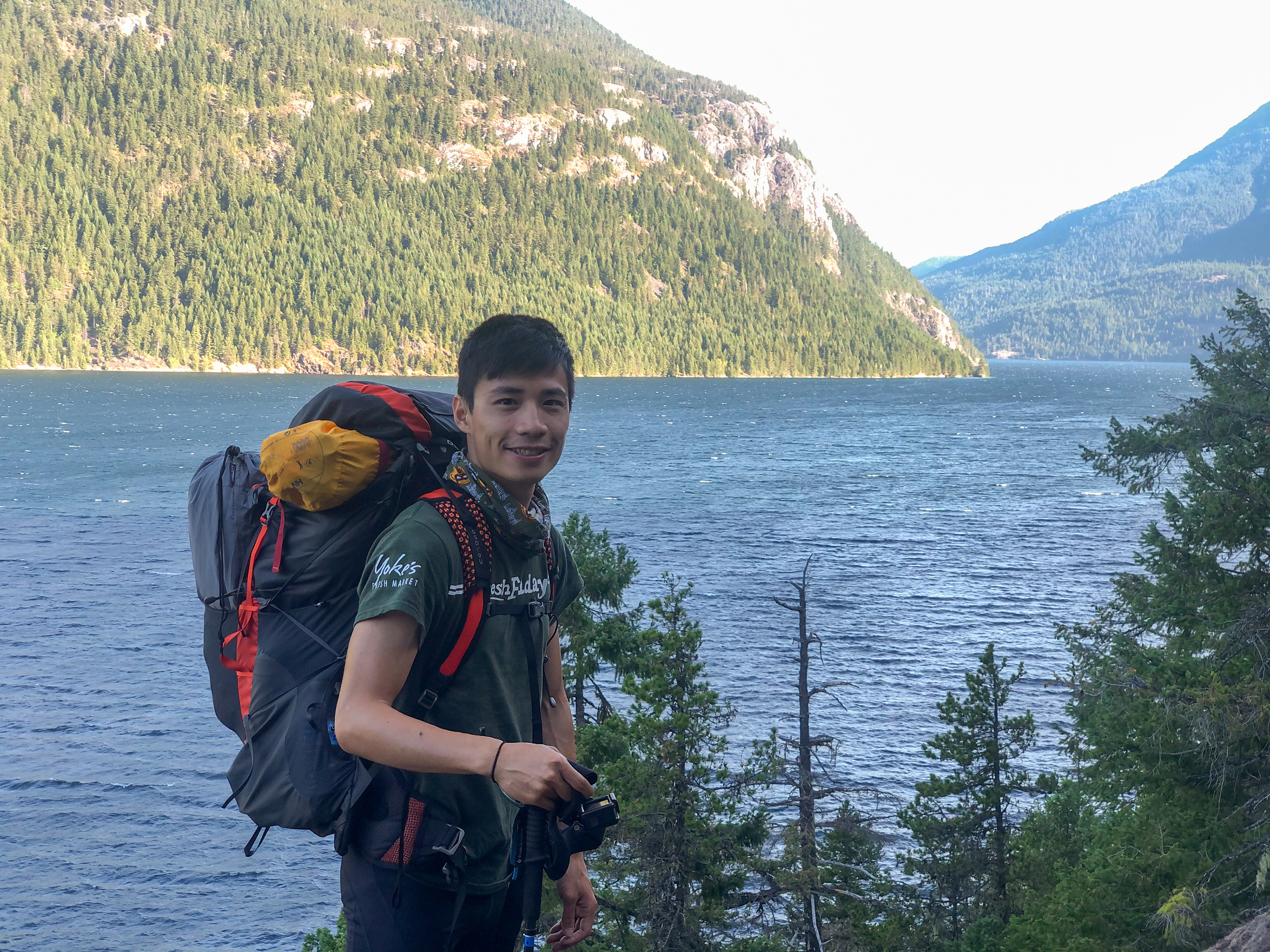
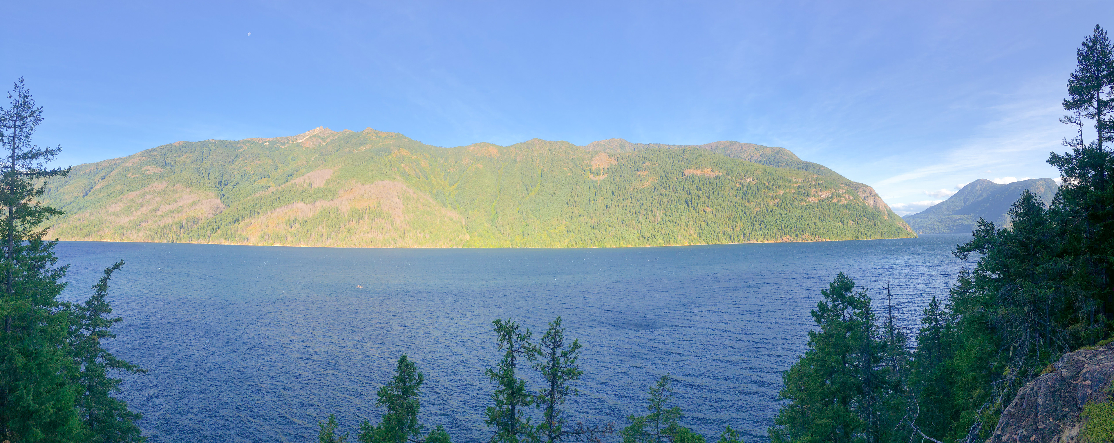
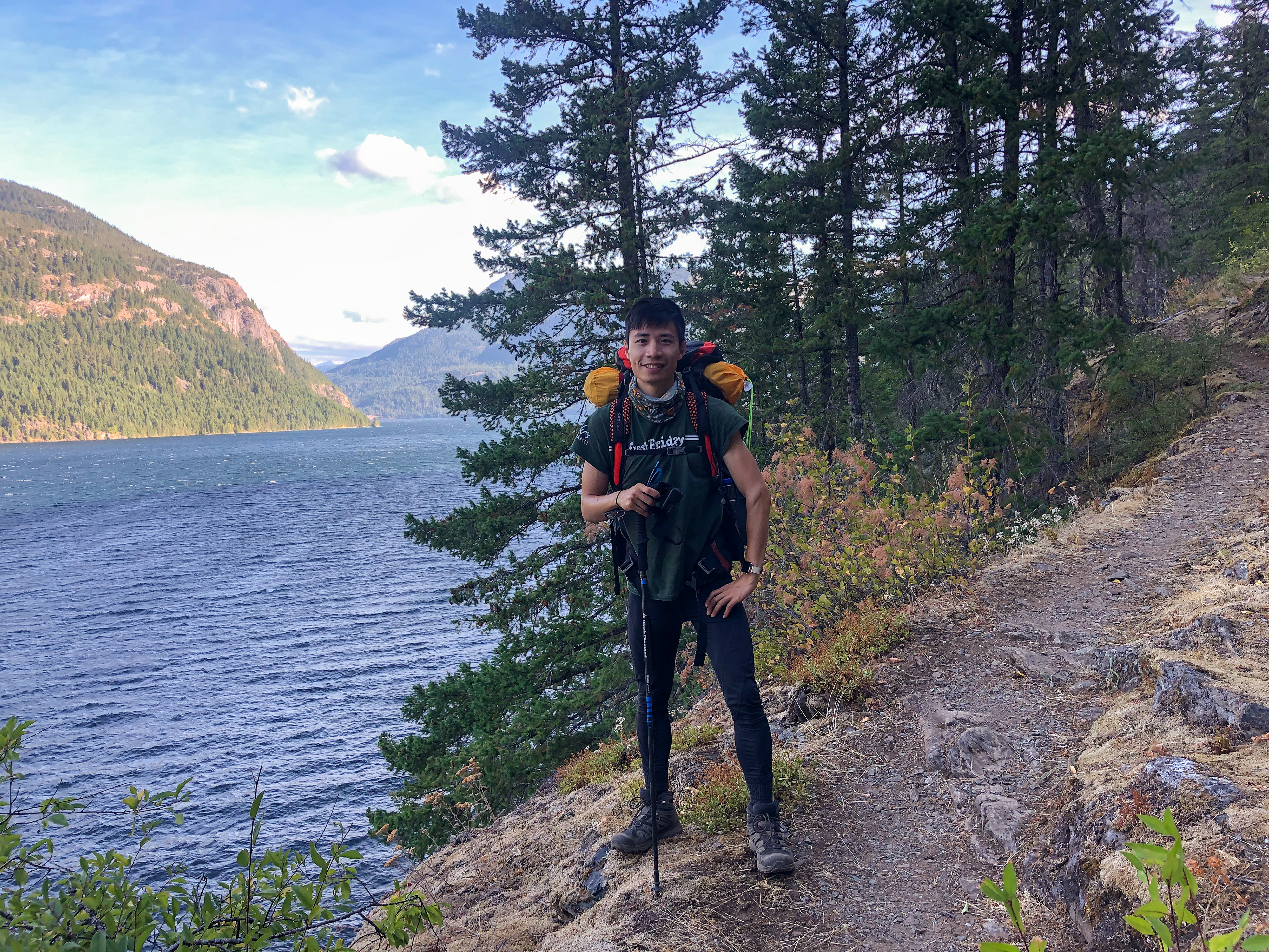
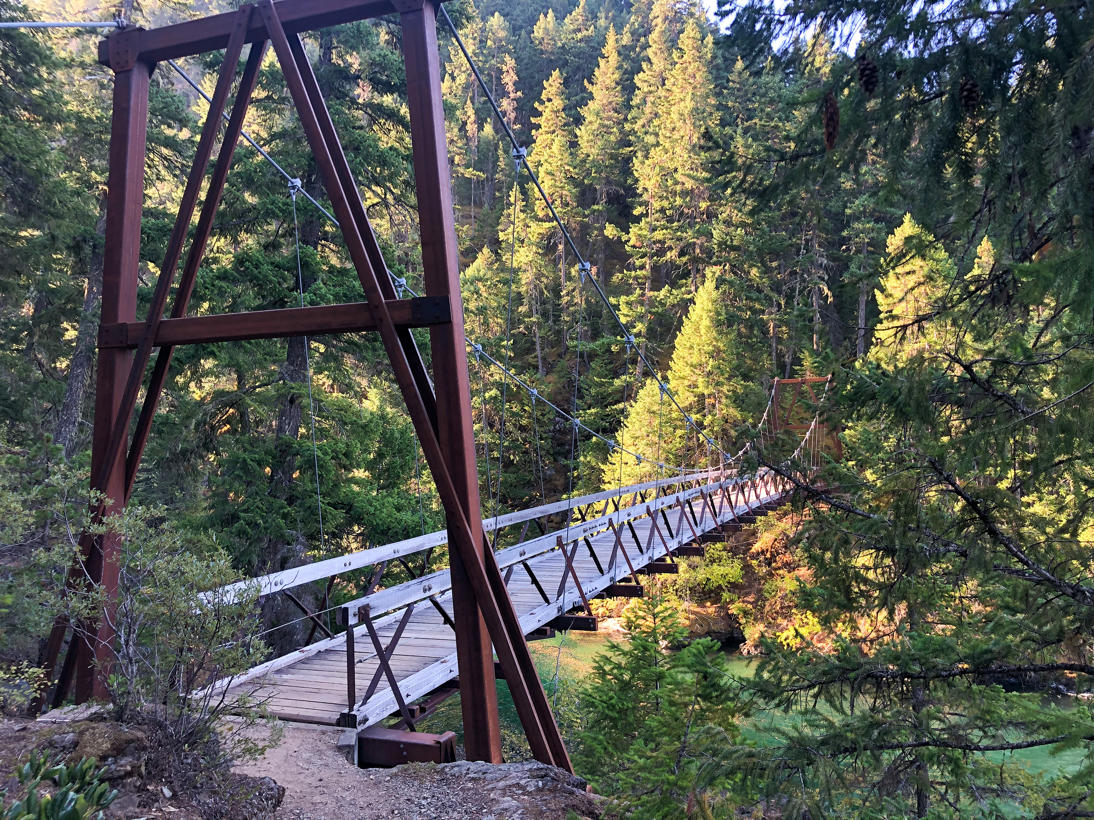

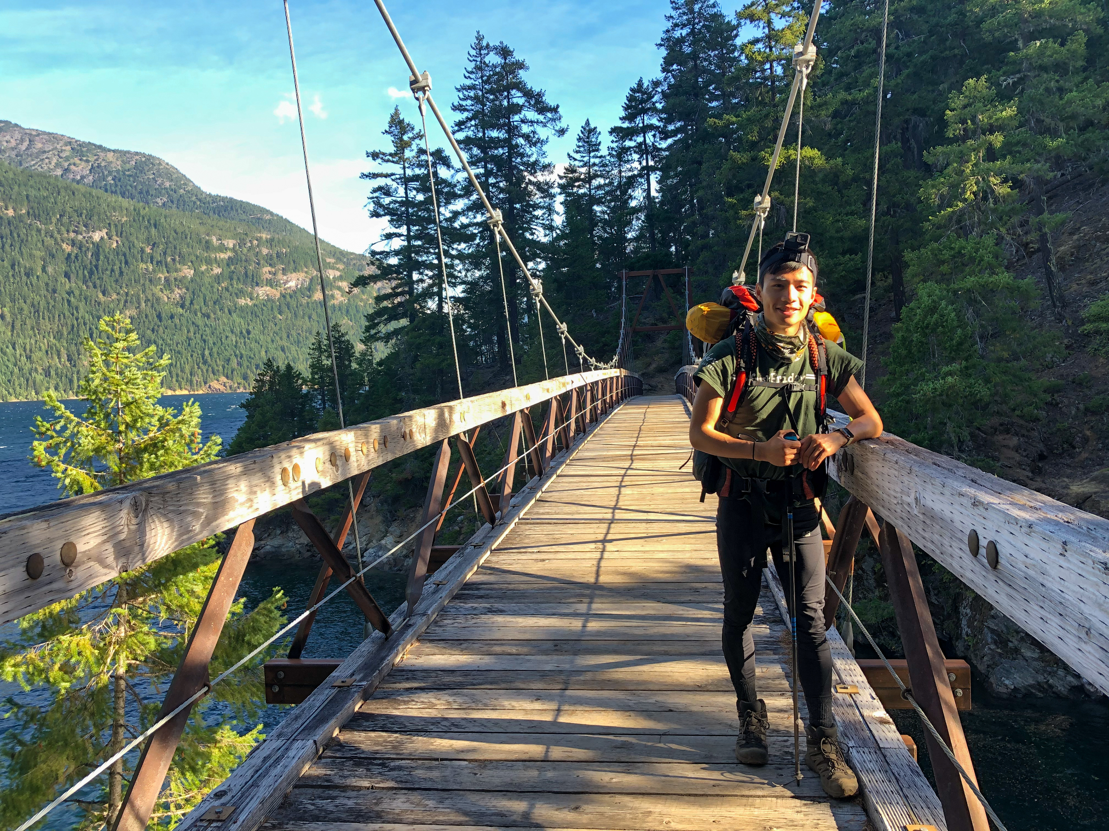
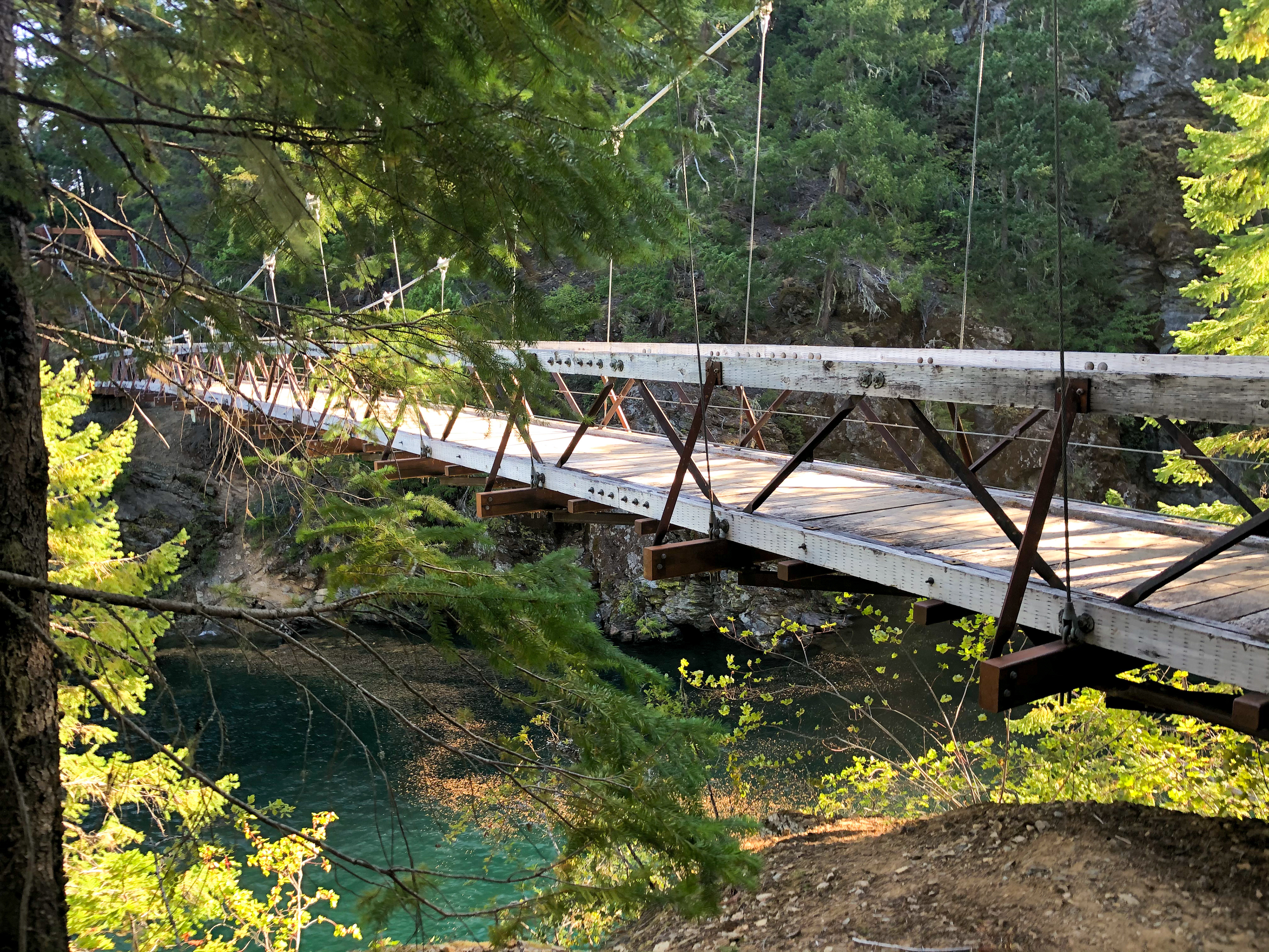
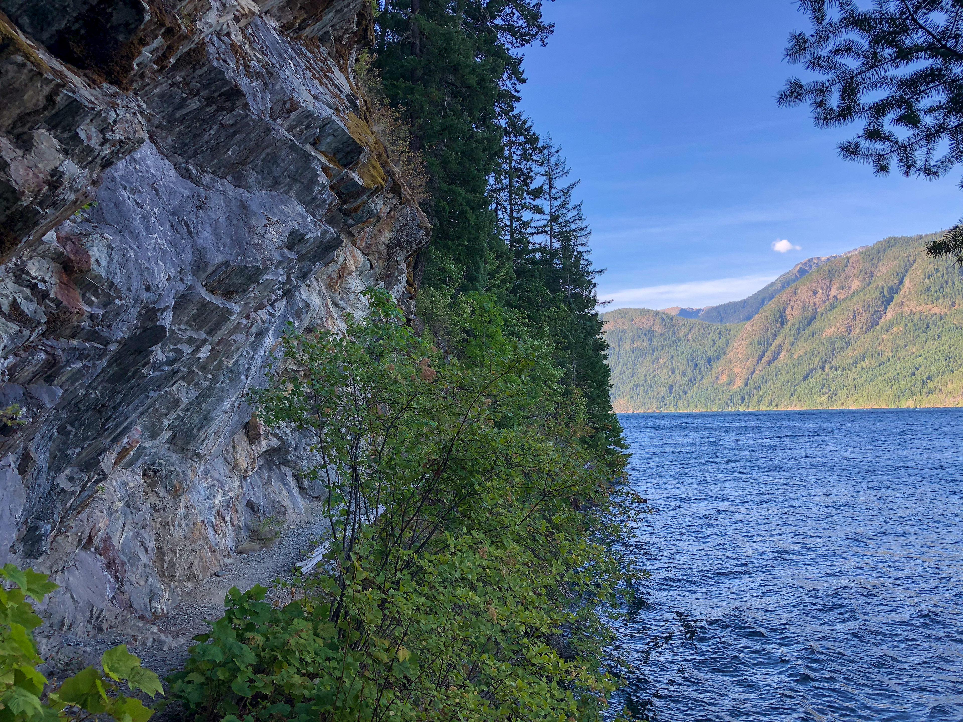
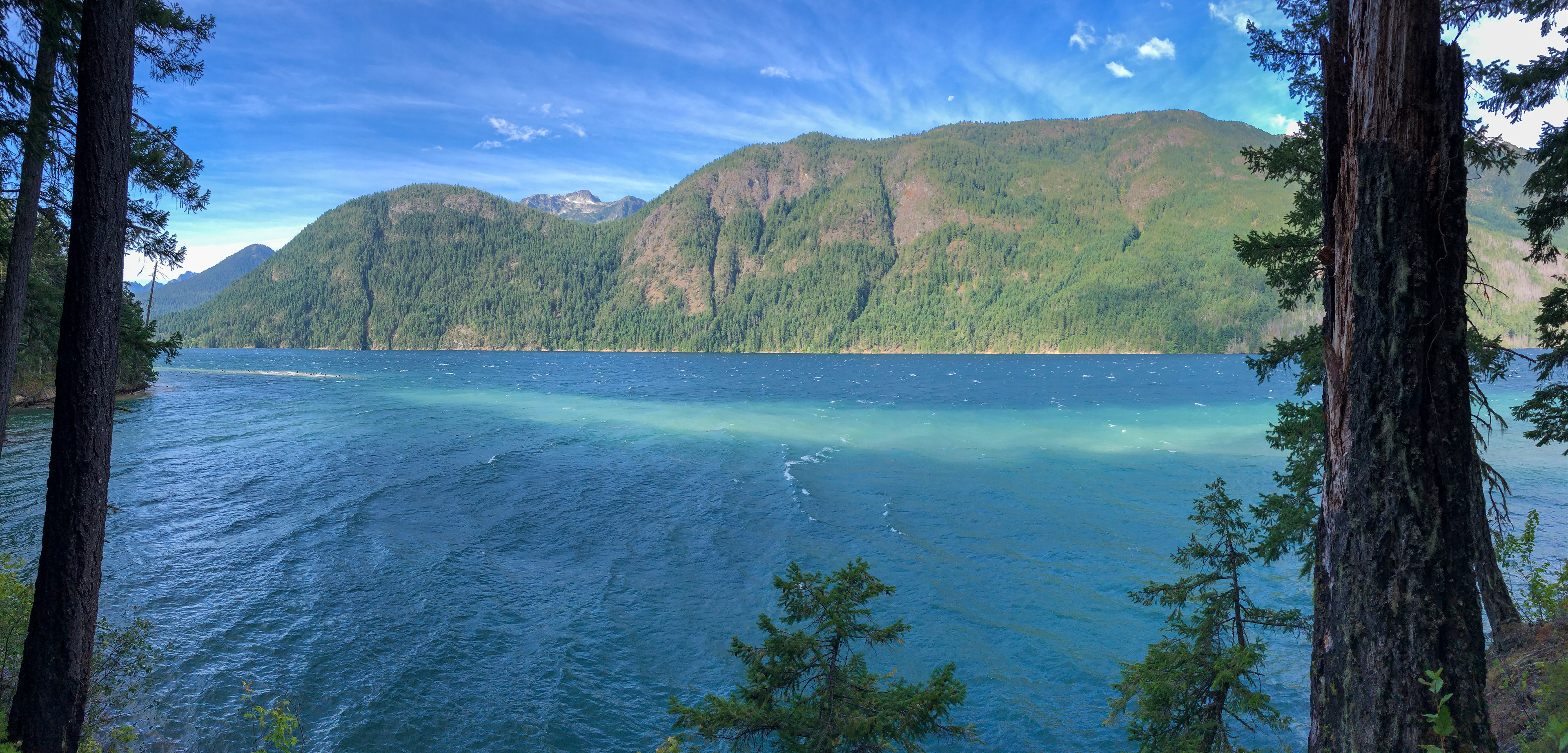
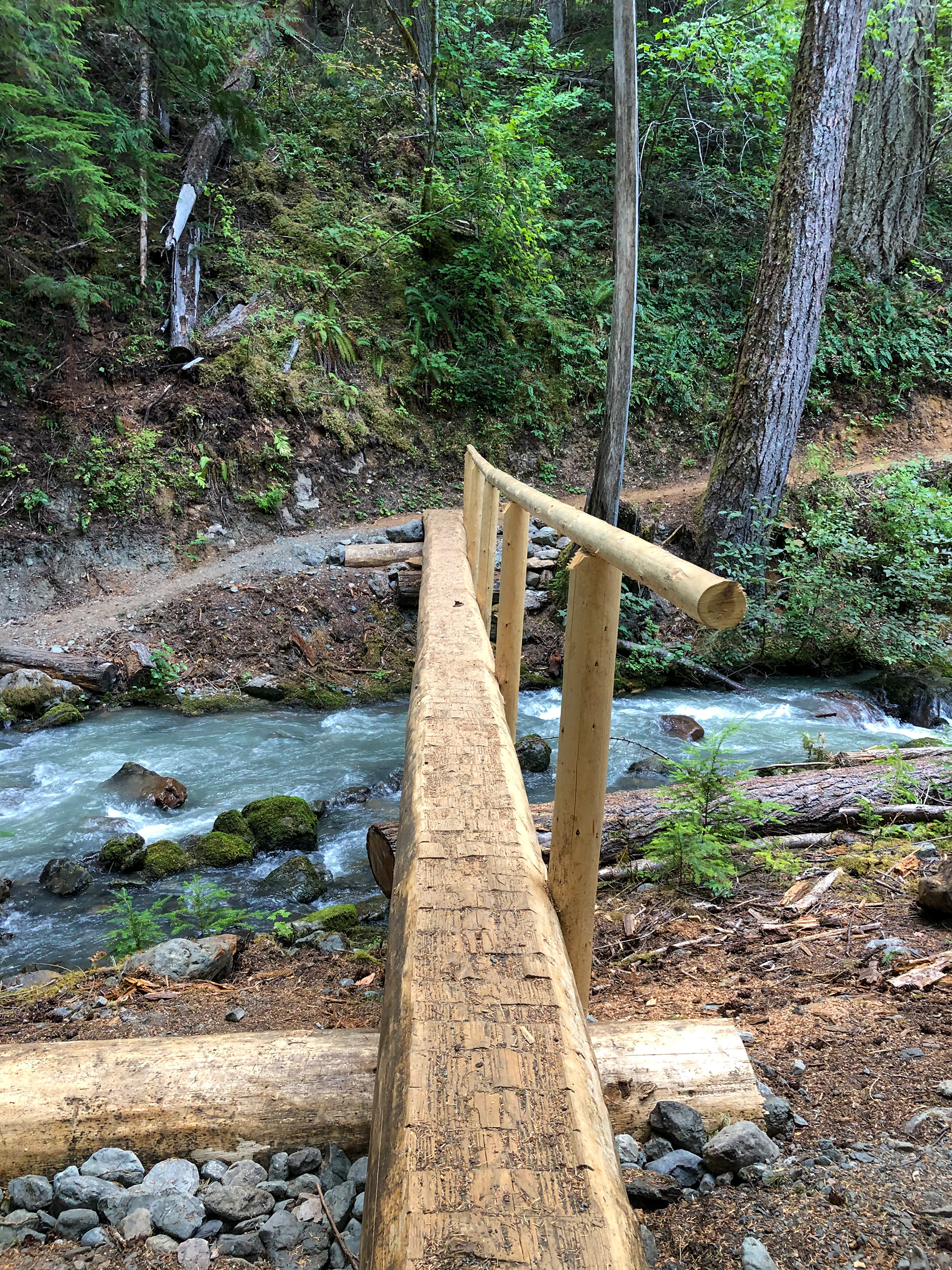
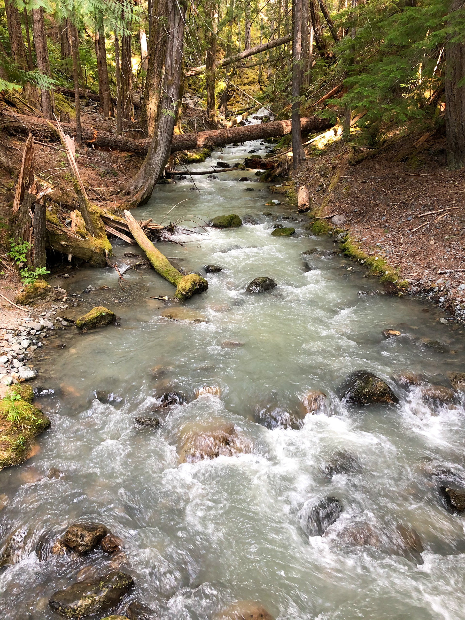
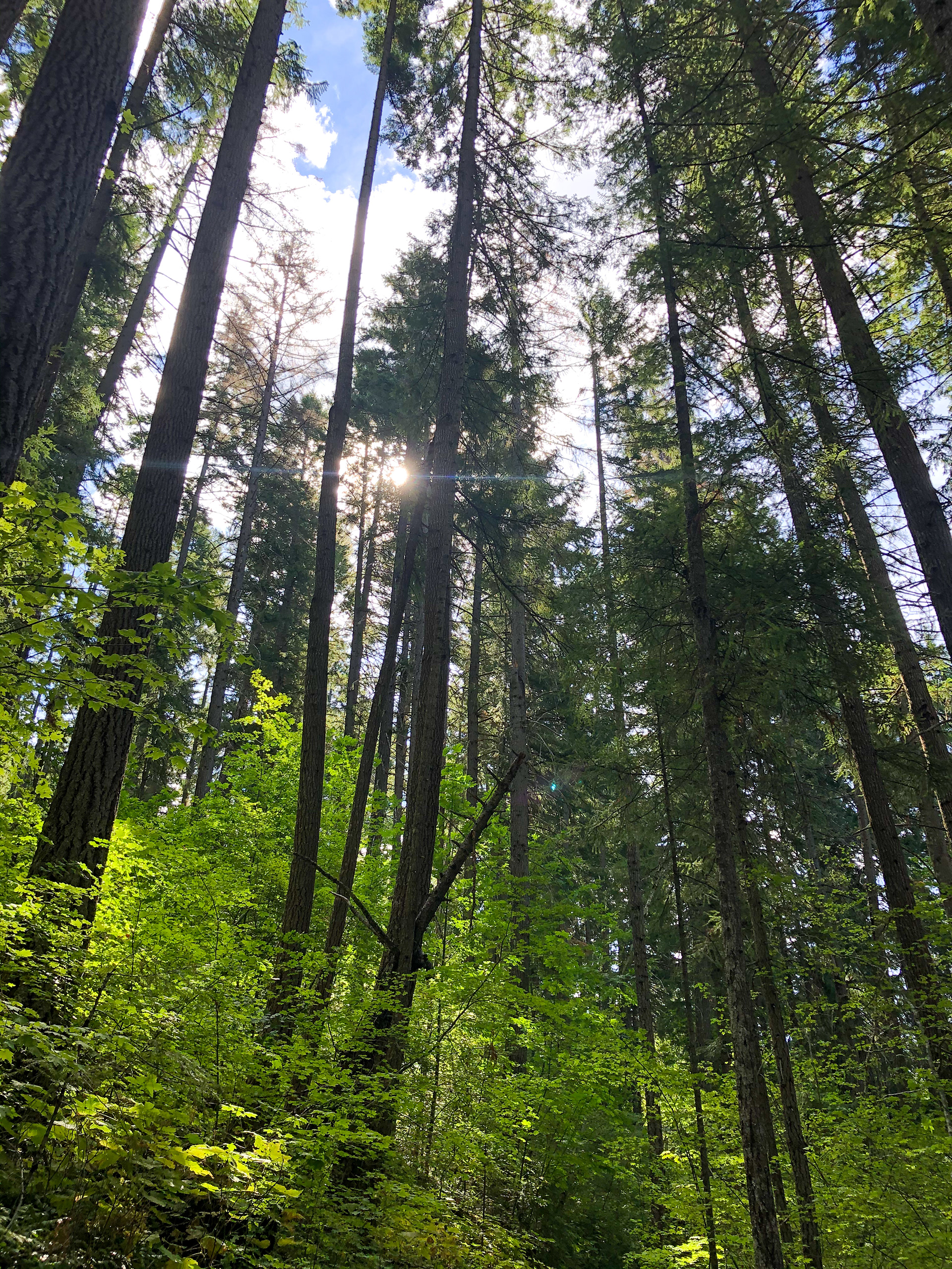
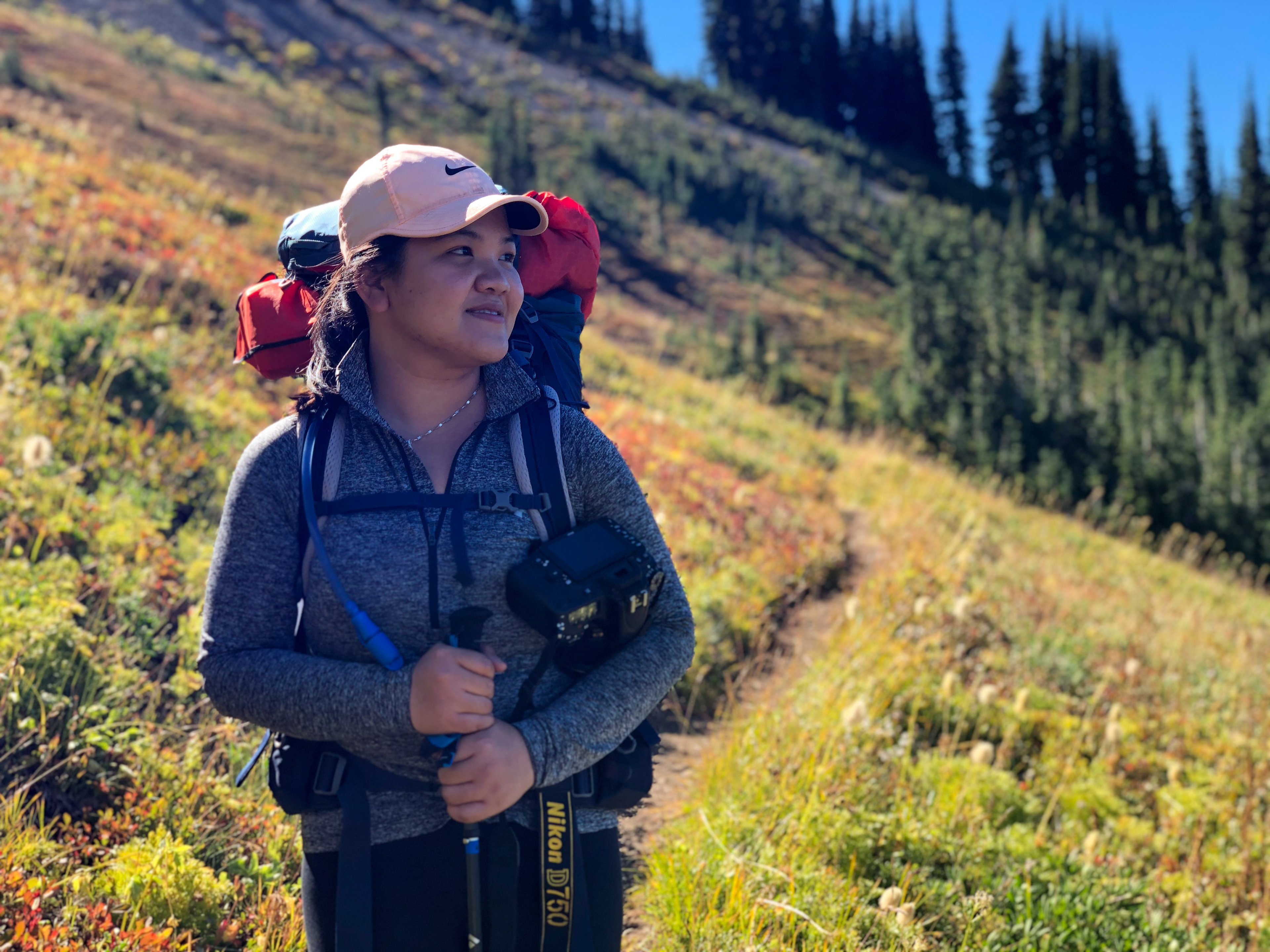

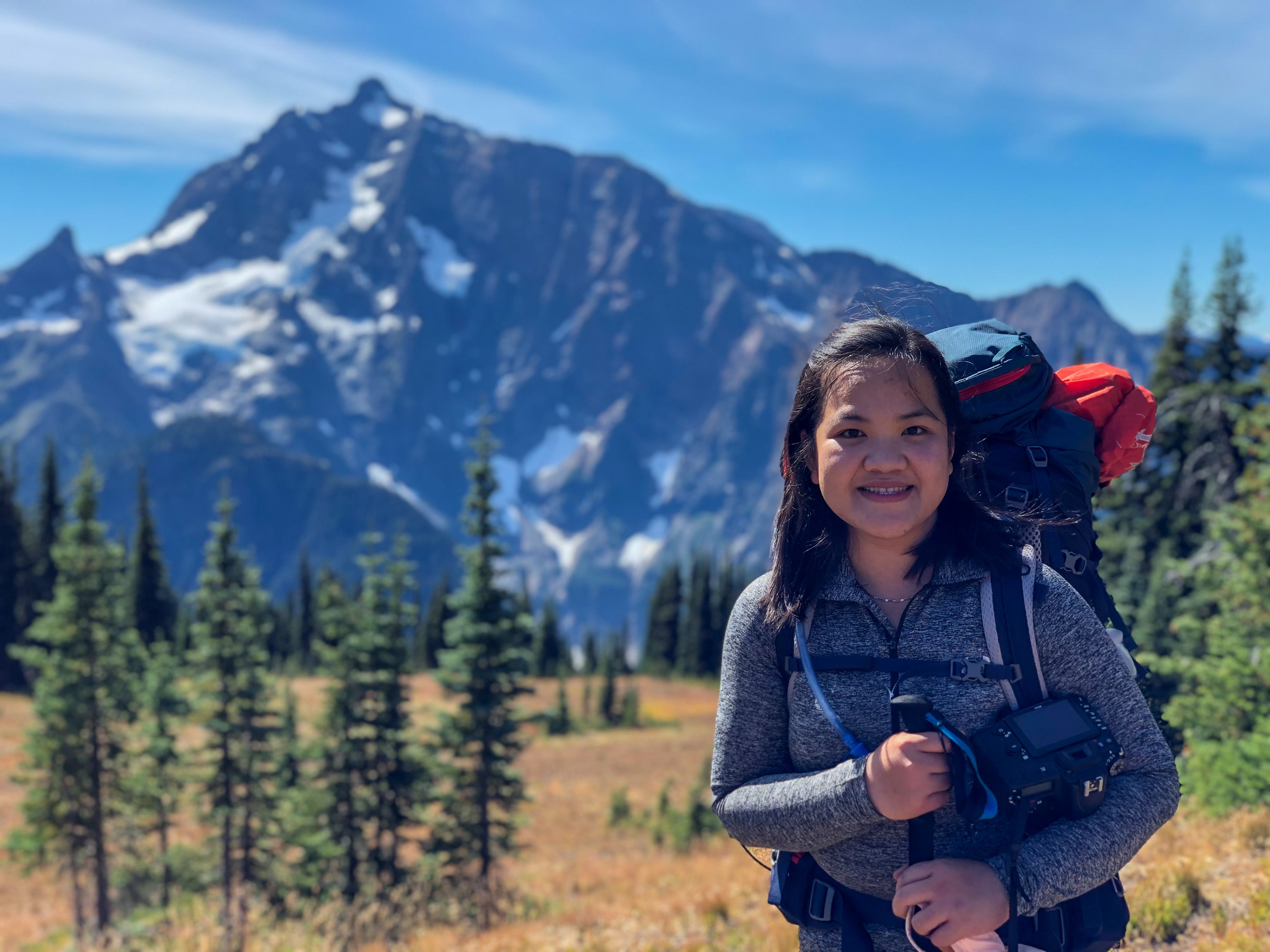
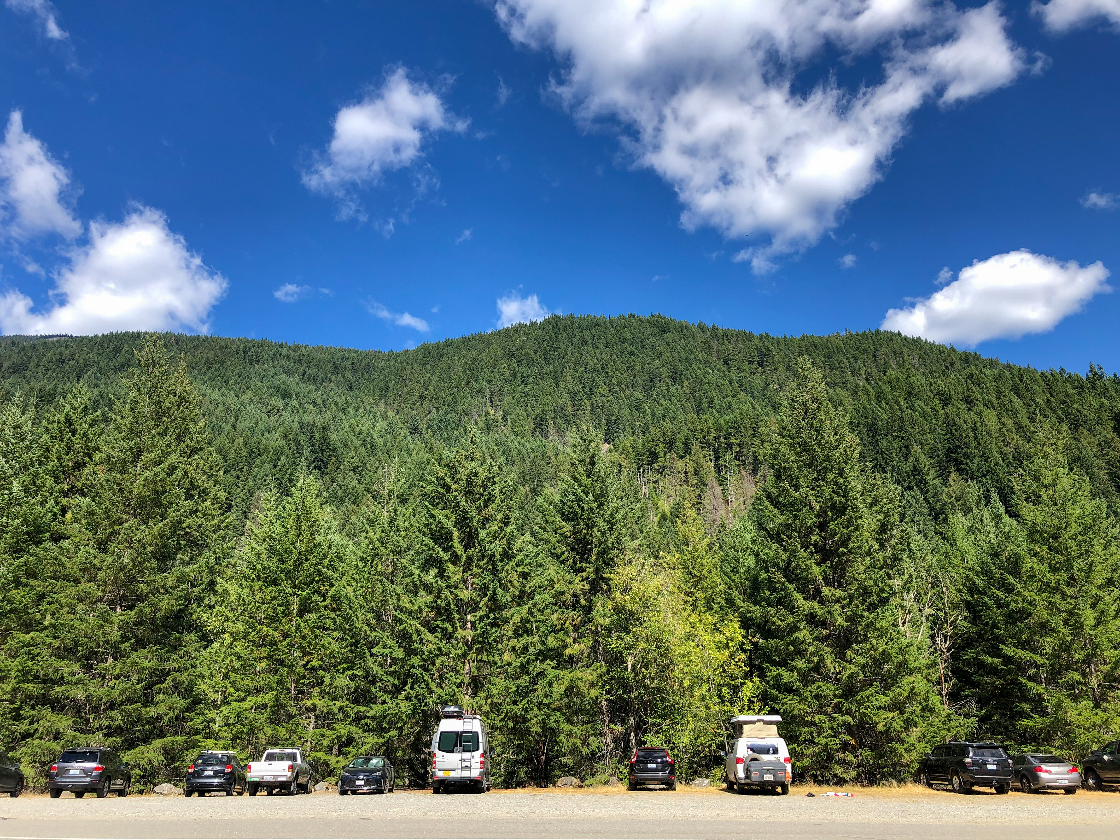


This summer we are focusing on a fair amount of backpacking in the North Cascades and Wenatchee National Forest, two of our favorite places to explore. The magic of the sprawling, lonely, fantastically wild forest was imprinted on us a long time ago, and we couldn’t wait to get back within its borders. We kicked off our Labor Day weekend with a 3-day/2-night solo backpack of the Devils Dome Loop, a 47-mile loop known for its stout 11,000’ of climbing. Yep, it was a quad buster for sure, but it was also one of the most divine backpacking experiences We have ever had with surprising solitude, crimson sunsets, and those awesome North Cascades views. It may be called Devils Dome, but this loop is darn near a staircase to heaven. [4feet]: This journey contains a lot of first tryouts for both of us, which include a 2-night backpacking, 10,000+ feet elevation gain, marathon-like distance (actually longer than a marathon), camping away from water resource (for 1 night), and 40-pound backpack(s). The trailhead of Devil's Dome Loop locates 20 miles away from the heather-maple loop trail (our first backpacking). We parked our car on the side of Highway 20 the night before our journey. According to our research, 1/4 of the trail is alongside the Ross Lake, and 3/4 of the trail is along the ridge of cascade mountains with no major water resources nearby. We well prepared our water and fruits to keep our backpacks as light but neat as possible. On the morning of 9/5/20, starting with a zig-zag down to Ruby Creek, we turned right to start our loop counterclockwise. We hiked on the East Bank trail for 3.3 miles, which is alongside the Highway 20. At the end of East Bank Trail, we turned left and started the Jackita Ridge trail. There was an immediate non-stop zig-zag incline for at least 6-7 miles; then it turned into a flat and smooth path for the next 3 miles. The trial was damp, soft, and shaded, yet there were quite a lot of overgrown plants on the side and covered some of the paths. There is a shelter for hikers to camp on the flat, yet no obvious water resource nearby. We may find a very tiny creek once a while, but neither of us felt comfortable drinking it. Hiking around Mount Crater and Jack Mountain. We basically had a full view of these two premium mountains in front of us at all times. We kept climbing as we finished our "easy flat." Again, the road is easy to walk on but no shade this time, which exhausted our water quickly. Finally, we reached our first peak as the sun was about to set. We looked for a campsite because we were already exhausted. Nope, no sign of water or campsite near this rocky peak. We moved on and climb down along the rocky cliff like a mountain goat with an 800-1000 ft dropdown. We entered the wood again. The decline continued till we arrived at a lower point, where we found a tiny creek and groups of backpackers who had already set up their tents. Though we were not alone, we did not dare to stay outside the tent for too long or too late. It is a bear country and could be a mosquito city too. The first night of our journey is a luxury. What I meant is that our dinner was just as good as the one on the table. We have fruit choice of pineapple, orange, plum, grapes, avocado, and banana. We cooked beef noodles and REAL sausage. For the drink, we drank that 1 liter of coconut water which I carried along the way. We fell asleep around 8 pm and woke up at 10 pm. The night sky was clear and full of stars, yet we couldn’t see much due to the pine trees around us. Then we went back to sleep till morning. TOTAL OF 16.1 MILES/5,800 FT ELEVATION GAIN It was a lazy morning. Our muscles did not feel ready for another long hike. We had a few slices of toast and banana as breakfast, then we moved back on the trail. Unlike day 1 with continuous incline, there is a lot of up and down on day 2. We first hiked all the way down to the big valley. There was a bigger creek, but we already refilled our water in the morning, so we did not stop. Afterward, there was a significant incline for a couple of miles, then it turned into a flat trail. The trail is “Highline-like”, which is along the side of mountains, (above the tree lines). We can see the mountain groups in front of us. It also meant that there was no shade, but the wind had been really helpful to cool us down efficiently. Jack Mountain came closer and closer in our eyesight as we proceeded our hike. This “flat trail” seemed forever (5-6 miles) till we climbed up again for our main course – devil’s dome. At that point, shade is luxury. The incline in sun was brutal! By that time, the sun was high up in the center of the sky, yet our water is low. As we were approaching the dome peak, the trail turned into a really rocky and dry path. The wind was still present but not enough to cool us down anymore. Finally, we arrived at the dome. We found a tree shade nearby and had lunch. The view on the dome was breathtaking and hard to catch by photos. On the top of Devil’s Dome, we saw 360 degrees of all N. Cascade mountains around us. Of course, Jack and Crater mountains are the biggest ones among all because they are so close to where we stood. We did not spend much time on the dome. We were racing with time. There were 7 more miles of decline before we can reach the major water resource (also the campsite) – Ross Lake. It was 3:30 in the afternoon. The dropdown of altitude is crazy, at least 5500 ft (from dome to lake). Our body tried to adjust to the change of altitude as we hiked down, yet we still experienced some nausea and headache. Do not let the continuous decline fool you! There were tons of broken trees and branches in the way, for which we had to stop and think about how to climb over constantly. And those “unbroken ones” which may fall down anytime soon were “waving” and making a lot of noises on the side. It was our first time to feel scared of hiking in the wood. Sun was setting and eventually away from sight at 6:30 pm. We were still in the wood. The trail became darker and darker. We started to hike faster or even run as we concerned about bear activity in the evening. Finally, we reached the lake; however, we were not able to touch the lake water because there was no shore or beach. There was only a rocky cliff which was still significantly higher than the surface of the water. We camped on the rock near to Ross Lake and went to the closest creek to get water refilled. After we finished our water task, we encountered a deer on our way back to the tent. This time, this night, there was NO ONE nearby. We thought we were the only human that night there. At night, we did not dare to go to urinate without a company. Yet, we did not sleep as early as the previous night. We spent more time to see stars and Milky Way. The wind was soft but not freezing. We actually slept really well; plus, we were really exhausted. TOTAL OF 18.6 MILES WITH 3,000 FEET OF ELEVATION GAIN. Last day, we could not wait to finish this long journey. We had not taken a shower for 2-3 days already. Ross Lake is an angry lake; a beautiful, huge, deep, but wavy lake. Waves never stop throughout day and night, so we did not have the intention to come closer to her. We hiked back on the East Bank Trail. It was a nice hike. The trail is alongside the lake, yet we were still not able to touch the water due to the trail path which is still significantly higher than the “angry water.” The sound of wind and water soothed our mind and relaxed our muscle tiredness. The last 12 miles were basically flat. The condition of the trail is family-friendly. No major elevation (still 1,500 ft gain), no broken branches in the way, and the path is soft. After 6 miles, the trail led us back to the wood. It was still next to the lake but getting further and further till we could not see or hear the water anymore. Our speed was fast! At least 2 miles per hour; sometimes we even hiked 1 mile per 22 minutes. During a break, we encountered two horse riders and two beautiful horses. East Bank trail is the only trail in this loop allowing horse riding. With perfect weather and a well-maintained trail, 12 miles are still not short by any means. It took us exactly 6 hours back to Ruby Creek. The last zig-zag incline from Ruby Creek to Trailhead (maybe 0.2 miles) was painful. Our legs and feet are so done; every step on an uphill required a lot of effort. Finally! We accomplished our 47-mile backpacking in North Cascade National Park. It has been the most hardcore backpacking we have ever done. So grateful that I have an amazing partner who is willing to understand me and go crazy with me so that both of us can break our limits and grow stronger together. 9/5/20 – 9/7/2020


