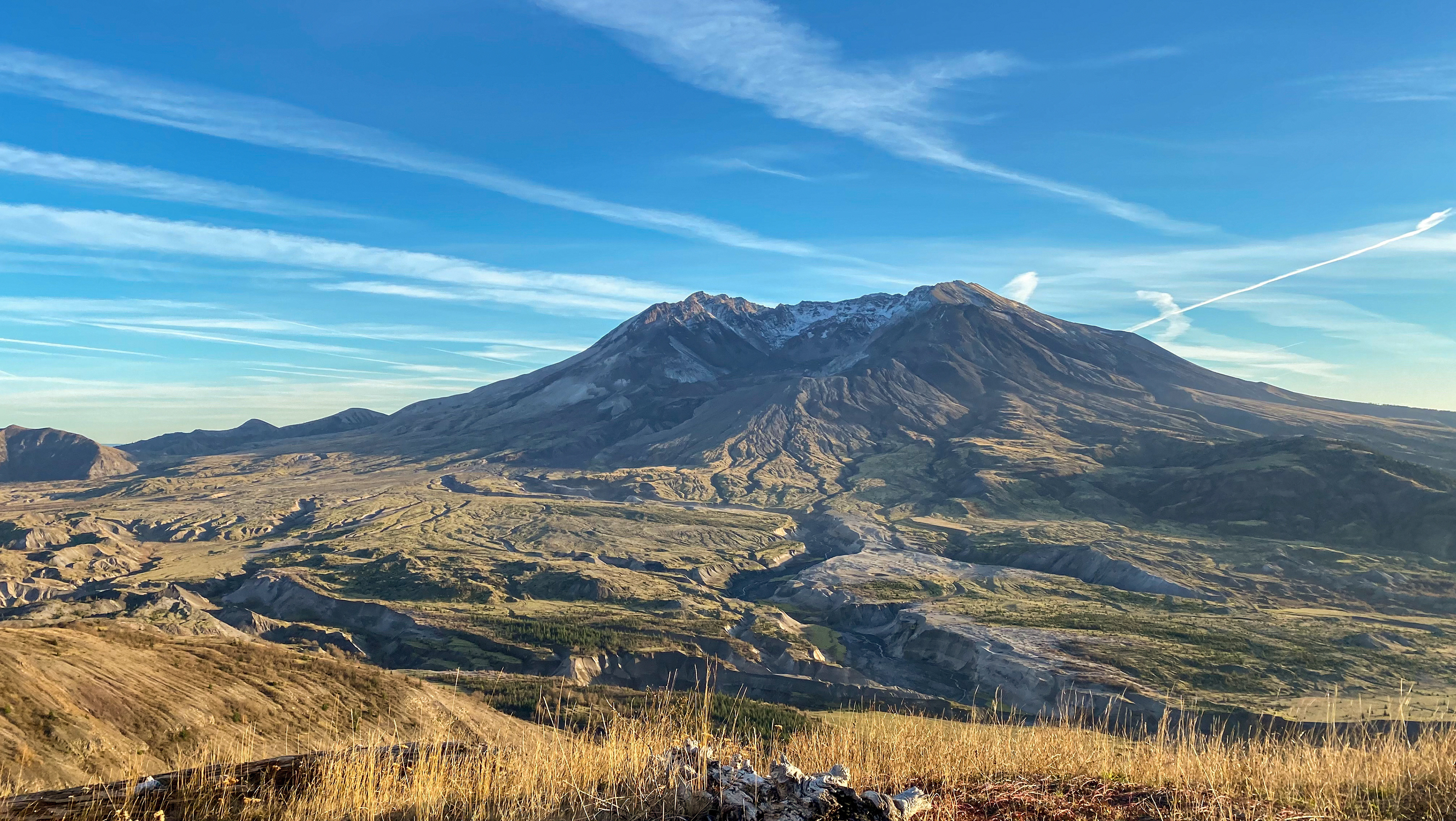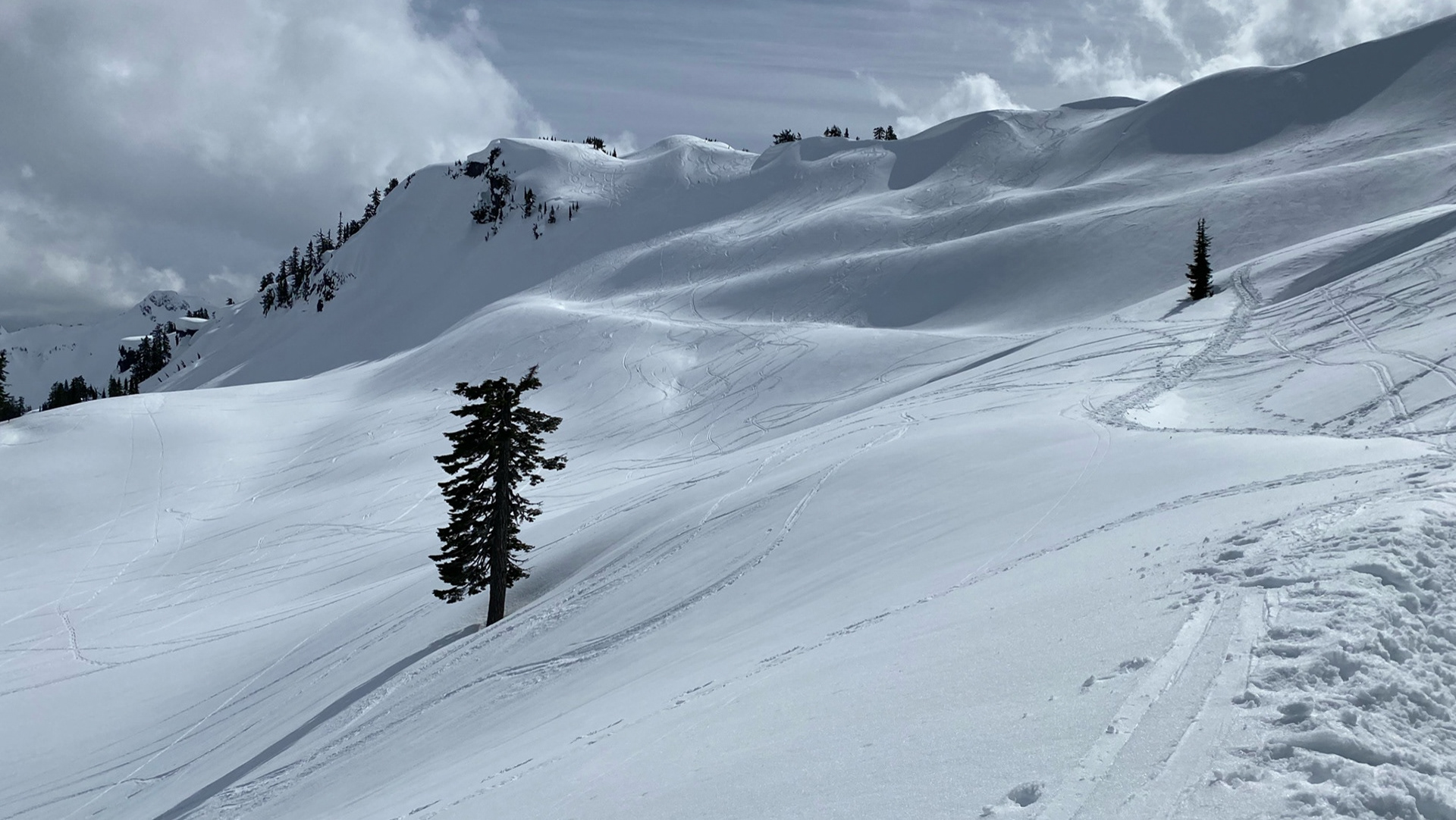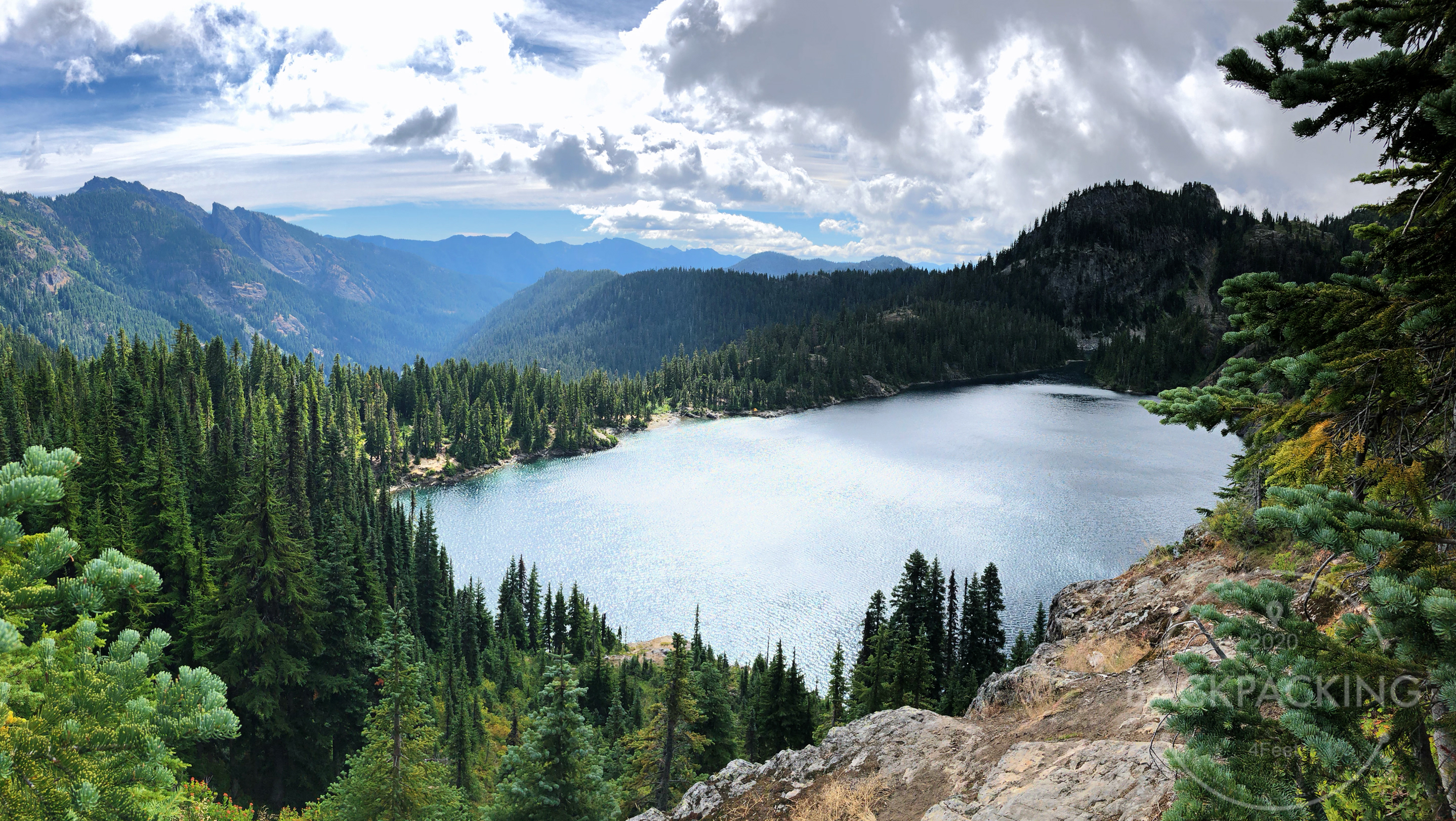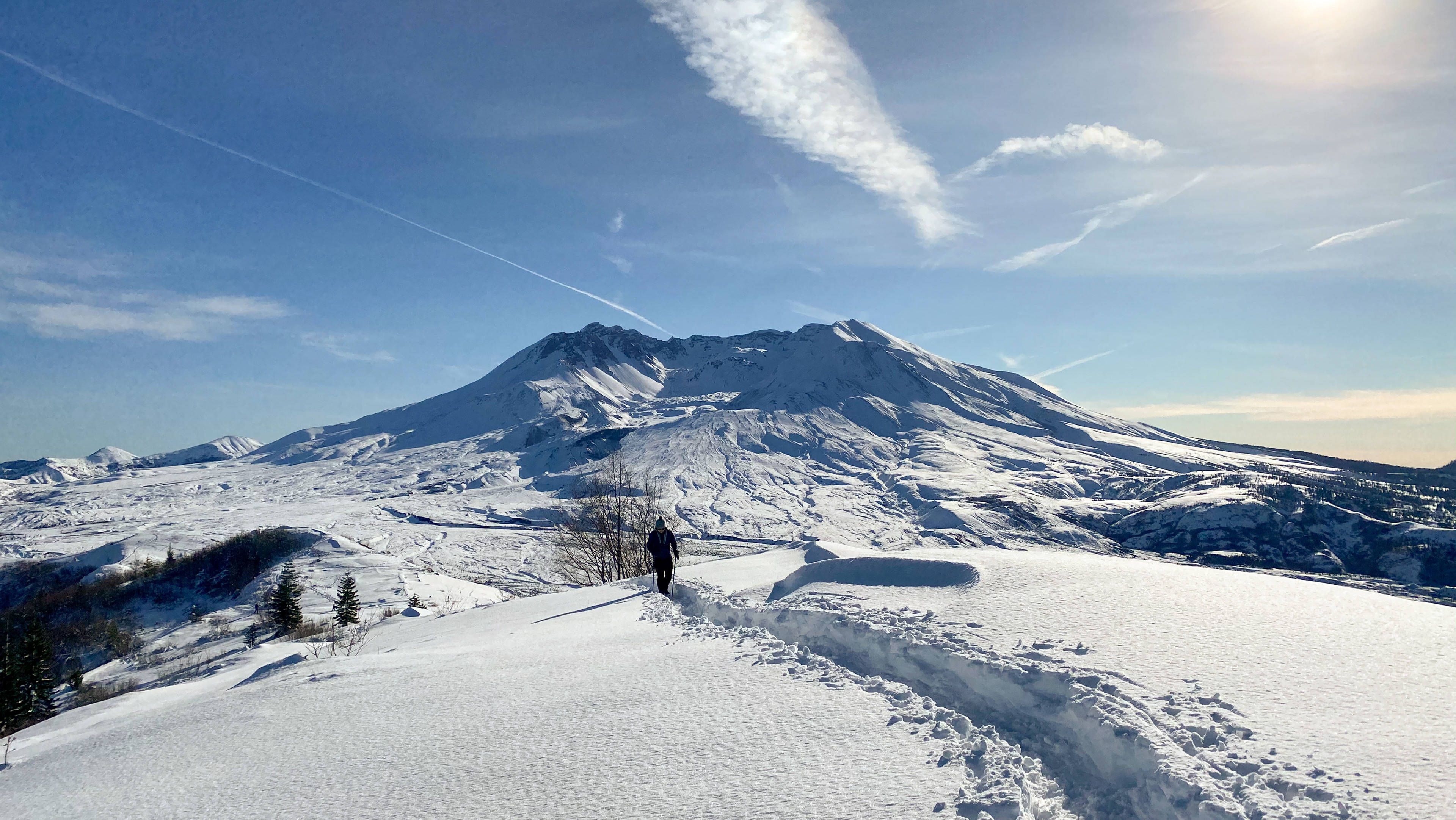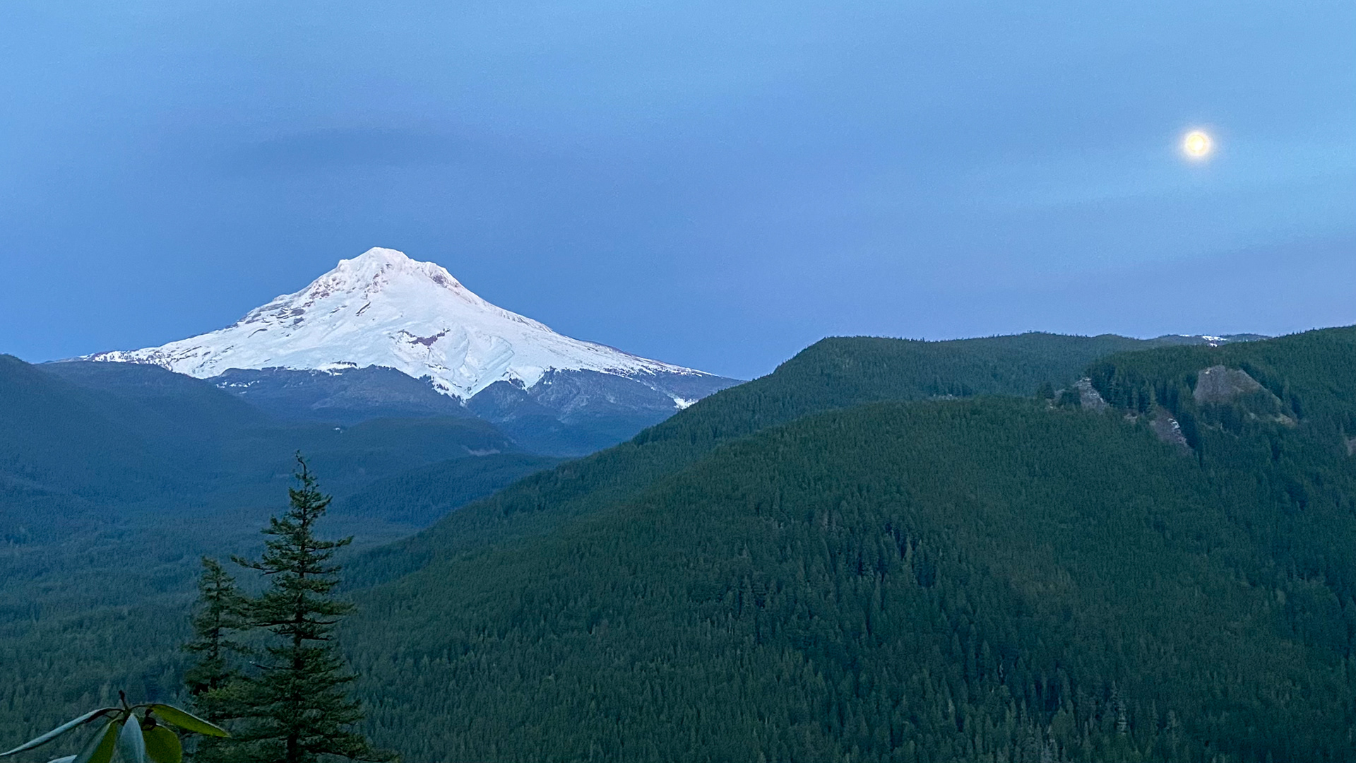
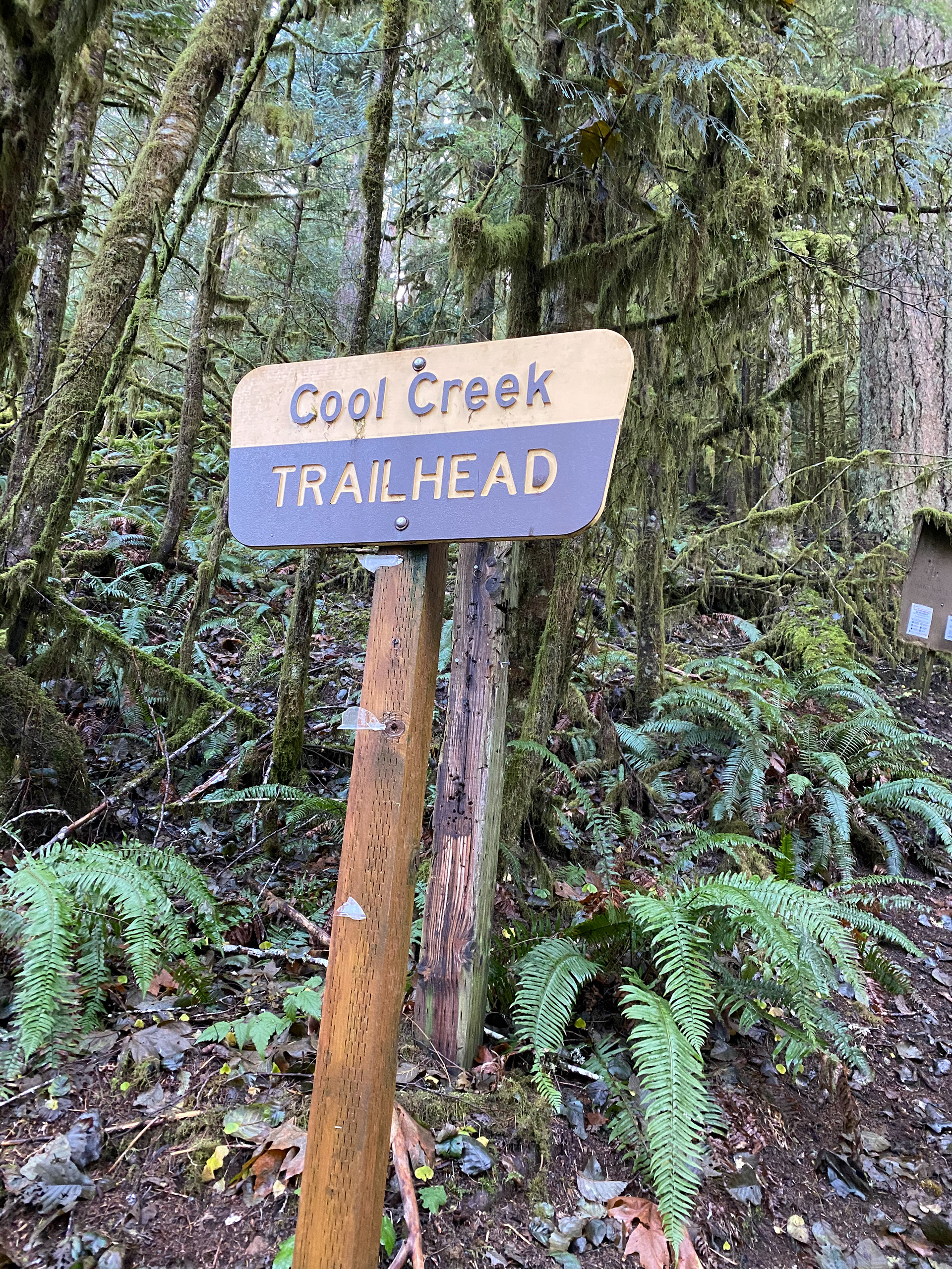

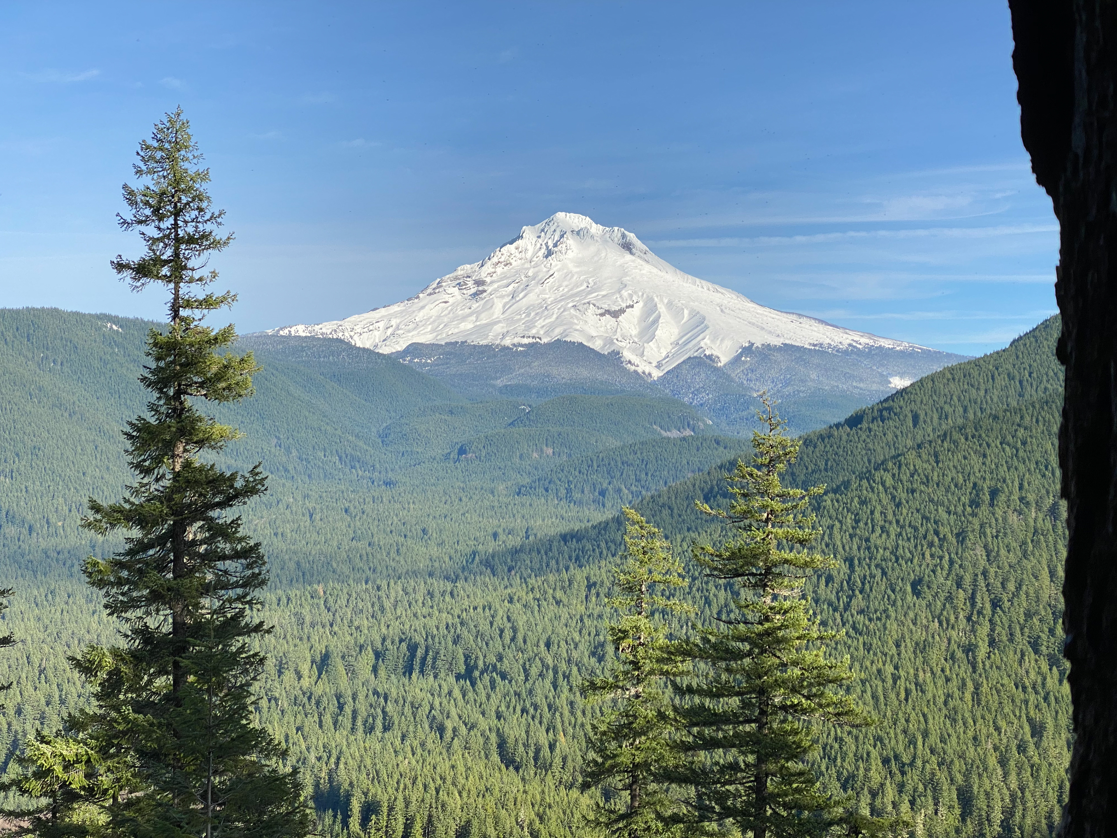
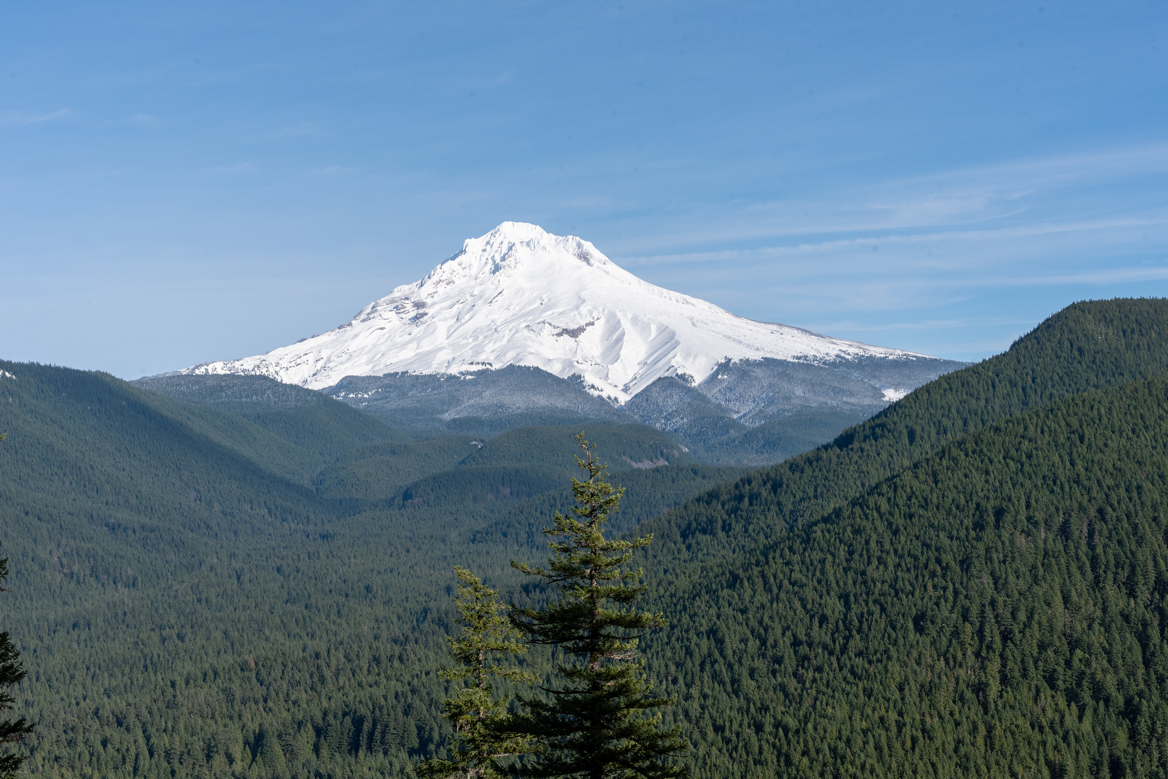
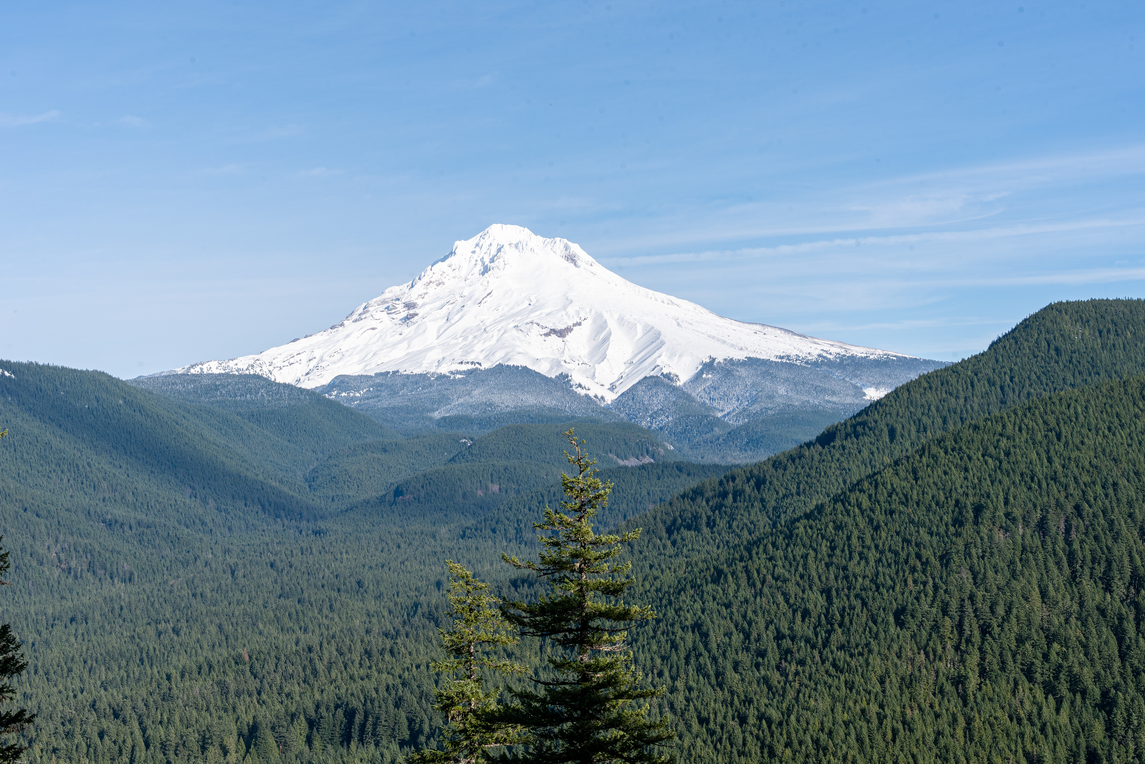
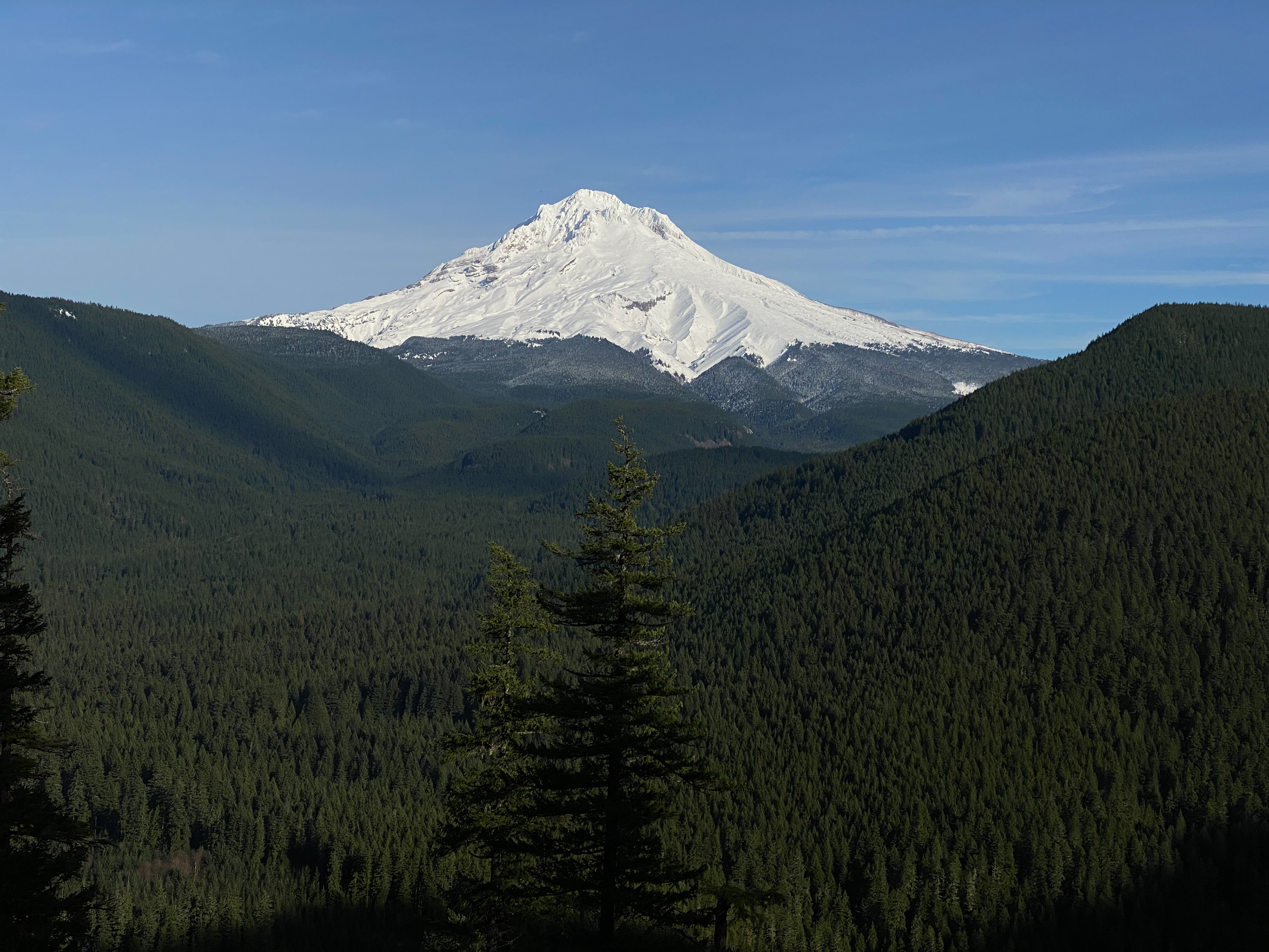
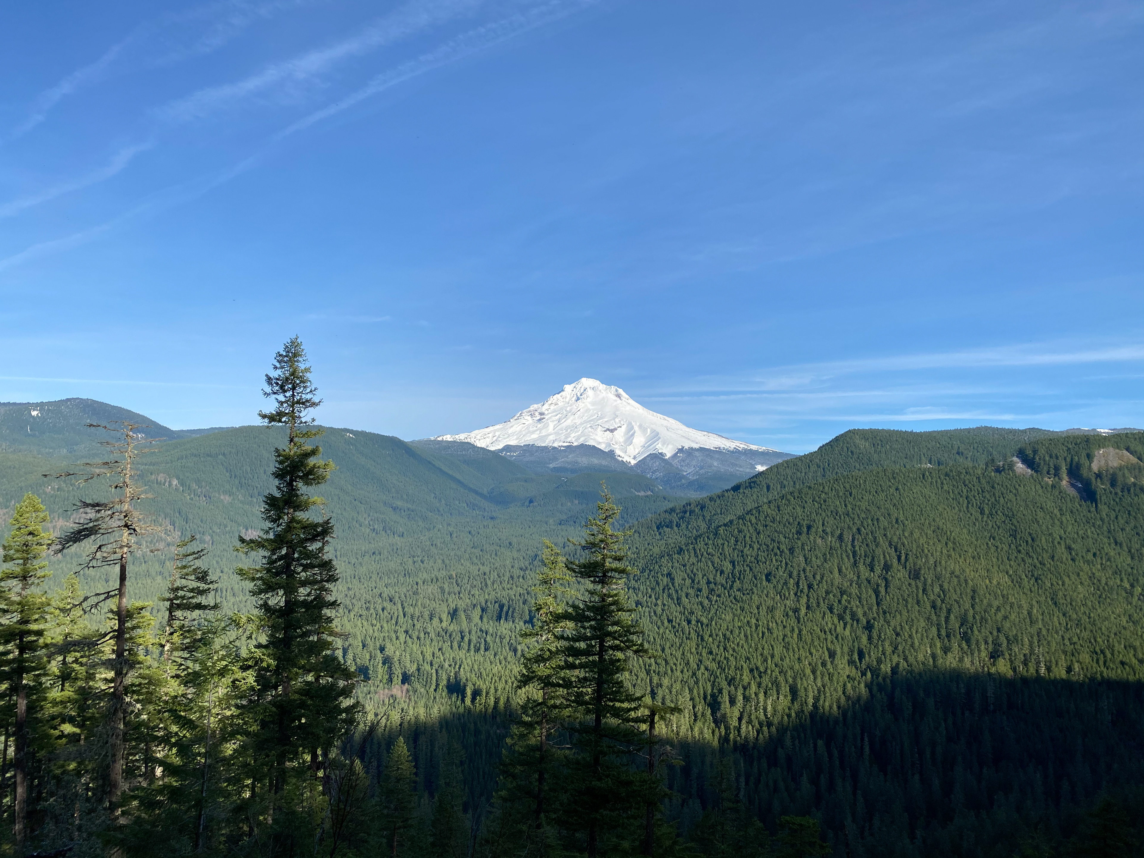
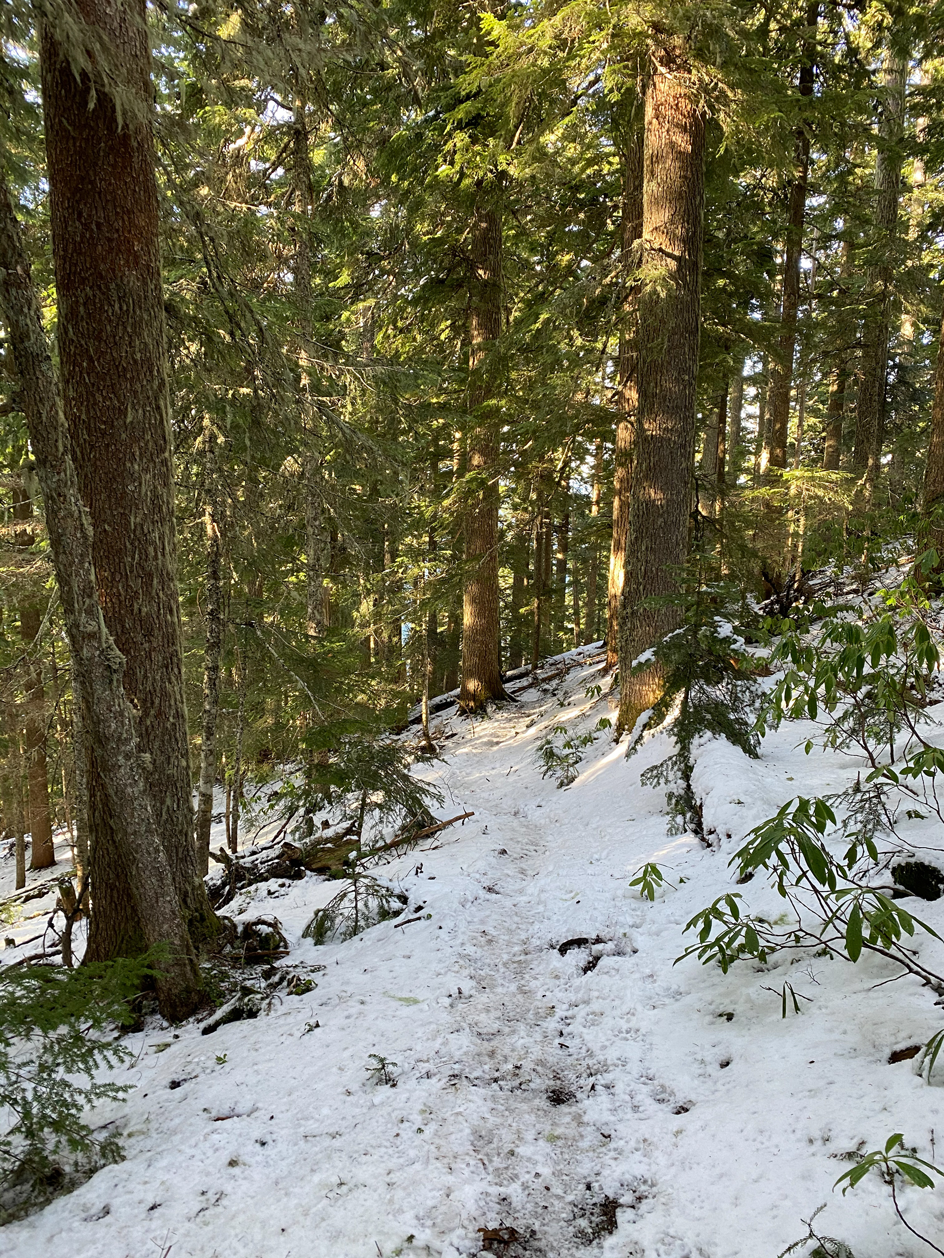
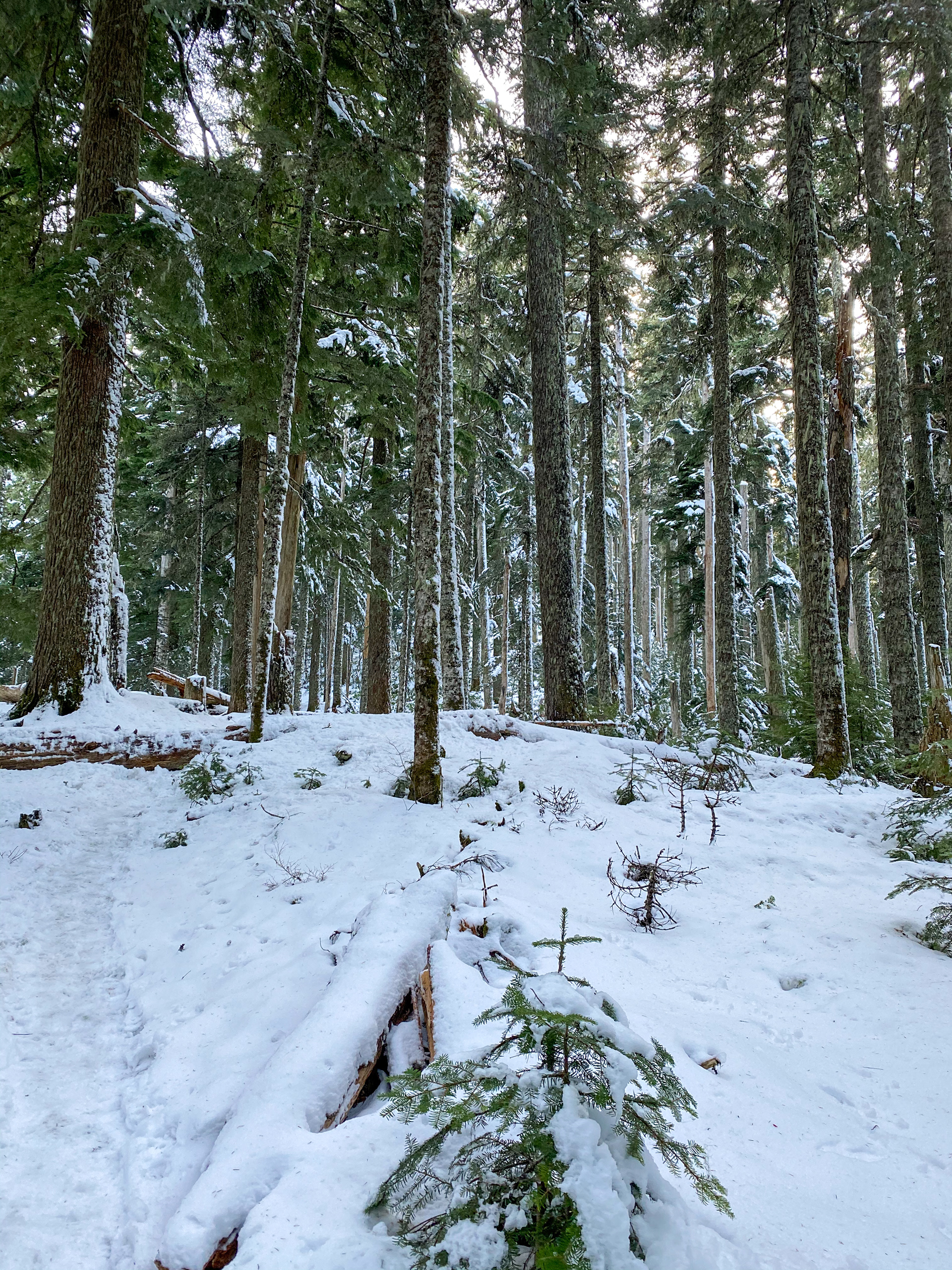

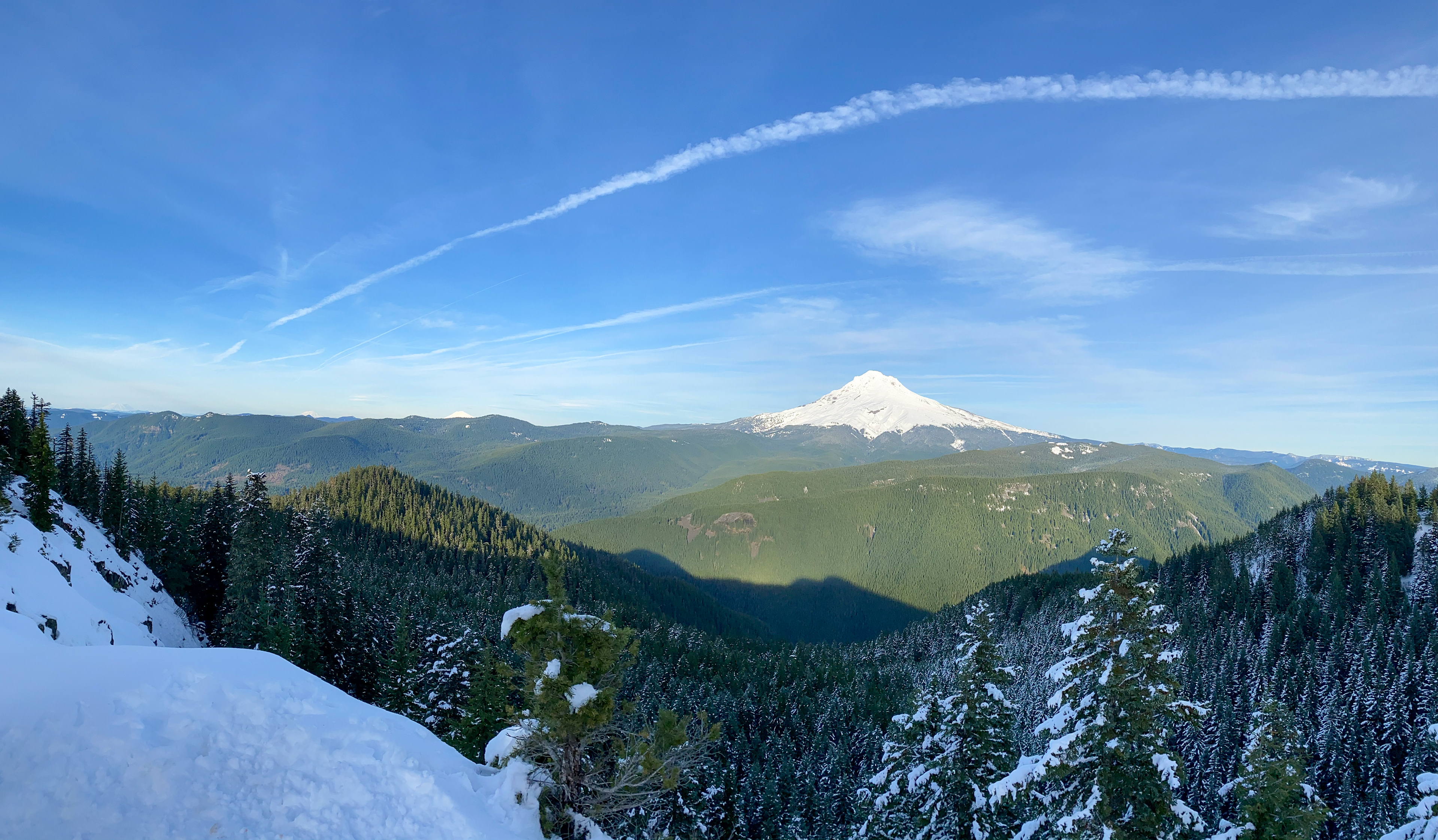
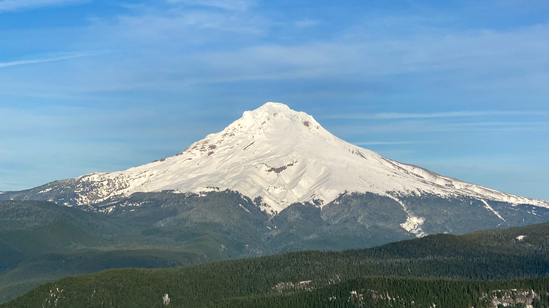
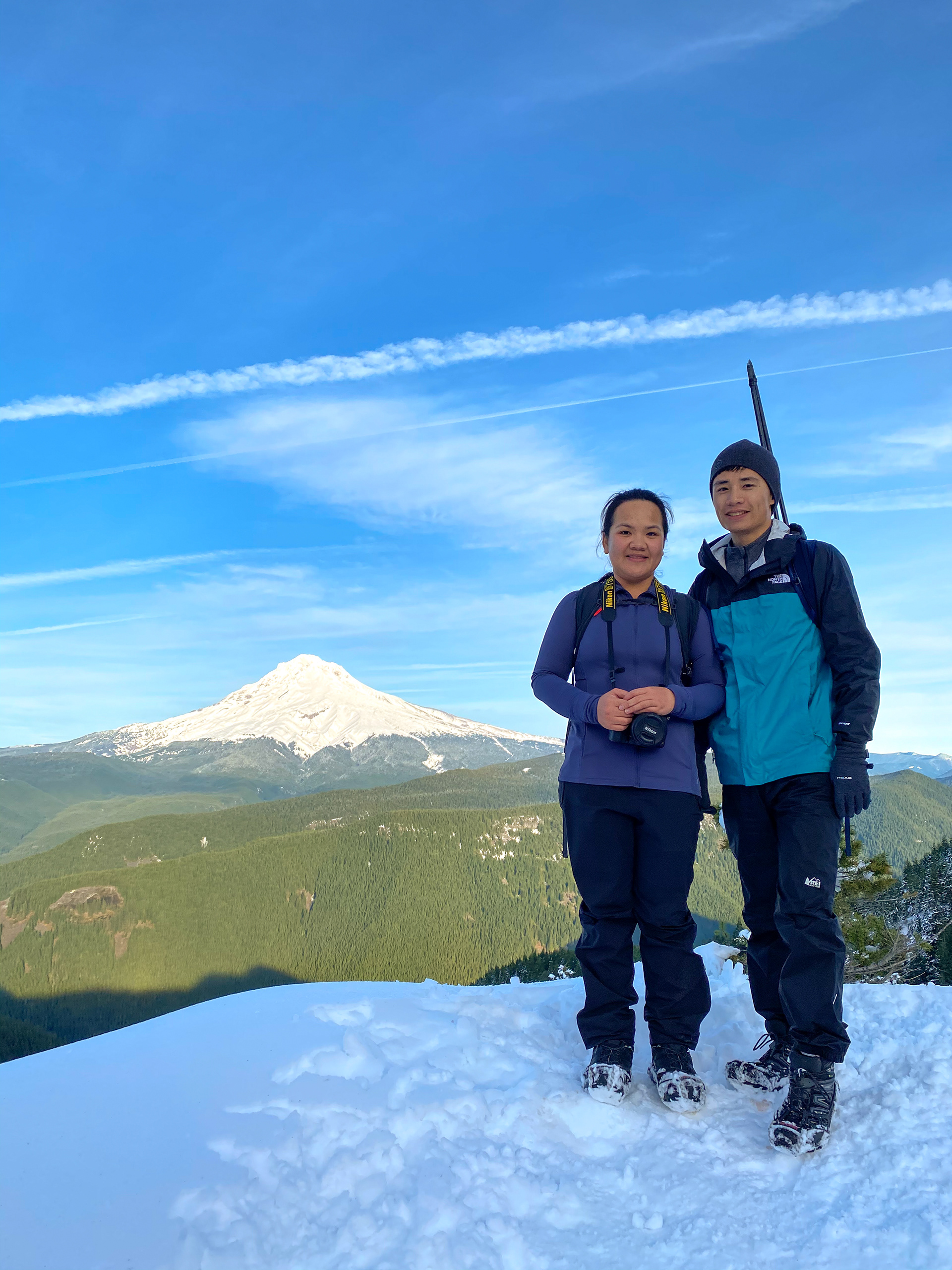
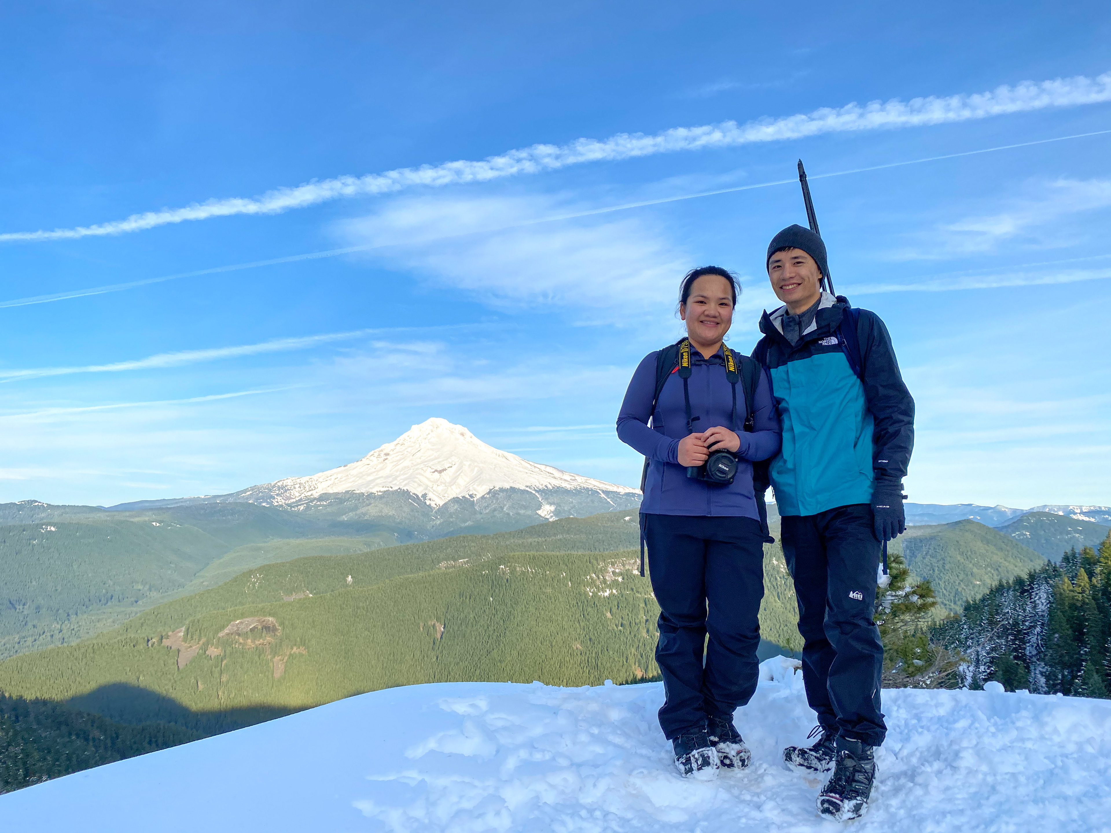
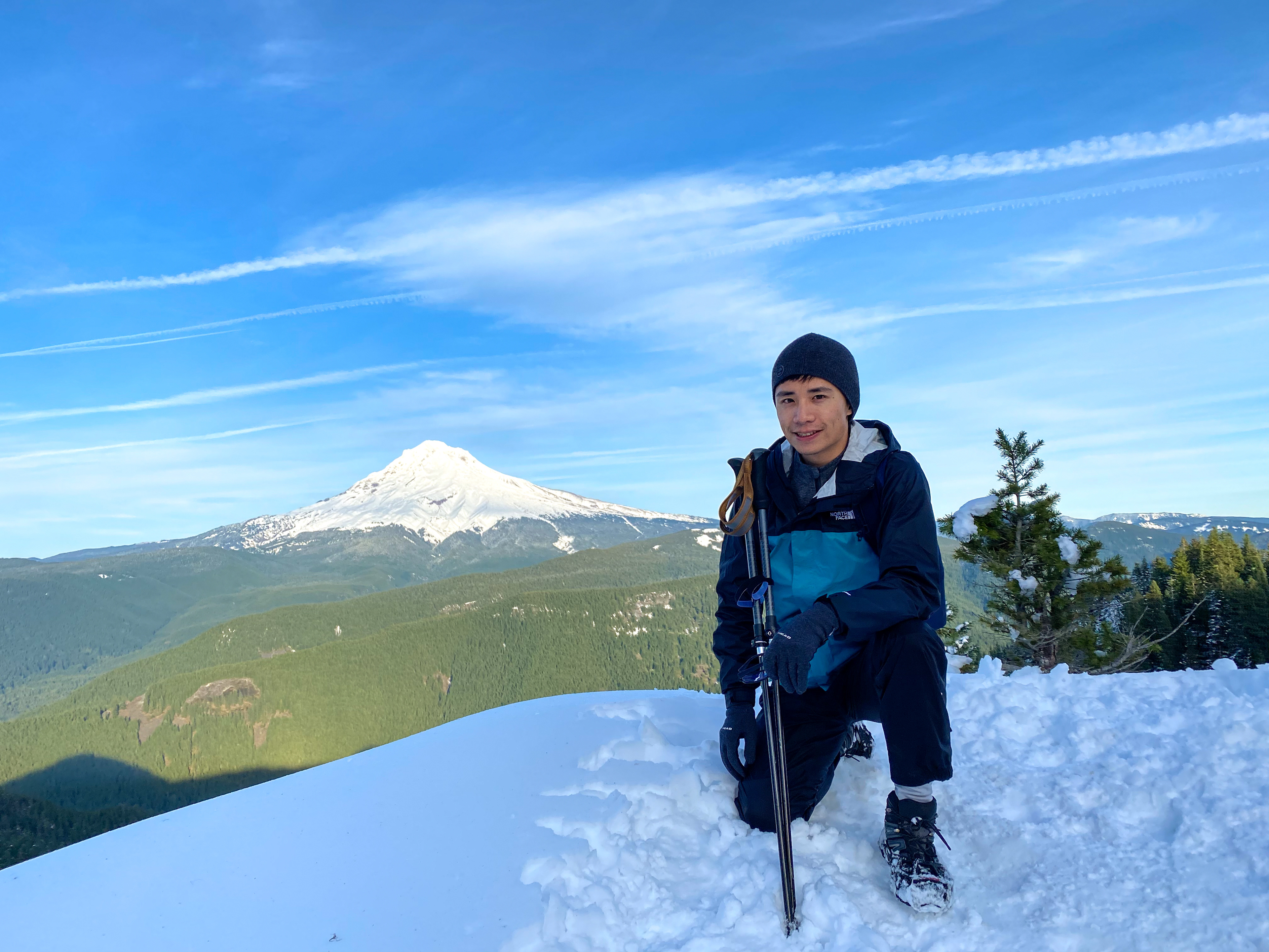
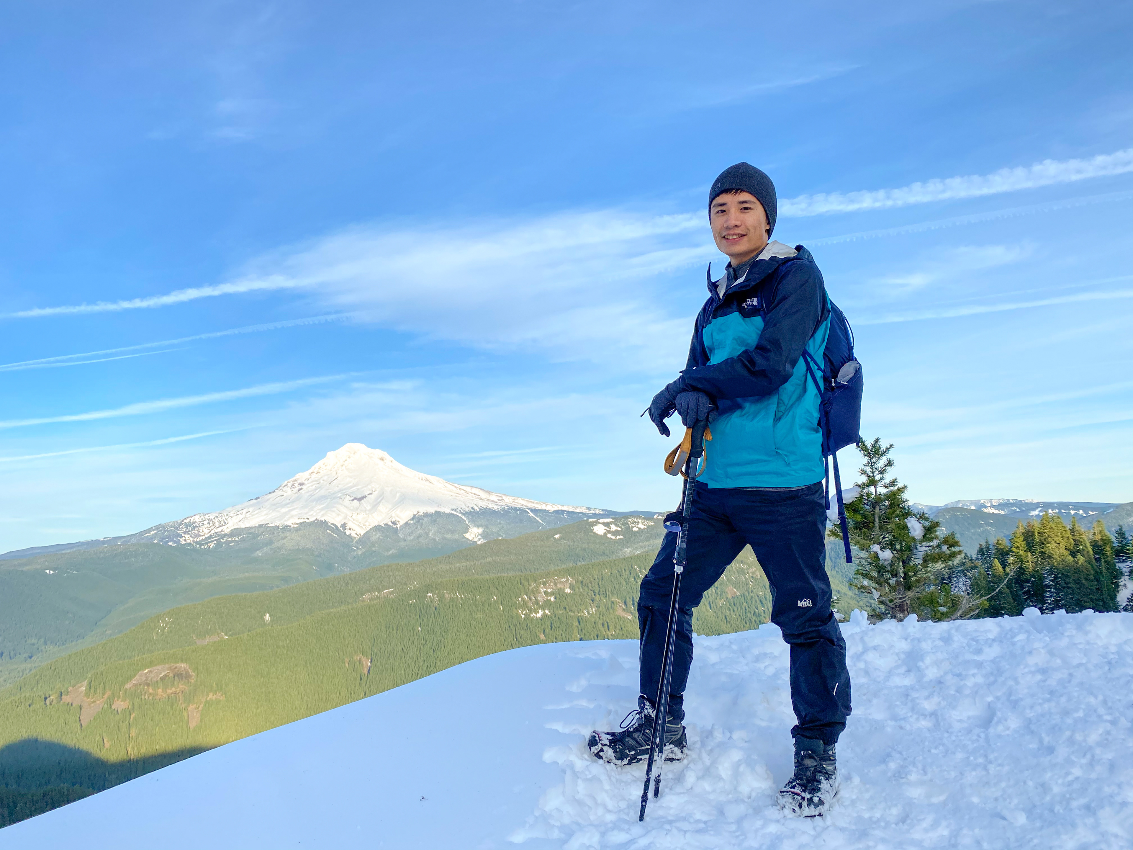


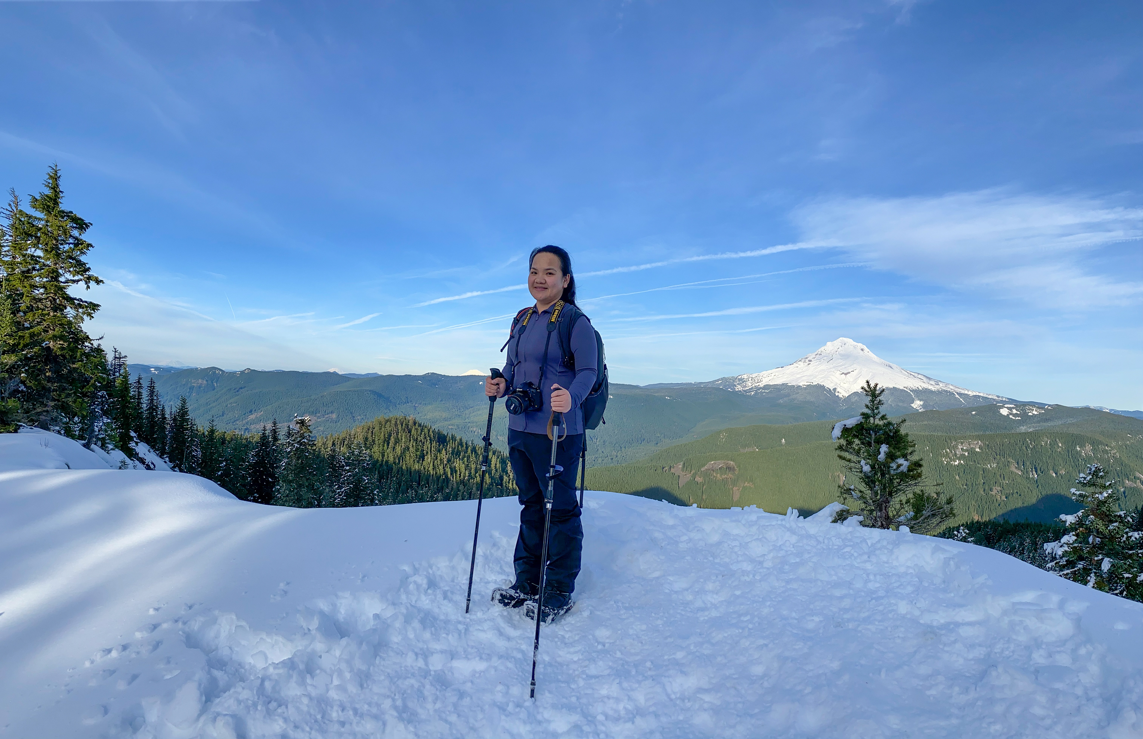
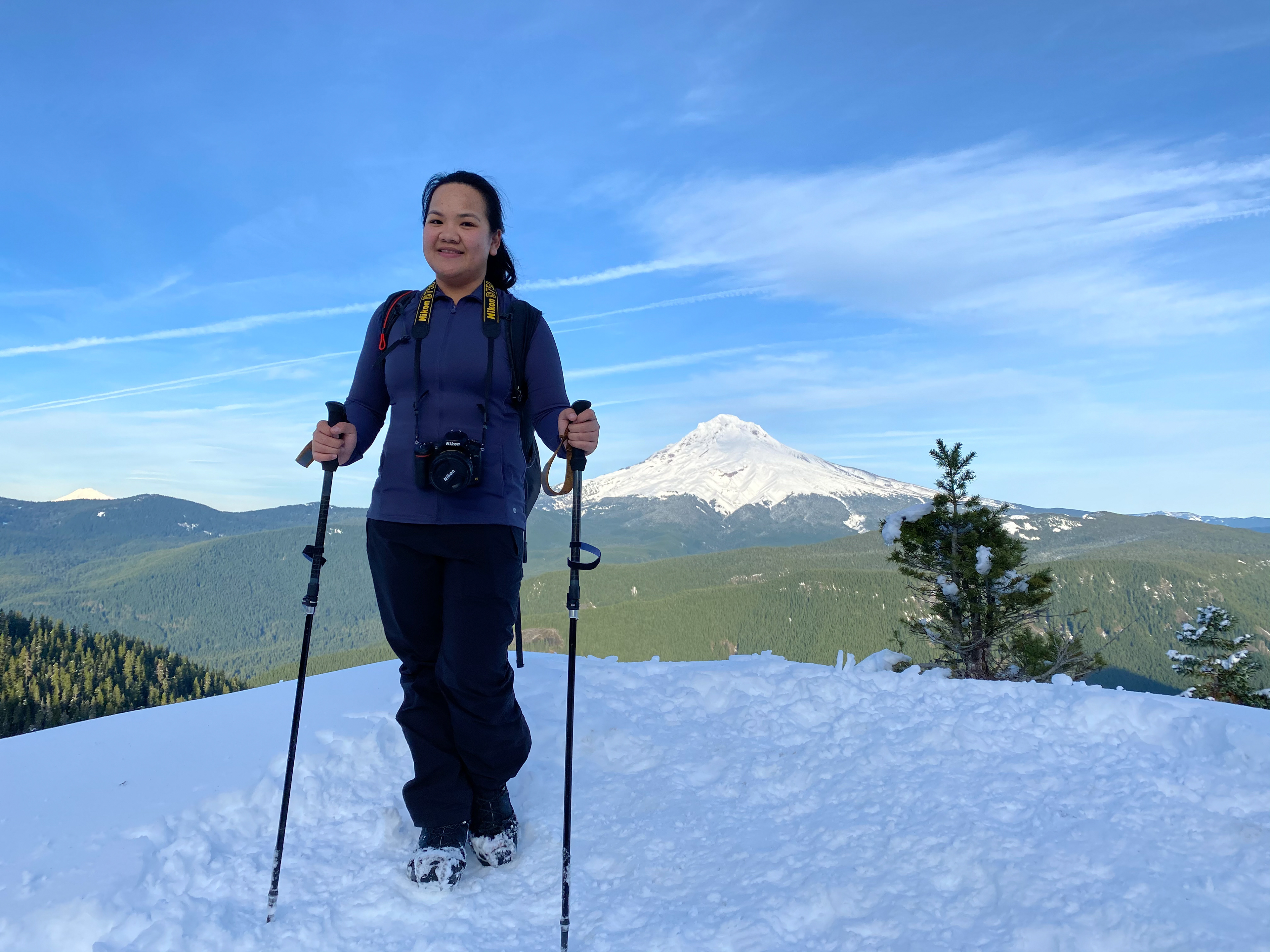
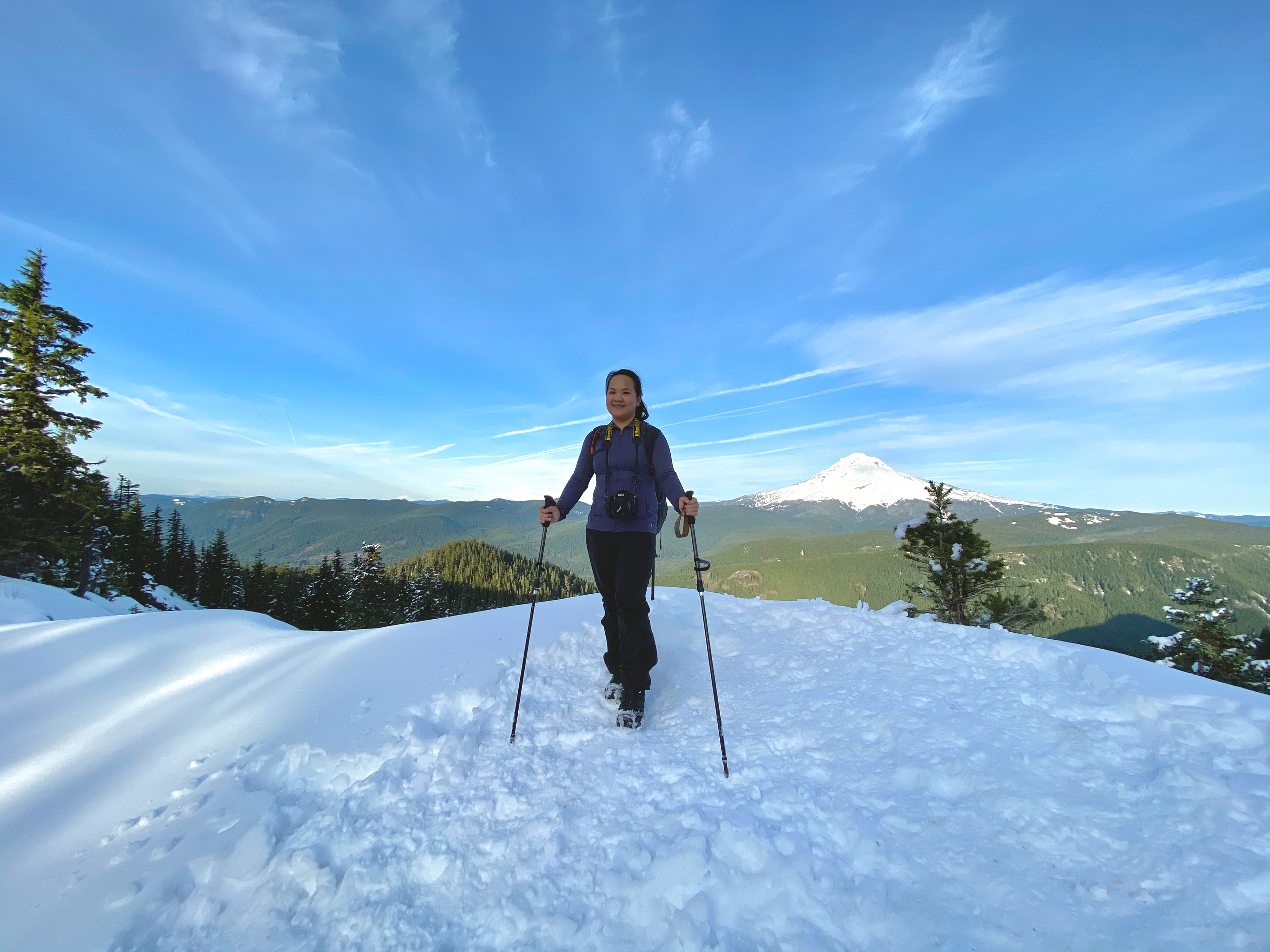

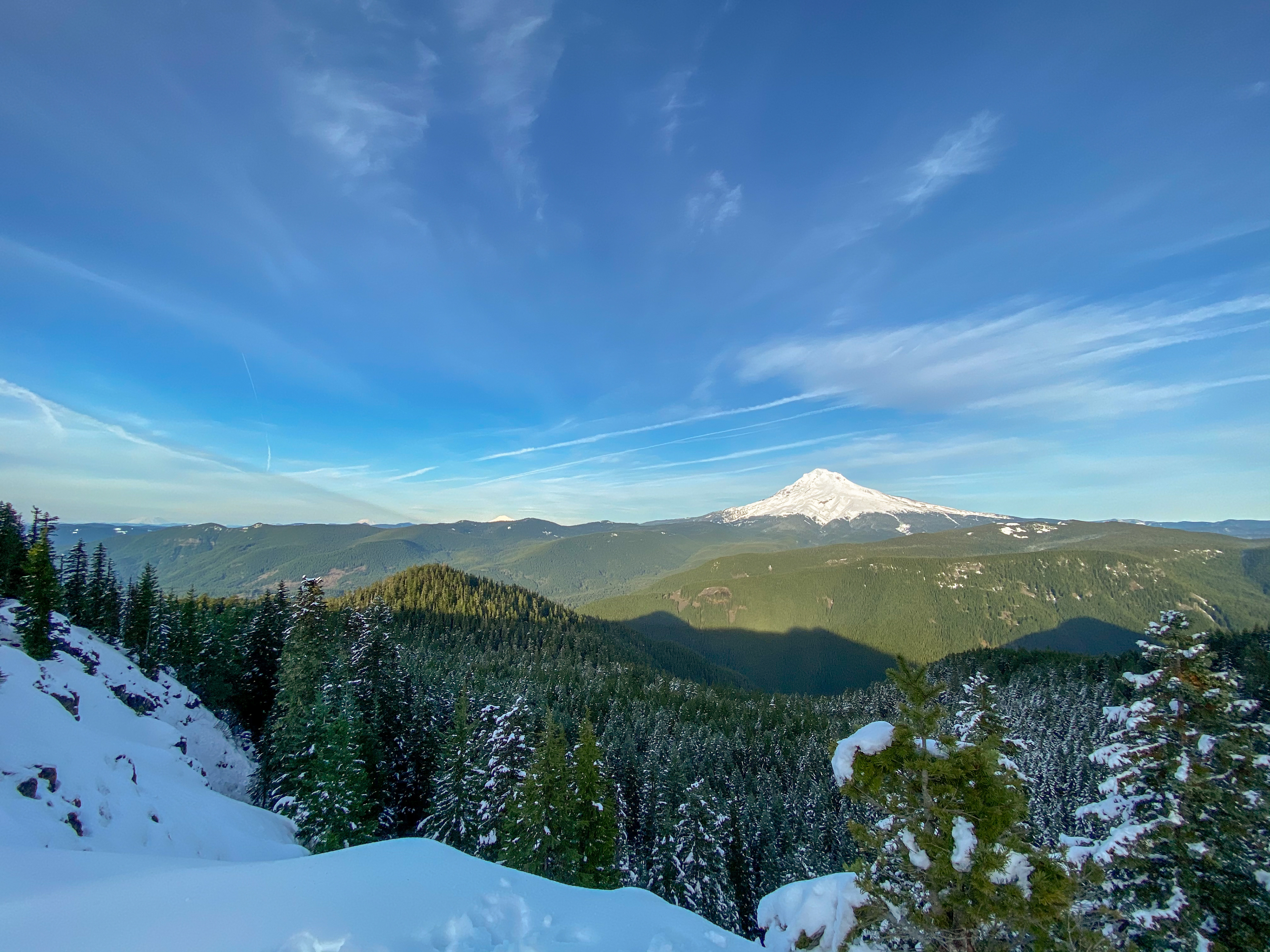
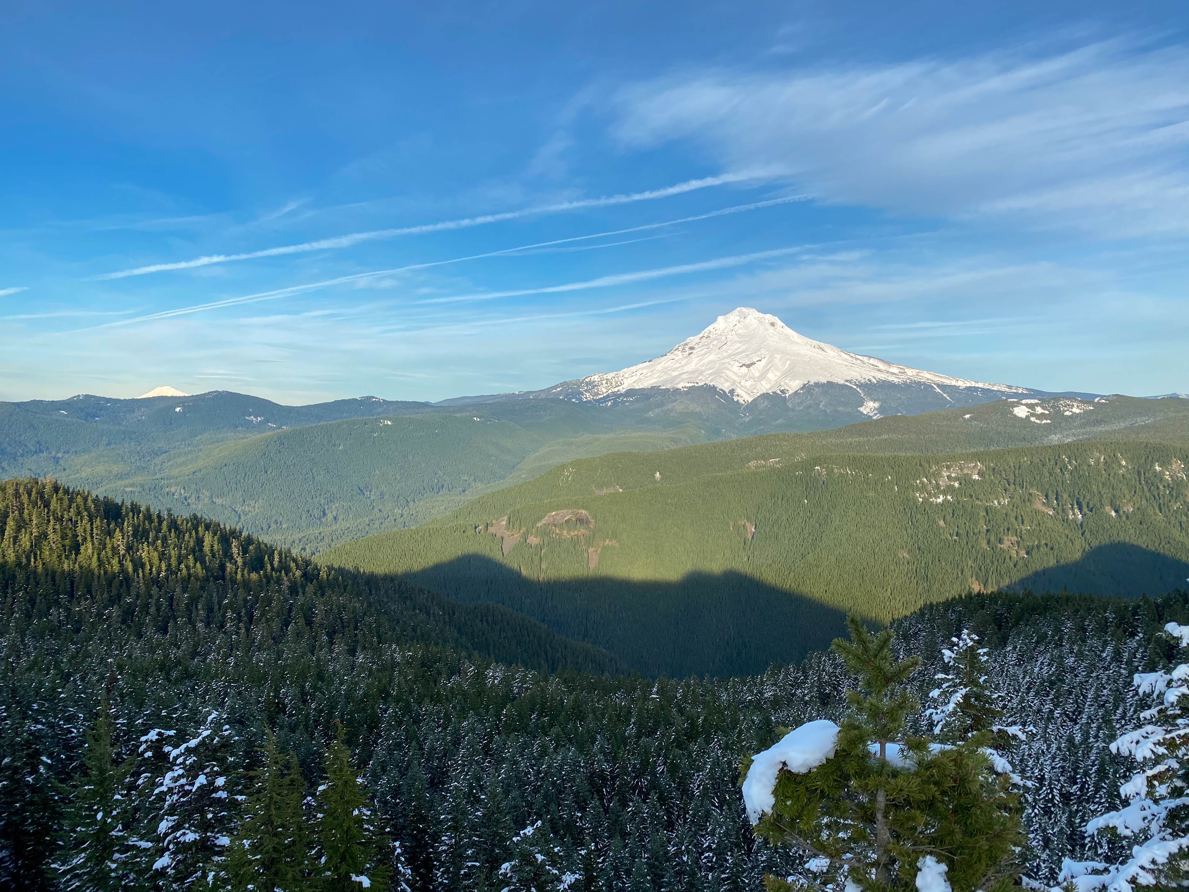


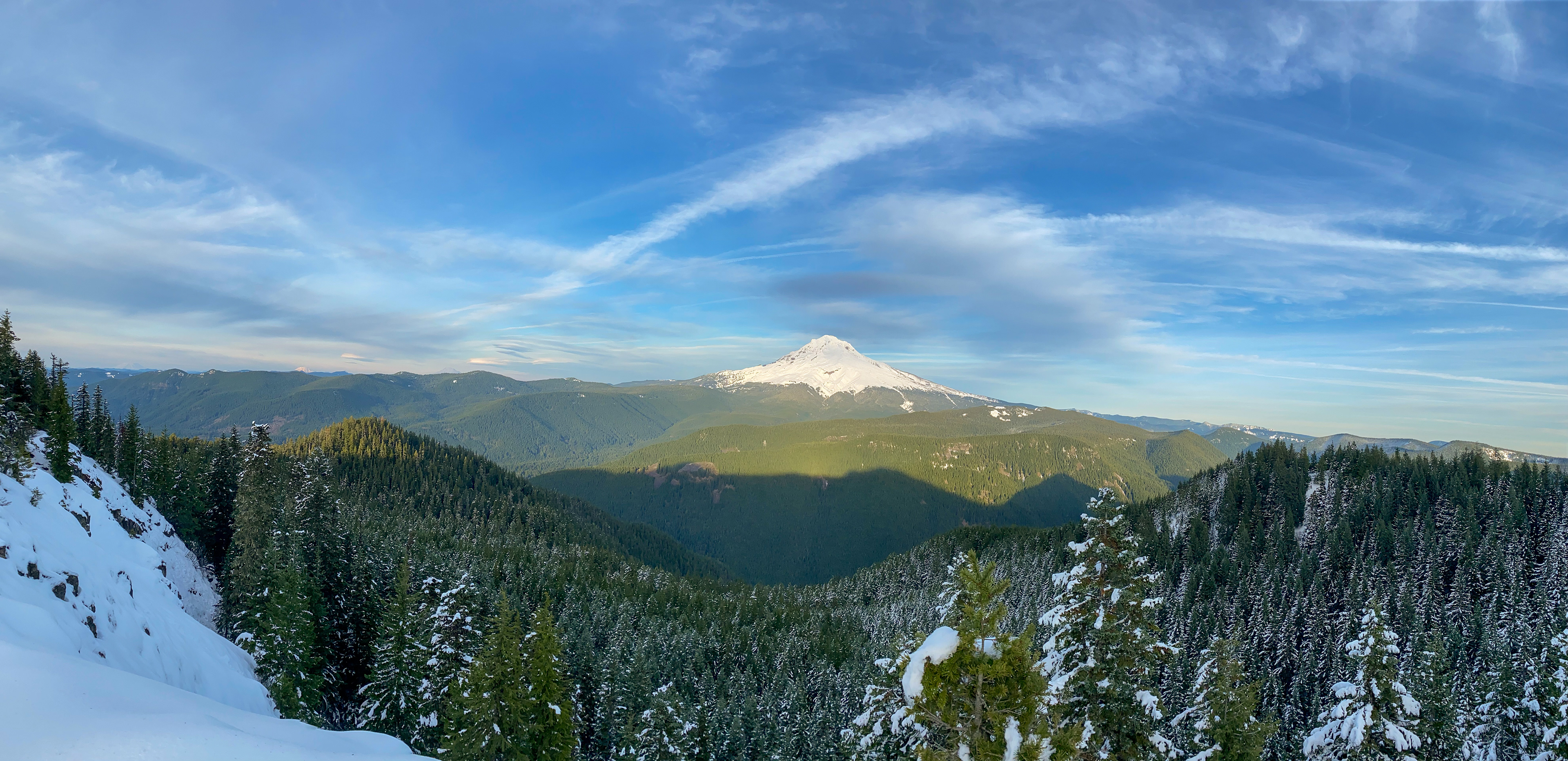
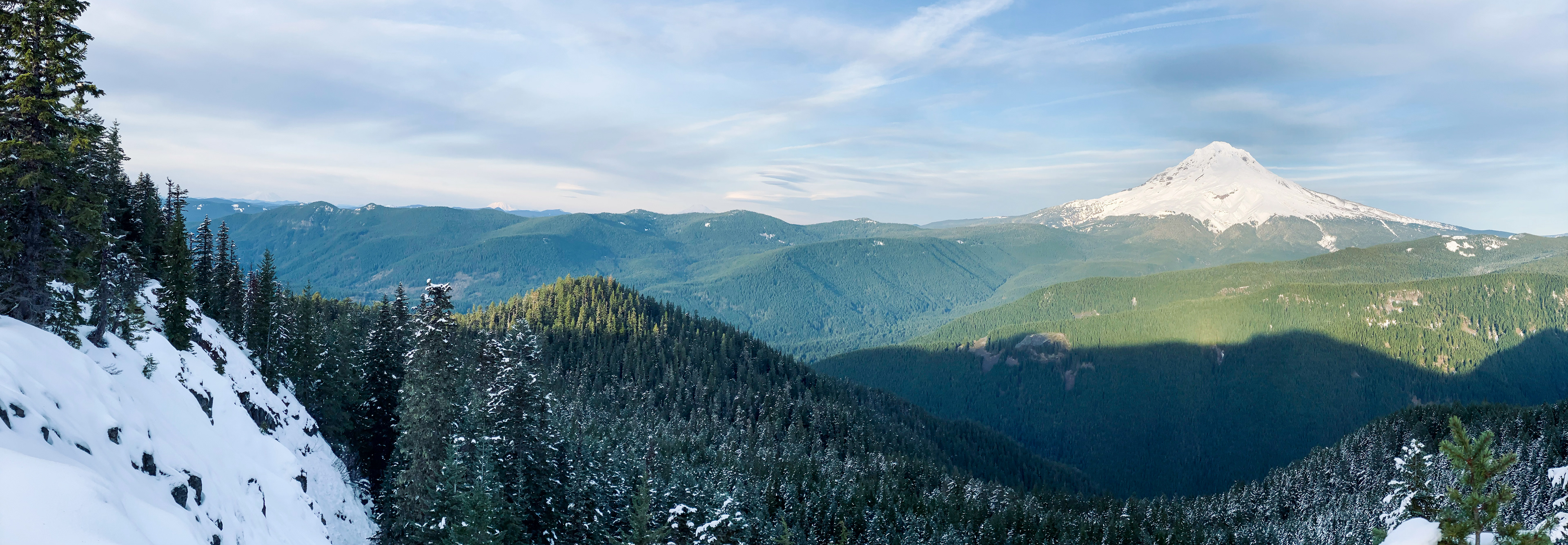


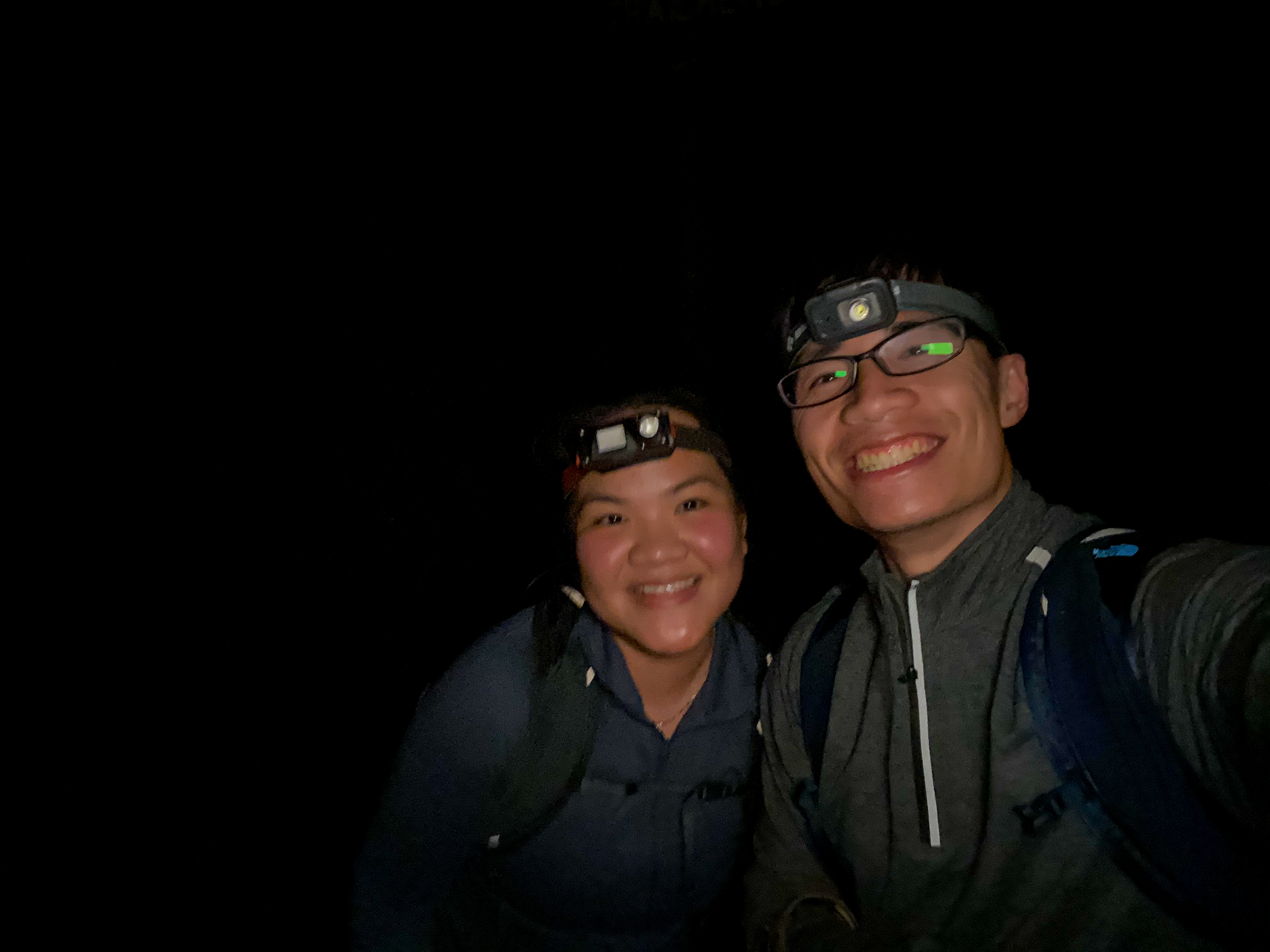
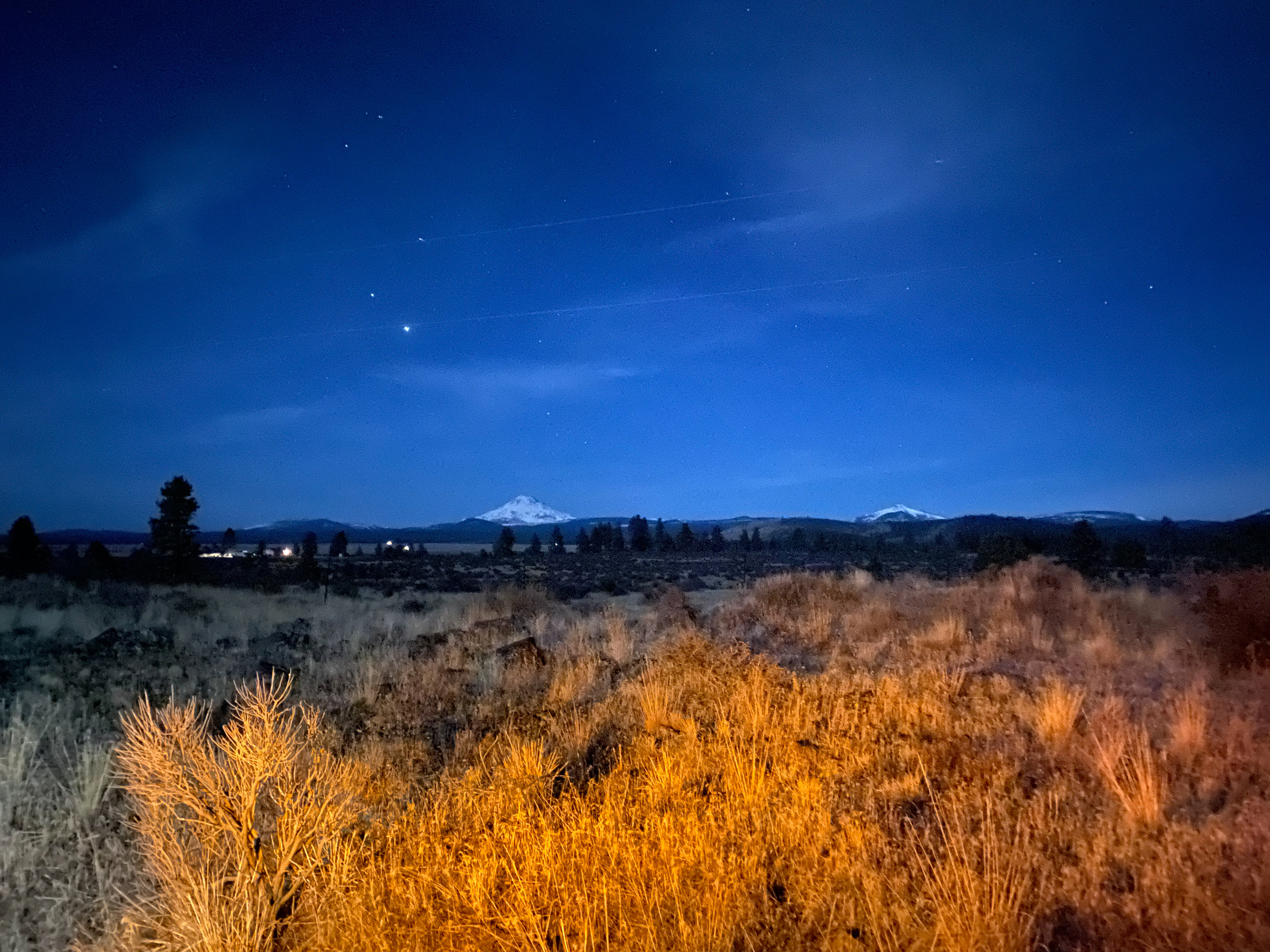
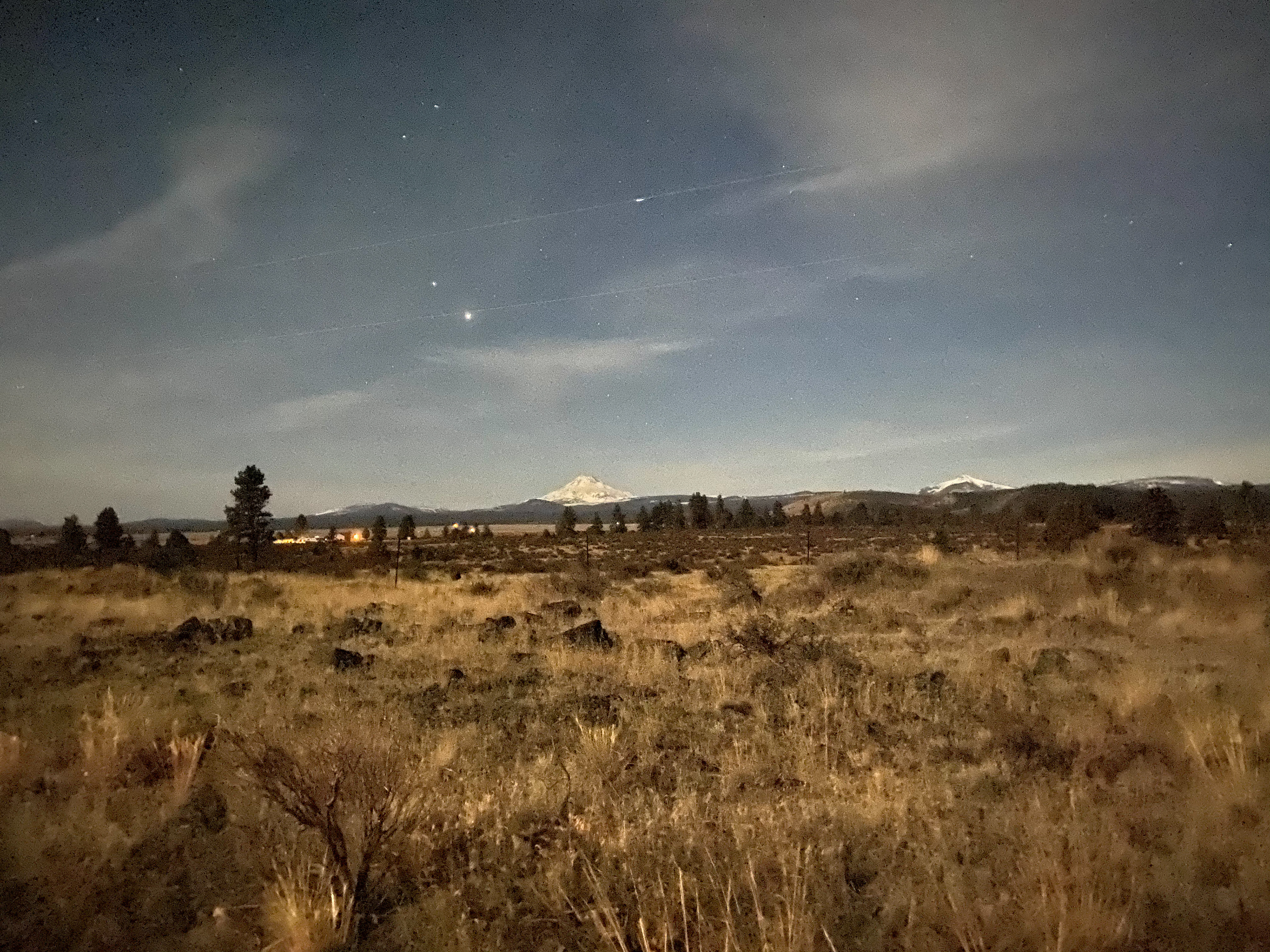

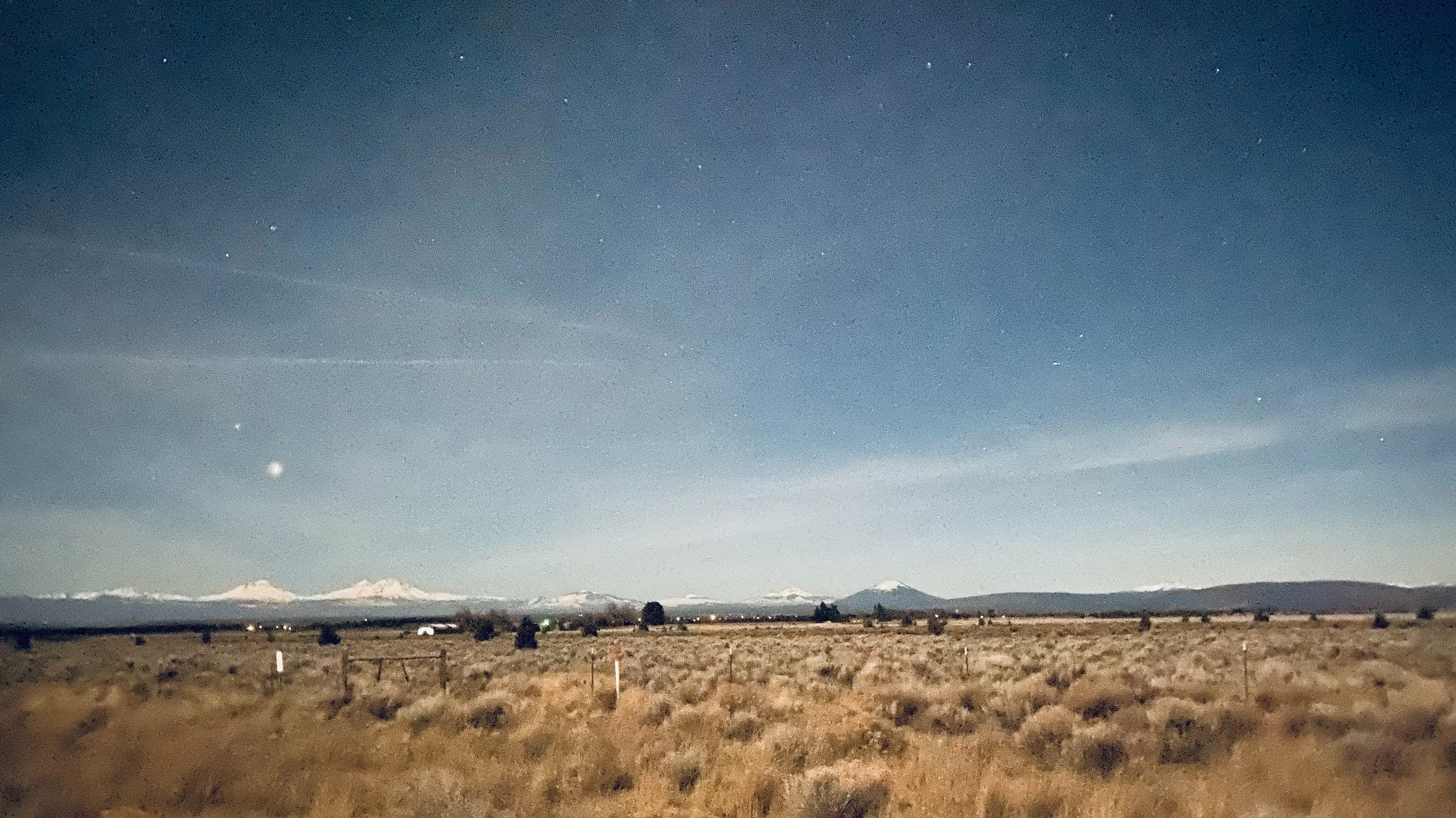

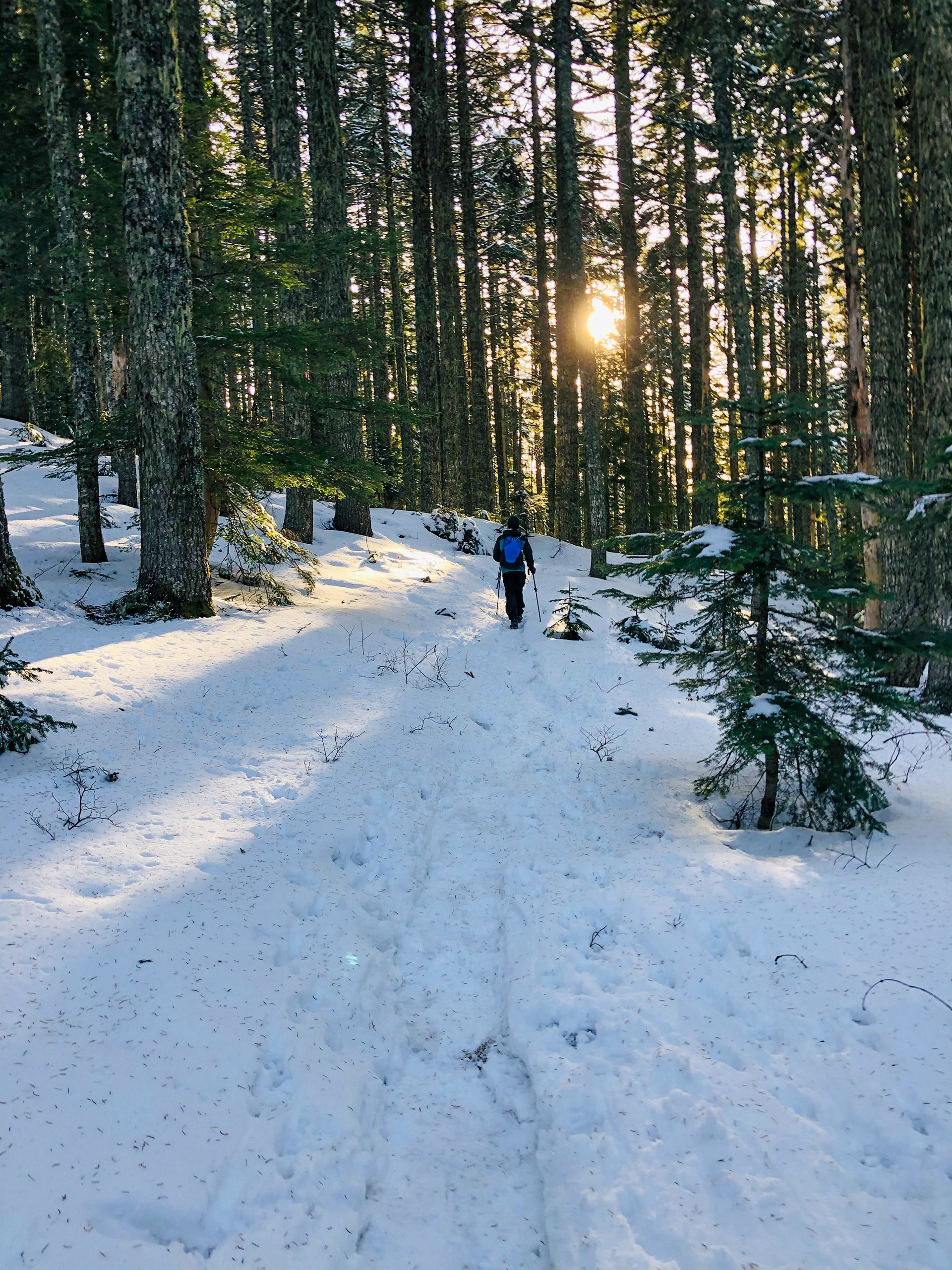

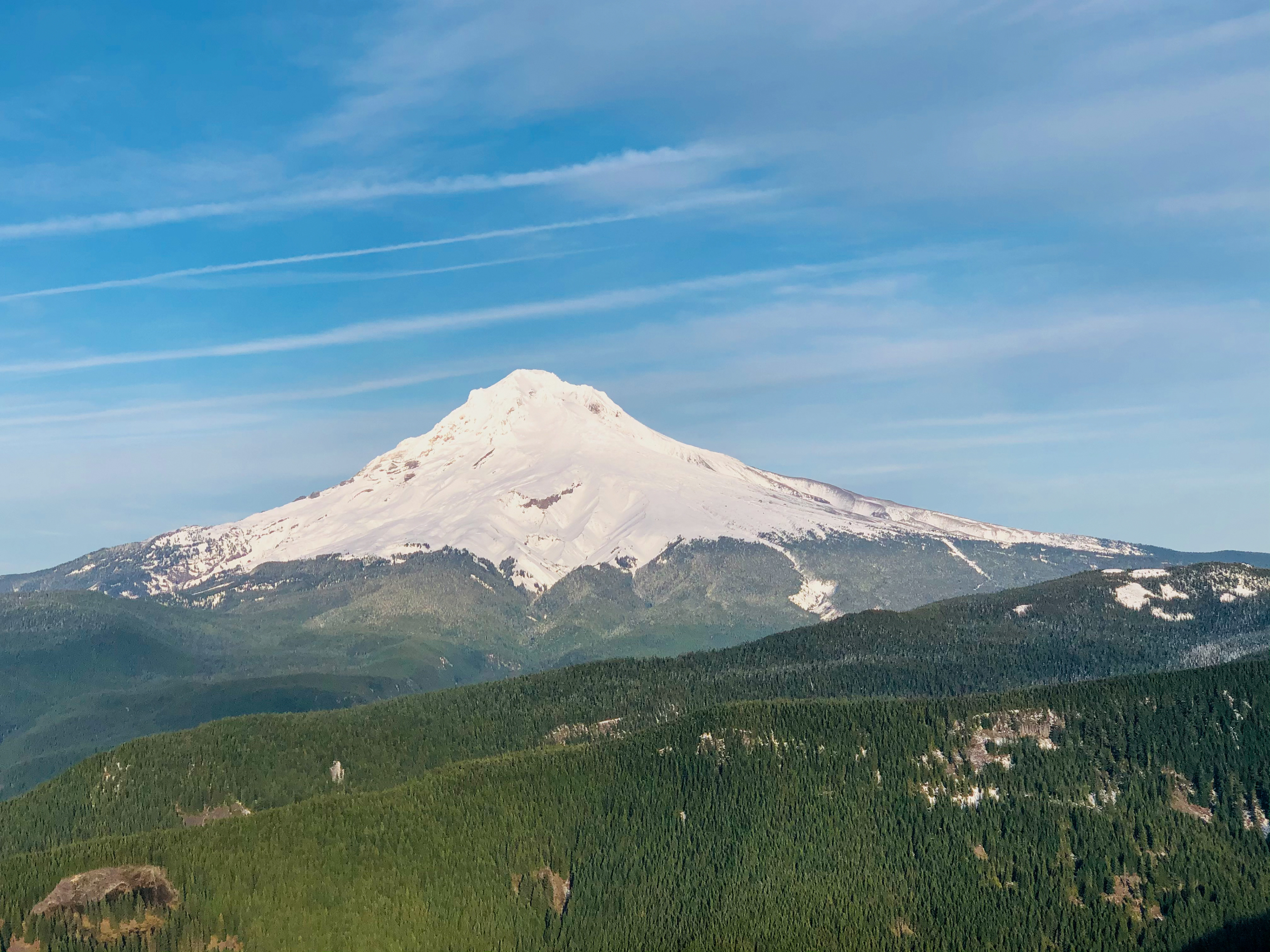
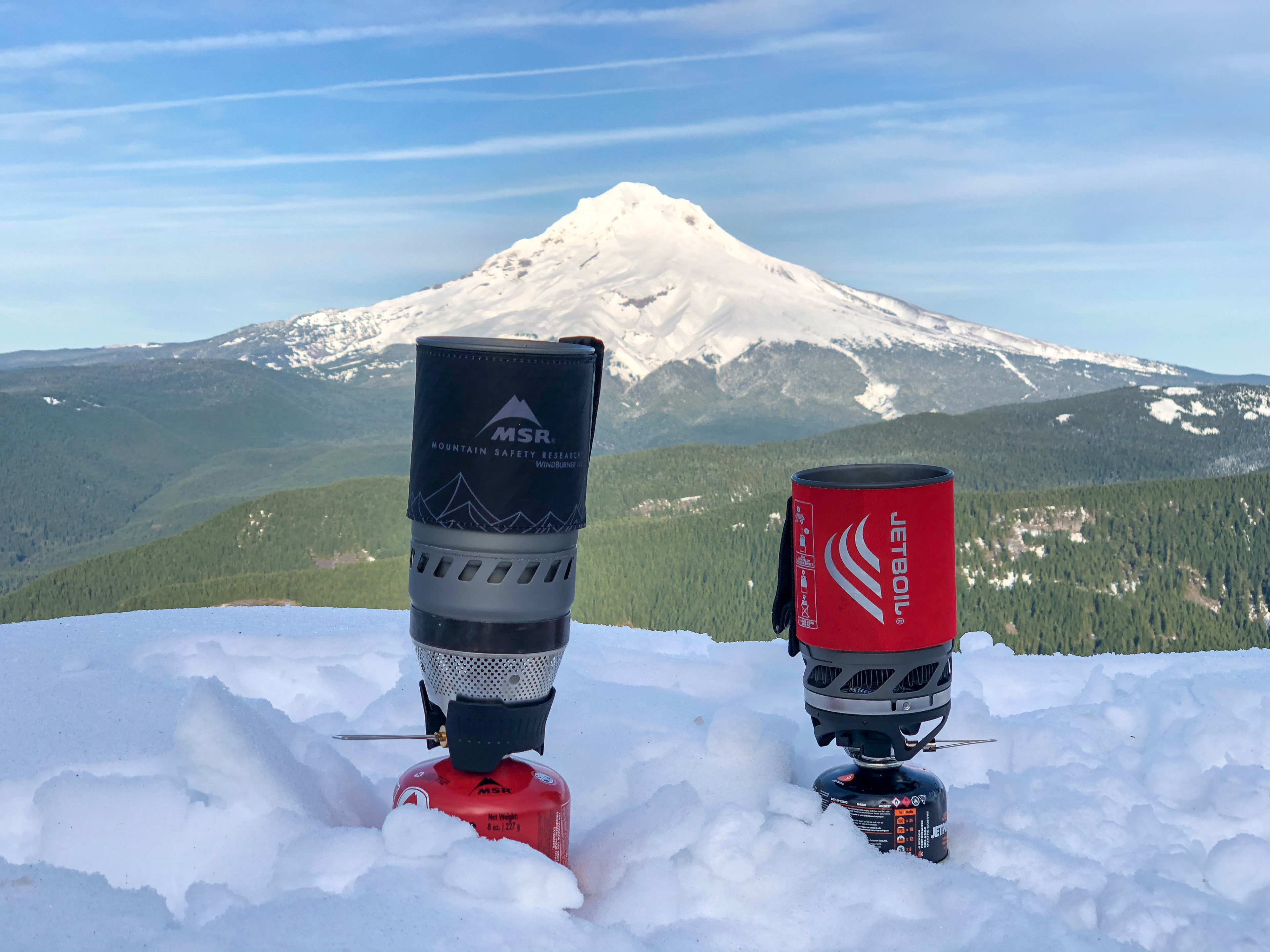

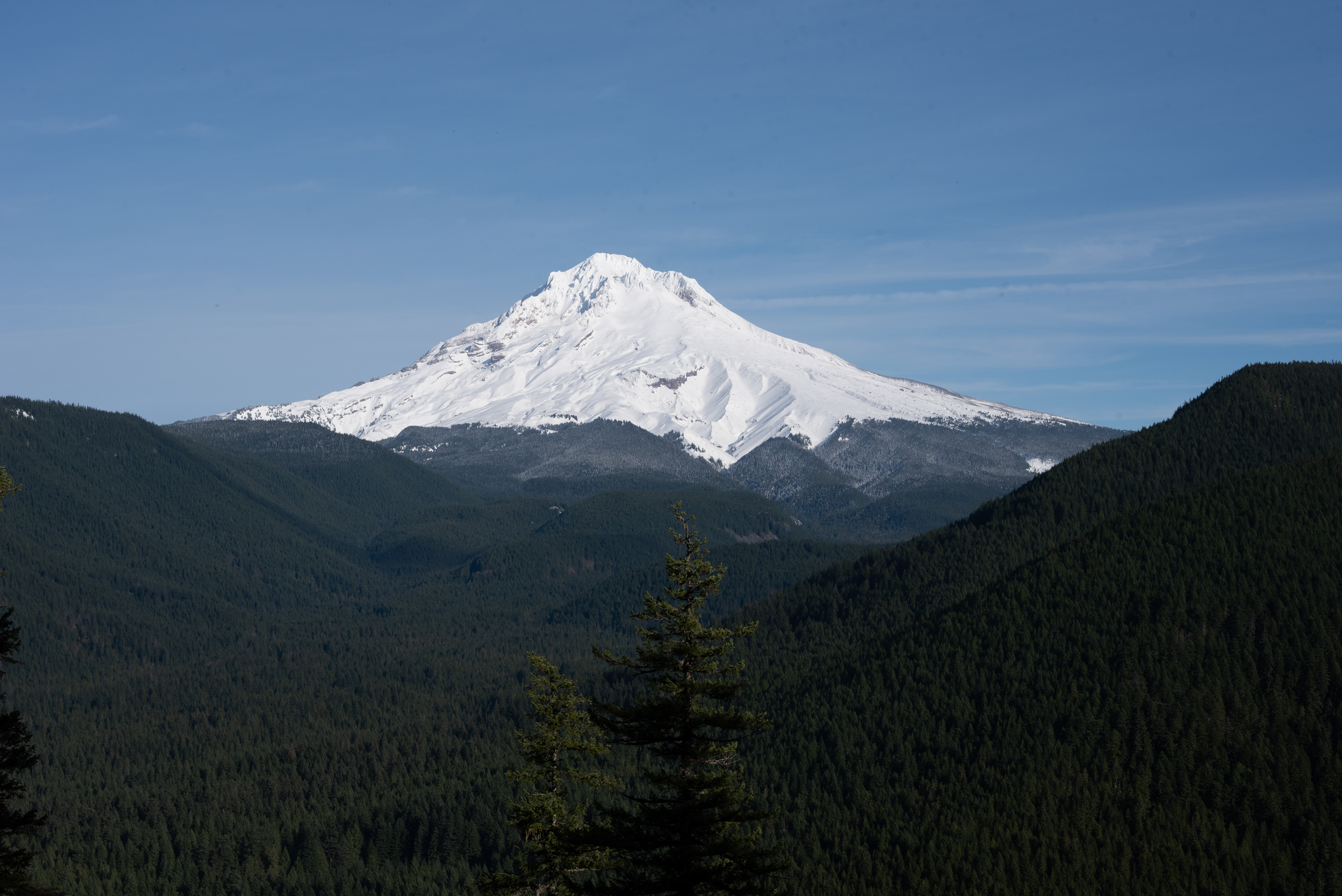
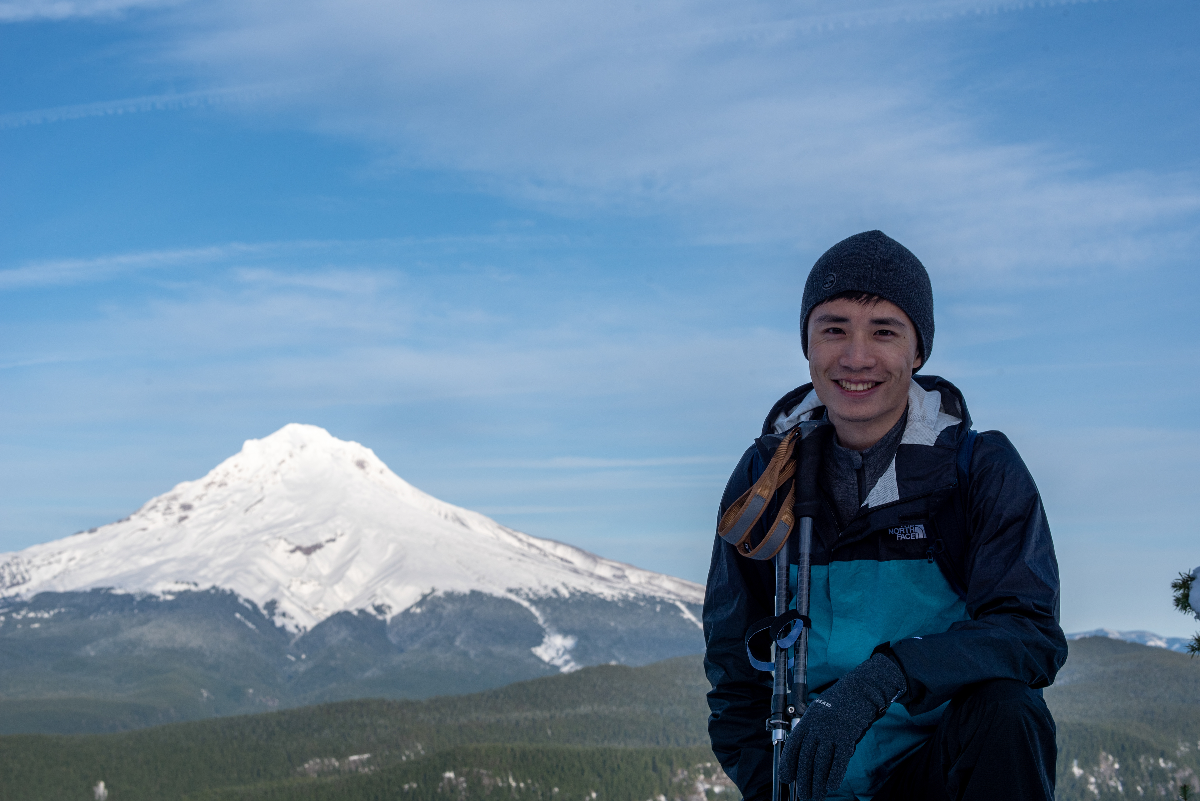


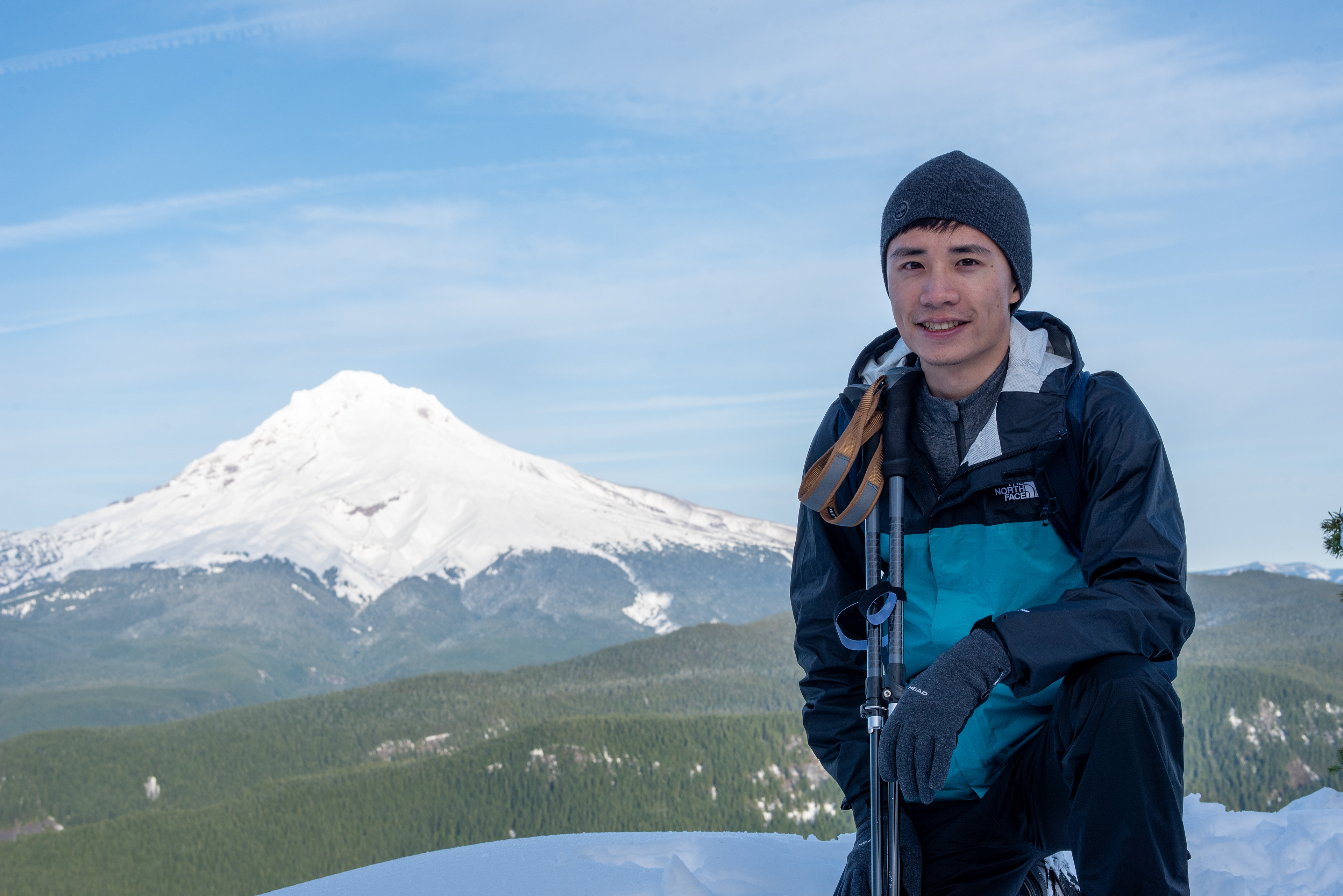

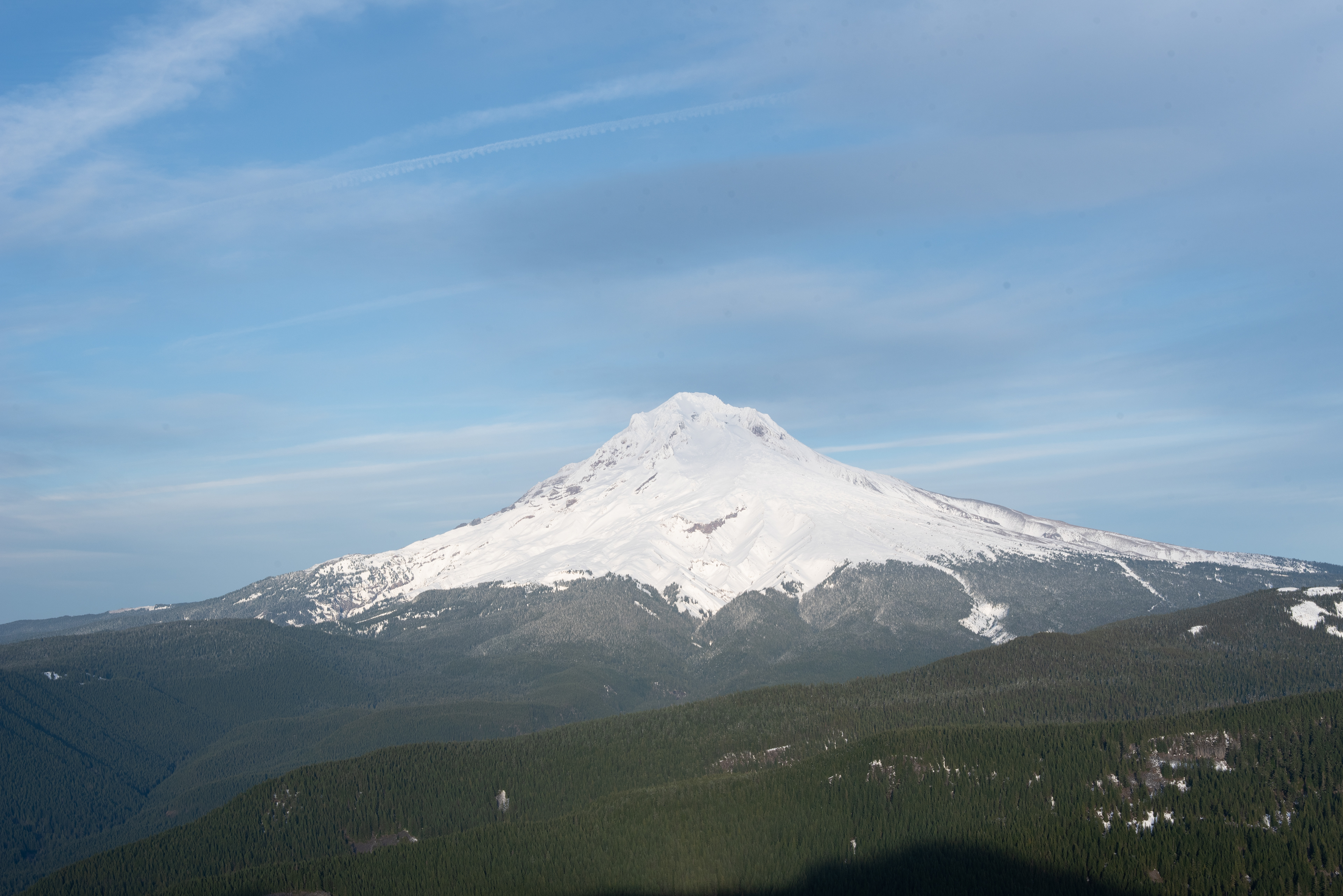
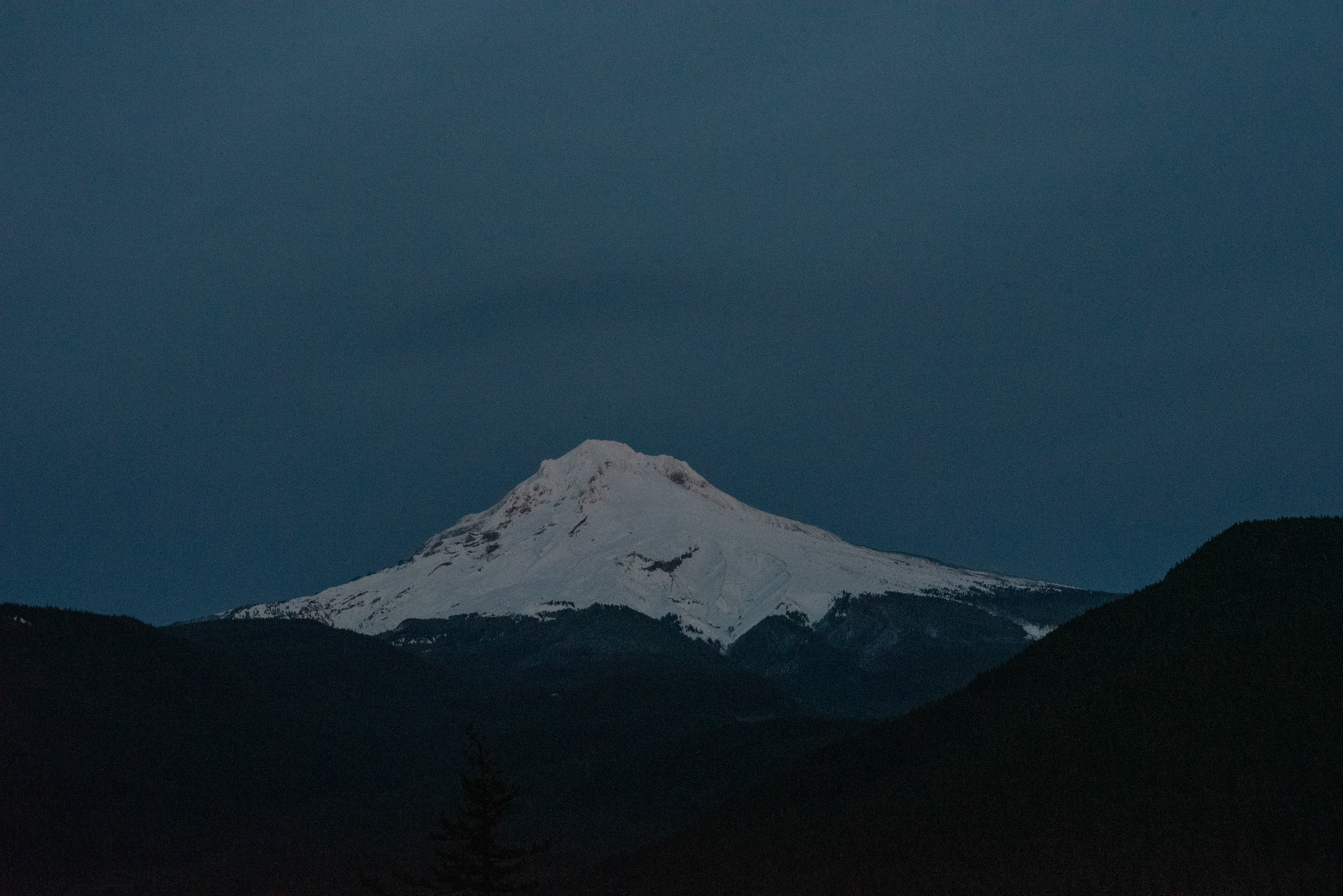
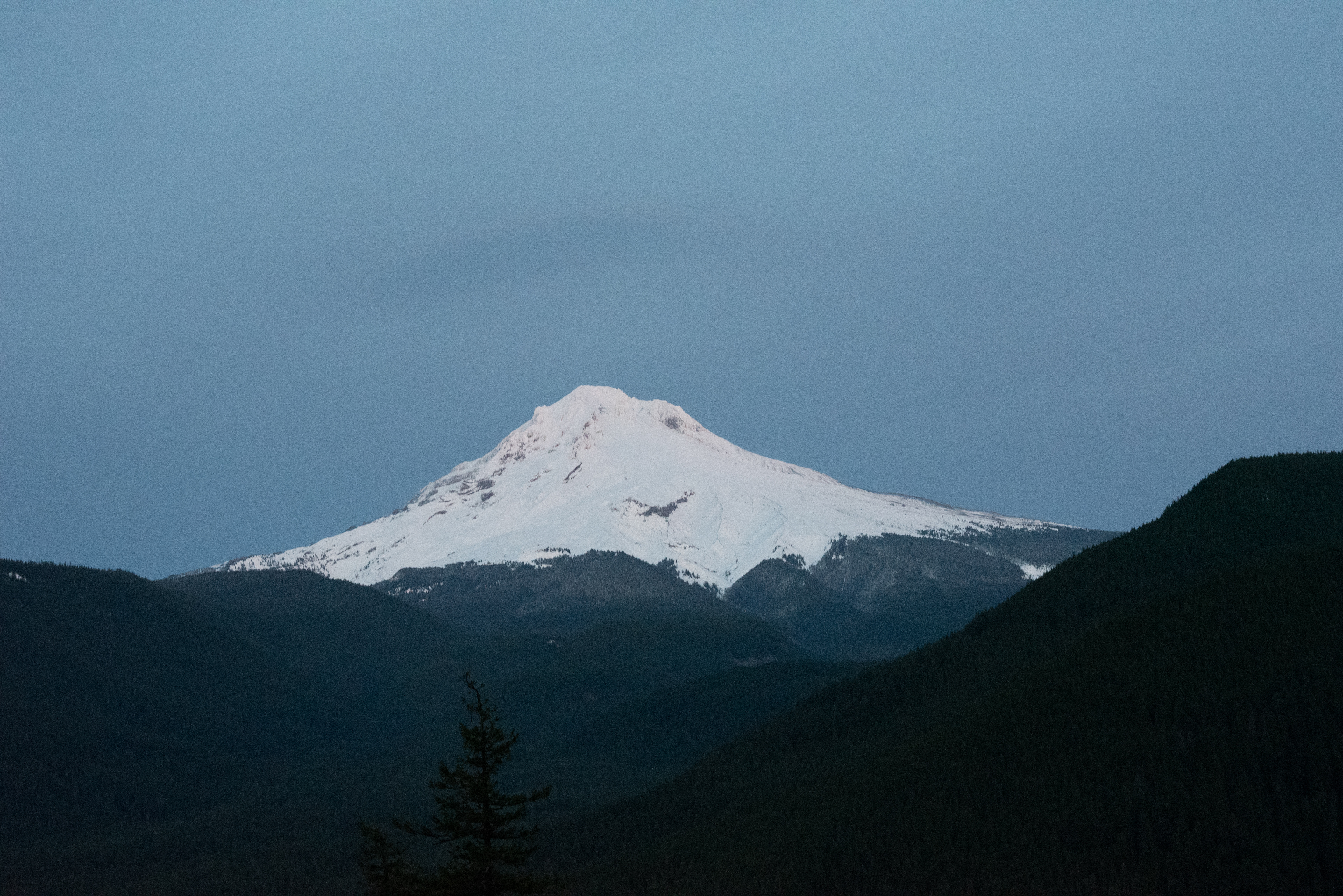
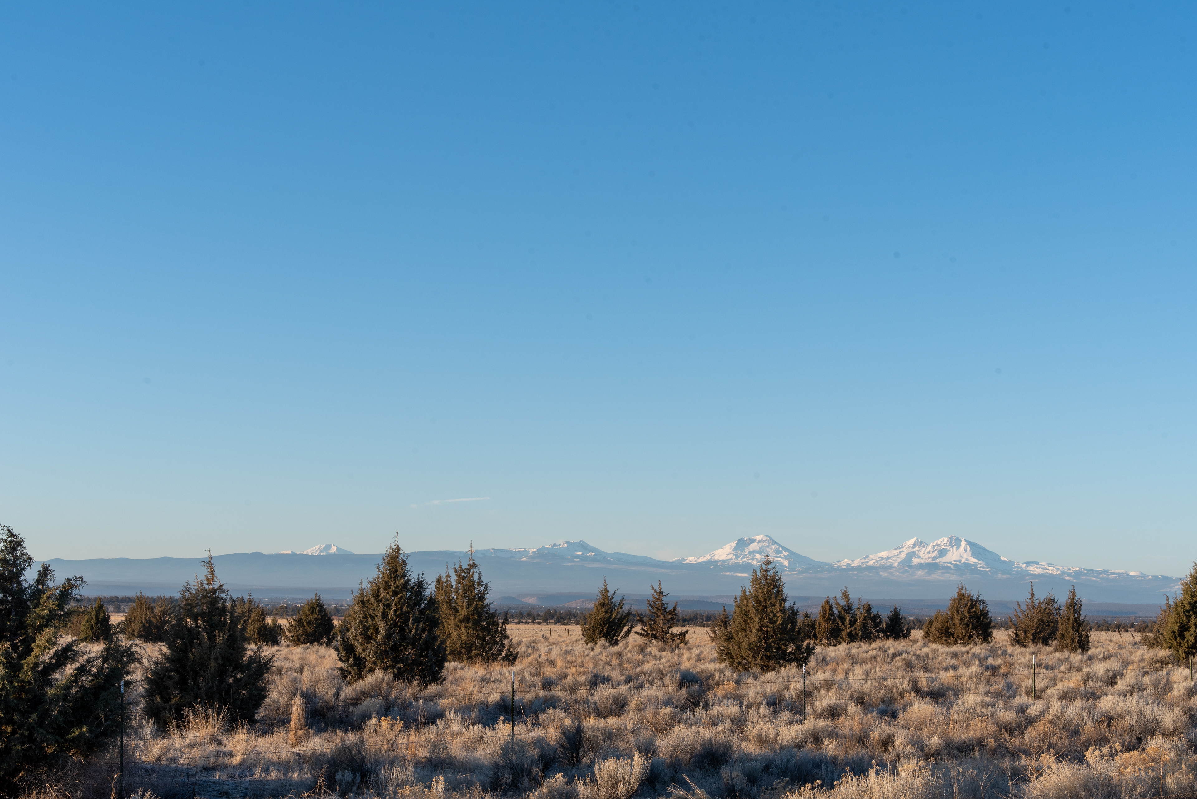

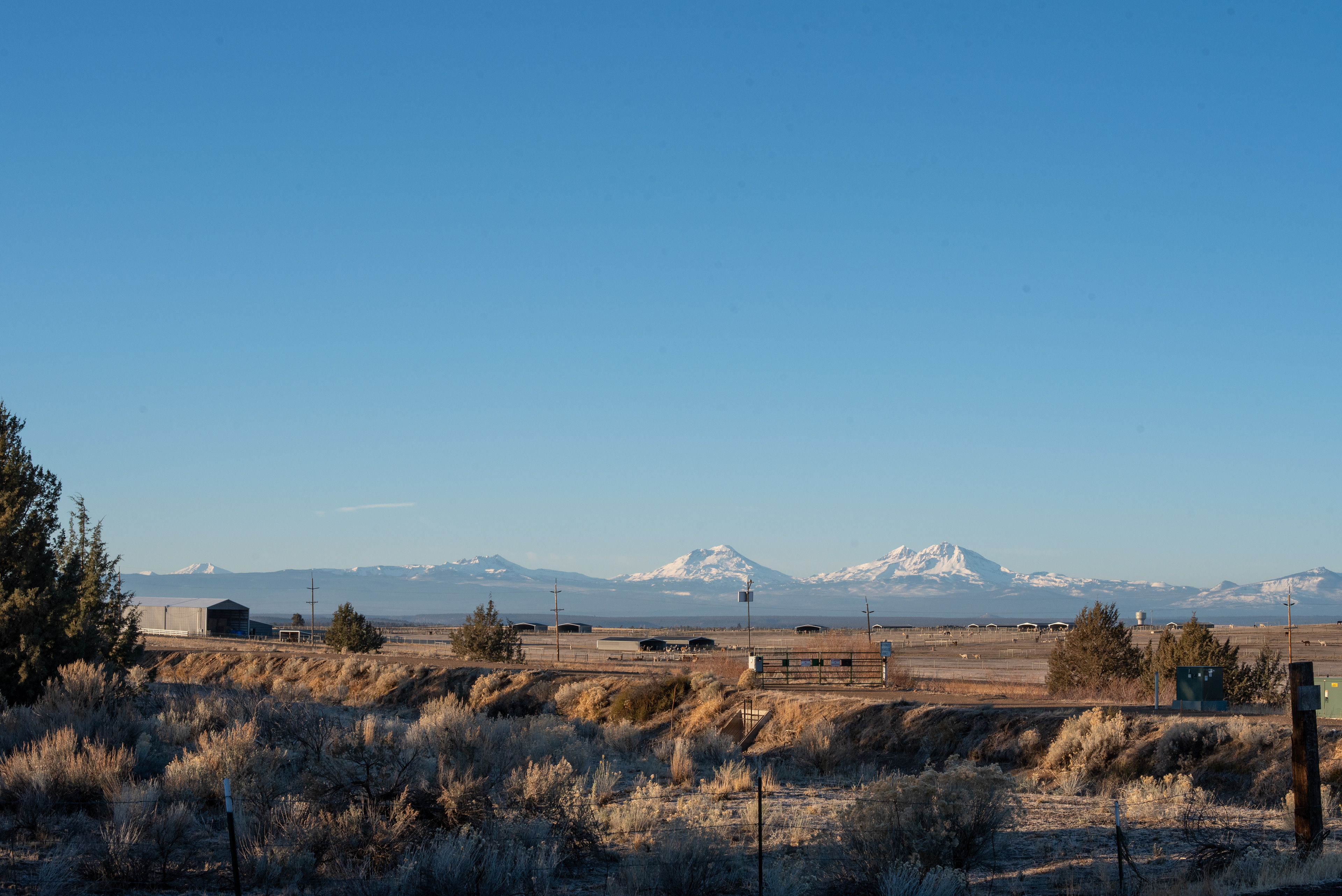
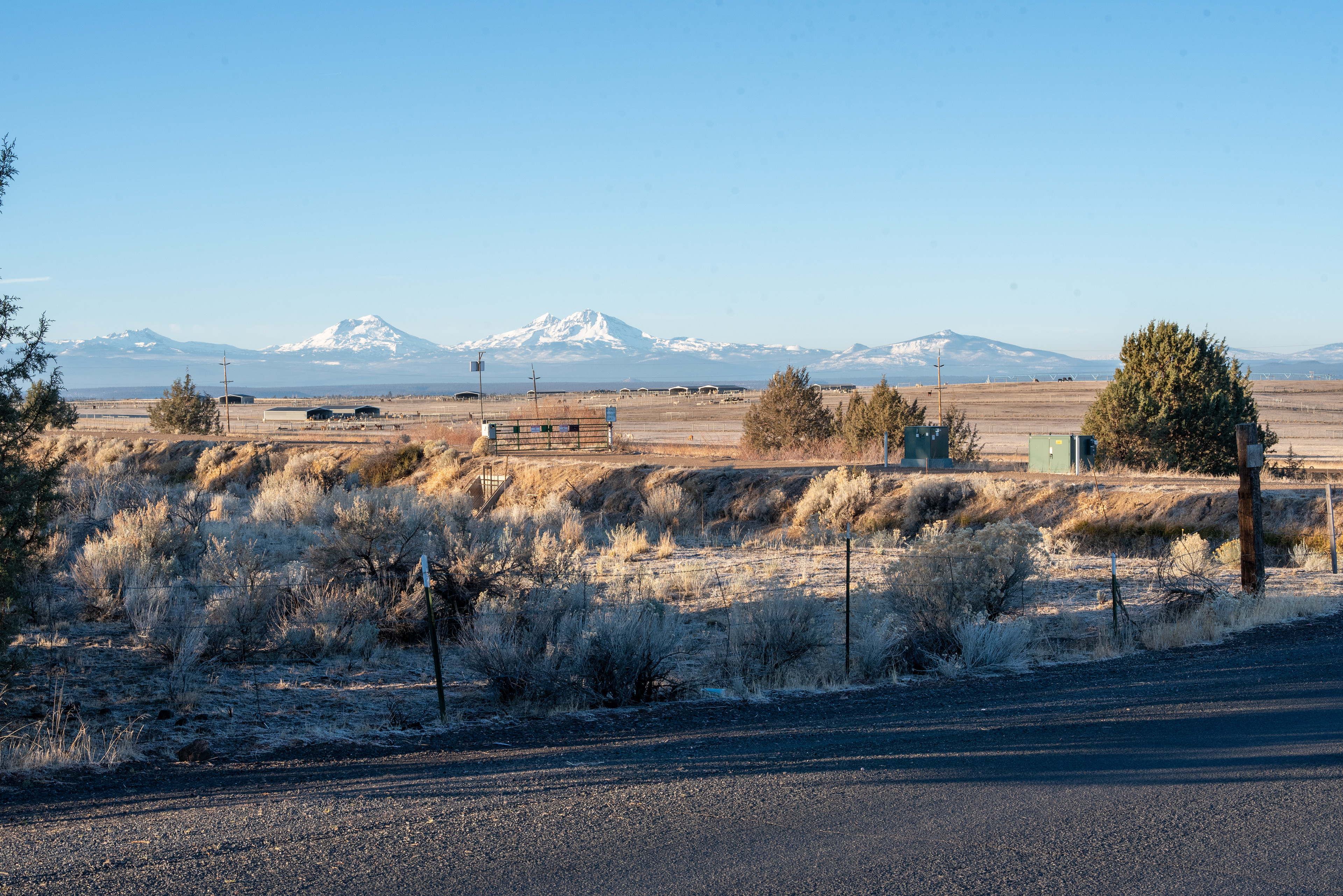


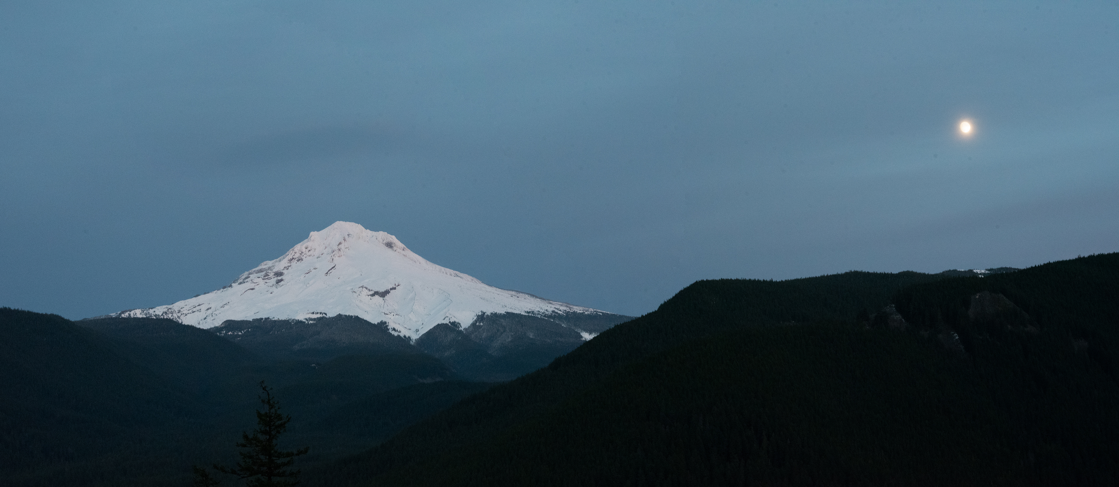

“Cool Creek Trail locates in the Salmon-Huckleberry Wilderness, which lies within the Mount Hood National Forest. The trail provides access to Devil’s Peak Lookout and Hunchback Ridge. The trail is primarily forested with a few breaks allowing views of Mt Hood, particularly near the southern end of the trail. It begins at Still Creek Road (Forest Road 2612) and ends 3 miles later at its junction with Hunchback Trail #793. The first two miles of the trail climb steeply and steadily while the last mile becomes moderate.” [4Feet]: Mount Hood National Forest locates 191 miles in the south of Tacoma, and it usually takes a good 3-hr drive without a traffic jam. We arrived at the trailhead around noon on Friday. The mountain temperature was barely above 37-degree Fahrenheit, which kept the cloud at a lower level and enriched the humidity for all ground-level vegetation. The Cool Creek Trail was not famous in Salmon-Huckleberry Wilderness, and there was no designed parking place for hikers. We parked on the side of the road next to the Sill Creek and started our very first hike in Oregon. Our ascent to the top was alongside the Cool Creek (which merged into the Still Creek). The whole trail was hidden amongst pine’s shadow especially the first zig-zag incline. After the first mile of the hike, the sunlight seeped through the thickly bunched branches and leaves of winter pine trees. The clearing beneath them riddled with chaotic patches of brilliant light and gray shadow. The light tone along the trail changed as we proceeded with our hike. After 1.5 miles, the soft sunlight was abruptly overtaken by aggressively direct, bright, and diamond-like light beams. Turned left, the majestic Mount Hood (11,237') was in sight; its spectacular snowcap was sparkling like a million little suns. Instead of Devil’s Peak Lookout, we climbed over the Hunchback Ridge wherein we had a better panoramic view of Cascade Ranges. Hunchback Ridge was sitting on an elevation of 4,700 feet and usually fully covered by thick snow in the wintertime. From this secret point, we faced east and Mount Hood, an active stratovolcano in the Cascade Volcanic Arc, was in the center of the view. When looking toward the north, we saw Mount Adams, Mount Rainier, and Mount St Helens. One downside of winter hiking is short daylight. We started to hike back at 3:45 pm. The sun fell into the horizon in merely 30 minutes. The evening came early, and we started struggling to see each footstep. The near-full moon glowed in the sky soon after the sunset, yet its beam of light was, however “brightly dark”. When we were near the trailhead around 5 o’clock, we would be walking in absolute darkness without a flashlight. Fortunately, we came with adequate preparation of gears. Overall, we recommend this trail to everyone including family and kids. In wintertime, a pair of microspikes are strongly recommended to handle the slippery surface of tree roots, ice, and snow. The elevation is decent for its distance, about 3,000 feet elevation gain over 3.7 miles. Remember to finish it and do not turn back in the middle of the trail because you may regret what you have missed – a picturesque outlook of the Cascades crossing the state boundary between Washington and Oregon. 11/27/2020


