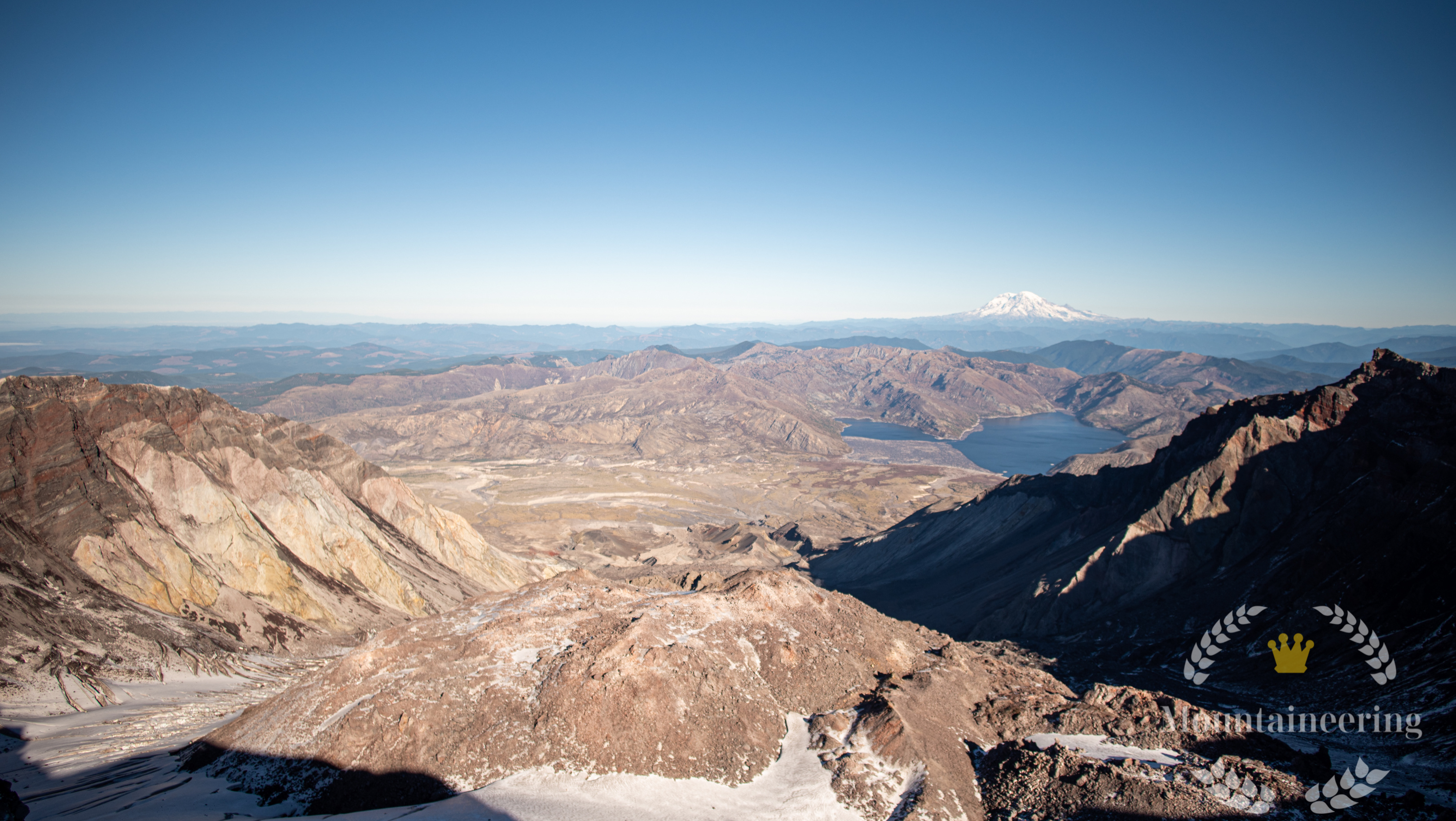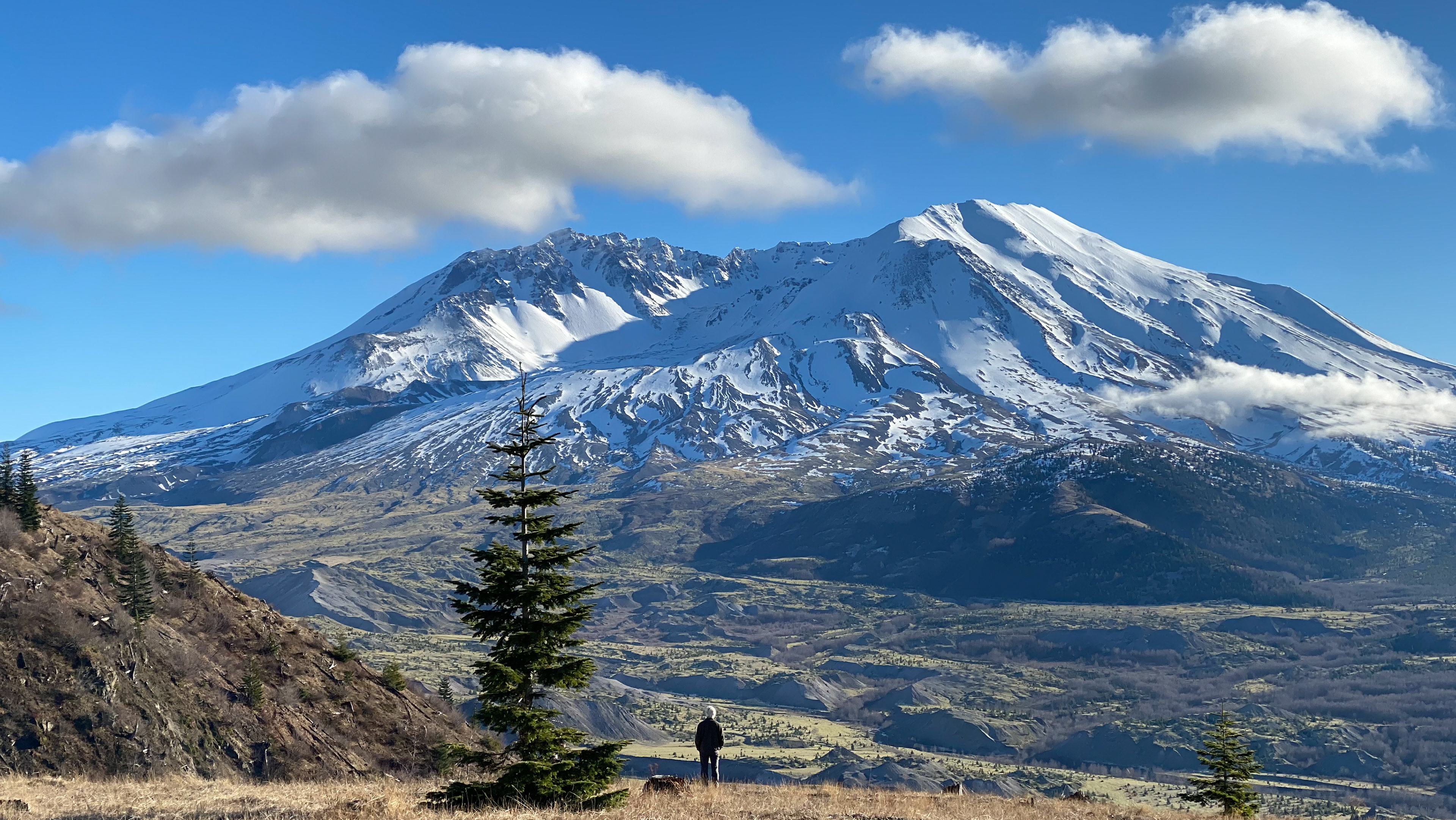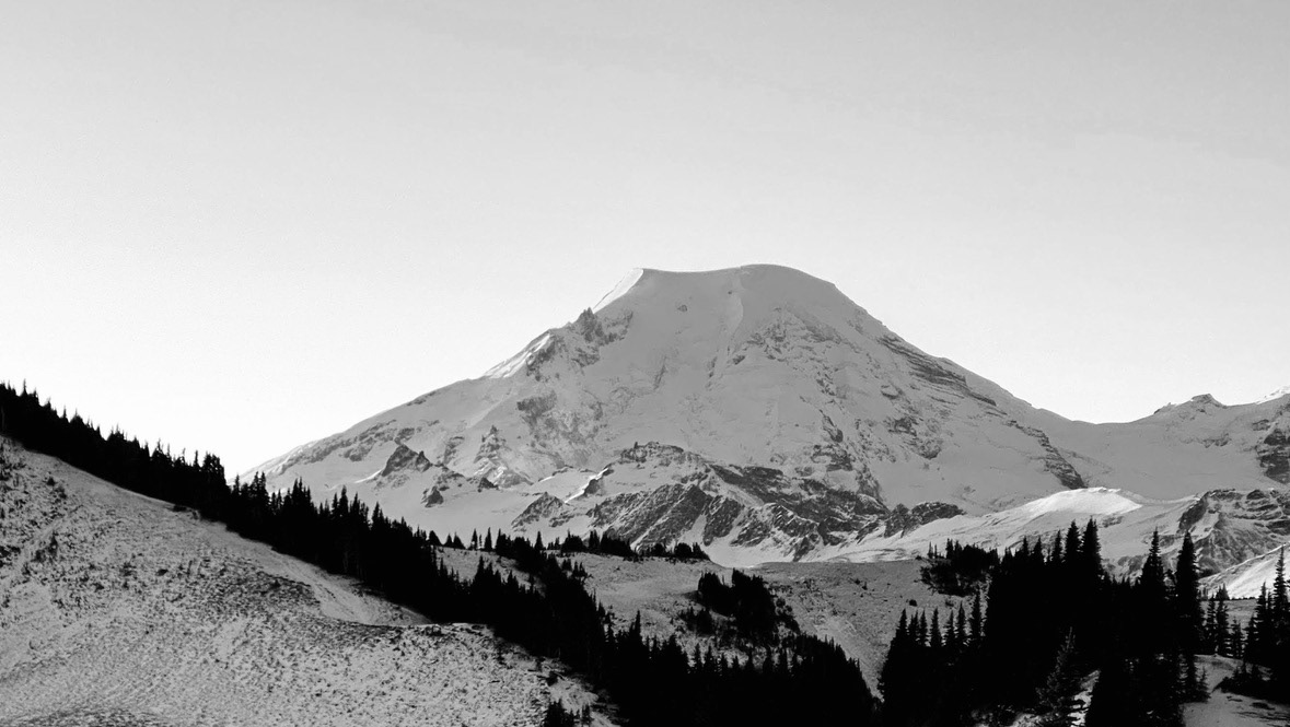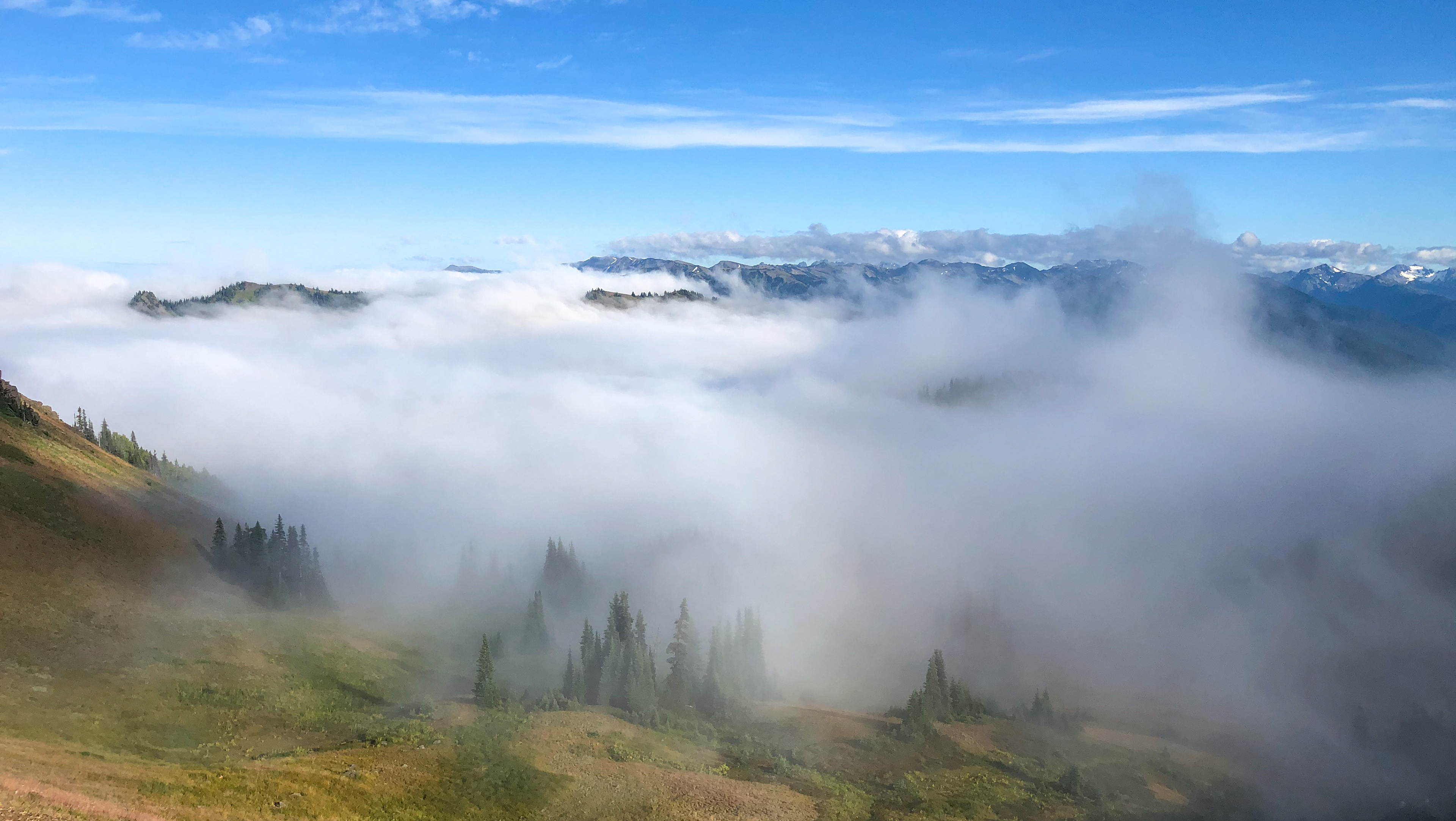
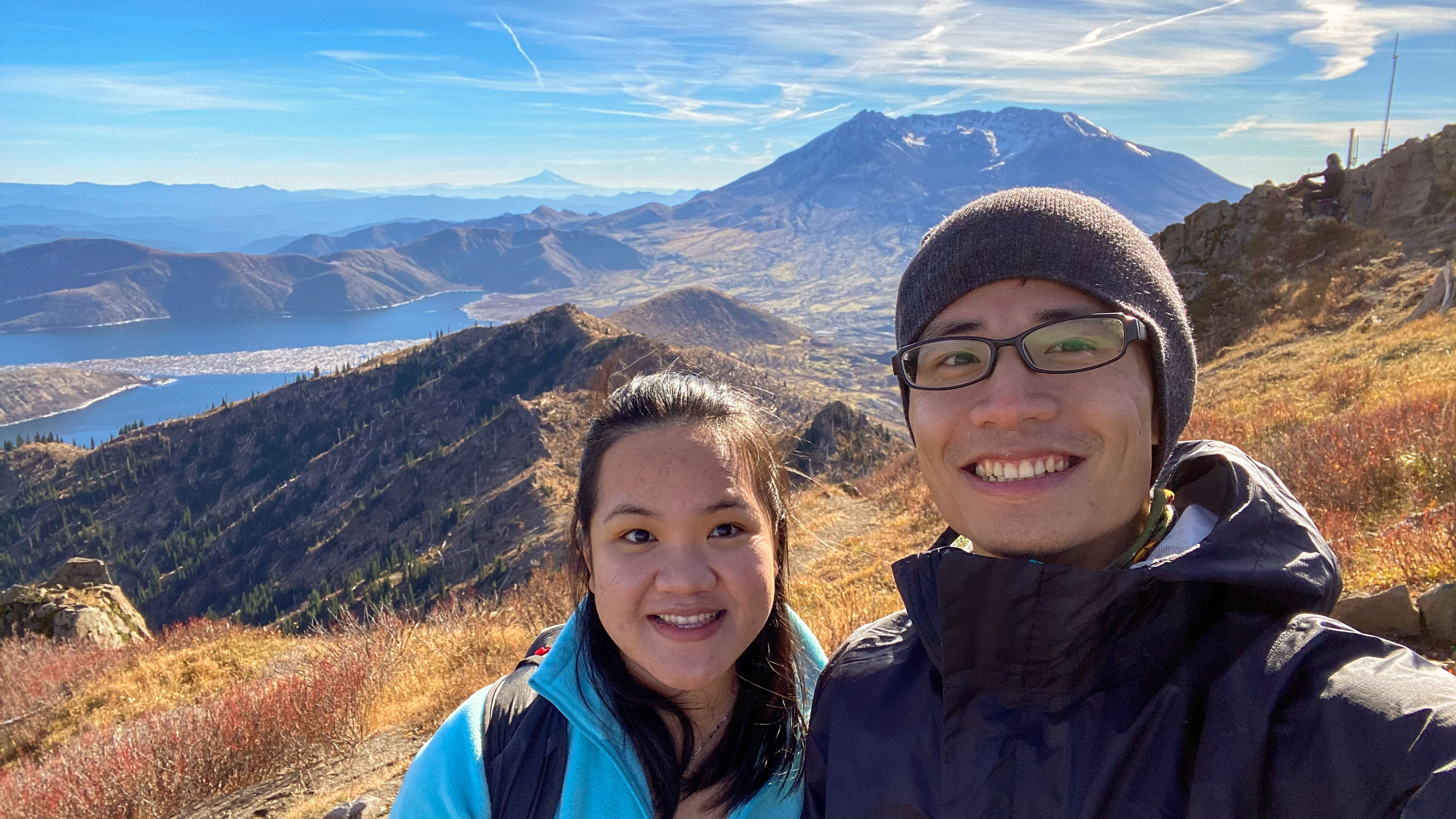
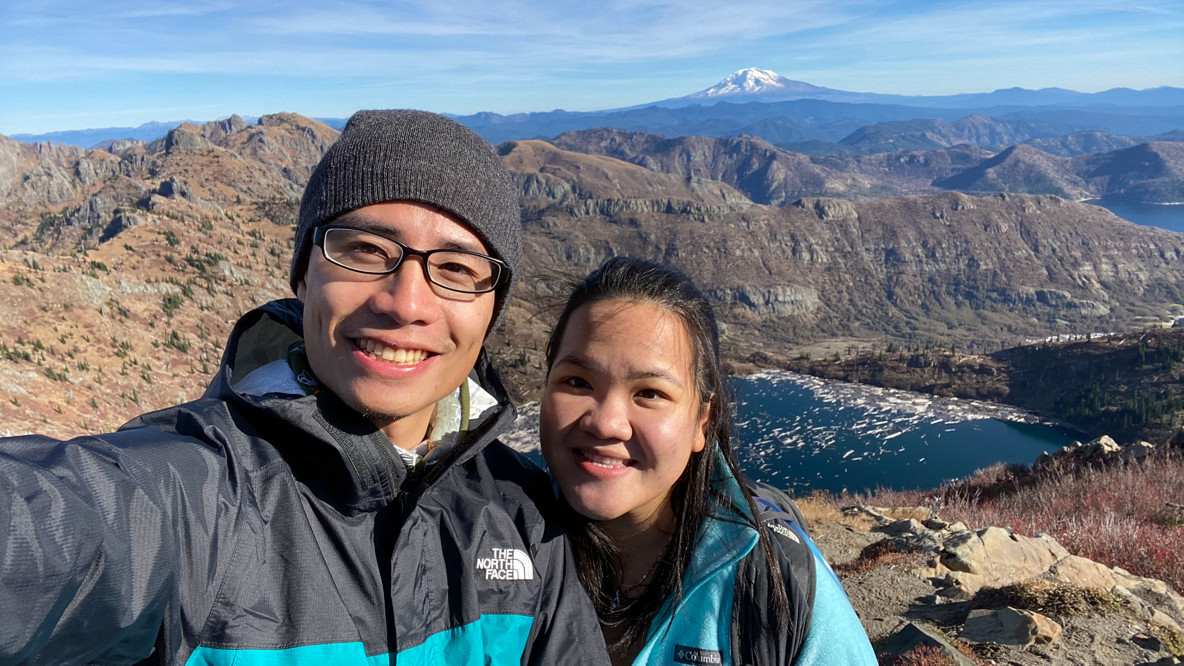

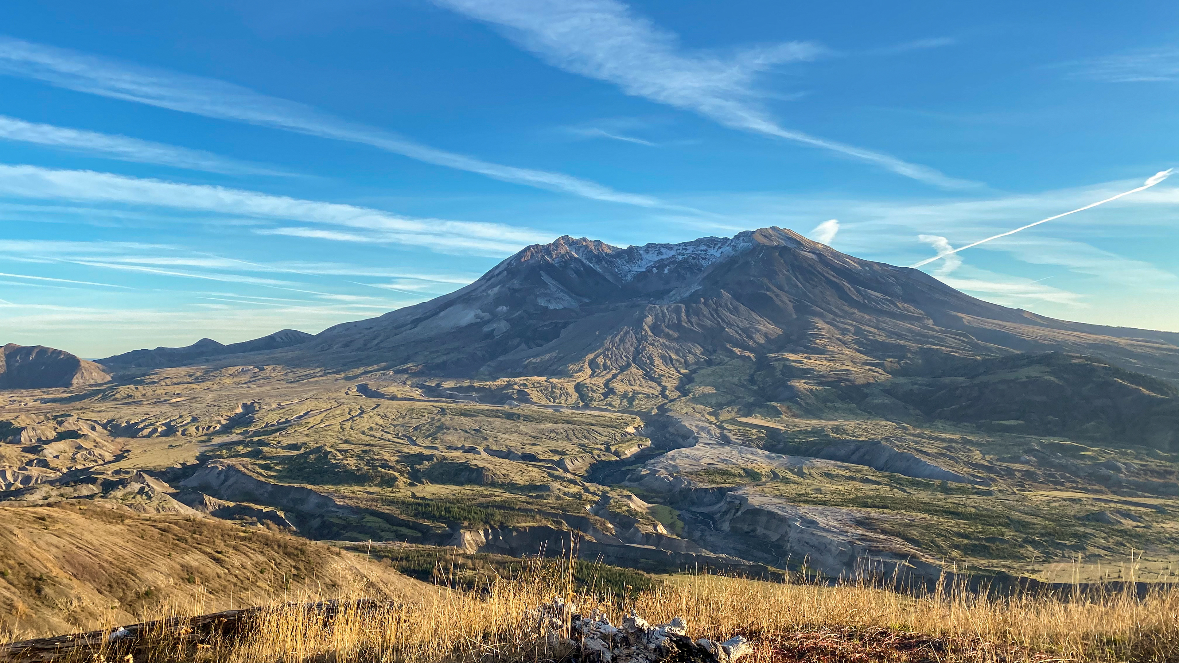
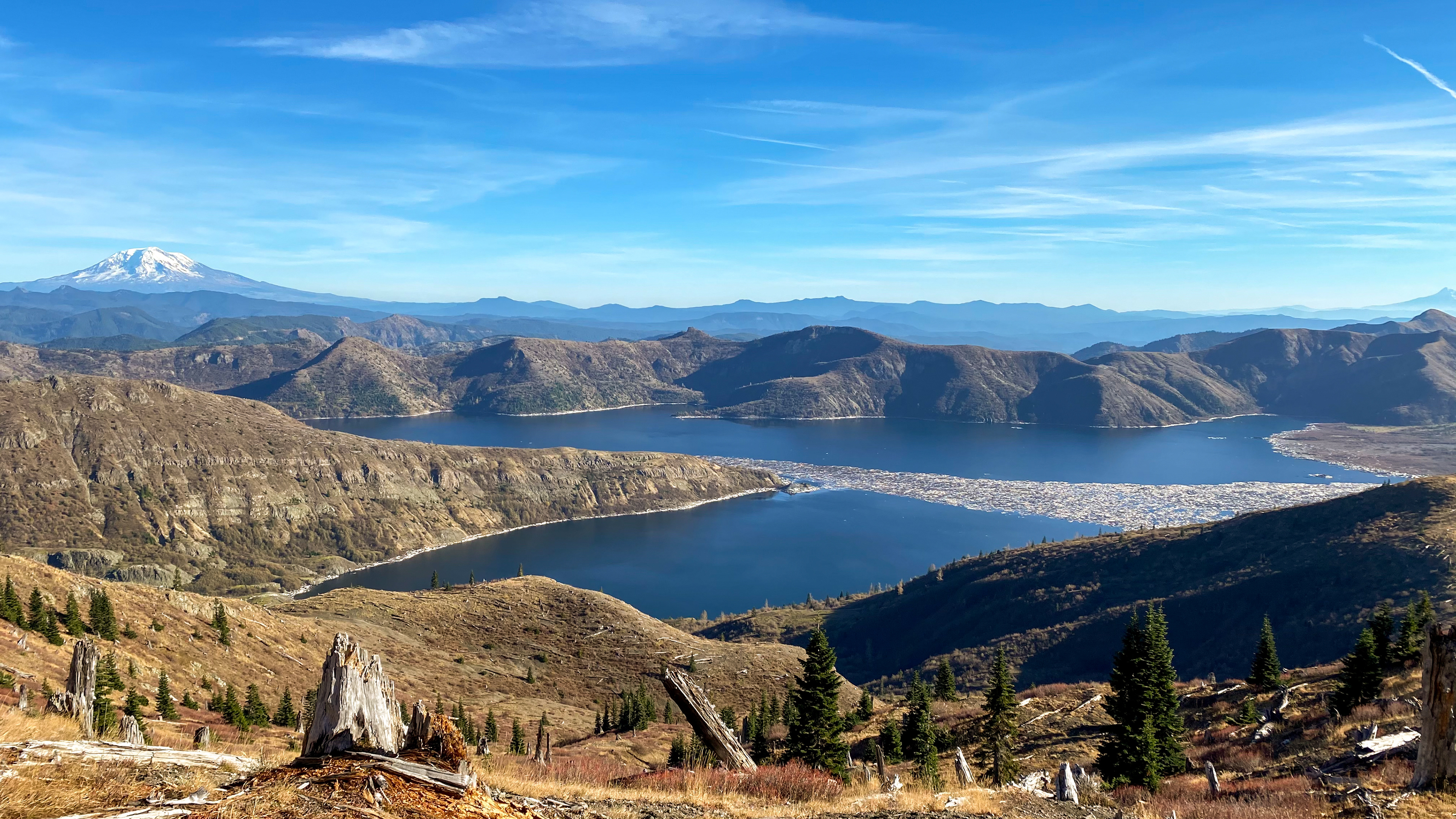


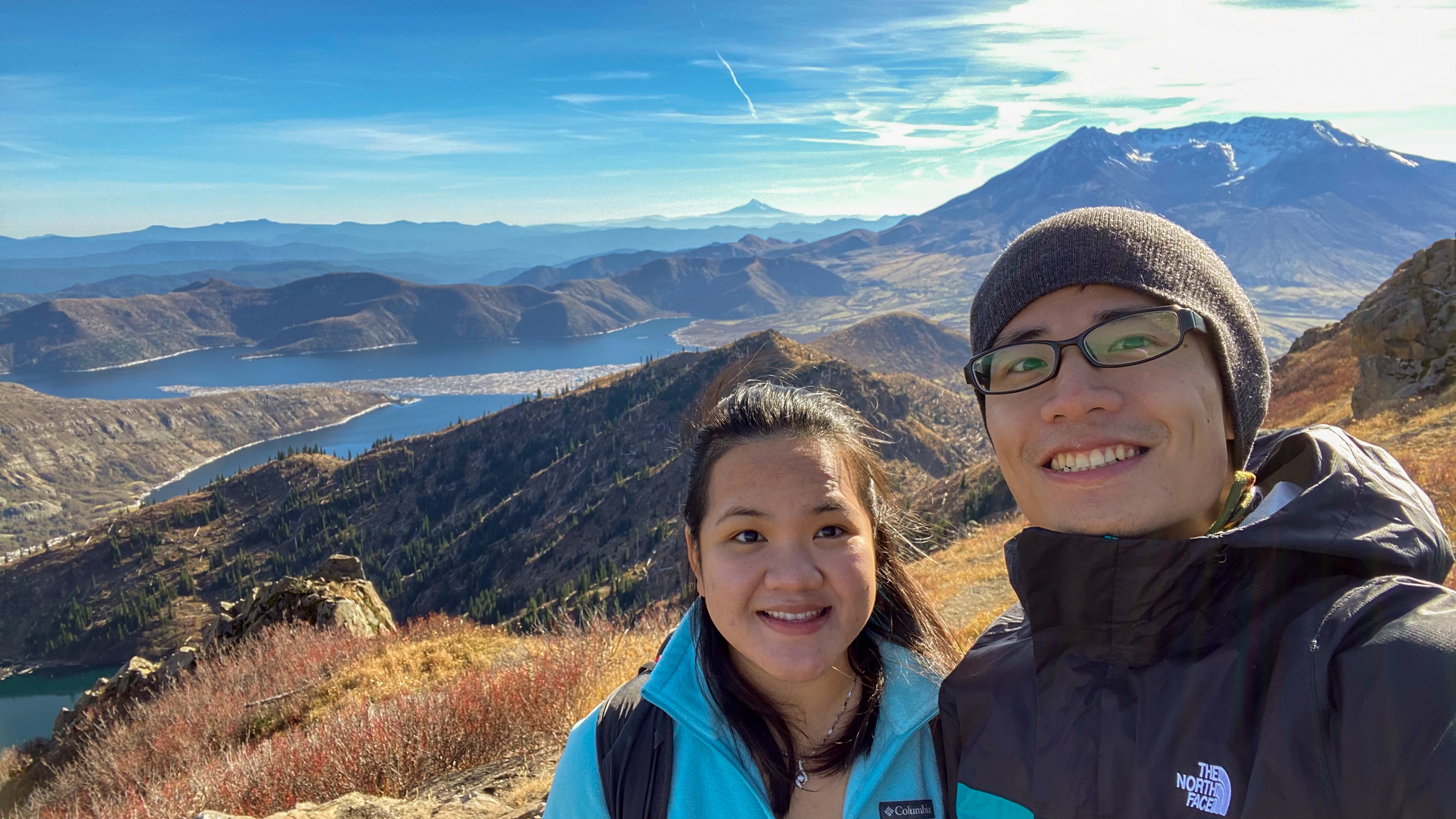

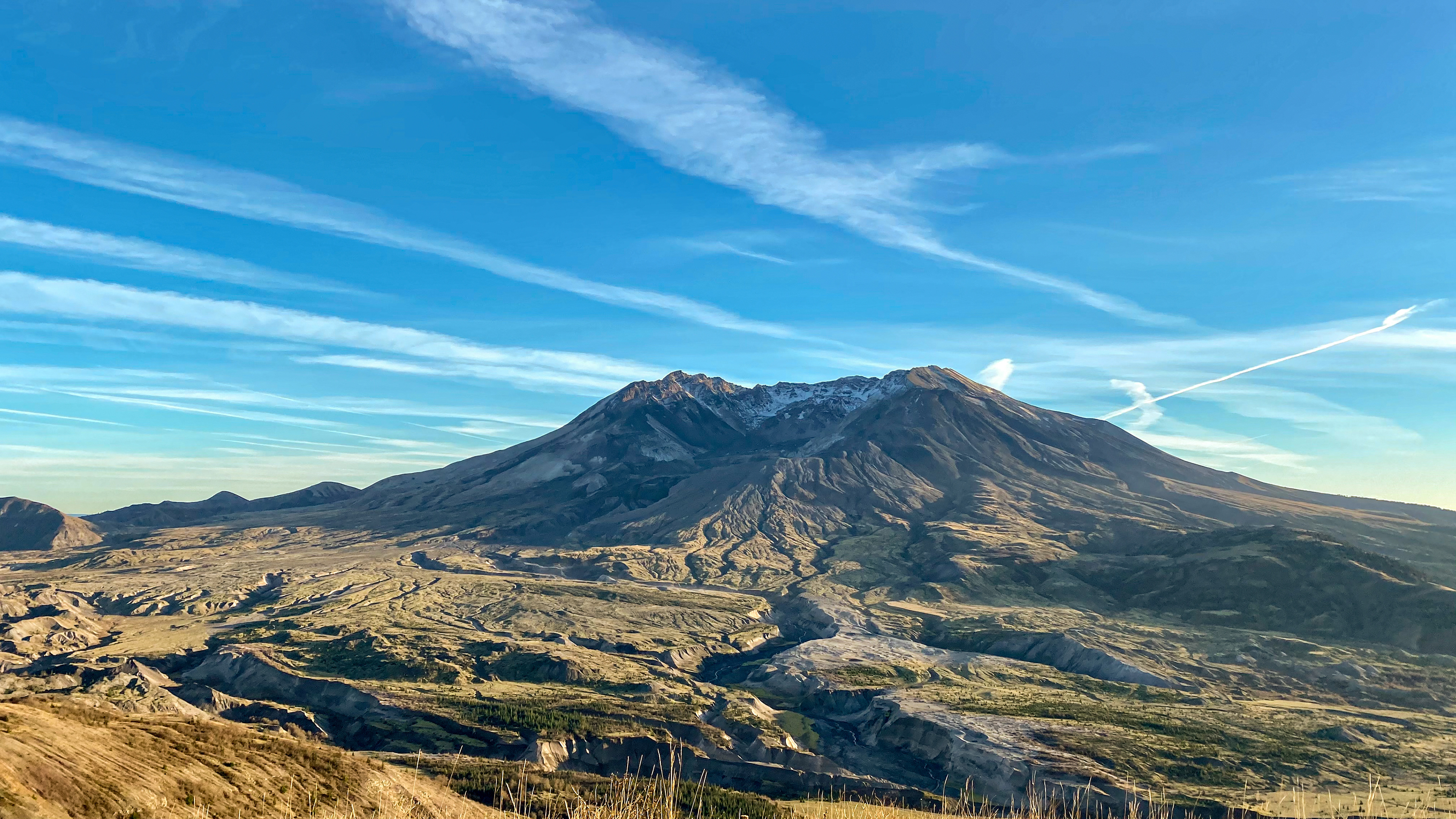
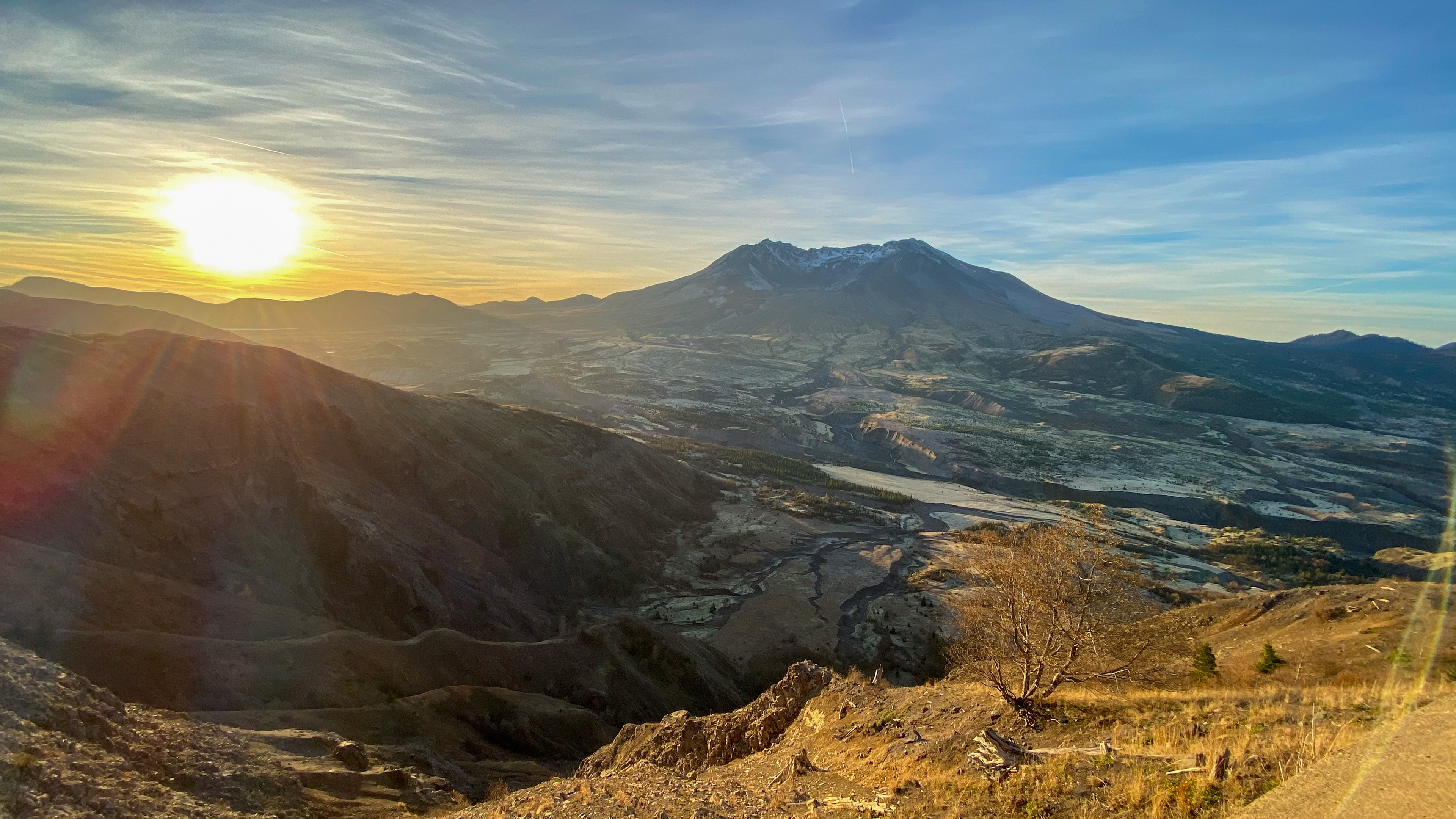
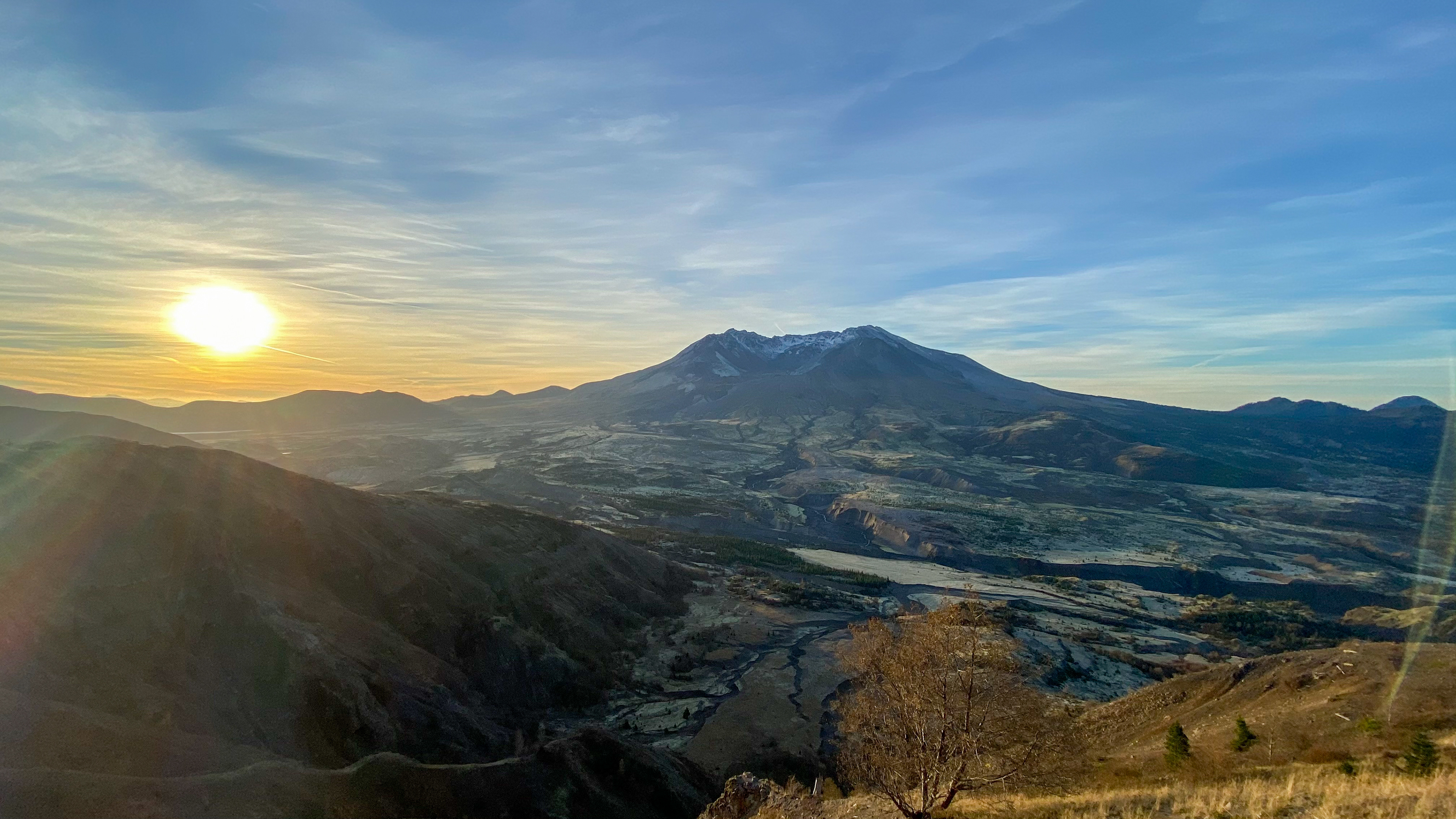


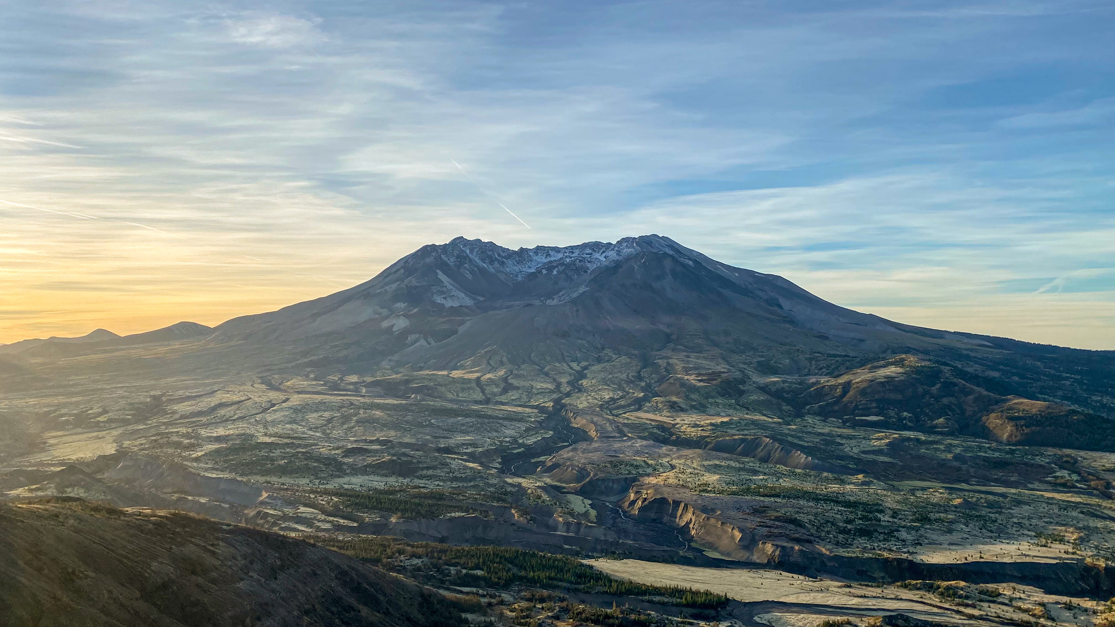
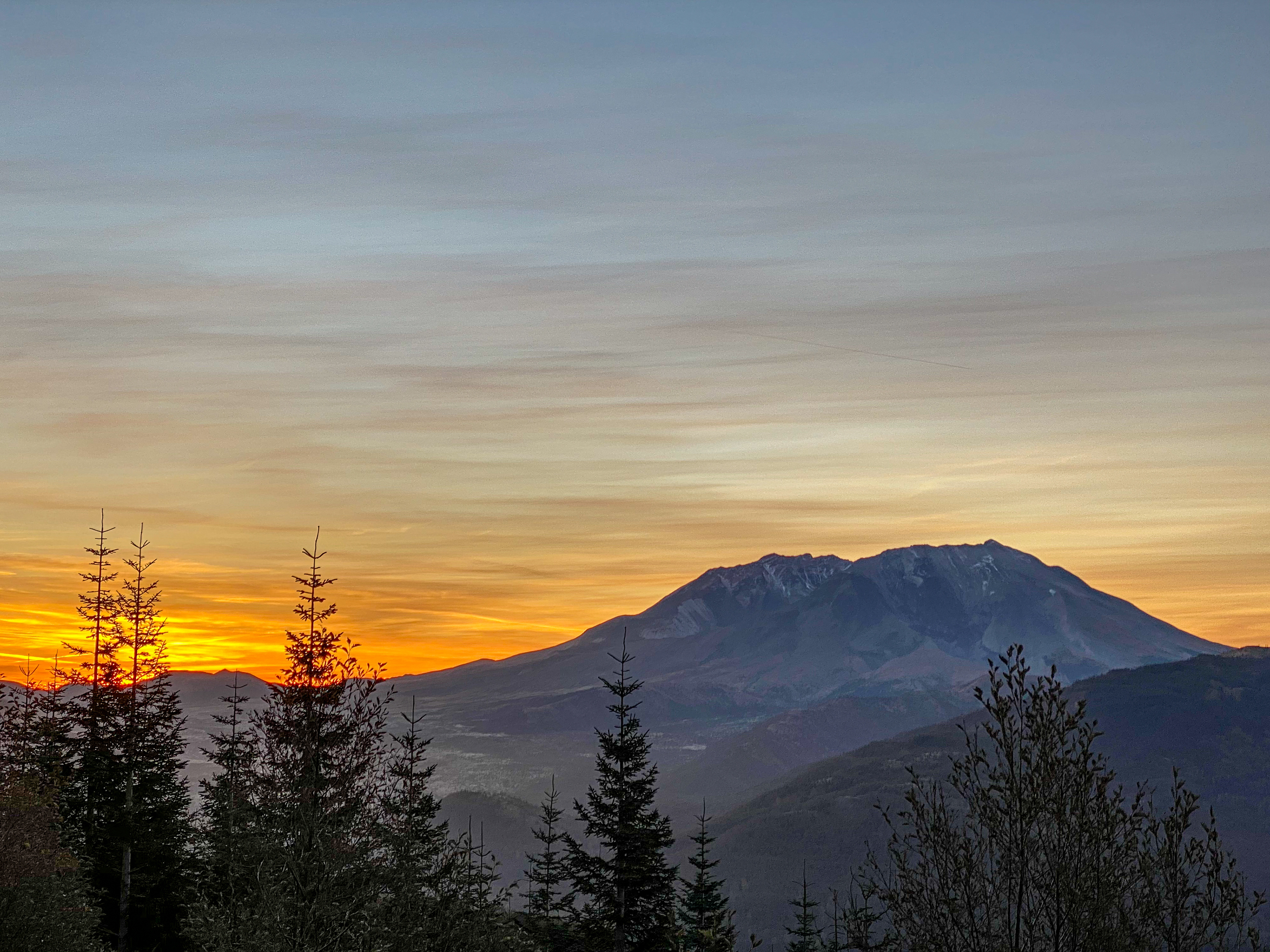
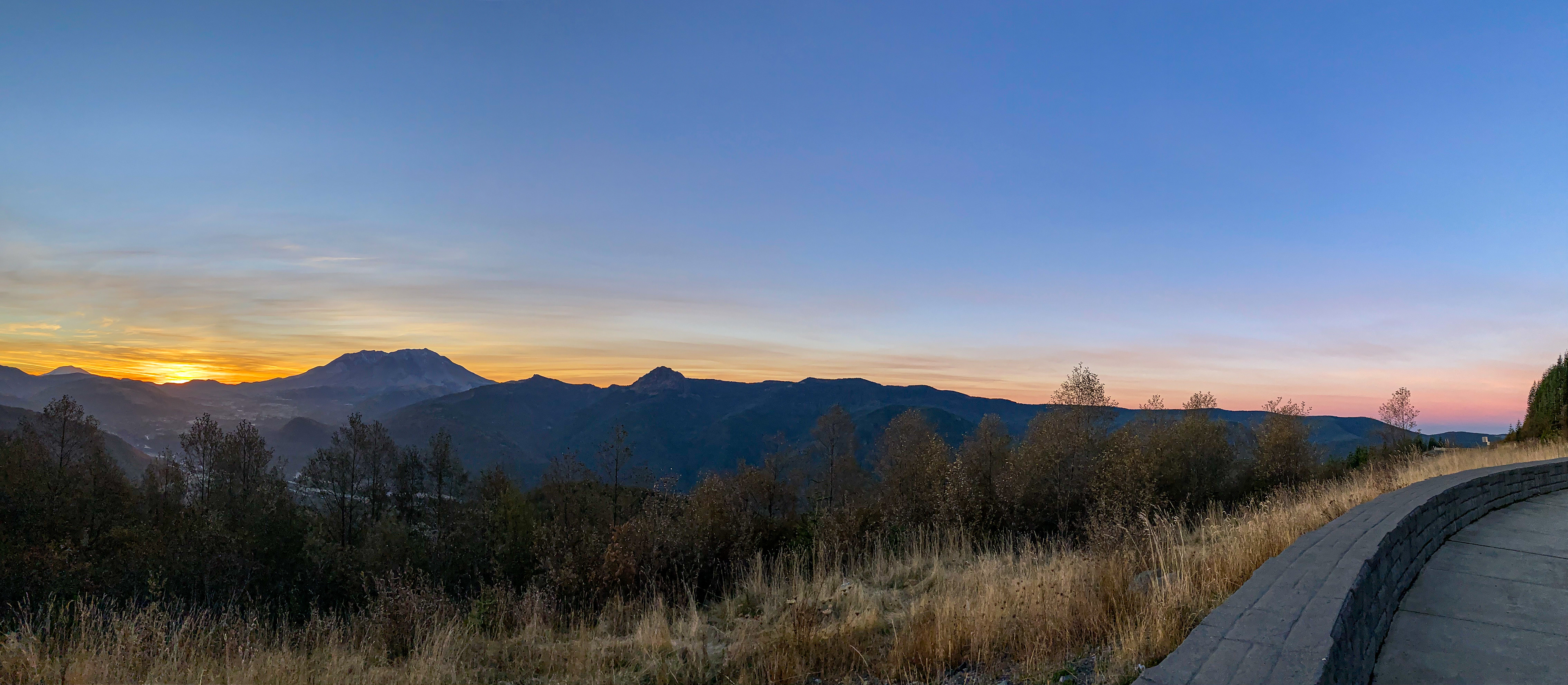

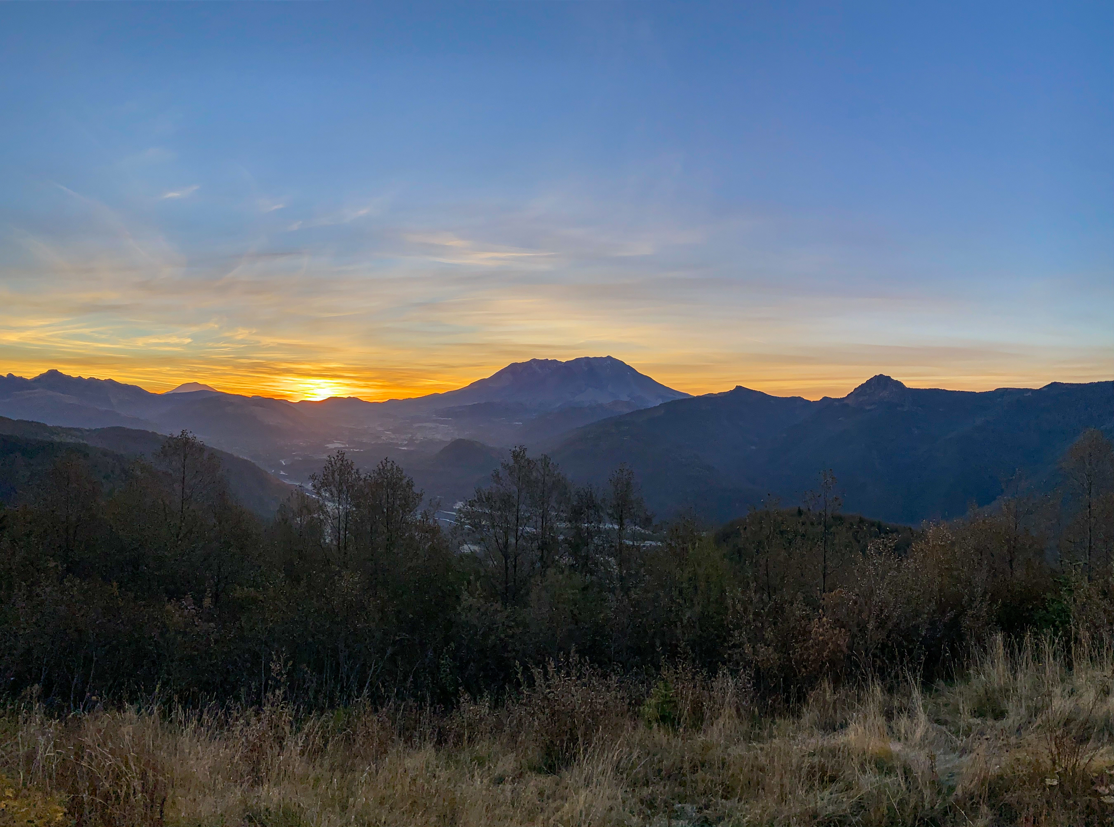
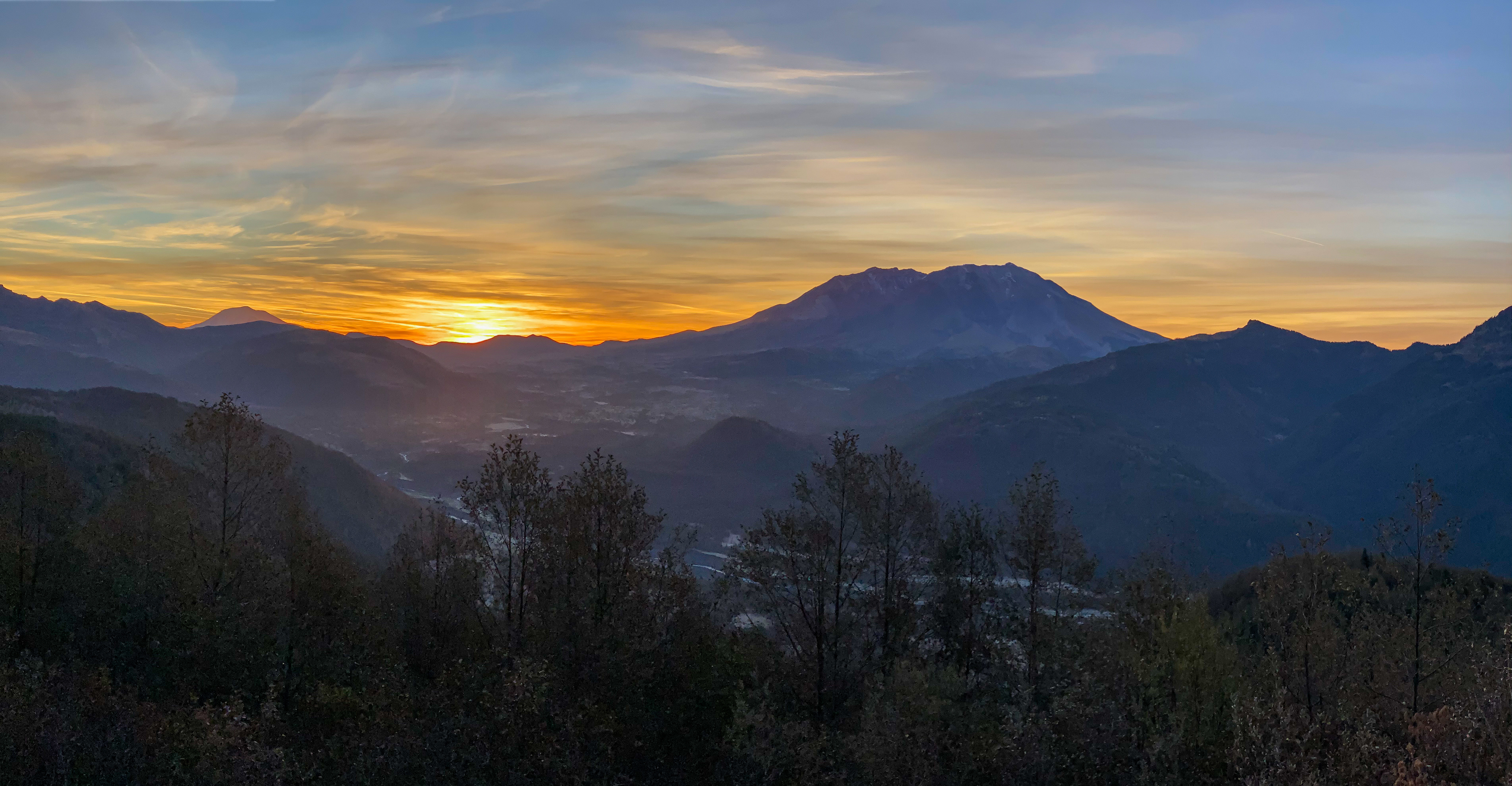
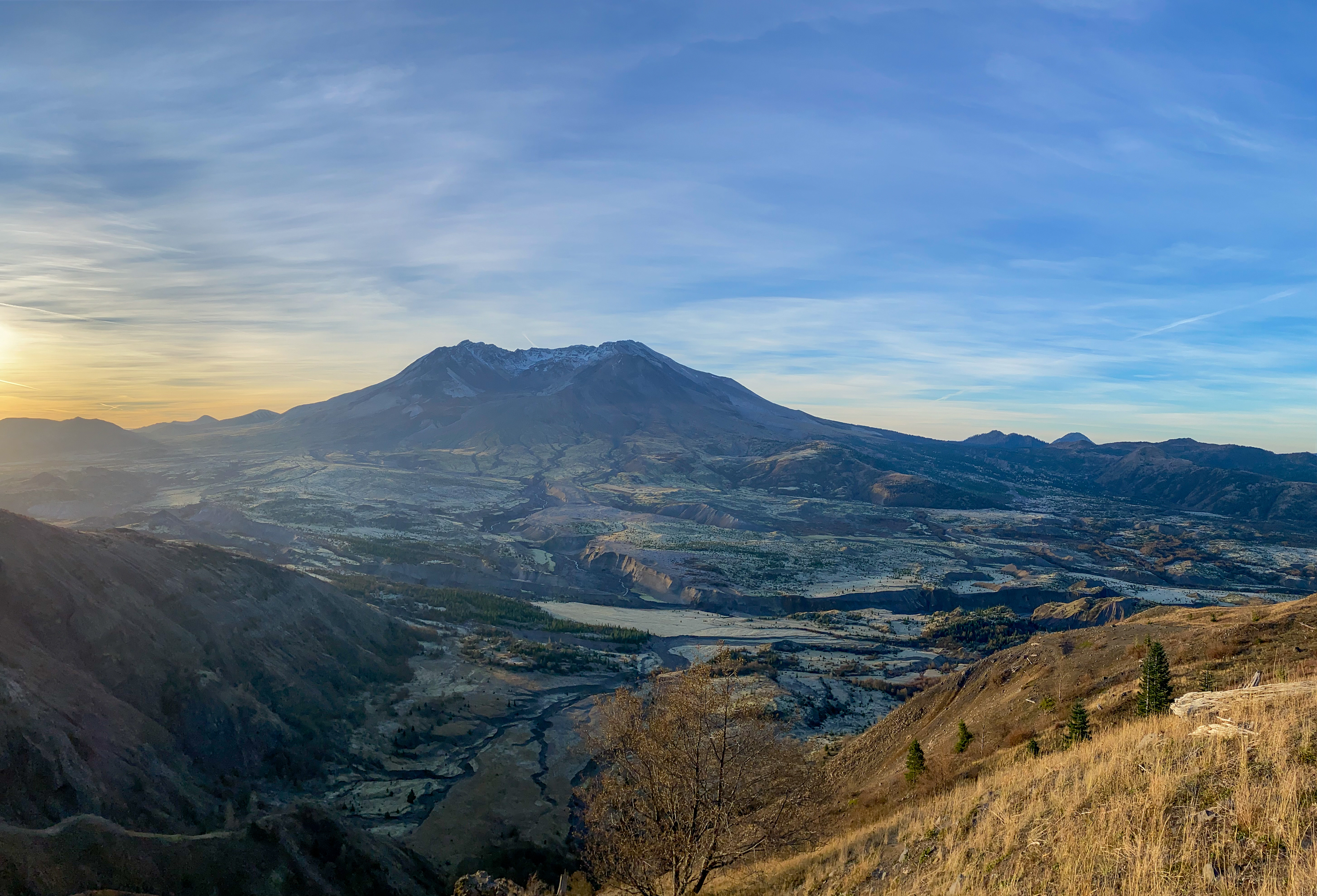

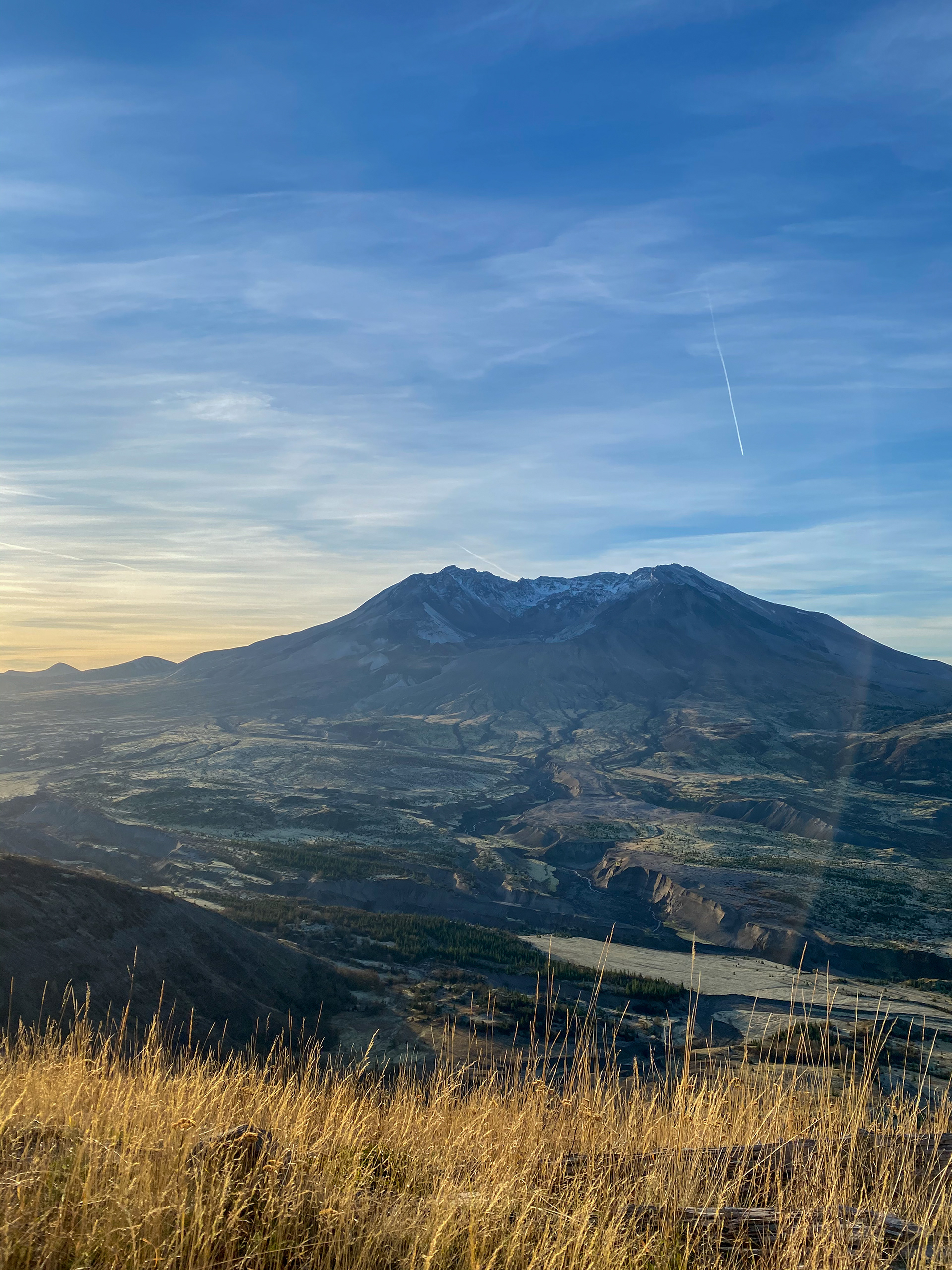
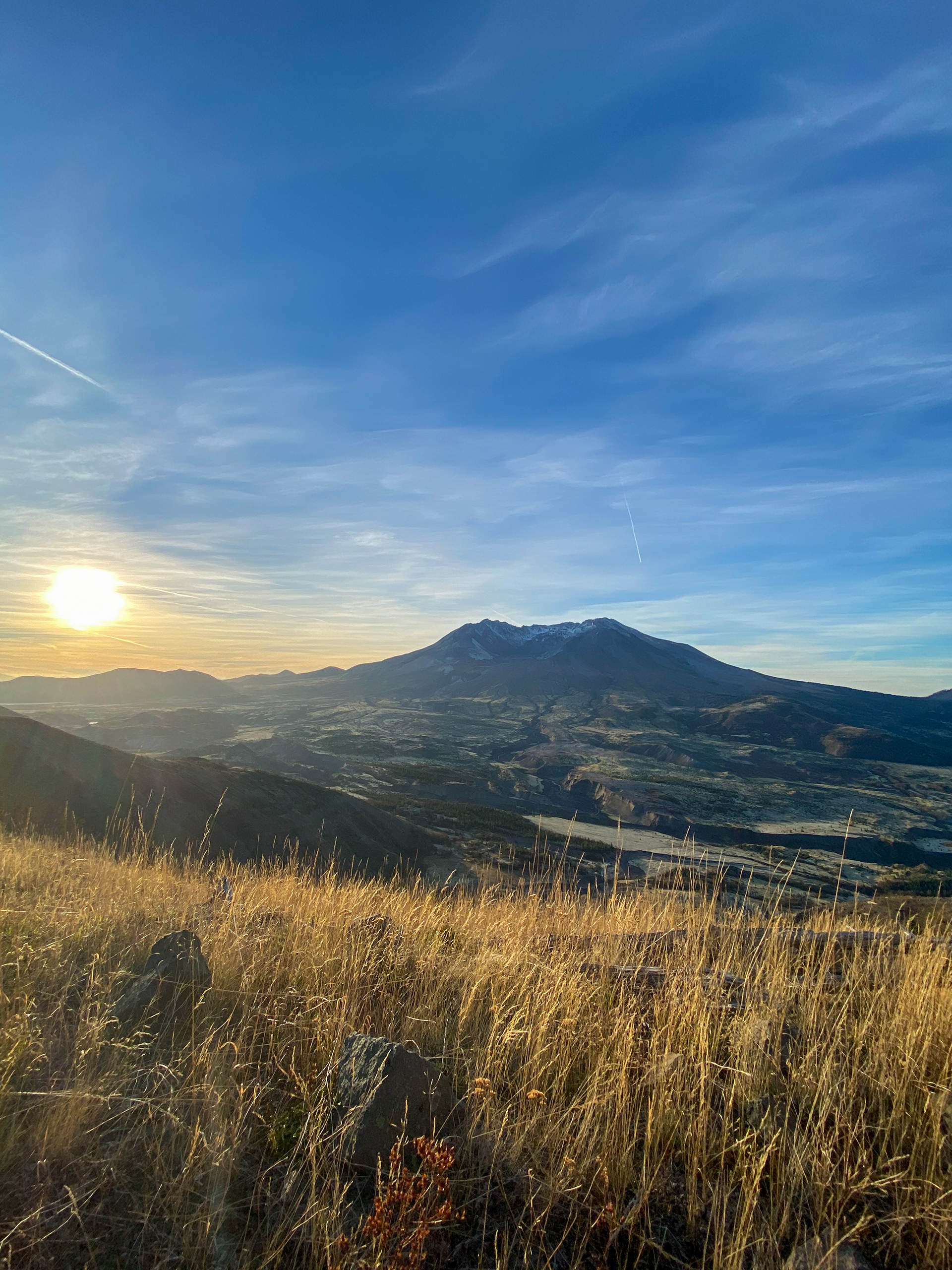
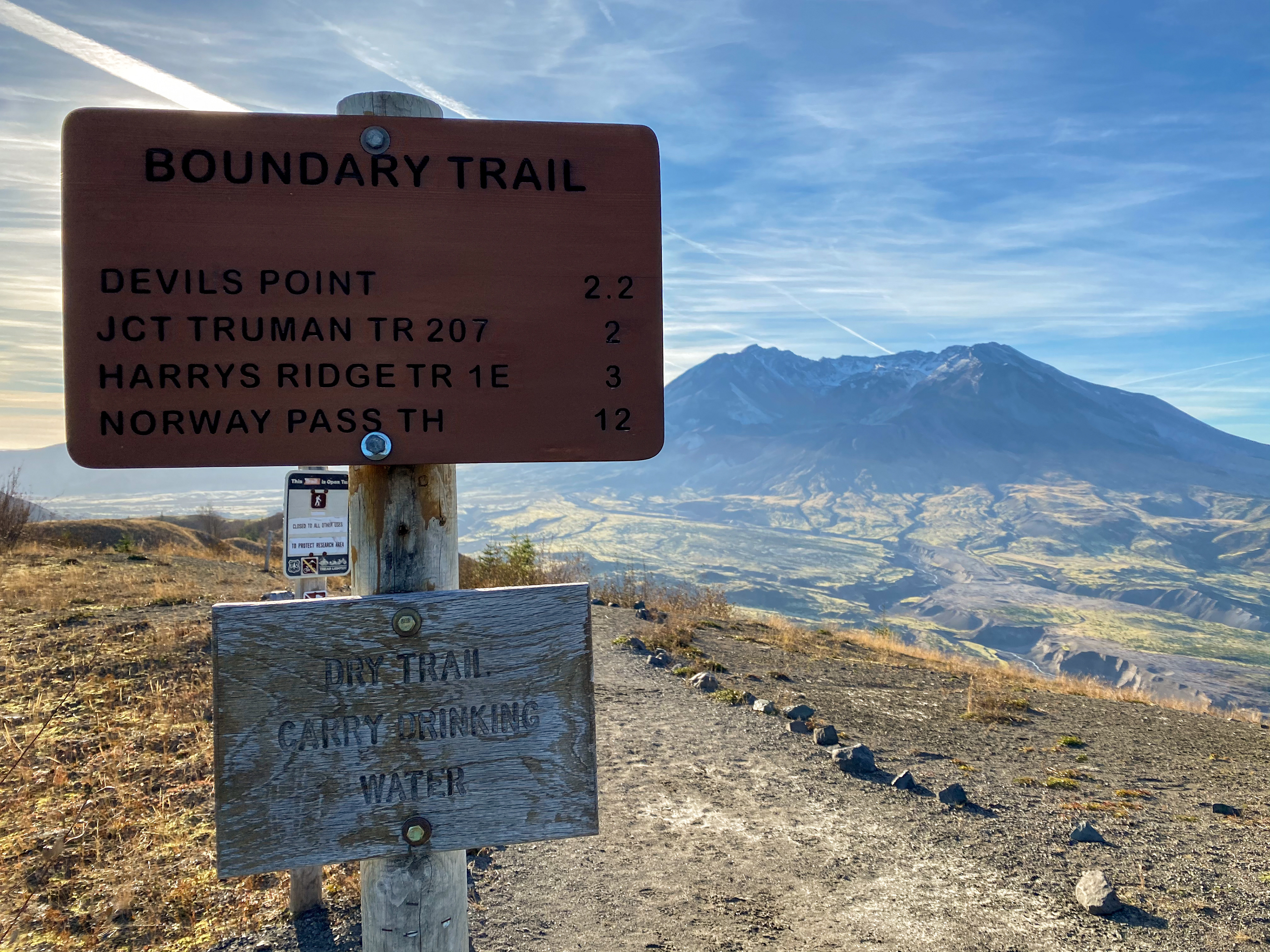
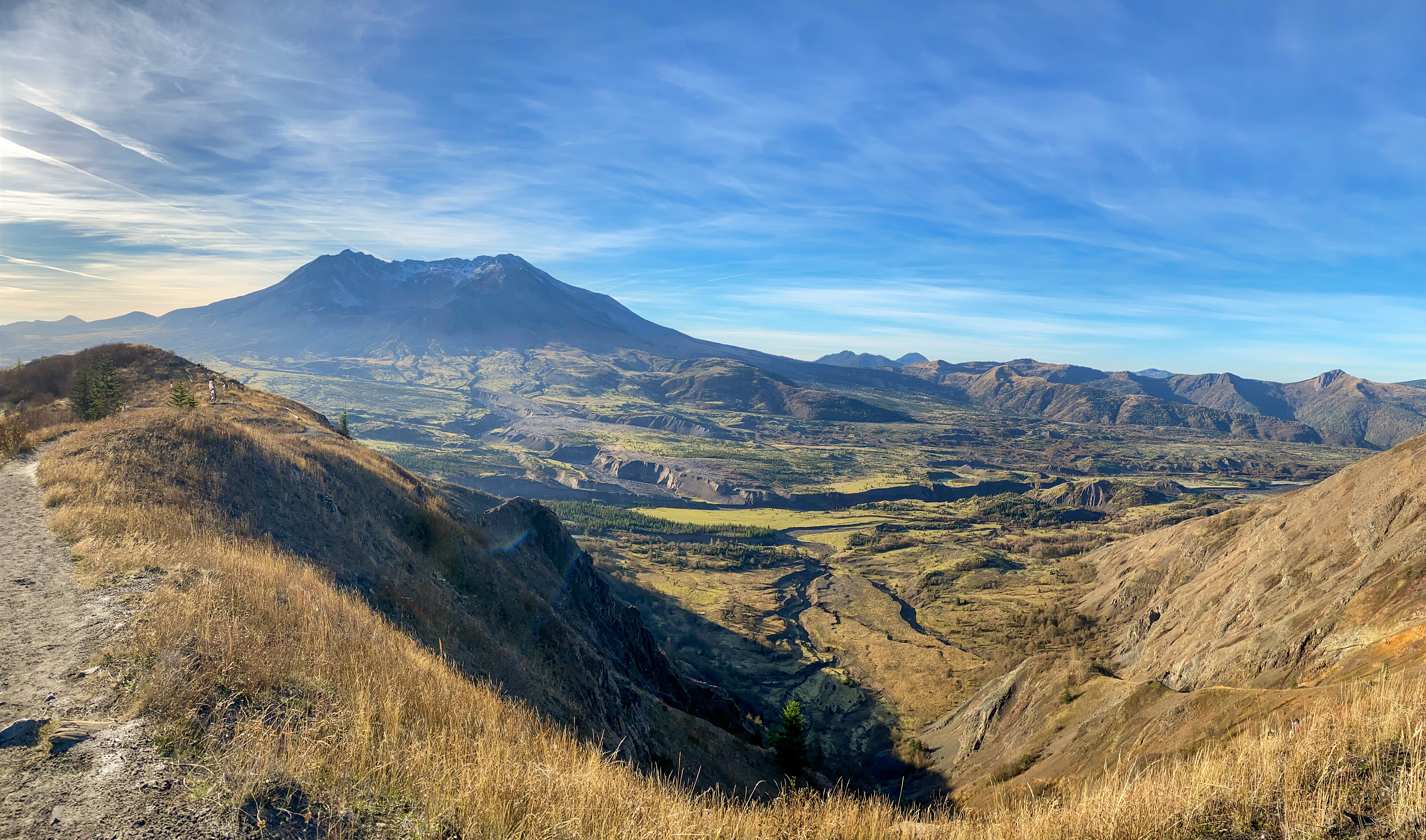


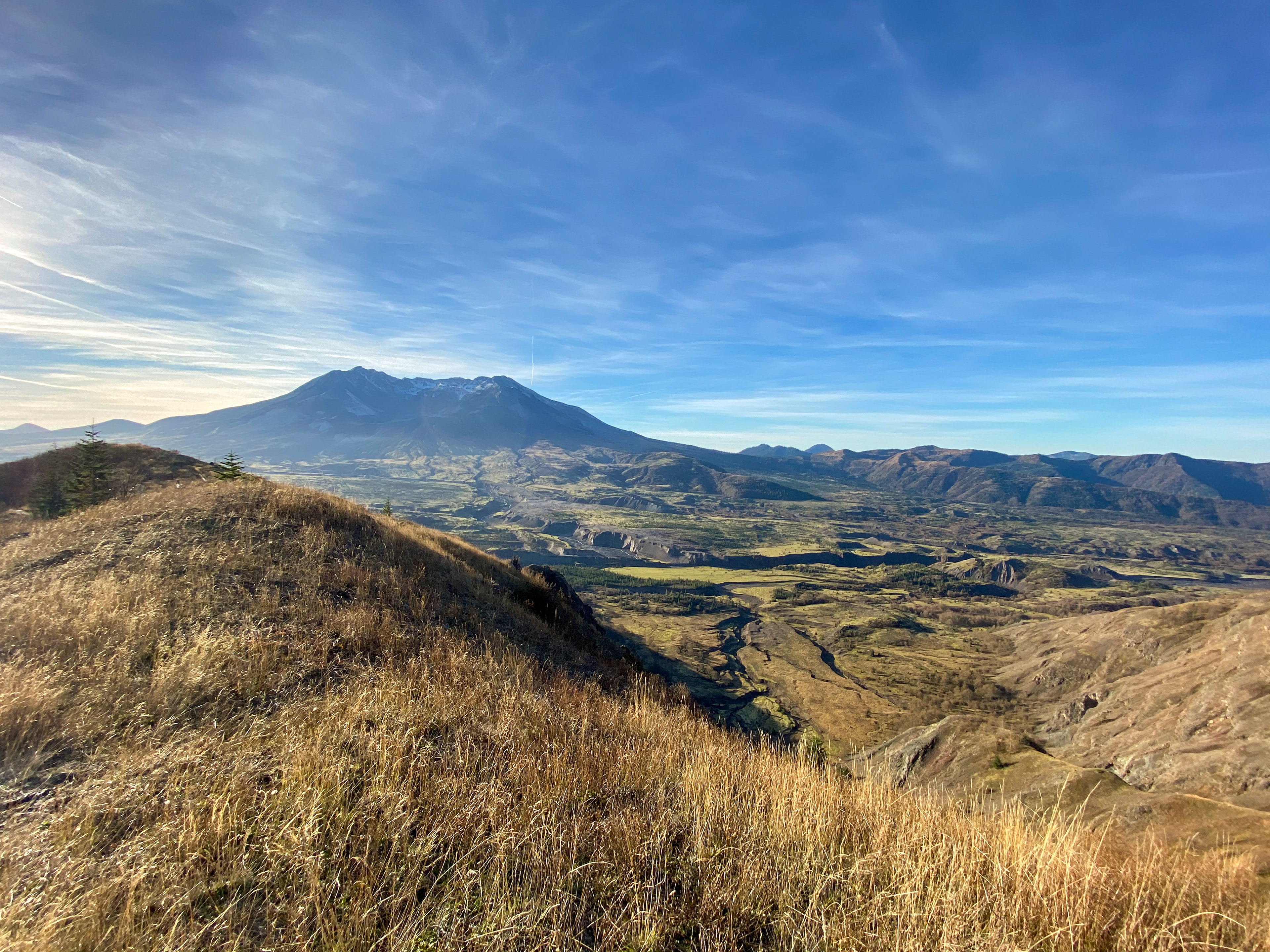
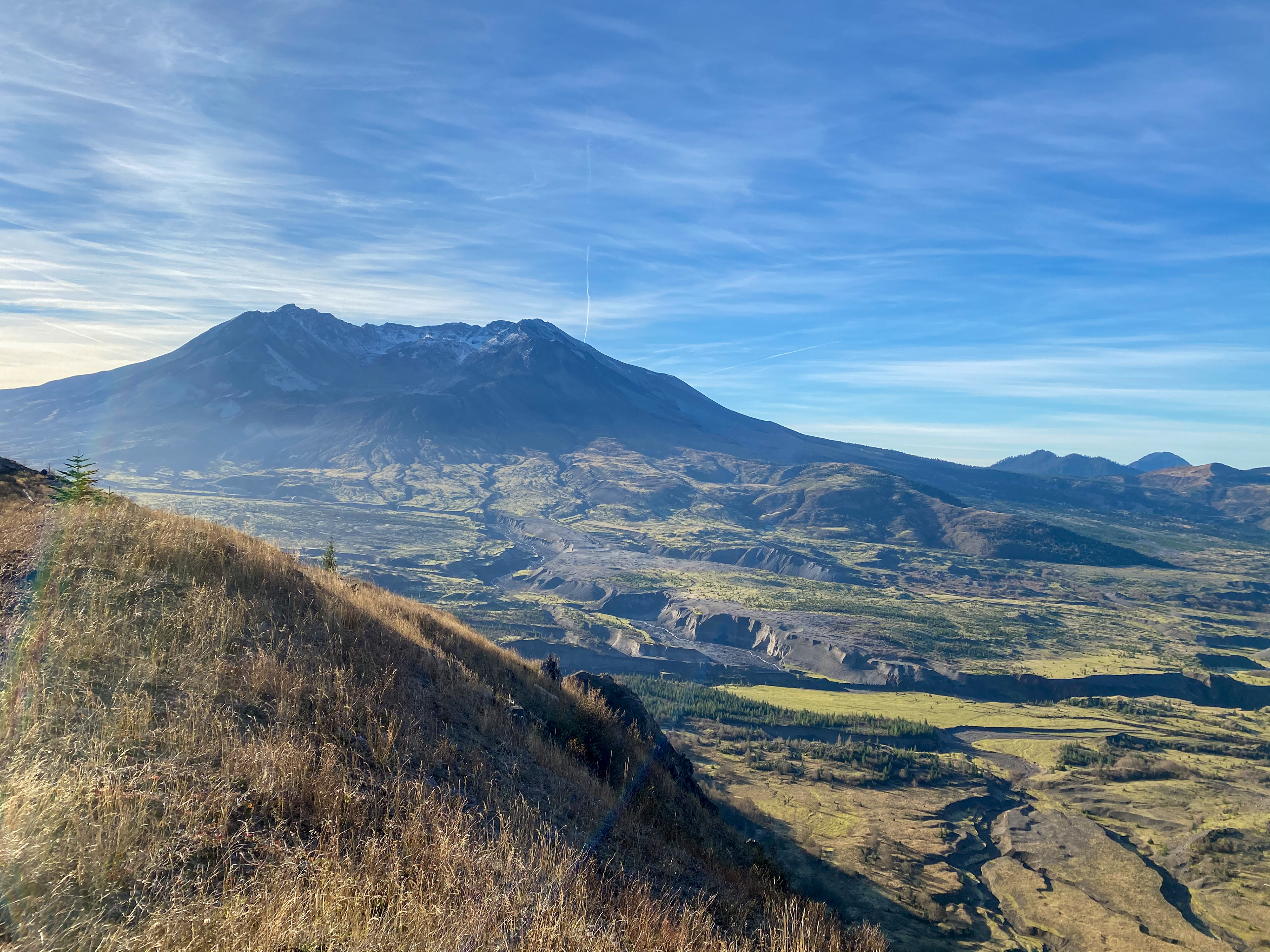
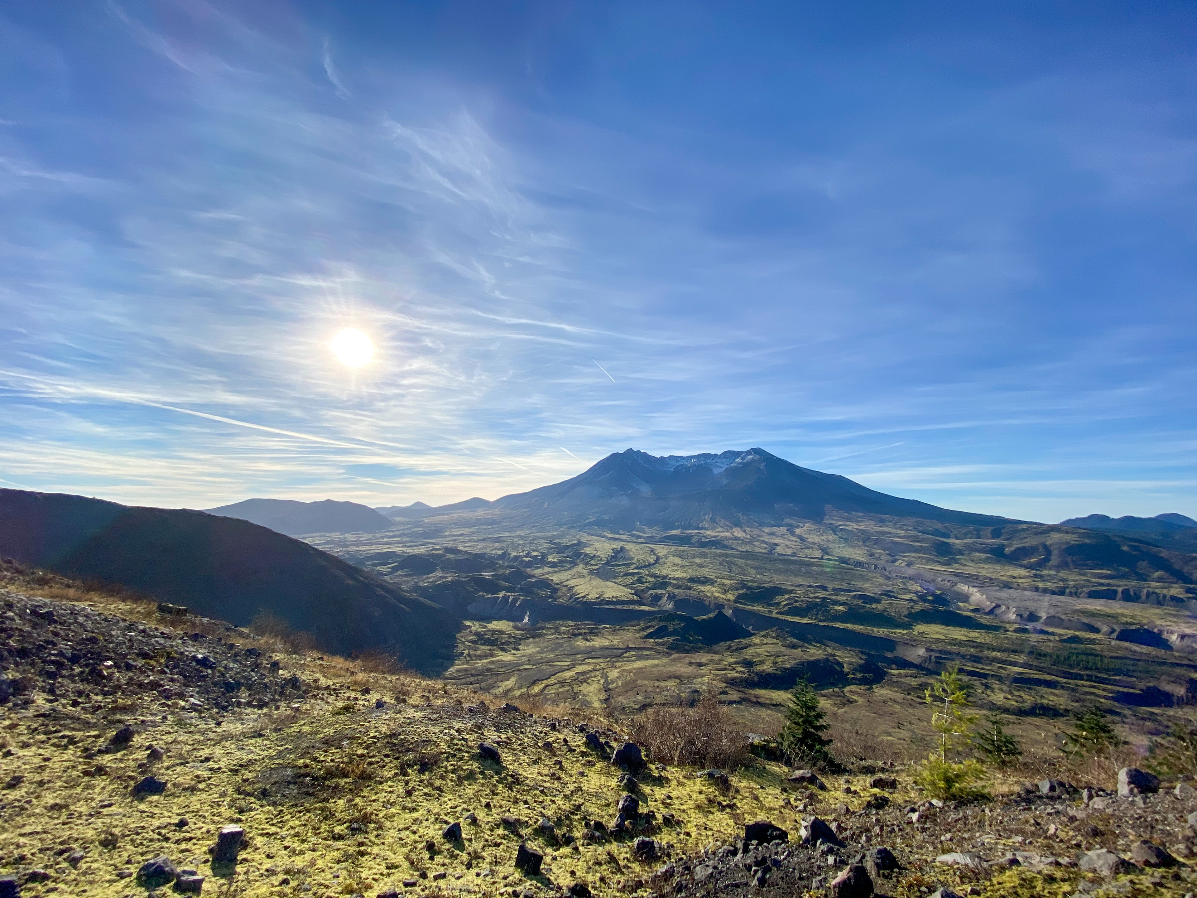
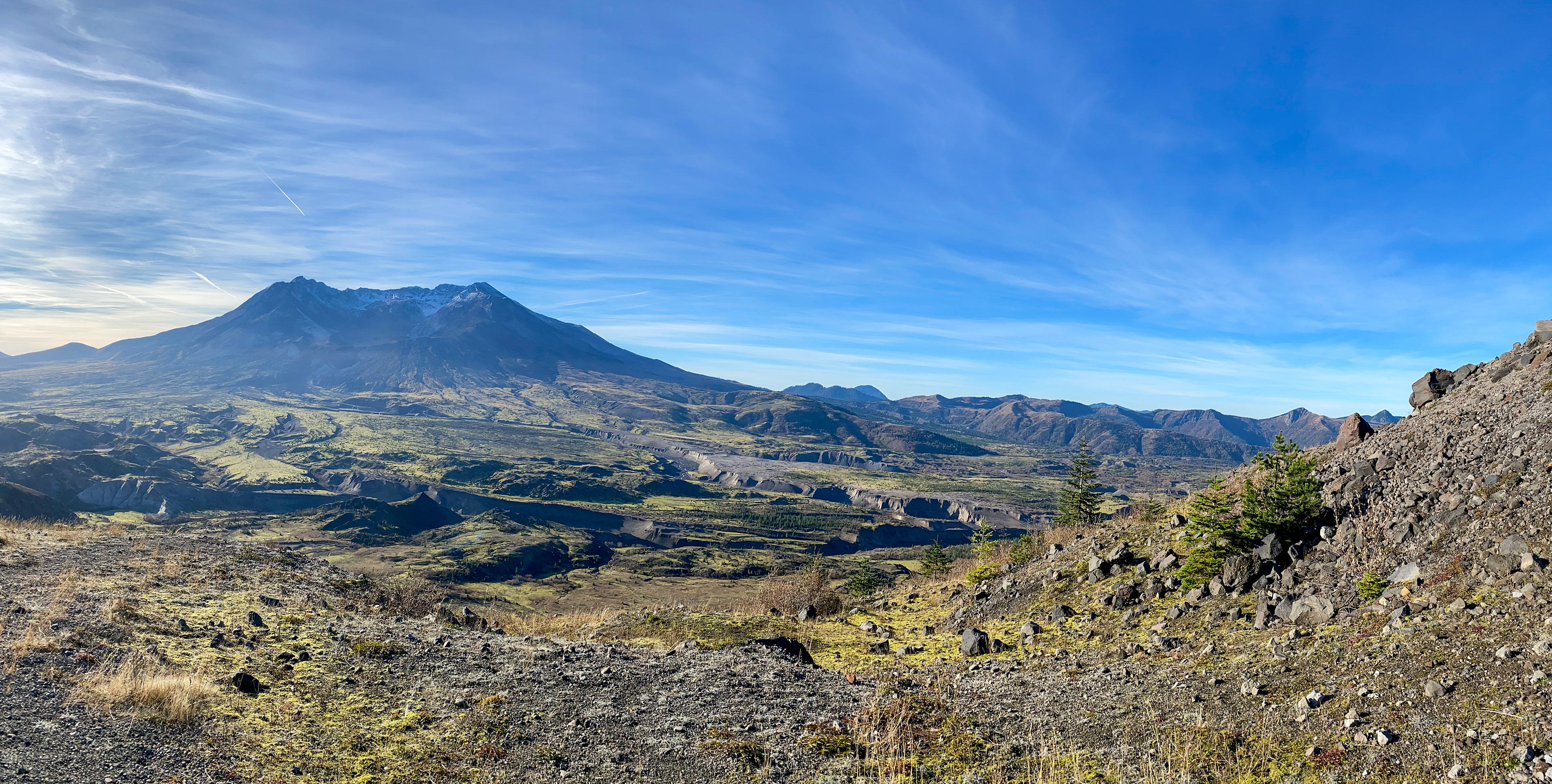
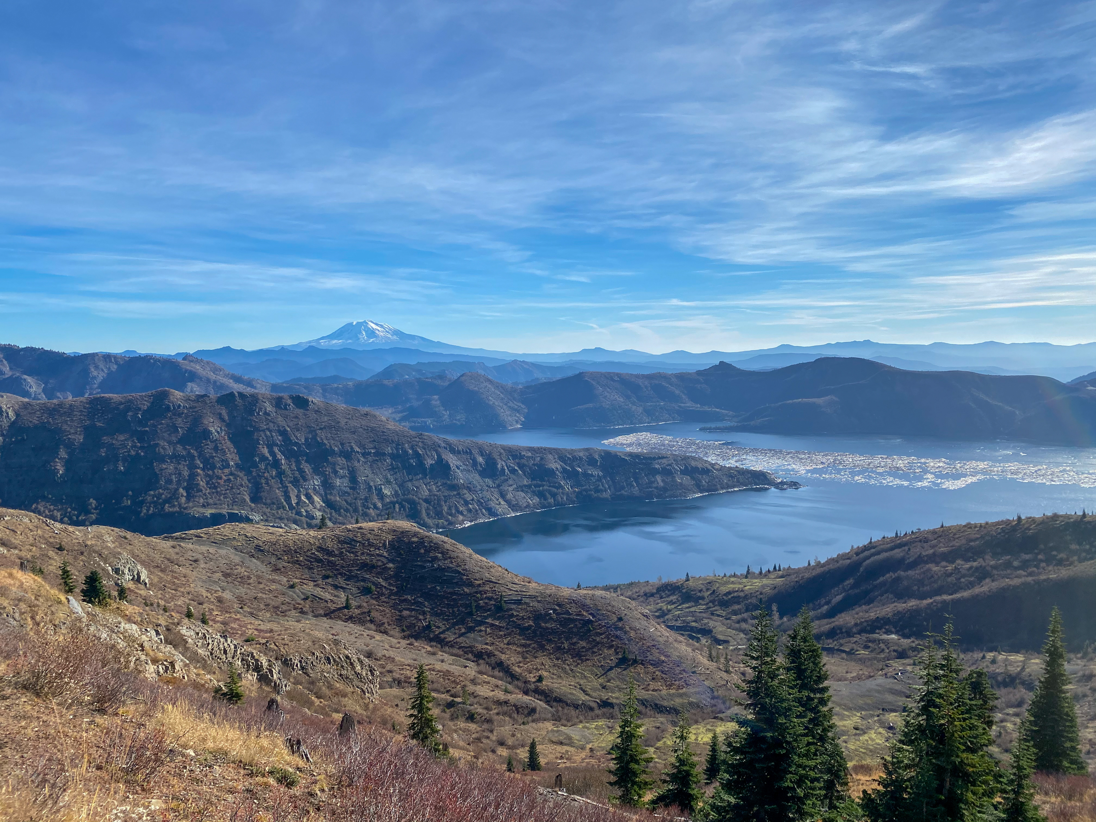
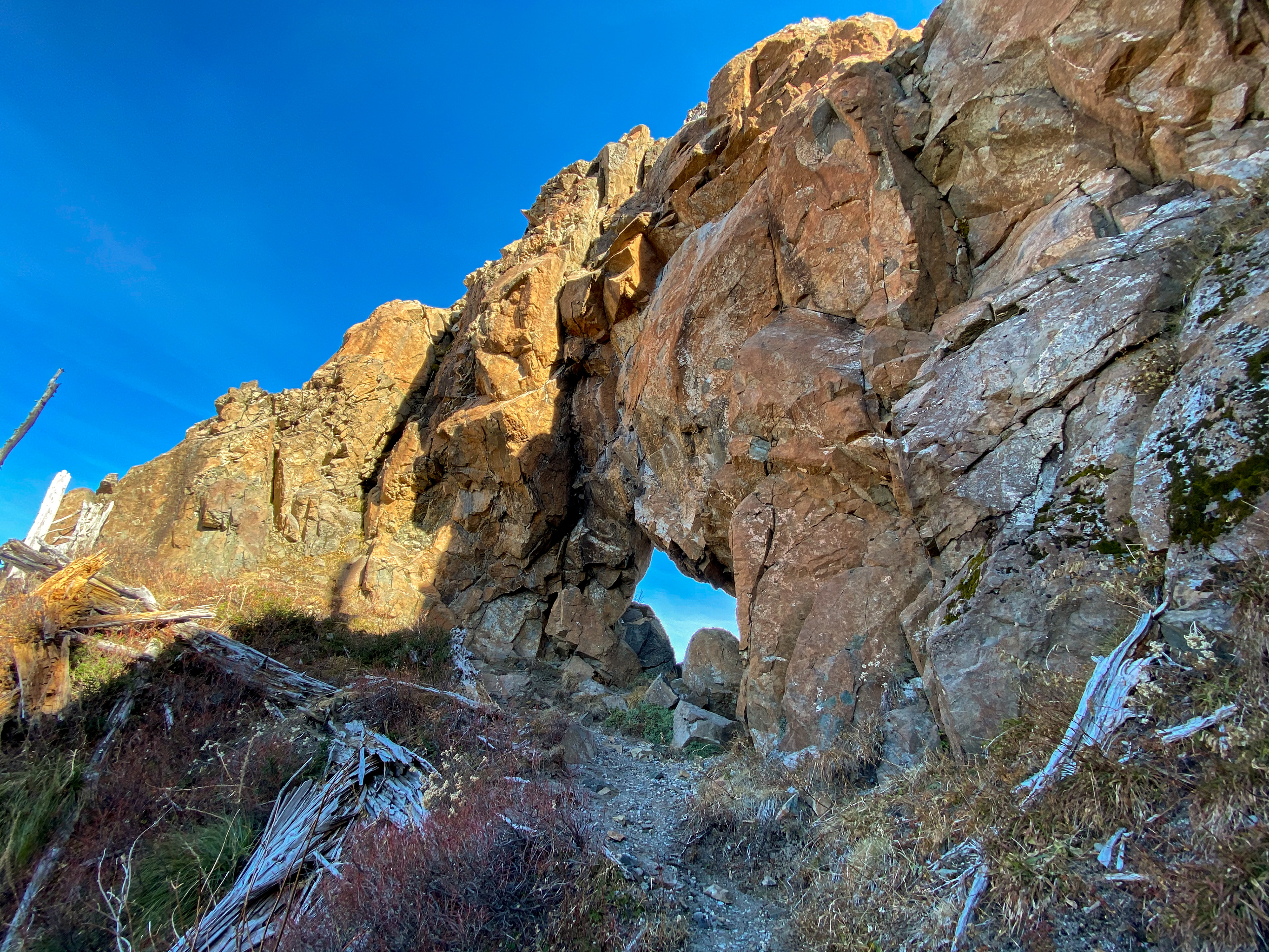
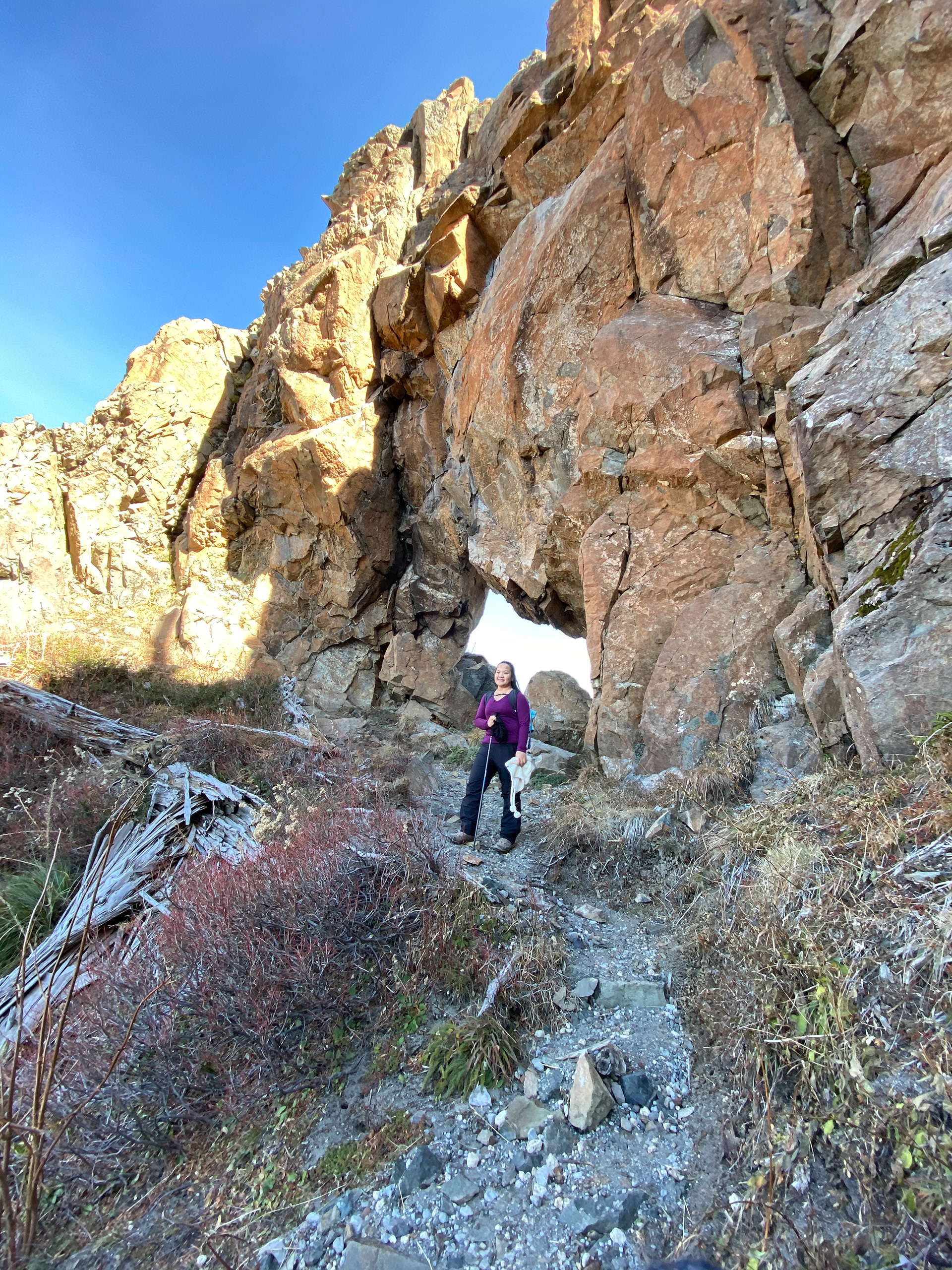
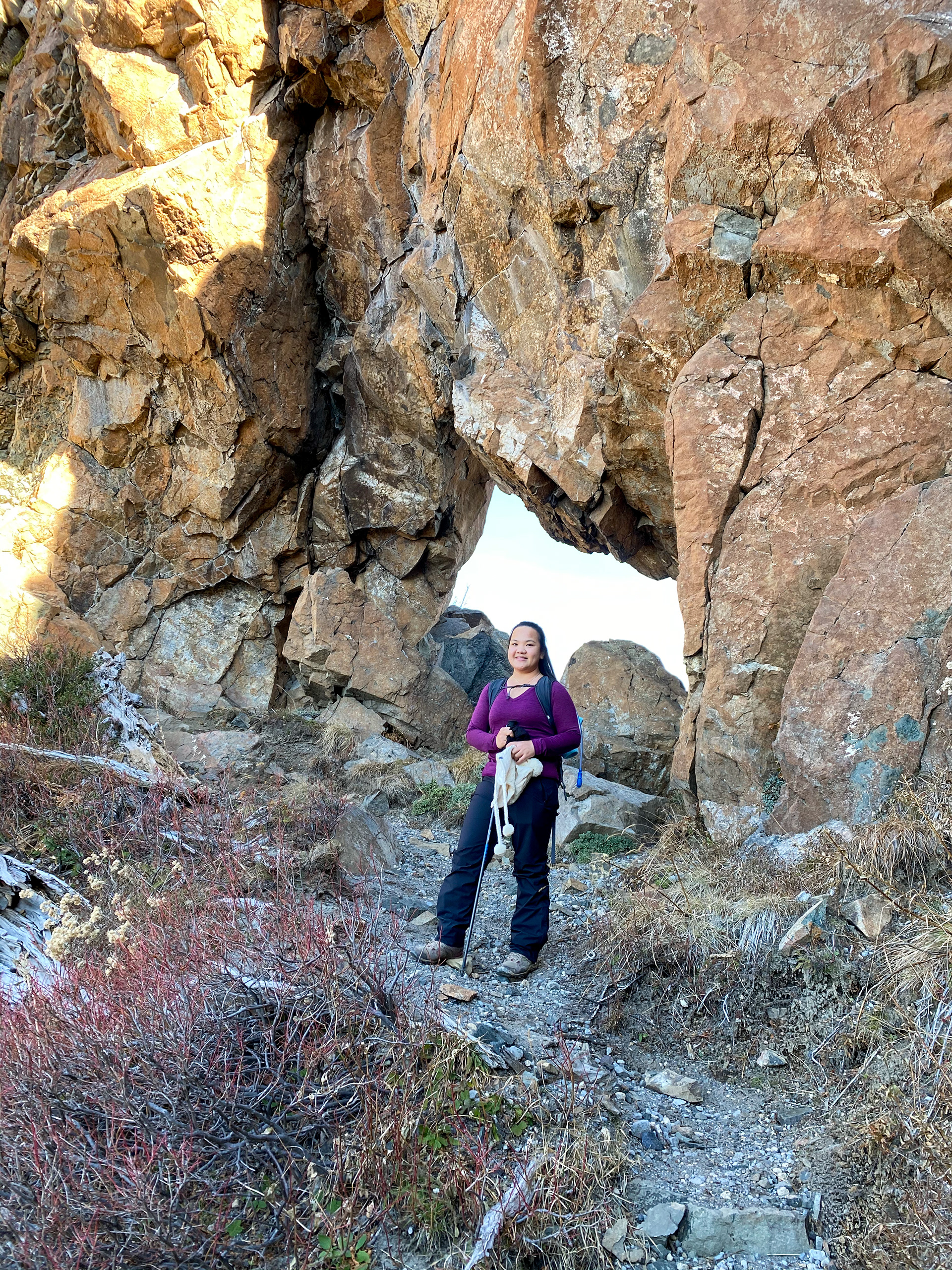


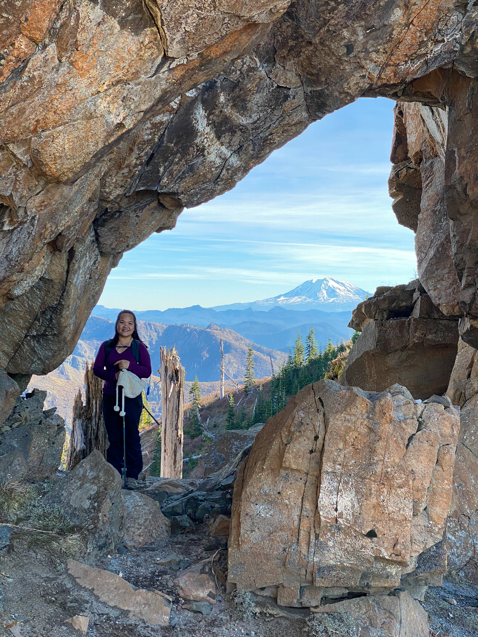
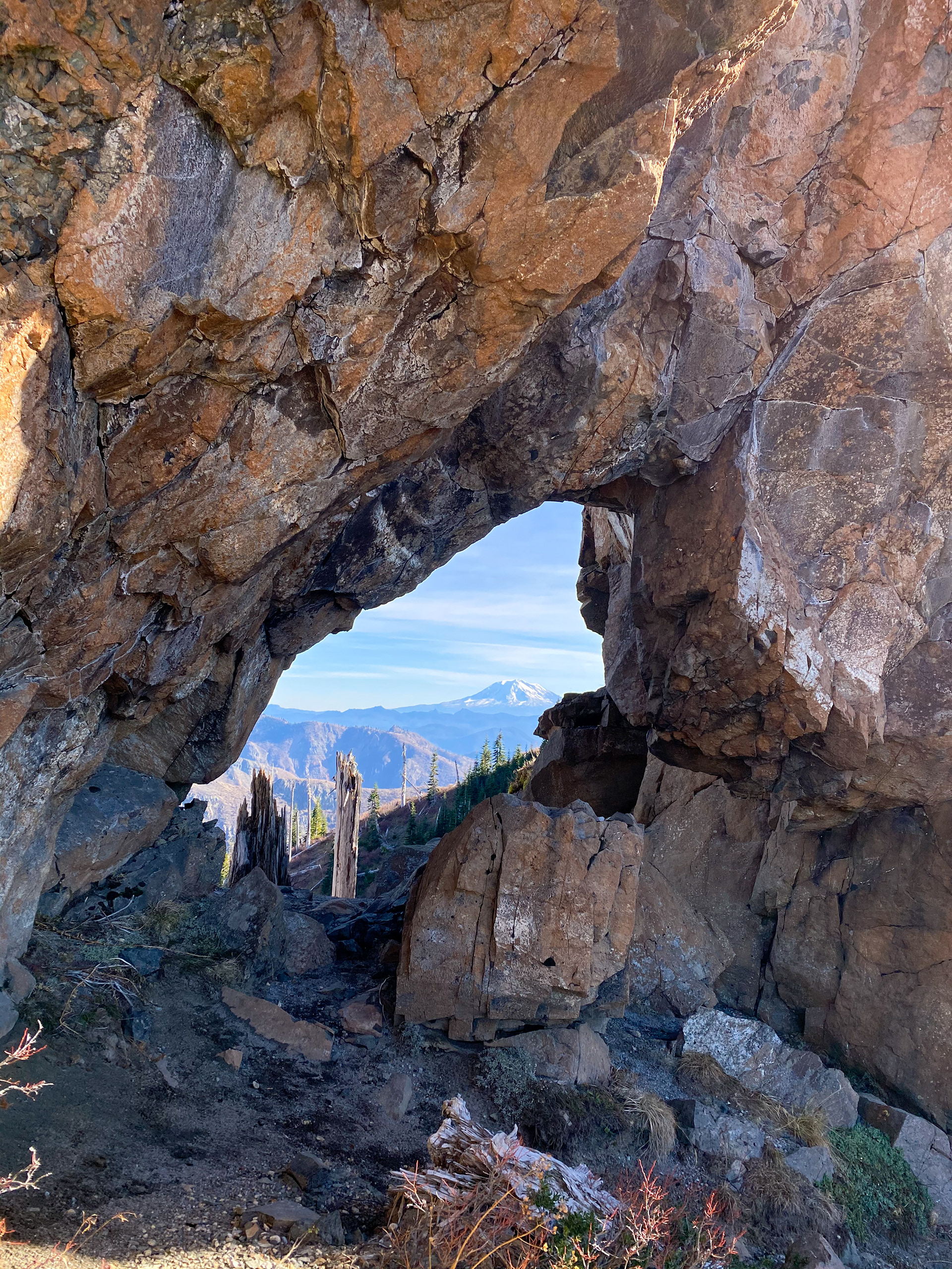
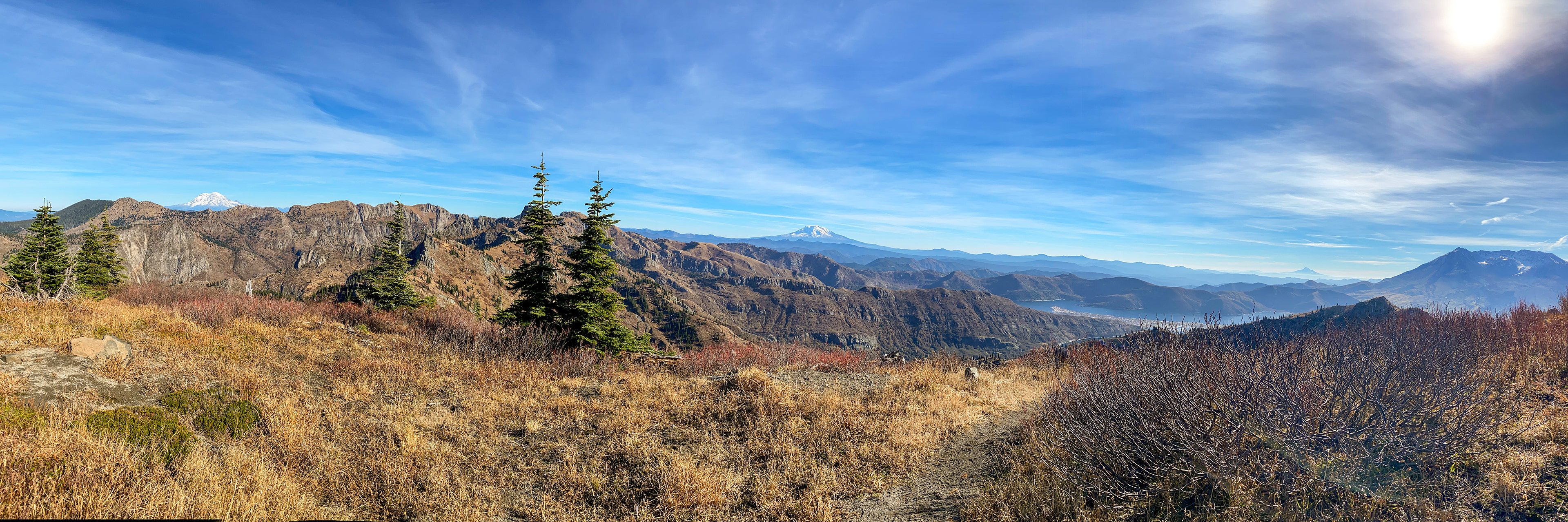

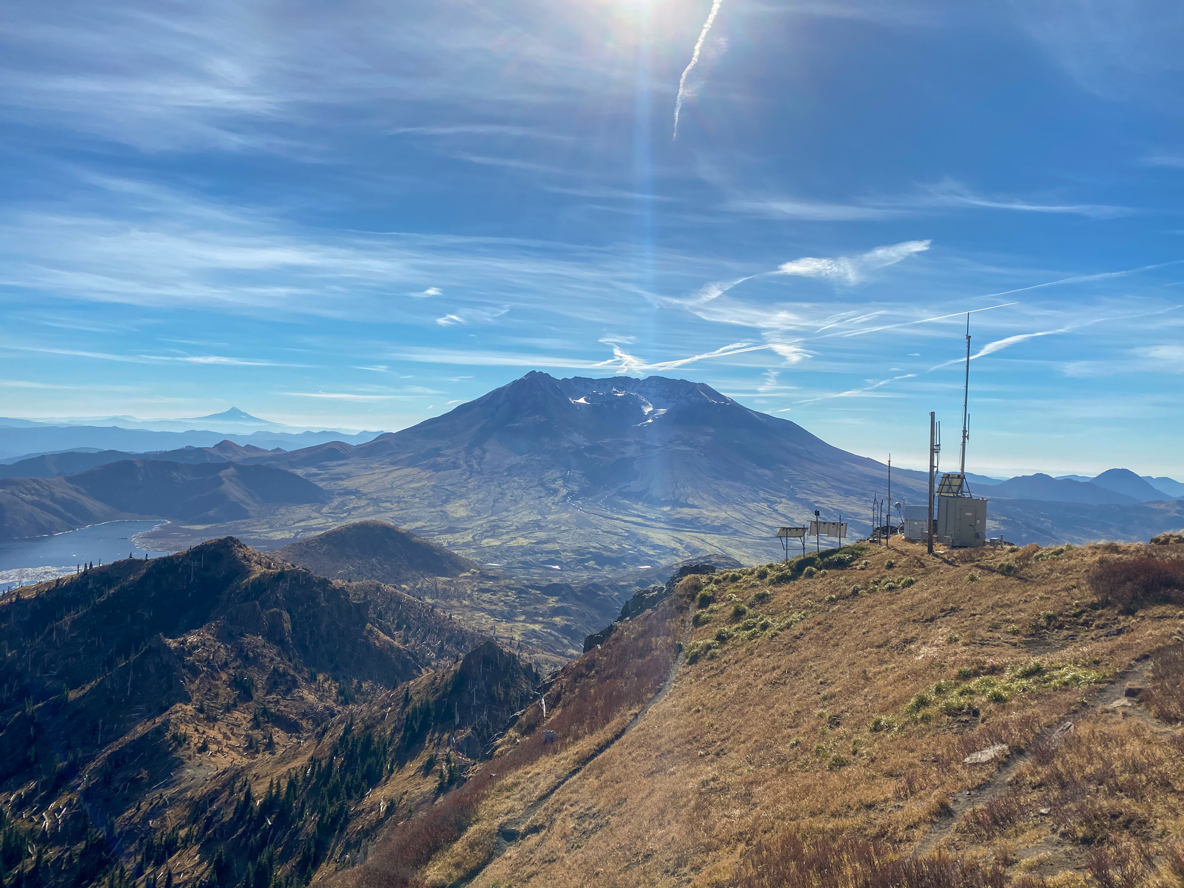

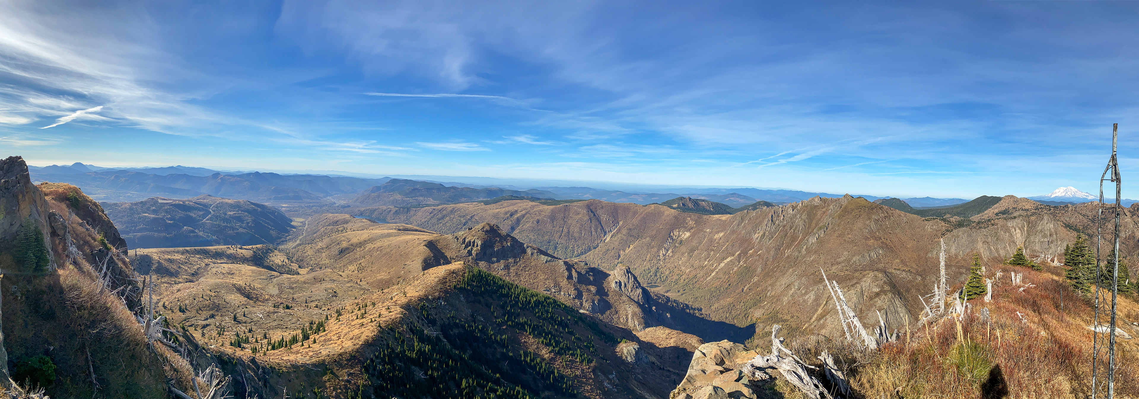
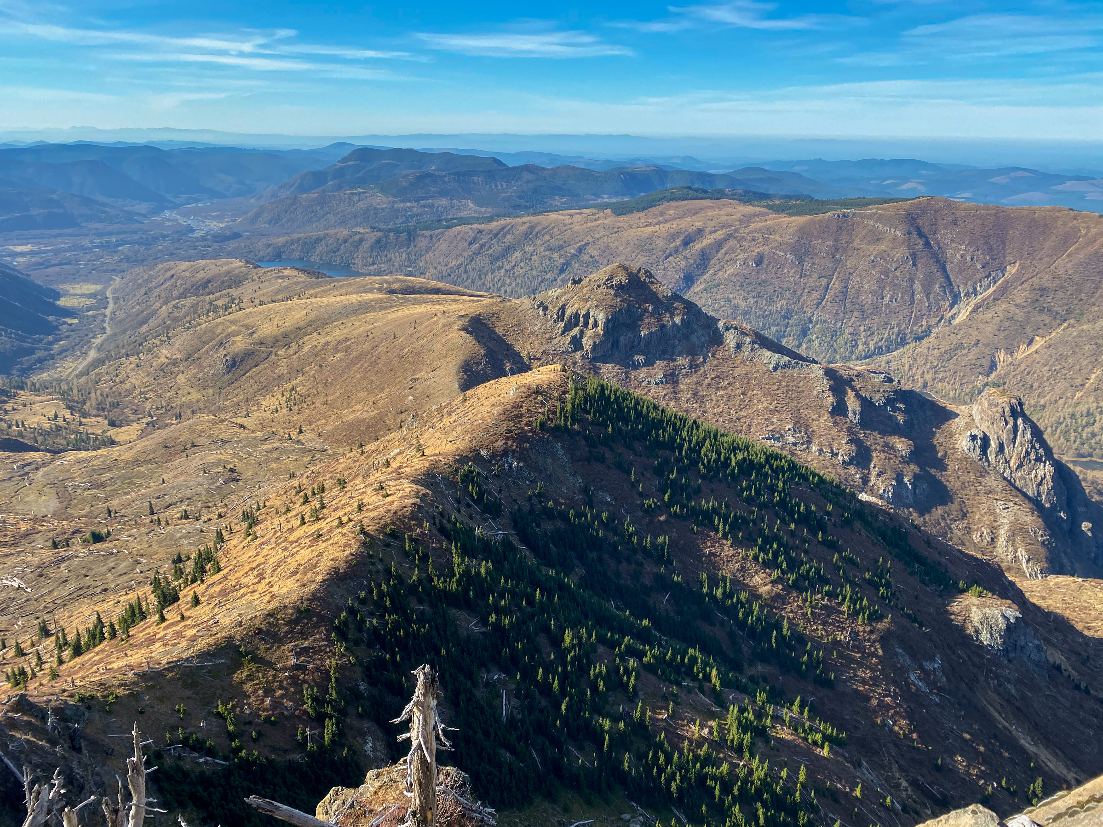


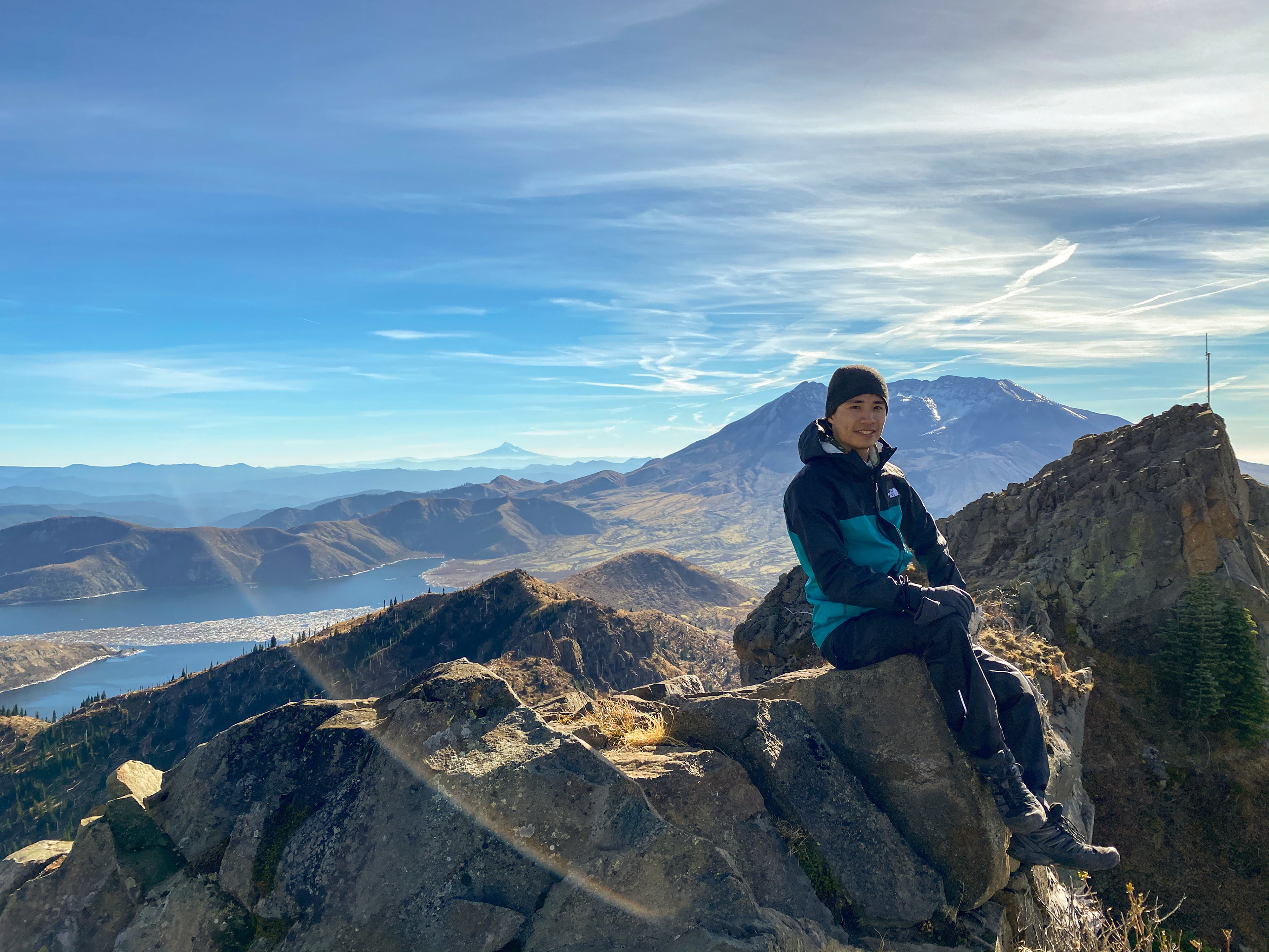


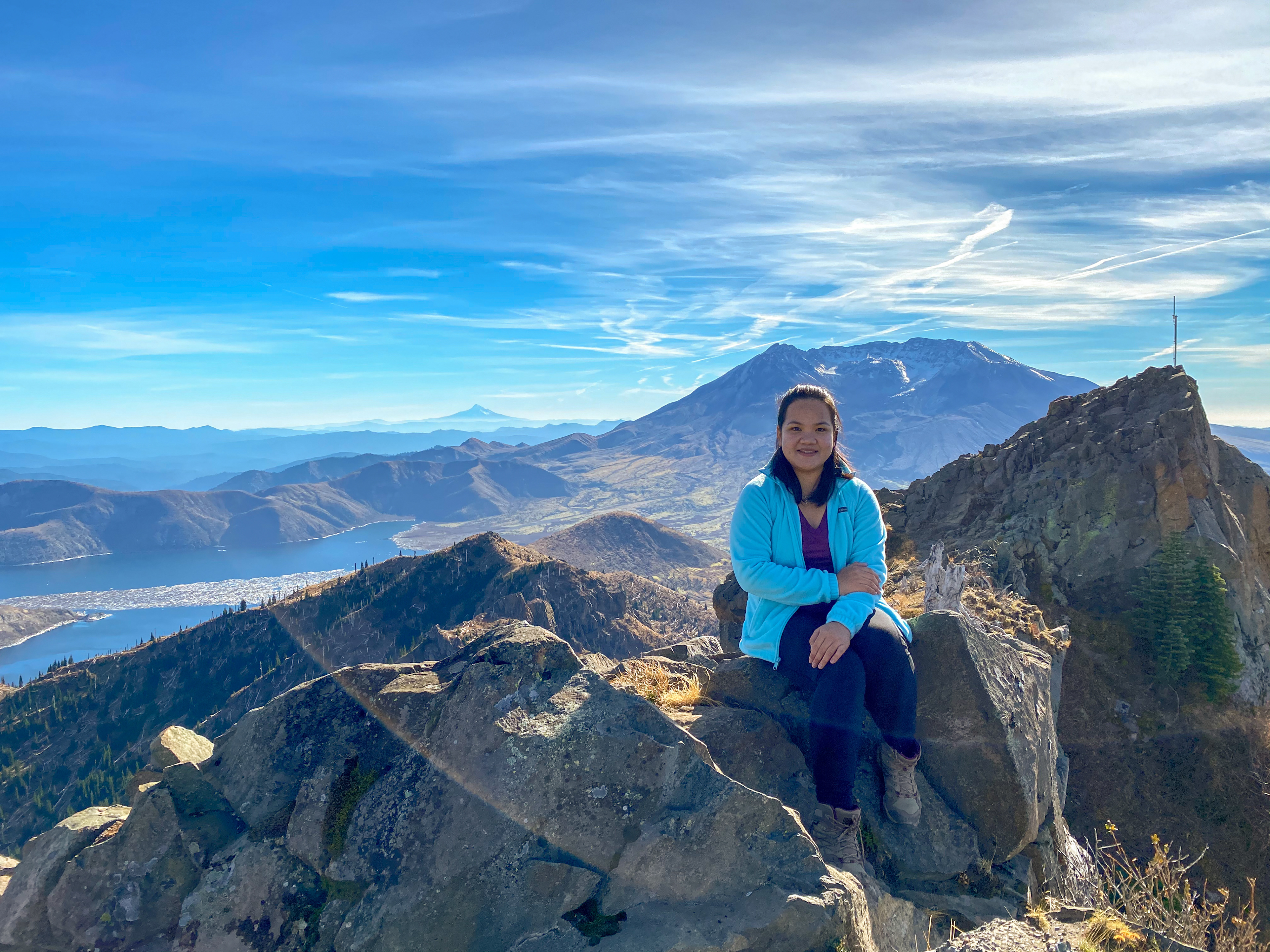
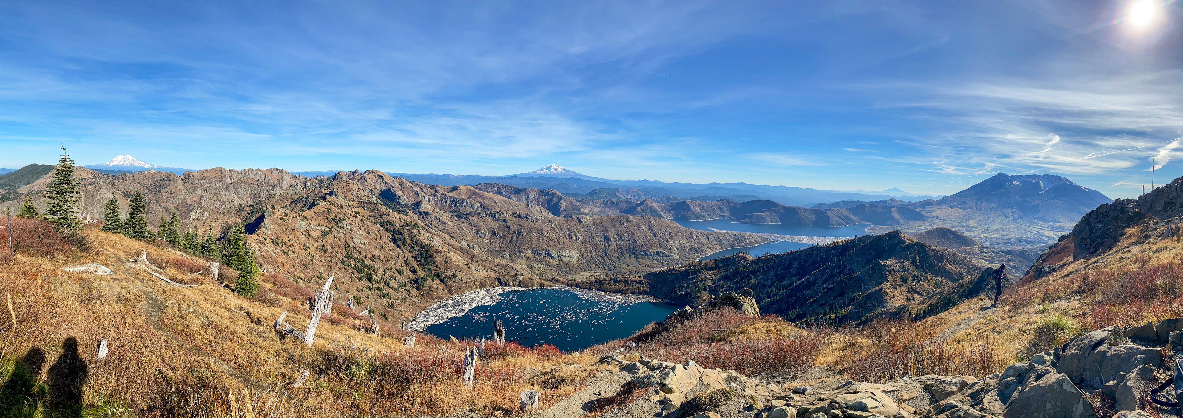

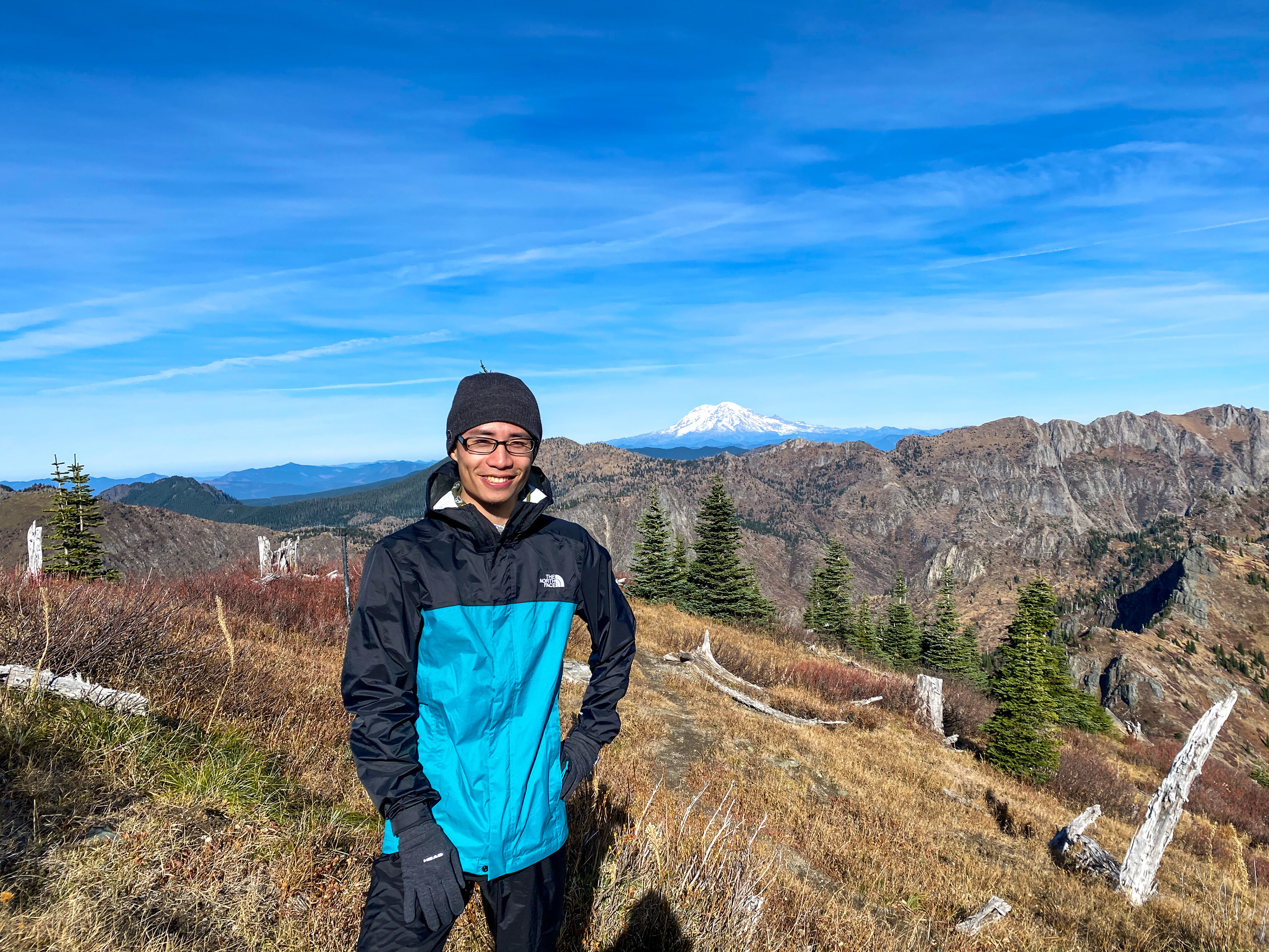

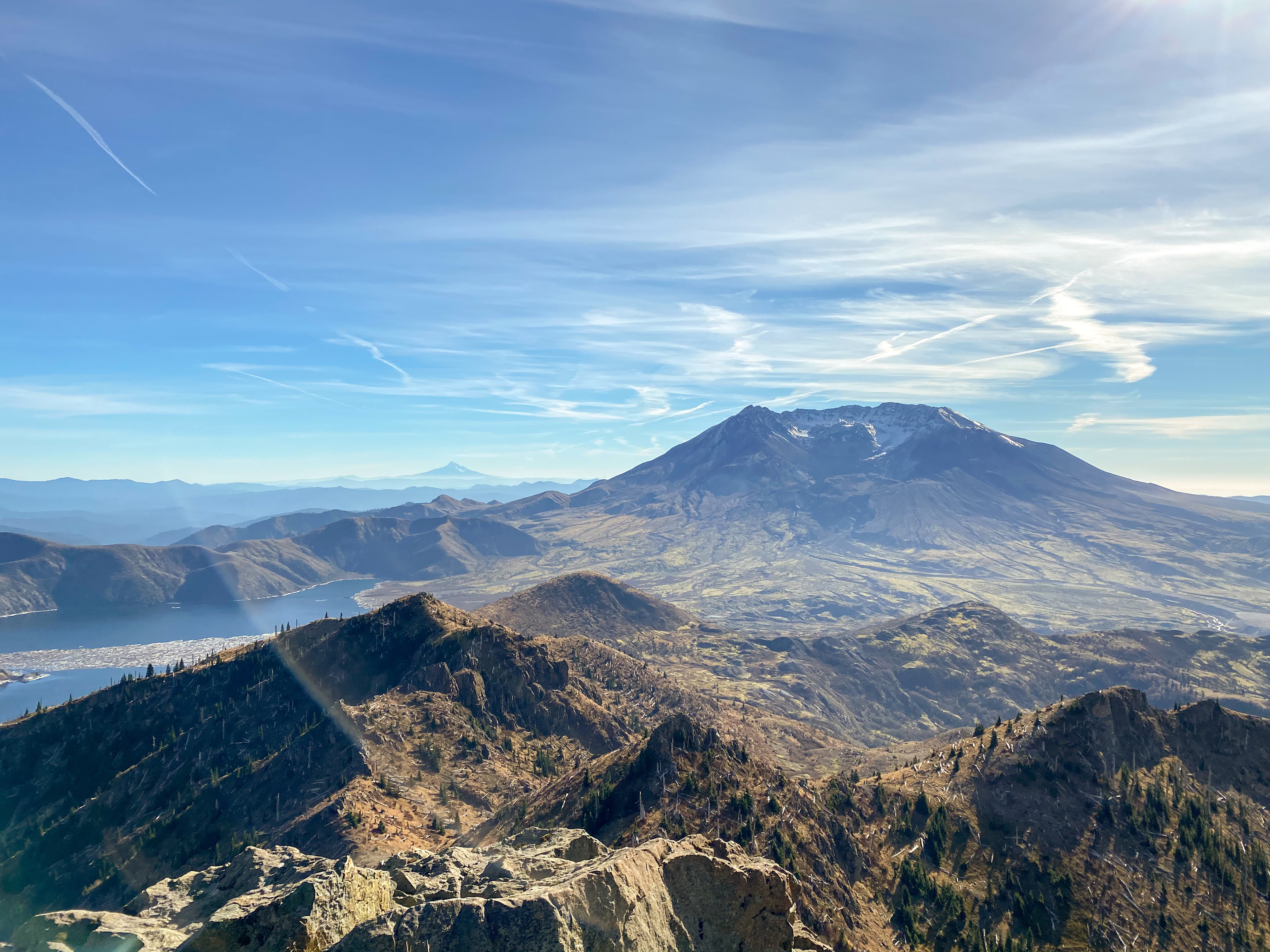
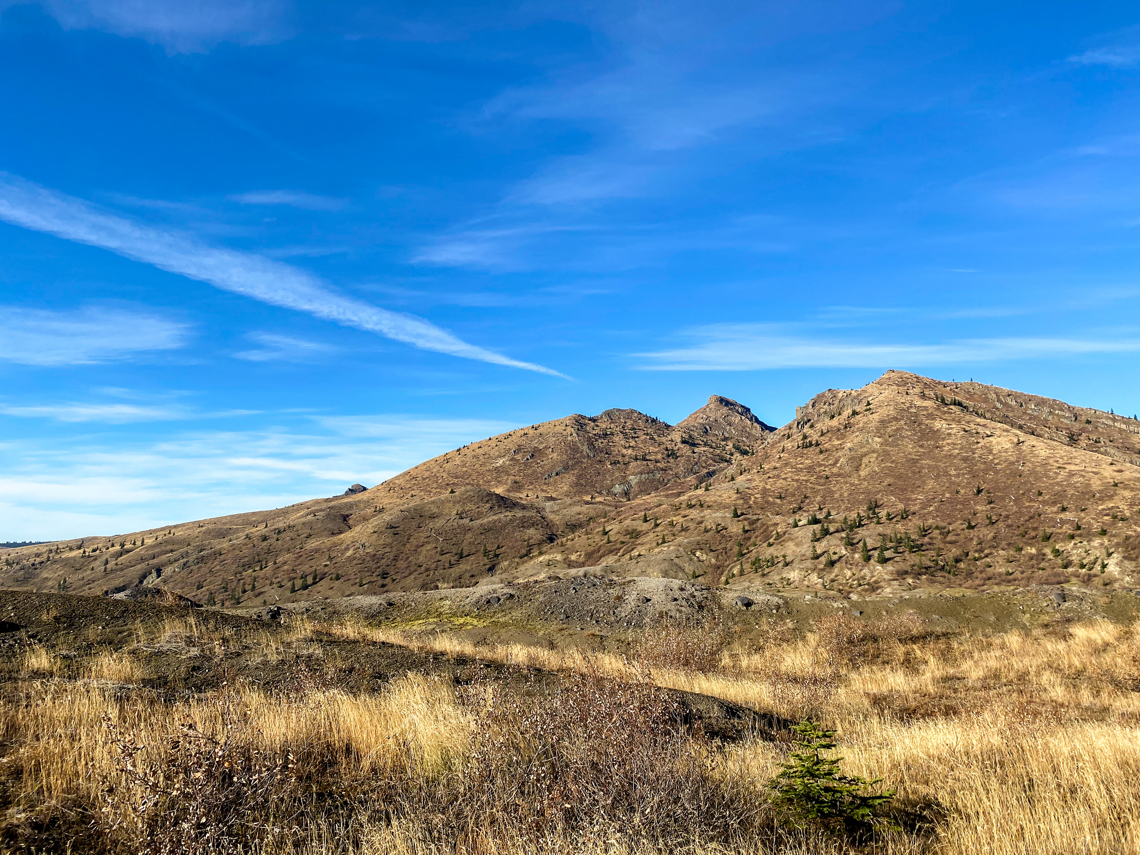
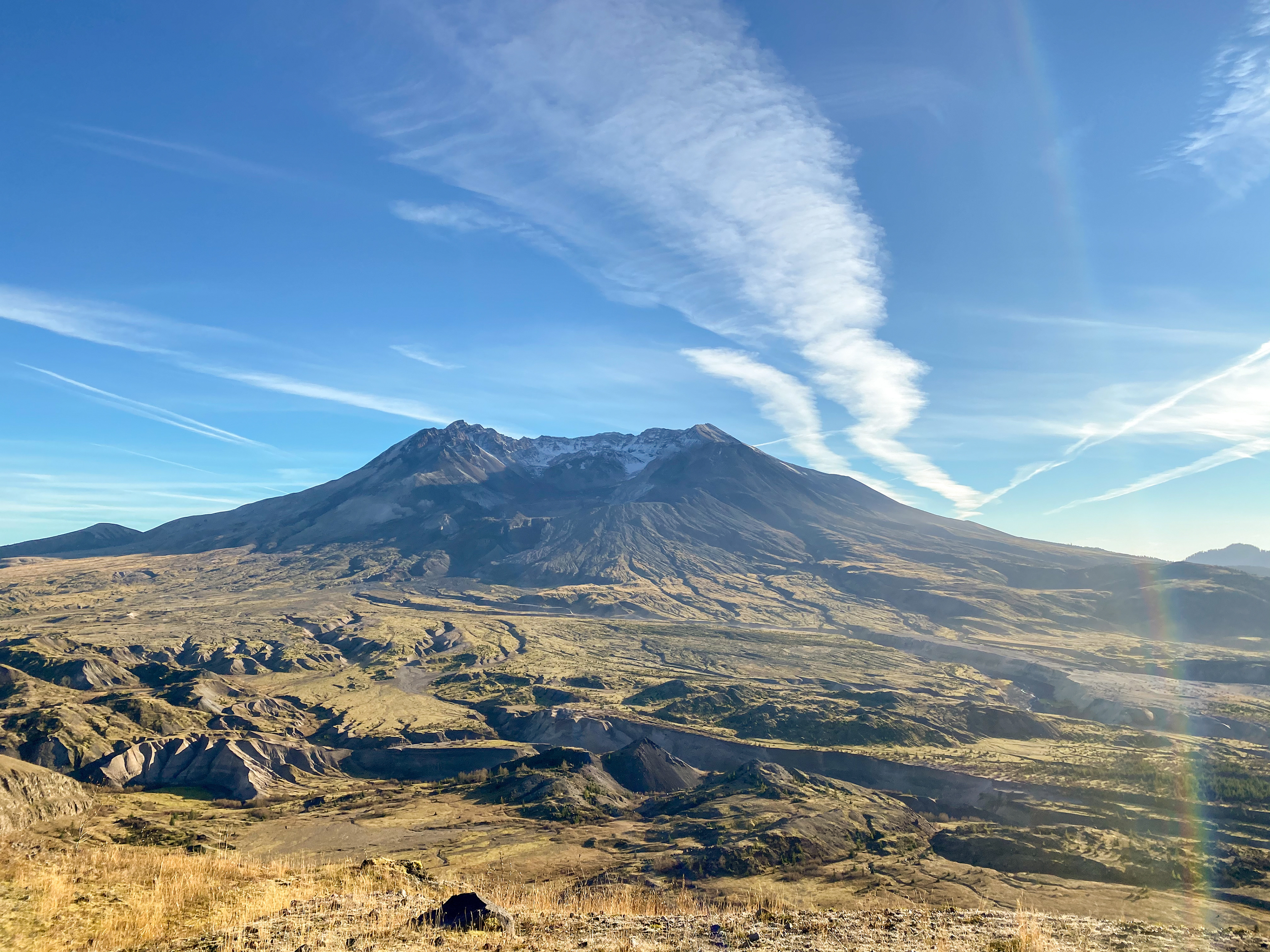

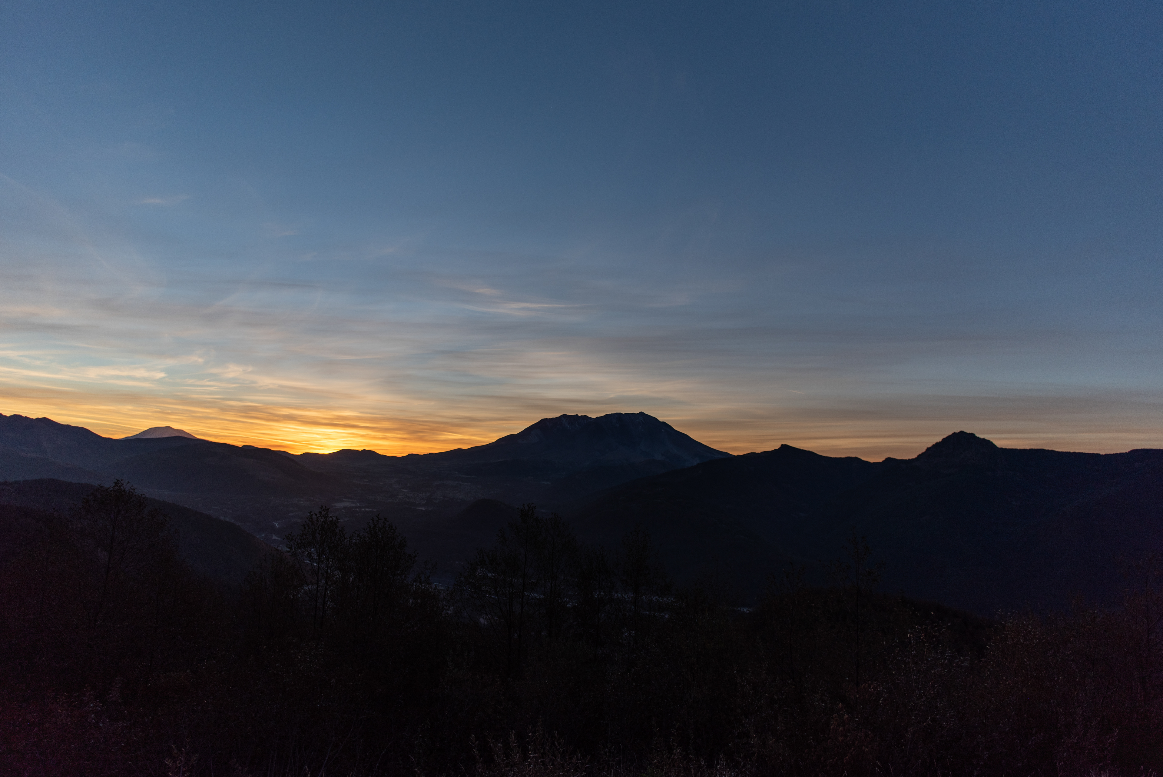

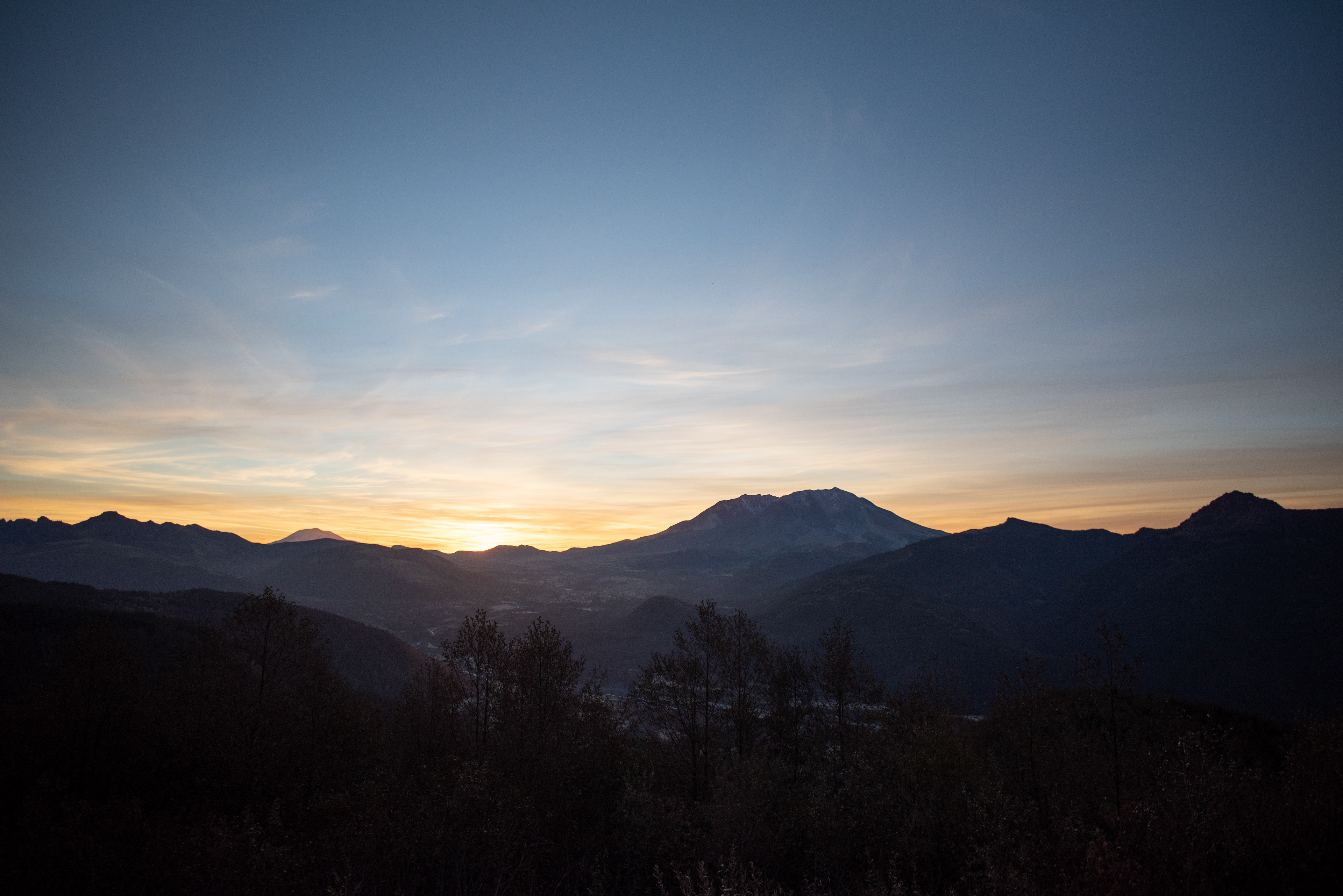
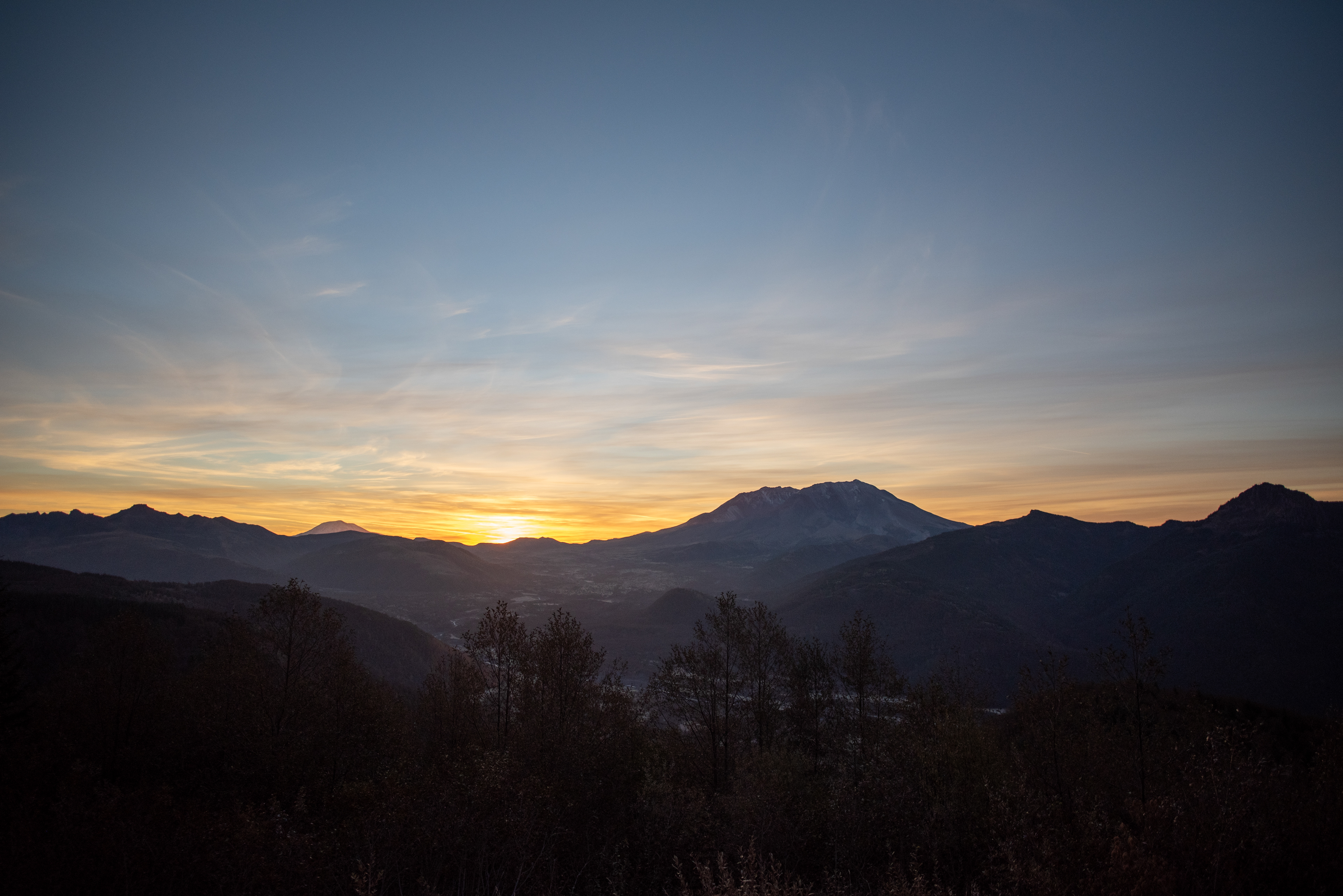

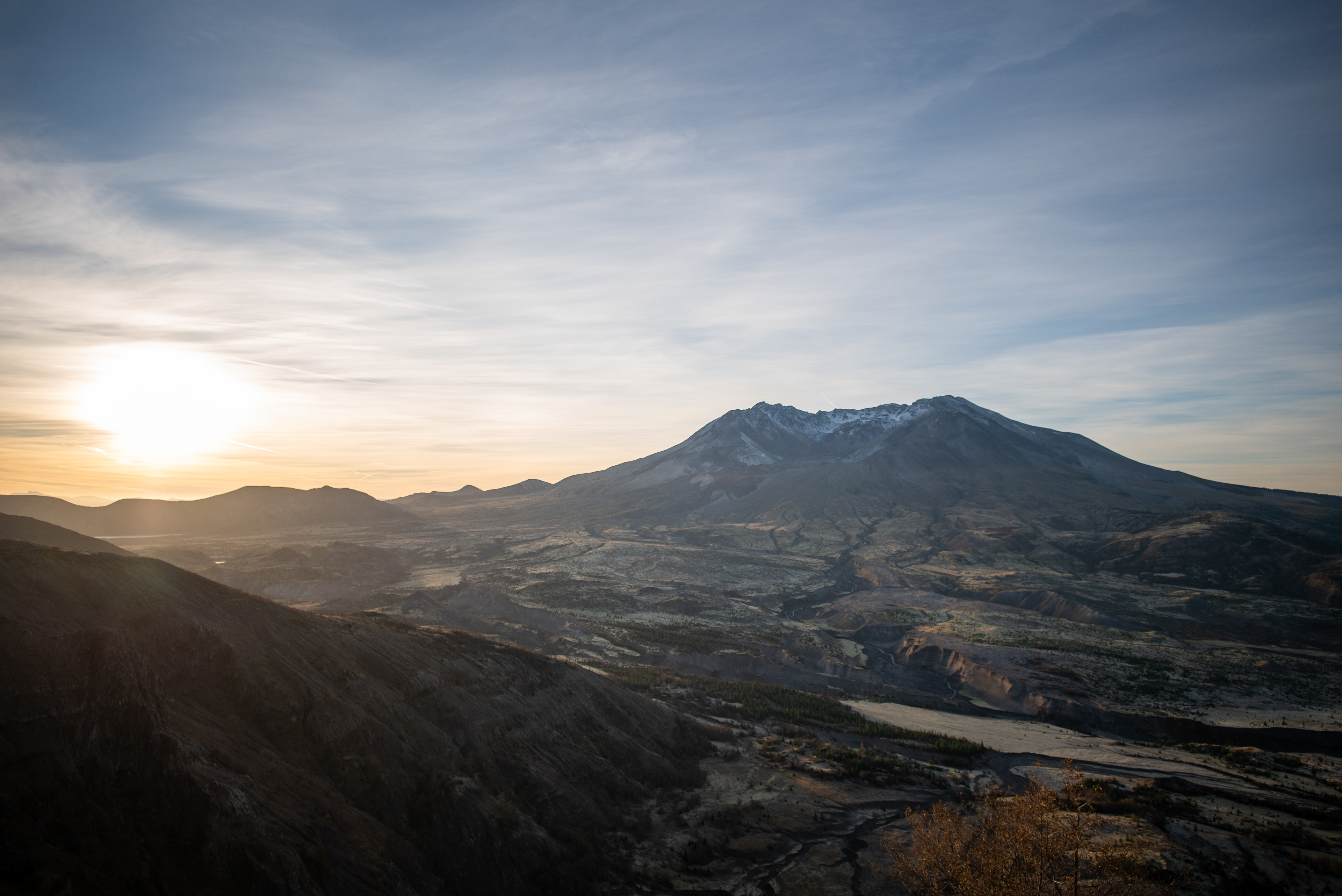


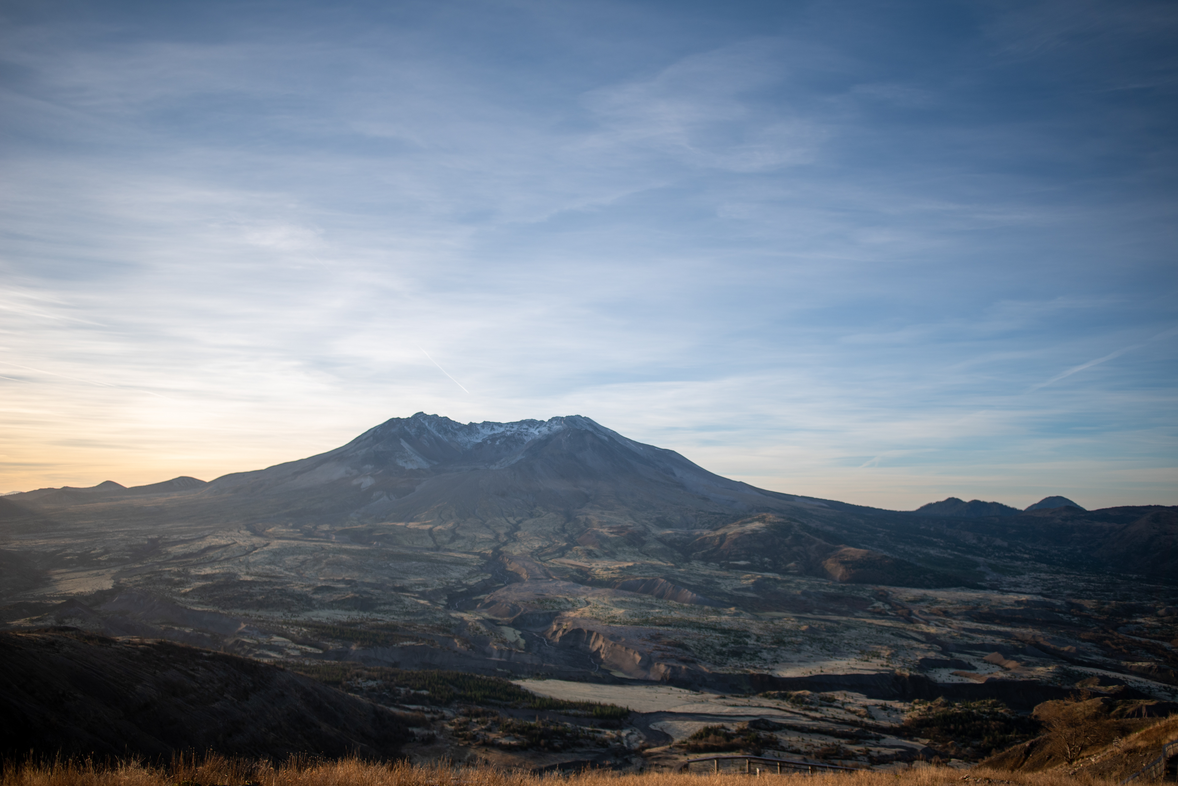
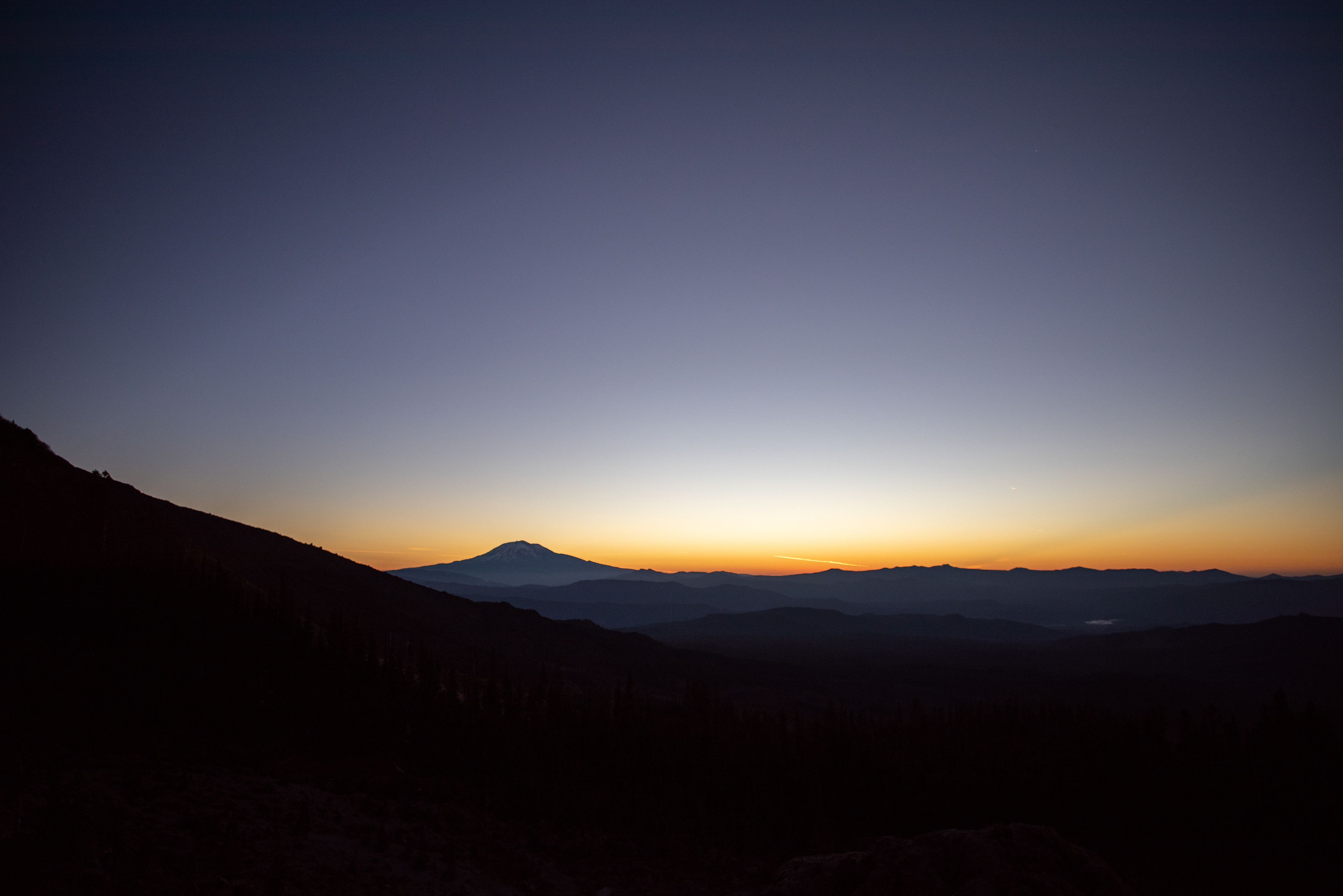

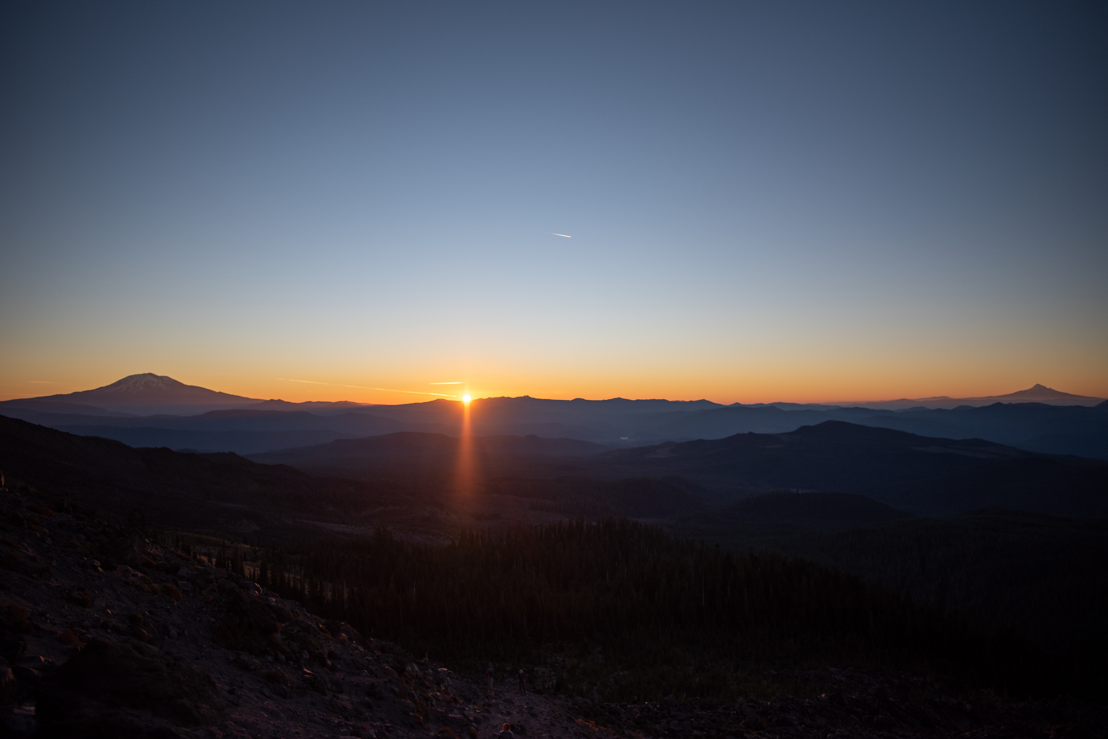
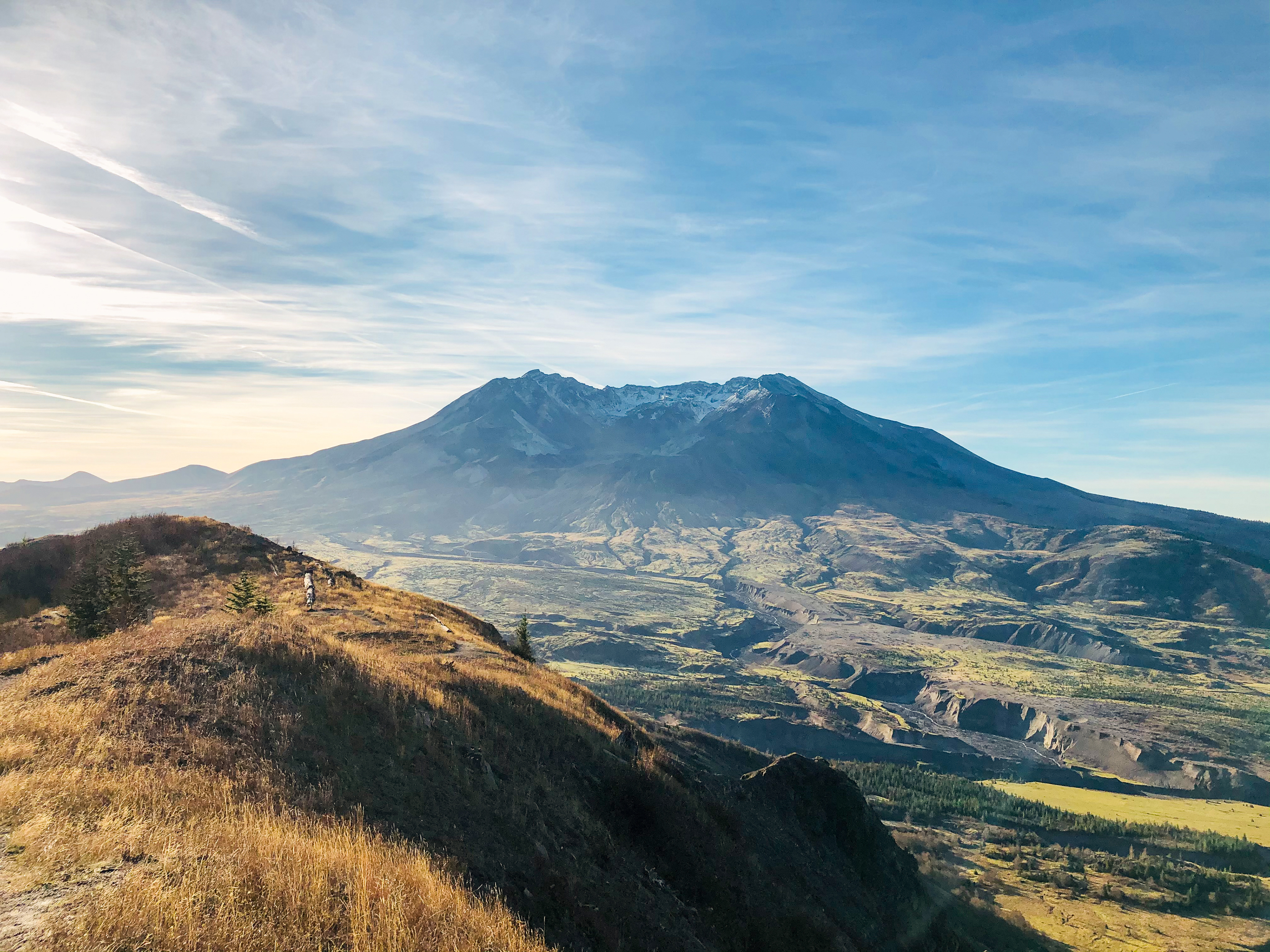
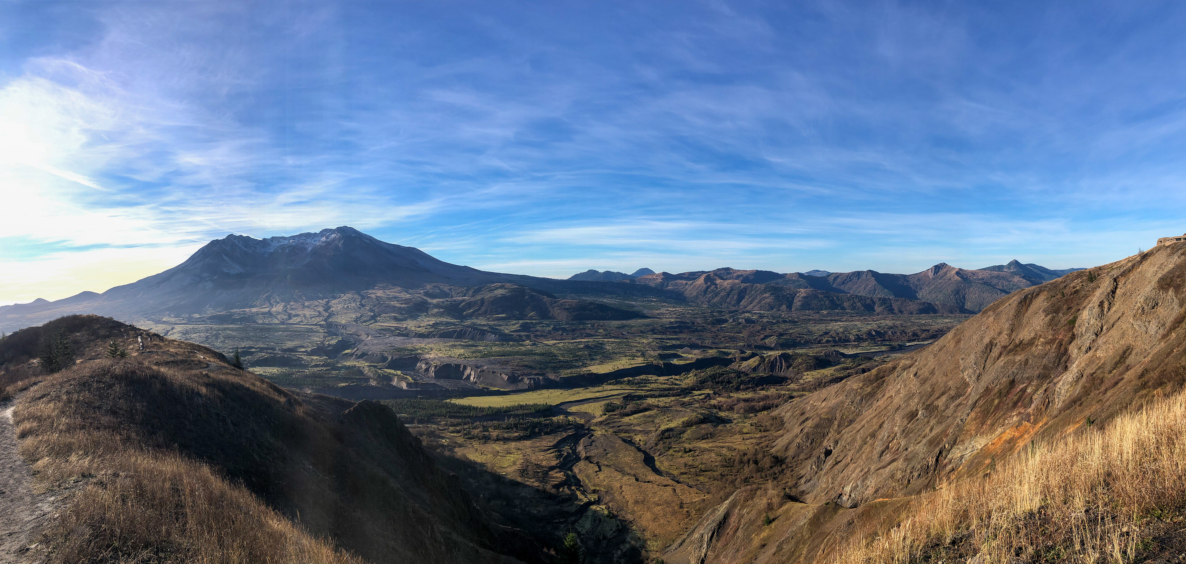
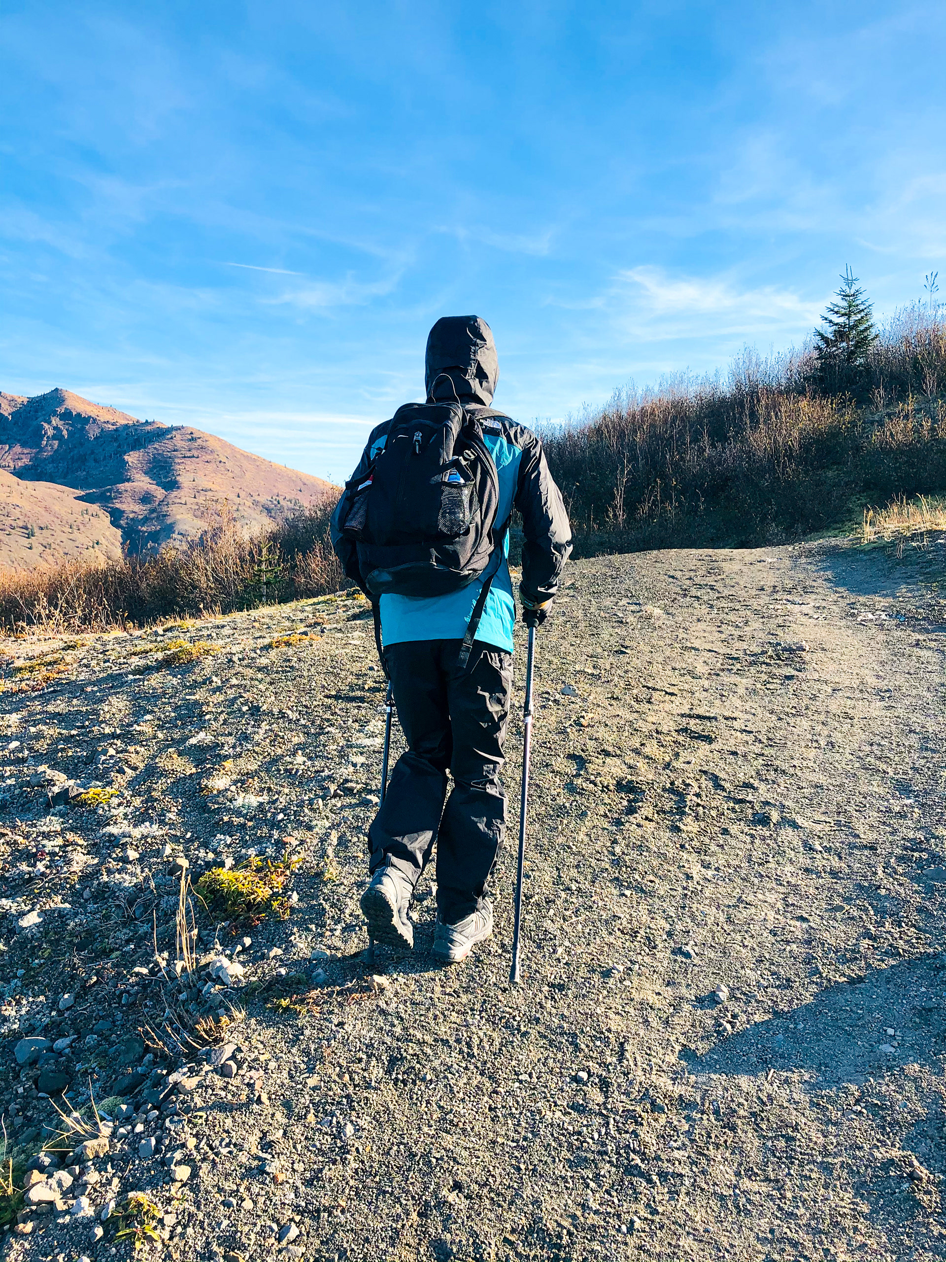
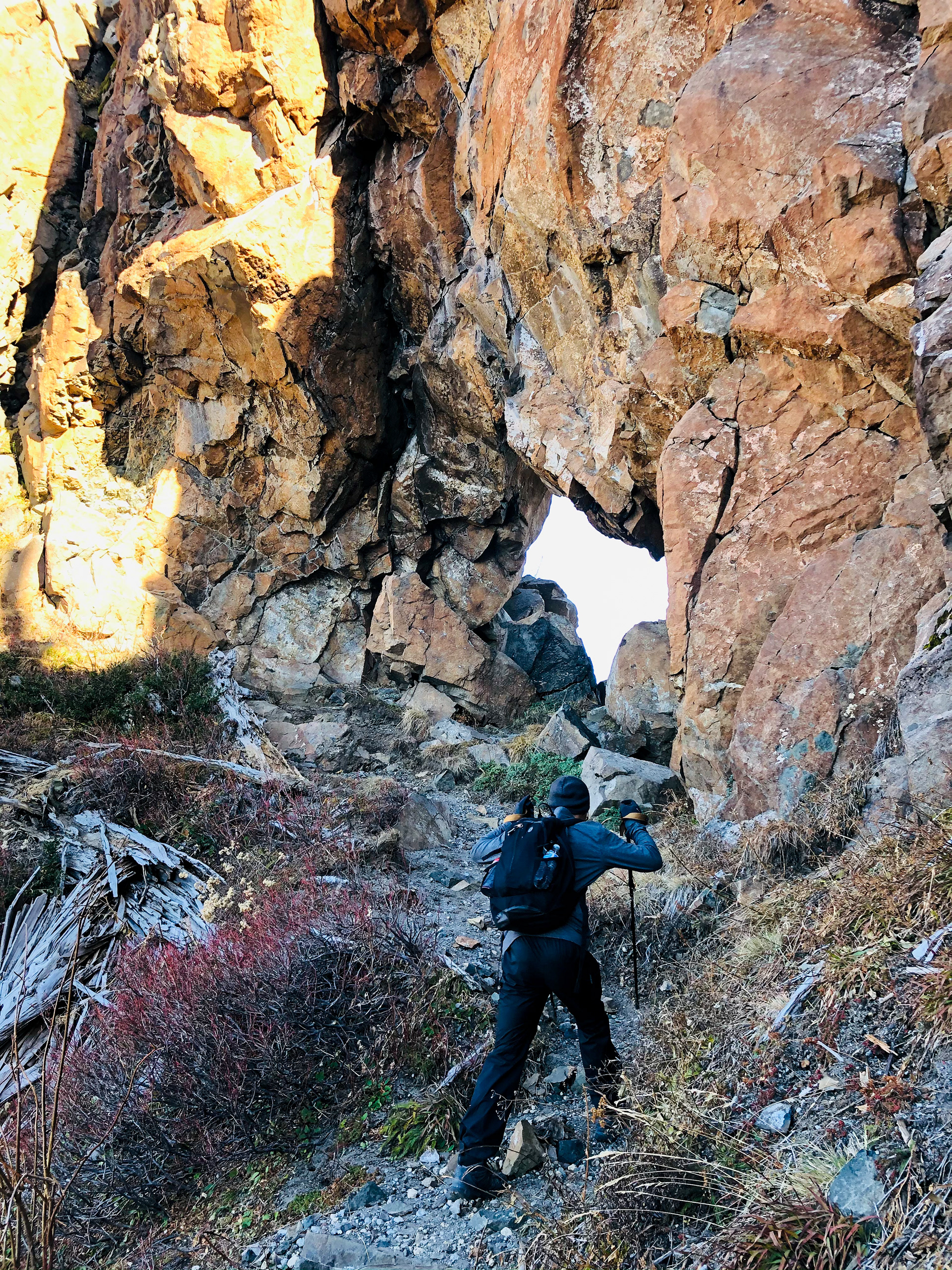
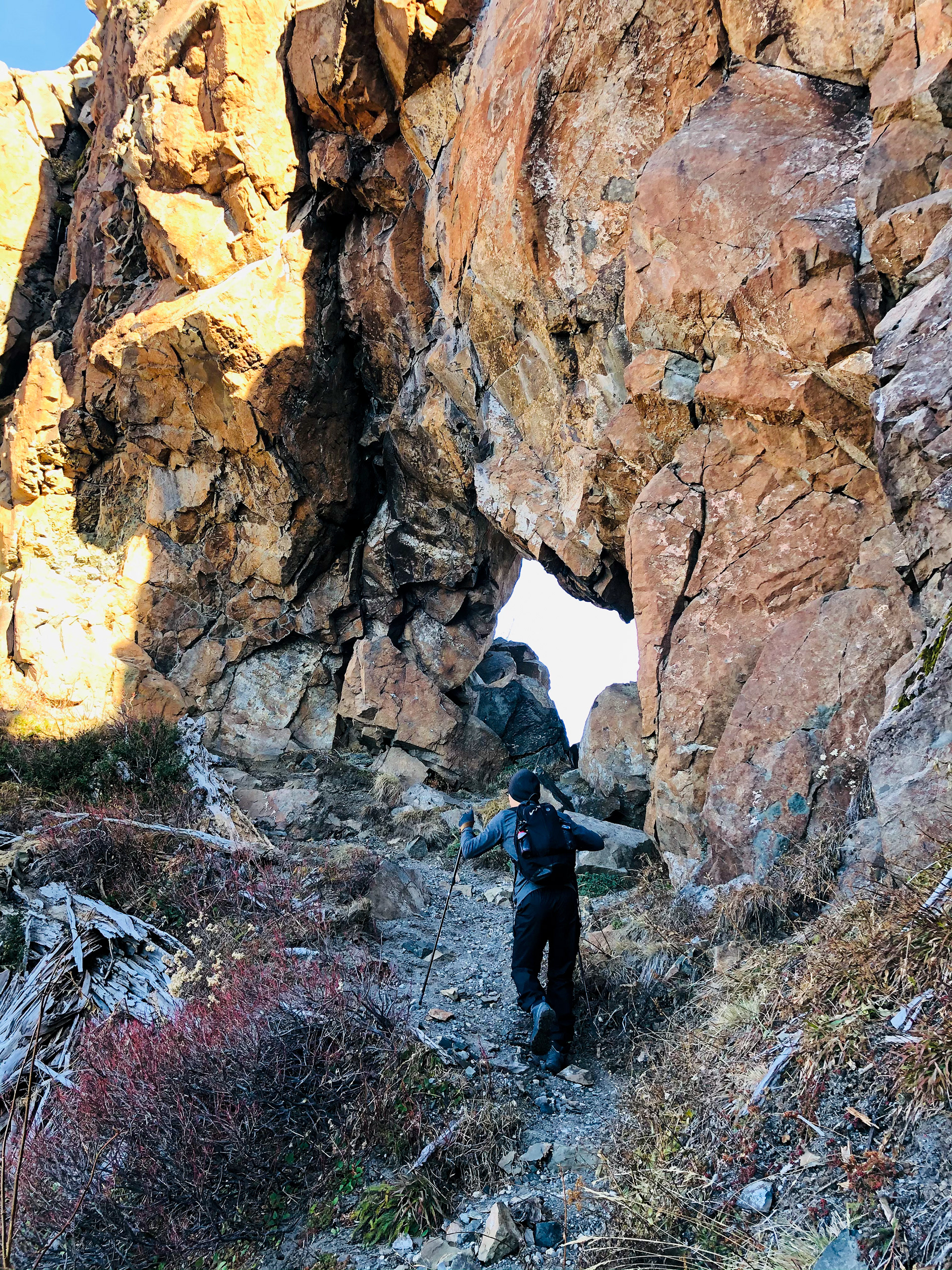
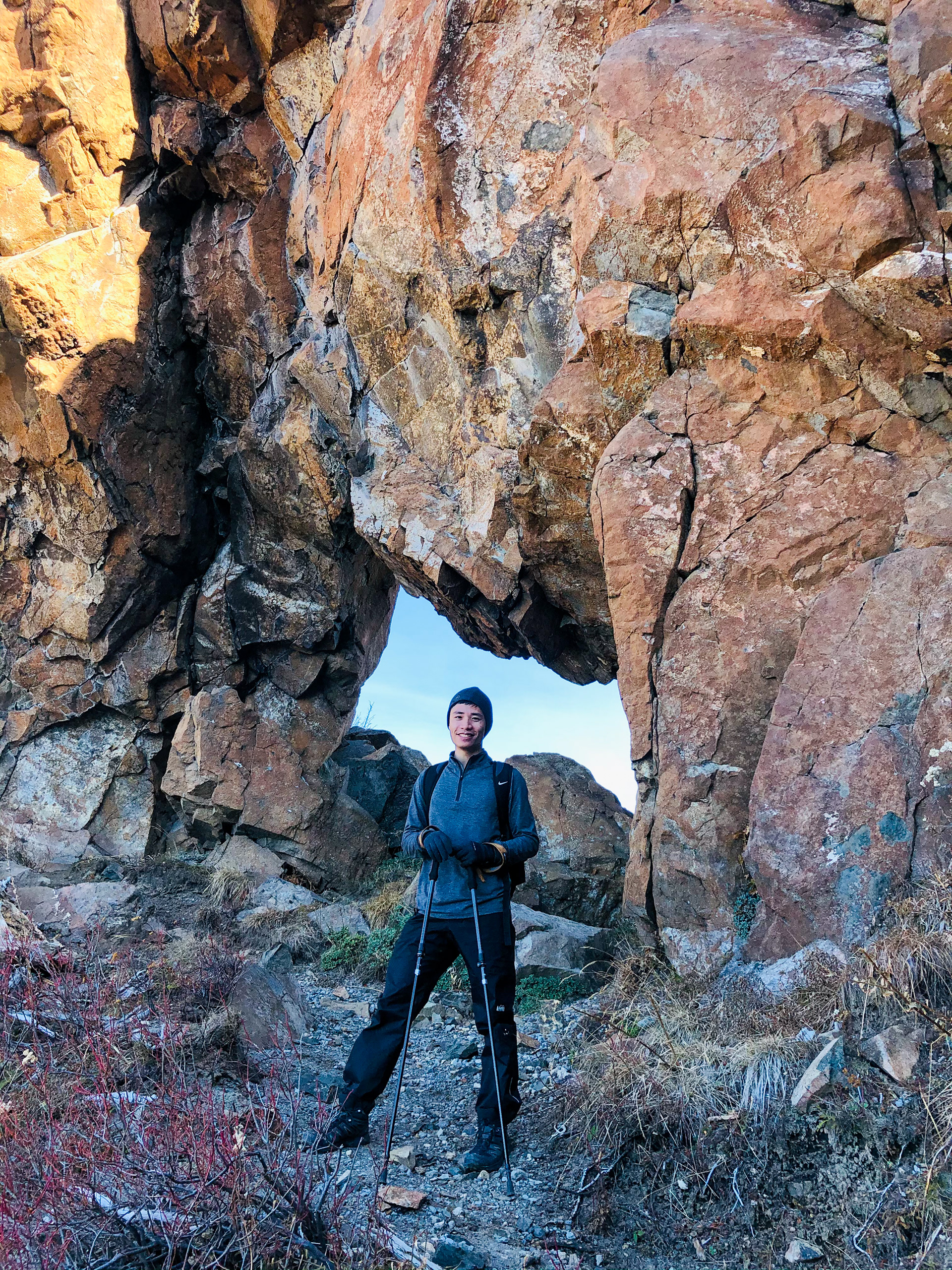
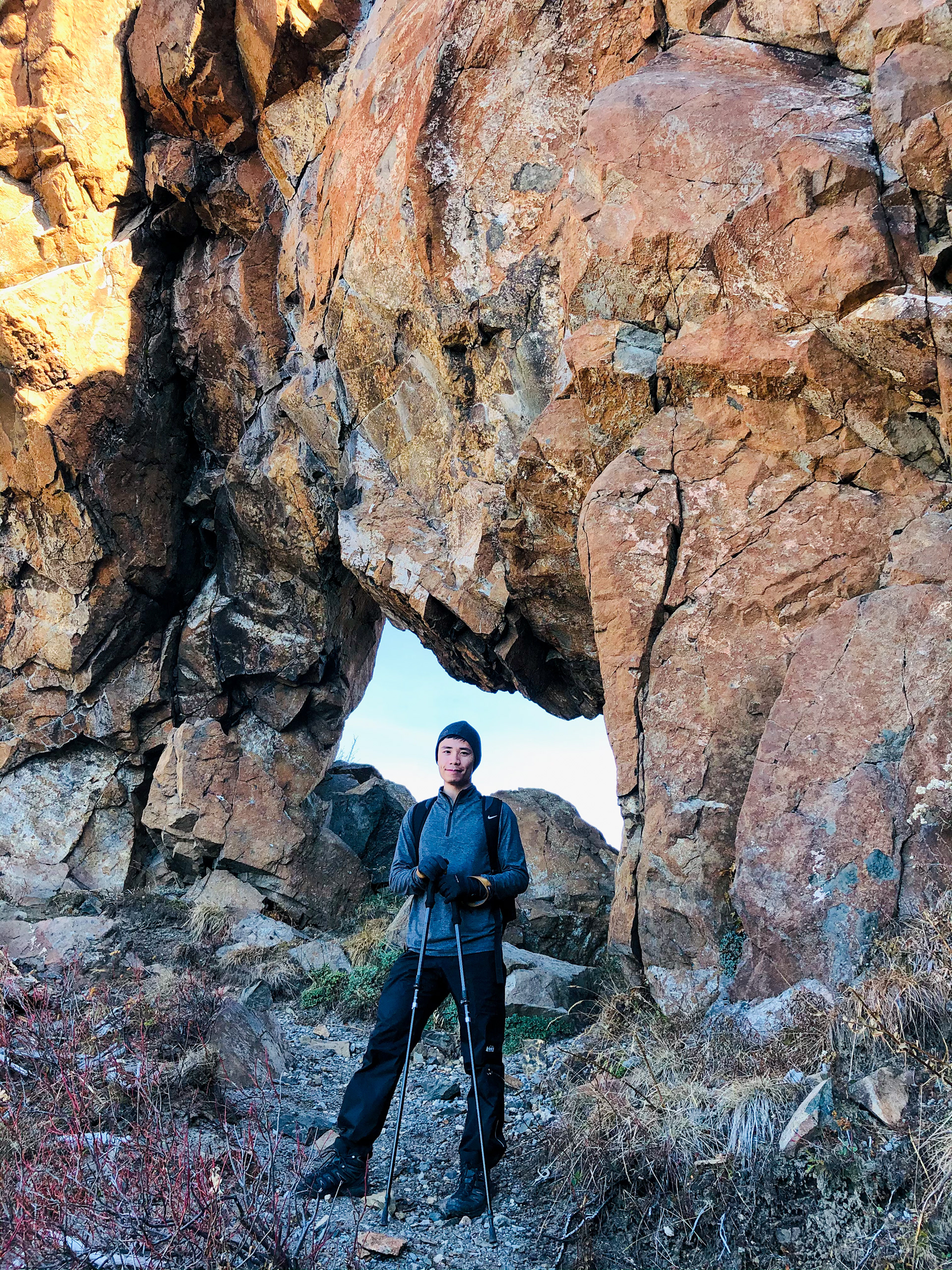
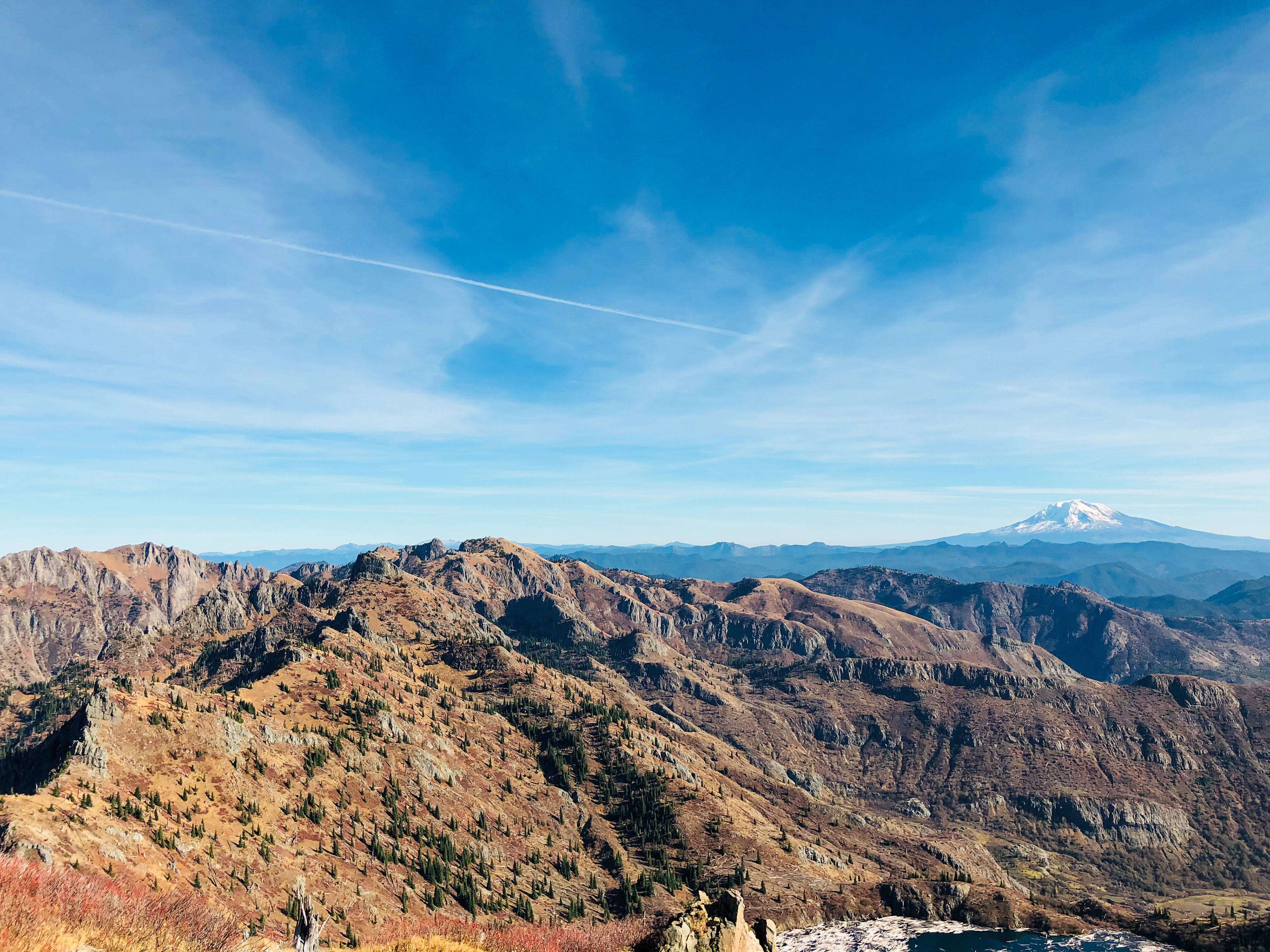
“The hike to Coldwater Peak offers some of the best panoramas inside the Mount Saint Helens blast zone. Beginning at the Johnston Ridge Observatory, the hike will take hikers along the eastern crest of the ridge to get commanding views across the Pumice Plain to the breach, down to completely displaced Spirit Lake, east to Mount Adams, and north to Coldwater Peak, the Dome, and Mount Margaret. Along the way, people will see a memorial to those who died, read interpretive signs about the cataclysm, detour to the Devil’s Elbow Viewpoint, and cross the Spillover, where the landslide flowed over the ridge itself. Turning north, hikers will start gaining elevation and, after passing through the Saint Helens Lake Arch, get continuous views of beautiful, secluded Saint Helens Lake. Ascending the slope of Coldwater Peak, Mount Rainier heaves into view and you can see to the coastal hills.” (Fun facts: Johnston Ridge is named after David A. Johnston, the USGS volcanologist who was killed while monitoring the blast, and Harrys Ridge honors Harry R. Truman, the cantankerous 83-year-old owner of the Mt. St. Helens Lodge at Spirit Lake who refused to evacuate the blast zone and was buried, with his lodge and 16 cats, under tons of pyroclastic debris.) [4Feet]: The goal of this weekend is to finish our unfinished business of the summit attempt of Mount Saint Helens from two weeks ago. As the acquisition of climbing (for Mt. St. Helens summit) and camping permits was unlikely to occur, we decided to wait until the restriction of 100 hikers a day was loosen after Halloween. The first permit-free day happened to be on Sunday, and we would like to do a bit more than just summit attempt this weekend – Coldwater Peak via Boundary Trail. Located roughly 7 miles due north of Mt. St. Helens, Coldwater Peak caught the brunt of the 1980 eruption. The southwest slopes are a wasteland while the ridge running mainly east-west to its south appears to have sheltered its eastern slopes to a degree. The trail was clean and well-maintained with tree branches on the sides and icy ash underfoot. As the season changes, leaves turn brown and fade, and vegetation there seems to slip away. A 14-mile out and back summit hike without much green may not sound appetizing, yet the view overhead along the trial could easily steal your breath. The trail follows Johnston Ridge eastward in such a way that we got outstanding views of Mt St Helens to the south, Harry's Ridge to the east, and Coldwater Peak to the north. At a final elevation of 5,727 feet, the Coldwater Peak trail covers decent miles with roughly 2,800 feet in total elevation gain. On top of the peak, we were granted a 360-degree spectacular view of Spirit Lake, St Helens Lake, Mount St Helens, Adams, Rainier, Hood, and even Jefferson. The weather had been beautiful and sunny throughout the weekend. The temperature was around 45 degrees Fahrenheit with a gentle wind. It could be cold if we stood still, yet we felt roasted in the last one mile of the significant uphill. It is extremely important to note that the entire duration of the hike is what's referred to as a “dry trail”, meaning there is no access to water along the way and all water must be carried in from the trailhead. Plus, no restroom is available in the parking lot. The Johnston Ridge Observatory remained closed due to the COVID-19 pandemic. Recommend emptying your bladder before your arrival. 10/31/2020


