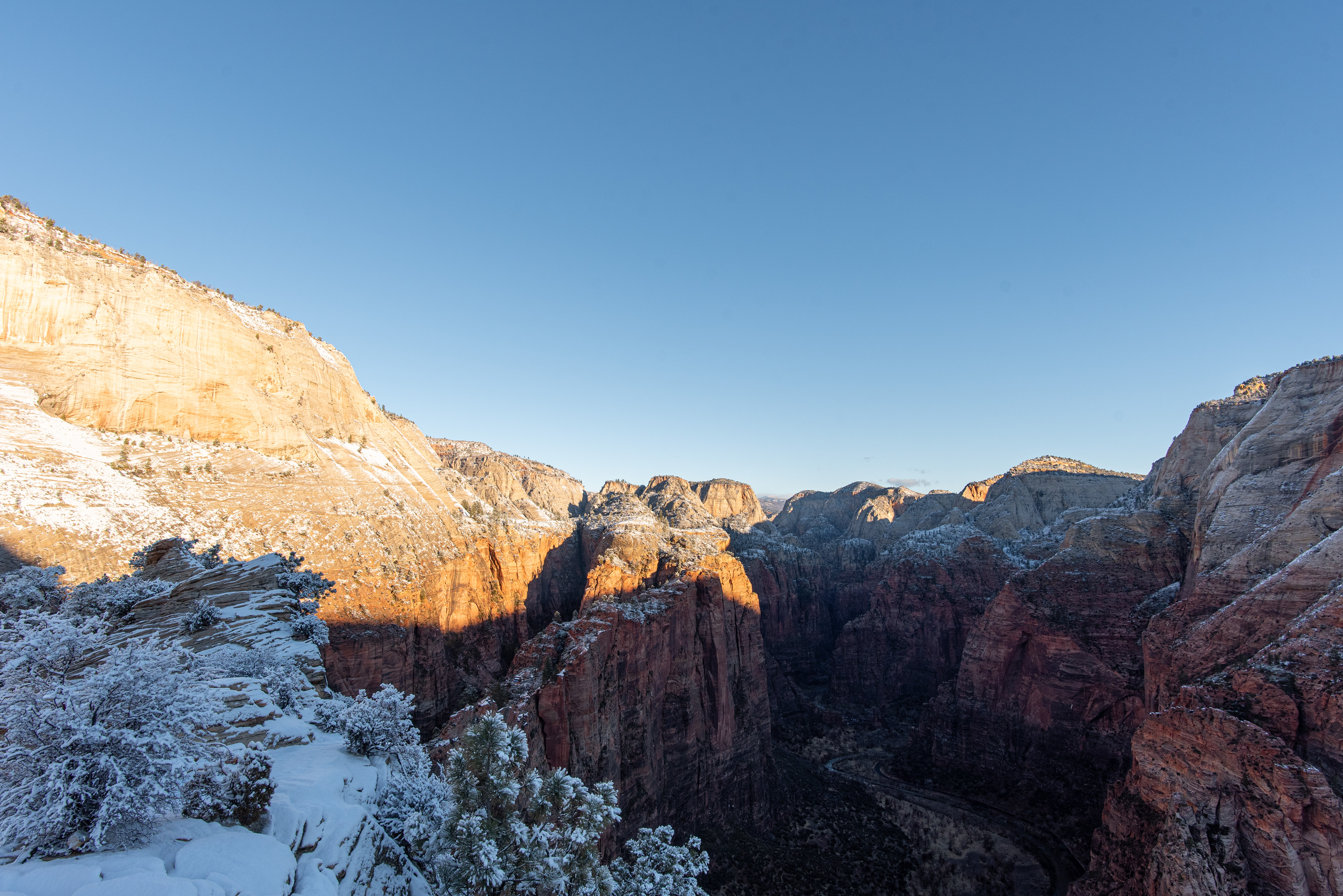

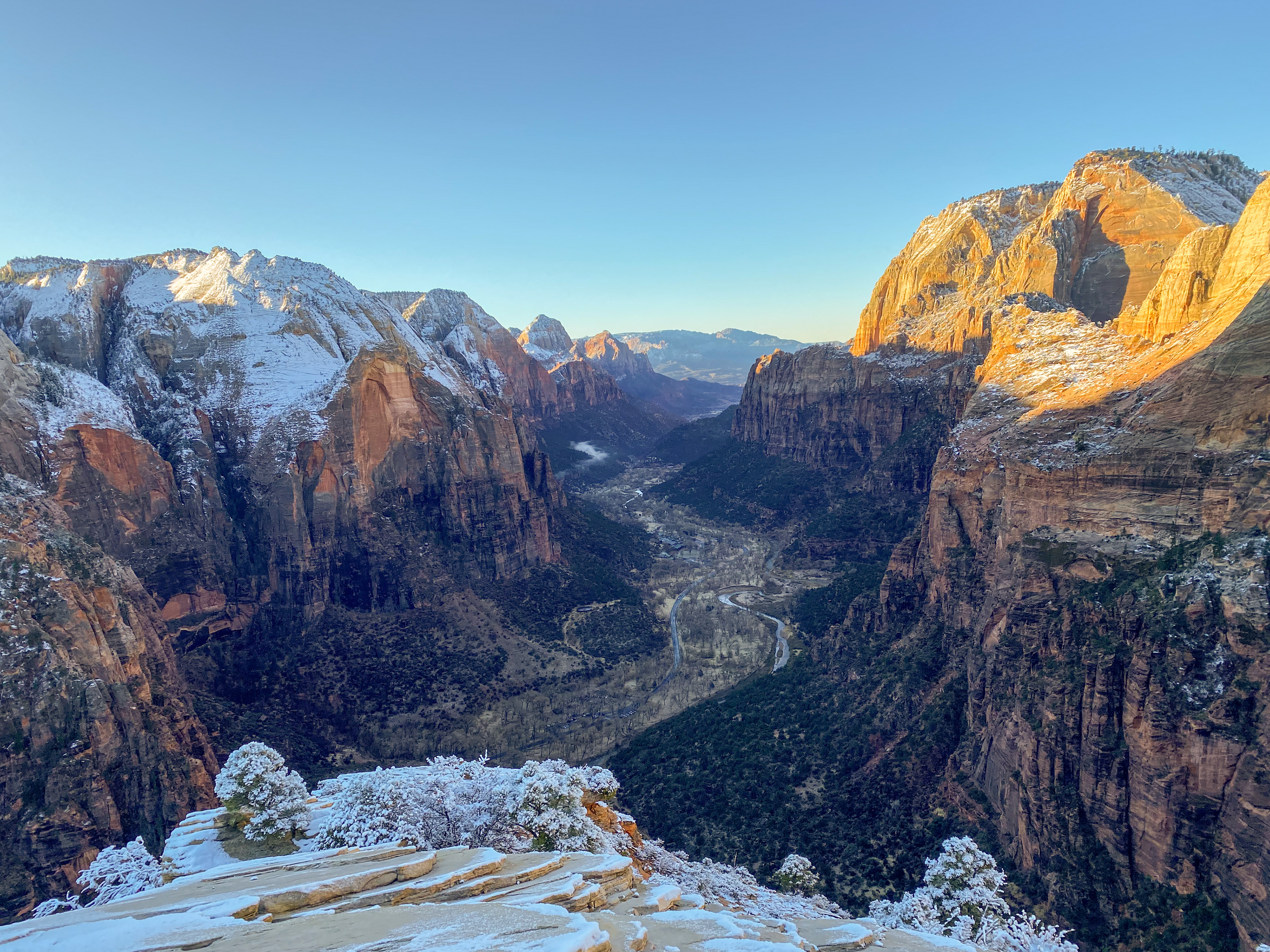
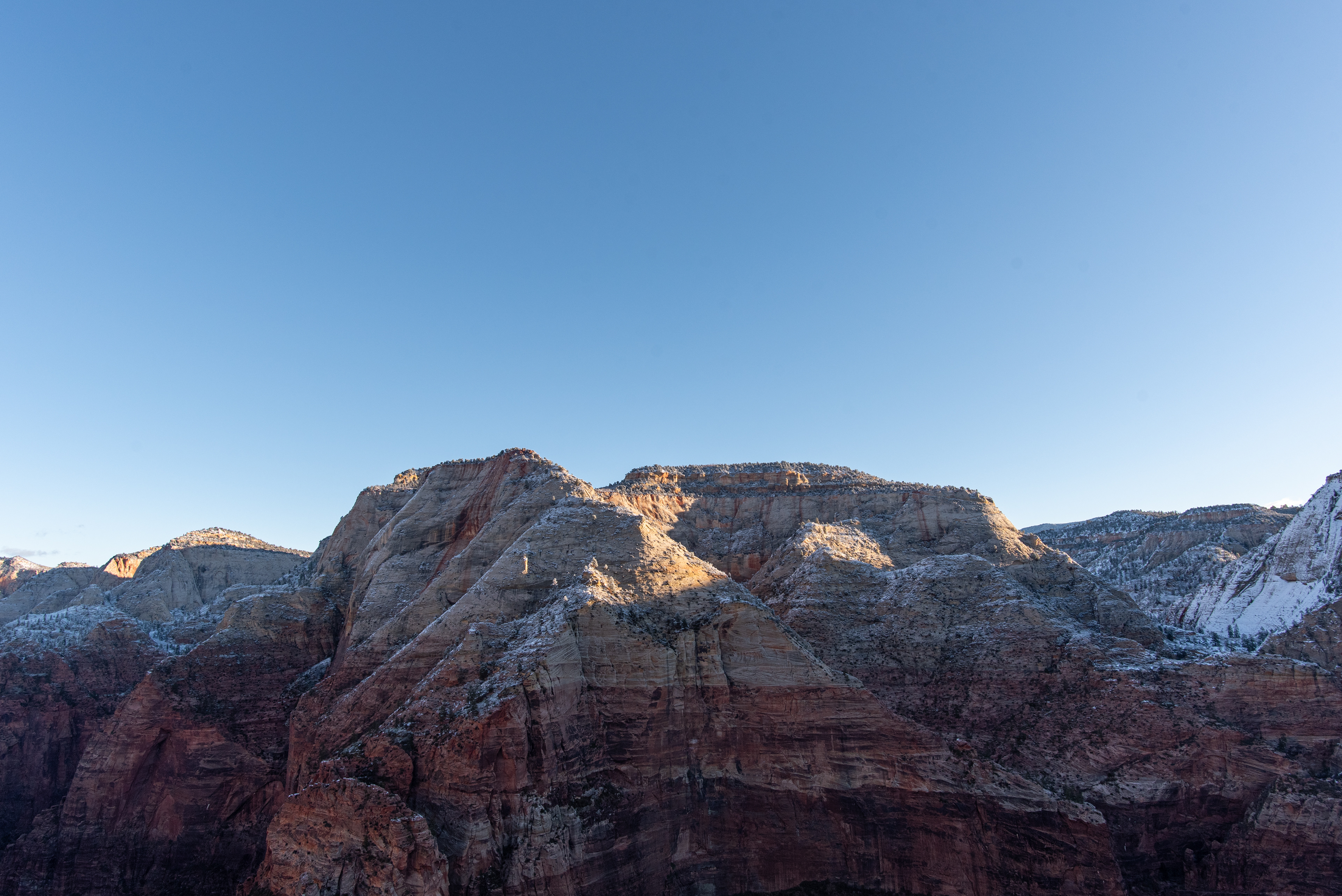
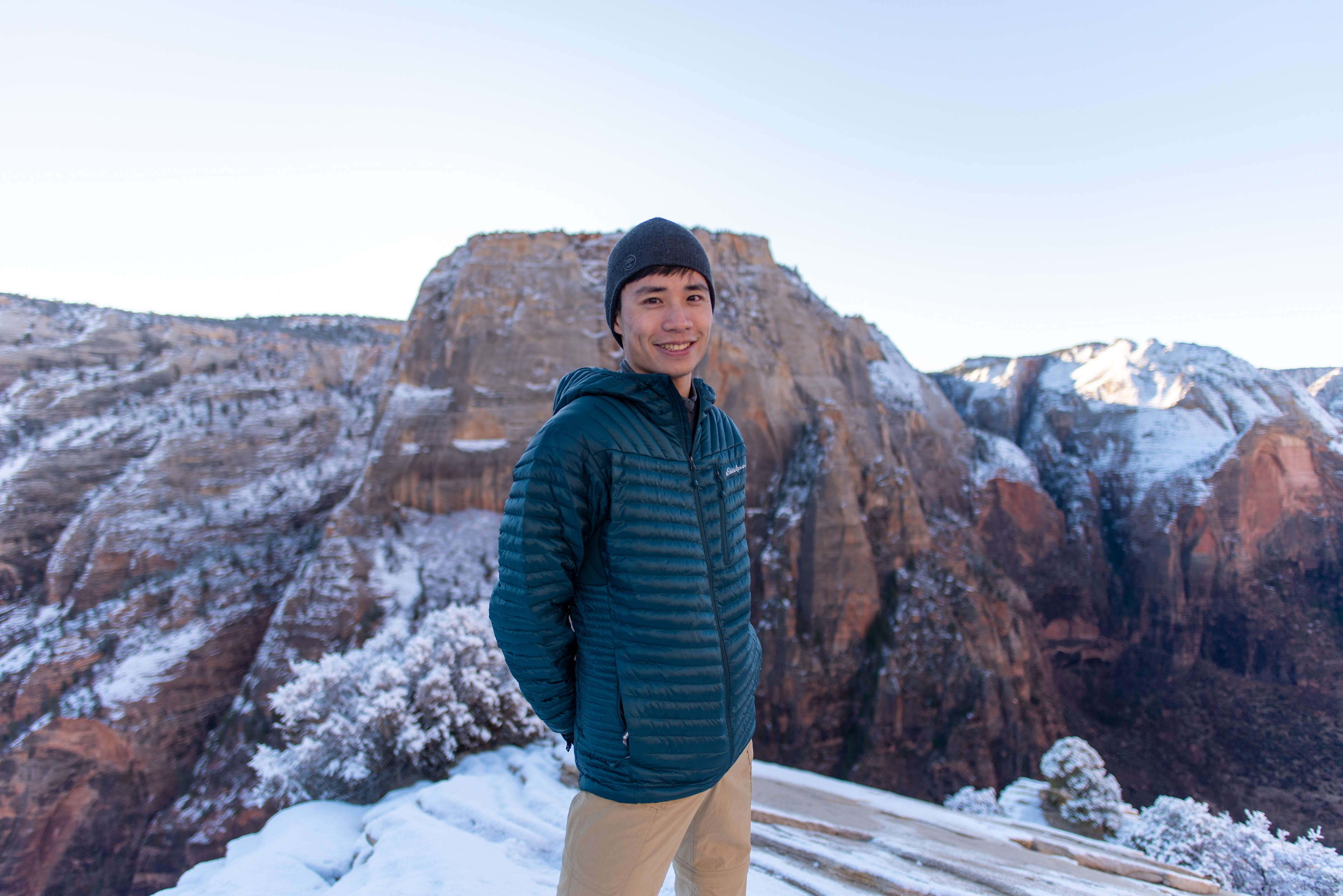
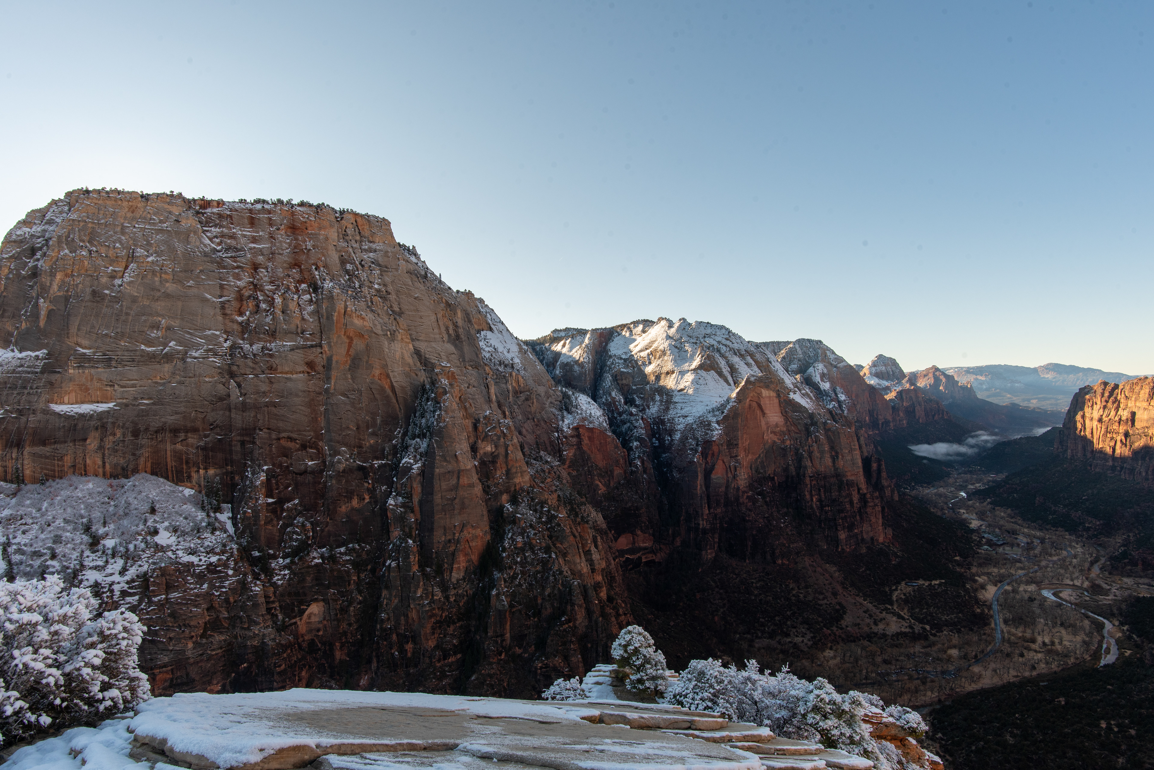


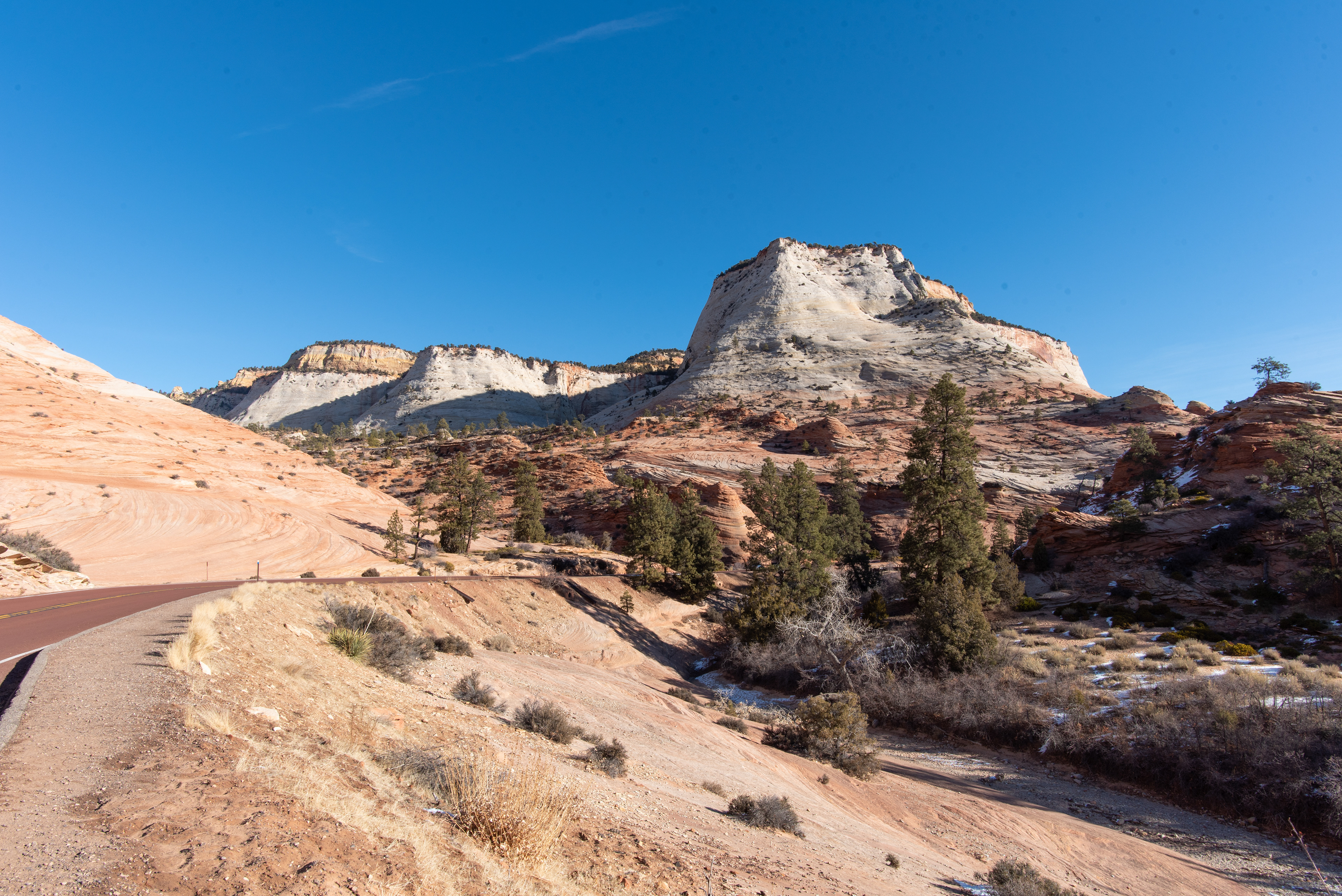
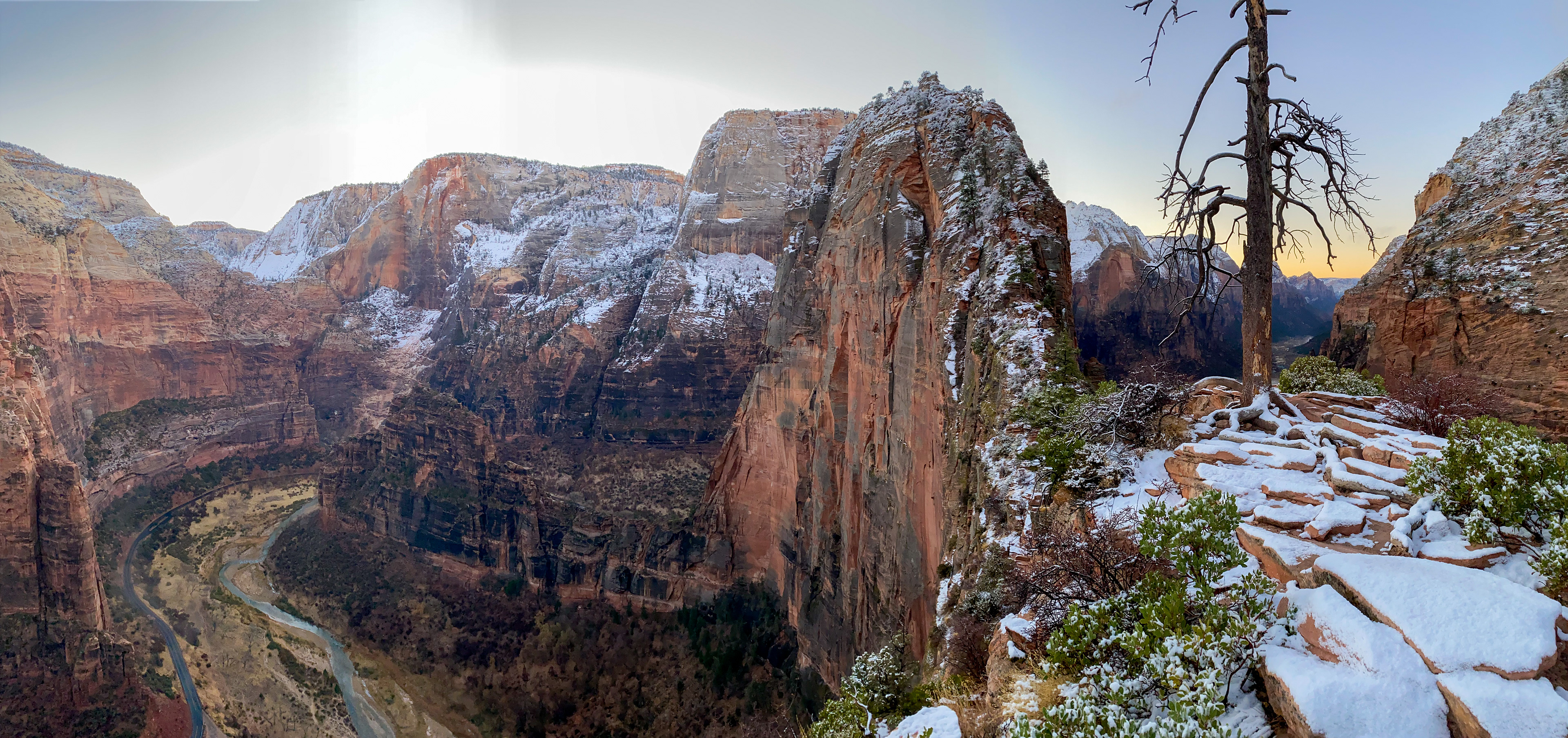
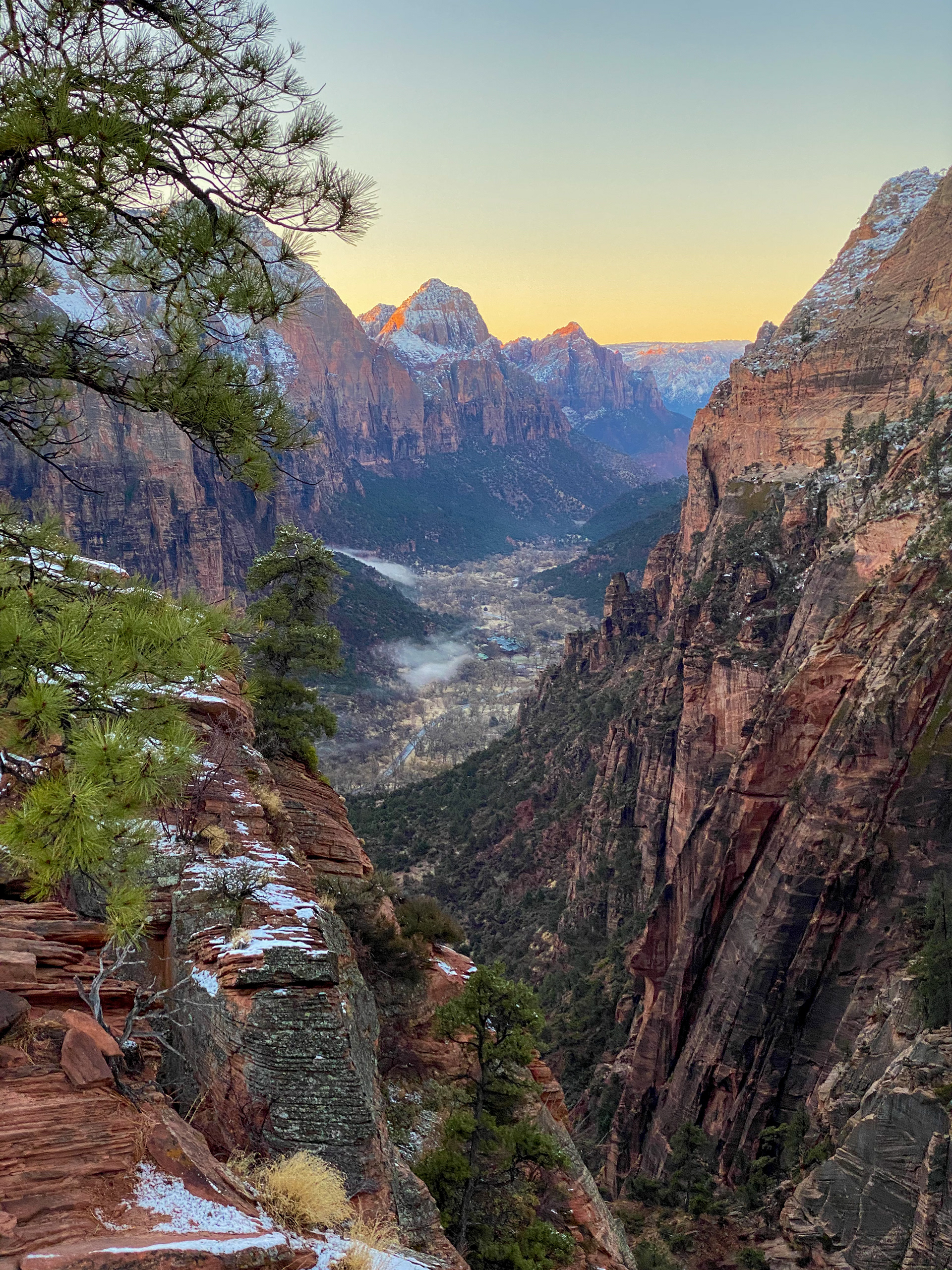


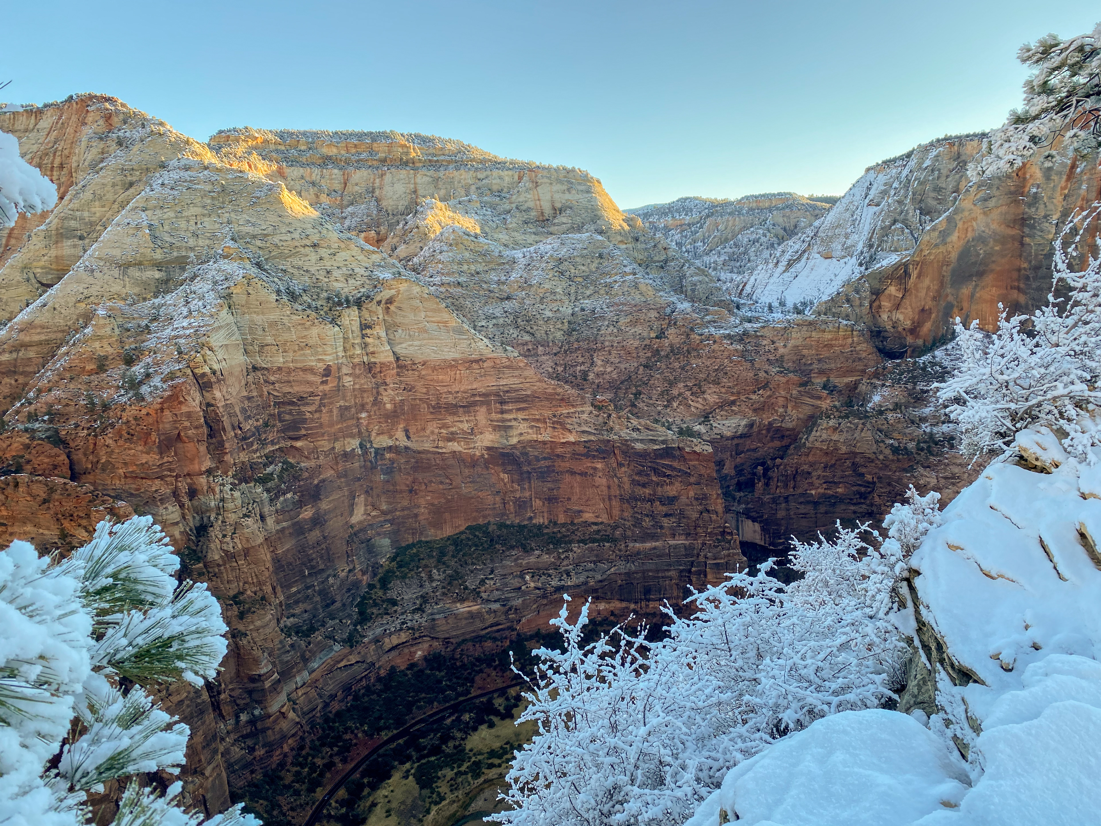
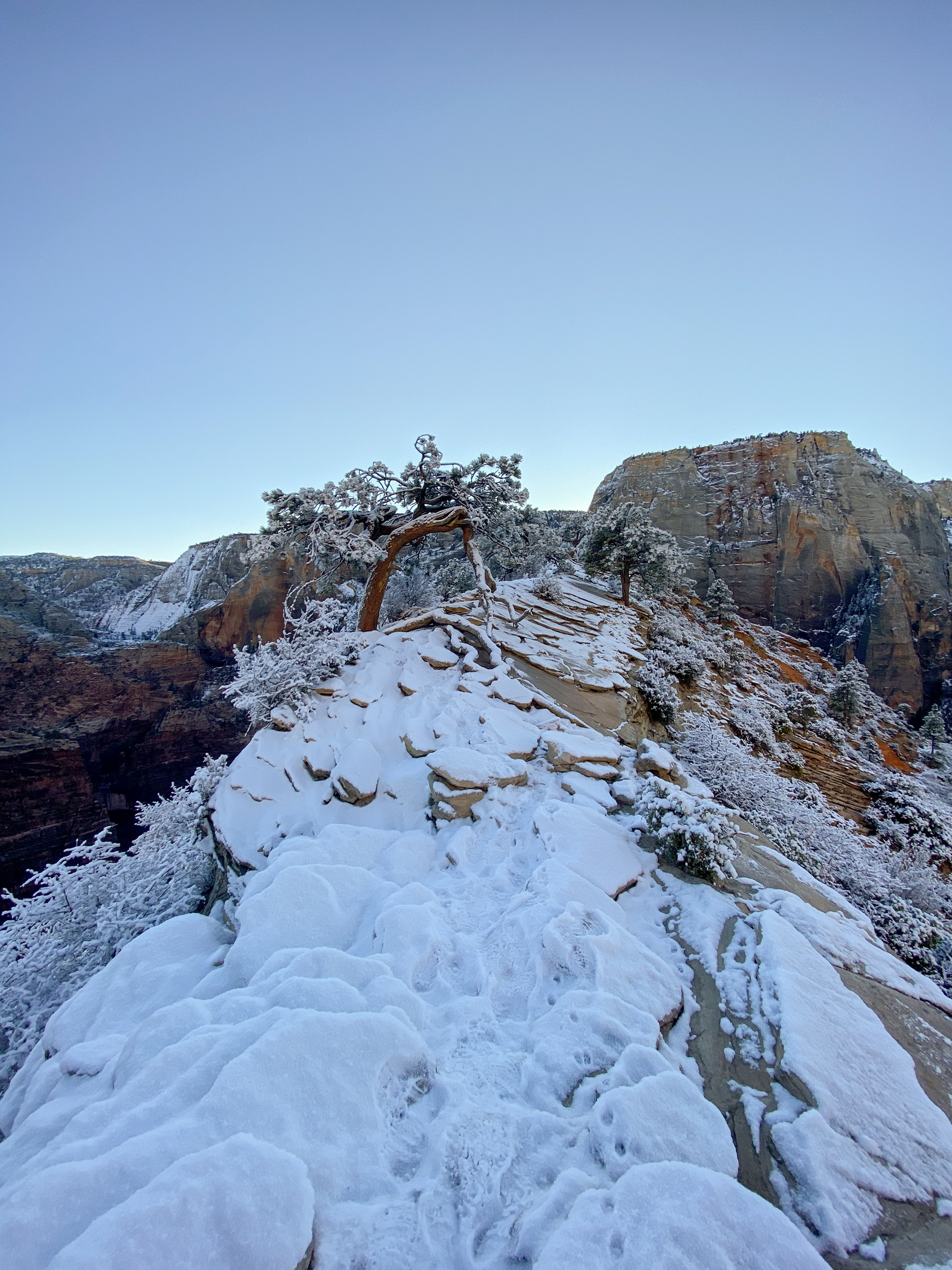

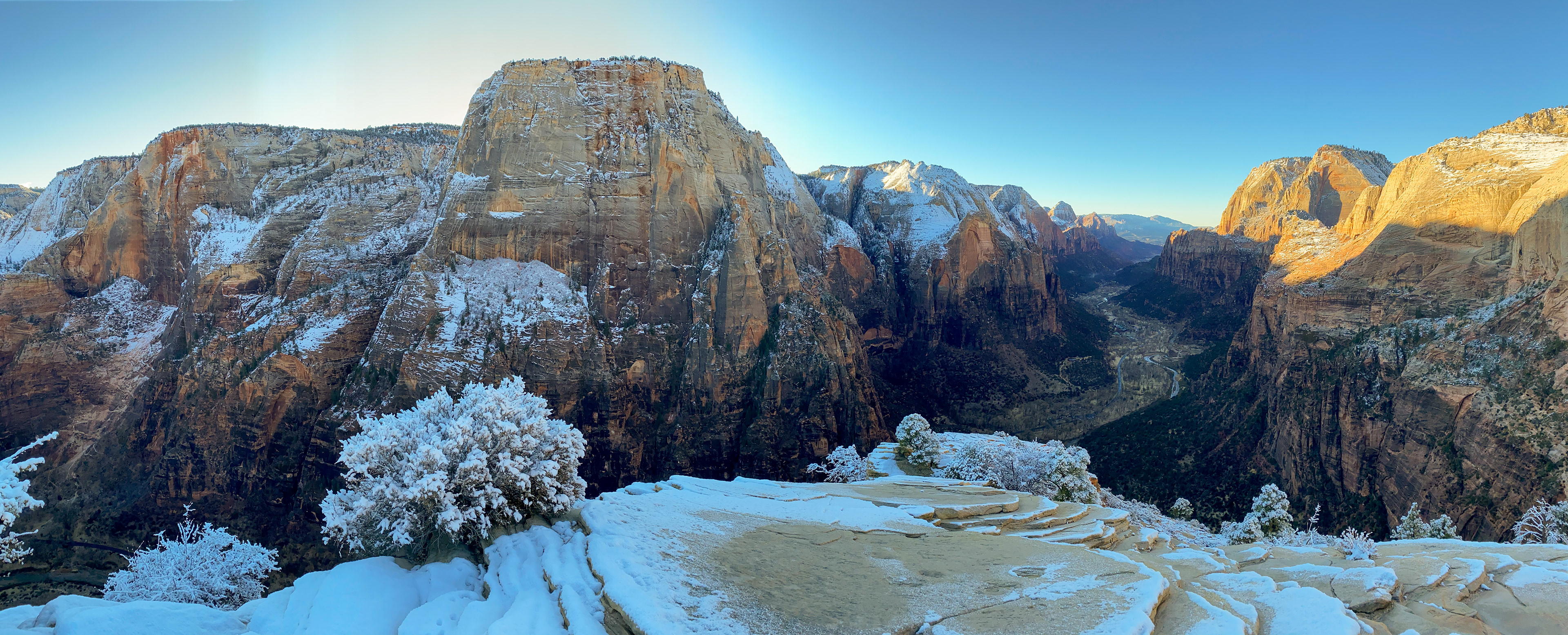

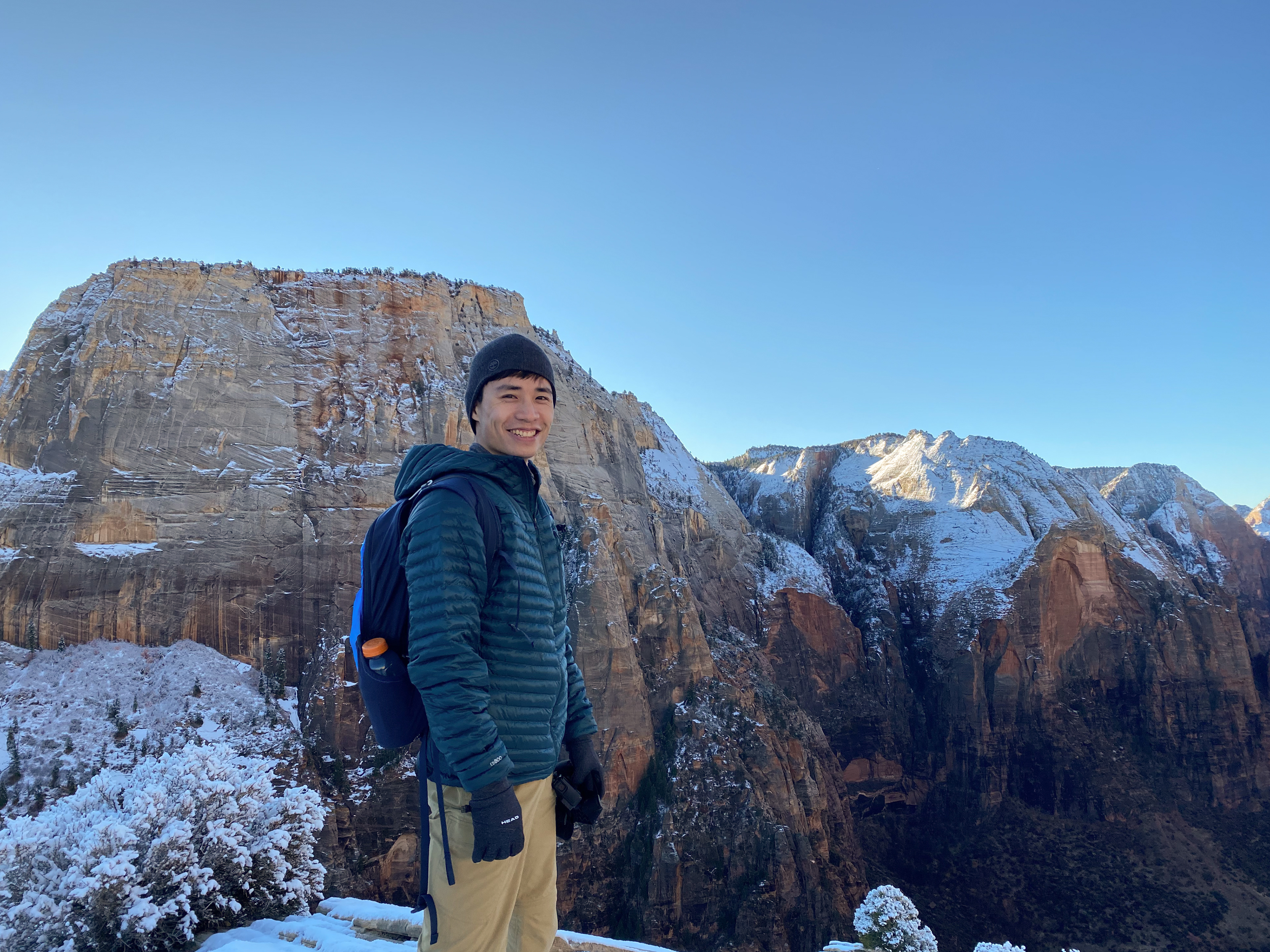
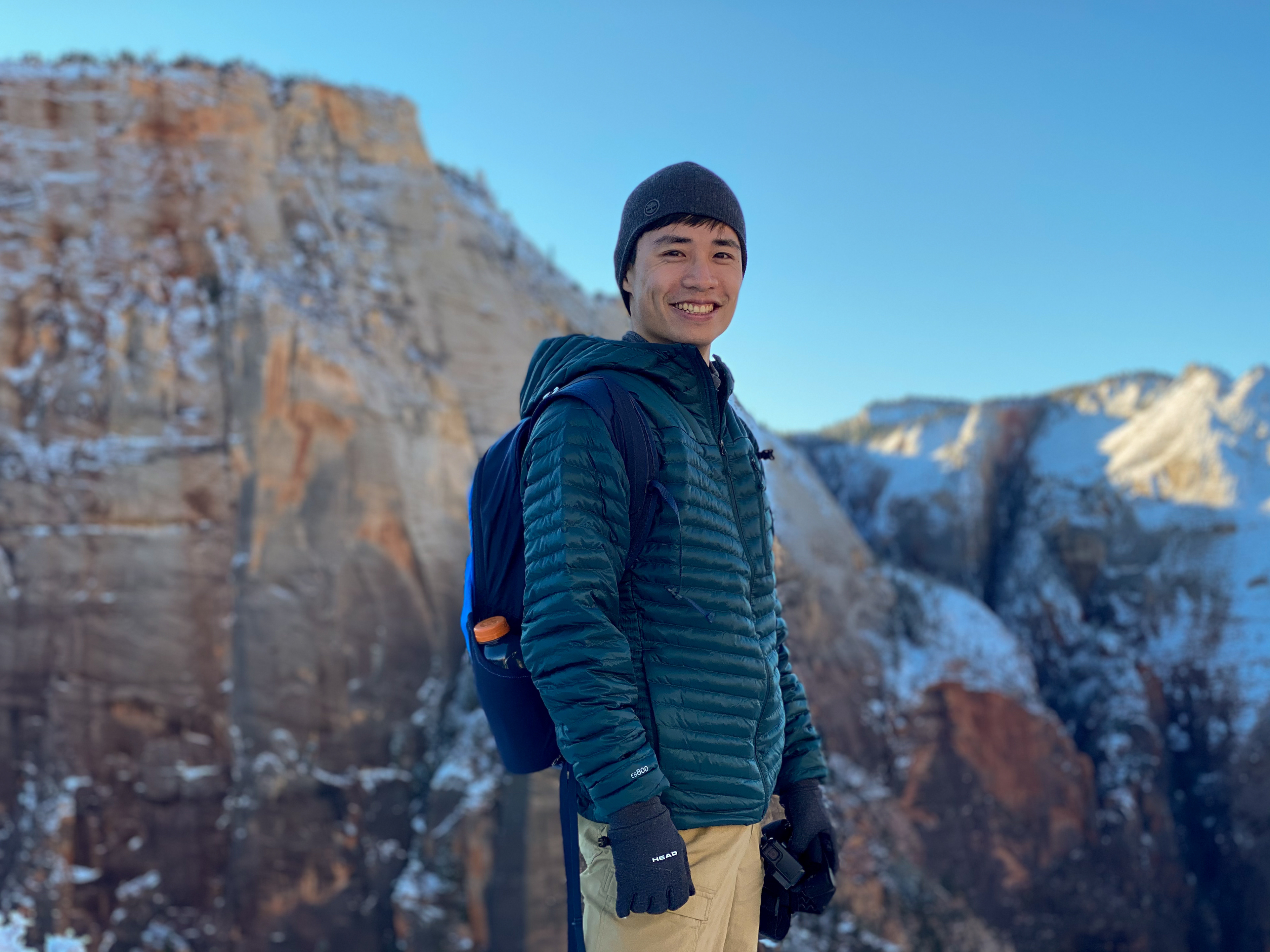
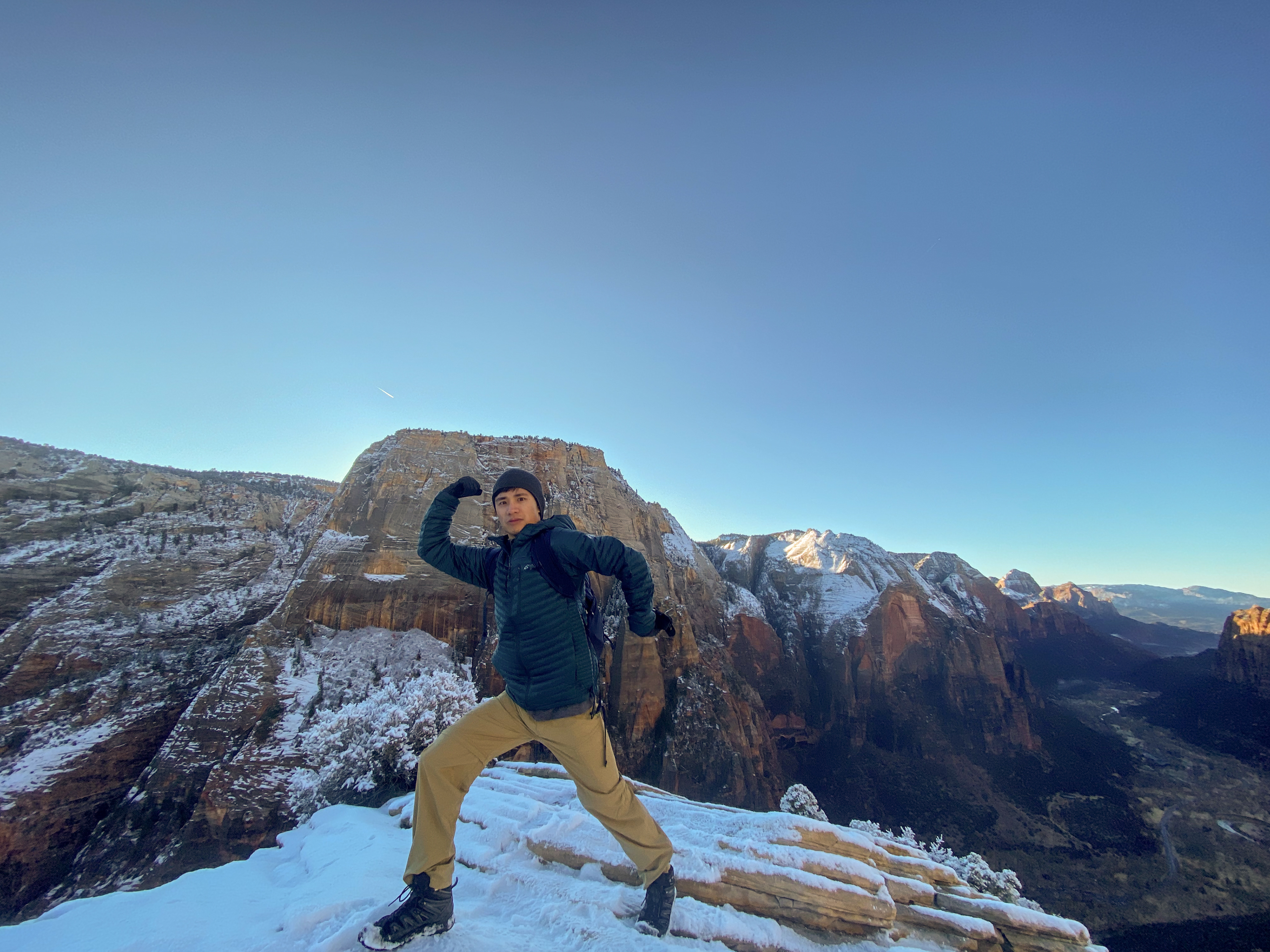

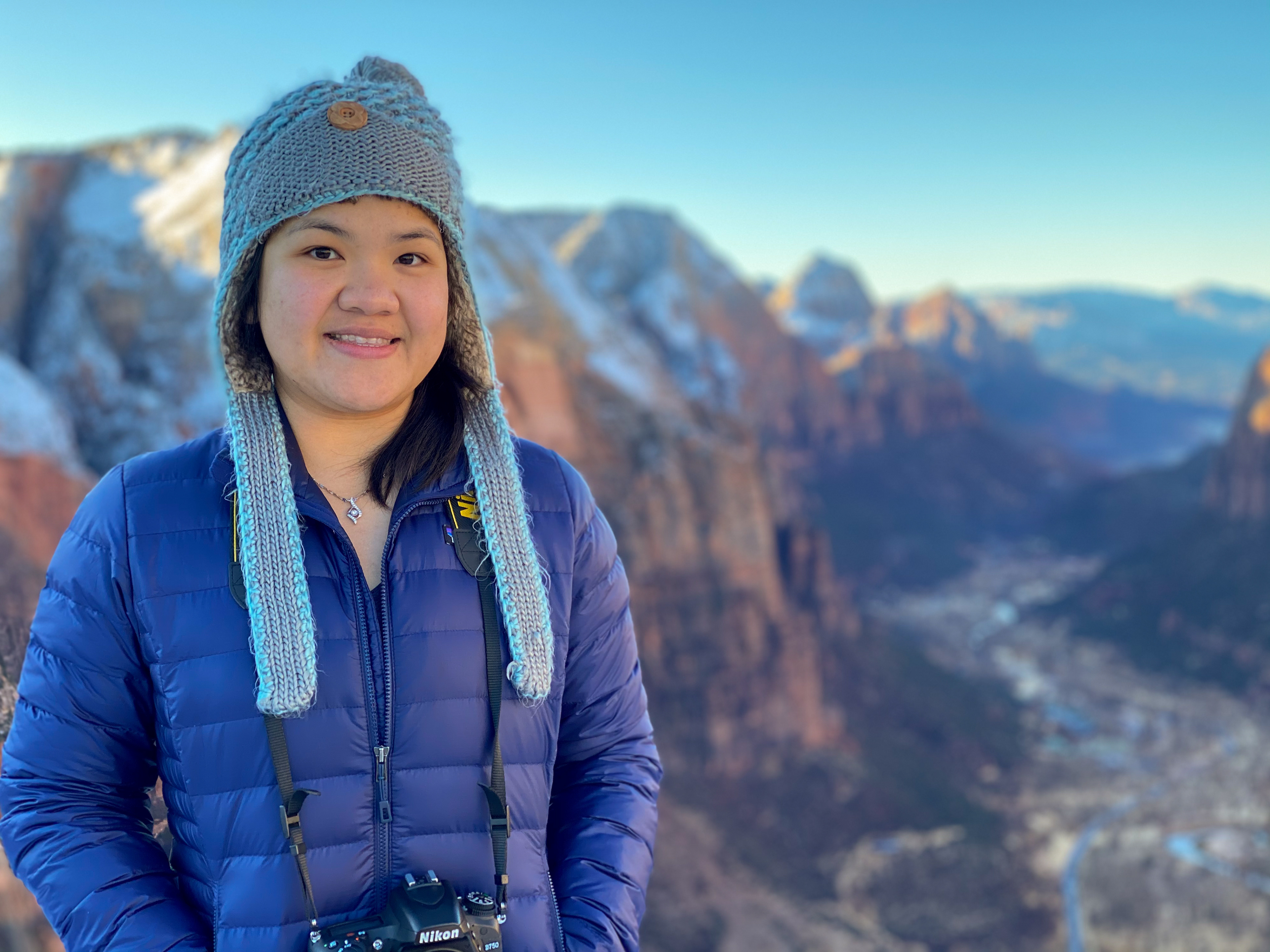
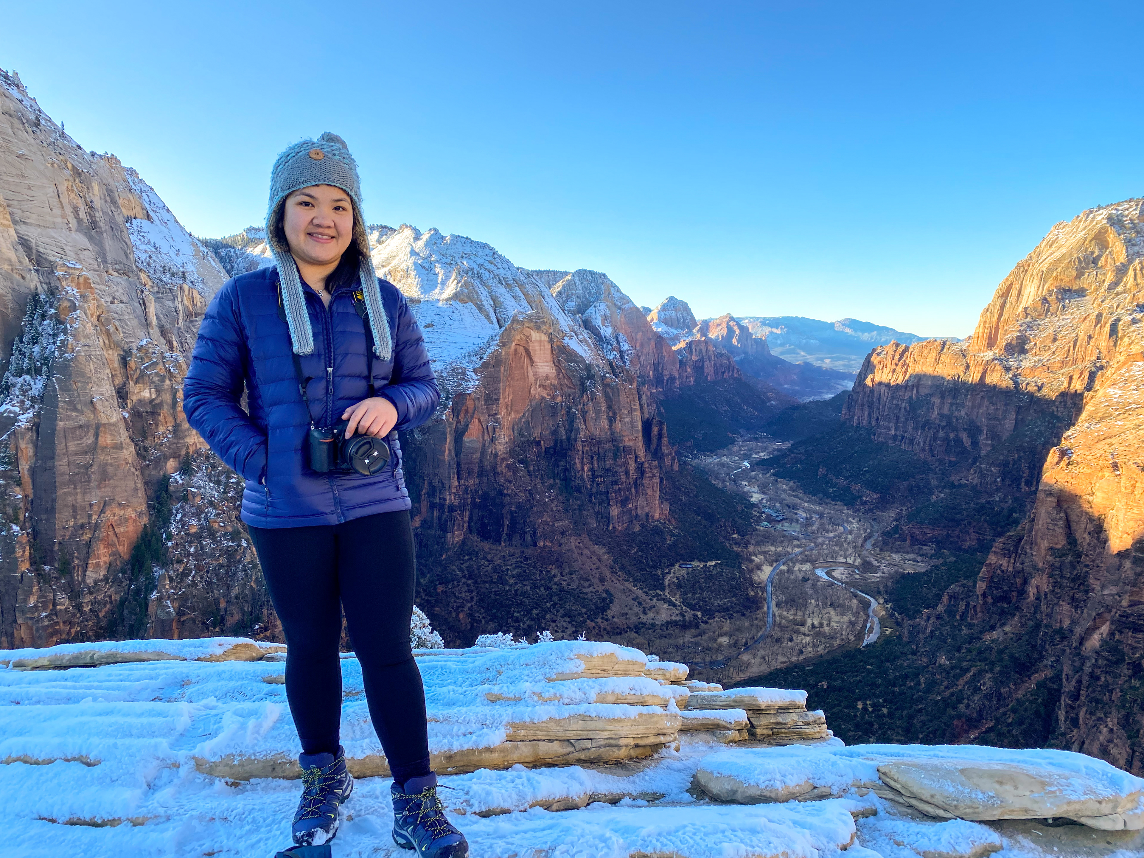
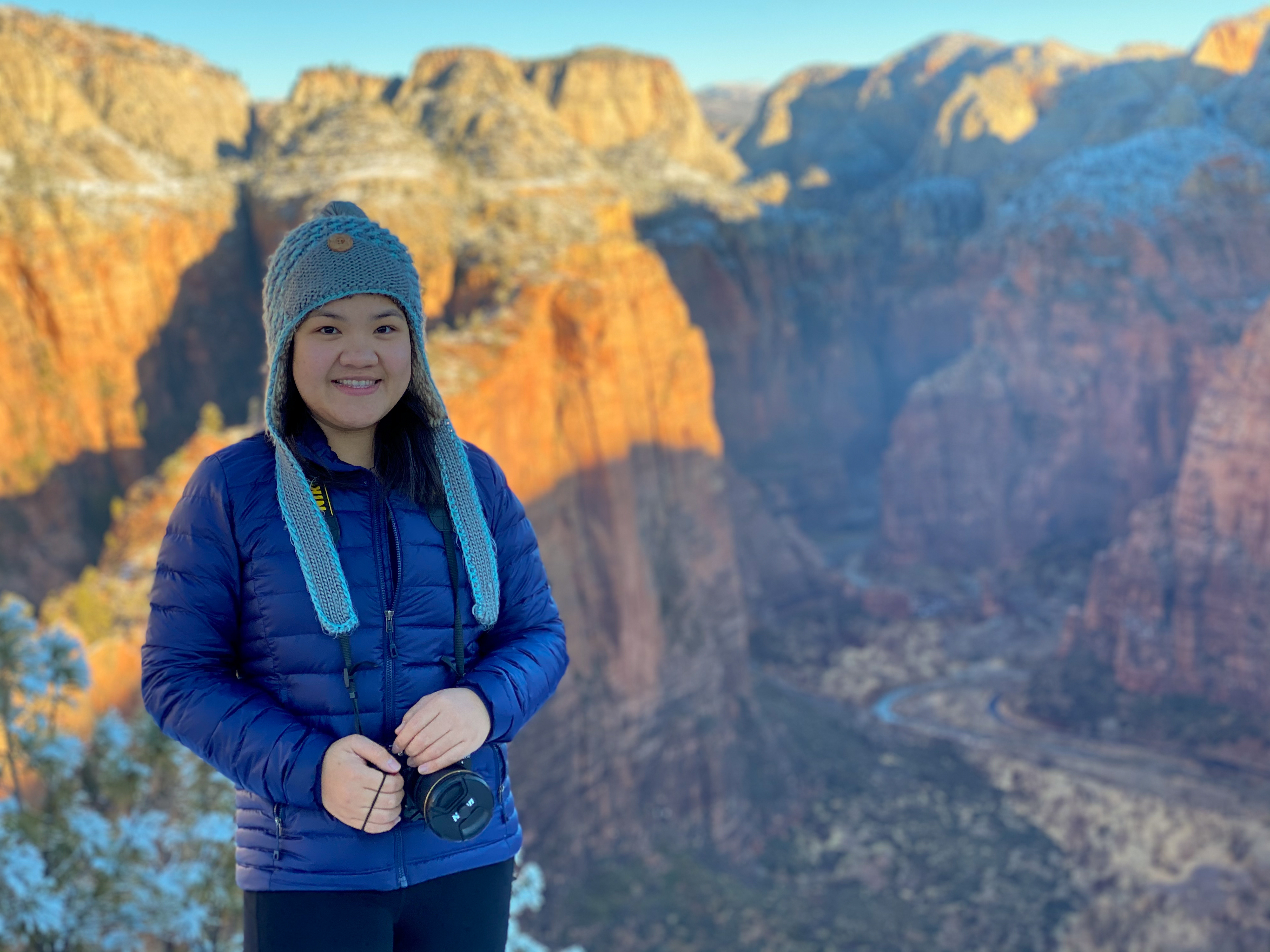
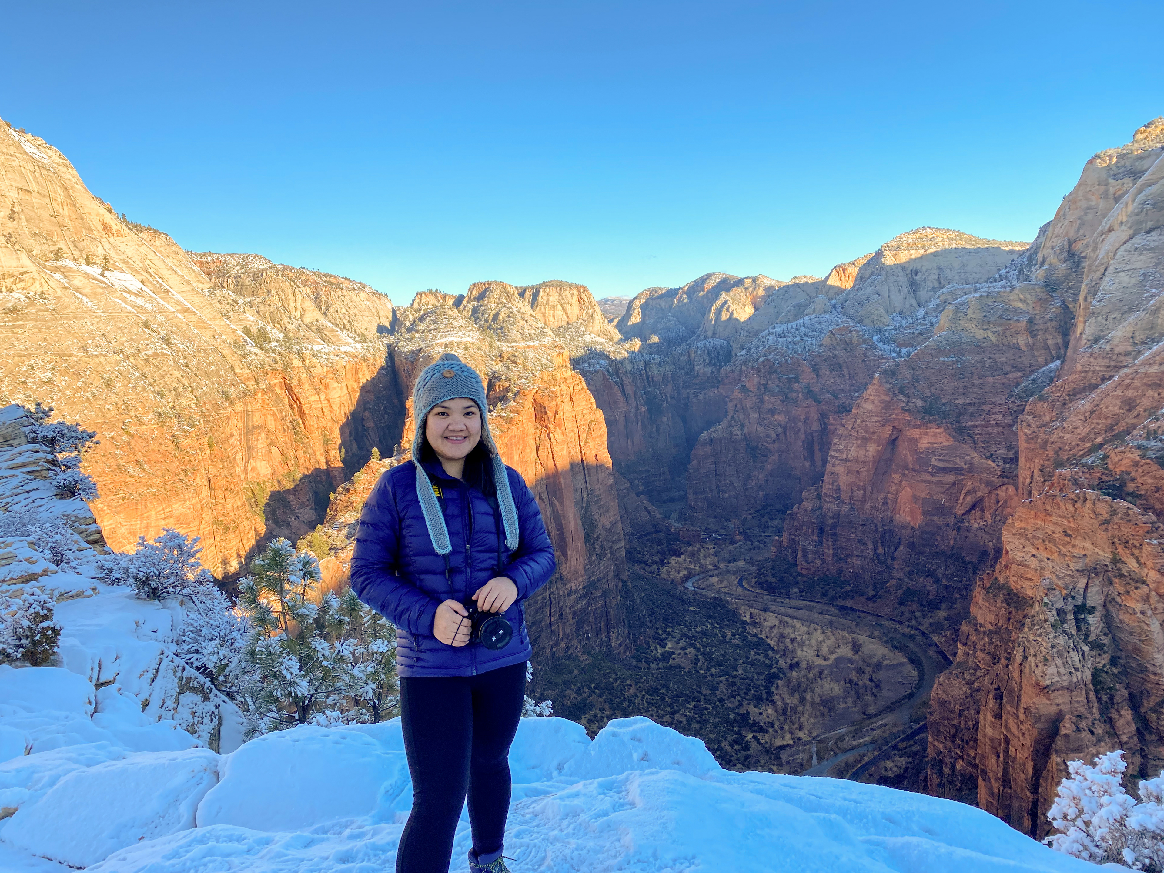

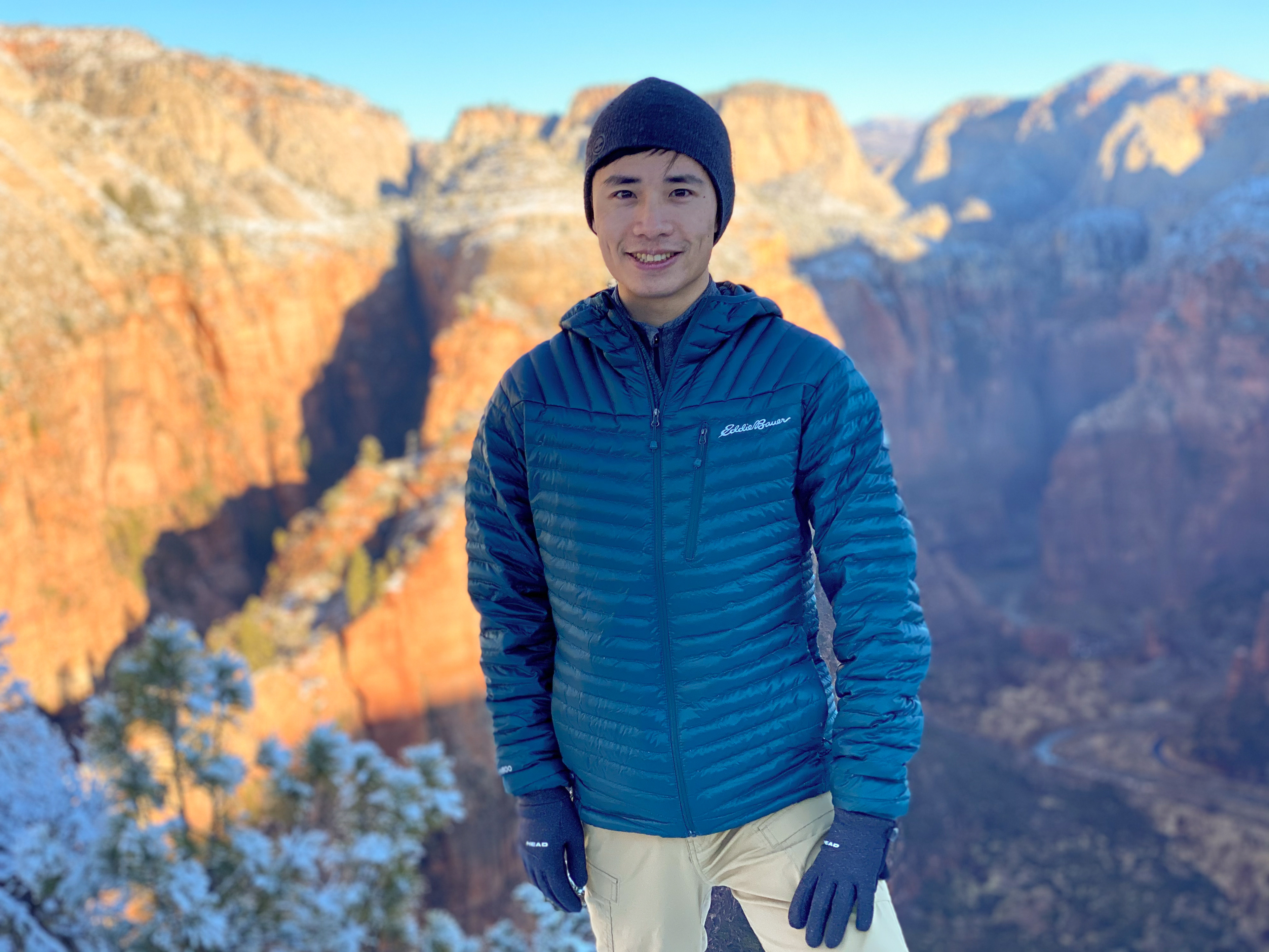


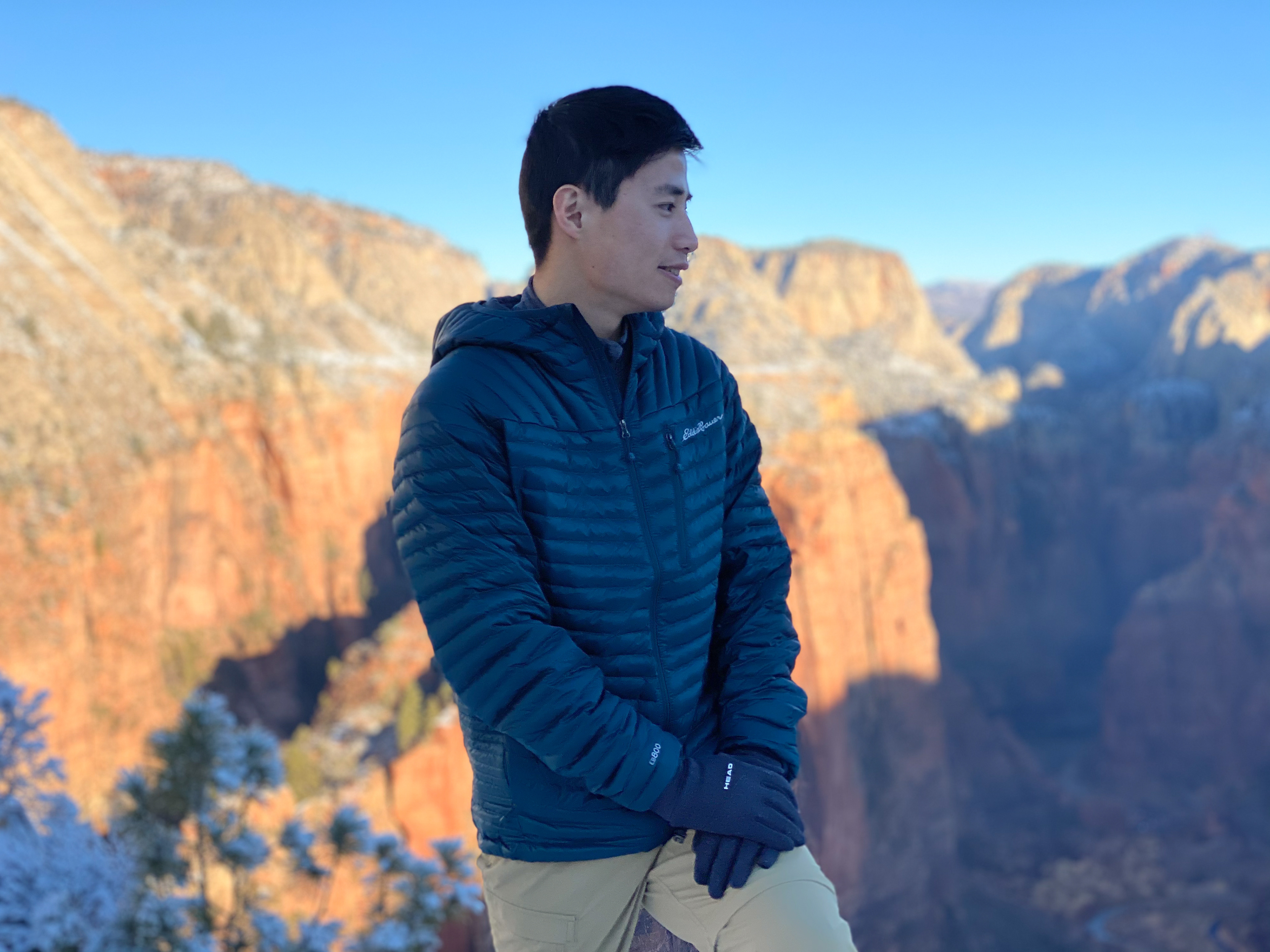
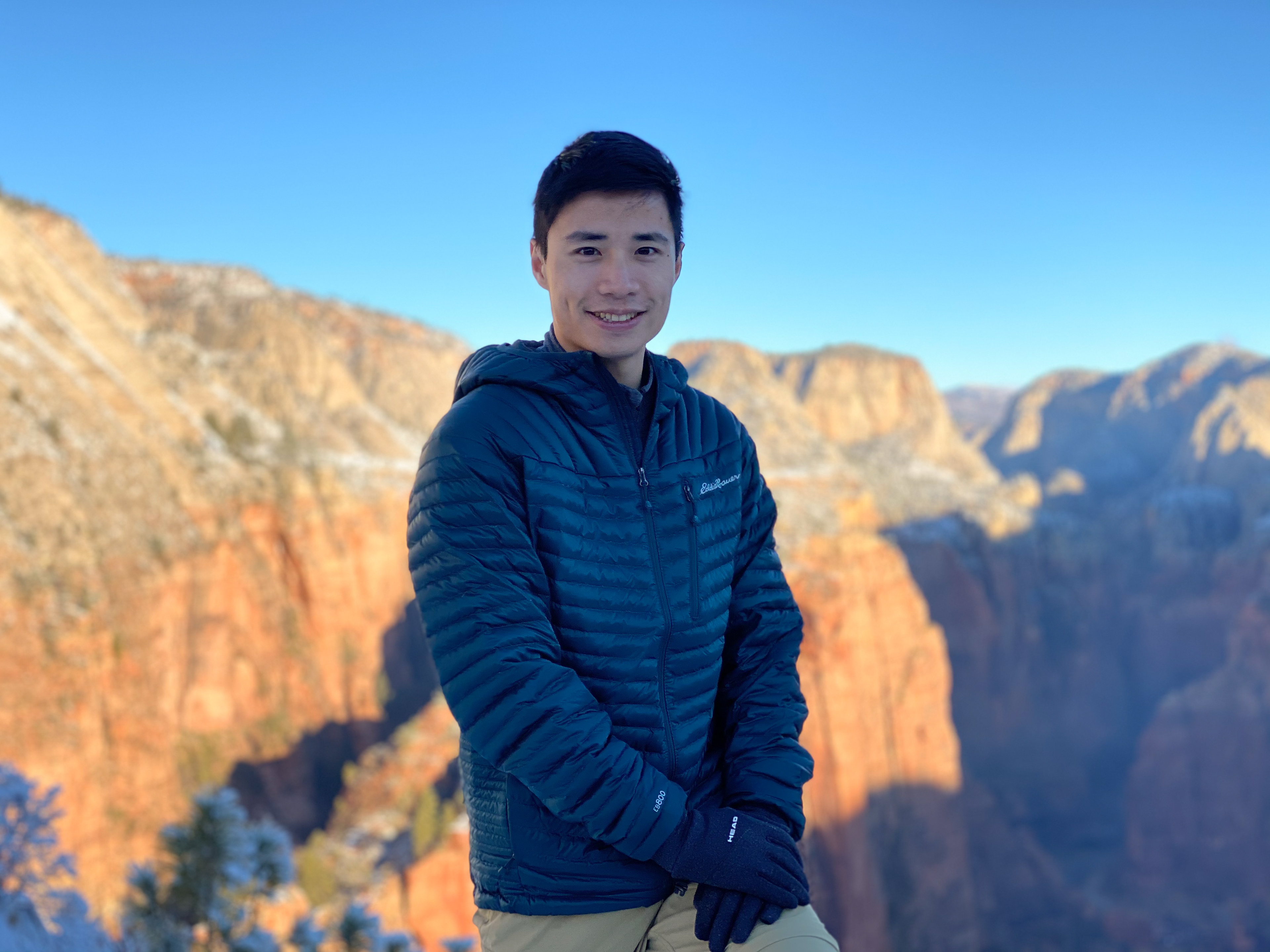
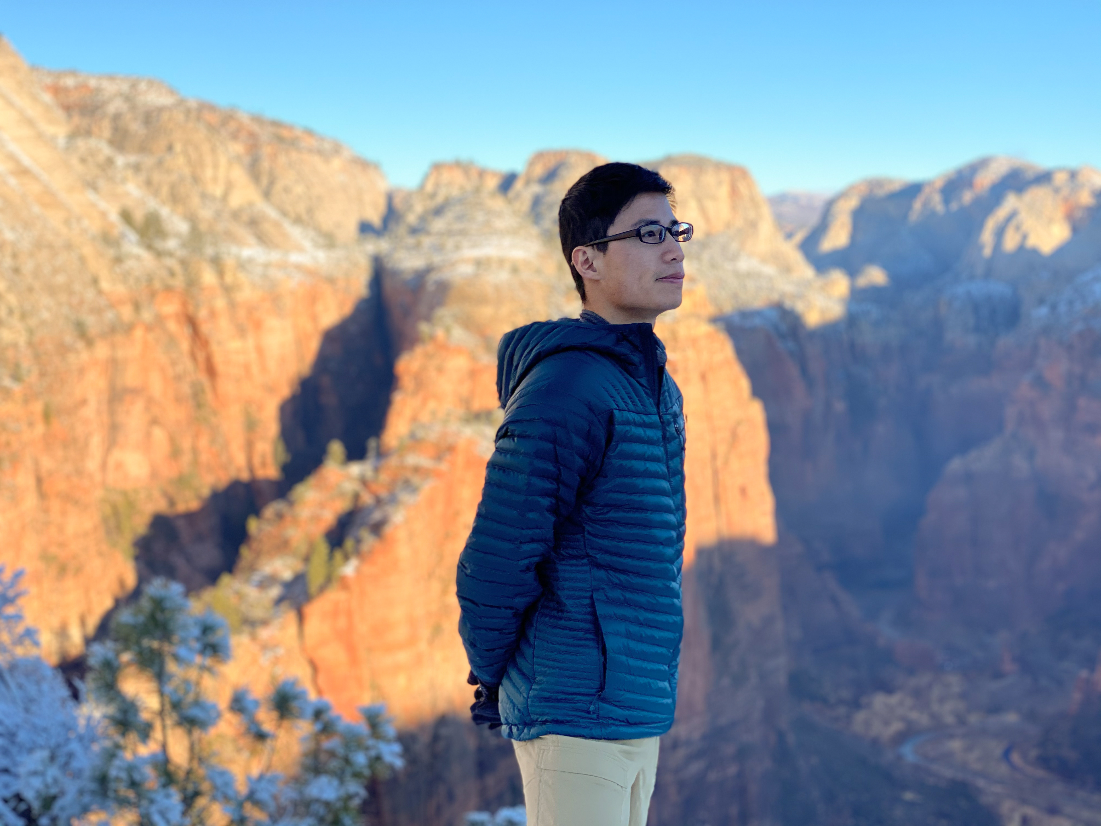
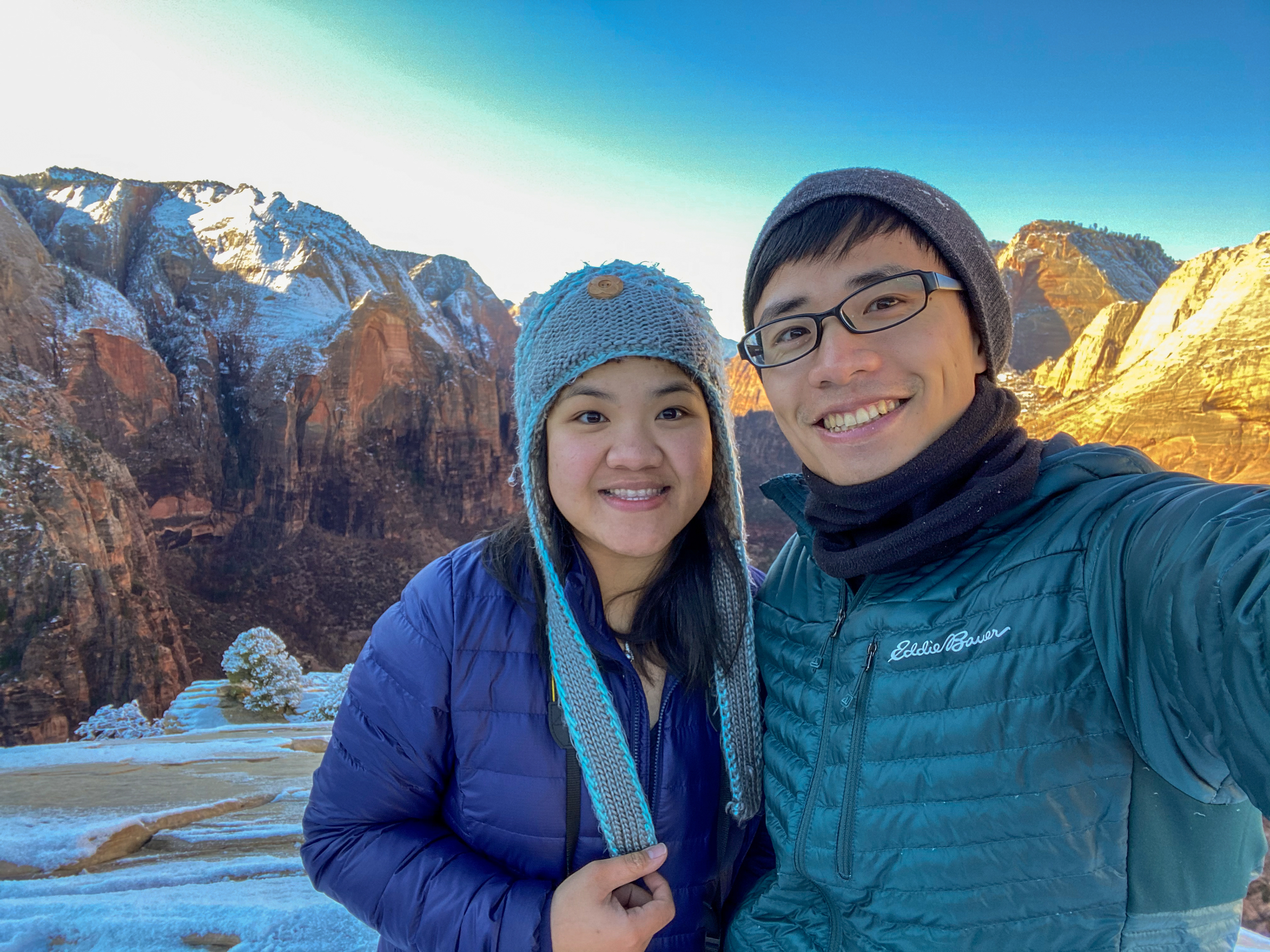
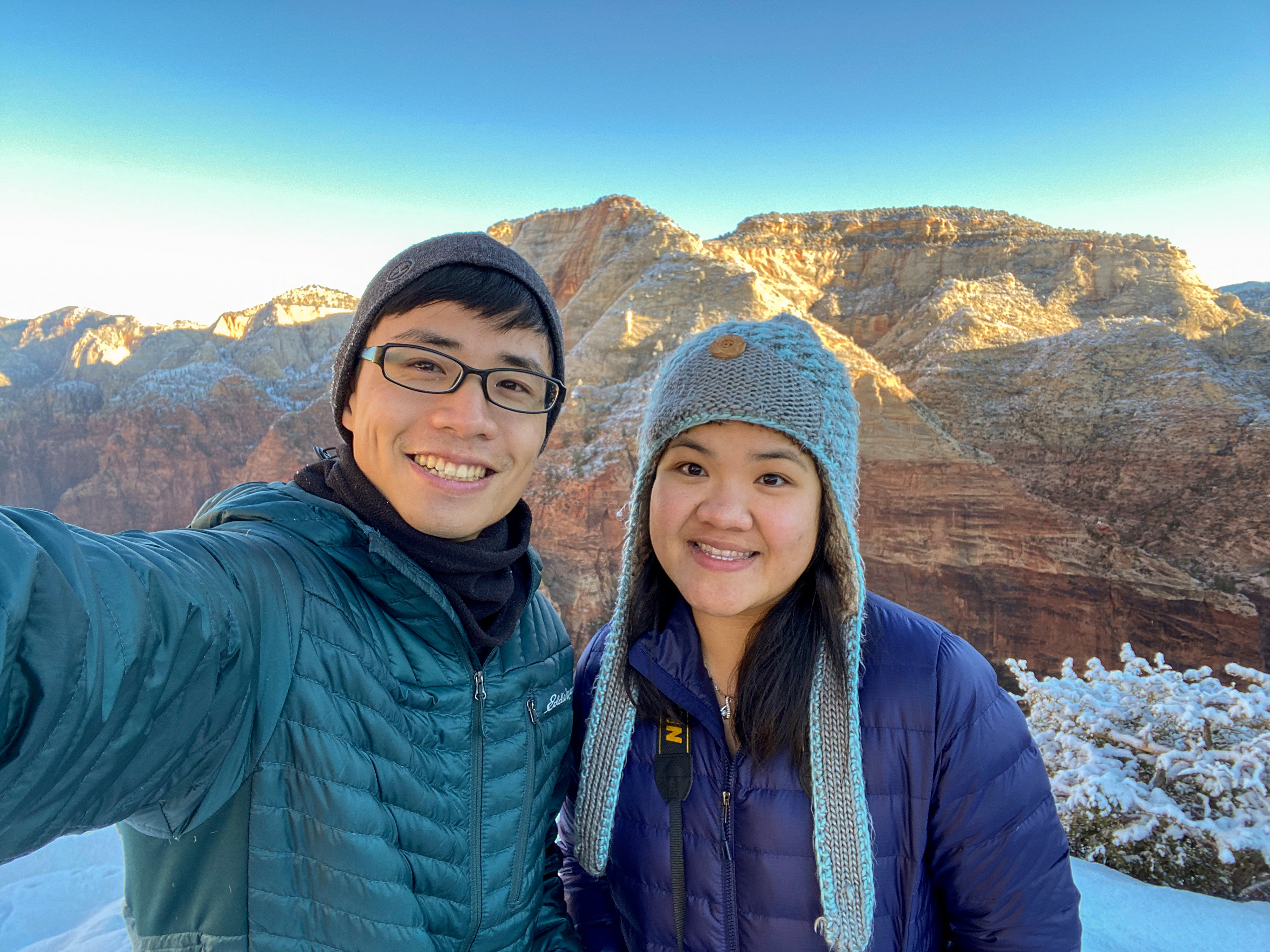


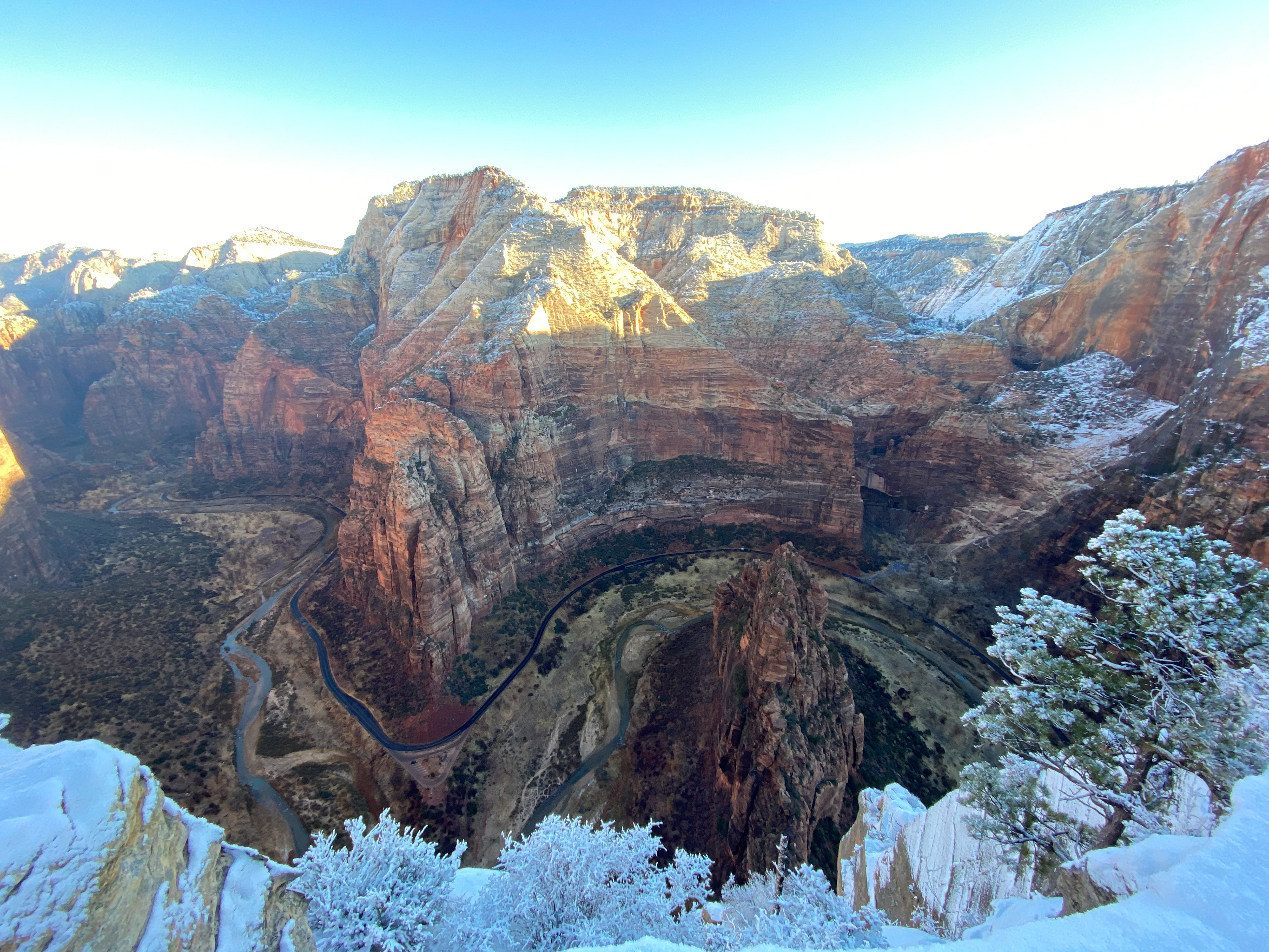
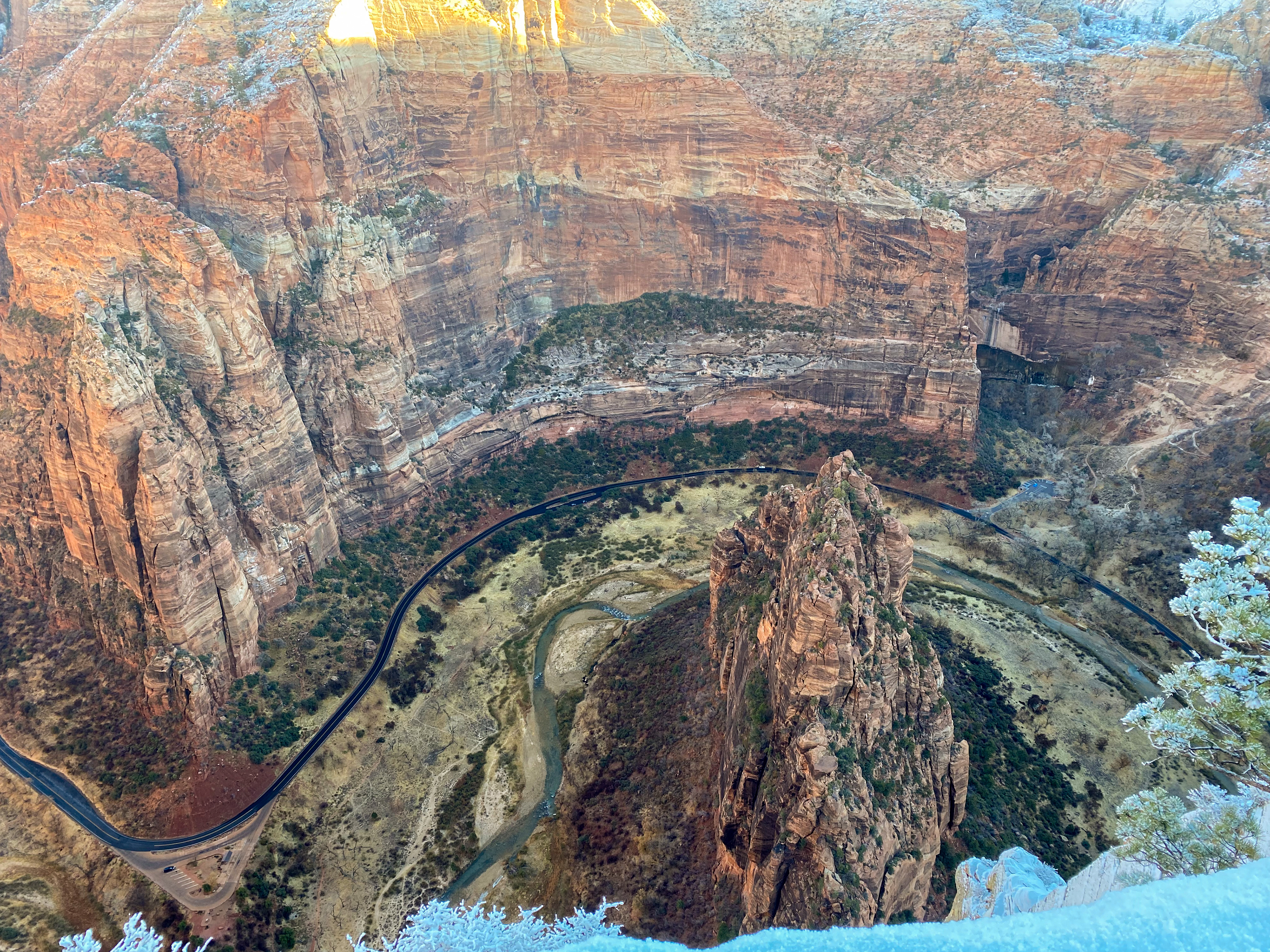
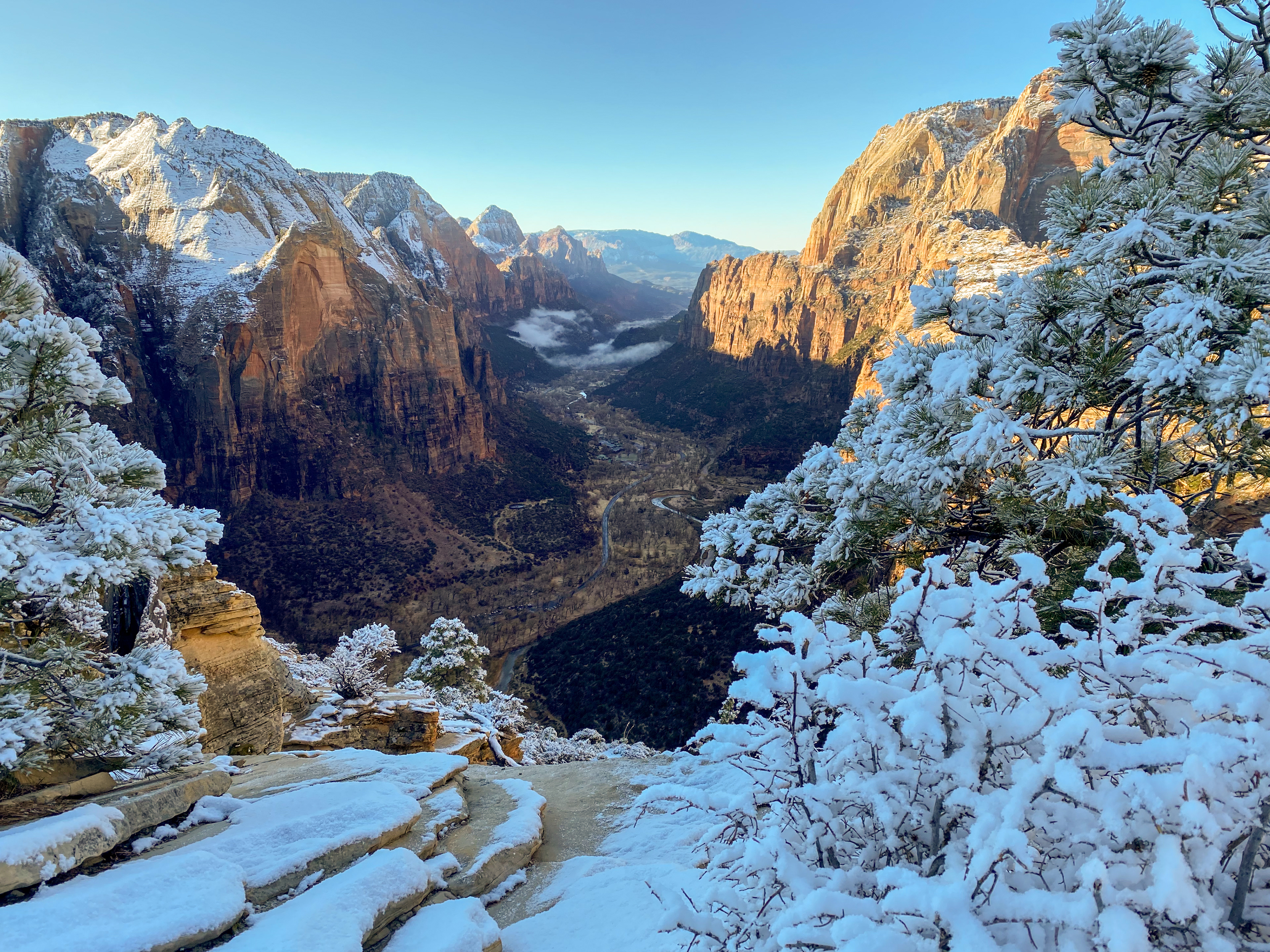
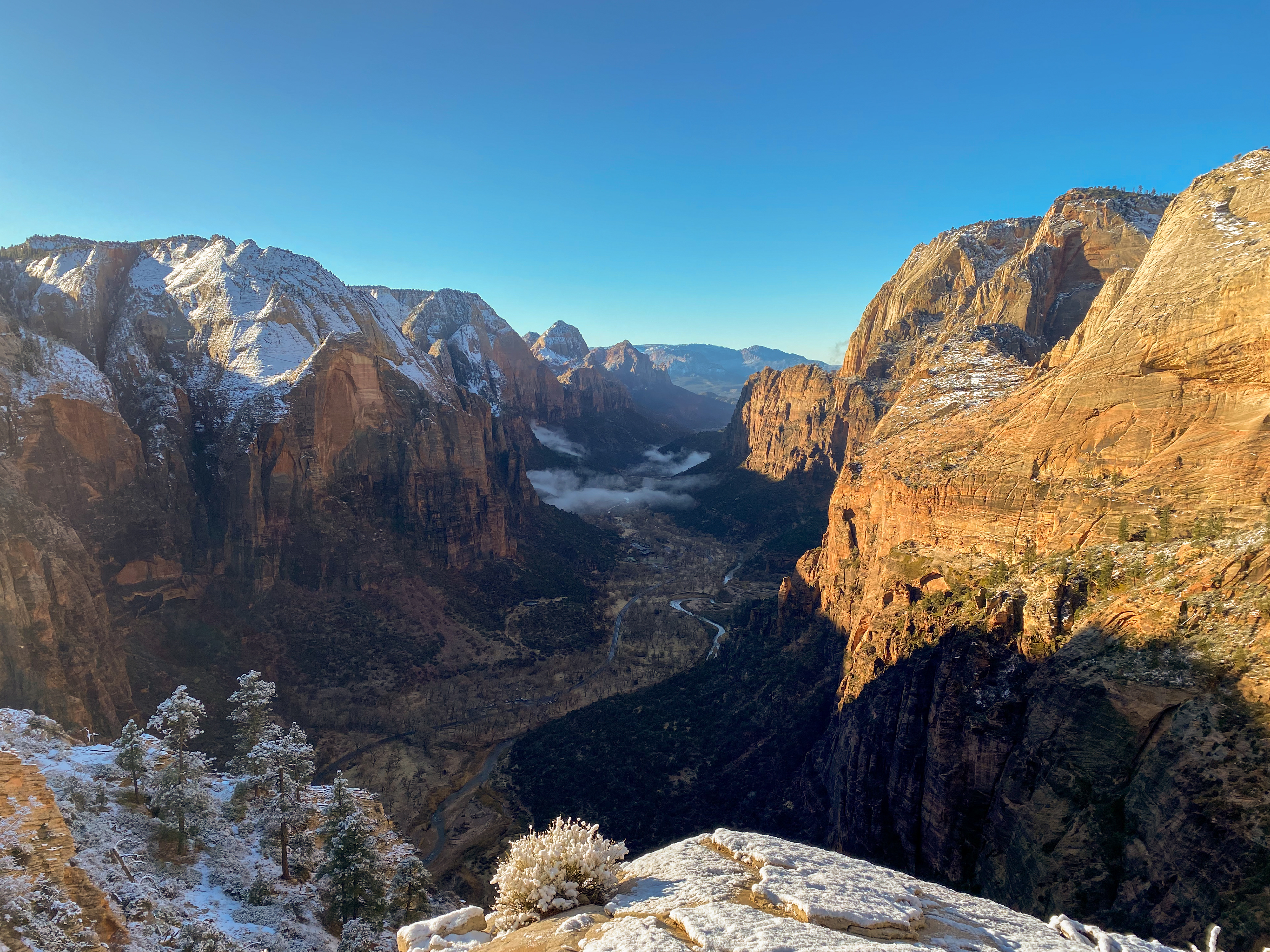
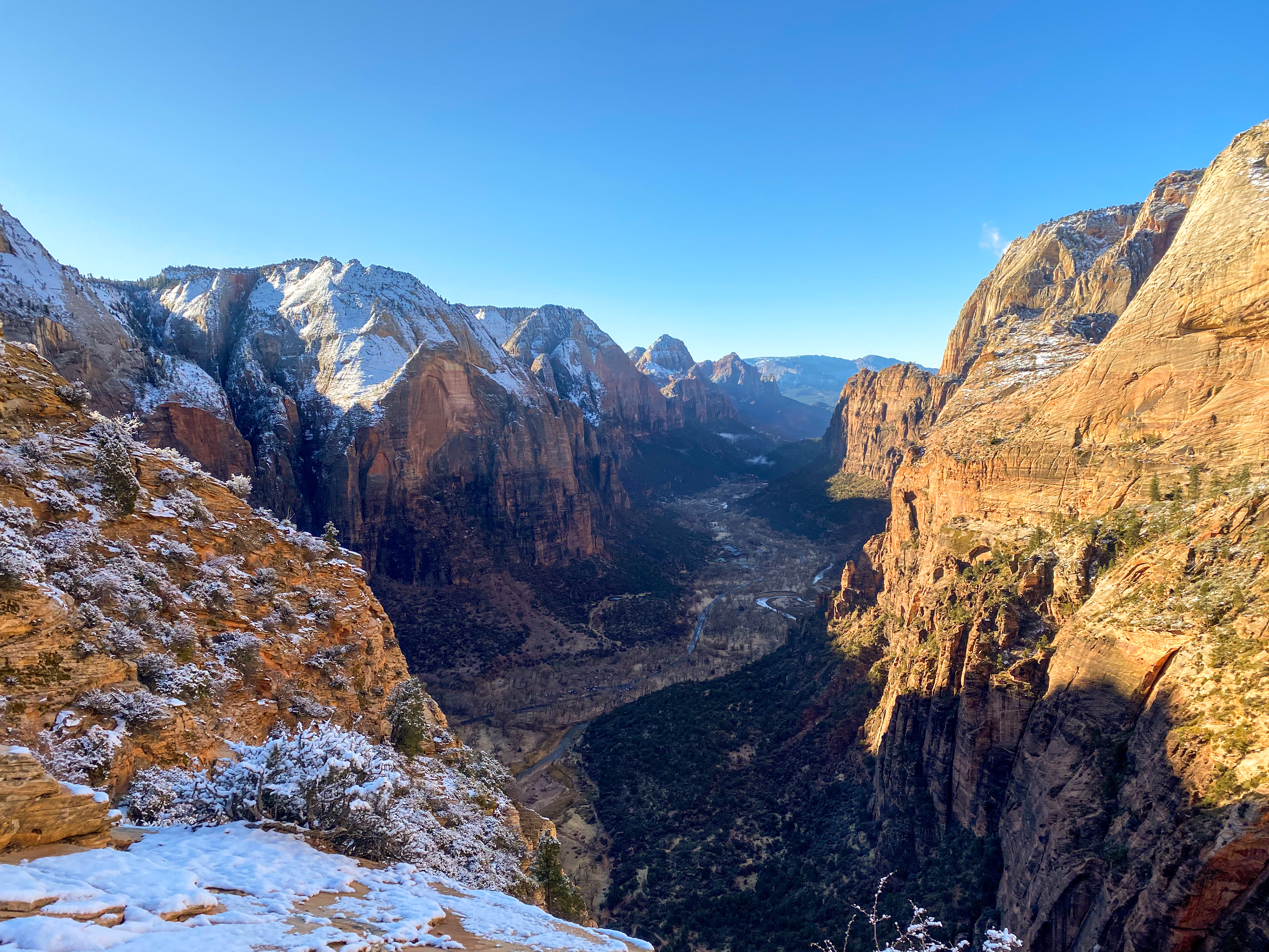



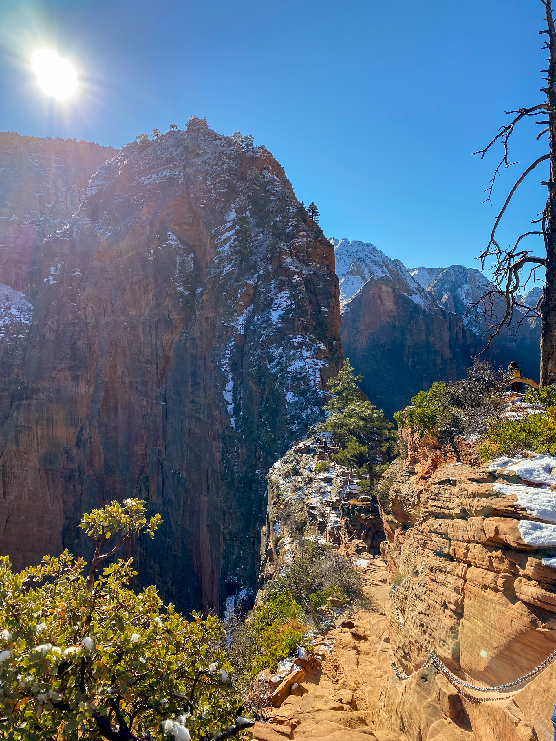
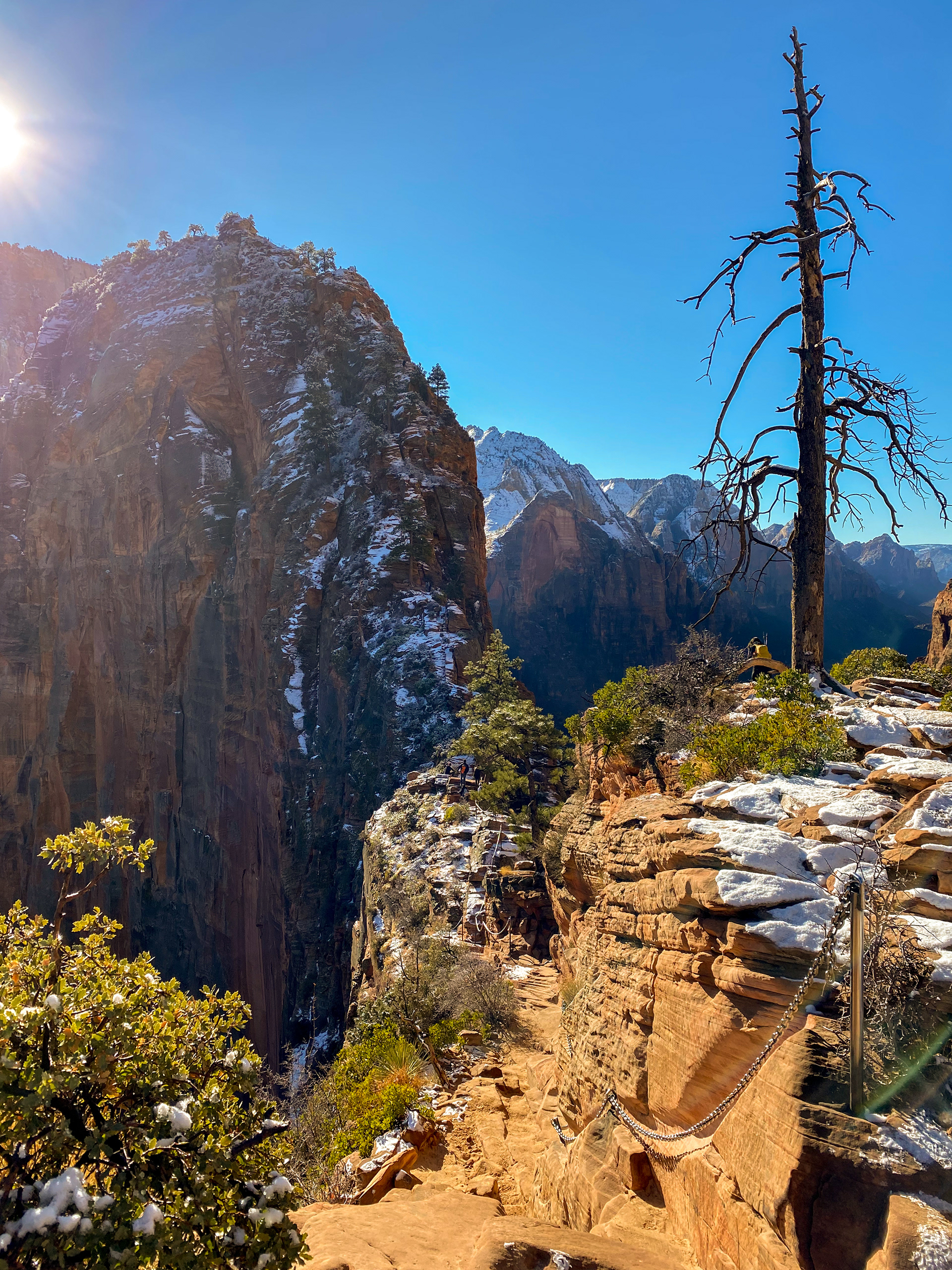
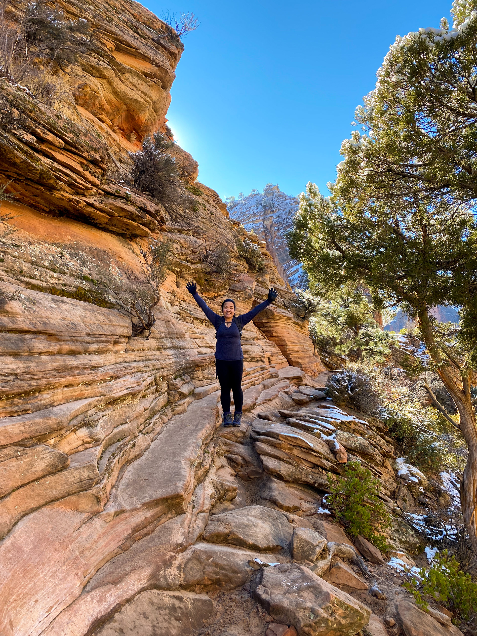

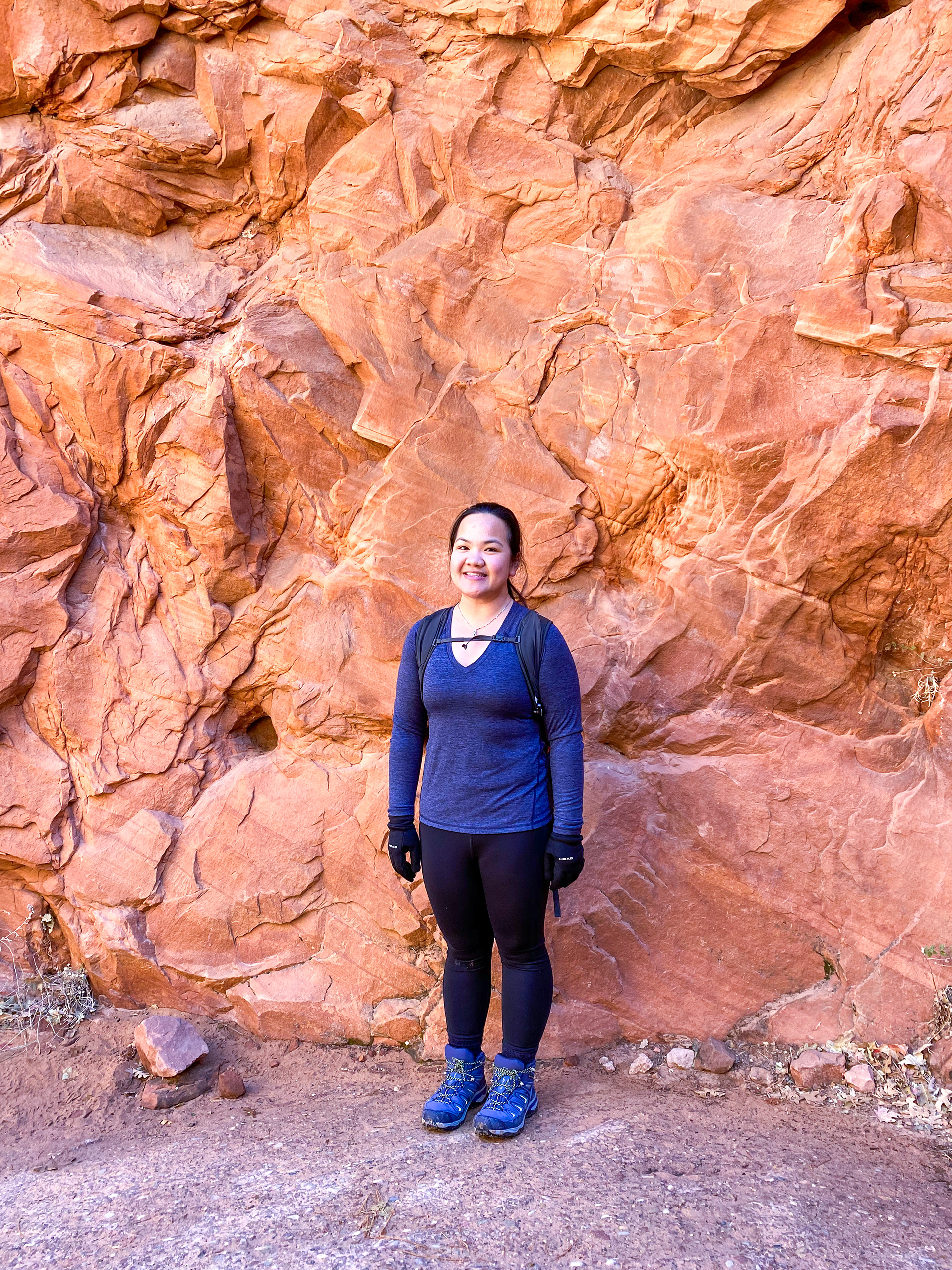

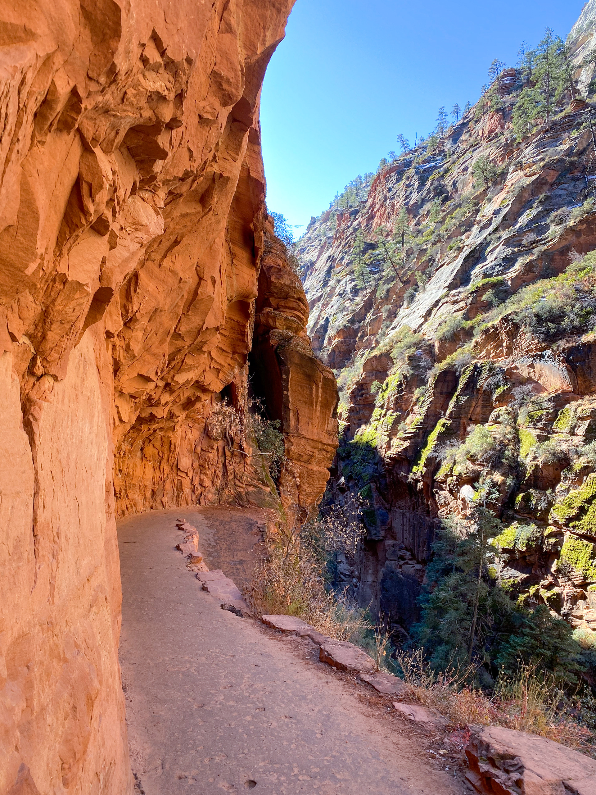
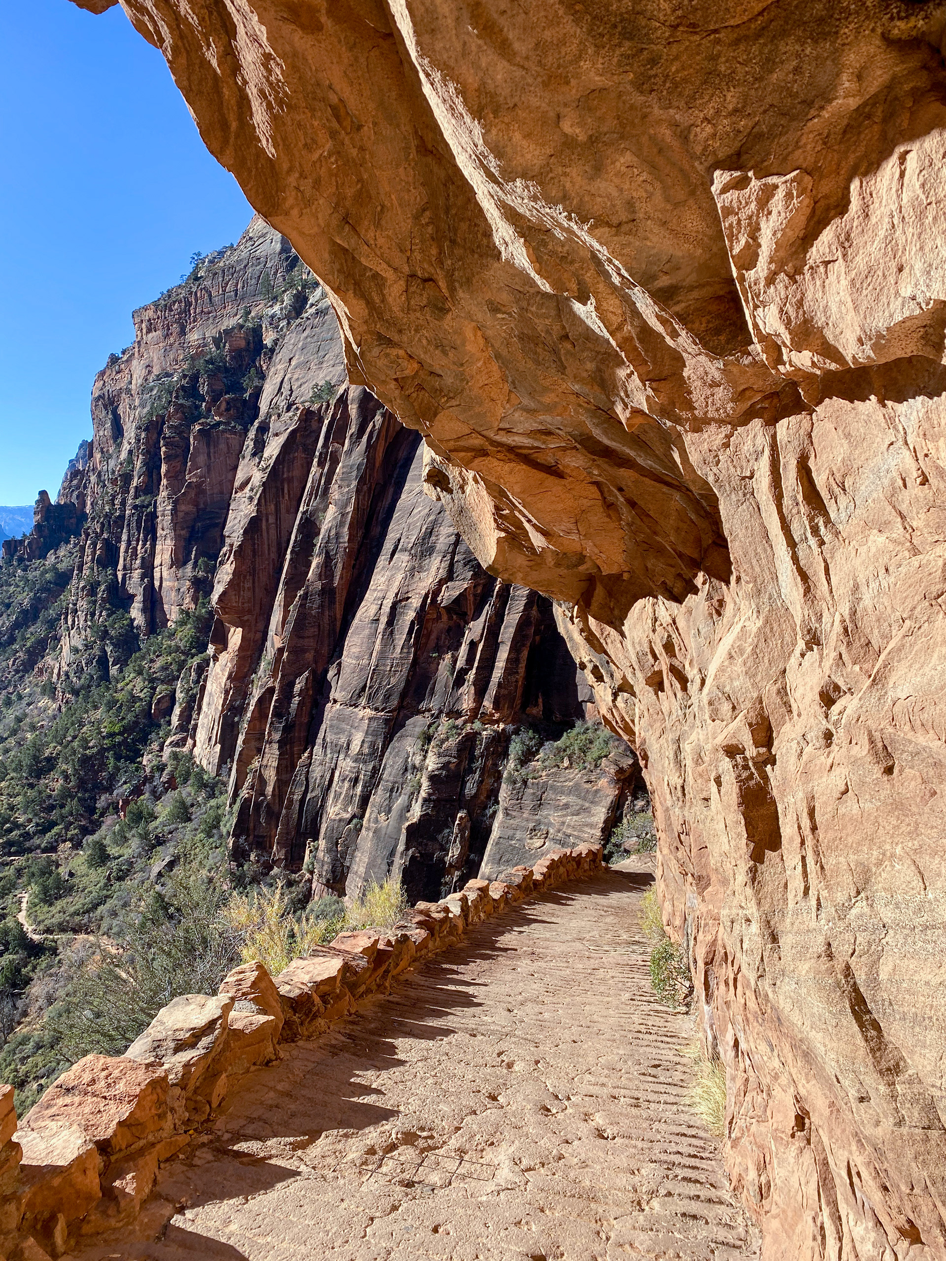

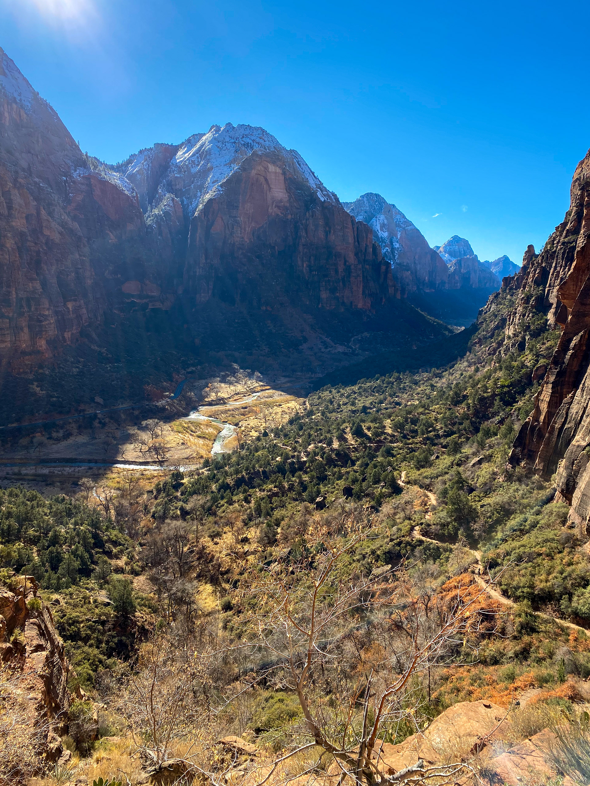

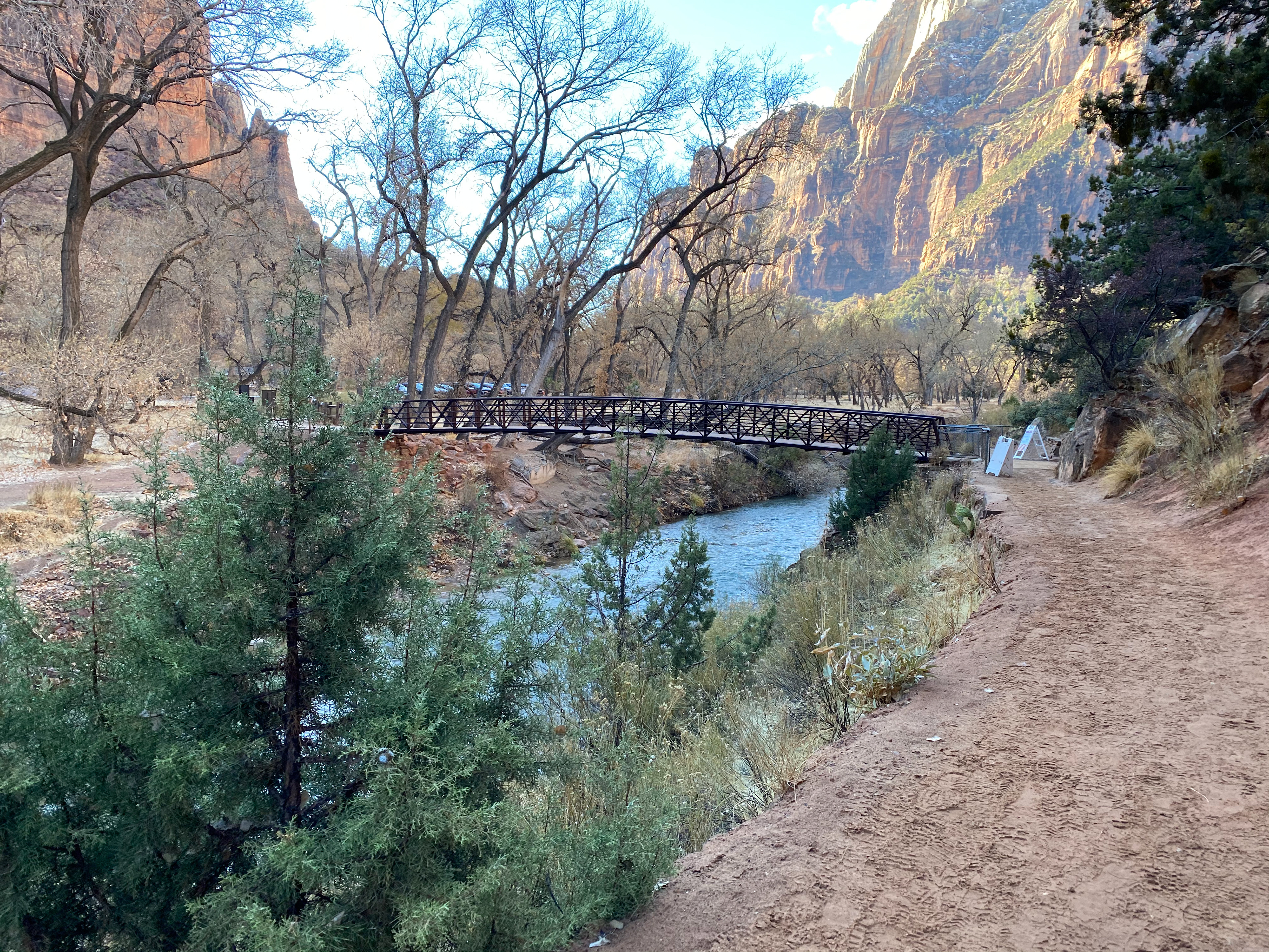
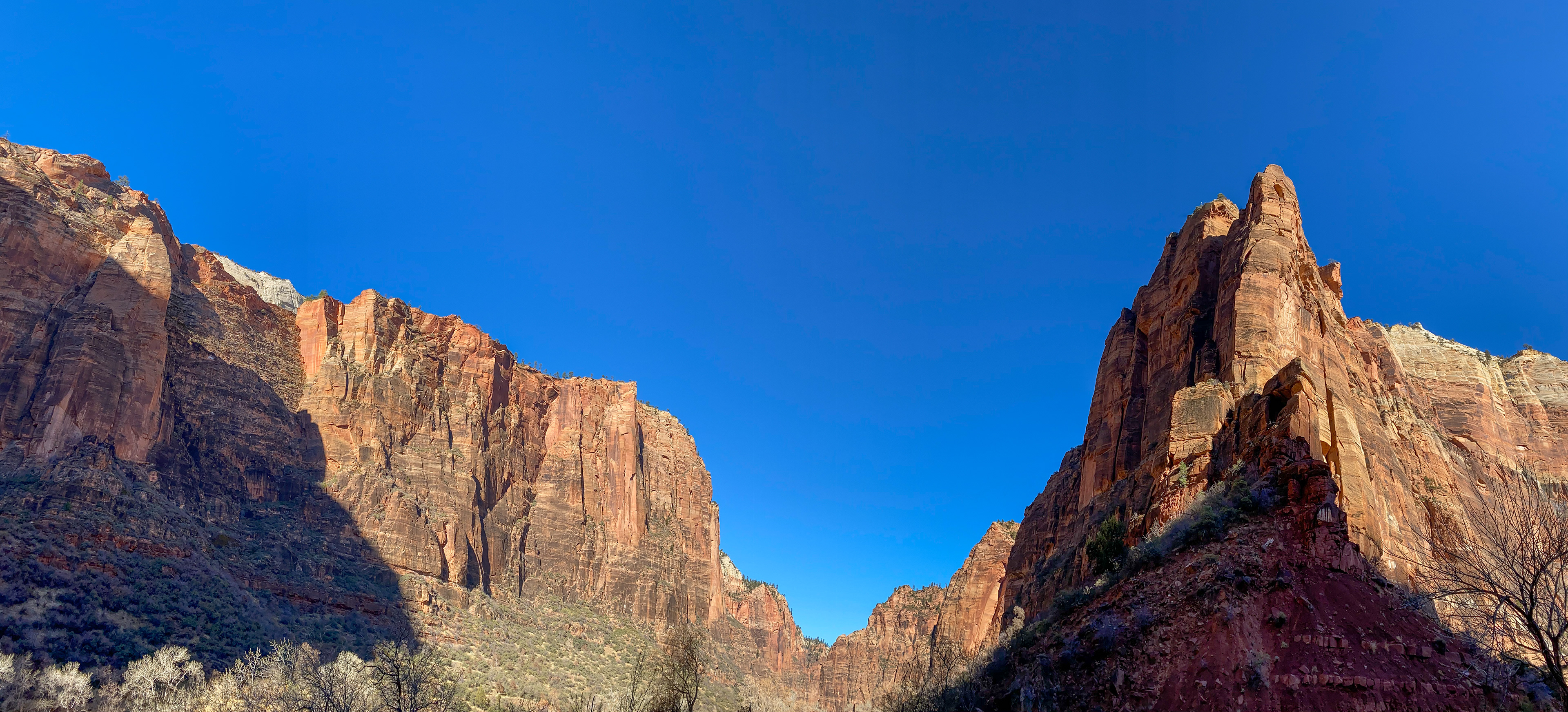

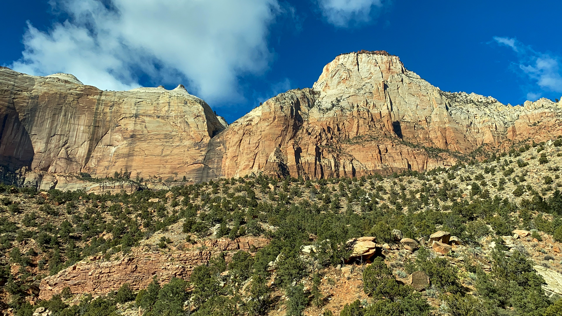
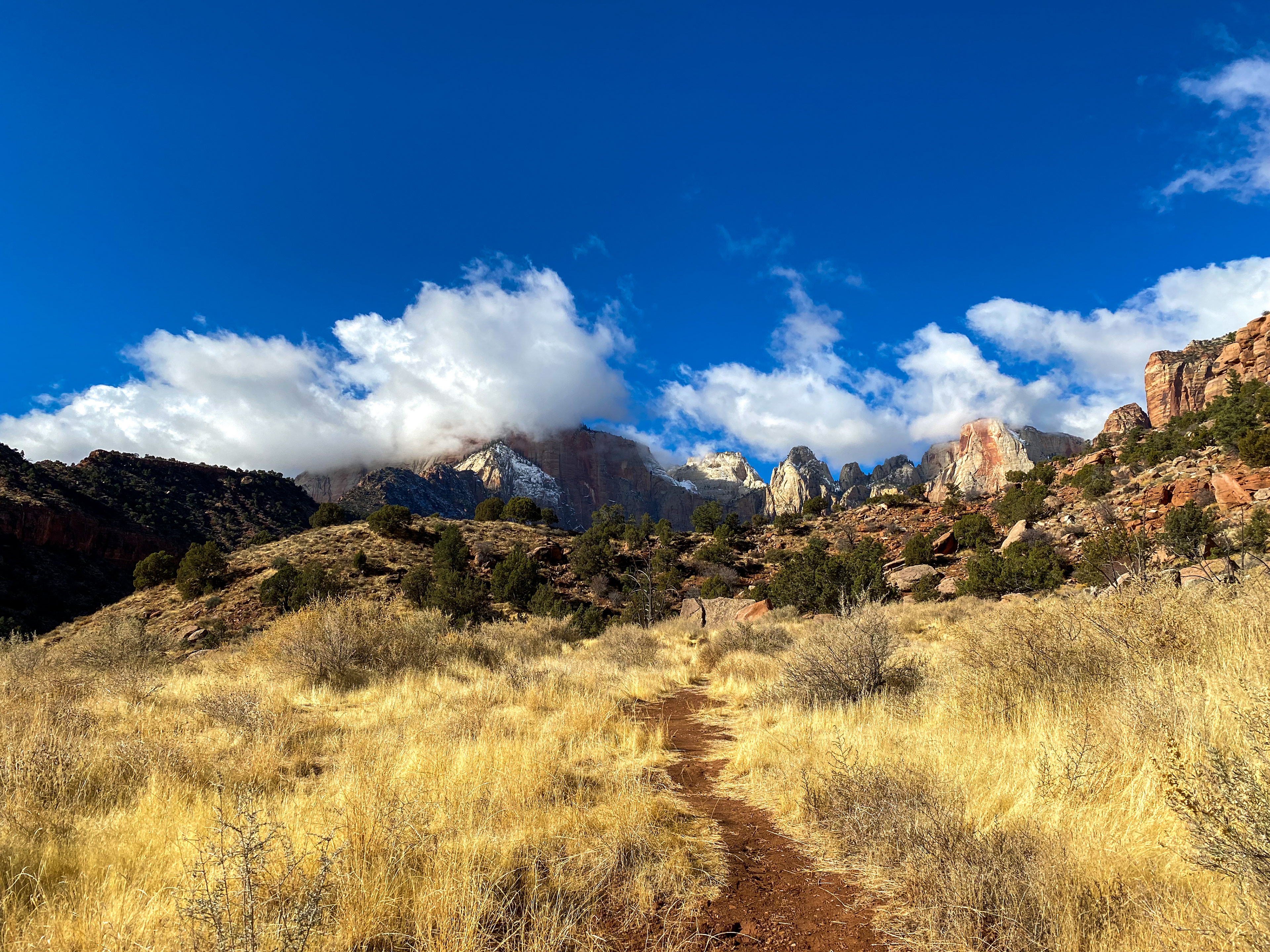

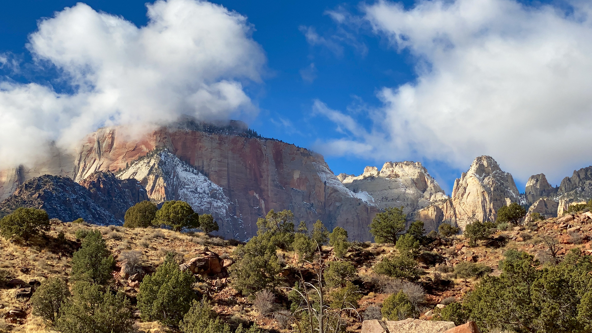

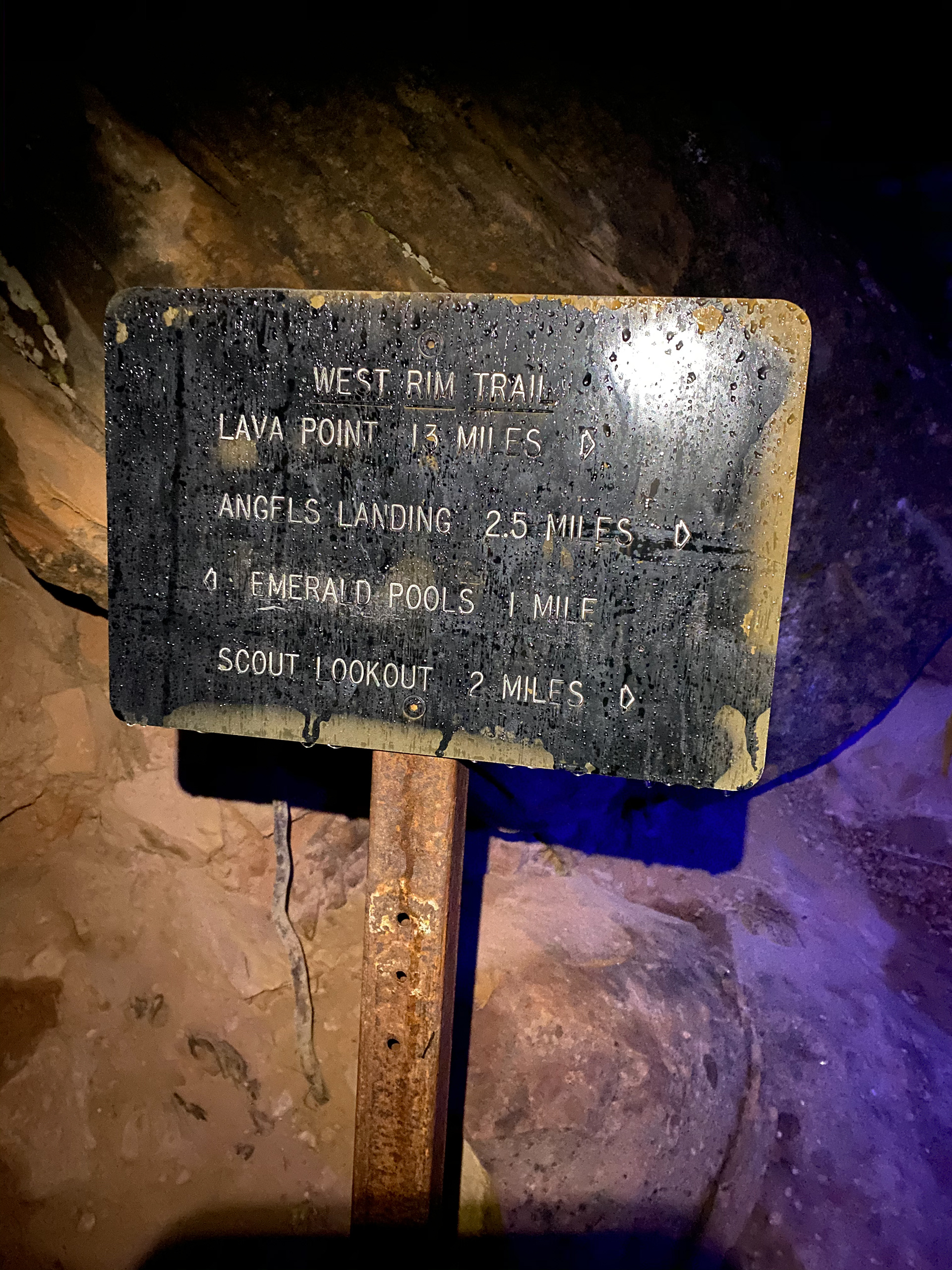


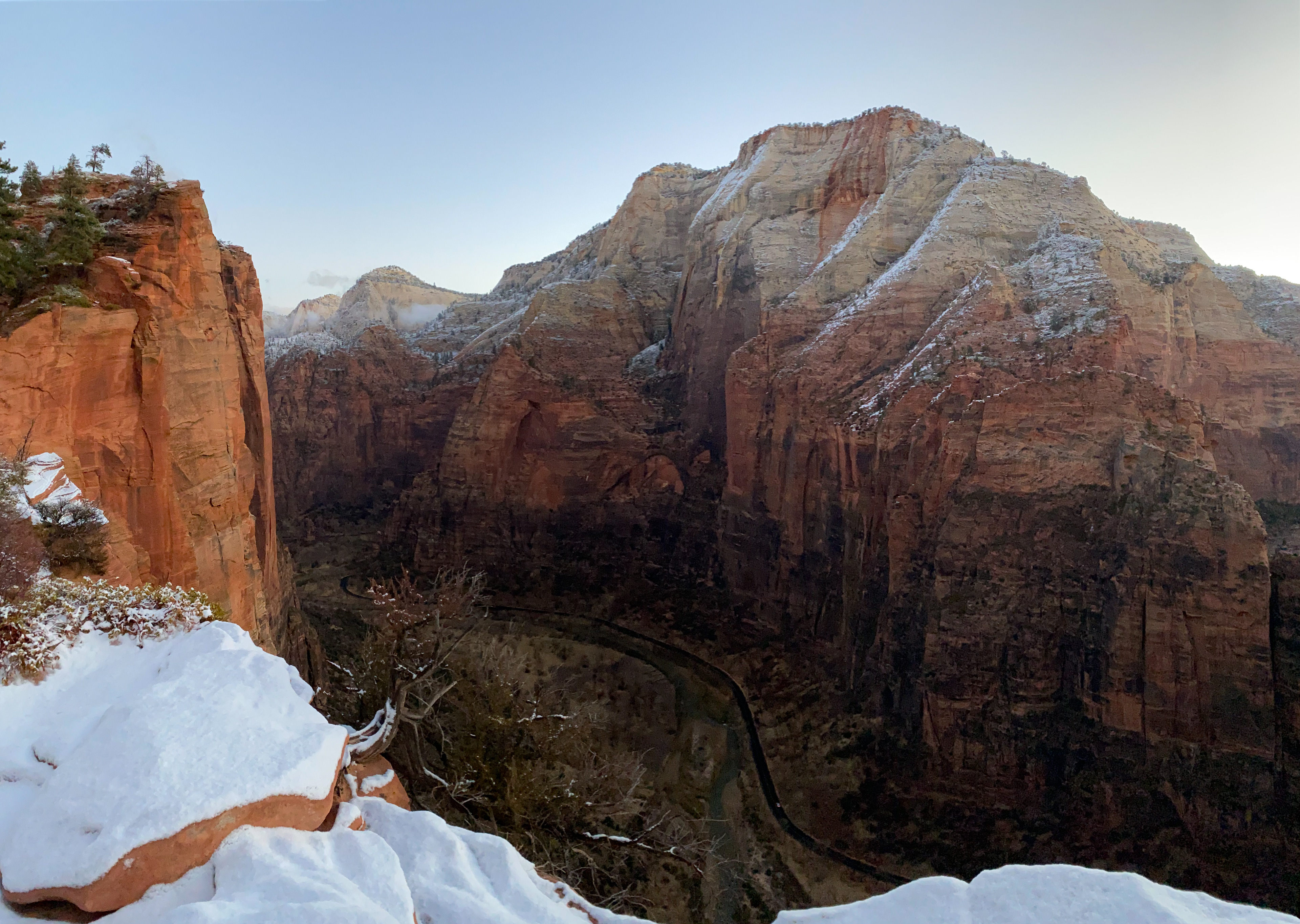

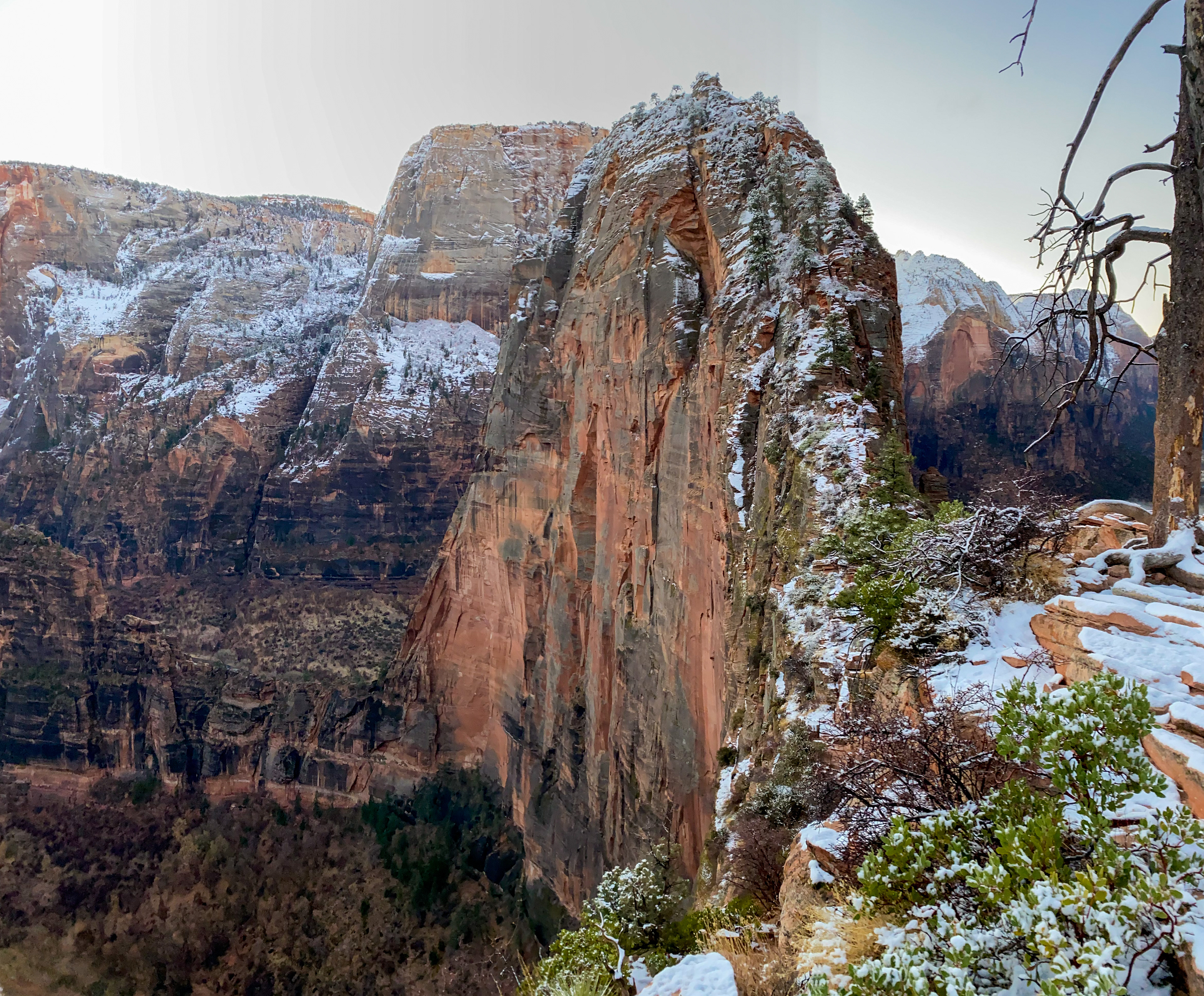

"Angels Landing, known previously as the Temple of Aeolus, is a 1,488-foot tall rock formation in Zion National Park in southwestern Utah. A trail cut into solid rock in 1926 leads to the top of Angels Landing and provides views of Zion Canyon. Its aura of danger satisfies thrillseekers, while its stunning beauty delights photographers and sightseers alike. All of its attributes have combined to make Angels Landing a world-renowned bucket-list adventure." [4Feet]: Waking up at 5 a.m., we arrived at the trailhead, the Grotto, before dawn. The temperature was around the freezing point, but barely any snow or ice was found at the beginning of the trail. When everything remained asleep, we and a few hikers were attempting this famous hike in Zion National Park - Angels Landing, which is a strenuous trail with steep drop-offs and very narrow sections. Yet, it started with a well-maintained trail (the first 2 miles) zig-zag up via Walter's Wiggles to Scout Lookout. Scout Lookout is generally the turnaround point for those who are unwilling to make the final summit push to the top of Angels Landing, and it is easy to know why. The second section is exhilarating but frightening. Most of the challenging parts came after the Scout Lookout at where hikers need to grab the chain side walking the cliff. The "spine" was barely over a one-half mile long between Scout Lookout and the summit of Angels Landing, yet it easily took us an hour to finish it. New snow from the last night snow-capped the top of Angels Landing. All of the rocks became so icy and slippery. Part of the trail is so narrow that there are chains for hikers to steady themselves on. Even so, we still had quite a hard time proceeding without worrying about falling off the cliff. There's no view more dramatic than what we saw hanging onto a chain bolted into a cliff. After a few scary moments and close calls, we finally arrived at the summit of Angels Landing (5,785'). Standing on the top of 270 million-year-old rock layers, Zion Canyon was spread out below us, and the park’s Virgin River was a shiny ribbon in the distance. We were told that this section of the Colorado Plateau was a flat basin at sea level back to the Triassic period. Over millions of years, the plateau has been rising as much as 10,000 feet due to plate tectonics movement, and the canyon walls have been eroded by the North Fork of the Virgin River. 12/18/20


